


Hochjoch Hospiz - Middle Guslarspitze - Vernagthütte


Fotografie našich uživatelů
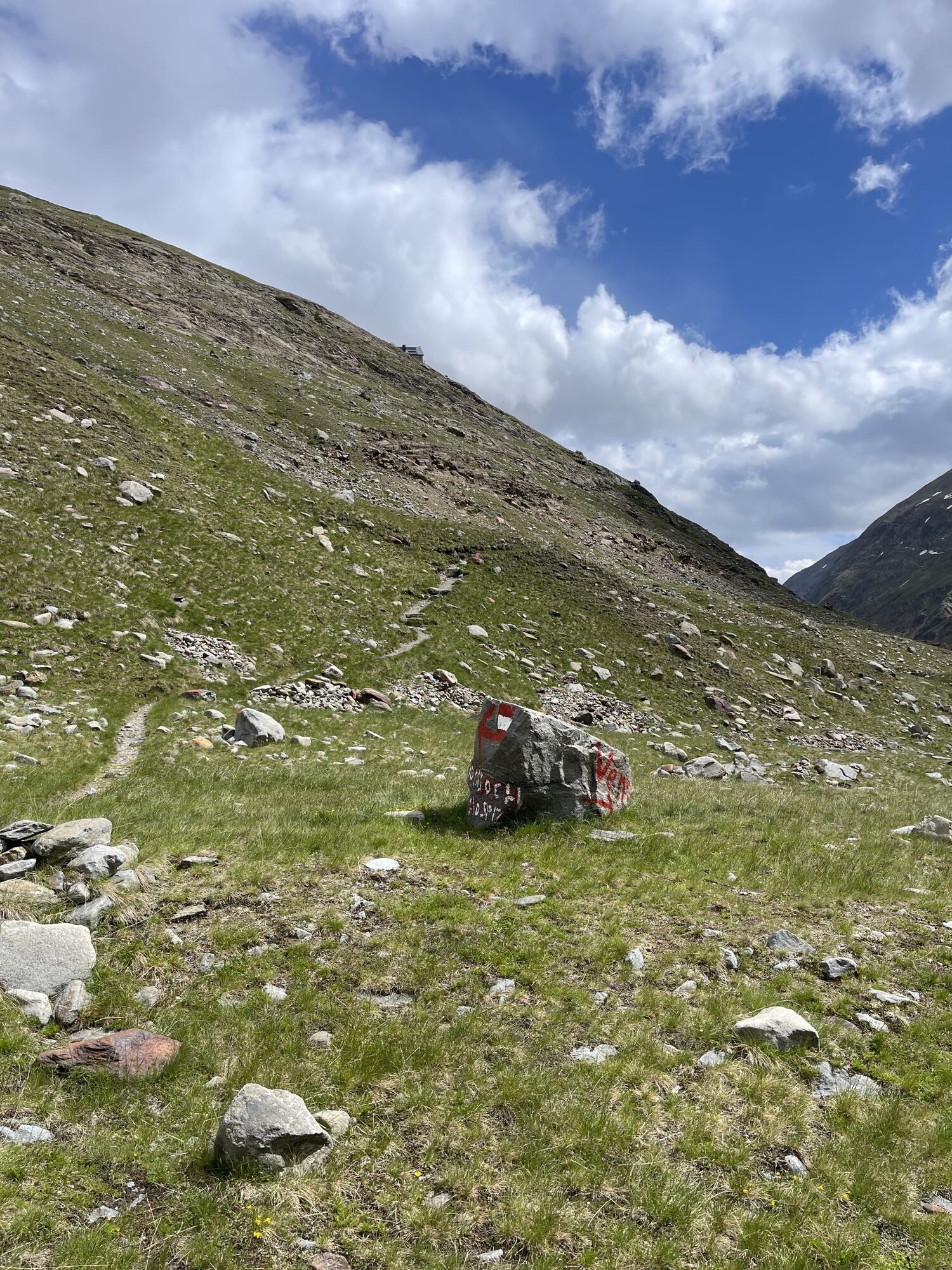
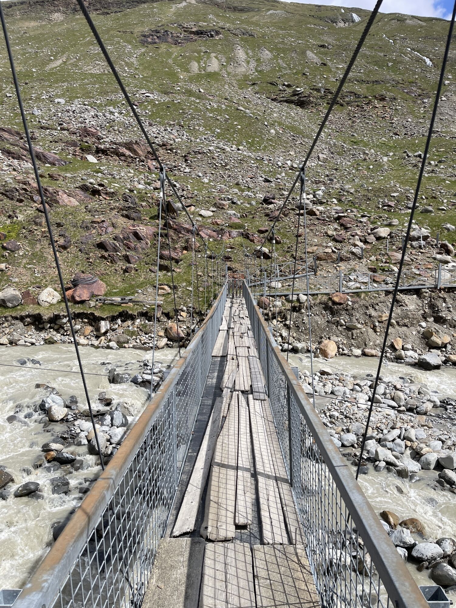
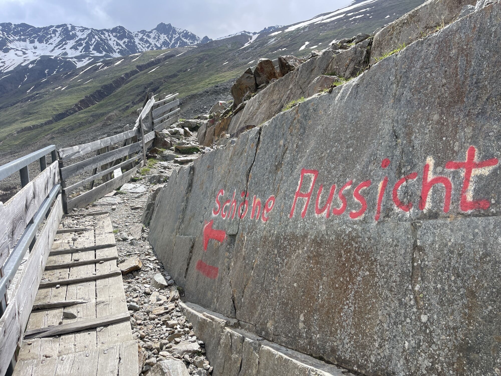
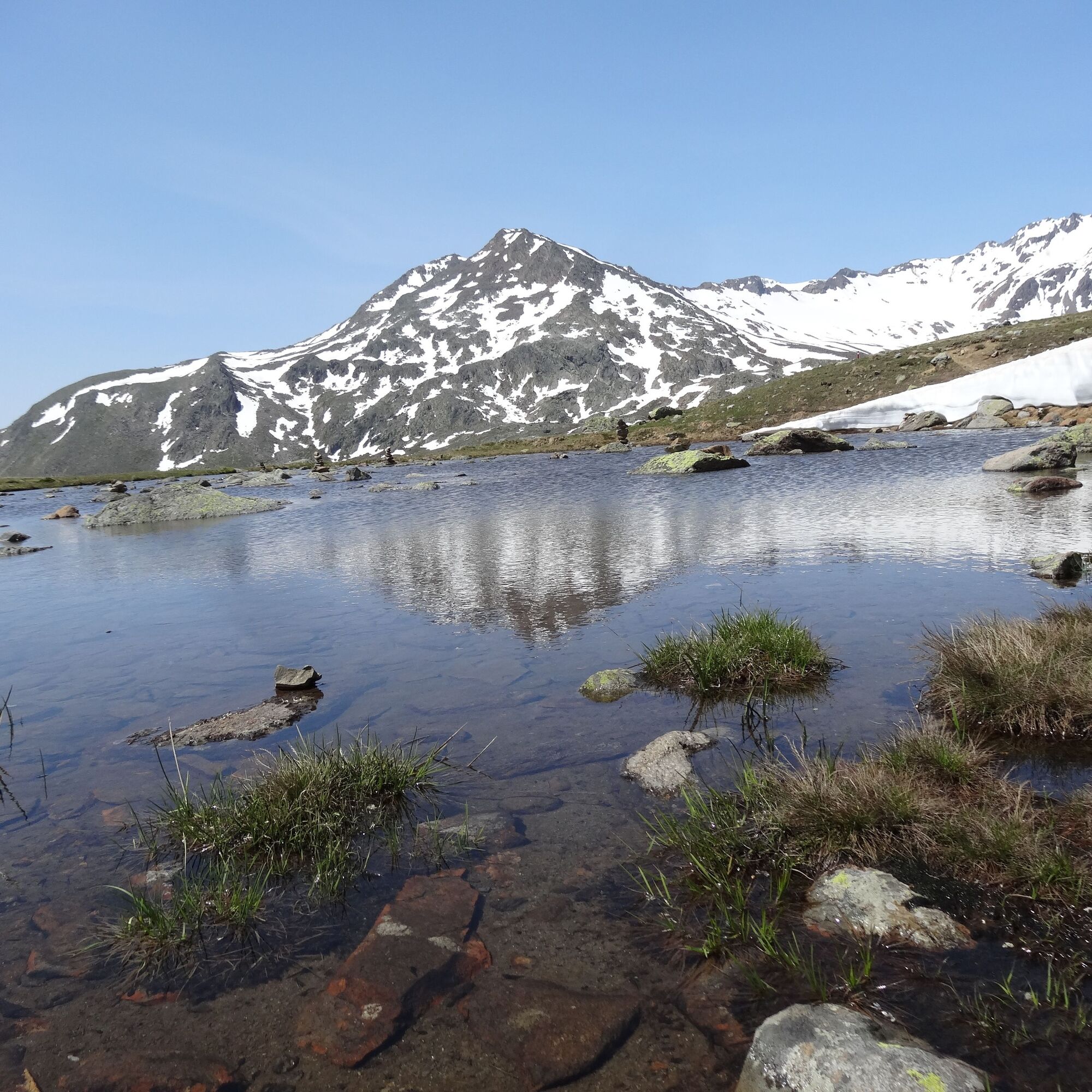
Hochjoch Hospiz to the Middle Guslarspitze (3,126 m – walking time: about 3 hours) – descent to the Vernagthütte (2,755 m – walking time: about 1 ½ hours) or directly via the high path from the Hochjoch...
Hochjoch Hospiz to the Middle Guslarspitze (3,126 m – walking time: about 3 hours) – descent to the Vernagthütte (2,755 m – walking time: about 1 ½ hours) or directly via the high path from the Hochjoch Hospiz to the Vernagthütte 2 hours – overnight stay

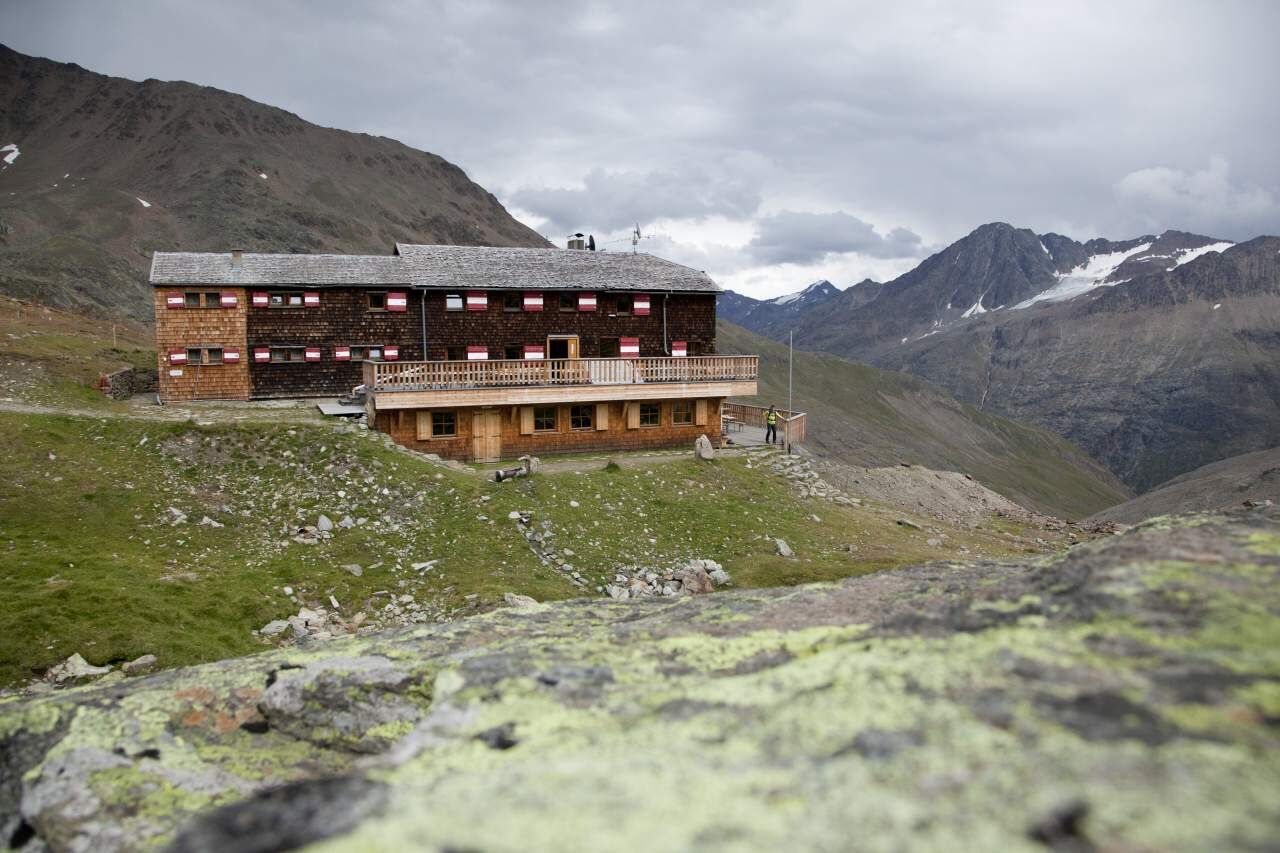
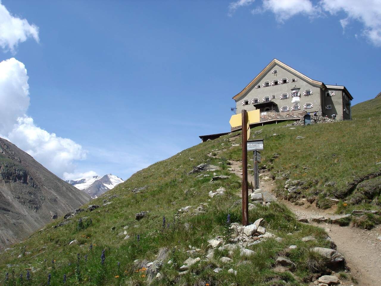
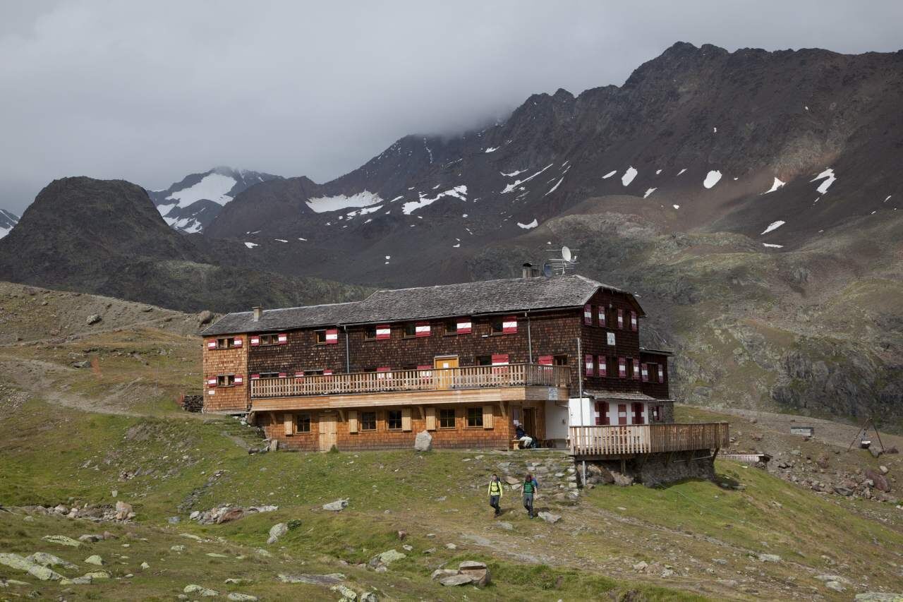
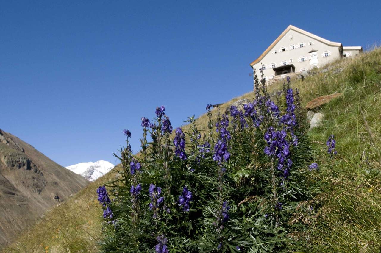
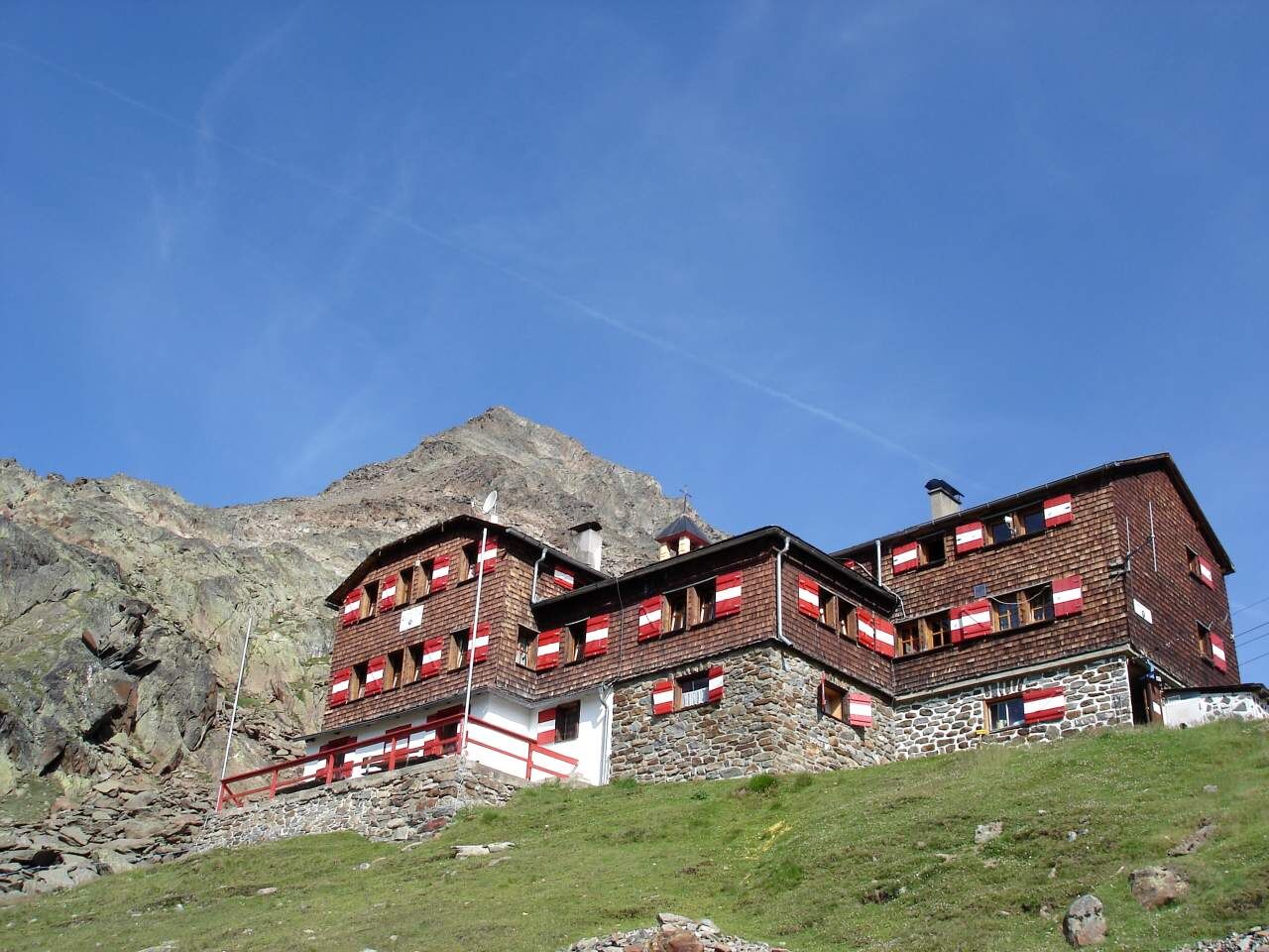
Hochjoch Hospiz to the Middle Guslarspitze (3,151 m – walking time: about 3 hours) – descent to the Vernagthütte (2,755 m – walking time: about 1 ½ hours) or directly via the high path from the Hochjoch Hospiz to the Vernagthütte 2 hours – overnight stay
Wearing hiking equipment such as breathable and weather-appropriate outdoor clothing, ankle-high mountain boots, wind, rain and sun protection, a hat and possibly gloves is recommended! It is also important to bring sufficient food as well as a first aid kit, a mobile phone and possibly a hiking map.
Vent is located in western Austria in the state of TIROL, in a southern side valley of the Inn valley – the ÖTZTAL. For your journey by car, plan the optimal route from your home location using the route planner online right away: https://www.google.at/maps
Travel comfortably and safely by train to the Ötztal station. The final stop or exit point is the ÖTZTAL station. Afterwards, you can travel conveniently and quickly with the public bus service or local taxi companies through the entire valley to your desired destination! The current bus timetable is available at: http://fahrplan.vvt.at
In the mountain climbing village of Vent, the following parking options are available to you.
- In summer in front of the village (parking meter, coins or EC card only) and at the valley station of the chairlift (at the cash desk of the cable cars)
- In winter only at the valley station of the chairlift
Cost: €5.00 per day/car
More information about hiking in the Ötztal: https://www.oetztal.com/wandern
Oblíbené prohlídky v okolí
-
4.3
Vorderkaser - Eishof / Texelgruppe
světloTuristika 4.83 km -
4.2
Rundweg Vernagter See plus Einkehr Finailhof
středníTuristika 8.73 km -
4.0
Vernagt-Stausee (Seerundgang)
světloTuristika 6.70 km -
5.0
Kreuzspitze
heavyTuristika 11.6 km -
4.5
Vent - Wilder Mann - Breslauer Hütte - Stableinalm
středníTuristika 7.25 km -
5.0
From Vent to the Similaun at 3,606 m
heavyVysokohorská turistika 29.2 km -
4.8
Vent - Martin Busch Hut - Similaun Hut
středníTuristika 13.7 km -
5.0
Vent - Similaun Hut - Ötzi Discovery Site
středníTuristika 14.9 km -
Breslauer Hut - Wildspitze
heavyVysokohorská turistika 4.33 km -
5.0
Weißkugel 3738m - Kurzras über Schöne Aussicht zur Weißkugel
heavyVysokohorská turistika 14.7 km
Pěší turistika a stopování


Nenechte si ujít nabídky a inspiraci pro vaši příští dovolenou
Vaše e-mailová adresa byl přidán do poštovního seznamu.