
Ski tour Hochgrabe 2.951m (via Außervillgraten)
heavy
Pořiďte si tuto prohlídku do mobilního telefonu
Ski tour Hochgrabe 2.951m (via Außervillgraten)
heavy
Lyžařská trasa
10,58
km
Naskenujte QR kód a spusťte navigaci v aplikaci bergfex.


Pěší turistika a stopování




Ski tour Hochgrabe 2.951m (via Außervillgraten)
heavy
Vzdálenost
10,6
km
Doba trvání
06:00
h
Ascent
1.382
hm
Hladina moře
1.526 -
2.922
m

Navigujte po trase v aplikaci
Nainstalujte si aplikaci zdarma a mějte trasu vždy na očích díky GPS navigaci a sledování polohy.
Využijte nyní službu „ bergfex “ v aplikaci
Naskenuj QR kód pomocí fotoaparátu
Jakmile je aplikace nainstalována, obsah se otevře přímo. Pokud aplikaci ještě nemáš, budeš přesměrován na stránku, kde si ji můžeš zdarma stáhnout.
Stažení skladby
Ski tour Hochgrabe 2.951m (via Außervillgraten)
heavy
Lyžařská trasa
10,58
km

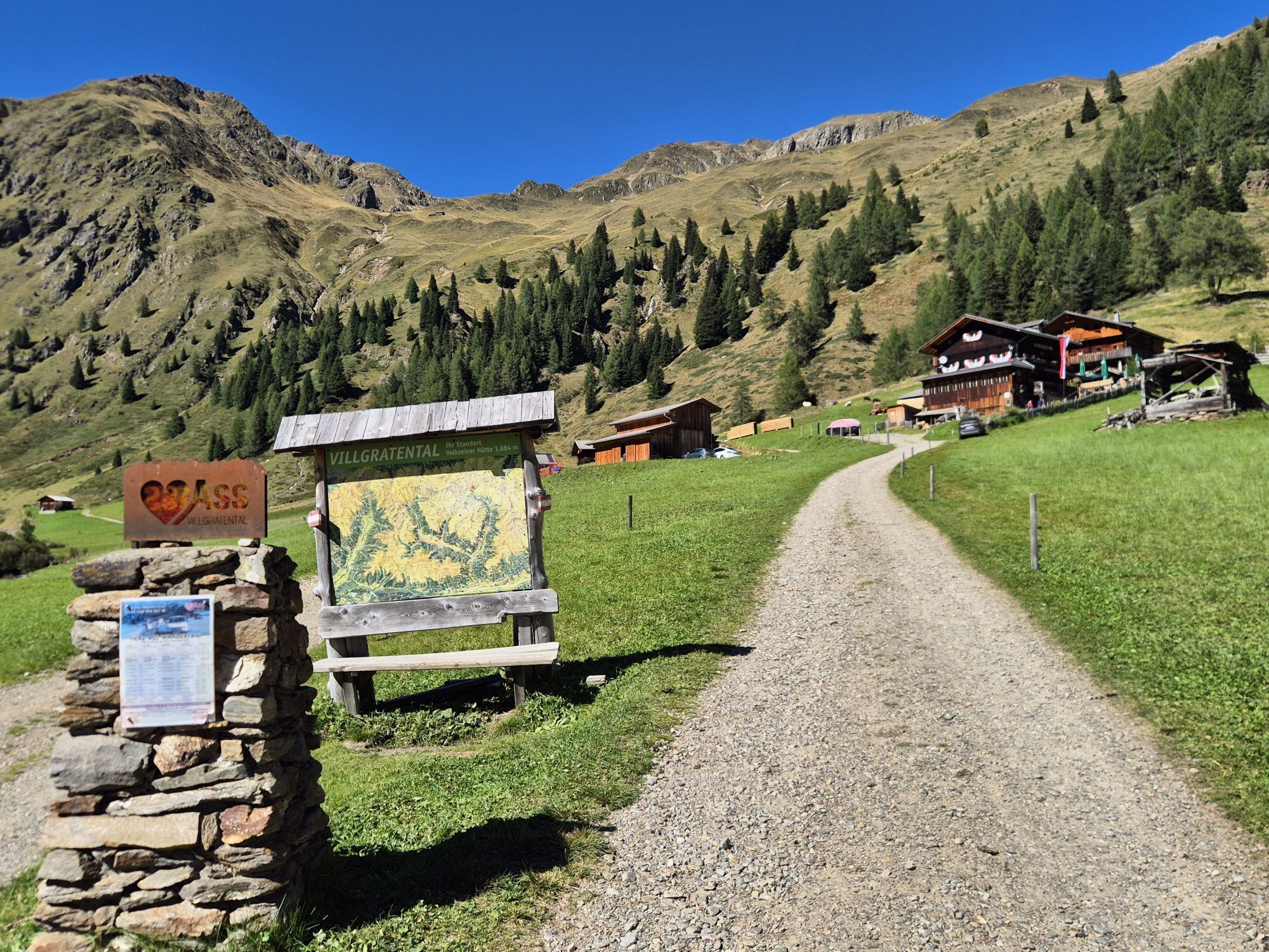
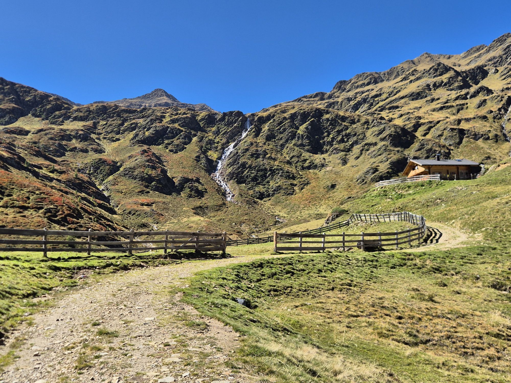
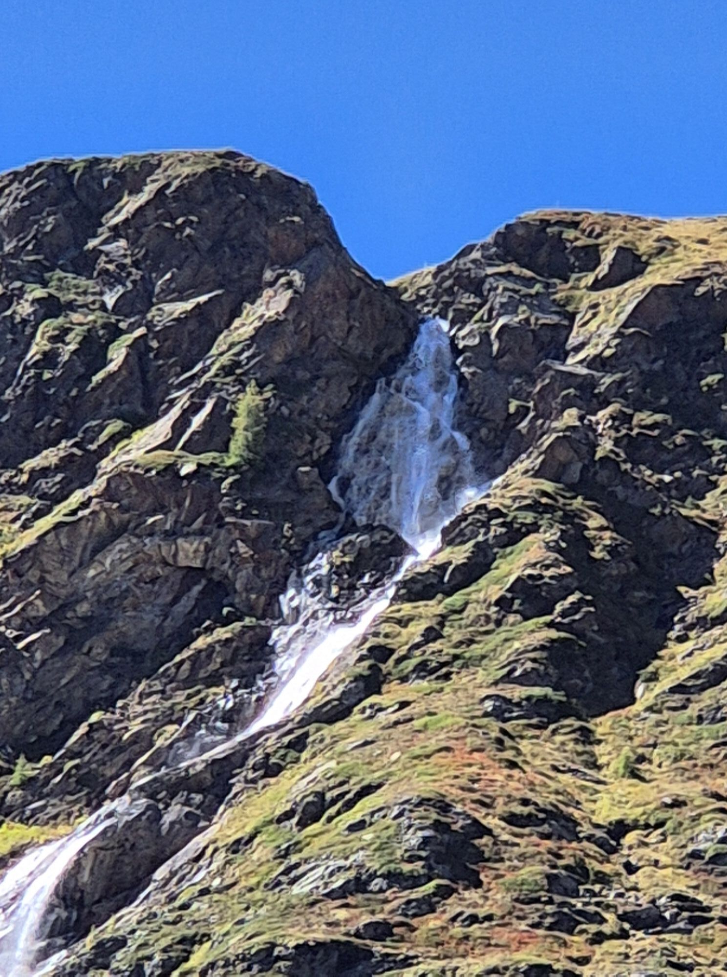
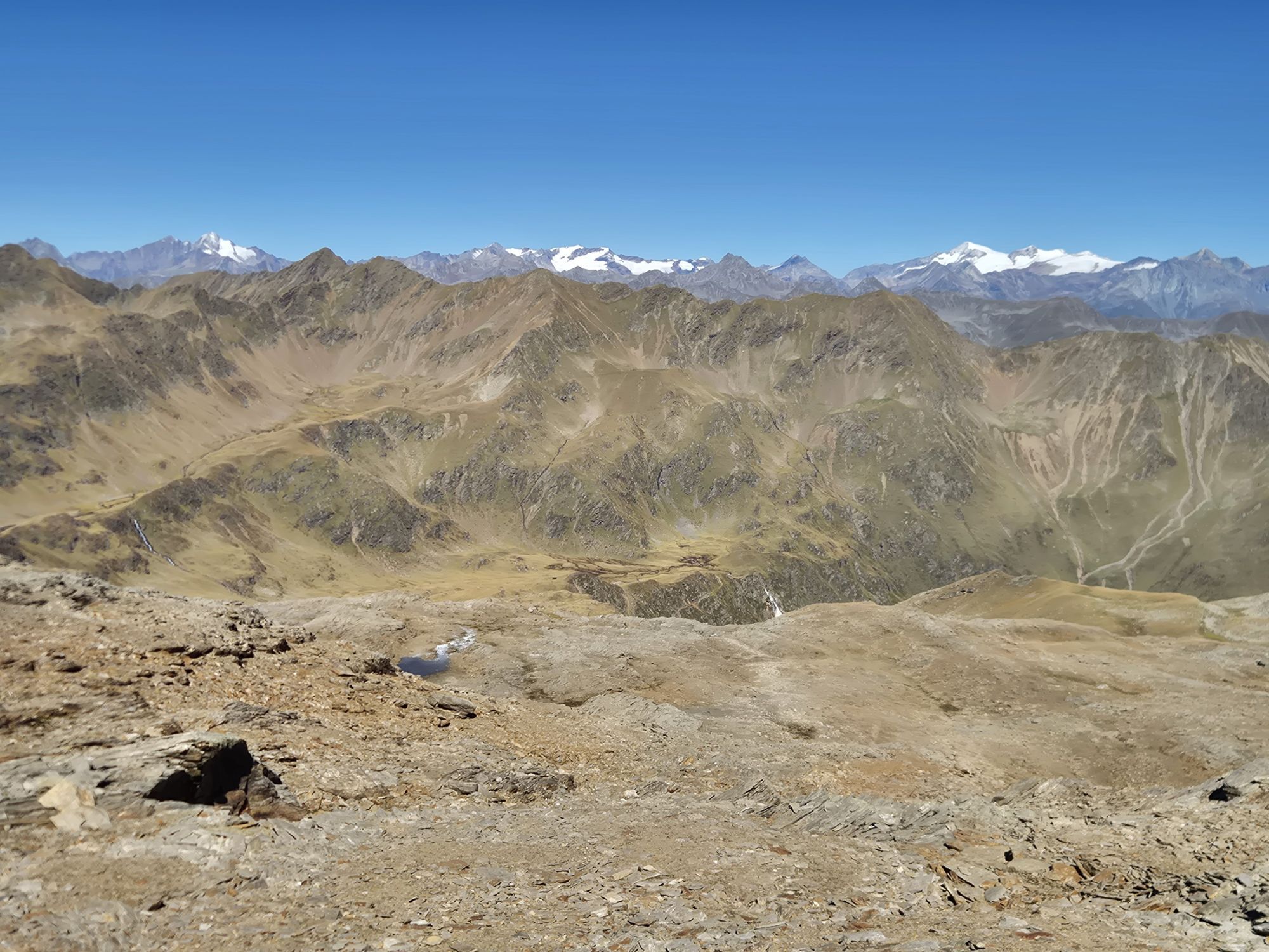
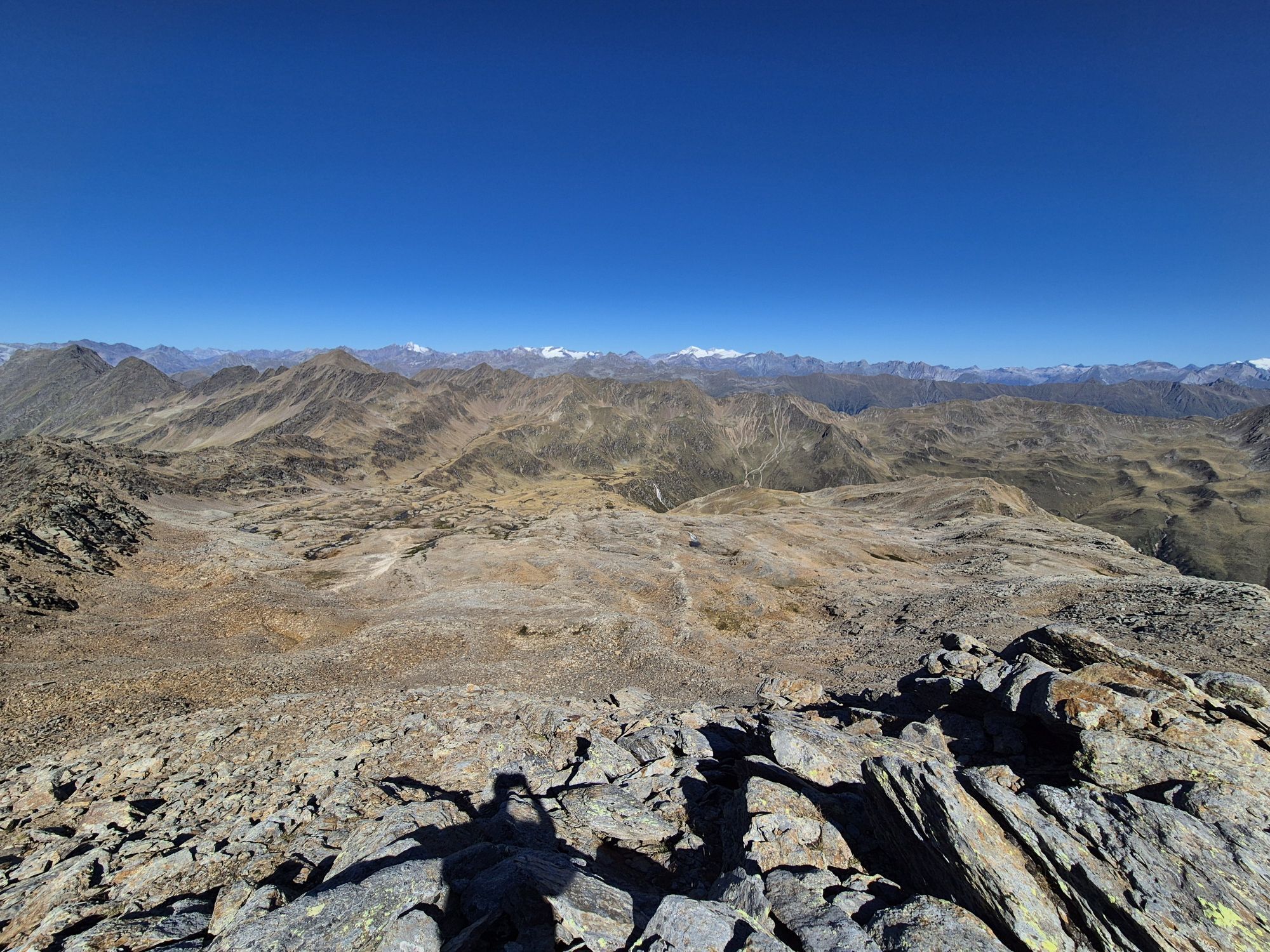
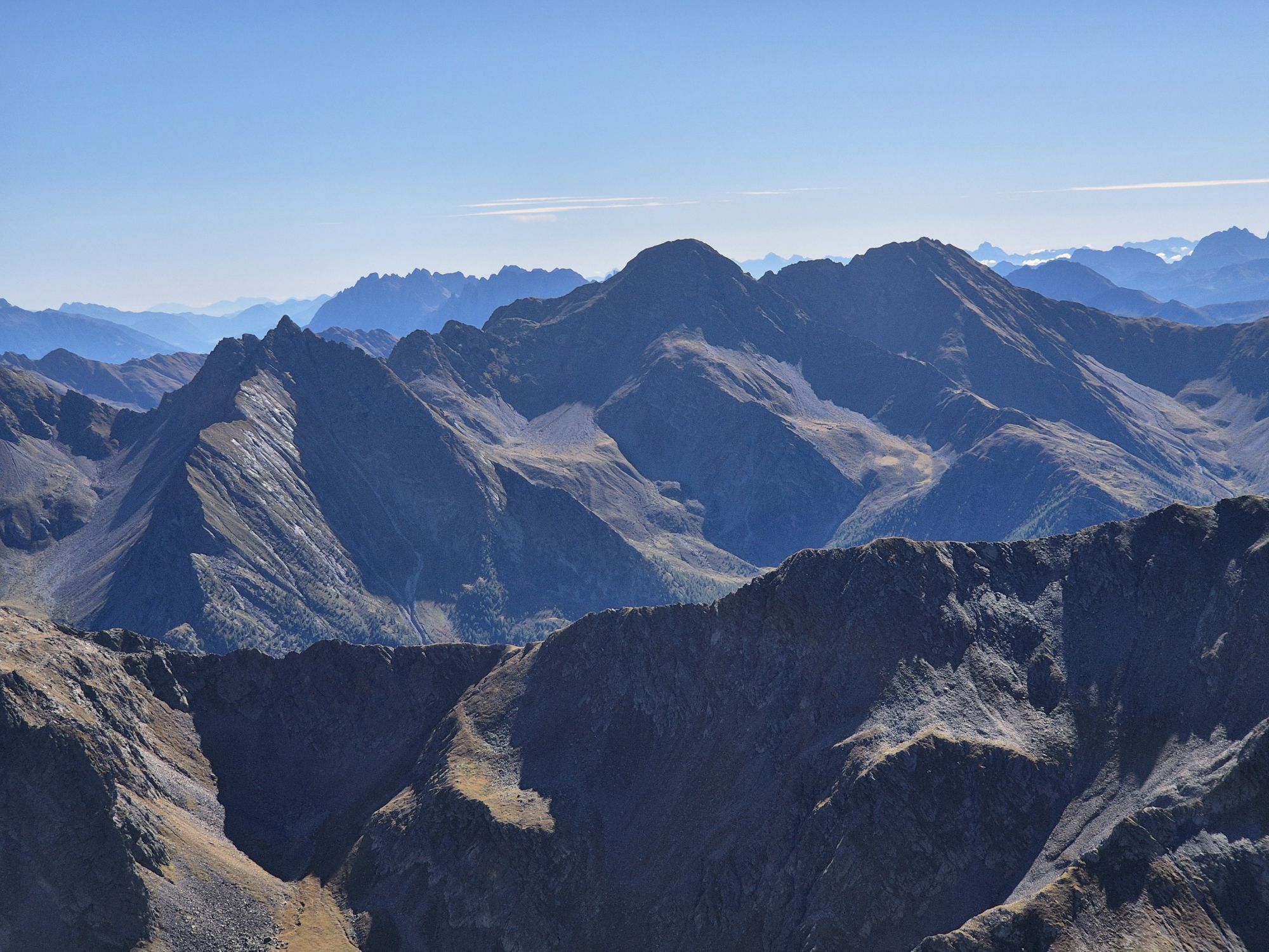
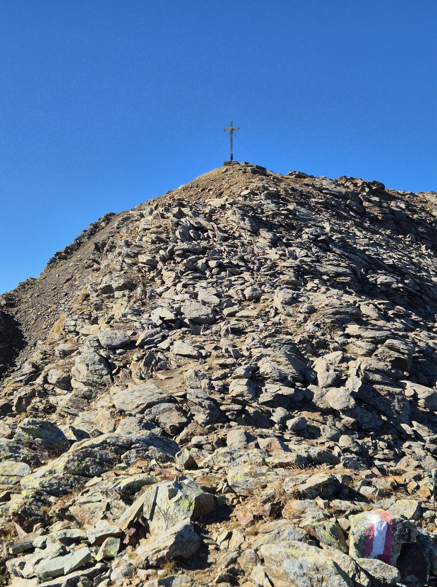
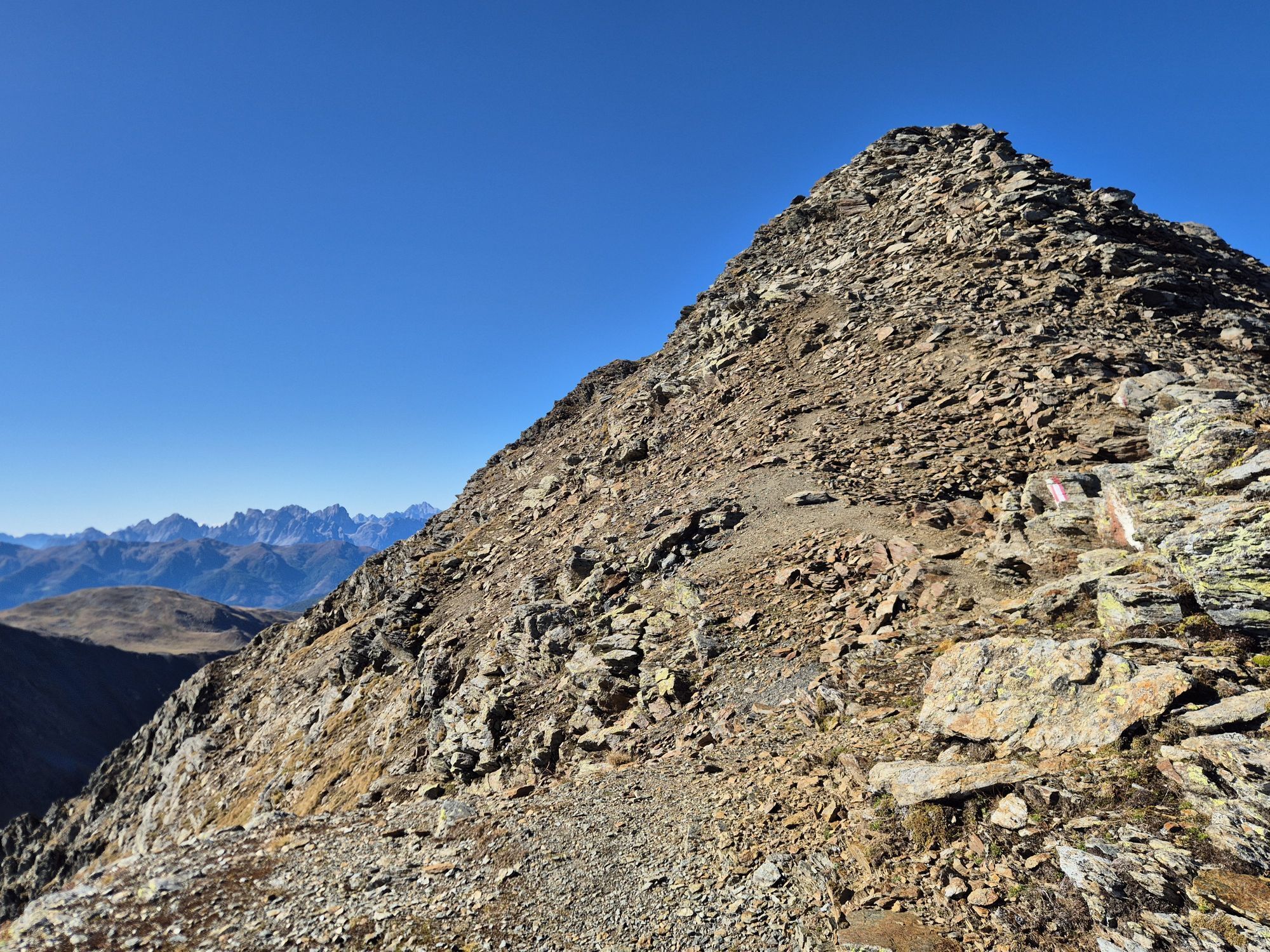
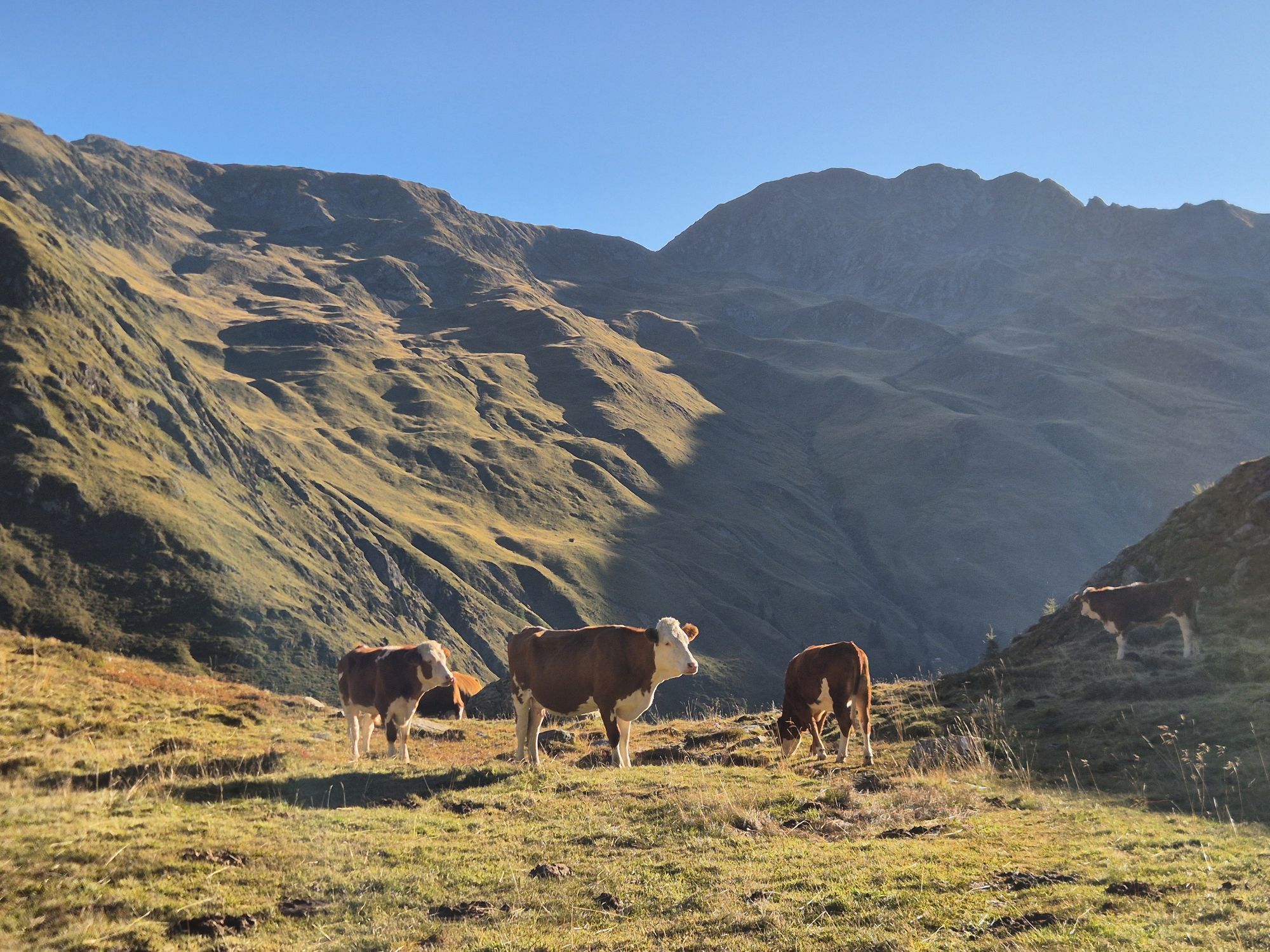
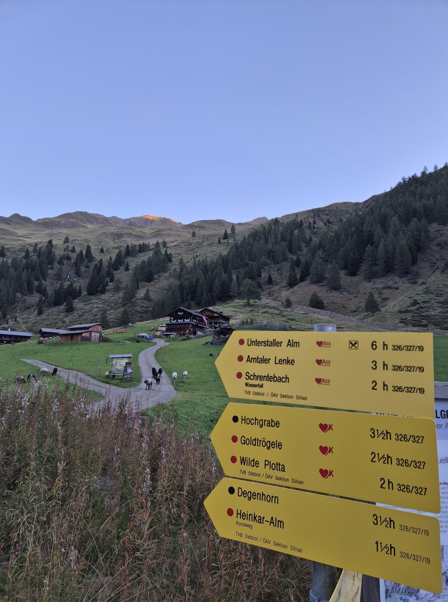
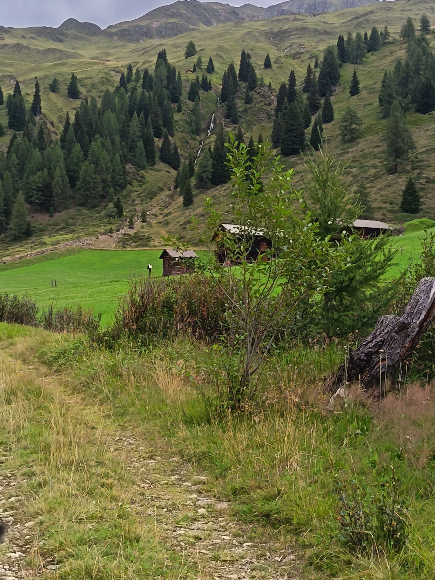
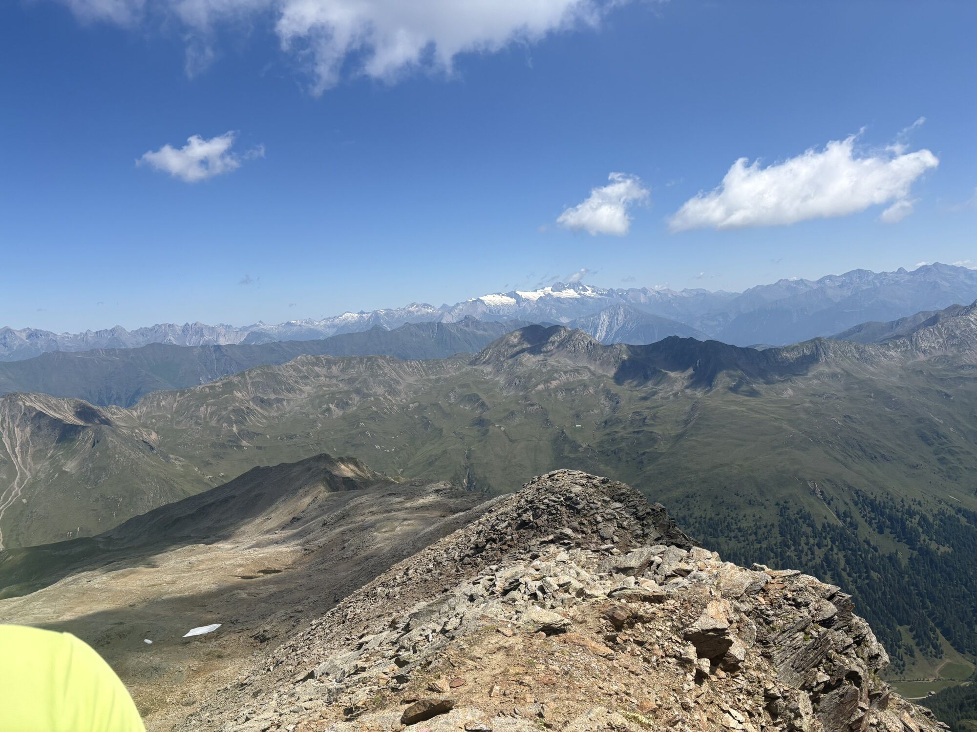

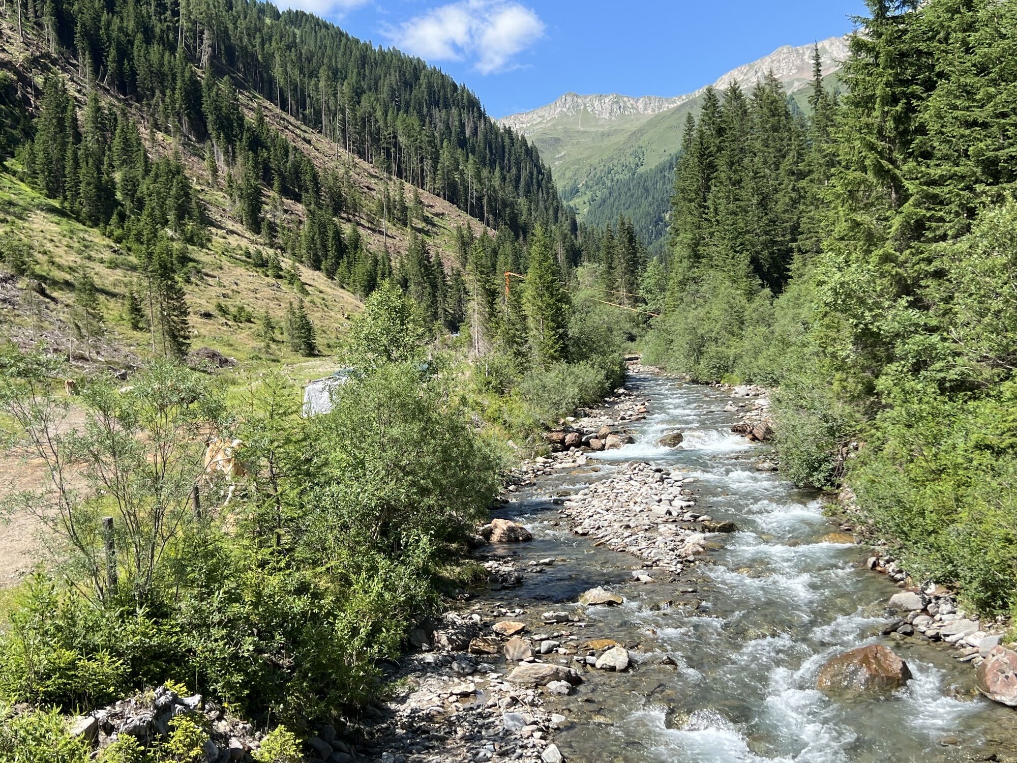
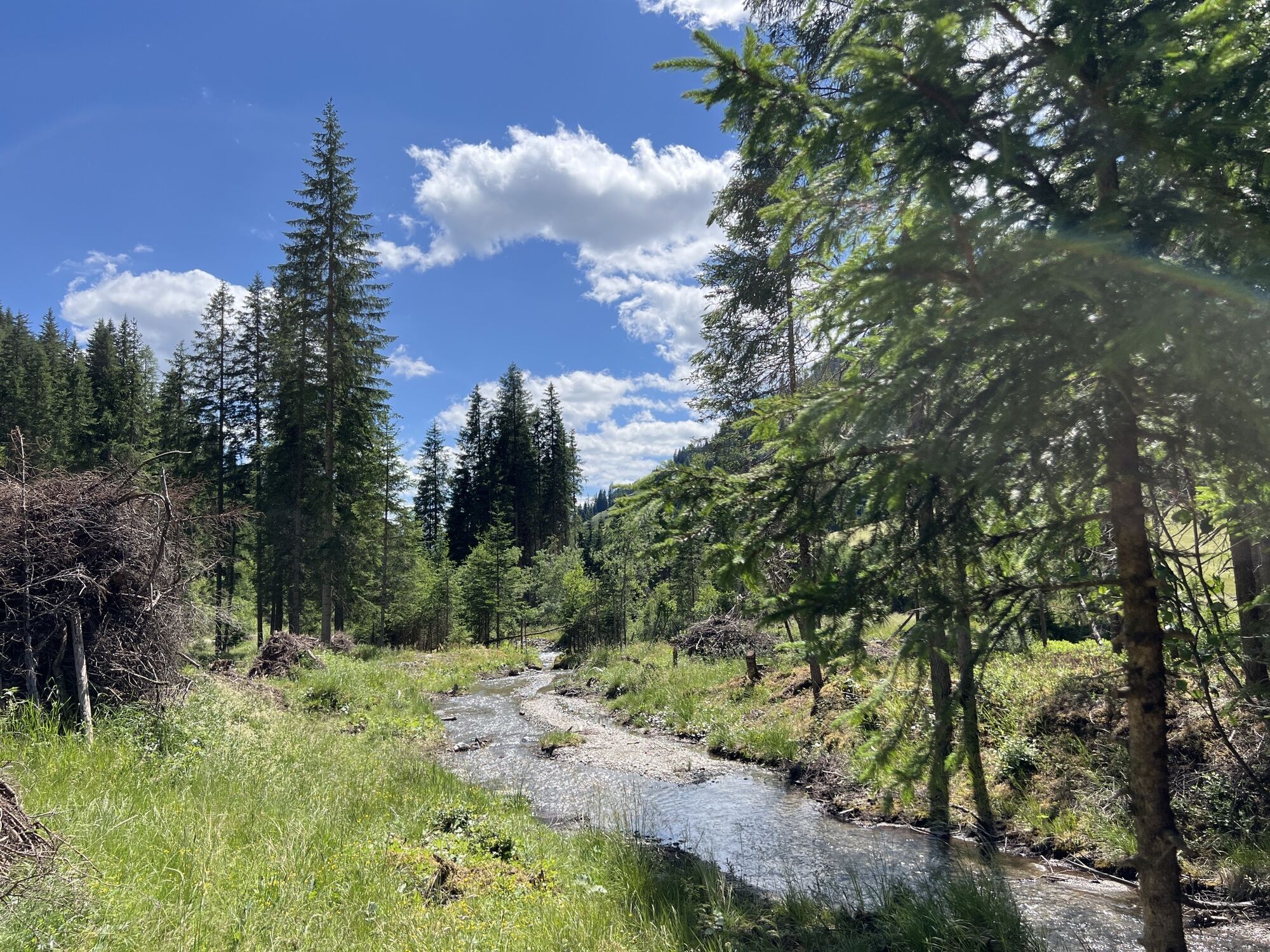
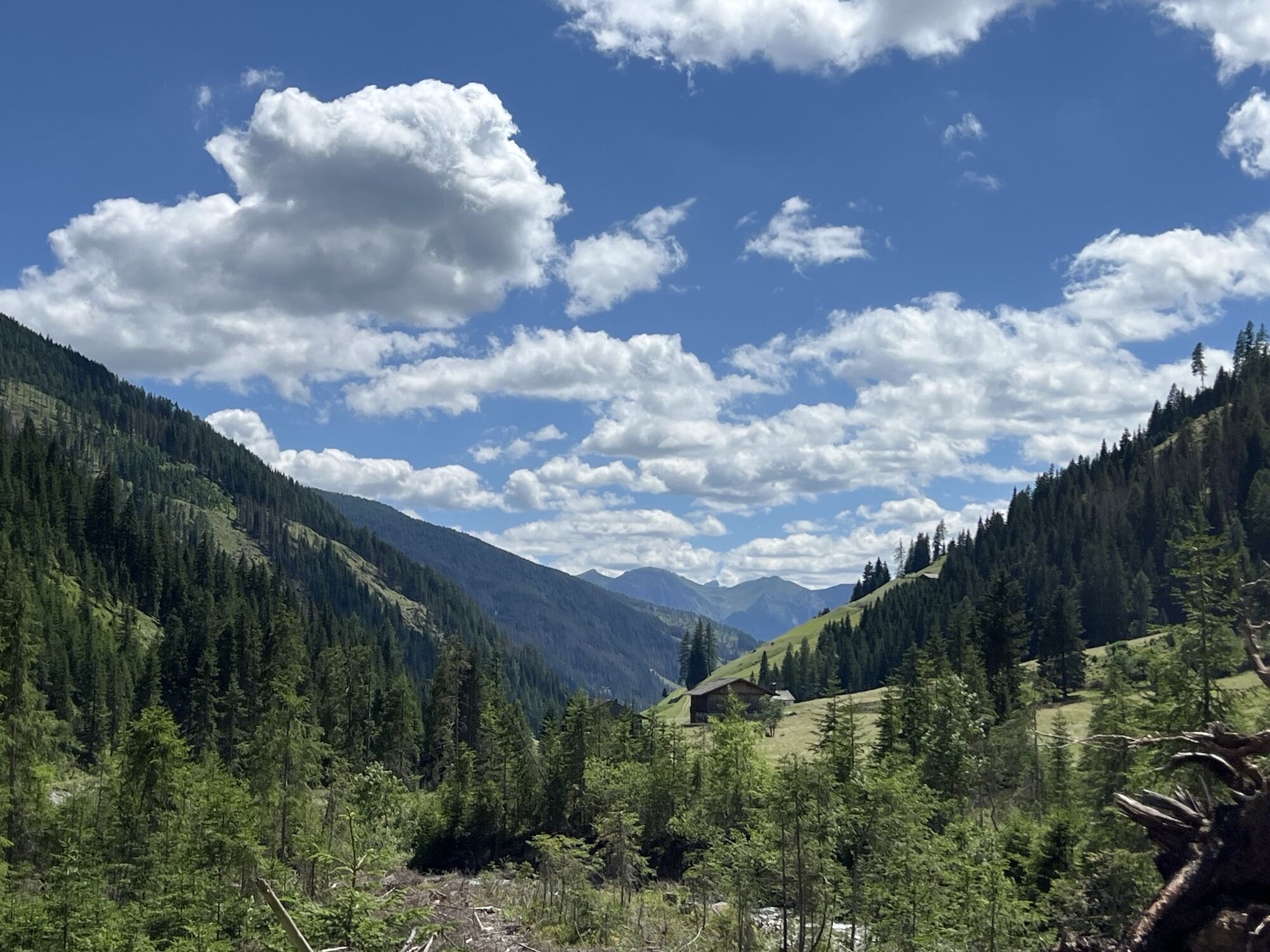
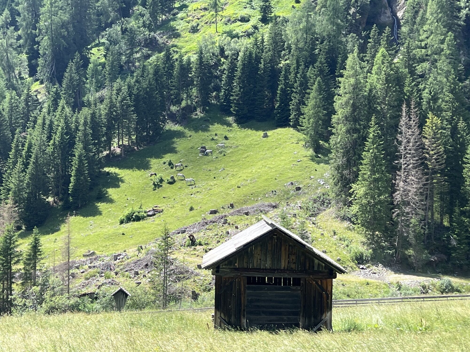
Via the Alpine road, pass Volkzeinerhütte 1848 m heading to the end of the valley. Along the summer trail to the Heinkaralm, from it flat initially, then in a broad left sweep, cross the Schrentebach at...
Popis
Via the Alpine road, pass Volkzeinerhütte 1848 m heading to the end of the valley. Along the summer trail to the Heinkaralm, from it flat initially, then in a broad left sweep, cross the Schrentebach at a favourable point. Ascend via the slopes which follow, to the left of the Bachgraben, proceeding in a south-westerly direction via a trough until you get to flat terrain at around 2250 m. A steep gully is now well visible (40° key point of the tour), via which there is a further climb. After overcoming this, the terrain now very clearly flattens out. Continue via roughs and base areas in a south-easterly direction, until at about 2800 m the route bears left and you get to the north-east ridge via a steep section, where a steeper ridge starts (use skis when the conditions are good) and you now get to the summit.
Characteristics:
The Hochgrabe is not just a challenging ski summit from Innervillgraten. The tour described here via Winkeltal is only for habitual ski mountaineers. The tour lengths, steepness of the gully and orientation exact high demands from every ski mountaineer. When visibility is poor the tour just be stopped in good time. Due to the heights of the summits, almost 3000 m, you can still come across powder snow on the north flanks in April. The panorama views at the summit are stunning. Your gaze is drawn from the Dolomites across the Ortler group and the Hohe Tauern right to the Julian Alps.
Descent: as the ascent or after the steep gully exit on the right side of the valley (north slope) in the summer trail area to Volkzeinerhütte or take the south ascent via Einettal and take a taxi back to the starting point.
Trasa
Trasa
Ski tour Hochgrabe 2.951m (via Außervillgraten)
heavy
Lyžařská trasa
10,58
km


Vybavení
Basic equipment for ski tours includes touring skis with skins, touring poles, suitable touring ski boots and functional clothing based on the layering principle including sufficient spare clothes. Keep your backpack weight as low as possible. Essential in open terrain is complete avalanche emergency equipment (transceiver, shovel, probe) as well as a first aid kit, a bivy sack and a charged mobile phone. Sufficient fluids and food should also be carried. An avalanche airbag backpack can further increase the chances of survival in an emergency.
This information serves as a guide and does not claim to be exhaustive. Equipment must always be adapted to the tour destination, weather conditions, season, natural hazards, environmental influences and personal needs.
This information serves as a guide and does not claim to be exhaustive. Equipment must always be adapted to the tour destination, weather conditions, season, natural hazards, environmental influences and personal needs.
Informace o příjezdu
Veřejná doprava
Mit dem Bus bis zur Haltestelle "Außervillgraten Reiterstube"
Parkování
Mit dem Auto bis zur Reiterstube in Außervillgraten
Parkplatz Reiterstube
Parkplatz Reiterstube
Zatím žádné recenze

Všechny webové kamery na mapě
Nainstaluj si aplikaci zdarma a porovnej si živé záběry z několika míst, než vyrazíš.
Využijte nyní službu „ bergfex “ v aplikaci
Naskenuj QR kód pomocí fotoaparátu
Jakmile je aplikace nainstalována, obsah se otevře přímo. Pokud aplikaci ještě nemáš, budeš přesměrován na stránku, kde si ji můžeš zdarma stáhnout.
Oblíbené prohlídky v okolí
- 4,7
Von Kalkstein auf das Toblacher Pfannhorn (2.663 m) und Marchkinkele
středníTuristika 14,2 km - 4,2
Iseltrail Stage 3
středníTuristika 17,0 km - 5,0
Schwarzsee
středníTuristika 7,38 km - 5,0
Trojertal, Hintere Trojeralm
světloTuristika 8,97 km - 5,0
Kleiner Zunig, Matrei in Osttirol, Österreich Matrei in Osttirol, Österreich
středníTuristika 12,6 km - 4,3
Iseltrail Stage 2
středníTuristika 14,5 km - 5,0
Kreuzspitze, 2.624 m
středníTuristika 5,27 km - 4,3
Thurntaler Rundweg - Parggenspitze - Hochrast
středníTuristika 18,0 km - 4,6
Brugger Alm - Ragötzel Hütte - Eggenhütte
středníTuristika 10,1 km - 3,5
Speikboden
středníTuristika 8,60 km
Pěší turistika a stopování

Více než 550.000 návrhů výletů, podrobné mapy a intuitivní plánovač tras dělají z aplikace nezbytnou výbavu pro všechny milovníky přírody.

Nenechte si ujít nabídky a inspiraci pro vaši příští dovolenou
Přihlaste se k odběru newsletteru
Chyba
Došlo k chybě. Zkuste to prosím znovu.Děkujeme za vaši registraci
Vaše e-mailová adresa byl přidán do poštovního seznamu.
Zájezdy po celé Evropě
Rakousko Švýcarsko Německo Itálie Slovenia Francie Nizozemsko Belgie Polsko Lichtenštejnsko Česko Slovensko Španělsko Chorvatsko Bosna a Hercegovina Lucembursko Andorra Portugal Iceland United Kingdom Ireland Greece Albania North Macedonia Malta Norway Montenegro Moldova Kosovo Hungary San Marino Romania Estonia Latvia Belarus Cyprus Lithuania Serbia Bulgaria Monaco Denmark Sweden Finland


