


eBIKEPARK Oetz - Training area
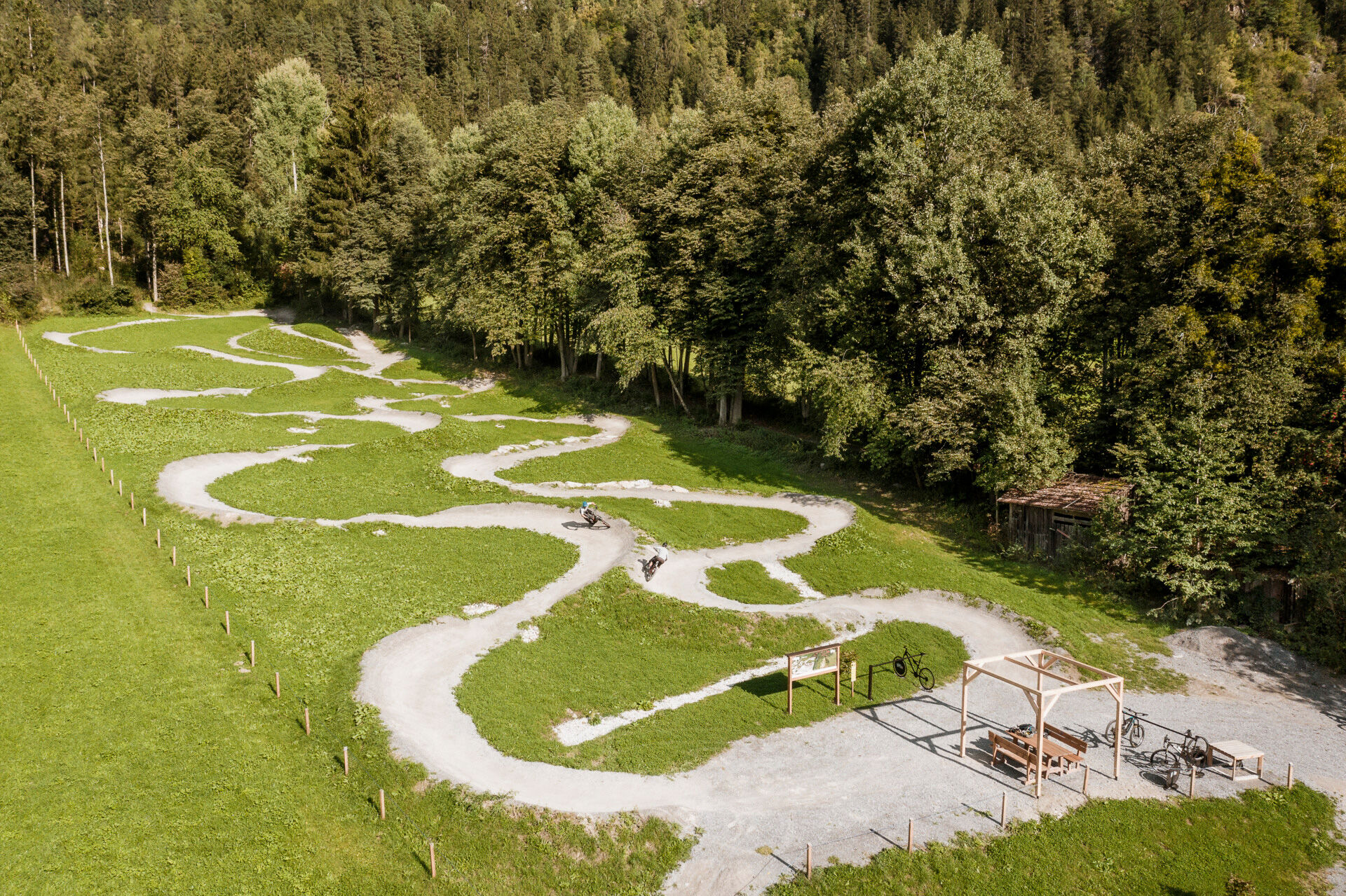
It is the first of its kind in Tyrol and equipped with an uphill flow: The new eBIKEPARK in Oetz consists of tracks of varying difficulty levels, allowing you to perfectly get used to e-biking. On the...
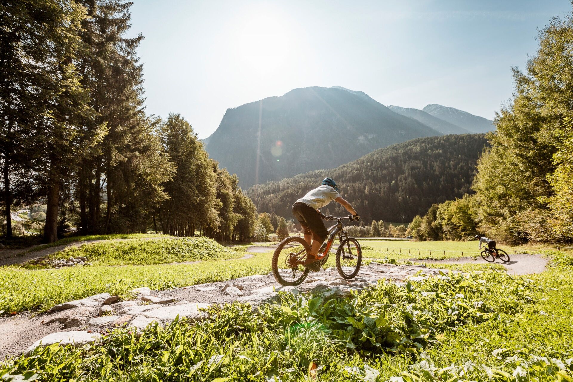
It is the first of its kind in Tyrol and equipped with an uphill flow: The new eBIKEPARK in Oetz consists of tracks of varying difficulty levels, allowing you to perfectly get used to e-biking. On the wave tracks and changing terrain, you develop a feel for the bike, its mechanics, and riding off-road. The course is 1.5 kilometers long and, similar to ski slopes in winter, beginners start on the easy blue track.
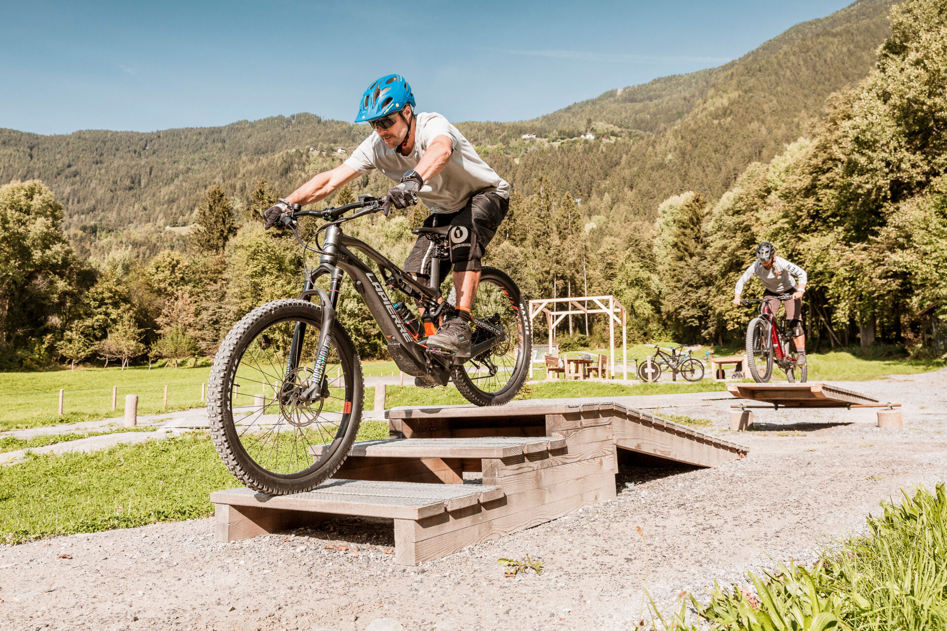
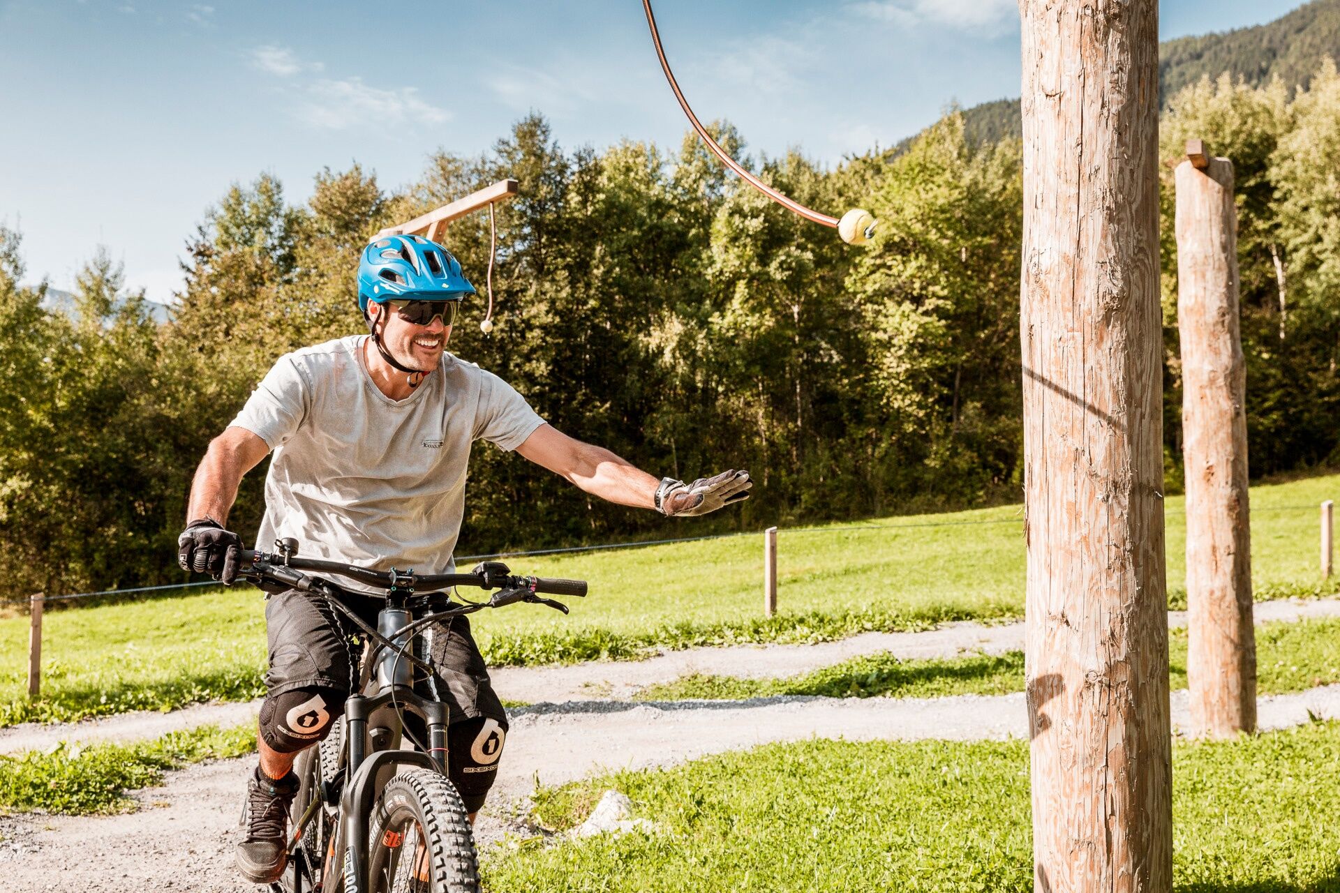
It’s about balance and skill, overcoming small obstacles, correct shifting, braking, and turning techniques, and not only about riding downhill but also uphill: The uphill flow trail through the forest demonstrates just how much fun it is to ride uphill with an eBike.


The eBIKEPARK can be found on the Ötztal cycle path at the valley station of the Acherkogelbahn Oetz. Next door is the adventure swimming pool and the Kids Park Oetz.
The bike bus stop is located next to the parking lot.
Driving to the ÖTZTAL. Located in Tyrol, the ÖTZTAL branches southwards as the longest side valley of the Eastern Alps. Traveling by car takes visitors via the Inn Valley to the entrance of the valley and then along the Ötztal. In addition to the toll motorway, country roads can also be used. With the route planner, your trip can be planned quickly and conveniently. To the route planner: www.google.at/maps
Travel comfortably and safely by train to the Ötztal station. The final stop or exit point is the ÖTZTAL train station. From there, you can conveniently and quickly travel through the entire valley to your desired destination using public bus lines or local taxi companies! The current bus schedule is available at: fahrplan.vvt.at
Parking lot at the Acherkogelbahn (paid)
More information about biking & cycling in the Ötztal: https://www.oetztal.com/biken
Oblíbené prohlídky v okolí
- 4.2
Hike Stuibenfall - Umhausen
světloTuristika 2.95 km - 4.6
Trip Tirol ➤ Hike to the Blue Grotto in Rosengarten Gorge Imst
středníTuristika 4.86 km - 4.4
Stuibenfall Umhausen circular hike
světloTuristika 9.32 km - 4.5
Oetz - Piburger See - Oetz
středníTuristika 7.16 km - 4.7
Summit route Faltegartenköpfl
středníTuristika 4.04 km - 4.1
Arzkasten - Lehnberghaus
světloTuristika 3.08 km - 4.6
Umhausen - Stuibenfall - Umhausen
středníTuristika 7.94 km - 4.5
Summit route Weather Cross from Hochoetz
středníTuristika 3.06 km - 4.7
Circular hike Bergmahderweg - Niederthai
světloTuristika 7.60 km - 4.8
lake Piburger See
světloTuristika 2.75 km
Pěší turistika a stopování


Nenechte si ujít nabídky a inspiraci pro vaši příští dovolenou
Vaše e-mailová adresa byl přidán do poštovního seznamu.