







Circular route - Schönblickweg - Harra

Úroveň obtížnosti: T1
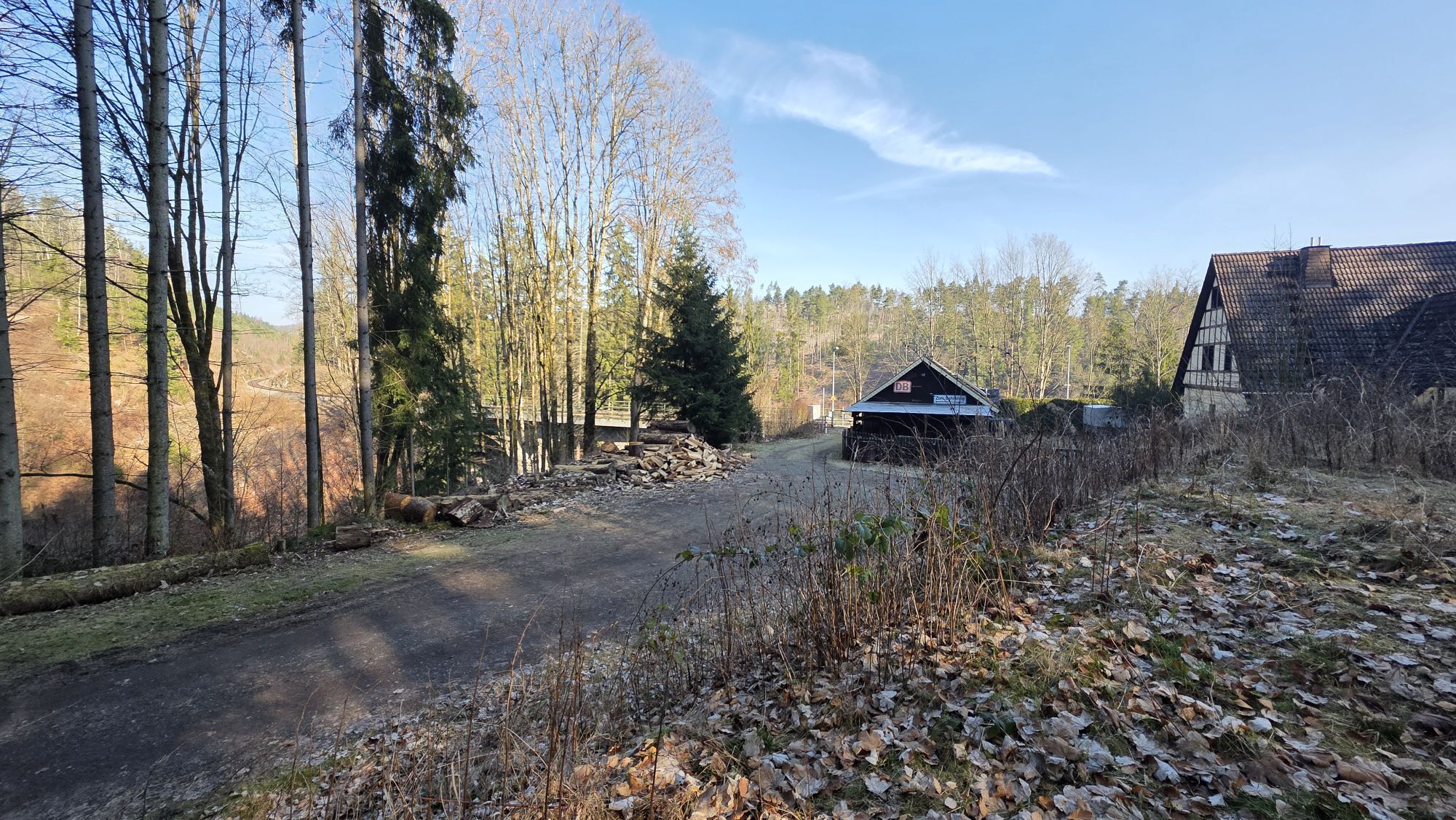
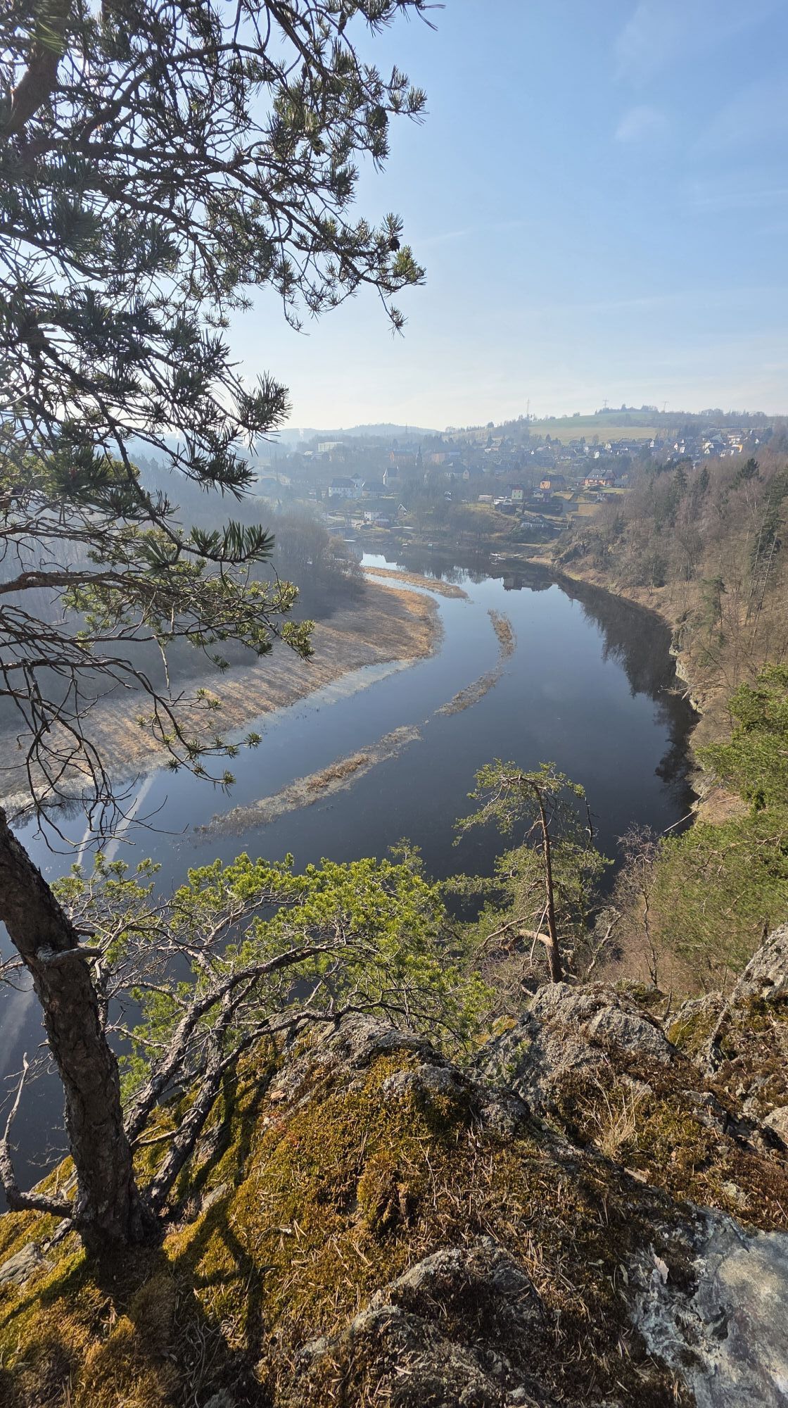
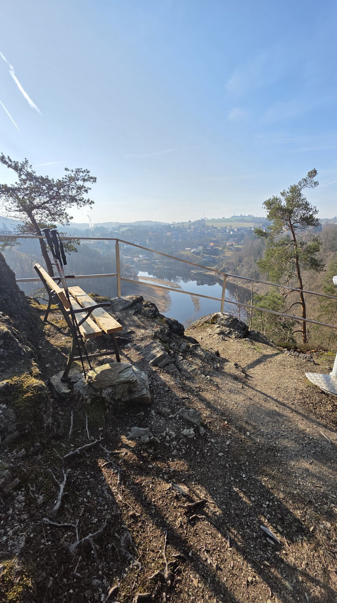
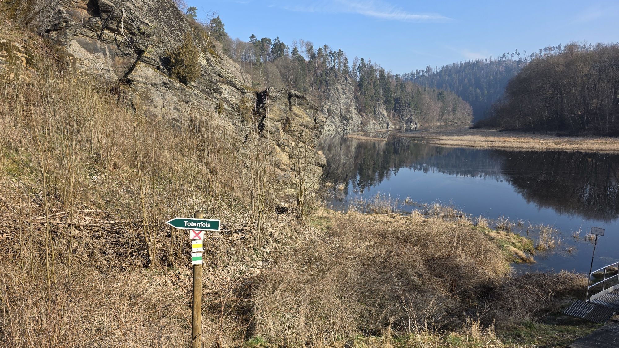
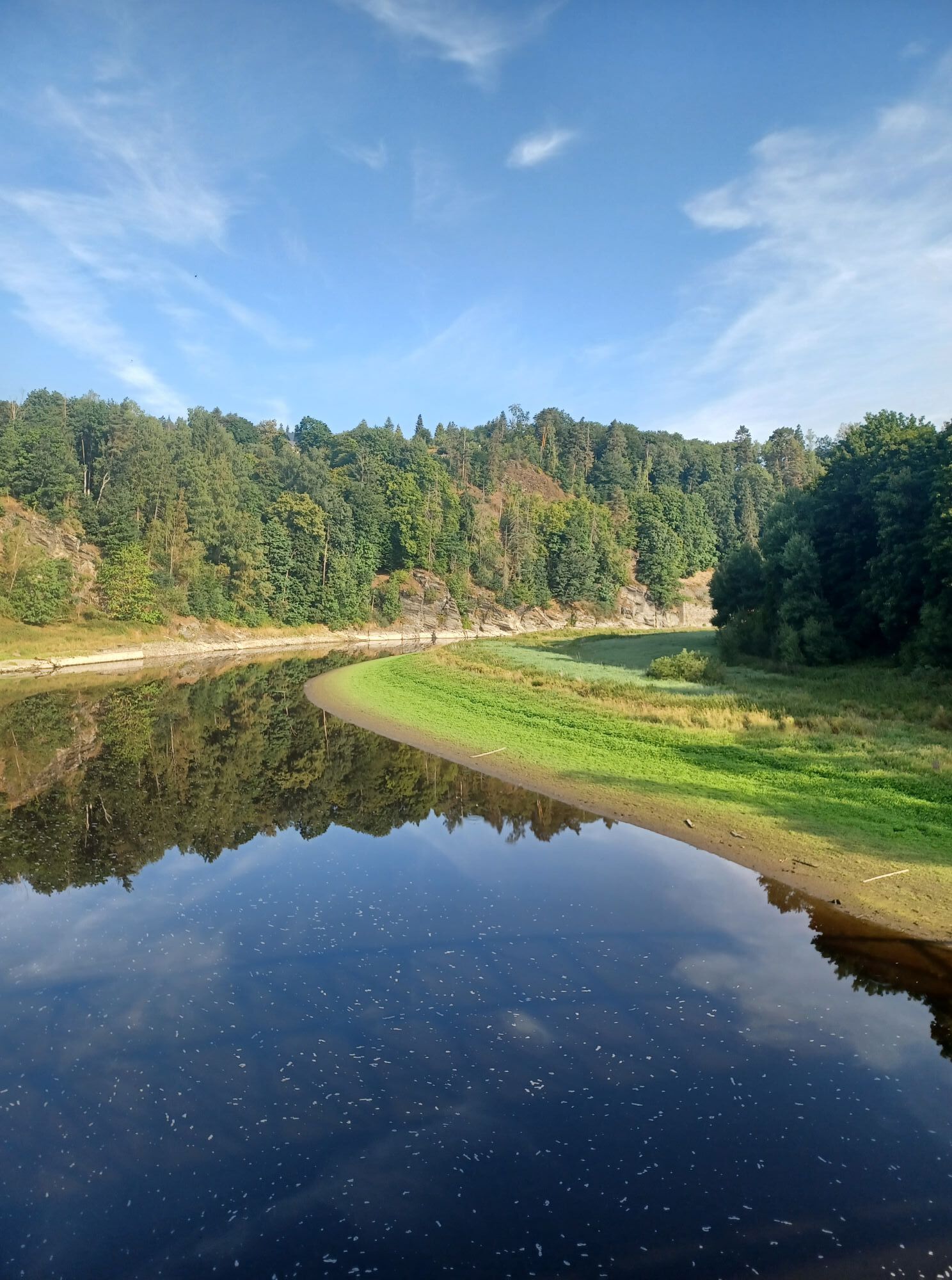
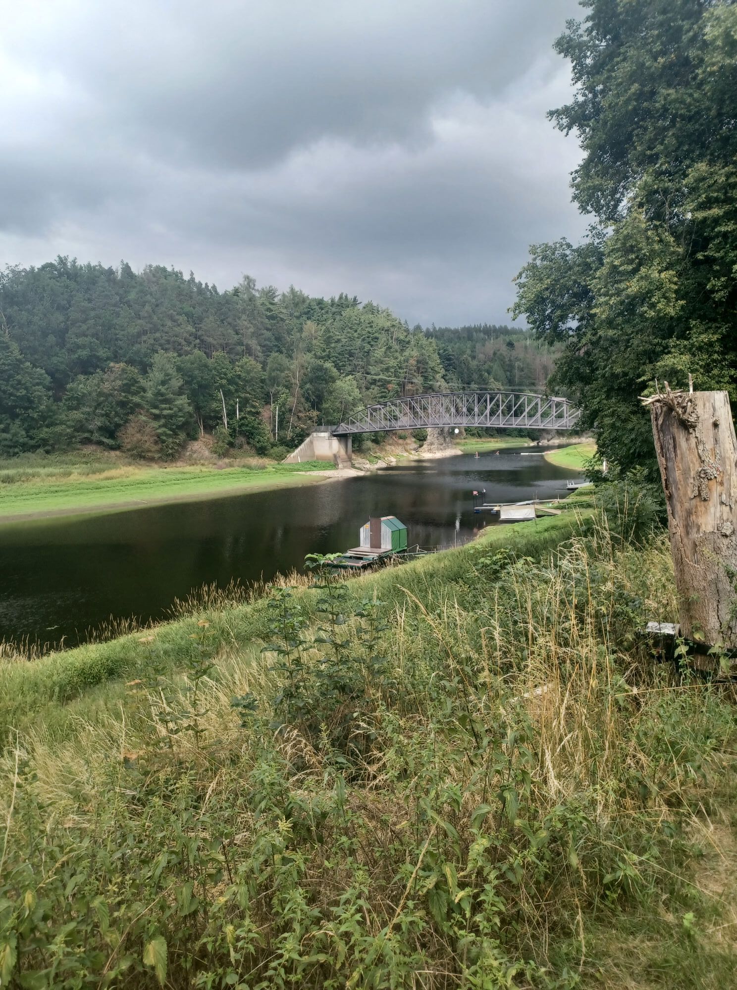
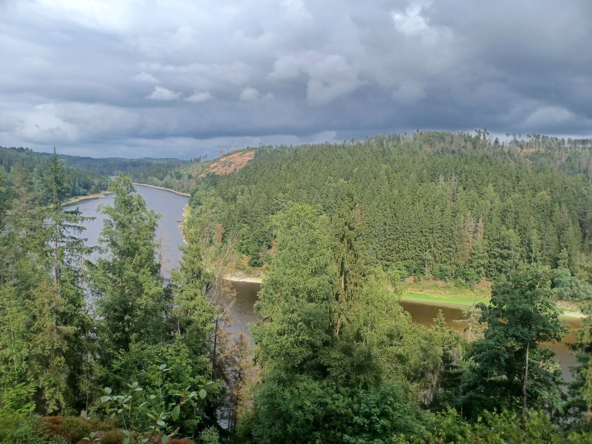
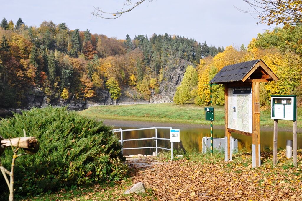
From the Saale bridge, we hike to the Marquard rock, a popular photo spot with the Totenfels in the background.
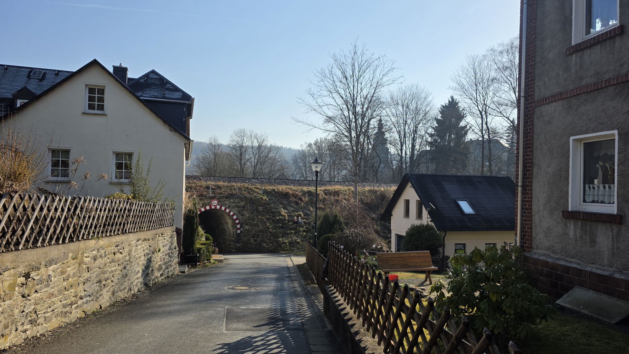
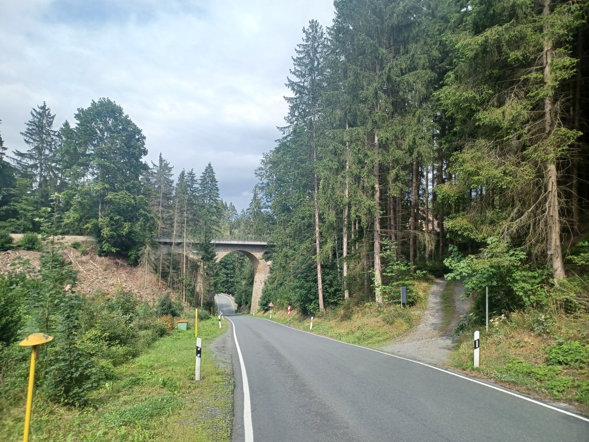
The path continues over a small bridge, under the railway line, and past gardens on the uphill...
From the Saale bridge, we hike to the Marquard rock, a popular photo spot with the Totenfels in the background.
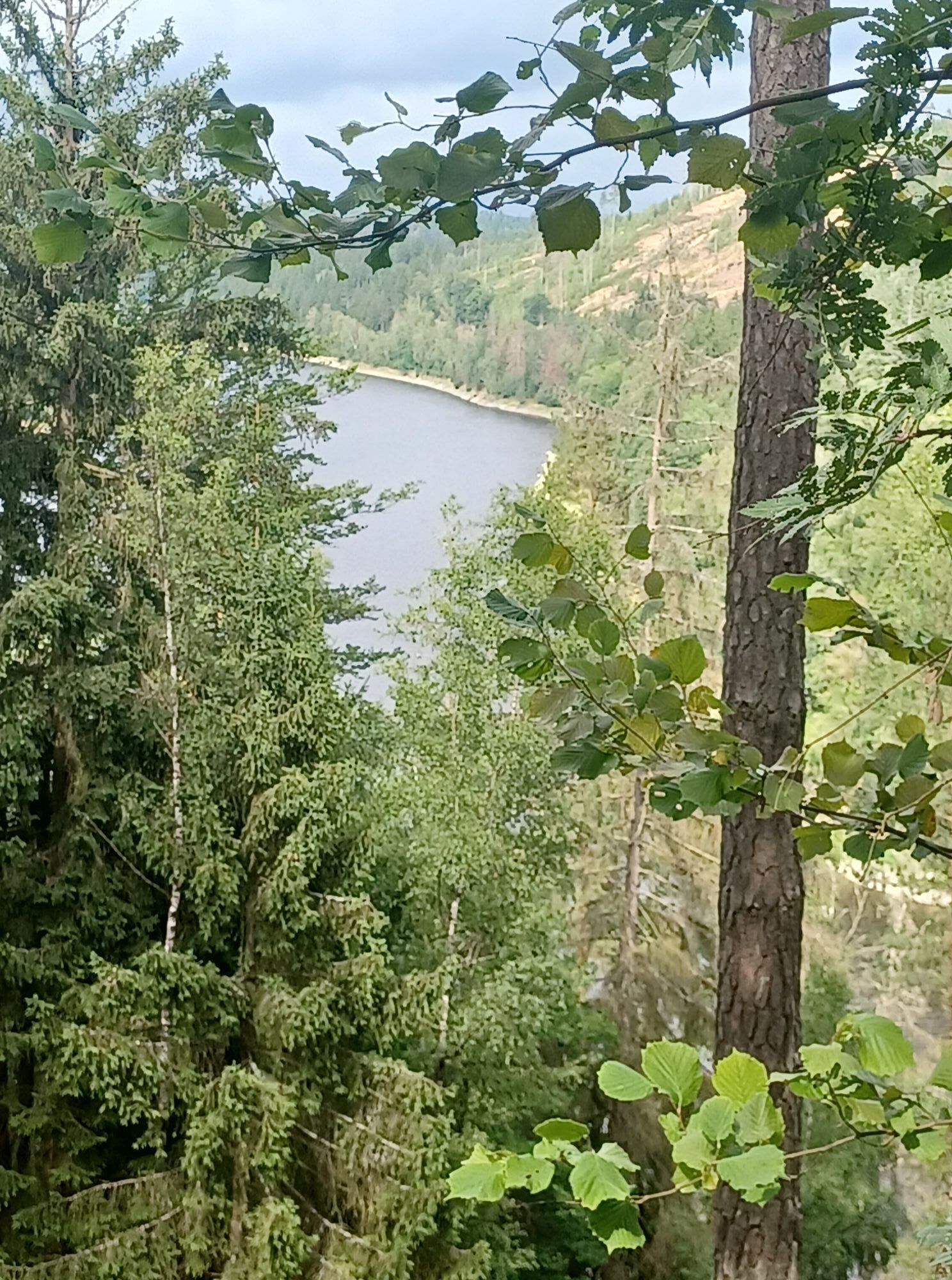
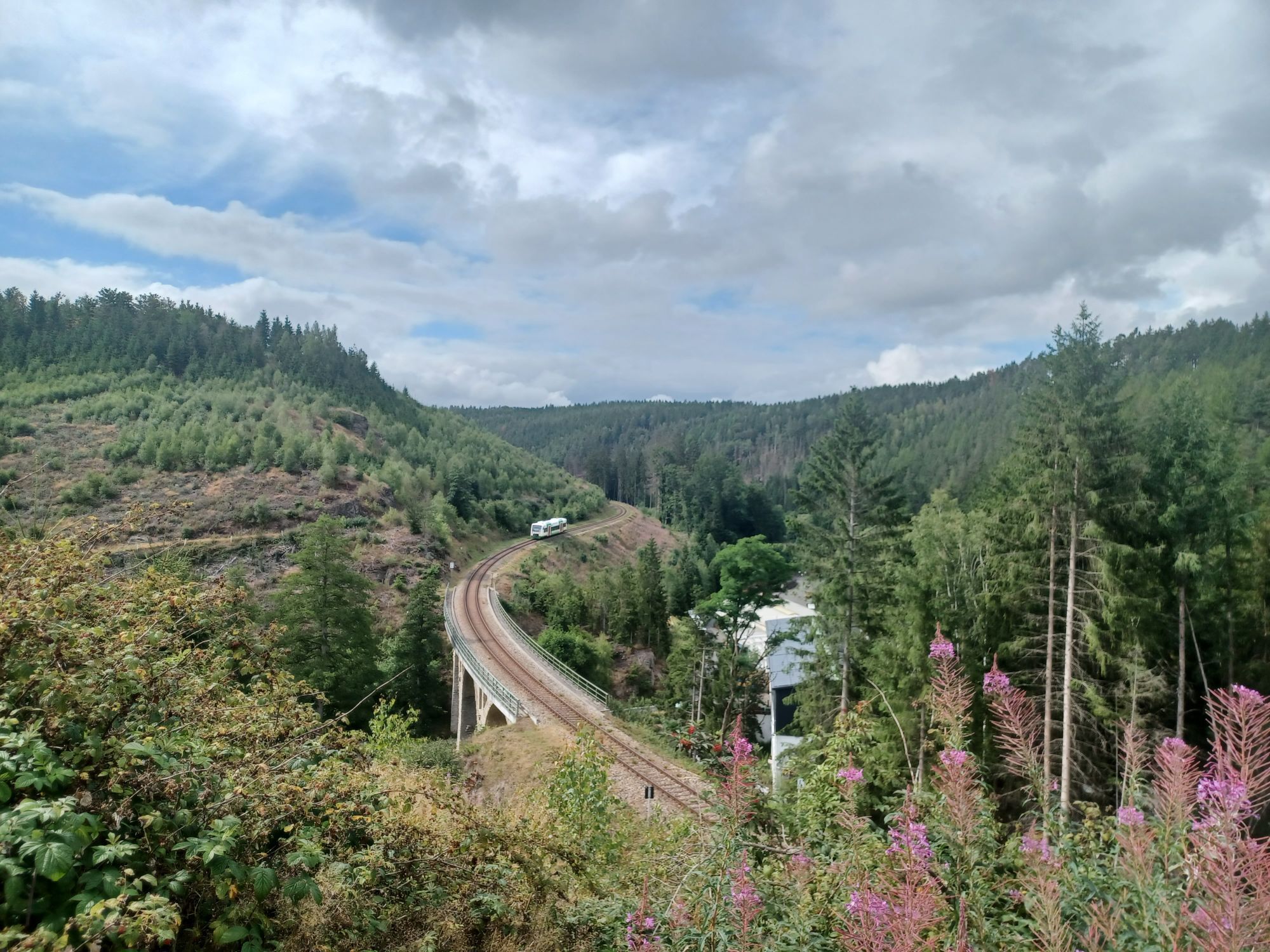
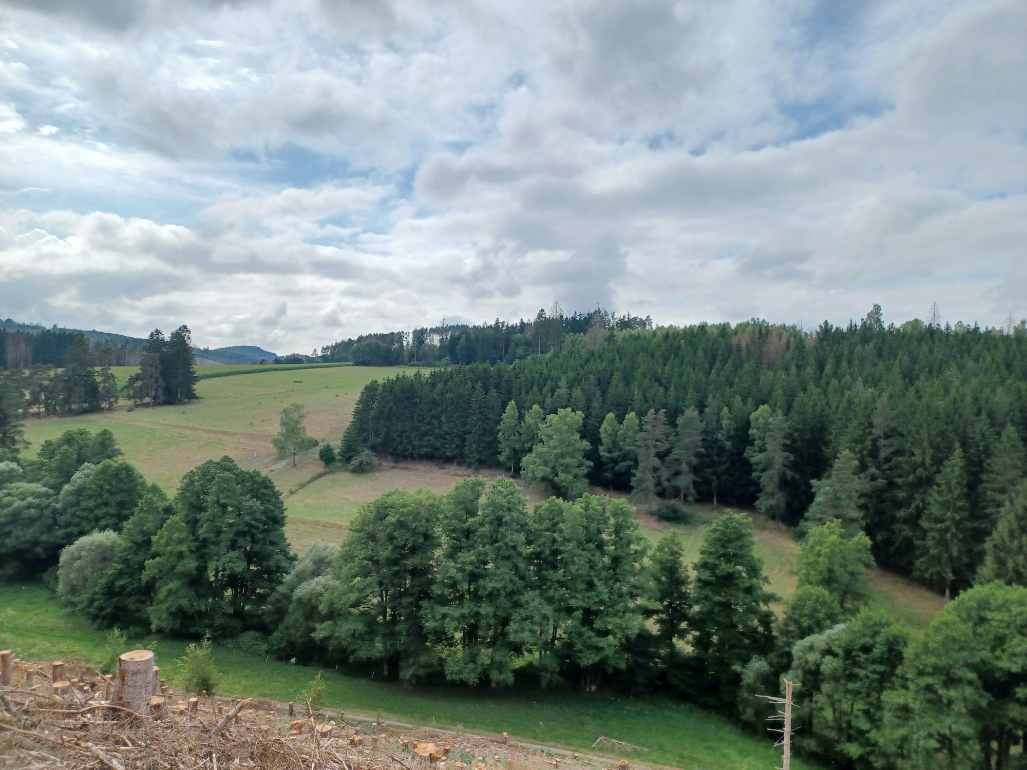
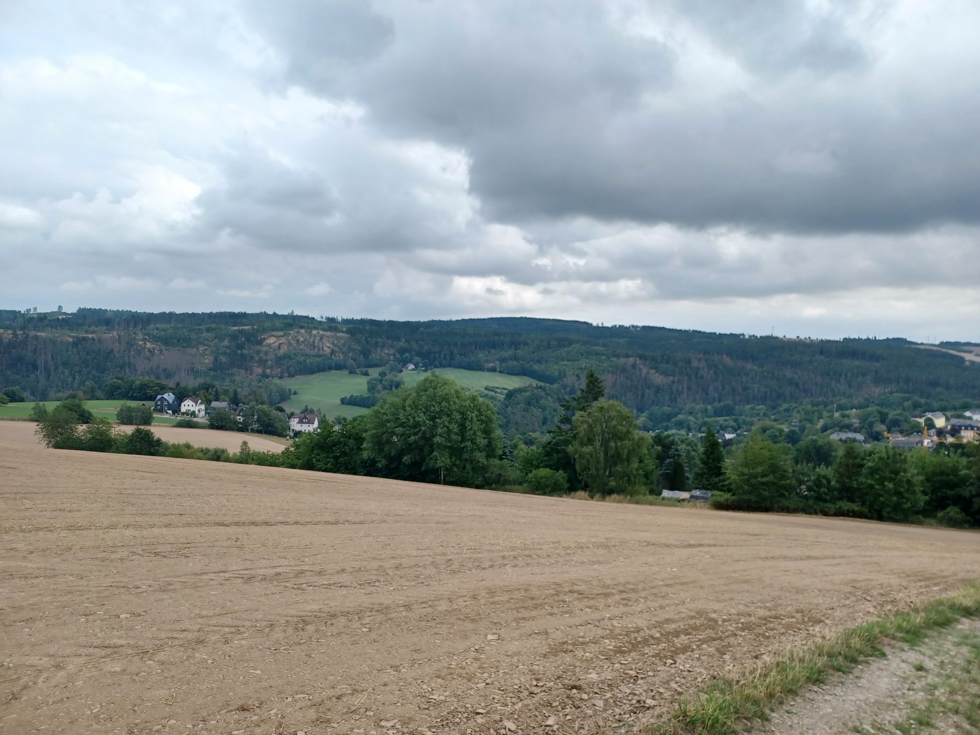
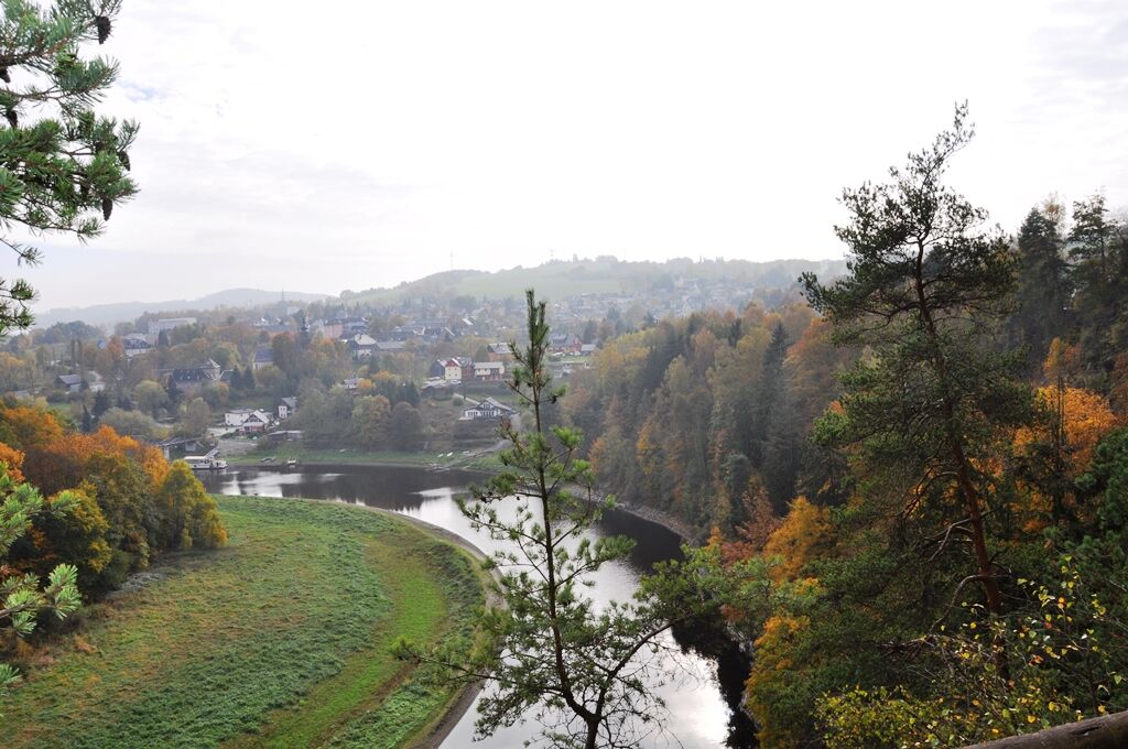
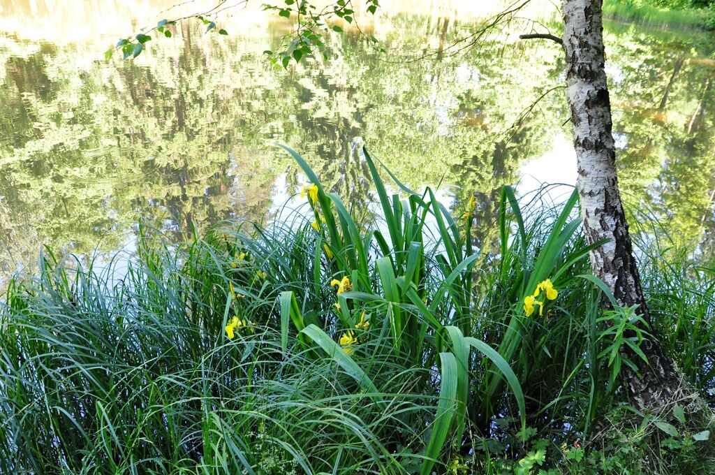
The path continues over a small bridge, under the railway line, and past gardens on the uphill side. We follow this path until the beautiful Totenfels viewpoint appears on the right. Here, you have the best views of the village of Harra and the Saale Valley with the Saale bridge. The hike leads us back past a small seating area over a large meadow towards Lemnitzhammer. We follow this path right by the railway line until just before Lemnitzhammer station, where there is a splendid view of the Saale bend towards Mühlberg with the viewpoints “Agnesruh” and “Marienstein.”
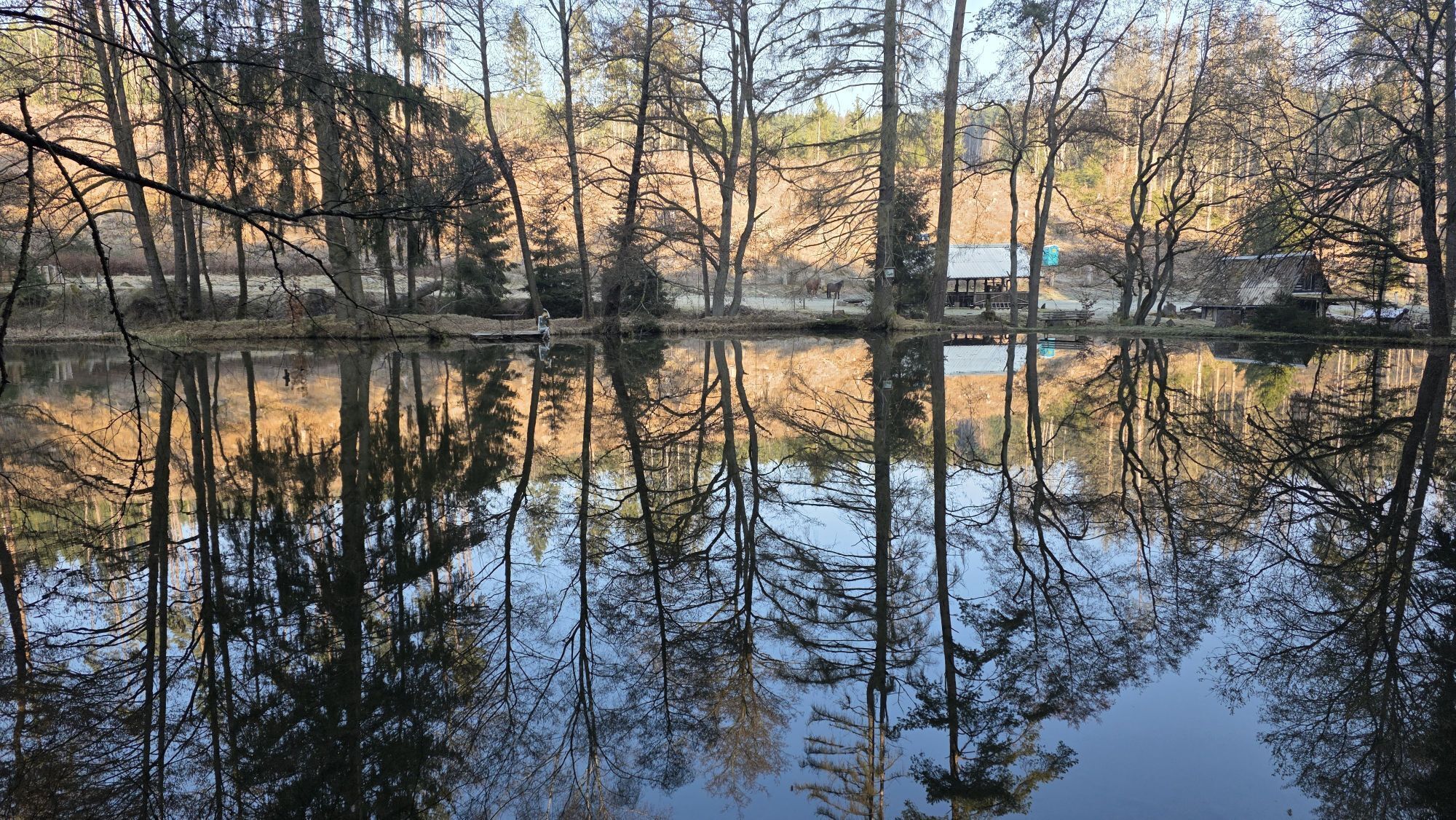
After Lemnitzhammer station, we walk a short distance uphill on the main road and then turn right after about 20 m onto a forest path. We follow this path for about 1.5 km, reach the valley path via the zigzag path on the right. On this path, we walk upstream past the “Freizeitzentrum” to the Sieglitz mill, also called Pempelmühle. The water-powered mill was still operational until the 1930s.
Then we continue left up a small incline over the forest crossroads until we reach a shelter. In front of us lies the Staudenwiese, two formerly farmsteads standing separately. Past the Staudenwiese, the path leads further to the highest point of our hike. At an old maple tree, we pause and enjoy the view of the Saale Valley, Harra, Blankenberg, and the Höllenthal.
Afterwards, we walk left along the field path, after about 400 m turn right onto the valley path. Passing the garden complex, we reach the village center after a few hundred meters and descend via Knollenweg to the starting point of our hike.



Ano
Ano
Sturdy footwear is highly recommended
Arrival is possible by bus and train, with the station about 400 m away.
Arrival is also possible by passenger ship from Saalburg/Saaldorf.
Restriction: Due to the lowering of the reservoir's water level, changes in the timetables may occur.
Free parking directly at the starting point.
Charging options for e-bikes
T1


Oblíbené prohlídky v okolí
-
4.0
Höllental über Hirschsprung und unten wieder zurück
středníTuristika 9.61 km -
4.8
Um die Ködeltalsperre
světloTuristika 12.2 km -
4.5
Hirschberg Primeval Forest Trail - Thuringian Primeval Forest Trails
světloTuristika 2.84 km -
5.0
Saalepfad - Circular hike at the Green Belt
heavyTuristika 34.8 km -
5.0
Von Saaldorf zum Marienstein
světloTuristika 9.41 km -
Hike - Rennsteig - Stage 8 - From Brennersgrün to Blankenstein
středníTuristika 20.8 km -
4.0
Rund um die BleilochTalsperre - Saalburg Beach und zurück
středníE-MTB 20.1 km -
Venzka - Hirschberg - Saalesteg - Venzka
středníTuristika 8.24 km -
Roßkunst Geopath - Harra
středníTuristika 6.23 km -
5.0
Marienstein in Saaldorf - circular hiking route - Bad Lobenstein
středníTuristika 5.67 km
Pěší turistika a stopování


Nenechte si ujít nabídky a inspiraci pro vaši příští dovolenou
Vaše e-mailová adresa byl přidán do poštovního seznamu.





