







Thuringian Primeval Forest Trails - "Primeval Forest Trail Jüchnitzgrund"
Úroveň obtížnosti: T1
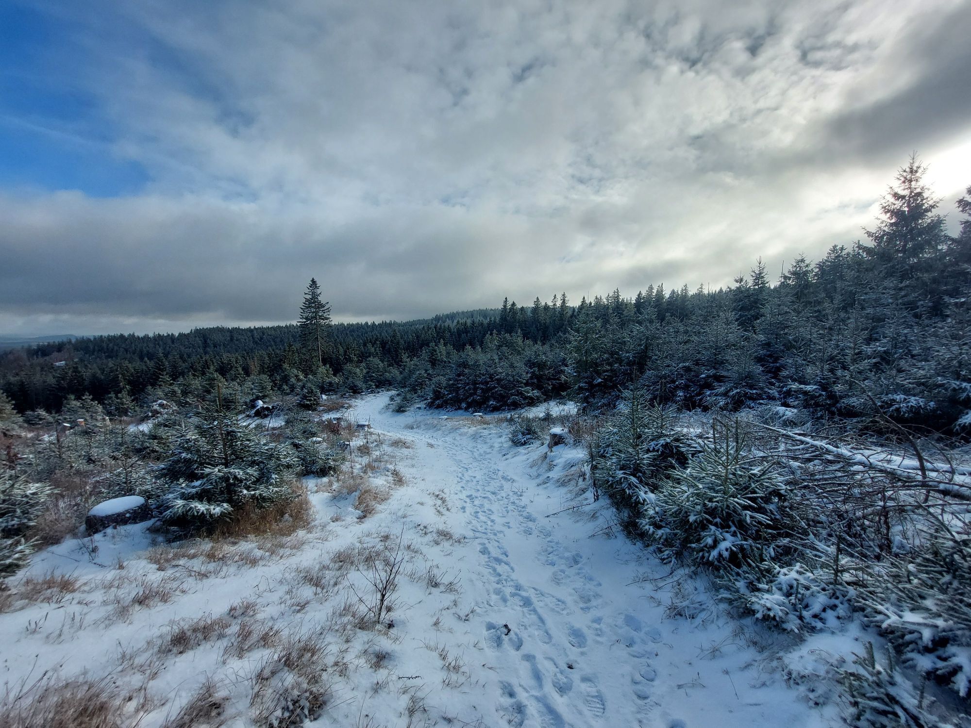
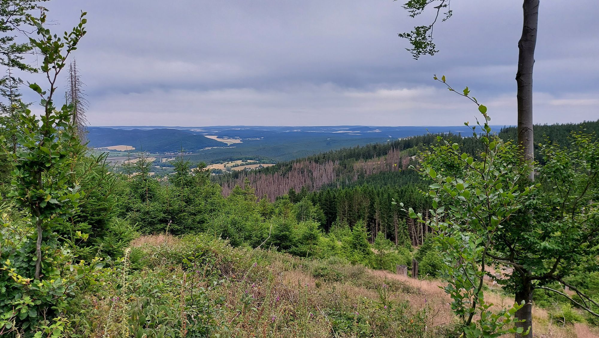
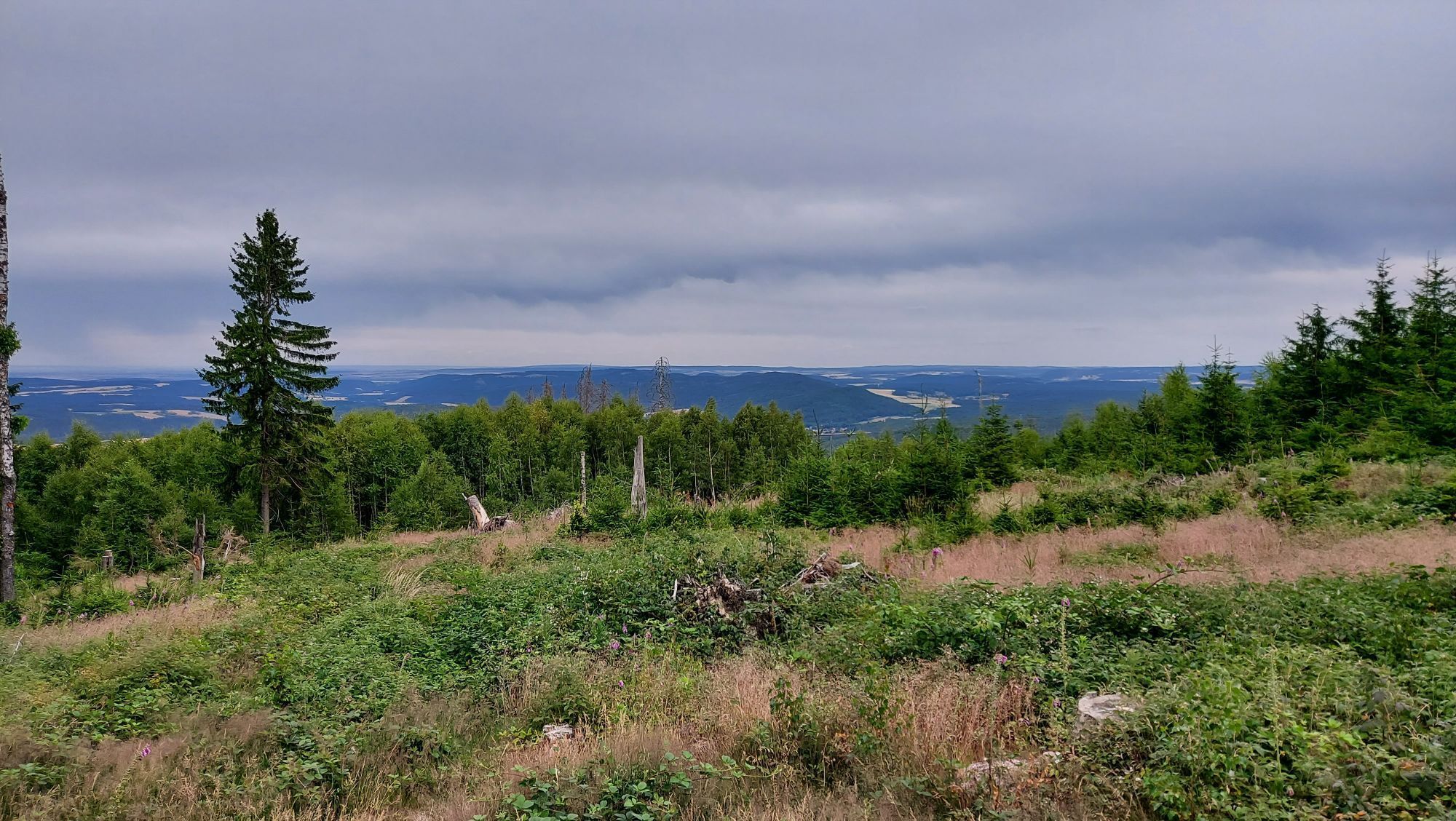
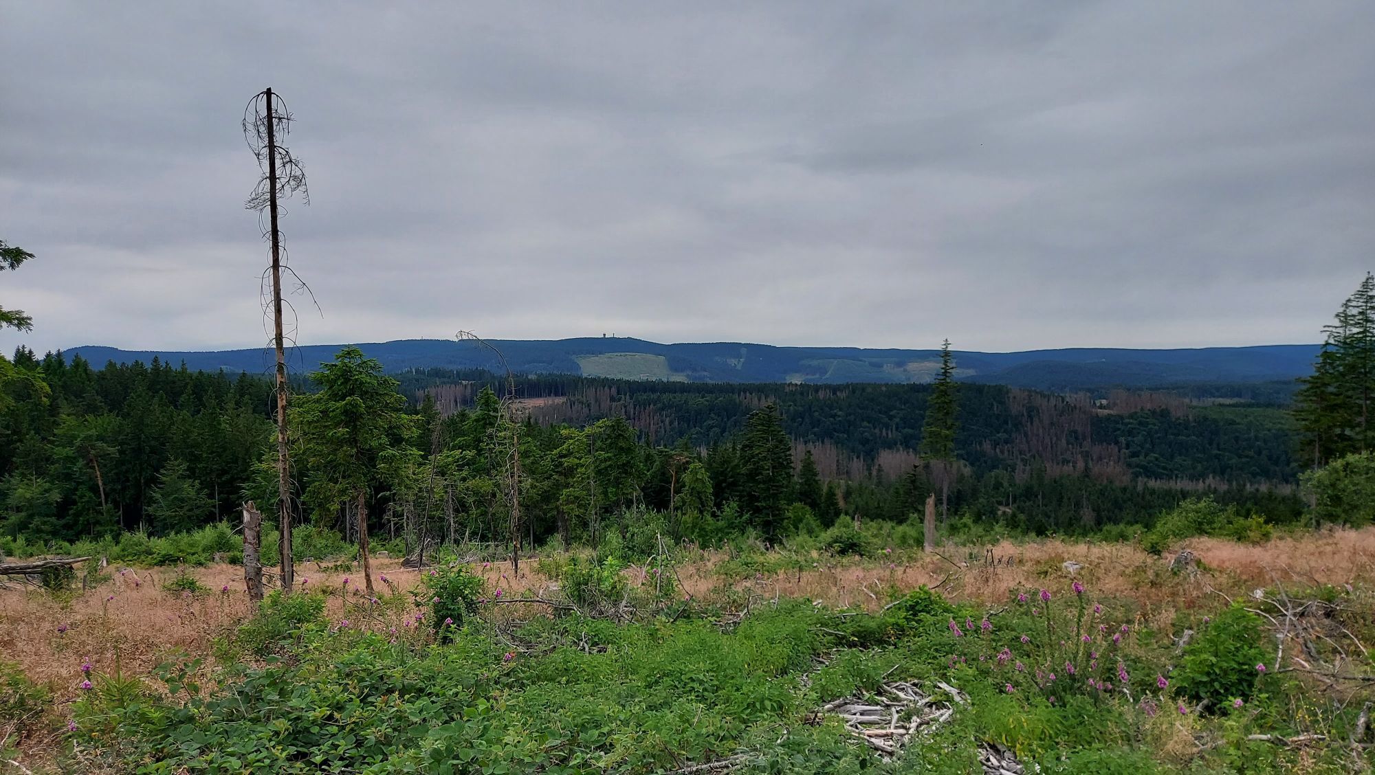
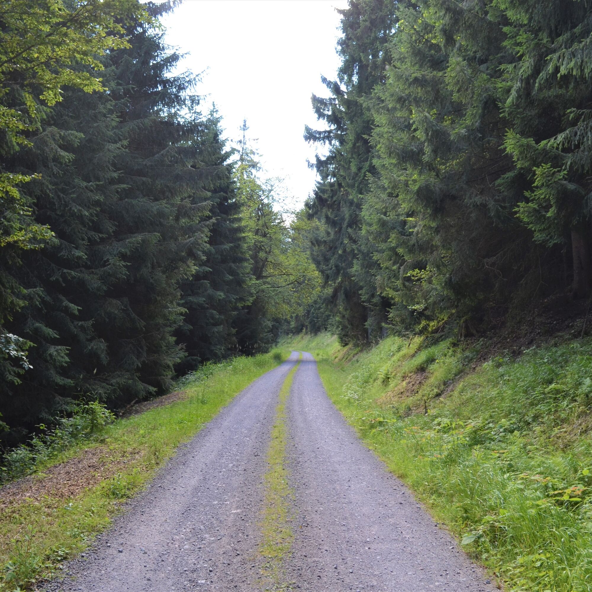
This hike predominantly follows wide forest roads and offers an interesting mix of nature and history. Along the Jüchnitz and the Wilde Gera rivers, some traces of former mining can be discovered. Interesting...
This hike predominantly follows wide forest roads and offers an interesting mix of nature and history. Along the Jüchnitz and the Wilde Gera rivers, some traces of former mining can be discovered. Interesting facts about climate and weather can be learned on a section of the Thuringian Climate Trail.
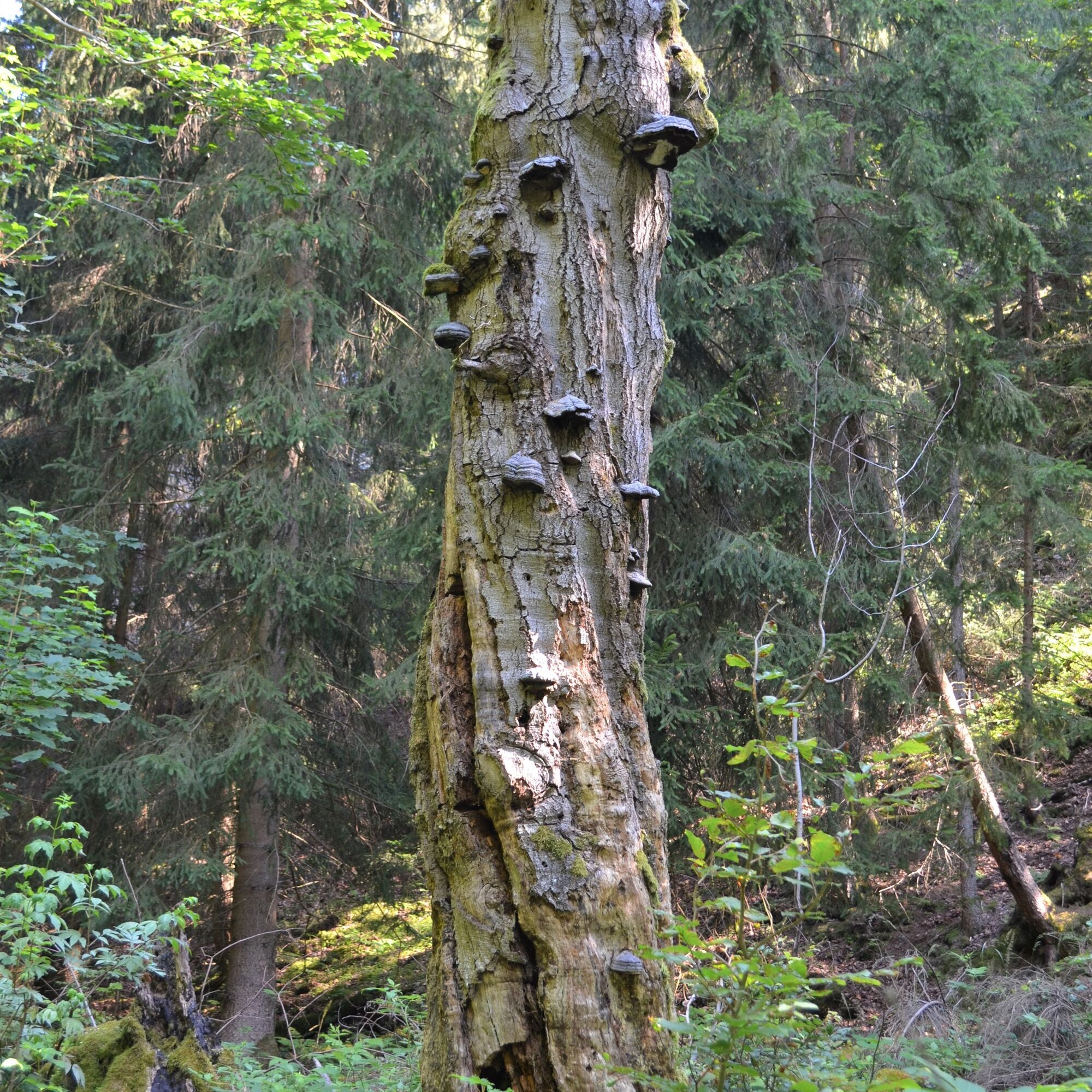
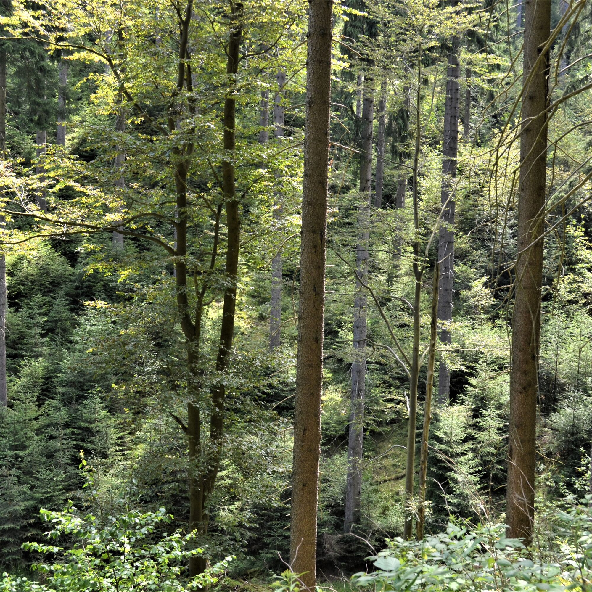
Due to former mining tradition, 90 percent of the forest stock consists of spruces. However, in the Jüchnitzgrund, one of the core zones of the UNESCO Biosphere Reserve Thuringian Forest, the forest is allowed to develop naturally. Here, beech trees are significantly more frequent, and individual silver firs can also be spotted.
This refuge is home to bat species such as the brown long-eared bat, the fringe bat, and the greater mouse-eared bat. Some rare bird species also thrive here, including the black woodpecker, the Eurasian pygmy owl, the pied flycatcher, and the wood pigeon.
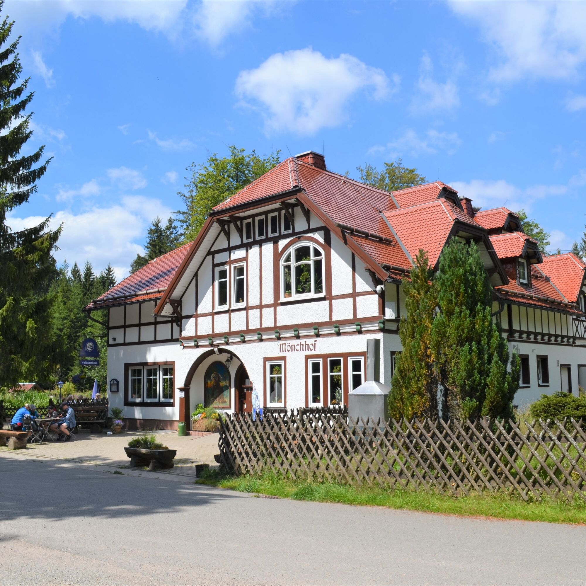
The idyllically located forest inn Mönchhof invites you to take a break.


Schullandheim Geraberg - Grüne Tanne - Location "Hauptgangzug" - Jüchnitzteich junction - Location "Eisenhohle" - Mönchhof - below Rumpelsberg - Hohe Warte - Salzmann's Place - Crossroads at Salzmannstraße - Weather divide information board - Climate trail - Location "Sandsteinbrecher" - Braunsteinmühle Geraberg - Jüchnitzpforte shelter - Schullandheim Geraberg
From the hiking parking lot at Schullandheim Geraberg, we start our hike heading south and follow the black-and-white beetle symbol along the path past the Schullandheim.
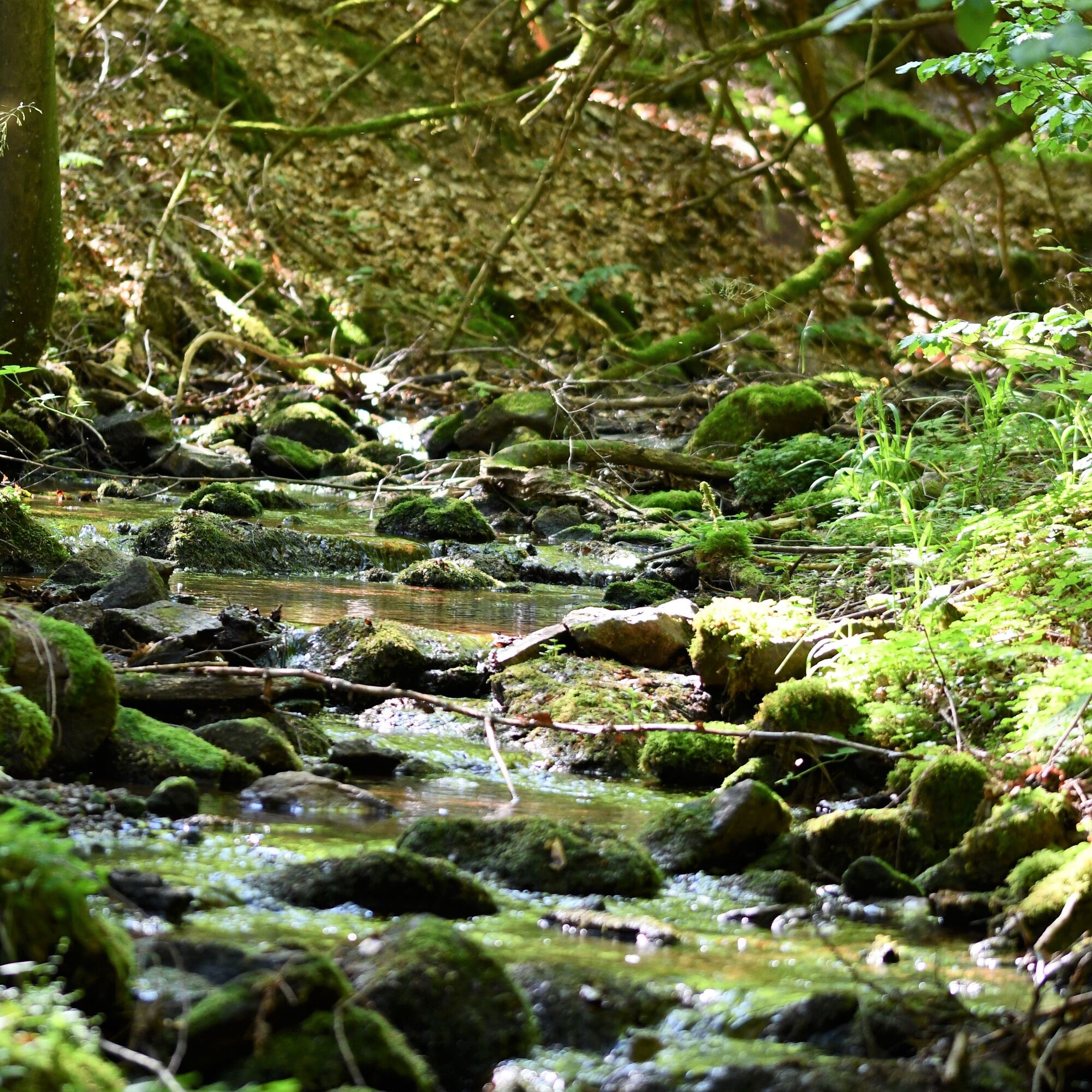
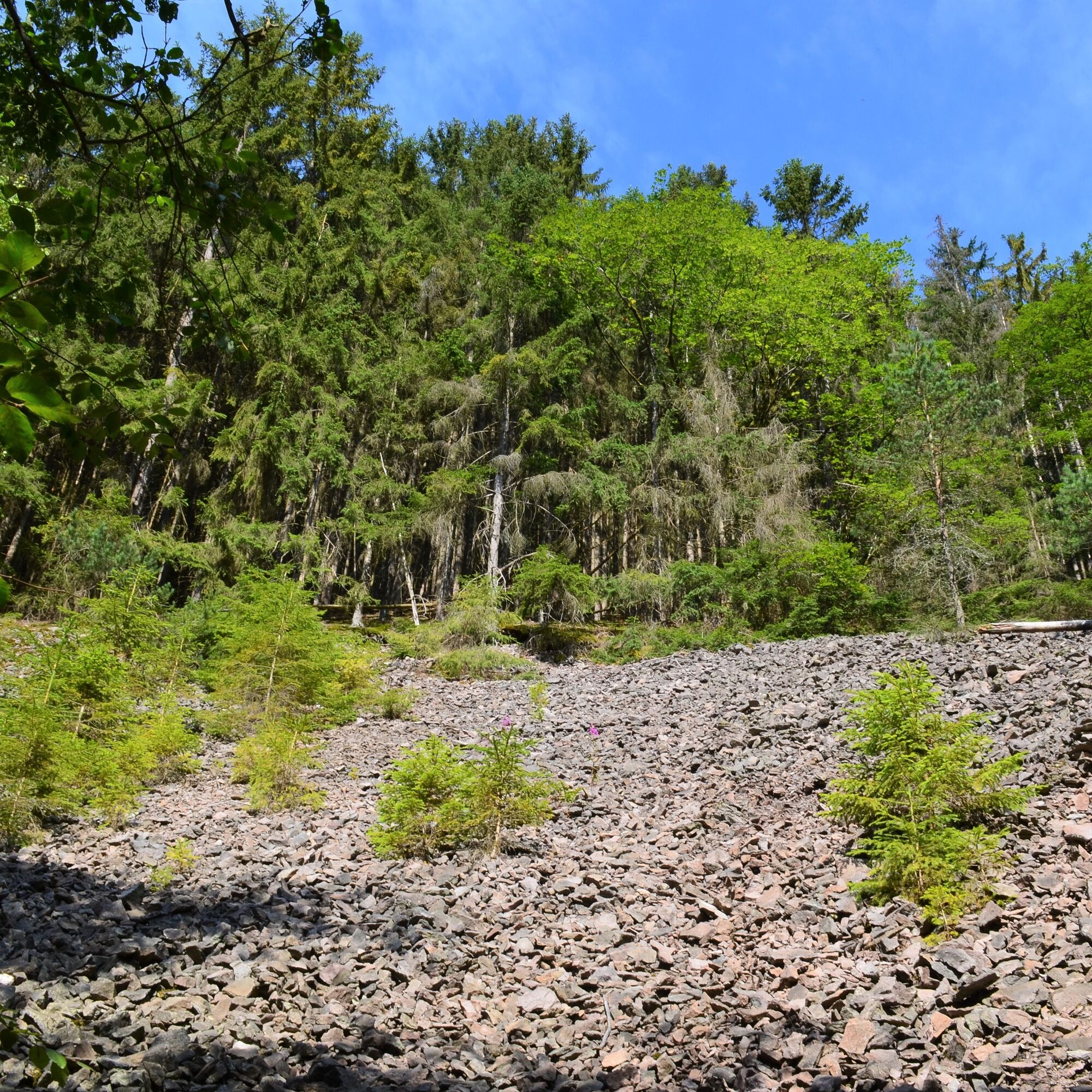
Following the gently babbling Jüchnitz upstream, which accompanies us on the way toward the forest inn Mönchhof, we can now let our gaze wander over the core zone of the biosphere reserve. The ascent through the Jüchnitzgrund is characterized by a varied mixed forest of beech, spruce, and fir. From time to time, rockfall deposits are visible through the trees.
After a few hundred meters, we reach two former mining sites and present-day memorials: the "Grüne Tanne" and the "Hauptgangzug" of the manganese ore veins on the Mittelberg.
Soon after, the Jüchnitzteich appears; a detour is possible via a steep downhill path or later on a broader, fairly level trail.
The forest road leading uphill passes by the Eisenhohle, another site of the former mining activities. In good weather, there is a great view from here of the Jüchnitz sparkling in the sun.
We continue heading south. At the next intersection, we follow the main hiking trail without turning and soon arrive at the forest inn Mönchhof.
This popular excursion destination lies on the historic Salzmannstraße, which runs from Elgersburg to Schmücke at the Rennsteig. Where the current inn stands, monks from the Ichtershausen monastery built a small chapel with outbuildings in the Middle Ages, from where the monastery forest was managed. The chapel and estate fell into ruin after the Reformation. From that time, the monk stones and the vaulted cellar have been preserved.
The stone opposite the forest inn dates from the 12th century. It shows Saint George as a relief with inscription. His left hand holds a triangular shield, while the right hand carries a lance. He also wears a chainmail reaching to the knees and a halo.
--> A legend about the monk can also be read in a display case.
--> see also www.waldgasthaus-moenchhof.de
After a stay, we follow the beetle symbol on the "Alte Straße" heading toward Hohe Warte. Following the paved forest road, we come to a large intersection. Following the signs, which already point to Hohe Warte, we leave the large forest road on the left into the forest, following the beetle symbol.
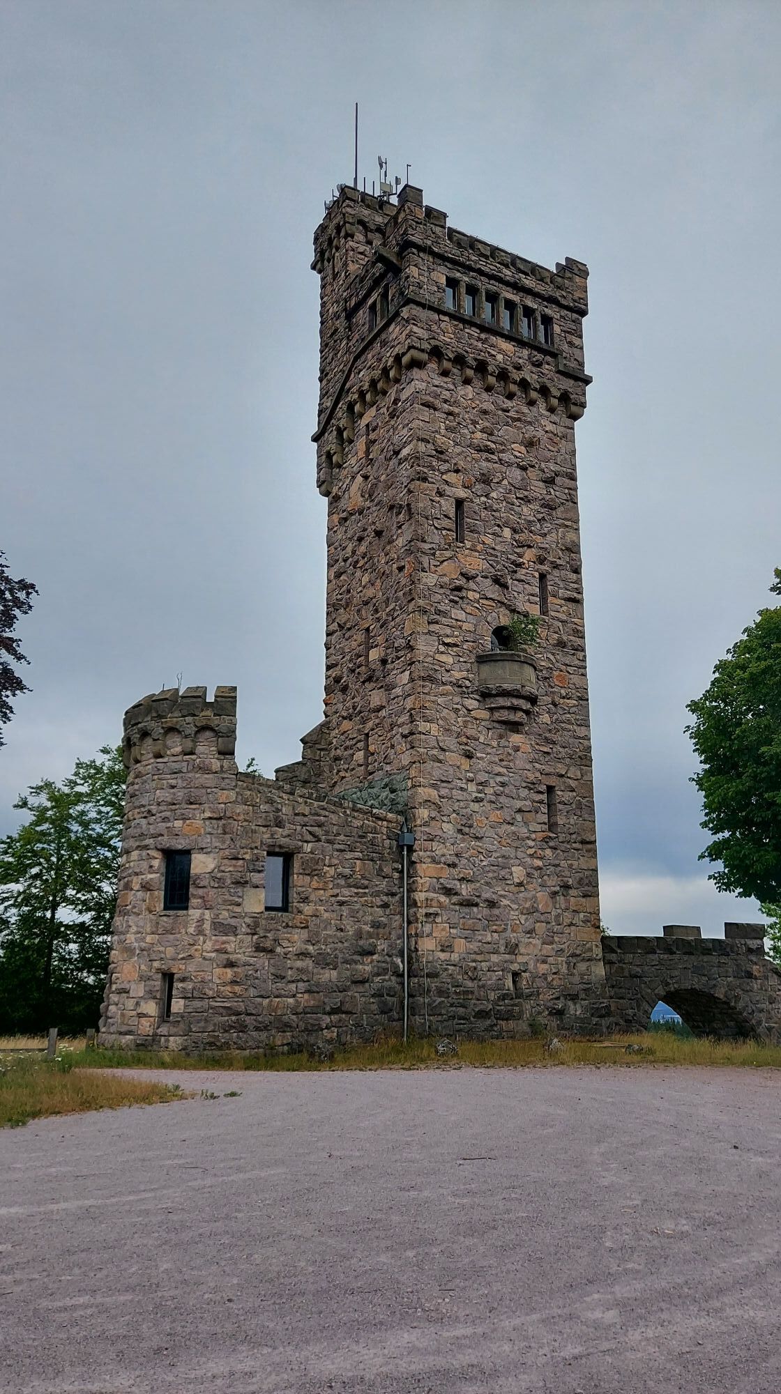
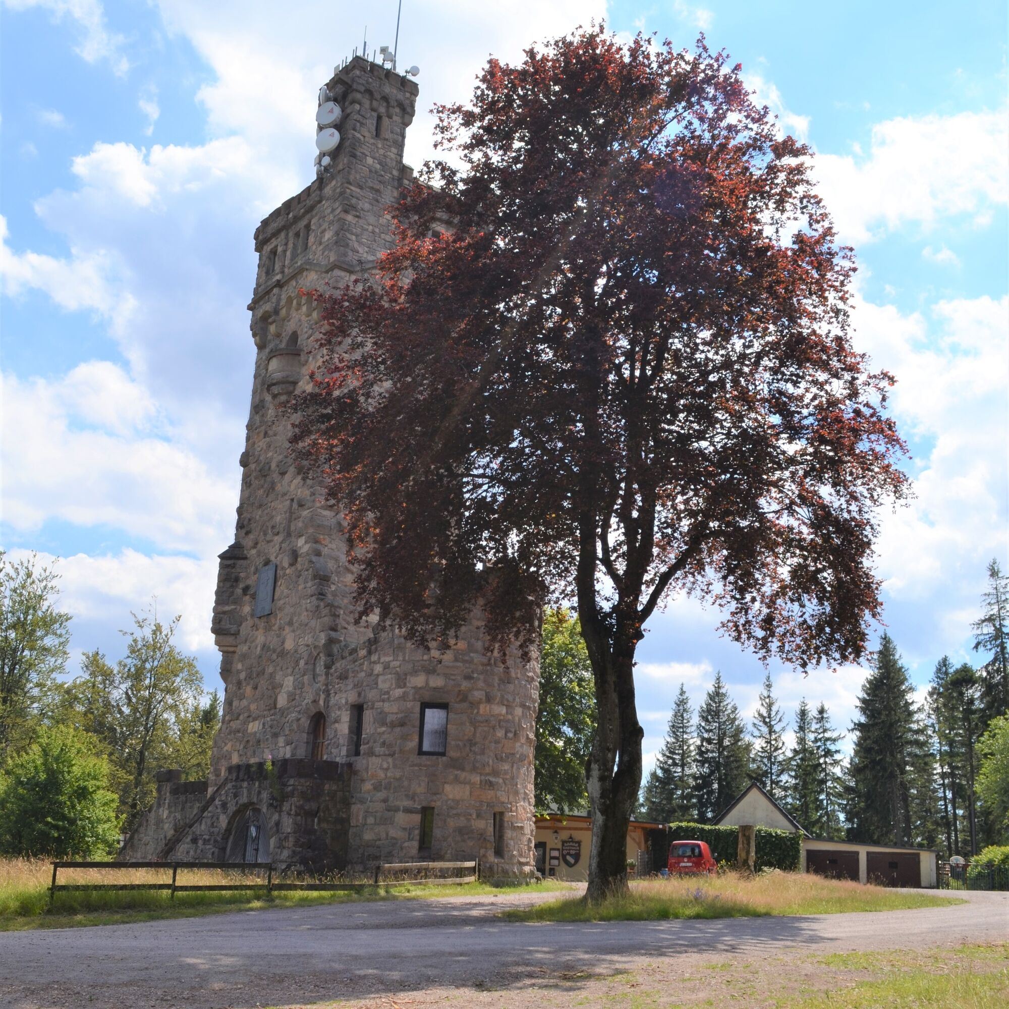
The Hohe Warte is located at 765 meters above sea level, nestled in the mountain massif of the Rumpelsberg. In the valley flow the Zahme Gera and the Jüchnitz. The Hohe Warte belongs to the municipality of Elgersburg, from where a paved road (Salzmannstraße) leads up the mountain. After two predecessor towers previously could not withstand the prevailing weather conditions and had to be demolished, the Carl-Eduard-Warte was finally inaugurated on the summit on August 27, 1911, on the initiative of the Elgersburg knighthood. The 33-meter-high observation tower (CURRENTLY CLOSED) offers a good view in clear weather to two prominent mountains of the Thuringian Forest, the Schneekopf near Gehlberg and the Großer Inselsberg. Furthermore, the view stretches to Oberhof and to the towns of Gotha and Erfurt. In the distance, the Ettersberg near Weimar is also visible. Besides the town of Ilmenau, the nearby places Geschwenda, Geraberg, Elgersburg with the motorway bridges "Zahme Gera" and "Reichenbachtal" can be seen.
The excursion inn "Hohe Warte", which also sells tickets for the tower climb, is CURRENTLY CLOSED.
The path now passes a radio tower through a small birch woodland down to Salzmann's Place. Following the paved road to the right, after a slight right curve we turn left at the signpost toward Schullandheim. At the next large junction, we follow the beetle symbol to the left turn through the Geraberg municipal forest in the direction of Kiefernleite.
The path soon becomes very steep and leads over a forest road through the Kiefernleite, partly along the parallel-running Climate Trail.
Arriving in Geraberg, we turn left onto the street until reaching the roundabout. At the roundabout, we turn left again and follow the beetle symbol on the paved path back up to the Schullandheim where we reach the starting point again.
Refreshment possibilities:
• Inn "Geratalklause"
• EDEKA market
• Döner "Antep Grill"
Overnight accommodations:
• Holiday park "Steintal Geraberg"
• Schullandheim Geraberg
• Apartment "Hammergasse"
Ano
Sturdy footwear, weatherproof clothing, and sufficient water
The descent from Hohe Warte via the Climate Trail is very steep in sections. Sufficient water and sturdy footwear are therefore recommended.
Geraberg lies on the A71 and can be reached via the Gräfenroda junction.
Geraberg lies on the Erfurt - Meiningen railway line and can be easily reached by train.
The Geraberg station (RB 46) is located in the town center. Additionally, several bus stops are conveniently close to the town center (Bus 301).
There is a free parking lot at Schullandheim Geraberg (suggested starting point).
Other parking options are available at Mühlencafé, the starting point for the Thuringian Climate Trail, at Hohe Warte, and at Mönchhof.
T1

Webové kamery z prohlídky
Získejte přehled
Vždy živě na místě s více než 9 500 webkamerami. bergfex Jako uživatel Pro si nyní můžete zobrazit odpovídající webové kamery pro mnoho prohlídek v aplikaci prohlídky z. Můžete si tak přímo prohlédnout aktuální podmínky.
Oblíbené prohlídky v okolí
-
4.3
Rund um die Ohratalsperre
světloTuristika 14.5 km -
4.4
Circular route - Around the Heyda Dam - Thuringian Forest
středníTuristika 7.59 km -
3.0
Circular hike - "4 ponds hike" Neustadt am Rennsteig - Thuringian Forest
heavyTuristika 12.6 km -
4.8
Circular hike - Schmalwasser reservoir - Tambach-Dietharz - Thuringian Forest
středníTuristika 13.8 km -
4.6
Hike over the Rennsteig & the Schneekopf to the Schmücke
heavyTuristika 21.0 km -
The Rennsteig - long-distance hiking trail from Hörschel to Blankenstein - Thuringian Forest
heavydálková pěší trasa 169.0 km -
4.0
Circular hiking route "Oberschönauer Felsenwanderung" - Steinbach-Hallenberg - Thuringian Forest
heavyTuristika 12.0 km -
4.0
Zu den Schanzen im Kanzlersgrund
středníTuristika 9.58 km -
Circular hiking route - Ruppberg - Thuringian Forest
středníTuristika 11.4 km -
4.2
Circular hiking route - "Zunft & Kloß" - Zella-Mehlis - Thuringian Forest
heavyTematická stezka 6.83 km
Pěší turistika a stopování


Nenechte si ujít nabídky a inspiraci pro vaši příští dovolenou
Vaše e-mailová adresa byl přidán do poštovního seznamu.





