







Circular hiking trail mdr Thuringia - panorama round - Floh-Seligenthal

Úroveň obtížnosti: T1
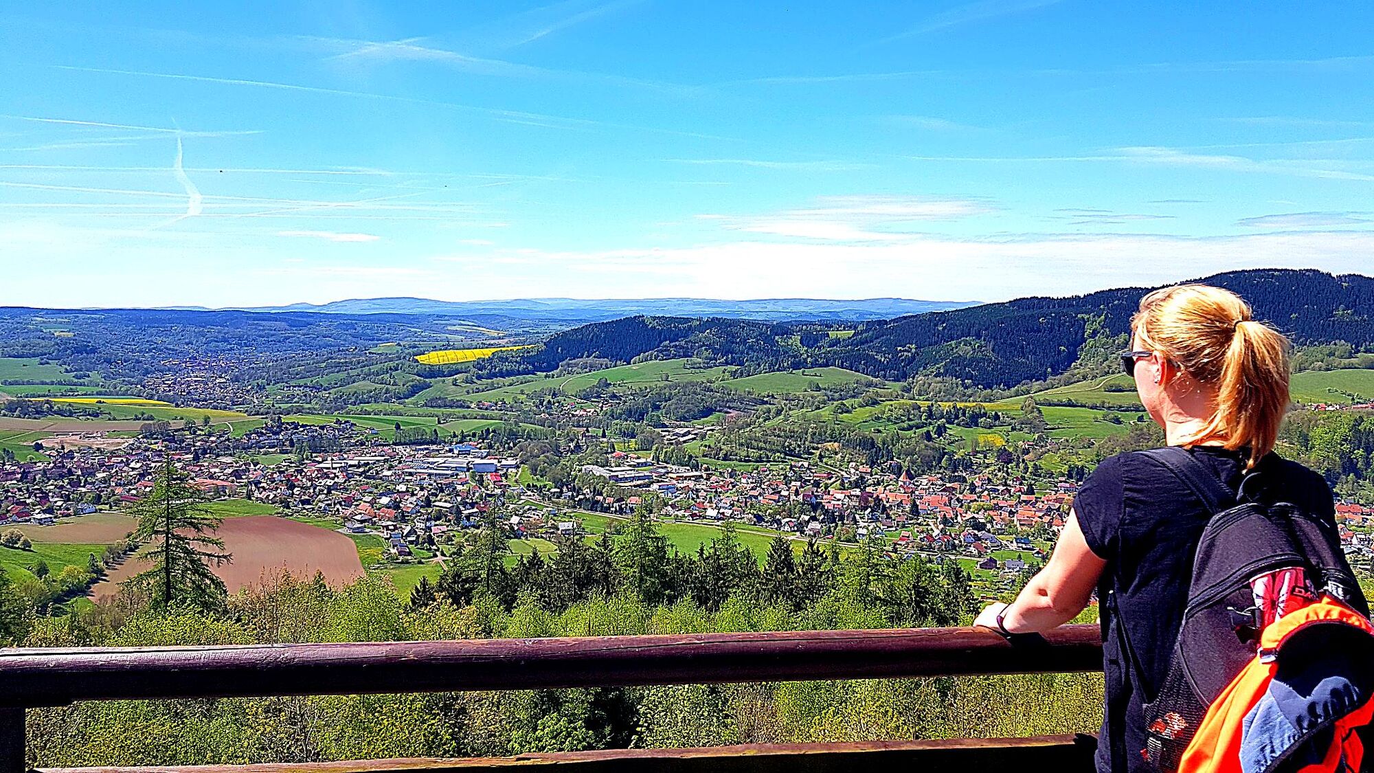
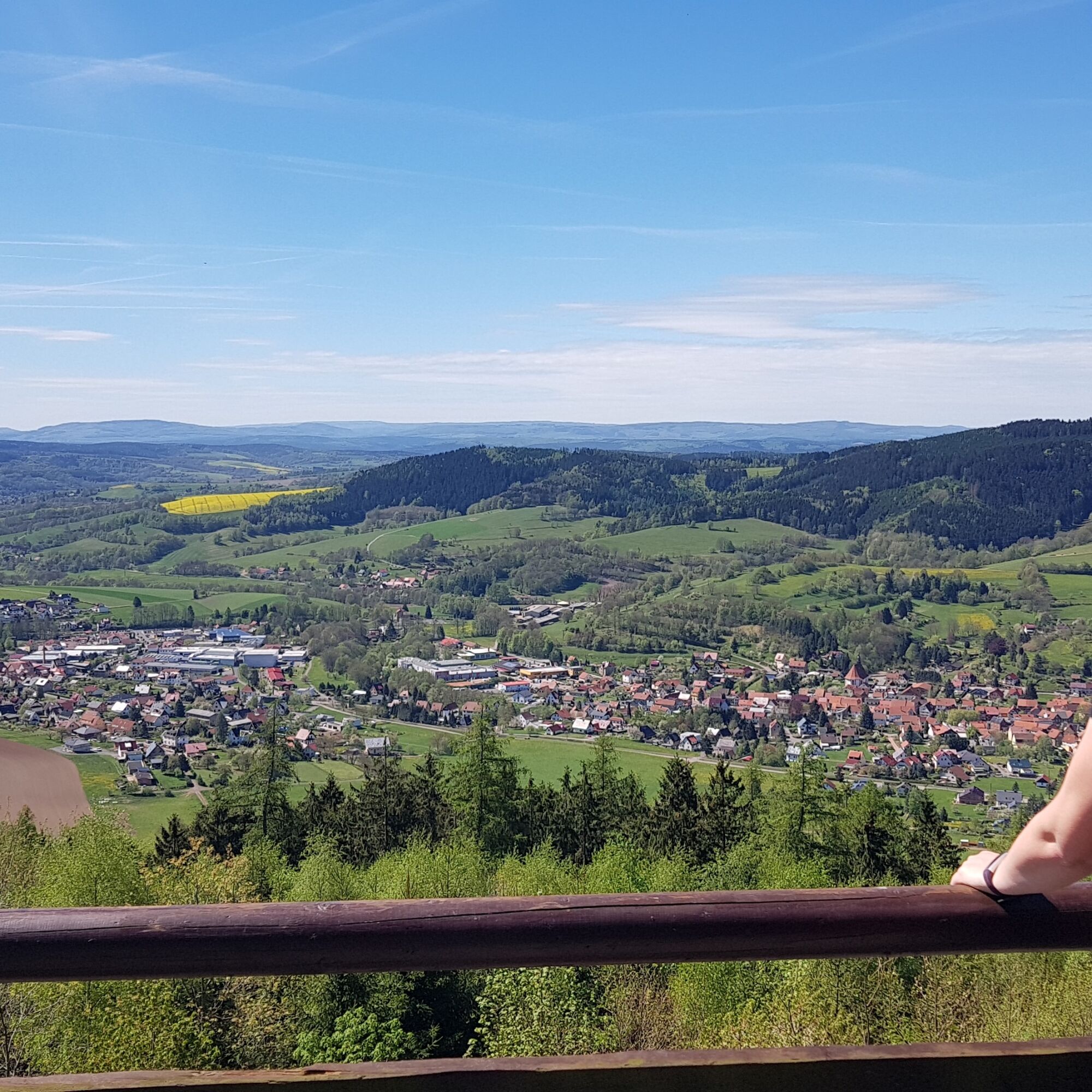
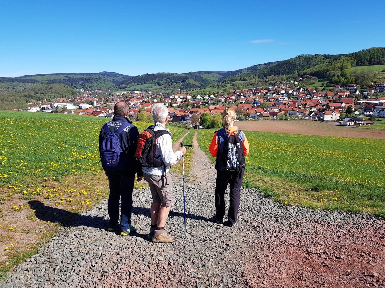
On this circular route you can view the districts of Floh & Schnellbach from all sides from above. Enjoy the beautiful panorama throughout the whole route.
The route starts at the municipal administration...
On this circular route you can view the districts of Floh & Schnellbach from all sides from above. Enjoy the beautiful panorama throughout the whole route.
The route starts at the municipal administration in the district of Floh. Heading south, it goes along Tambacher Straße and Asbacher Weg towards Herbstwiese to the antenna. Here you will find the first small climb and as a reward the first beautiful distant view over Floh-Seligenthal. Along the historic Lutherweg, you continue into the district of Schnellbach. With a short road crossing, you go from Schnellbach Church into Brunnengasse, past the game enclosure, onto the Thuringian Forest Trail.
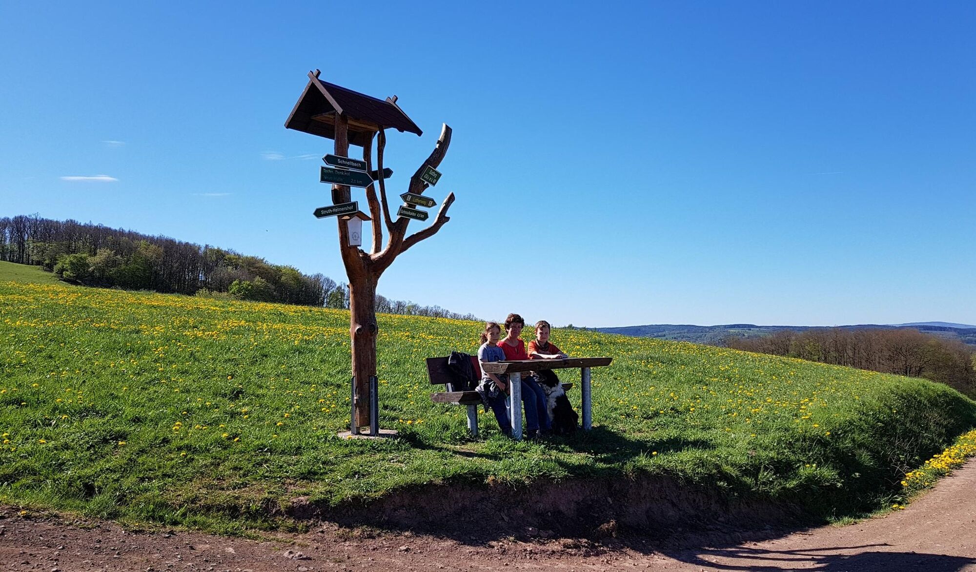
Here again, beautiful views invite you to pause and observe. Over the Thuringian Forest Trail, the route continues to the Buchborn parking lot. There, a seating area and a shelter invite you to rest. From here, you should definitely make a detour to the mountain lake at Ebertswiese. The path now leads only downhill to the Maßkopf shelter. From here you have probably the most beautiful and especially the widest view over Floh-Seligenthal to the domes of the Rhön. Take a short break and enjoy nature! From there, you descend via a switchback path through the dense Thuringian Forest. At the bottom, it is only about one kilometer to the starting point Hiking car park Floh "Place of German Unity"

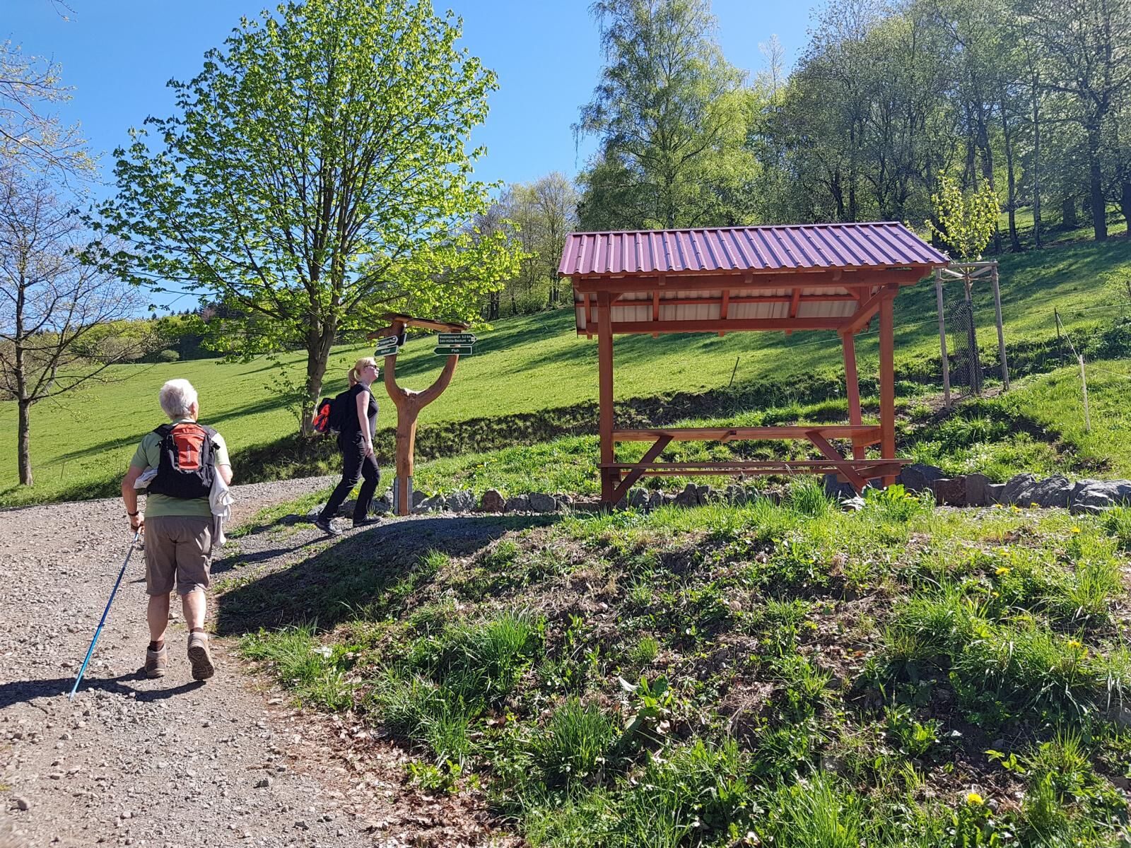
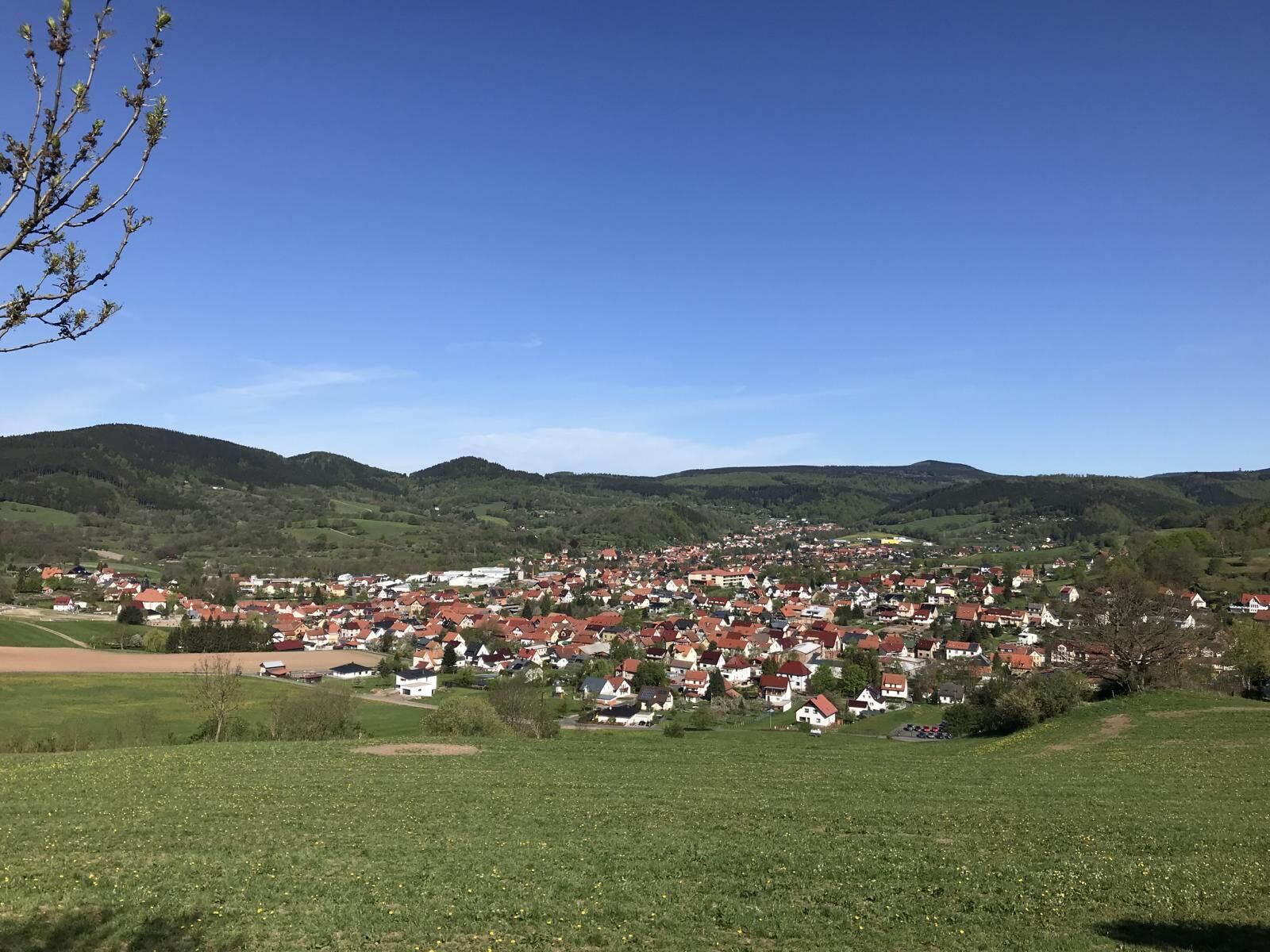
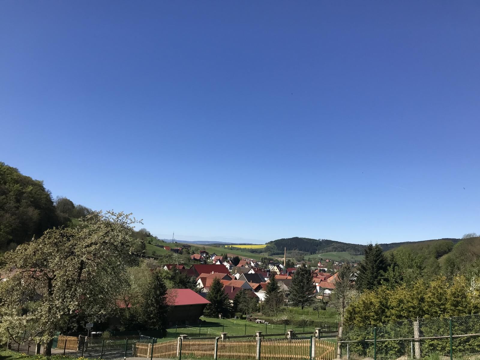


Hiking car park Floh "Place of German Unity" – Asbacher Weg – Antenna - Lutherweg – Schnellbach Church – Brunnenstraße – Game enclosure - Island – Thuringian Forest Trail – Buchborn – Maßkopf – Switchbacks – former forest inn Maßkopf – Hiking car park Floh "Place of German Unity"
sturdy footwear
weather-appropriate clothing
packed snacks are recommended
Please pay attention to the current trail conditions and weather-dependent situations.
Motorway exit Gotha-Boxberg via Schnepfenthal & Friedrichroda
Motorway exit Gotha via Georgenthal & Tambach-Dietharz
From the direction of Brotterode via the L1127
From the direction of Schmalkalden via the L1026
Bus stop directly at the starting point
Train station with connection to the bus station in Schmalkalden (starting point then reachable by bus in 15 minutes)Hiking car park "Place of German Unity"
Alternatively, you can also park at the "Buchborn" parking lot and start the route from there
T1
Tourist Information Floh-Seligenthal
Municipal administration House 1
Bahnhofstraße 4
98593 Floh-Seligenthal
Phone: 0 36 83 / 40 88 48
Keep an eye out along the way to see if you can discover which paths Luther once walked.


Oblíbené prohlídky v okolí
-
4.3
Rund um die Ohratalsperre
světloTuristika 14.5 km -
4.6
Summit and panoramic route - Route 1 - Bad Tabarz
středníTuristika 10.9 km -
4.4
Circular hike "Old Tambach Dam", Tambach-D., Thuringian Forest
středníTuristika 8.33 km -
3.8
Wanderung zum Spitterfall
středníTuristika 14.6 km -
4.8
Circular hike - Schmalwasser reservoir - Tambach-Dietharz - Thuringian Forest
středníTuristika 13.8 km -
4.0
Circular hiking route "Oberschönauer Felsenwanderung" - Steinbach-Hallenberg - Thuringian Forest
heavyTuristika 12.0 km -
Tabarzer Vulkansteig
středníTuristika 9.91 km -
4.4
Circular hiking trail - "Trusetal Landmark Route" - Thuringian Forest
světloTuristika 4.02 km -
4.8
Inselsberg tour - Tour 2 - Bad Tabarz
heavyTuristika 15.1 km -
4.0
Zu den Schanzen im Kanzlersgrund
středníTuristika 9.58 km
Pěší turistika a stopování


Nenechte si ujít nabídky a inspiraci pro vaši příští dovolenou
Vaše e-mailová adresa byl přidán do poštovního seznamu.





