


Circular route - "Arnsberg" Steinbach-Hallenberg - Thuringian Forest
Úroveň obtížnosti: T1
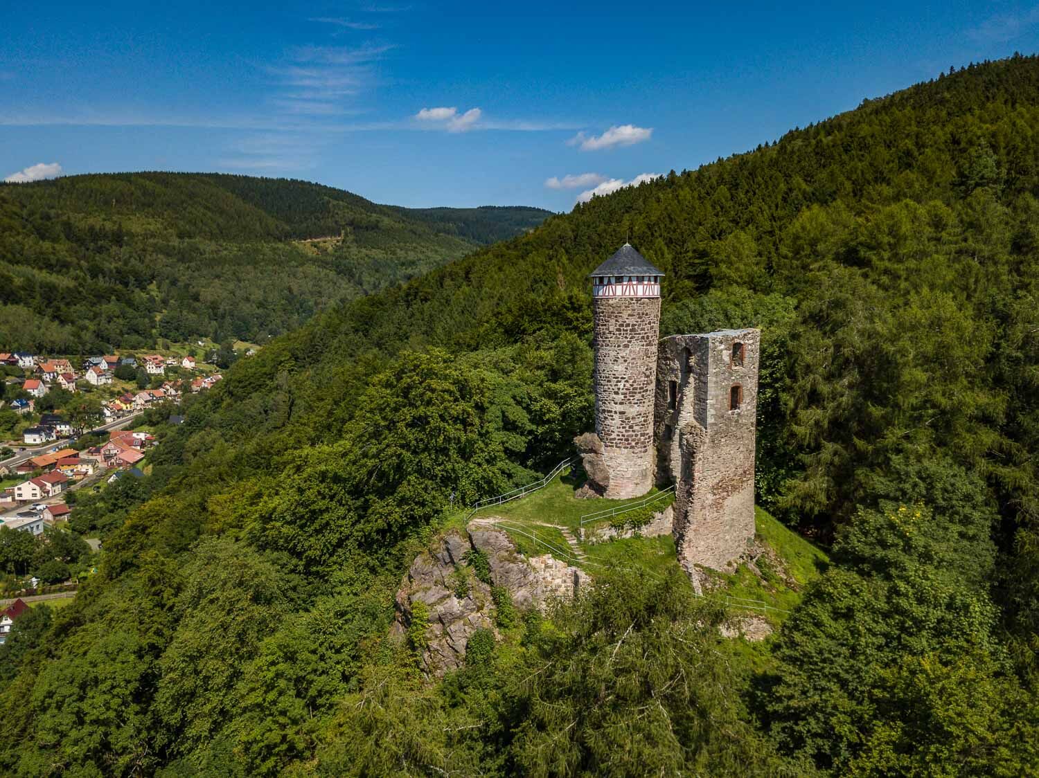
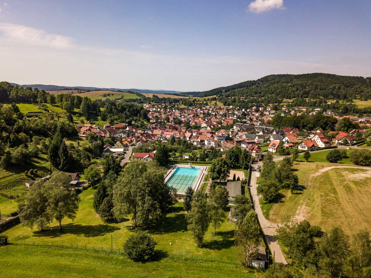
A mystical castle ruin, a narrow forest path and a valley of silent beauty await you on this route around the Arnsberg. At the Bergbaude hiking car park, lace up your hiking boots and first follow a largely...
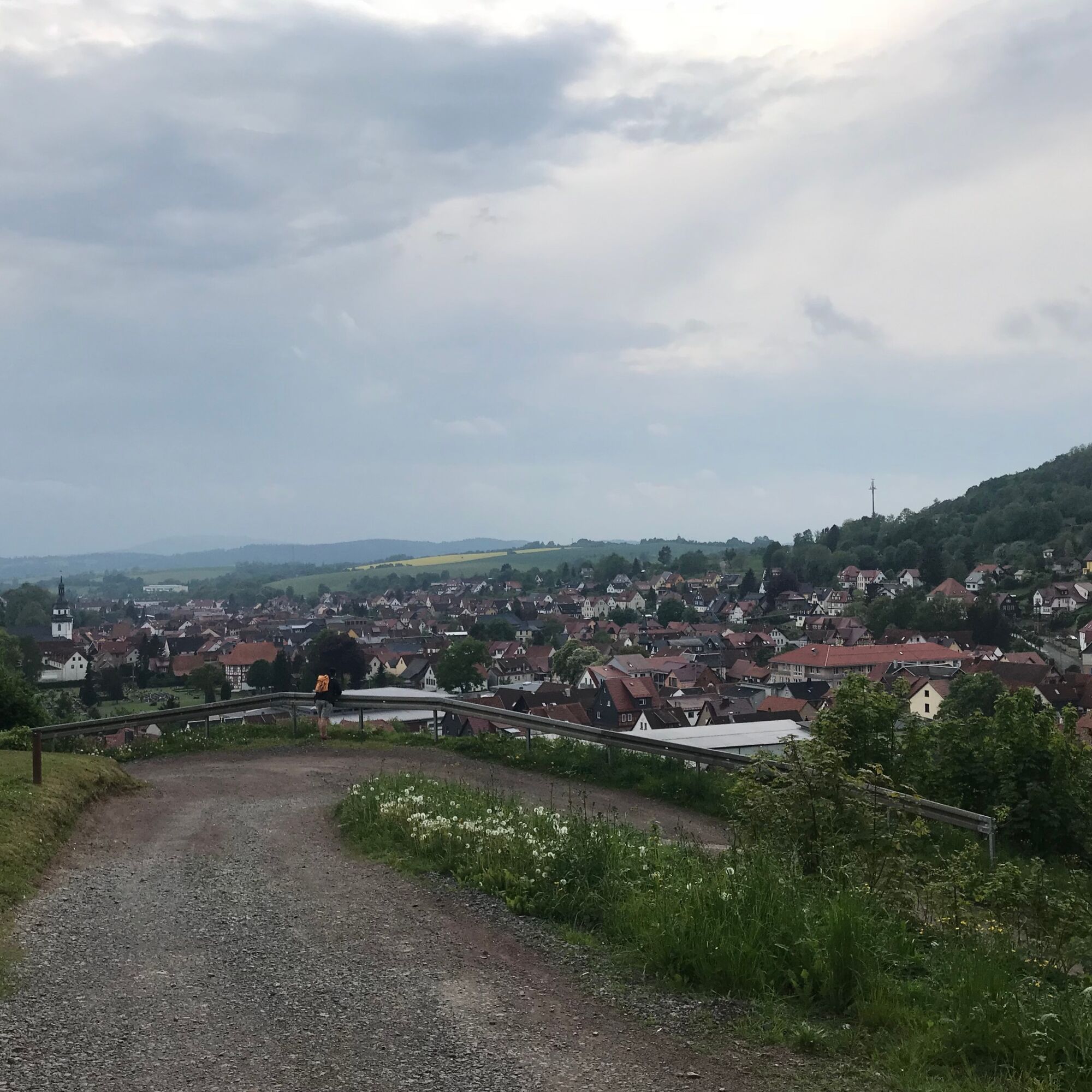
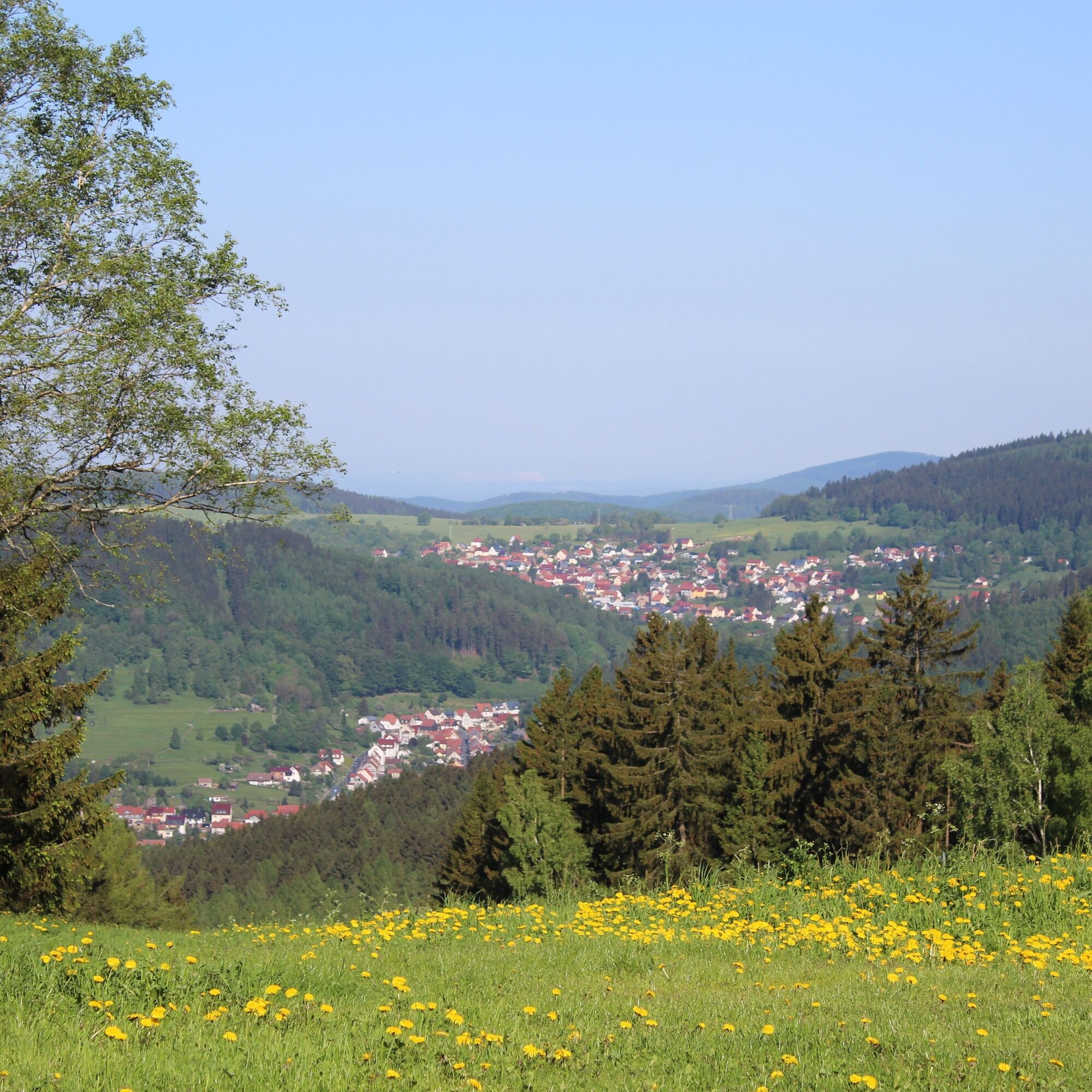
A mystical castle ruin, a narrow forest path and a valley of silent beauty await you on this route around the Arnsberg. At the Bergbaude hiking car park, lace up your hiking boots and first follow a largely level path to the Hallenburg castle ruin. The landmark of the town of Steinbach-Hallenberg rests on a porphyry rock and rises picturesquely from the surrounding beech forest. Once there, be sure to take the detour to the bergfried (keep). The view over the town and Haseltal valley is impressive. You then continue your way along Spitzbubenweg. The path takes you through open high forest to Unterschönau and into the Dörmbachtal valley. The beauty of the valley makes many regional hiking fans’ hearts beat faster. You cross the valley towards the hiking area Knüllfeld. At the popular sun plateau of the locals you can take a break for refreshments before returning over Unterdörfer Wand to the starting point.

Hiking car park – Hallenburg ruin – Spitzbubenweg - Wewers Ruh - Dörmbachtal - Knüllfeld – Unterdörfer Wand - Hiking car park
Ano
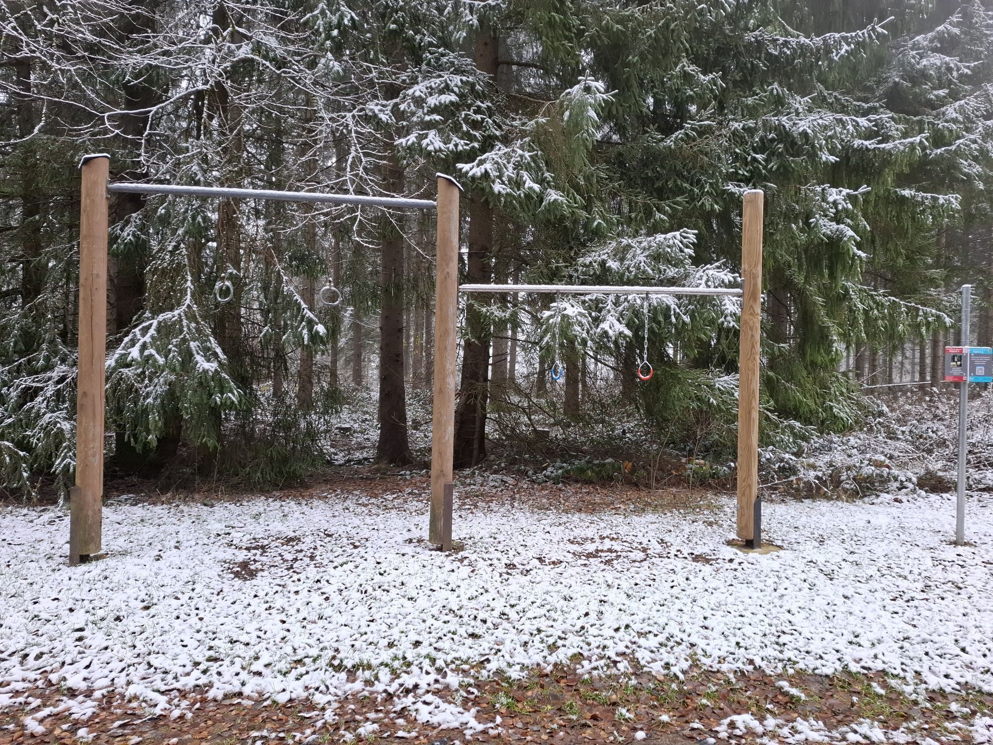
Sturdy footwear
Rainwear
Drink reserve
First aid kit
GPS navigation device or smartphone
Please behave considerately and quietly in the forest to protect flora and fauna. Follow the instructions of the forestry staff and observe any restrictions due to forestry work.
If arriving via the A71 take the Zella-Mehlis exit. Follow the signs towards Schmalkalden/Steinbach-Hallenberg. After passing through Zella-Mehlis continue towards Benshausen. At the roundabout take the first exit towards Viernau. Drive through the village of Viernau and continue straight ahead into the center of Steinbach-Hallenberg in the district of Herges-Hallenberg. Continue straight on the main street. After the petrol station on the right, turn right into Kirchplatz, cross the Erbstal bridge and turn left into Gräfenweg. Follow the signs to "Hallenburg". Gräfenweg becomes Bergweg as you continue straight and you will reach the hiking car park on the left just after the Bergbaude guesthouse.
Arrival in Steinbach-Hallenberg is possible by Deutsche Bahn and MBB bus lines. When arriving by bus, use the stop "Rathaus Steinbach-Hallenberg".
Use the Deutsche Bahn travel portal for travel planning at the following link:
Arrival in Steinbach-Hallenberg
Enter your starting point and desired travel period in the form that opens.
From here it is about 15 minutes on foot to the hiking car park. You walk along the main street towards the castle ruin and then turn right into Bergweg. Follow this to the second intersection where you go straight / slightly left into Rippertswiese. Follow this path until you come back to Bergweg and turn left there. Past the Bergbaude (left) the path leads you towards the castle ruin.
Parking is available at the hiking car park recreational area (Google NAV point) .
T1
Enjoy tasty Thuringian cuisine at the Bergbaude.
Oblíbené prohlídky v okolí
-
4.2
Rund um die Ohratalsperre
světloTuristika 14.5 km -
4.4
Circular hike "Old Tambach Dam", Tambach-D., Thuringian Forest
středníTuristika 8.33 km -
3.8
Wanderung zum Spitterfall
středníTuristika 14.6 km -
4.8
Circular hike - Schmalwasser reservoir - Tambach-Dietharz - Thuringian Forest
středníTuristika 13.8 km -
4.0
Circular hiking route "Oberschönauer Felsenwanderung" - Steinbach-Hallenberg - Thuringian Forest
heavyTuristika 12.0 km -
4.0
Zu den Schanzen im Kanzlersgrund
středníTuristika 9.58 km -
4.5
Hike over the Rennsteig & the Schneekopf to the Schmücke
heavyTuristika 20.9 km -
5.0
Hiking - Summit hiking trail - Suhl-Goldlauter - Thuringian Forest
heavyTuristika 32.1 km -
5.0
Circular Hiking Route - Lütsche-Flößgraben - Thuringian Forest
heavyTuristika 13.8 km -
Circular hiking route - Ruppberg - Thuringian Forest
středníTuristika 11.4 km
Pěší turistika a stopování


Nenechte si ujít nabídky a inspiraci pro vaši příští dovolenou
Vaše e-mailová adresa byl přidán do poštovního seznamu.