





Justizrat-Reinhard-Weg
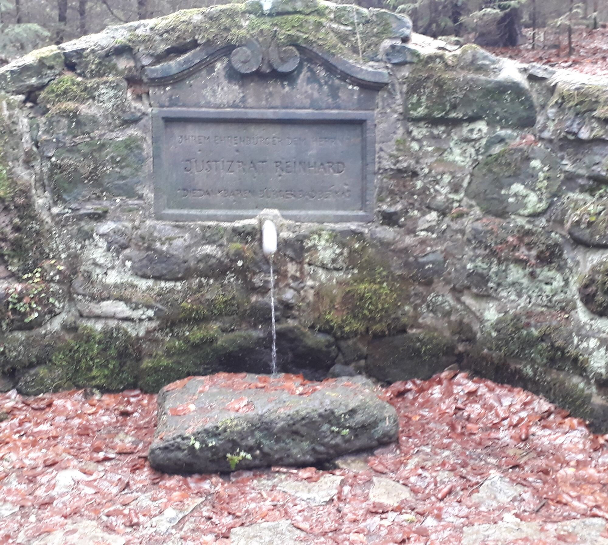
Justizrat Reinhard (died 1889) was an honorary citizen of the city of Berka. For eight years he was very active as a member and chairman of the municipal council for the welfare of the city. The Reinhardsquelle...
Justizrat Reinhard (died 1889) was an honorary citizen of the city of Berka. For eight years he was very active as a member and chairman of the municipal council for the welfare of the city. The Reinhardsquelle was built with financial support from Justizrat and later named after him in recognition of his services.
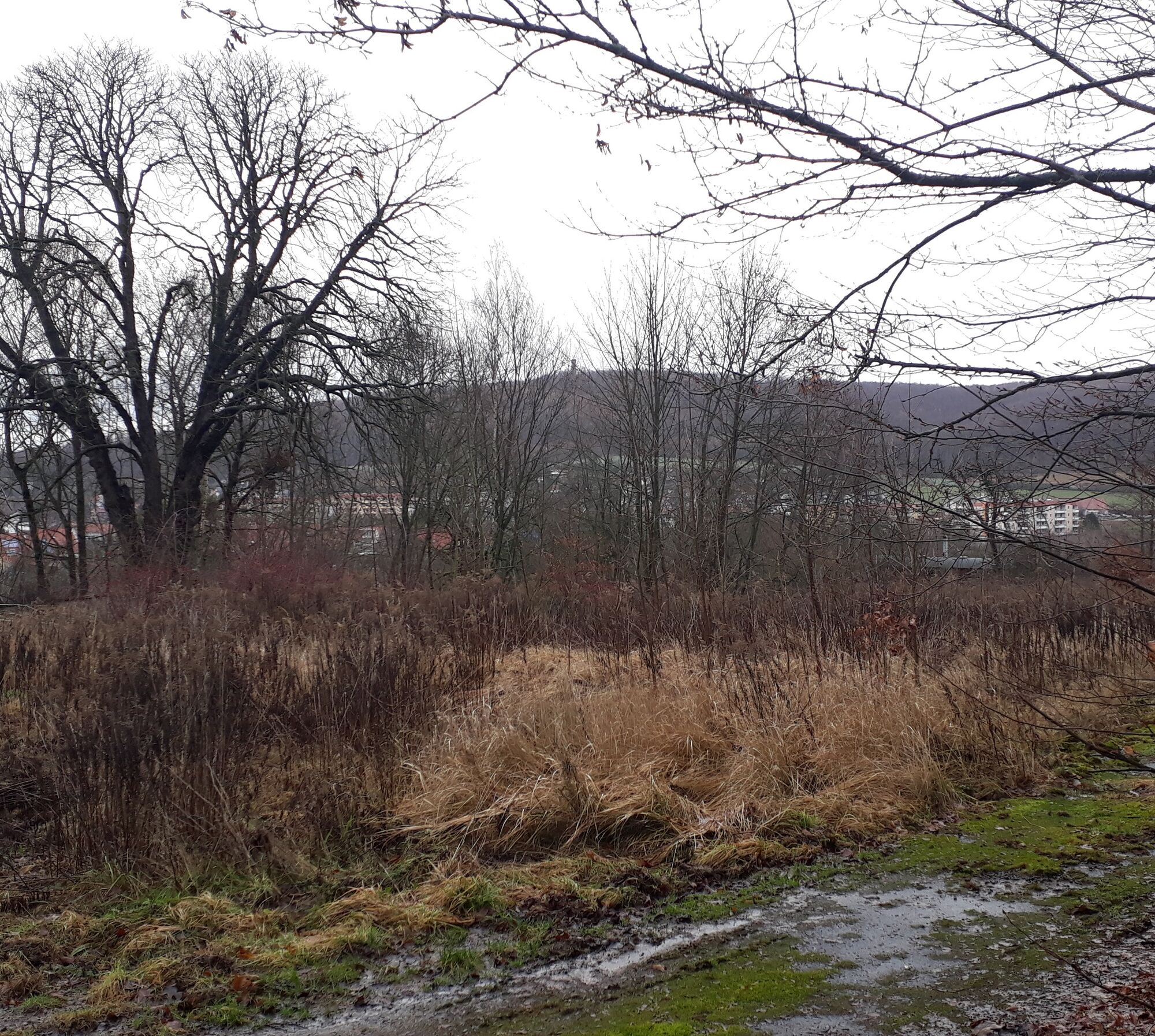

The start is at the Goethebrunnen at the Tourist Information Bad Berka. From there, go via Ilmstraße and Parkstraße to Blankenhainer Straße. At the pedestrian traffic light, cross Blankenhainer Straße and the path continues on Trebestraße. We follow Trebestraße uphill to the end of the development. We turn left into Forststraße and immediately left again onto the path that leads into the forest. We follow the path and pass the Reinhardsquelle. The path leads back to the Forststraße, where we go left. We follow the Forststraße, which turns right uphill. Then, we take the path slightly to the right into the forest. The path goes past the rhododendron garden, then transitions into a path that joins a forest road. Here we turn right and follow the forest road uphill. At the end, we meet a forest road, where we turn right. At the Heustielhütte we turn right and after some time we reach Trebestraße again. We follow this back to the starting point of our route.
Sturdy footwear
From Weimar or Rudolstadt (B 85) turn right or left at the Ilmenau junction into the city center and follow the signs to the parking lot.
From Ilmenau drive straight into the city center at the junction to Weimar/Rudolstadt and follow the signs to the parking lot.
Arrival by bus and train possible. Starting point is accessible on foot.
City center parking lot (well signposted on local signs); free parking as well as caravan parking space; from there about 400 m walk to the Tourist Information.
Parking in Bad Berka
Oblíbené prohlídky v okolí
- 4.5
Kneipp circular route Bad Berka
středníTematická stezka 8.96 km - 5.0
Thuringian Three Towers Trail
středníTuristika 25.3 km Hexenberg circular route
světloTuristika 6.79 kmLudwig Häfner Trail
středníTuristika 10.4 km- 4.0
Ludwig-Geist-Path
světloTuristika 5.13 km Circular hike - "Blossom Magic" Großkochberg Saale-Ilmplatte - Großkochberg
středníTuristika 6.30 kmMegamarsch Erfurt 2022
heavyTuristika 50.6 kmAdventure Trail Schlossberg
světloTematická stezka 2.50 kmKohlgrund Route
středníNordic Walking 15.9 kmProfessor Tegtmeier Path
světloTuristika 4.90 km
Pěší turistika a stopování


Nenechte si ujít nabídky a inspiraci pro vaši příští dovolenou
Vaše e-mailová adresa byl přidán do poštovního seznamu.





