







Münzberg fountain circular route (TK5) – Thuringian Forest

The Münzberg fountain circular route (TK5) in the Thuringian Forest is a moderate hike that stretches over a distance of 5.3 km and overcomes an altitude difference of about 100 meters. The route starts...
The Münzberg fountain circular route (TK5) in the Thuringian Forest is a moderate hike that stretches over a distance of 5.3 km and overcomes an altitude difference of about 100 meters. The route starts at the hiking meeting point in Finsterbergen and first leads right along the sports field to the street at the leisure park. From there it goes downhill towards Friedrichroda and after crossing the Körnberg water, steeply uphill to the Molchhög. The path continues towards the burnt meadow, which is walked counterclockwise around. Past the Münzberg fountain, the trail then leads left steeply downhill back to the Körnbach valley and over the street at the leisure park back to the starting point. Attractions of the route include the Körnberg view with a panoramic view over Finsterbergen up to the Hainfelsen and the forest xylophone. For the hike, sturdy footwear is recommended, as well as layered clothing, a drink supply and a first aid kit. A GPS navigation device or smartphone can also be advantageous.

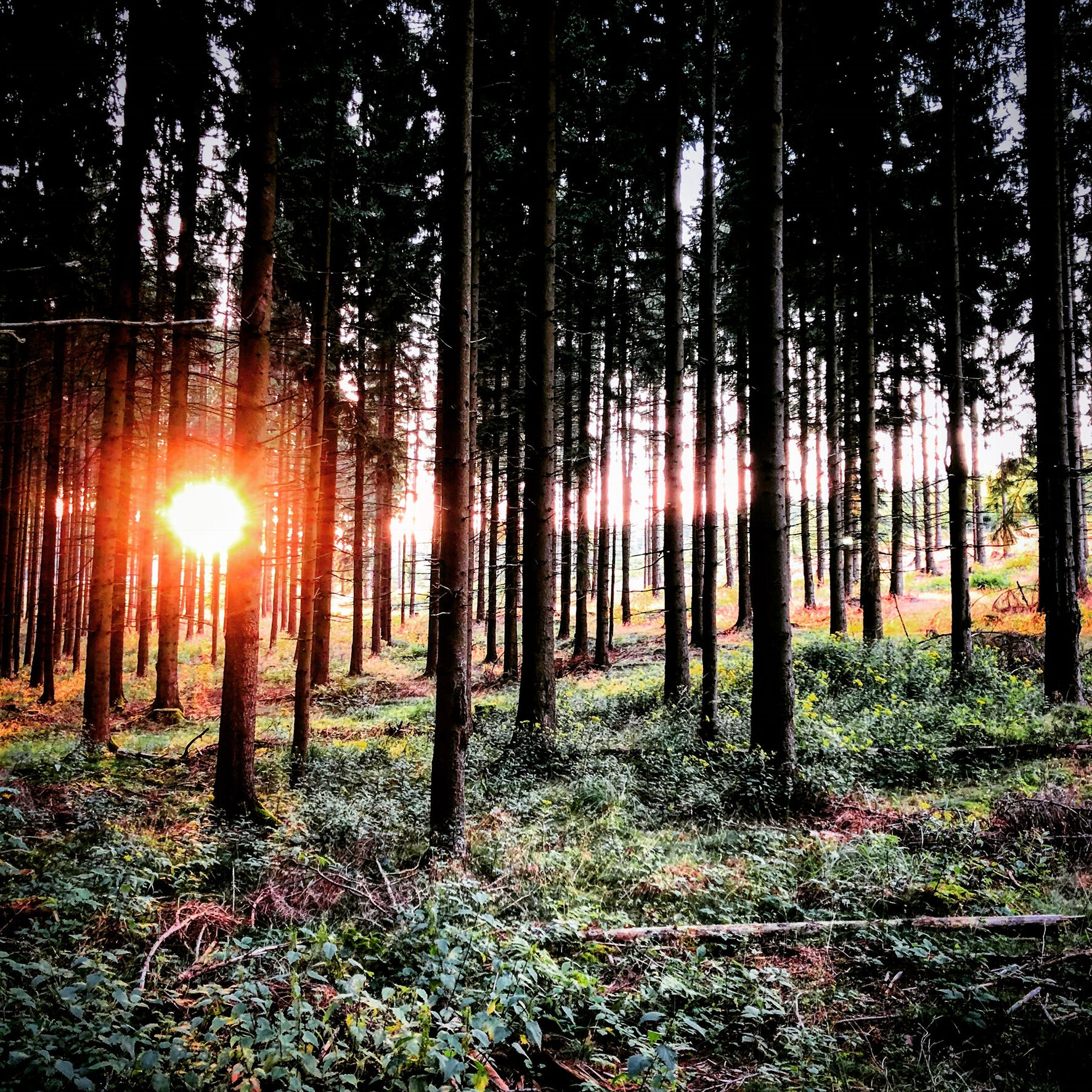
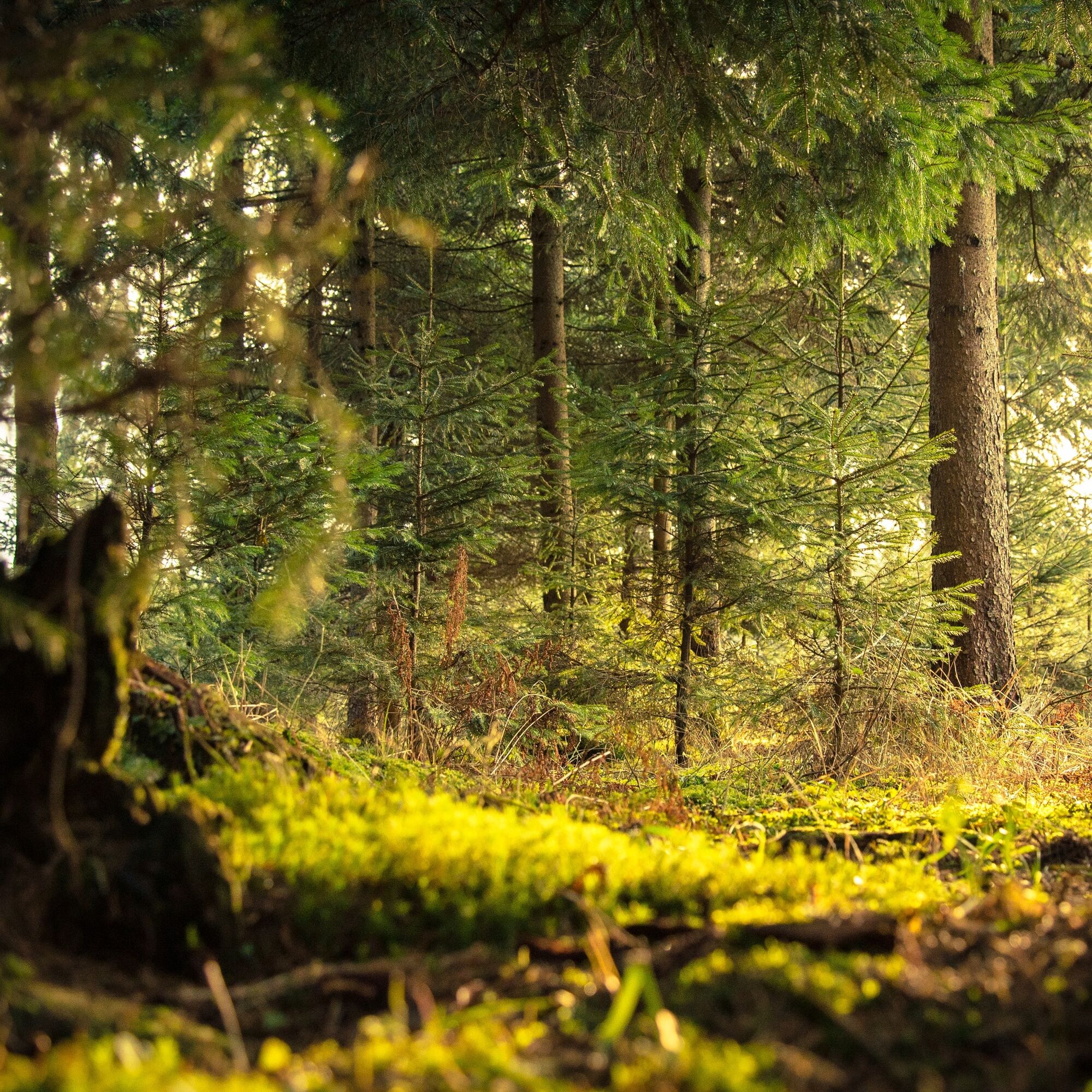
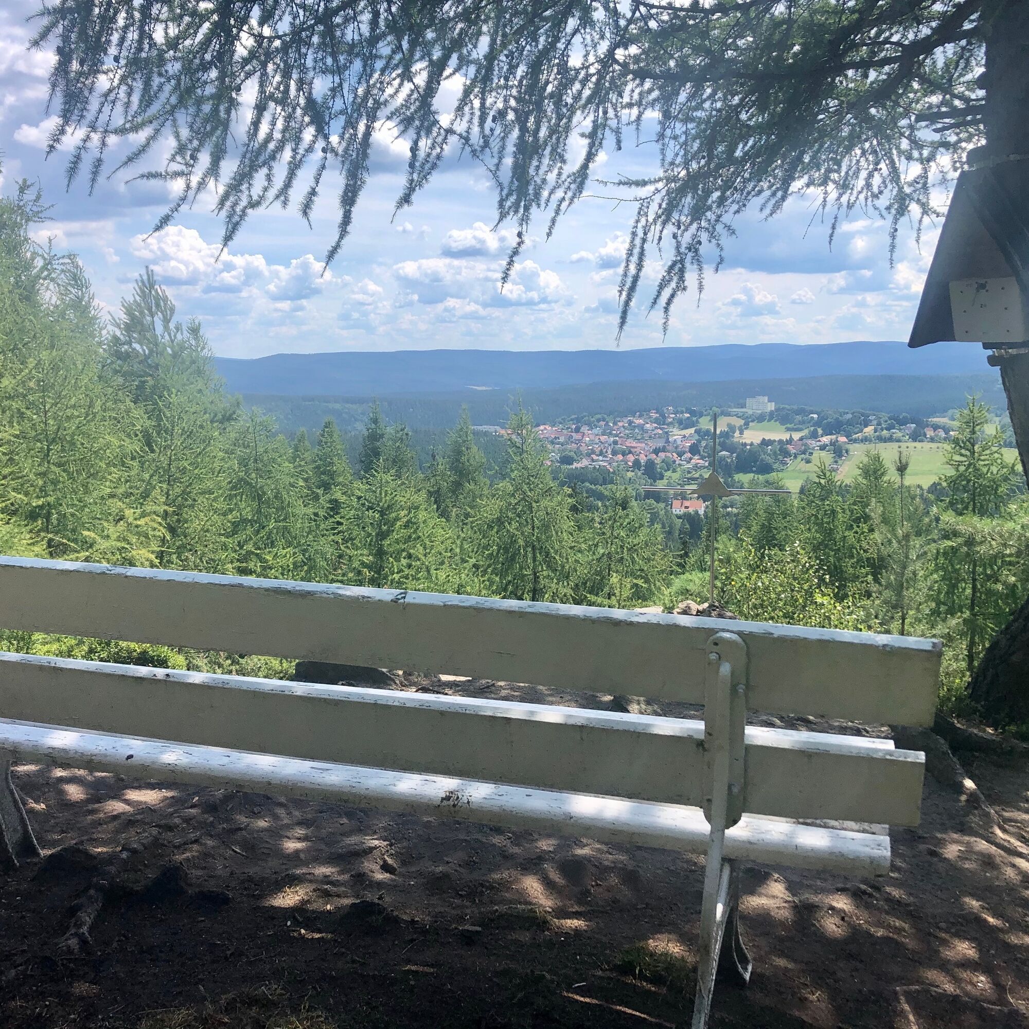
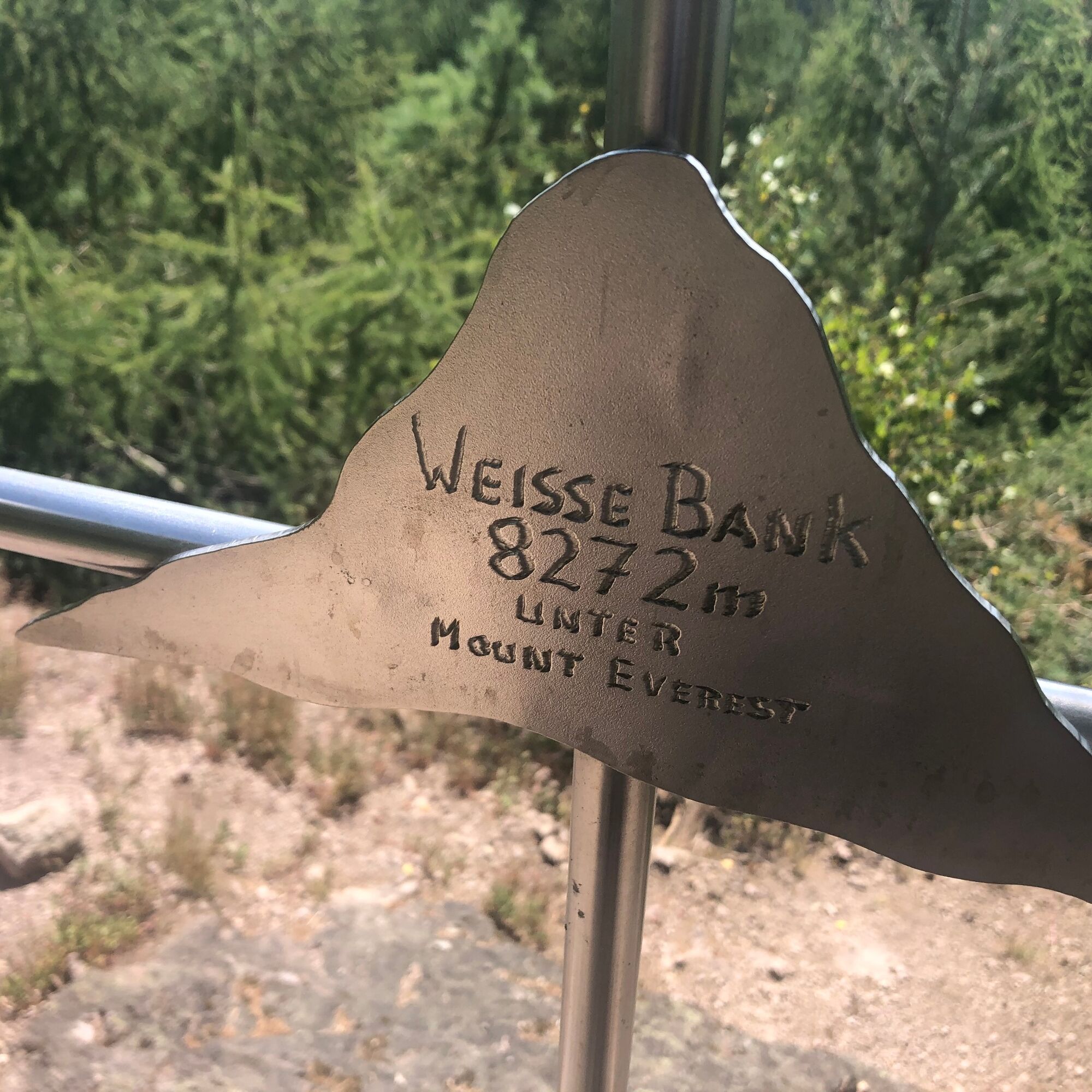
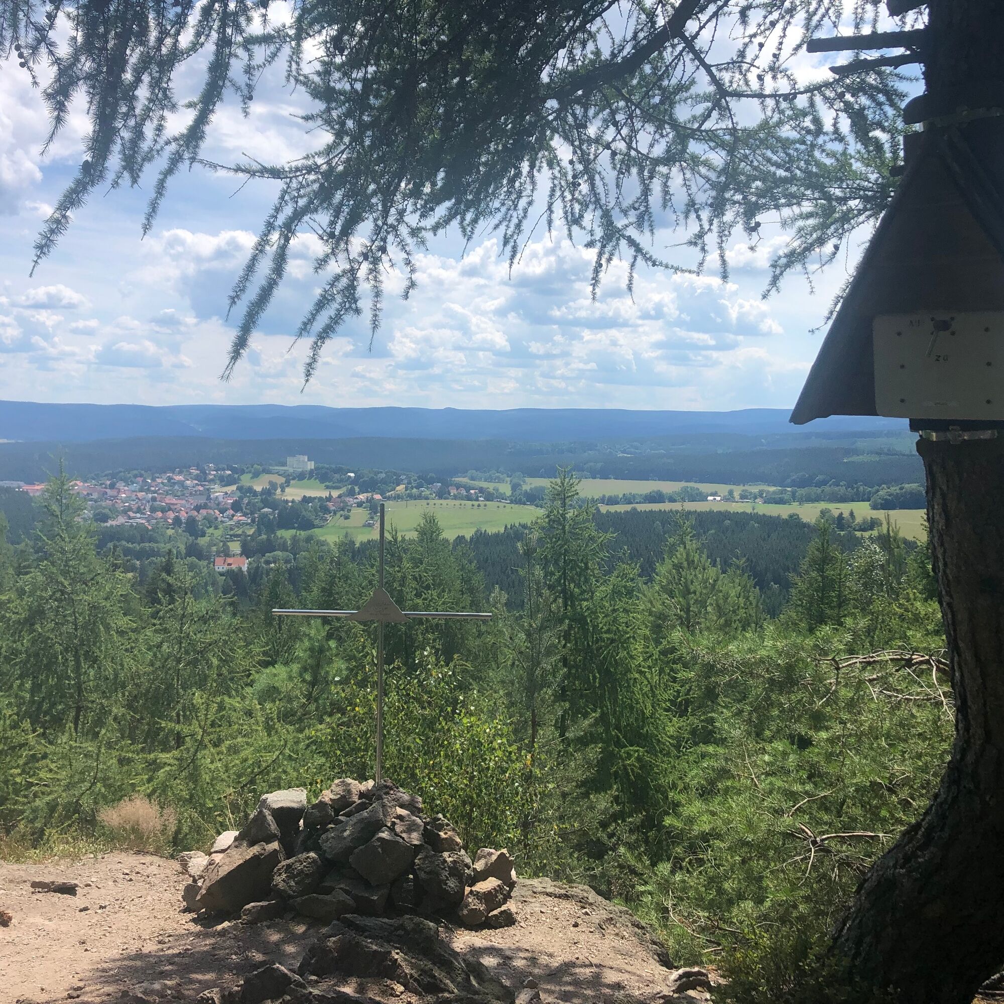

We leave the hiking meeting point to the right along the sports field, turn right again, continue on the street by the leisure park. At the forest house turn left downhill to the Körnberg water, which we cross and then go slightly right (steep) uphill. Now we continue past the burnt meadow. At the forest owner memorial stone, we turn left. We stay on the King's Path, past the Münzberg fountain, then left downhill again, to the street at the leisure park and back to the hiking meeting point.
Sturdy footwear – depending on the weather
Layered clothing (wind and temperature resistant)
Drink supply
First aid kit
GPS navigation device or smartphone recommended
The hike is moderately challenging in hilly terrain!
From the A4, take exit 41b (Gotha-Boxberg) and continue south on L1026 towards Waltershausen and Friedrichroda.
You can reach Friedrichroda/Finsterbergen with the trains of the Thuringian Forest Railway from Gotha main station to the Reinhardsbrunn-Friedrichroda stop or with the trains of DB Regio.
For a direct connection query, please use this link:→ Directions to Friedrichroda
Please only add your travel starting point and the desired date.
The bus line from the station to Finsterbergen is 844
Parking lot at the leisure pool Finsterbergen
Interesting flora and fauna of the burnt meadow

Webové kamery z prohlídky

Oblíbené prohlídky v okolí
-
4.3
Rund um die Ohratalsperre
světloTuristika 14.5 km -
4.6
Summit and panoramic route - Route 1 - Bad Tabarz
středníTuristika 10.9 km -
4.4
Circular hike "Old Tambach Dam", Tambach-D., Thuringian Forest
středníTuristika 8.33 km -
3.8
Wanderung zum Spitterfall
středníTuristika 14.6 km -
4.8
Circular hike - Schmalwasser reservoir - Tambach-Dietharz - Thuringian Forest
středníTuristika 13.8 km -
Tabarzer Vulkansteig
středníTuristika 9.91 km -
4.4
Circular hiking trail - "Trusetal Landmark Route" - Thuringian Forest
světloTuristika 4.02 km -
4.8
Inselsberg tour - Tour 2 - Bad Tabarz
heavyTuristika 15.1 km -
3.7
Backofenloch circular route - route 6 - Bad Tabarz
středníTuristika 7.04 km -
3.2
Von Friedrichroda zum großen Inselsberg
středníTuristika 22.4 km
Pěší turistika a stopování


Nenechte si ujít nabídky a inspiraci pro vaši příští dovolenou
Vaše e-mailová adresa byl přidán do poštovního seznamu.





