







Hiking - "Gold Path" from Schalkau to Goldisthal - Thuringian Forest

Úroveň obtížnosti: T1
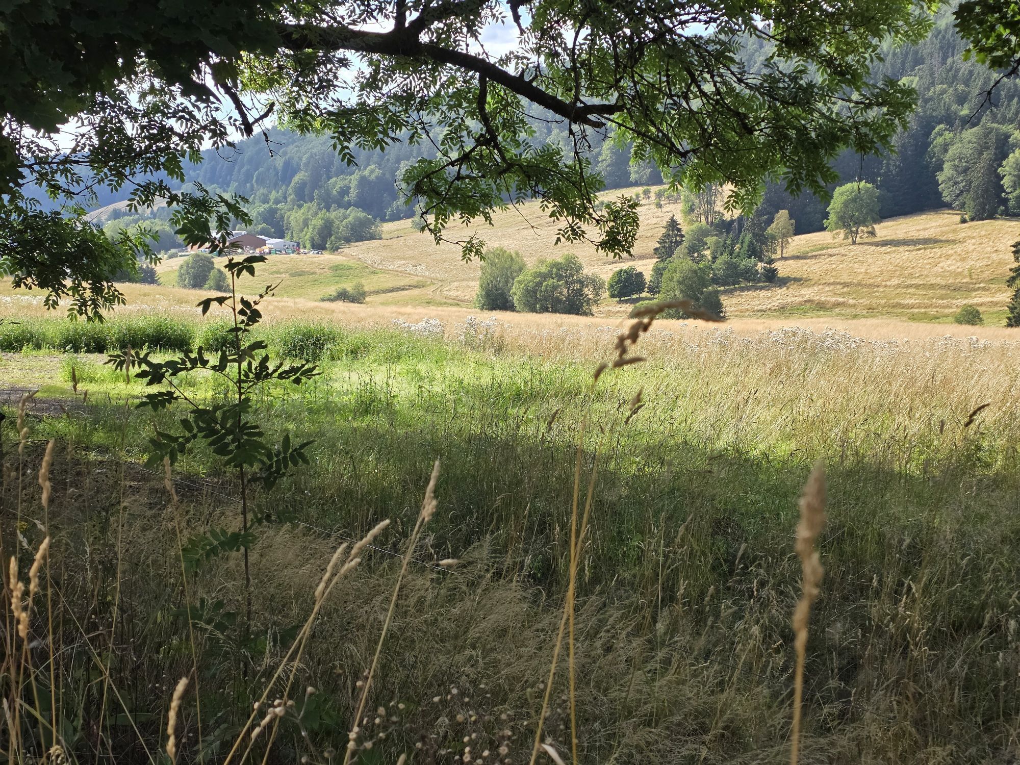

Gold has always held a special fascination and attraction. In Thuringia, in the Grümpen and Schwarza rivers, there has been and still is particularly much gold.
On the Gold Path, you learn a lot about...
Gold has always held a special fascination and attraction. In Thuringia, in the Grümpen and Schwarza rivers, there has been and still is particularly much gold.
On the Gold Path, you learn a lot about the former gold mining in the region and pass historic waste heaps, gold shafts, and gold panning sites where you can still get caught up in the gold rush today. The eventful hike offers you varied nature, many distant views, and the scenic beauty of the Thuringian landscape. The Gold Path mostly runs over unpaved paths and leads through a rugged mountain region. It ascends to the famous long-distance Rennsteig trail and should be done as a multi-day tour.
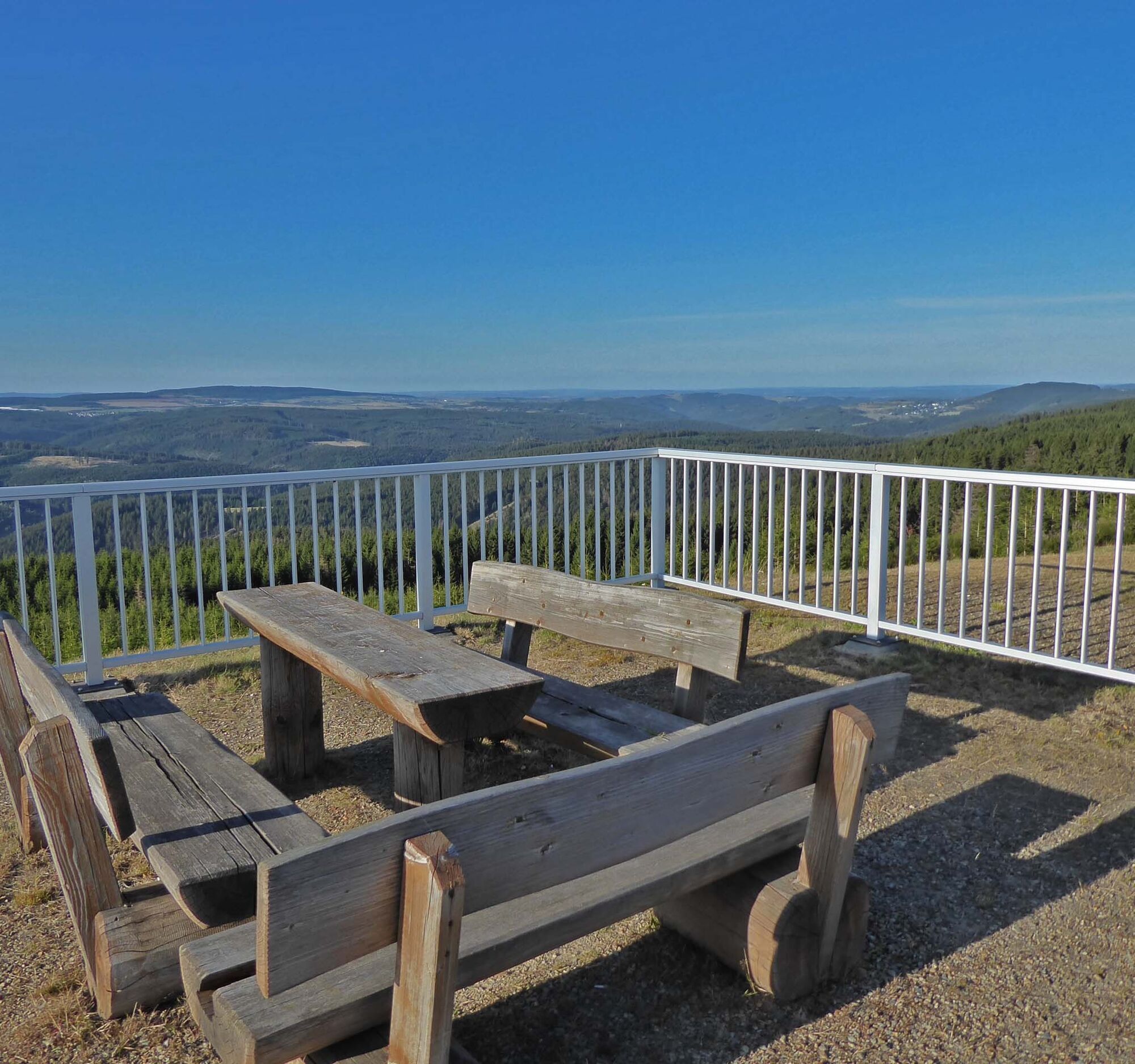
Along the way, you can repeatedly enjoy wonderful views and get information on info boards or at the Gold Museum about the geology and history of gold mining.
The Grümpen river is rich in gold; its clear spring water refreshes especially in summer months.

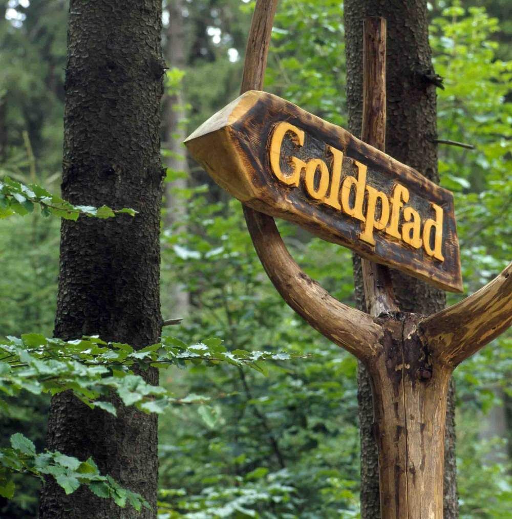
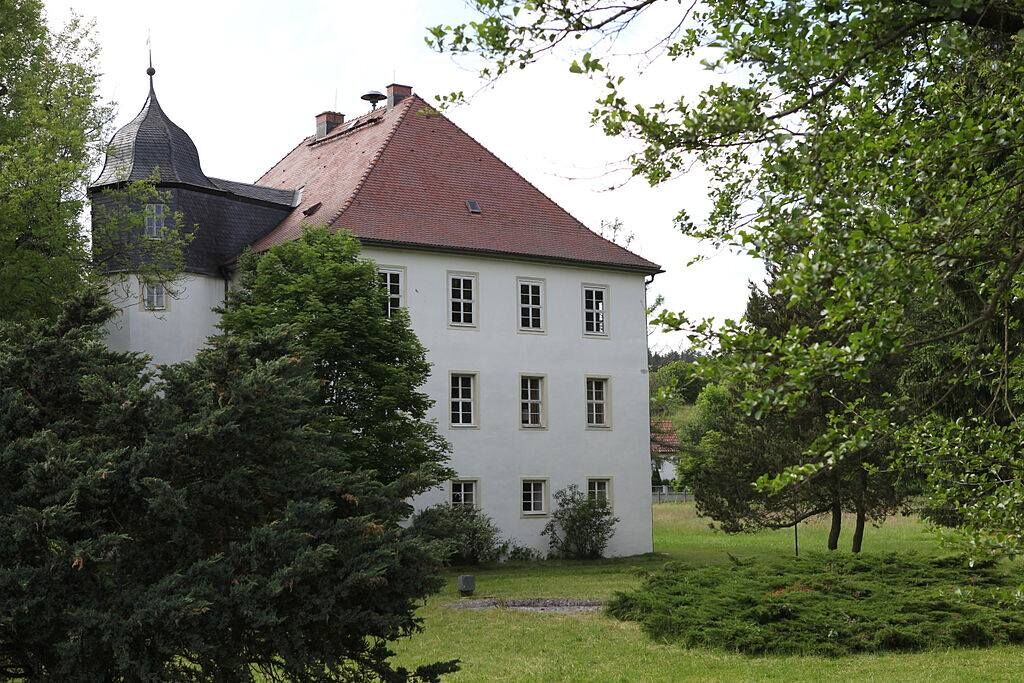
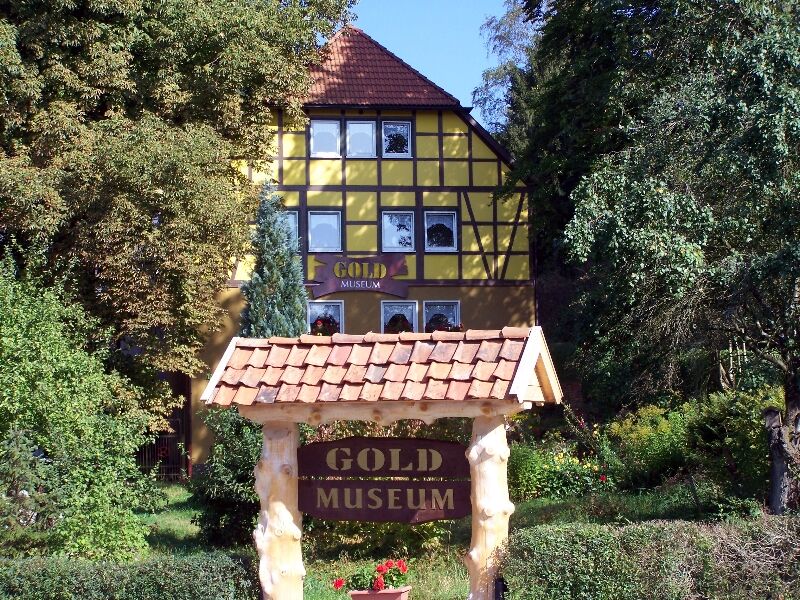
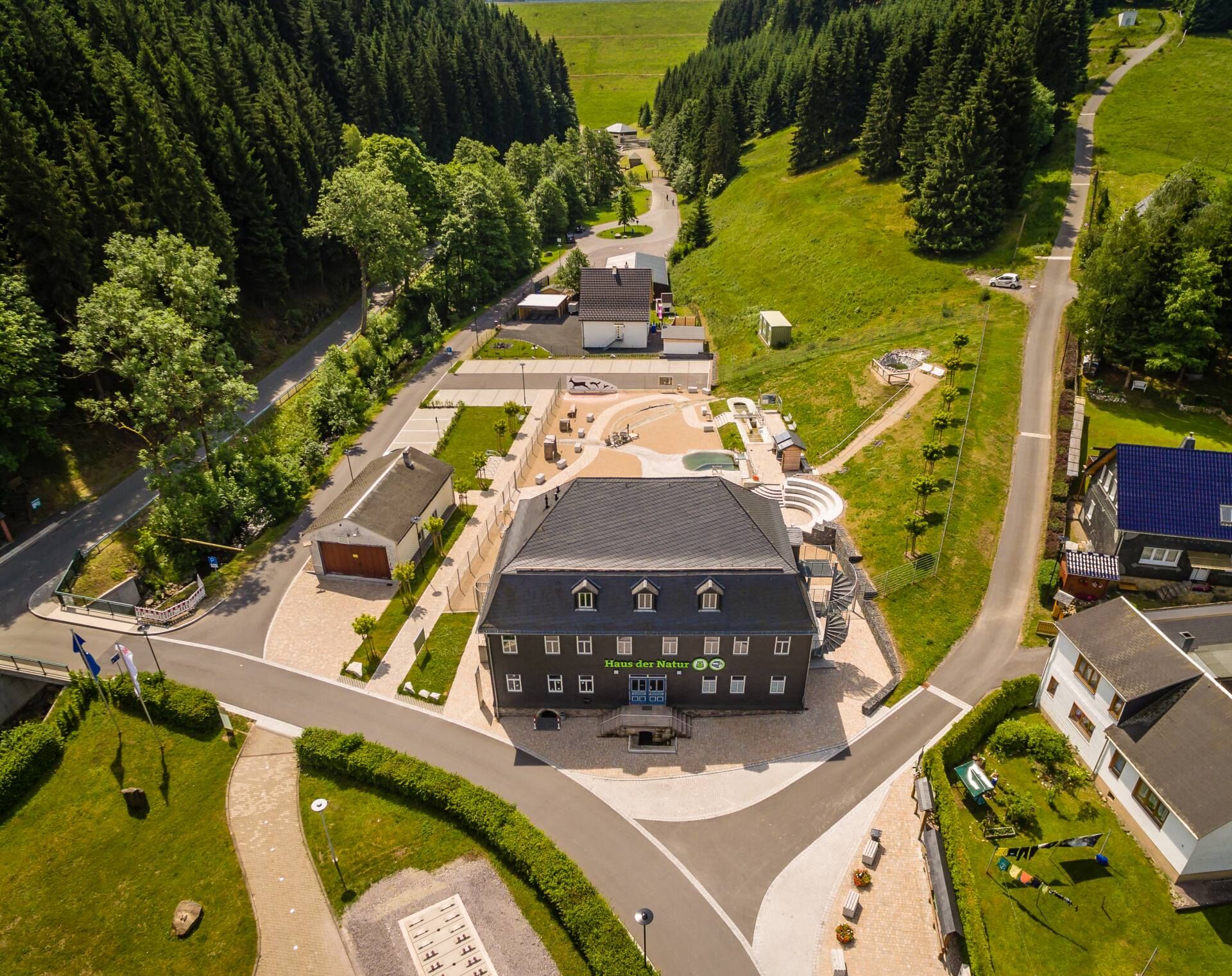


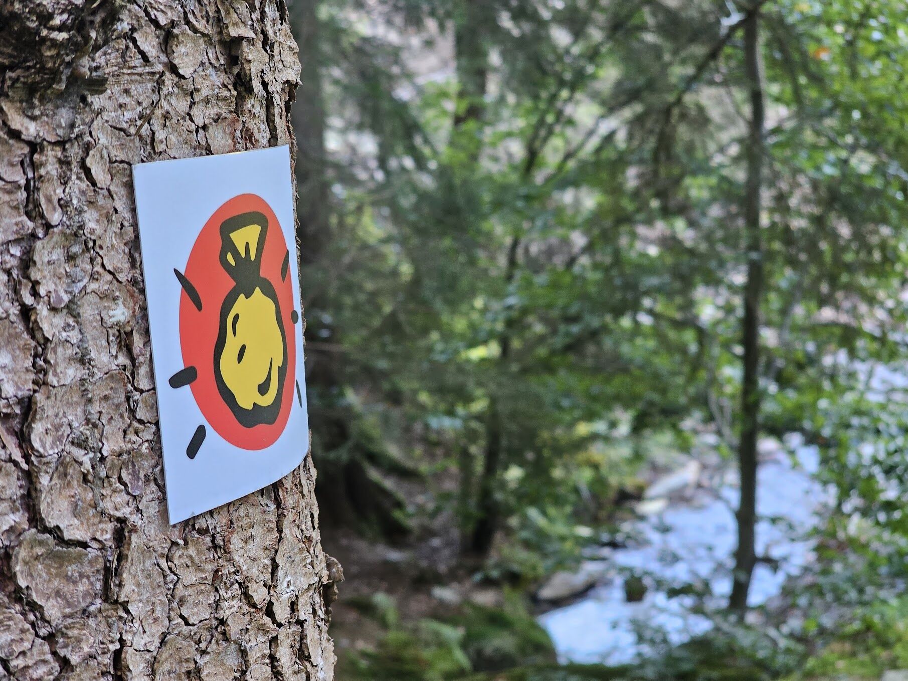

Schalkau - Almerswind - Oberroth - Gold panning hills near Selsendorf - Grümpental Bridge - Rauenstein - Gold Museum in Theuern - Kugelbaum - Neumannsgrund - Gold panning site - Limbach - Schwarzastausee - Scheibe-Alsbach - Goldisthal pumped storage power plant - Goldisthal
You start the hike at the Geopark information point in Schalkau and initially walk along the Itz river to Almerswind. There you discover historic gold panning hills in the Grümpen valley. This river is one of the richest in gold in Germany.
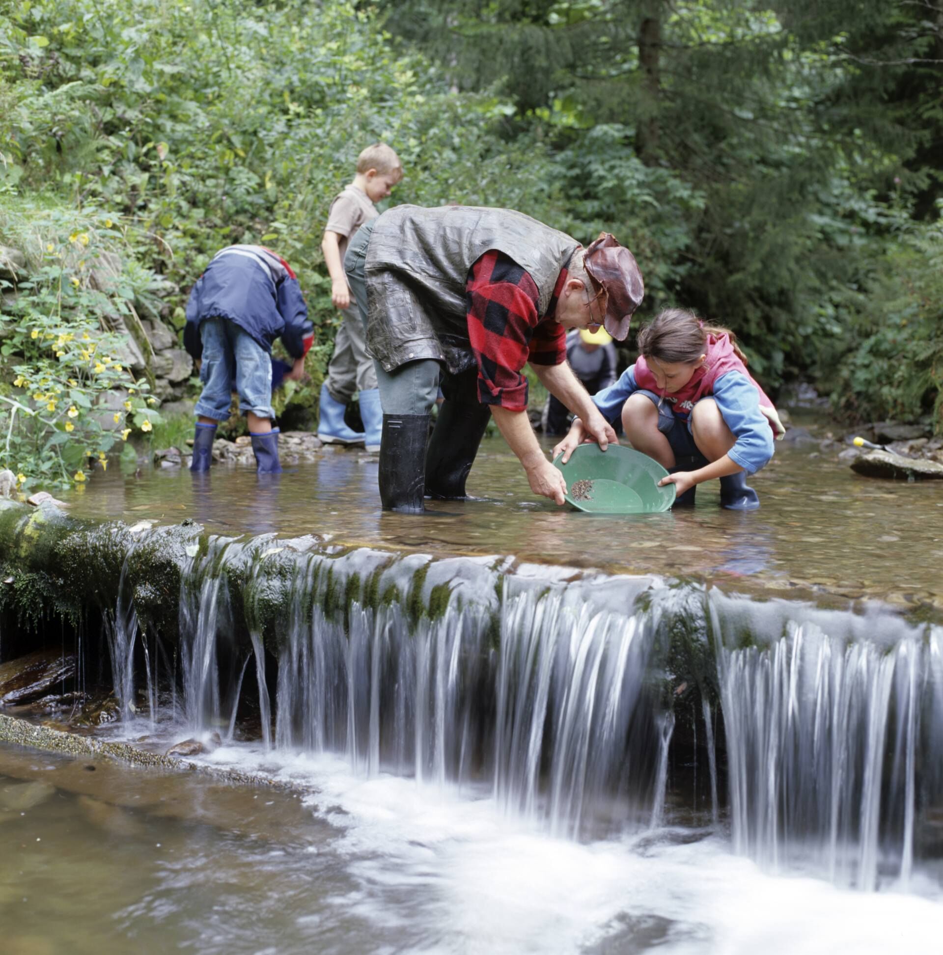
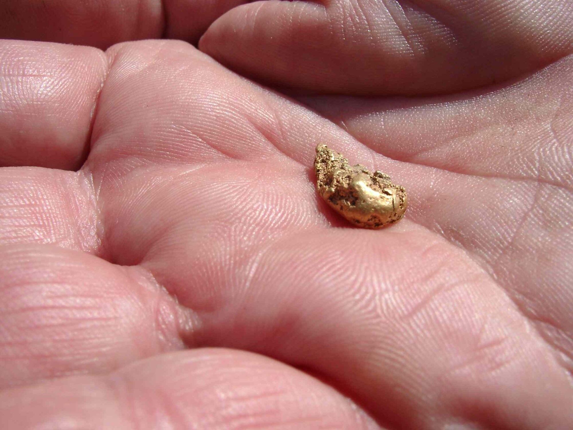
In Theuern, a visit to the Gold Museum is worthwhile, which tells us the exciting history of gold mining and gold panning in Germany. After that, you continue uphill into the slate mountains. Shafts up to 200 m deep were driven into the mountains to access the valuable precious metal hidden in the rock. On the way to Neumannsgrund, you repeatedly pass old waste heaps or collapses of gold shafts, which bear witness to the former gold rush in this region. In Neumannsgrund, there is the "Güte Gottes" mine, which yielded particularly much gold, and the gold panning site where you can still try your luck today.
Along the Schwarza river, past the Schwarzastausee, you first descend, then ascend again to the "Large Gate" and the upper basin of the Goldisthal pumped storage power plant. Finally, you hike downhill again and reach the lower basin of the Goldisthal dam, where you end the hike.
Ano
Ano
Sturdy footwear
Weatherproof clothing
Drinks and provisions
First aid kit
GPS navigation device or smartphone
Note the typical dangers of the forest!
Walking is at your own risk!
We wish you a relaxing and eventful hike!
Coming from the A73, take exit 8 (Neustadt bei Coburg) and continue on the B4 towards Sonneberg. At the Unterwohlsbach junction, switch to ST2206 and drive north towards Schalkau.
Coming from the north, please take the Eisfeld Nord exit off the A73 and follow the B89 to Schalkau. The start of the Gold Path at the Geopark information point Bleßberghöhle is directly on this highway.
Park there free of charge if you want to return by public transport.
We recommend you travel with the South Thuringia Railway. The Gold Path starts directly below Schalkau station at the Geopark information point Bleßberghöhle.
Use the free parking spaces in Schalkau (Google NAV point)
T1
National Geopark Slate Land: https://www.geopark-schieferland.de/
Thuringian Forest Touring Portal: https://www.tourenportal-thueringer-wald.de/
Thuringian Forest Nature Park: https://www.naturpark-thueringer-wald.de/
Guided hikes on the Gold Path: https://www.gebirgspfade.de/
Natural History Museum "House of Nature" in Goldisthal
Geopark information point Bleßberghöhle in Schalkau
Webové kamery z prohlídky

Oblíbené prohlídky v okolí
-
5.0
Naturlehrpfad Gießübler Schweiz
středníTuristika 7.99 km -
5.0
Circular hiking route - TOP 1 - Werra Source - Masserberg - Thuringian Forest
středníTuristika 5.94 km -
Circular route - "When Rennsteig meets the Schwarzatal panorama path" - Limbach
středníTuristika 9.68 km -
4.0
Circular hiking trail - TOP 4 - Masserberg - Fehrenbach Switzerland - Thuringian Forest
středníTuristika 11.5 km -
4.0
Circular hiking trail - TOP 2 - Masserberg - "Cultural Experience" - Friedrichshöhe - Thuringian Forest
středníTuristika 15.2 km -
Circular route - TOP 3 - hike with a view - Masserberg - Thuringian Forest
středníTuristika 17.3 km -
hiking - Rennsteig - stage 5 - from Allzunah to Friedrichshöhe
heavyTuristika 24.5 km -
4.0
Terrain spa path Masserberg - TKW 7 - Werra spring, Dreiherrnstein - Thuringian Forest
středníTuristika 8.67 km -
Circular hike - Around the pumped-storage power plant - Goldisthal
středníTuristika 19.5 km -
Circular hiking trail - TOP 5 - "Family Fun" - House of Nature Goldisthal - Masserberg - Thuringian Forest
středníTuristika 8.12 km
Pěší turistika a stopování


Nenechte si ujít nabídky a inspiraci pro vaši příští dovolenou
Vaše e-mailová adresa byl přidán do poštovního seznamu.





