


Queienberg - Irrtaler ponds - Queienfeld - Grabfeld - circular route
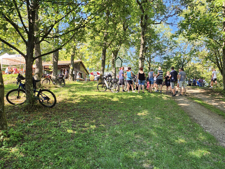
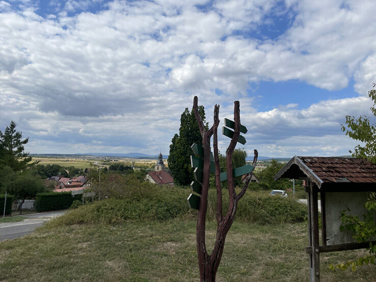
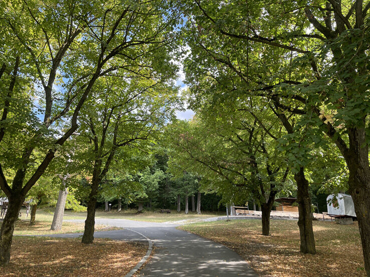
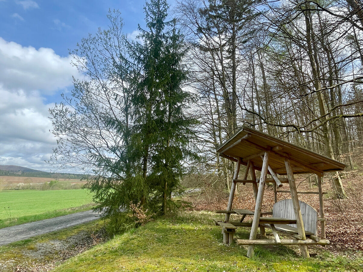
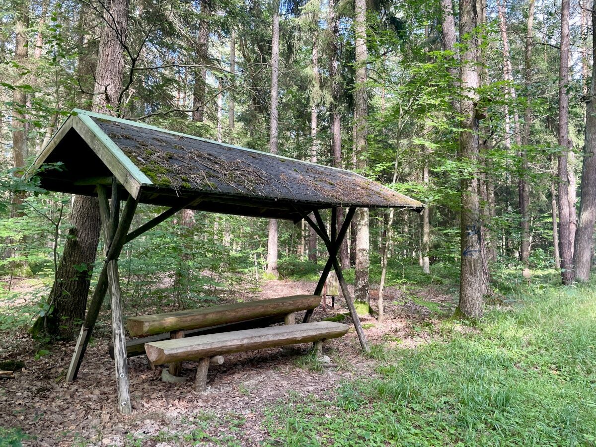
Experience the nature of the Grabfeld on a breathtaking, varied hiking route. Start at the signpost at the foot of the Queienberg. Pass the forest festival site with its numerous covered seating areas,...
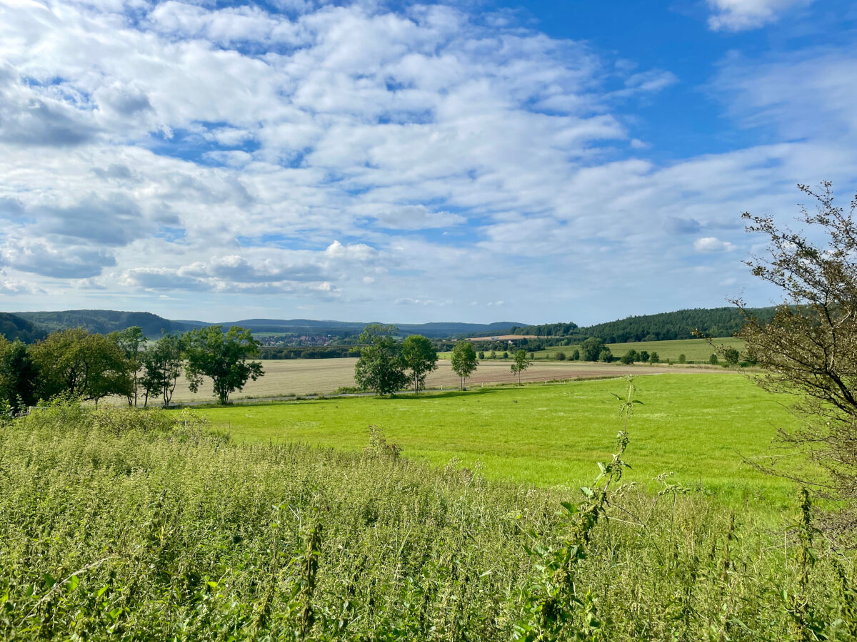
Experience the nature of the Grabfeld on a breathtaking, varied hiking route. Start at the signpost at the foot of the Queienberg. Pass the forest festival site with its numerous covered seating areas, perfect for strengthening yourself for the hike while enjoying views of the Bavarian, Hessian, and Thuringian Rhön.
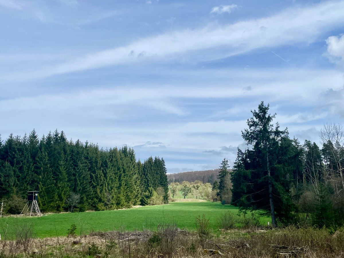
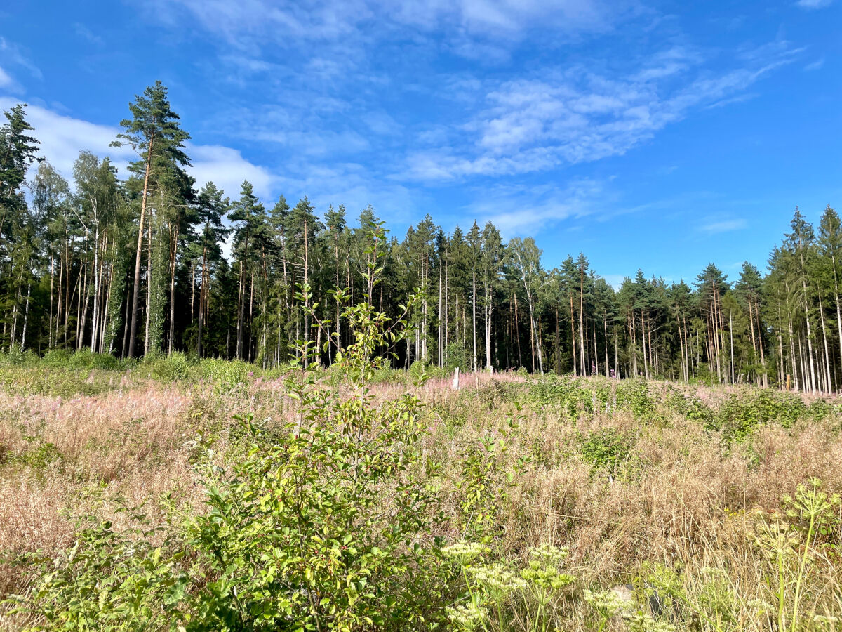
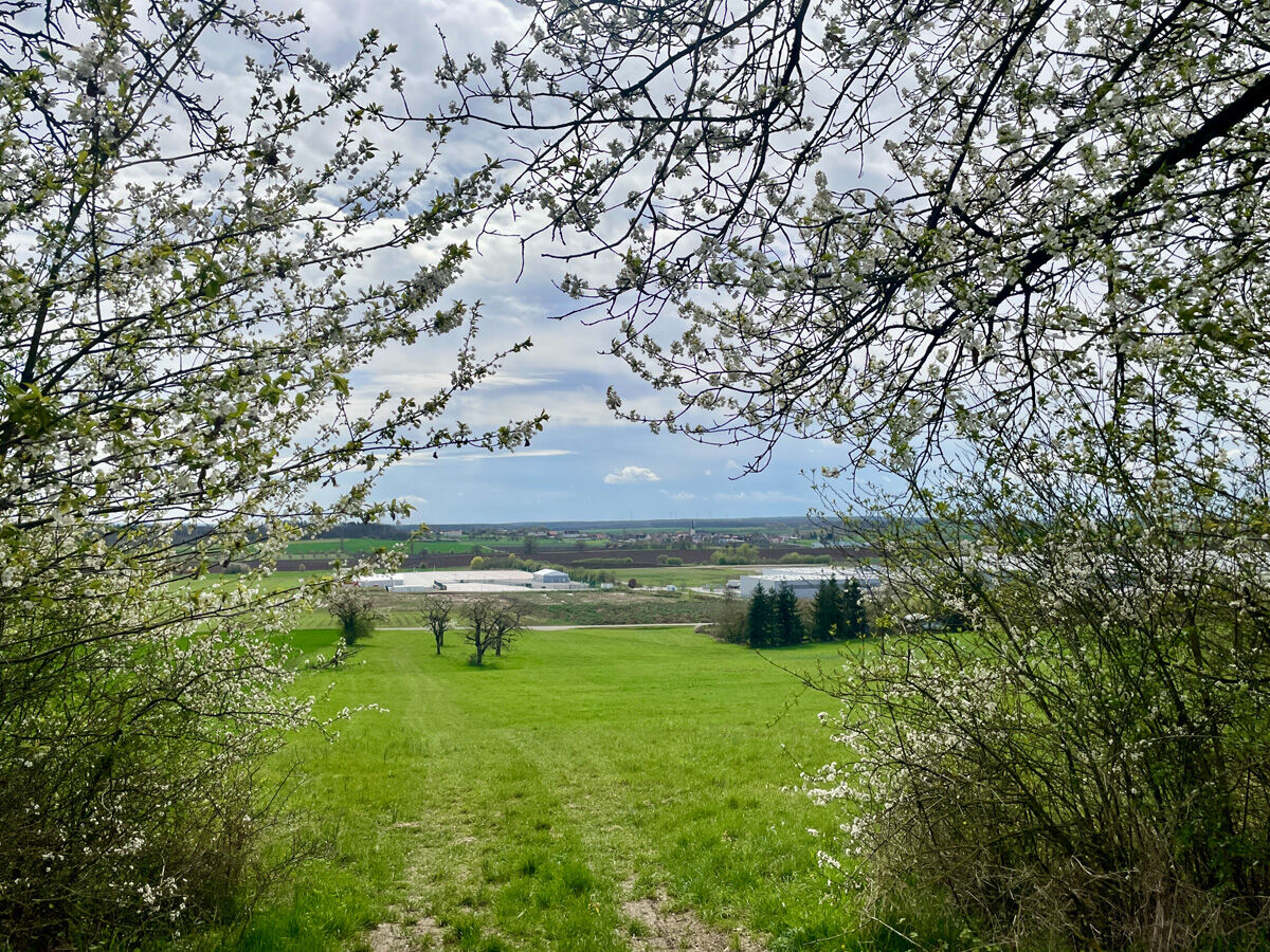
Continue along the western edge of the Queienberg forest, looking over meadows and woods as well as the Bibra district. Follow the signpost and walk along the forest edge, passing more covered seating areas until you reach the forest path into the lower Tannig.
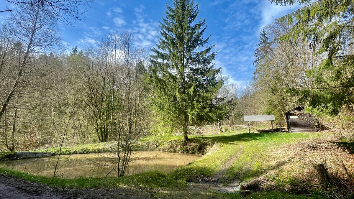
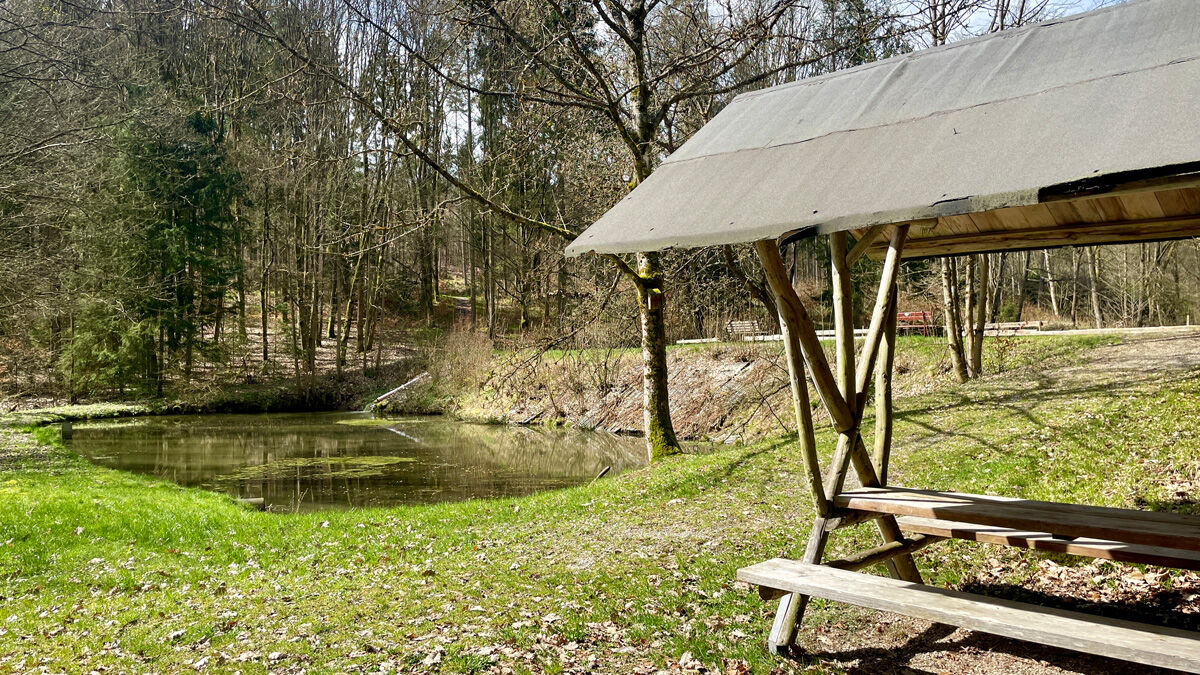
There, follow another signpost towards the Irrtaler ponds and pass the listed burial mounds. Upon arrival, more covered seating areas await. A rest invites you to watch the numerous fish.
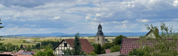
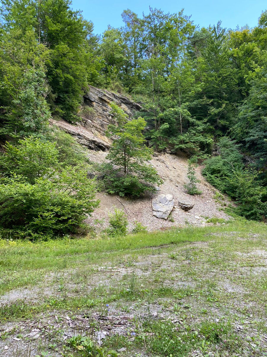
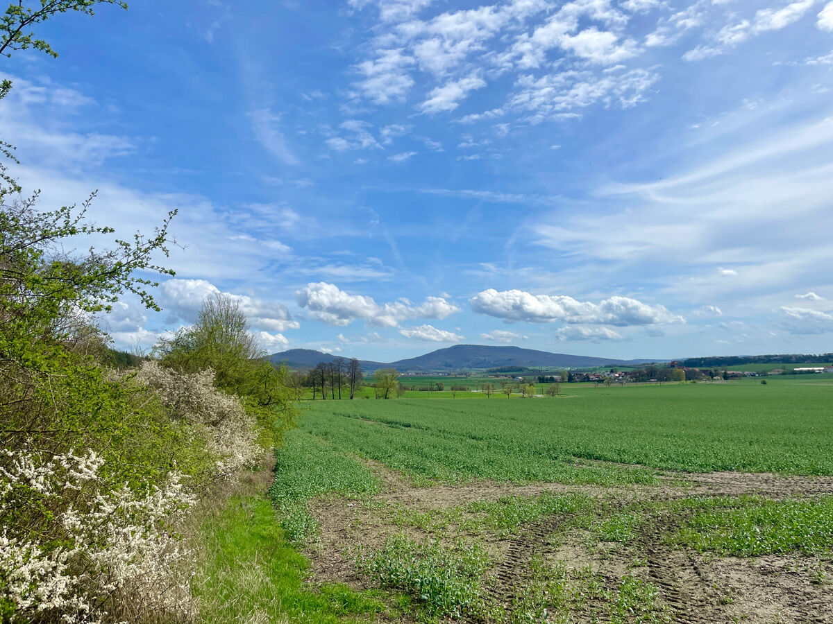
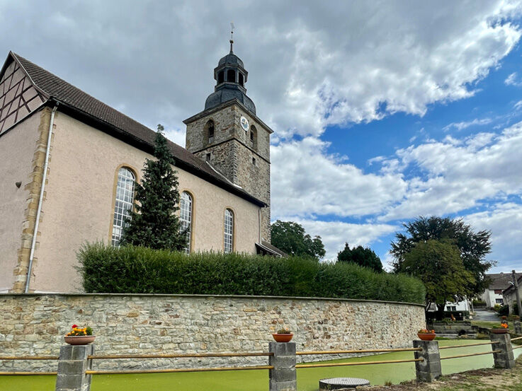
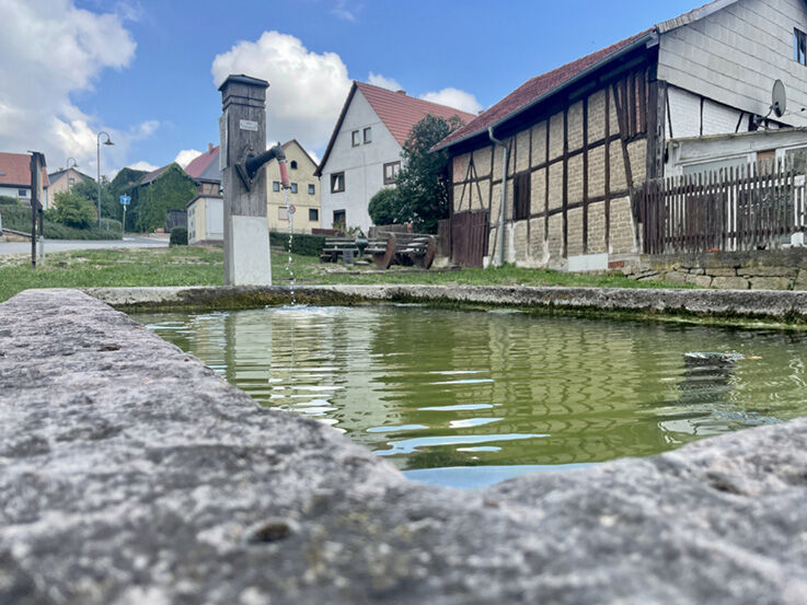
Continue your hike along the water (Hutschbach) towards Bachmühle and Westenfeld, passing legendary rocks. After passing the mill pond, admire the view of the Gleichberge and the village of Westenfeld.
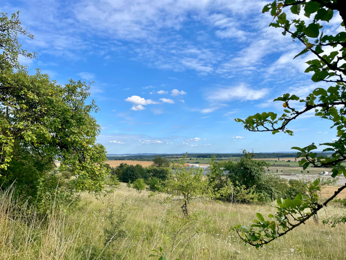
A partially paved path leads you further along the southern slope of the Queienberg back to your starting point. Here, further covered seating areas offer the opportunity to rest; also enjoy the view of the Thuringian Gate industrial area and the distant view to the Haßberge.
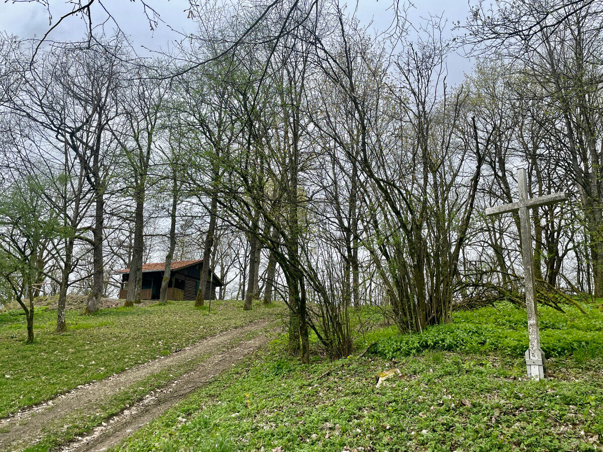
Returning to the forest festival site, a climb to the summit of the Queienberg at the Queienberg hut invites you. There you can enjoy a final refreshment before heading back. This hike offers a relaxing break from everyday life and the opportunity to enjoy the beauty of the landscape.

Start at the signpost towards the forest festival site and pass it on the left. Follow the path along the forest edge towards Jüchsen. Turn at the signpost towards the Irrtaler ponds and follow the path to the gate with rescue point, then go left uphill. Walk along the forest edge, past a weather shelter, until you reach a forest path. Follow it to the right around the corner into the forest to the signpost towards Westenfeld, turn right and reach the Irrtaler ponds. Continue down the hill towards Westenfeld and Bachmühle. Follow the signpost towards Queienfeld and enjoy the view of Westenfeld and the Gleichberge. Follow the paved path with seating options and a view of the Thuringian Gate industrial area to the Haßberge. Return to the forest festival site and climb the Queienberg to enjoy a last refreshment at the Queienberg hut before returning to the forest festival site.
Ano
Sturdy footwear
Light backpack
Drinking water
First aid kit
GPS navigation device or smartphone
Caution with crossing road traffic. Sections of the path are part of the municipal cycling network, so attention should be paid to cyclists.
Please note the potential dangers of the forest along the hiking route.
Via A71 to exit 23 Rentwertshausen towards Queienfeld (turn right from the motorway exit onto L2627)
Via L2686 from Hildburghausen via Römhild to Queienfeld.
You can reach Wolfmannshausen from Meiningen by bus line 405 operated by Meininger Busbetriebs GmbH (MBB)
Free parking is available at the starting point. (Google - NAV point)
Oblíbené prohlídky v okolí
- 5.0
Celtic circular trail - Vachdorf
světloTuristika 7.56 km - 5.0
"On the Celtic Experience Trail" - Vachdorf-Wachenbrunn - Hike
středníTuristika 14.8 km Circular route - From Themar via the Werra Burgen Steig to Kloster Veßra
středníTuristika 8.40 kmMDR Osterspaziergang 2026 Meiningen: Panoramatour über den Drachenberg
středníTuristika 10.7 kmCircular hike - Ring path Meiningen - Werra Valley
heavyTuristika 23.4 kmMDR Osterspaziergang 2026 Meiningen: Panoramatour über Dreißigacker
heavyTuristika 14.4 kmHike - from Meiningen to the Bakunin Hut (Rohr)
světloTuristika 5.79 kmHofteicher - Belrieth im Werratal - Rundwanderweg
středníTuristika 10.2 kmWater hiking on the Werra
středníKajak / Kánoe 22.7 kmHike - "Green Belt Thuringia" - Stage 6 - Zimmerau to Irmelshausen
středníTuristika 24.5 km
Pěší turistika a stopování


Nenechte si ujít nabídky a inspiraci pro vaši příští dovolenou
Vaše e-mailová adresa byl přidán do poštovního seznamu.