







"Grabfeldblick" - Obendorf - circular route

Enjoy a wonderful hiking route with views over the Grabfeld. The route leads through the natural beauty of Obendorf, alternating between open areas and dense forests, especially refreshing in summer. Start...
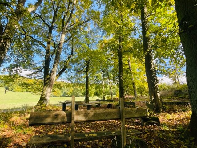
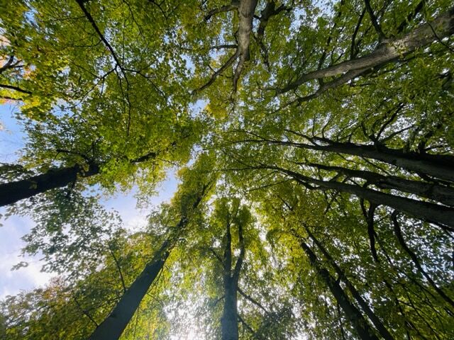
Enjoy a wonderful hiking route with views over the Grabfeld. The route leads through the natural beauty of Obendorf, alternating between open areas and dense forests, especially refreshing in summer. Start with an informative visit to the historic fountain house, where during the 2019 renovation about 110 structures were discovered on an area of around 100 m², proving settlement of the area from the pre-Roman Iron Age to the Middle Ages. Follow the path towards "8 Linden", symbolically planted as hope after the war. In September 1913, to commemorate the Battle of Sedan in the Franco-Prussian War of 1870, the so-called Sedan Festival was celebrated extensively on the square at the Kalte Buche. Seven participants of the war were honored with lindens planted for their fortunate return to Obendorf. The eighth tree was later planted to complete the circle. After a gentle ascent, you reach the resting place "View into the Jüchsetal", offering breathtaking views of Obendorf, Exdorf, and into the Jüchsetal. Back at the junction, follow the paved path along the Grabfeld cycling route, then turn into a small alley, keep to the edge of the forest and cross the quiet forest to the "Tieftal". From there, follow the path right and enjoy the view over the fields before walking the last part of the beautiful hiking trail along a tree-lined path. The panorama from the Franconian view welcomes you before the forest section "Kalte Buche" before you return through the forest and complete your circuit at the starting point, the fountain house. Experience the harmony between man and nature as you walk through gentle hills and green meadows. Take the opportunity to rest at one of the picturesque resting places and admire the beauty of the landscape. Discover the history of the region and the cultural treasures along the path. This circular route offers an enriching experience and new perspectives amidst nature.

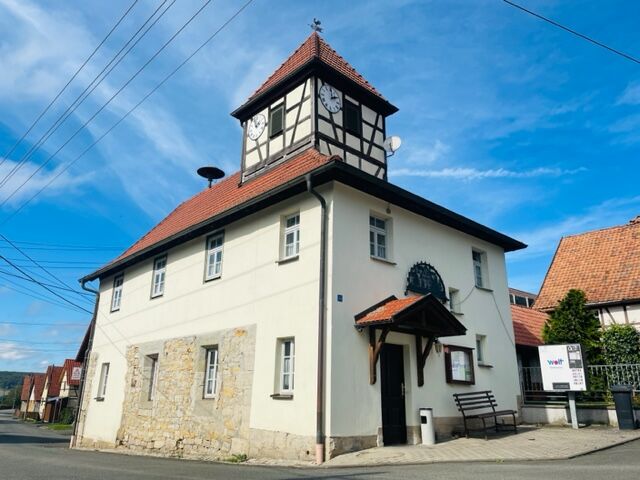
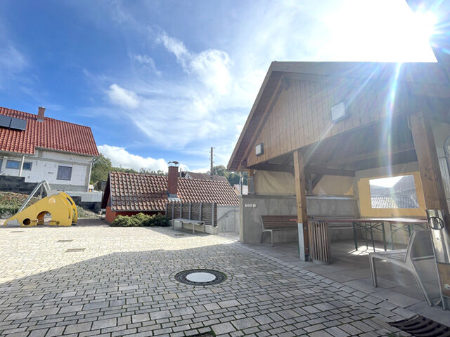

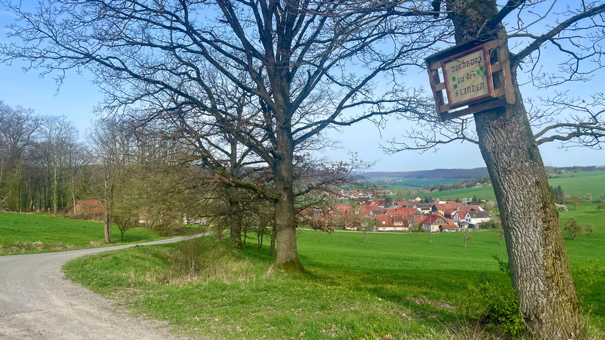
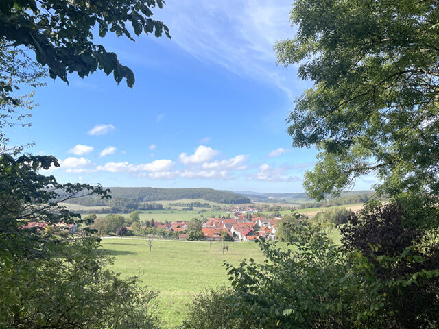
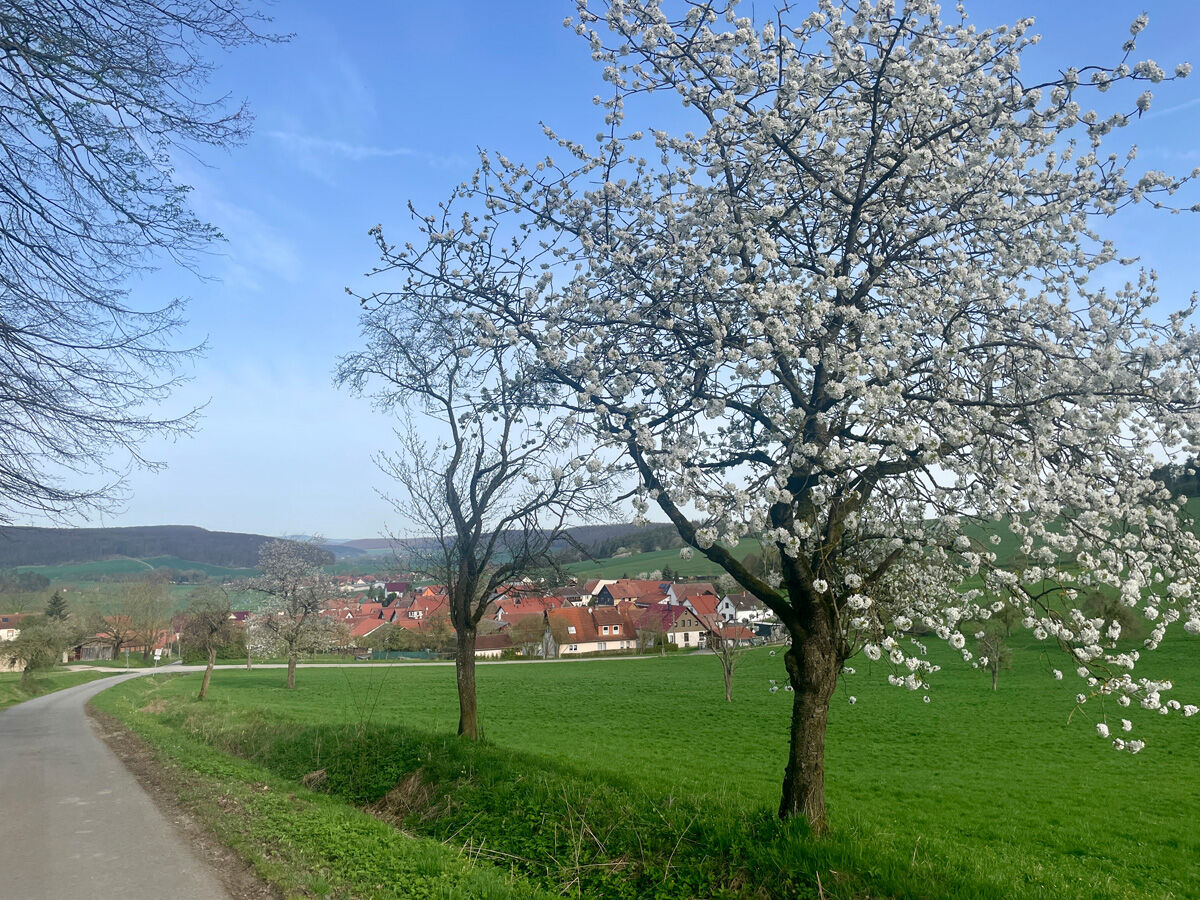
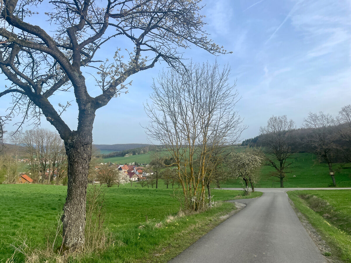
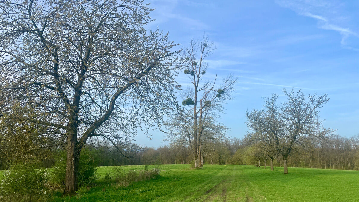
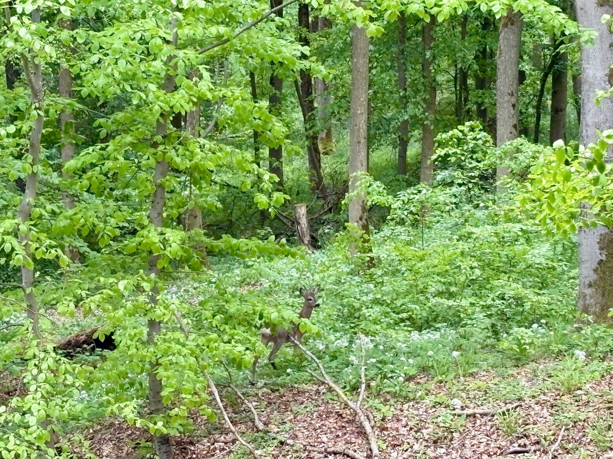
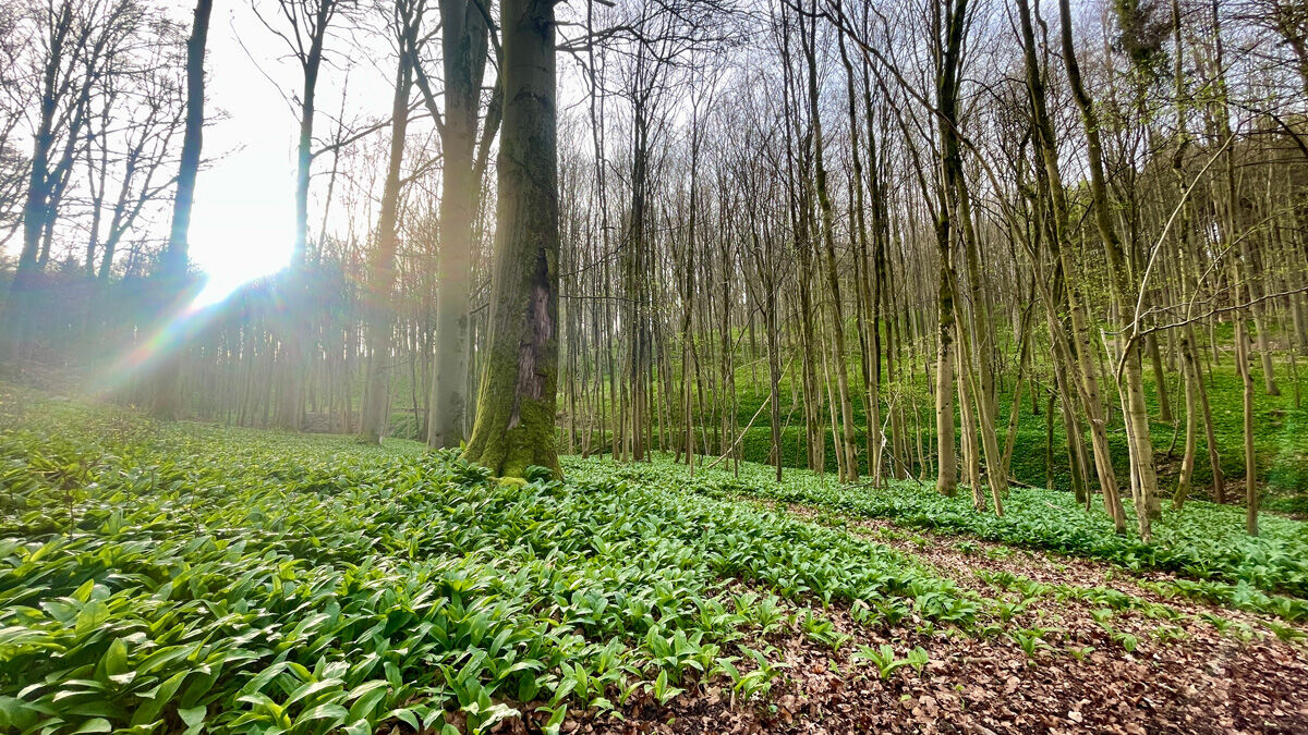
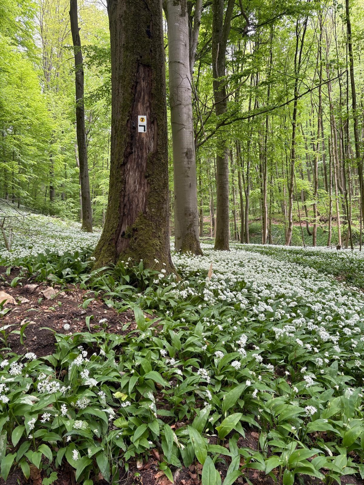
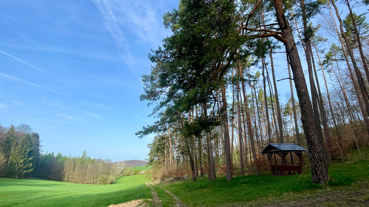
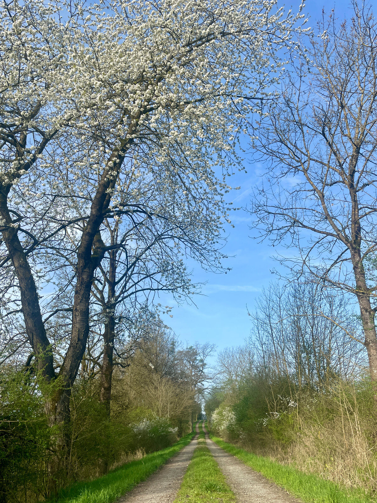
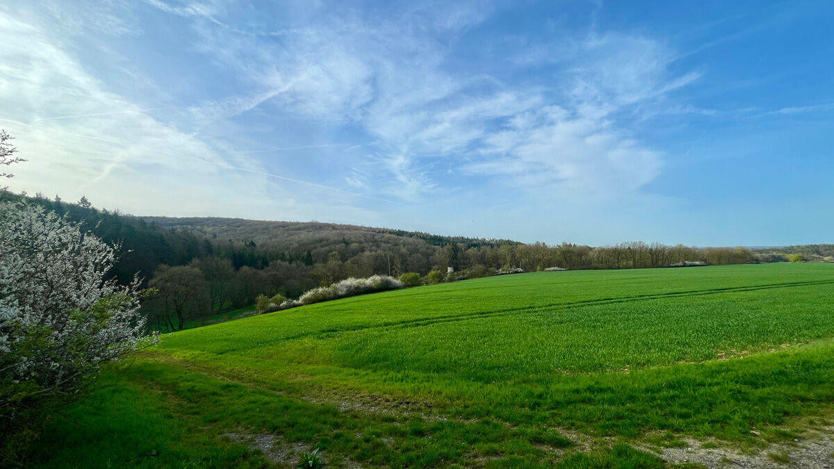
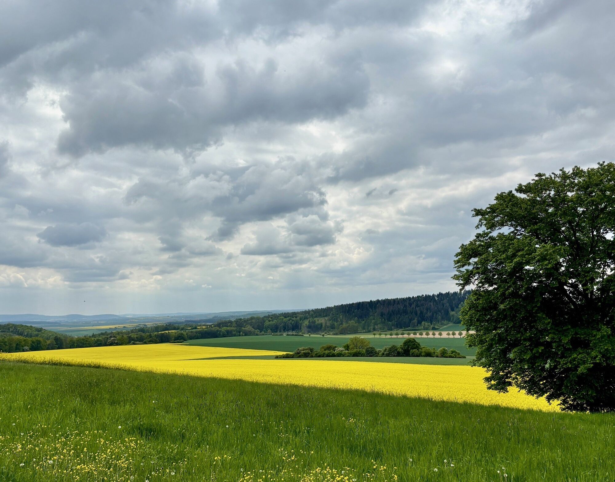
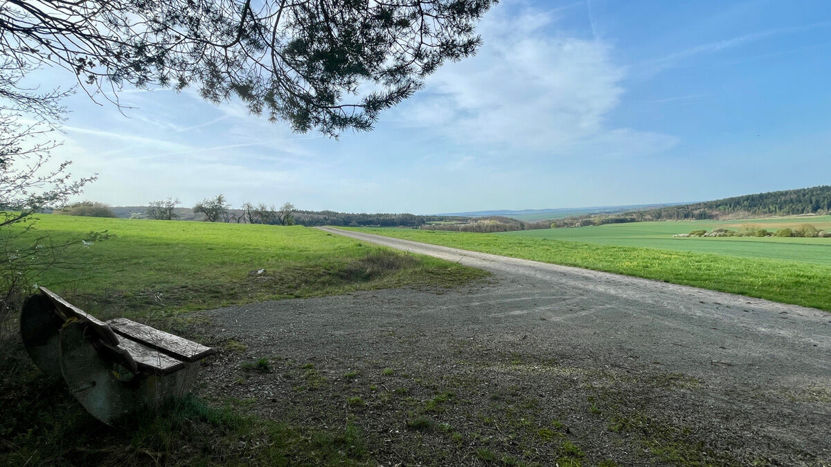
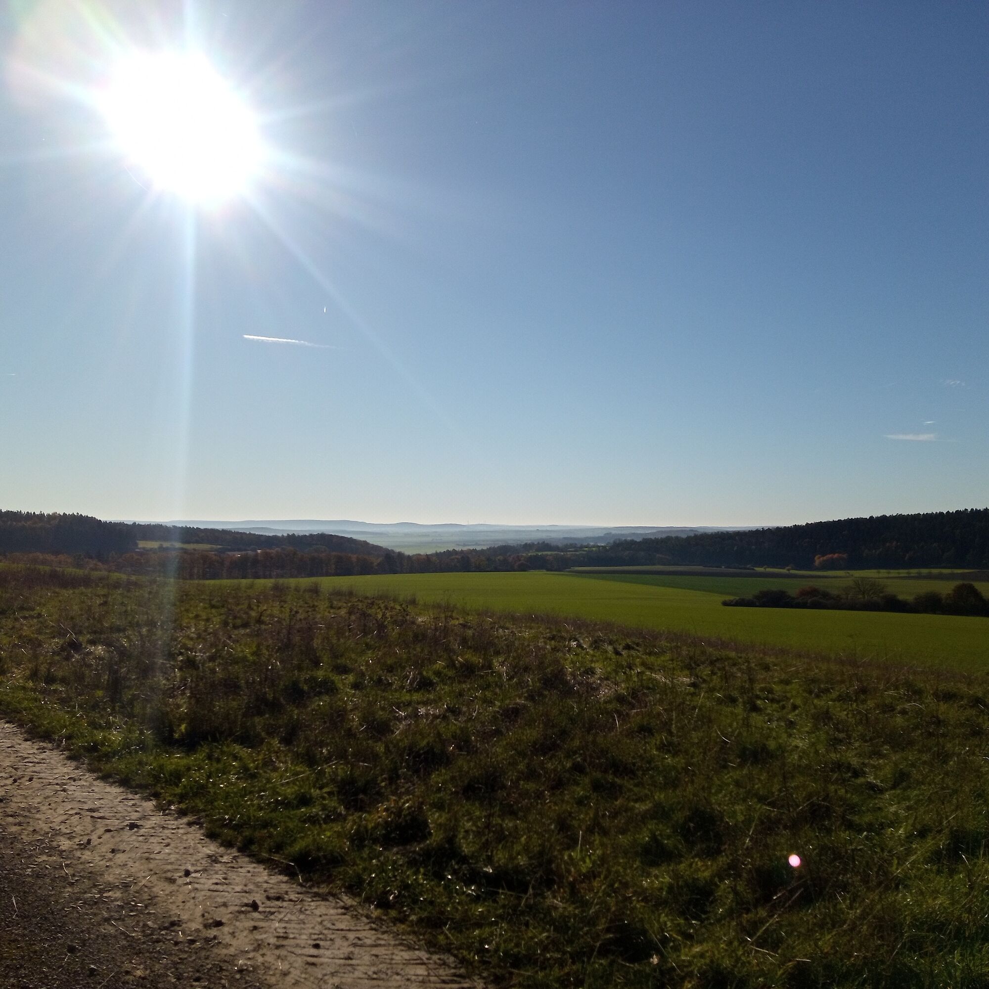
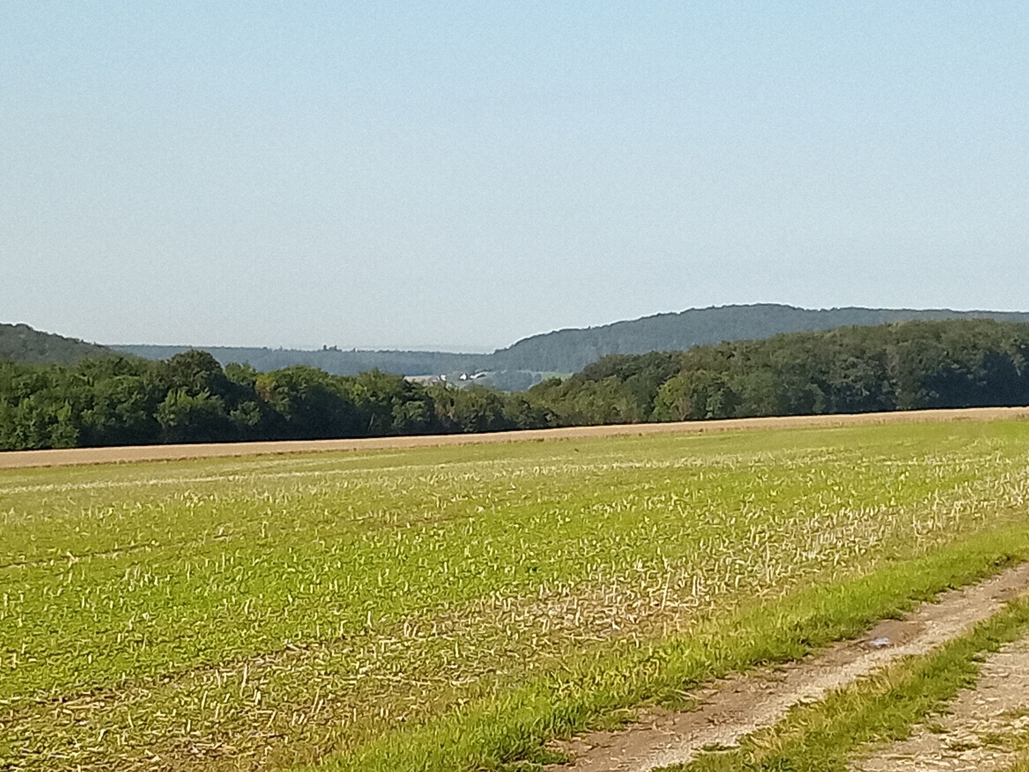

Start at the fountain house and follow the path straight out of the village. Following the signs towards "8 Linden", continue uphill to the resting place "View Jüchsetal". Return to the small junction and follow the paved path uphill along the Grabfeld cycling route. At a long fallen tree trunk, turn right and follow the alley, keeping right at the forest edge. Enter the forest through the left turn and follow the path to the right, then about a hundred meters further left. Here you encounter the picturesque "Tieftal" with its moss-covered slopes – follow the path to the right. Cross small alleys to the end of the path and then turn right to enjoy the view over Franconia along the forest edge. Follow the path back to Obendorf and reach the starting point at the fountain house.
Ano
Sturdy footwear
Light backpack
Drinking water
First aid kit
GPS navigation device or smartphone
Be cautious of crossing street traffic. Sections of the path are part of the municipal cycling network; therefore, attention should be paid to cyclists.
Please note the potential hazards of the forest along the hiking trail.
Coming from Meiningen via Untermaßfeld on the L3089, at the "Zwick" intersection take the 2nd exit to the right towards Jüchsen, Exdorf on the L1131. Drive through the village of Exdorf and then turn left towards 98631 Grabfeld OT Obendorf, Zum Schwanenberg 25.
Via the A71, exit Rentwertshausen, continue via K 60 to Queienfeld, Jüchsen. In Jüchsen turn right towards Exdorf on the L1131. Drive through the village of Exdorf and then turn left towards 98631 Grabfeld OT Obendorf, Zum Schwanenberg 25.
On weekdays, a bus runs several times a day from RÖmhild or Meiningen to Obendorf. The bus stops directly at the starting point.
Line 404 or Line 406 (on school days) of the Meininger Busbetriebs GmbH (MBB). The bus stop is located in the town center. The starting point is a 5-minute walk away.
Please use the Deutsche Bahn travel planner via this link for your travel planning and just enter your starting point and desired travel period: --> Arrival at Obendorf
Parking at the Obendorf community center.
Oblíbené prohlídky v okolí
- 5.0
Celtic circular trail - Vachdorf
světloTuristika 7.56 km - 5.0
"On the Celtic Experience Trail" - Vachdorf-Wachenbrunn - Hike
středníTuristika 14.8 km Circular route - From Themar via the Werra Burgen Steig to Kloster Veßra
středníTuristika 8.40 kmWater hiking on the Werra
středníKajak / Kánoe 22.7 kmHofteicher - Belrieth im Werratal - Rundwanderweg
středníTuristika 10.2 kmEichelberg circular route over Klauenberg
středníTuristika 6.46 kmSchwickershausen reservoir family hiking route - Grabfeld
středníTuristika 6.69 kmHike - "Green Belt Thuringia" - Stage 6 - Zimmerau to Irmelshausen
středníTuristika 24.5 kmKätzerode - Bibra - Grabfeld - Circular route
středníTuristika 8.66 km"Roland Werner Memorial Path" - Jüchsen - Grabfeld - Circular route
středníTuristika 9.38 km
Pěší turistika a stopování


Nenechte si ujít nabídky a inspiraci pro vaši příští dovolenou
Vaše e-mailová adresa byl přidán do poštovního seznamu.





