







Hiking - Rennsteig - Stage 4 - From Grenzadler to Allzunah

Úroveň obtížnosti: T1
⚠️ Warning: Currently, the Rennsteig near Oberhof at Stein 16 is diverted due to extensive construction work on the Oberhof water reservoir. The detour is expected to last until the end of September.
...â ï¸ Warning: Currently, the Rennsteig near Oberhof at Stein 16 is diverted due to extensive construction work on the Oberhof water reservoir. The detour is expected to last until the end of September.
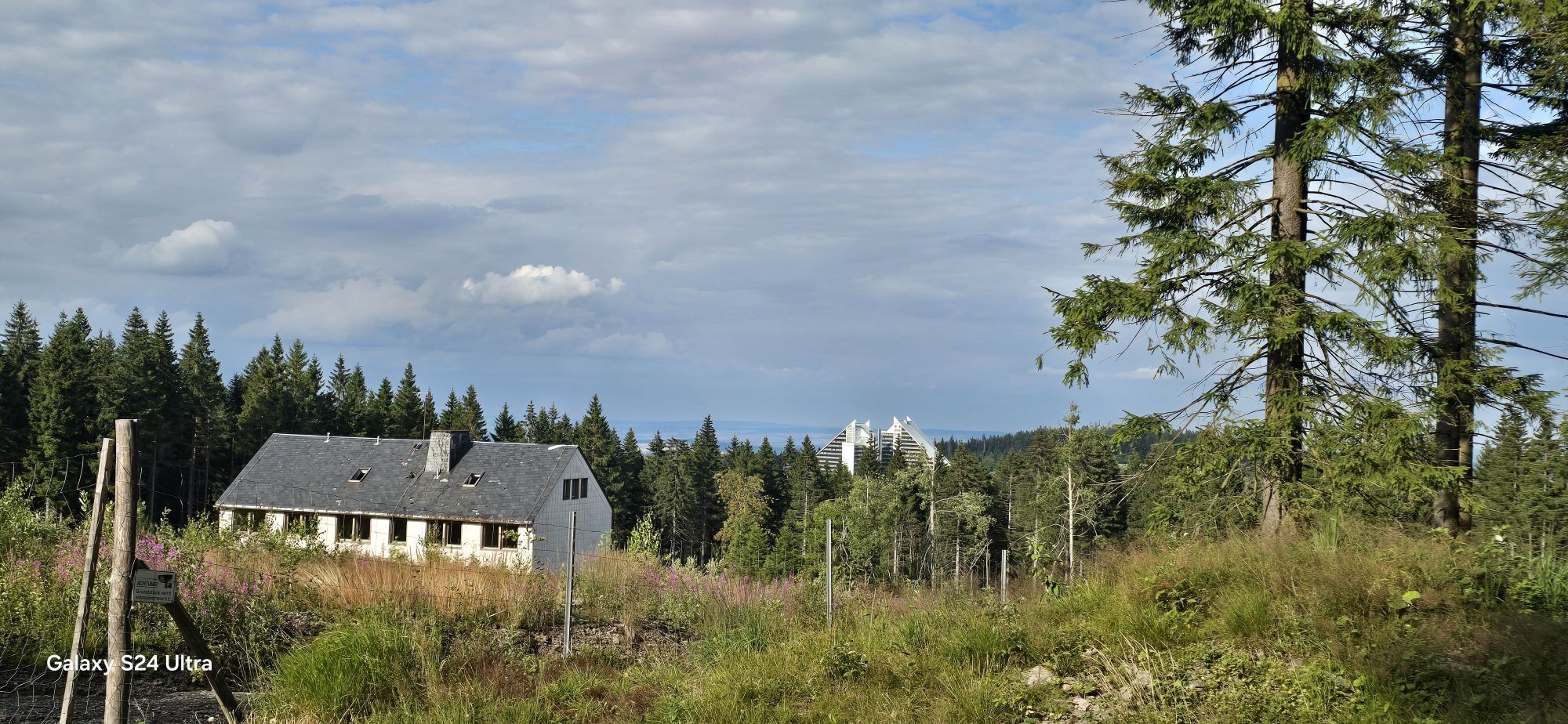
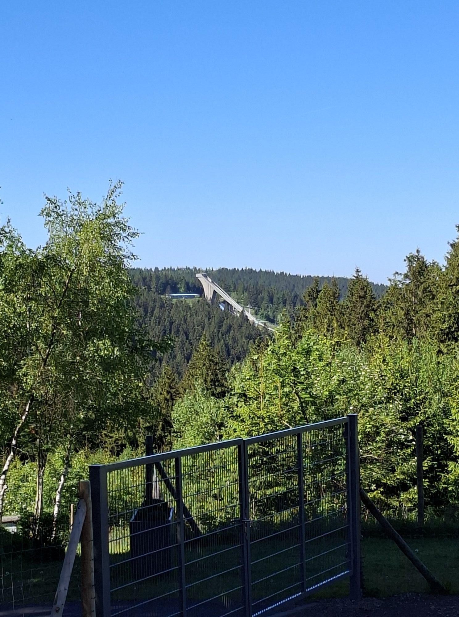
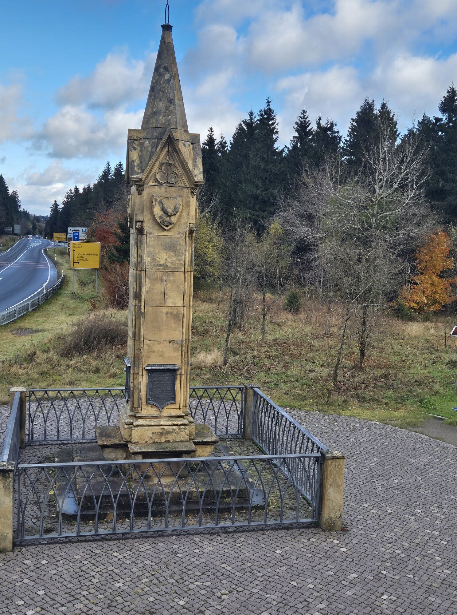
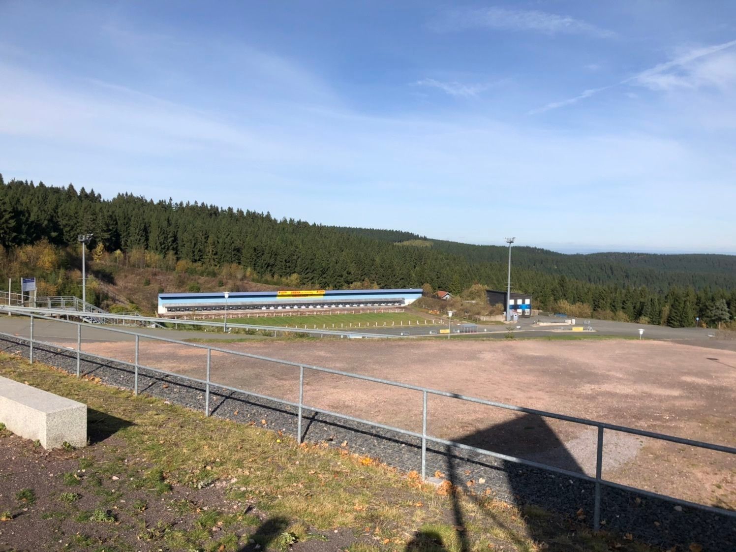
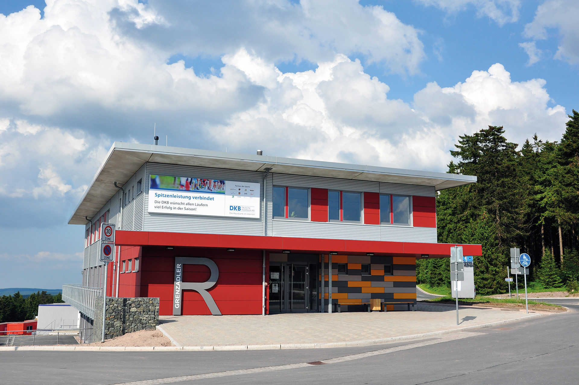
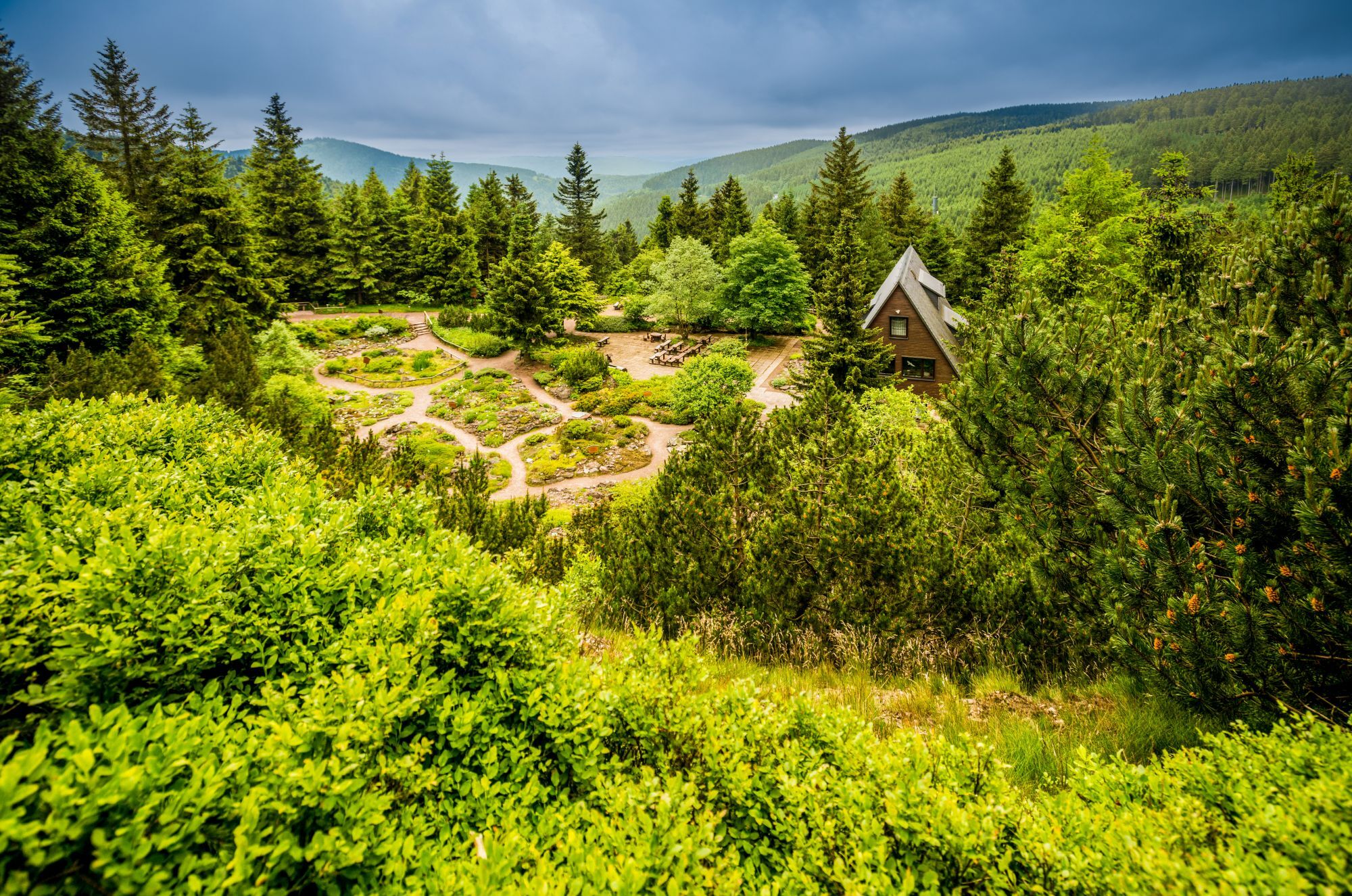
You start the route directly at Grenzadler near Oberhof at the Olympic base of the German biathletes and cross-country skiers. Passing the Schanzenbaude, head to Stein 16 and then further to the Rondel. You cross the connecting road from Oberhof and set off on the path to the Rennsteig Garden, the most species-rich and largest alpine garden in Germany. Botanical highlights from our regions can be found here on over 7 hectares.
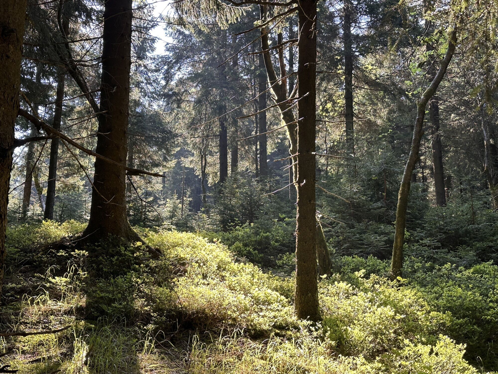
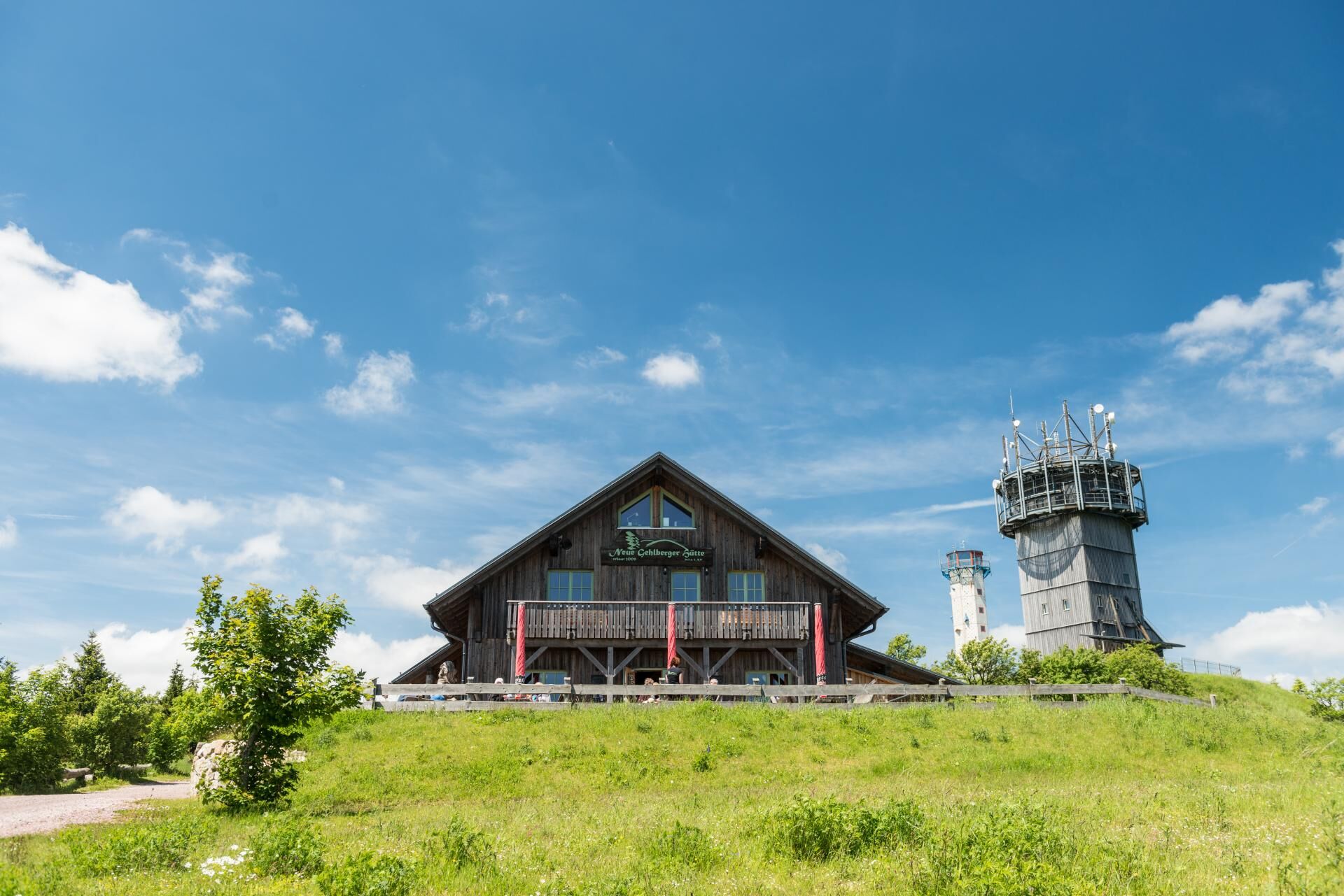
Directly under the Pfanntalskopf behind the Rennsteiggarten runs the tunnel of the Thuringian Forest Motorway. Briskly follow the Rennsteig south towards Suhler Ausspanne and soon reach the raised bog at the Großer Beerberg. It is the highest mountain of the Thuringian Forest. At 983 m it is 5 m higher than the nearby Schneekopf, but there is a viewing tower there that lets visitors climb to exactly 1001 m. The "Neue Gehlberger Hütte" also offers hikers and cyclists (Bett+Bike certified) the possibility of accommodation (reservation required).
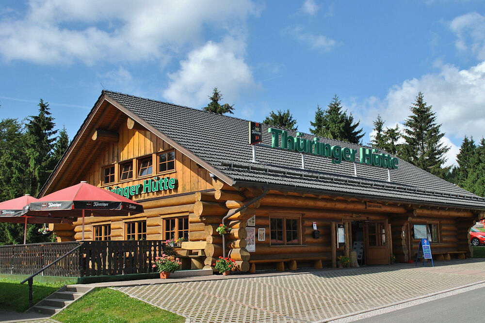
Past the mountain rescue at Adler and over the Rosenkopf, you soon reach a junction to the "Suhler Hut". Take time to visit the idyllic forest hut for a break. Via the small Rosenkopfstraße you return to the Rennsteig and soon reach the Schmücke. Here too you will find a snack bar with a nice beer garden for hungry hikers and cyclists. At the Schmücke, the Rennsteig turns south again and follows Schmückestraße.
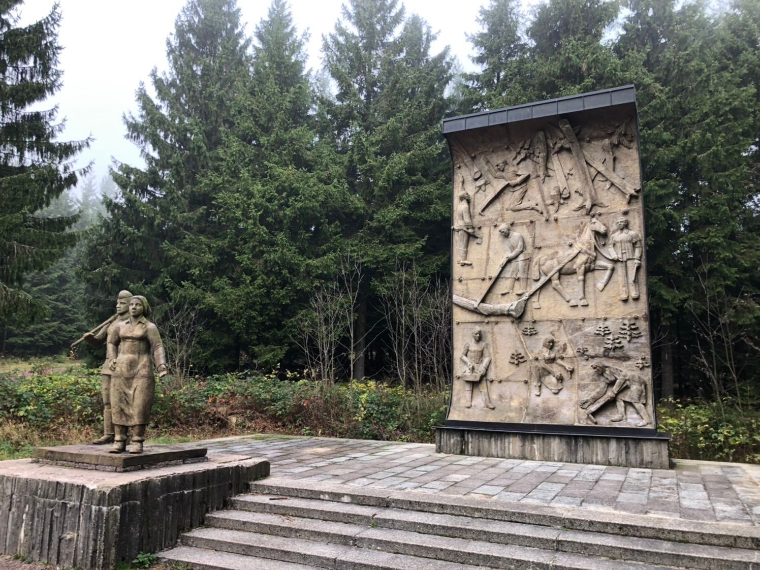
At Borstenplatz is the Herbert Roth monument. He composed the most famous song in the Thuringian Forest: The Rennsteig song.
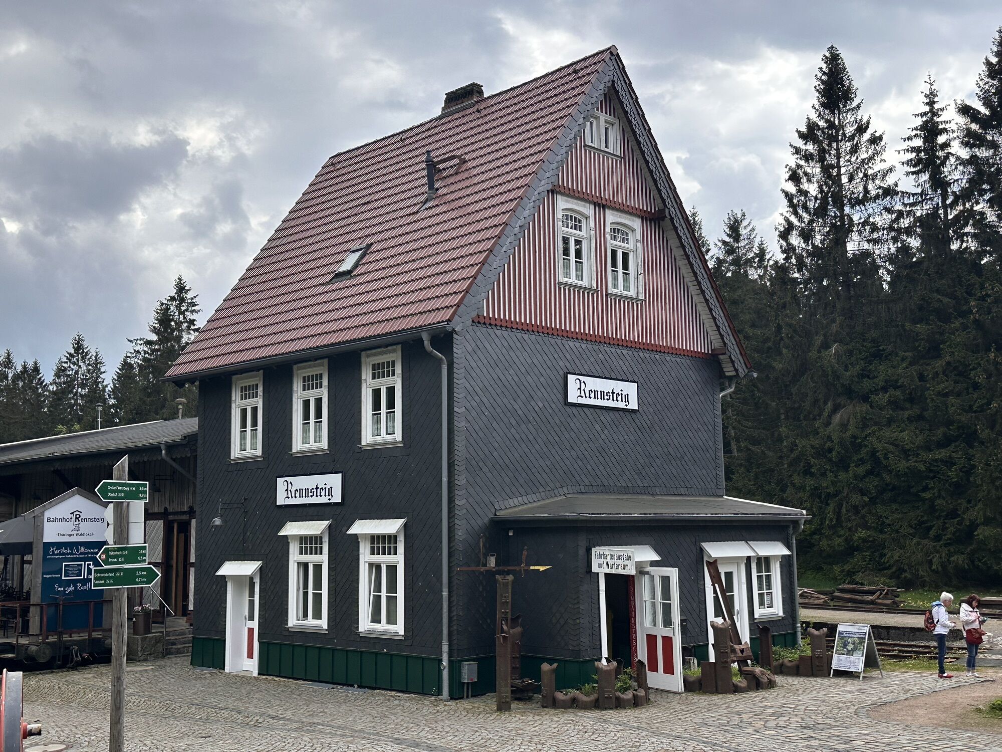
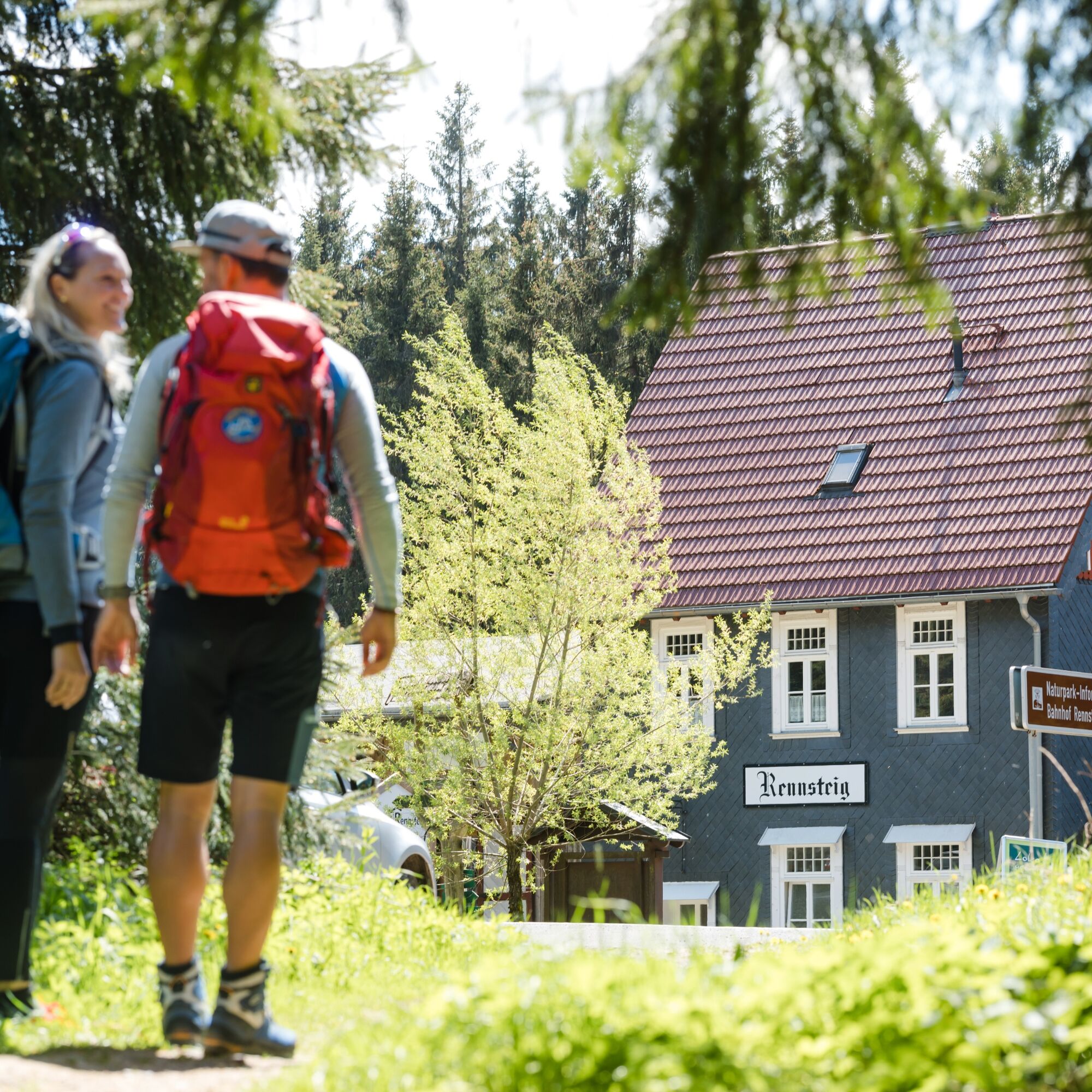
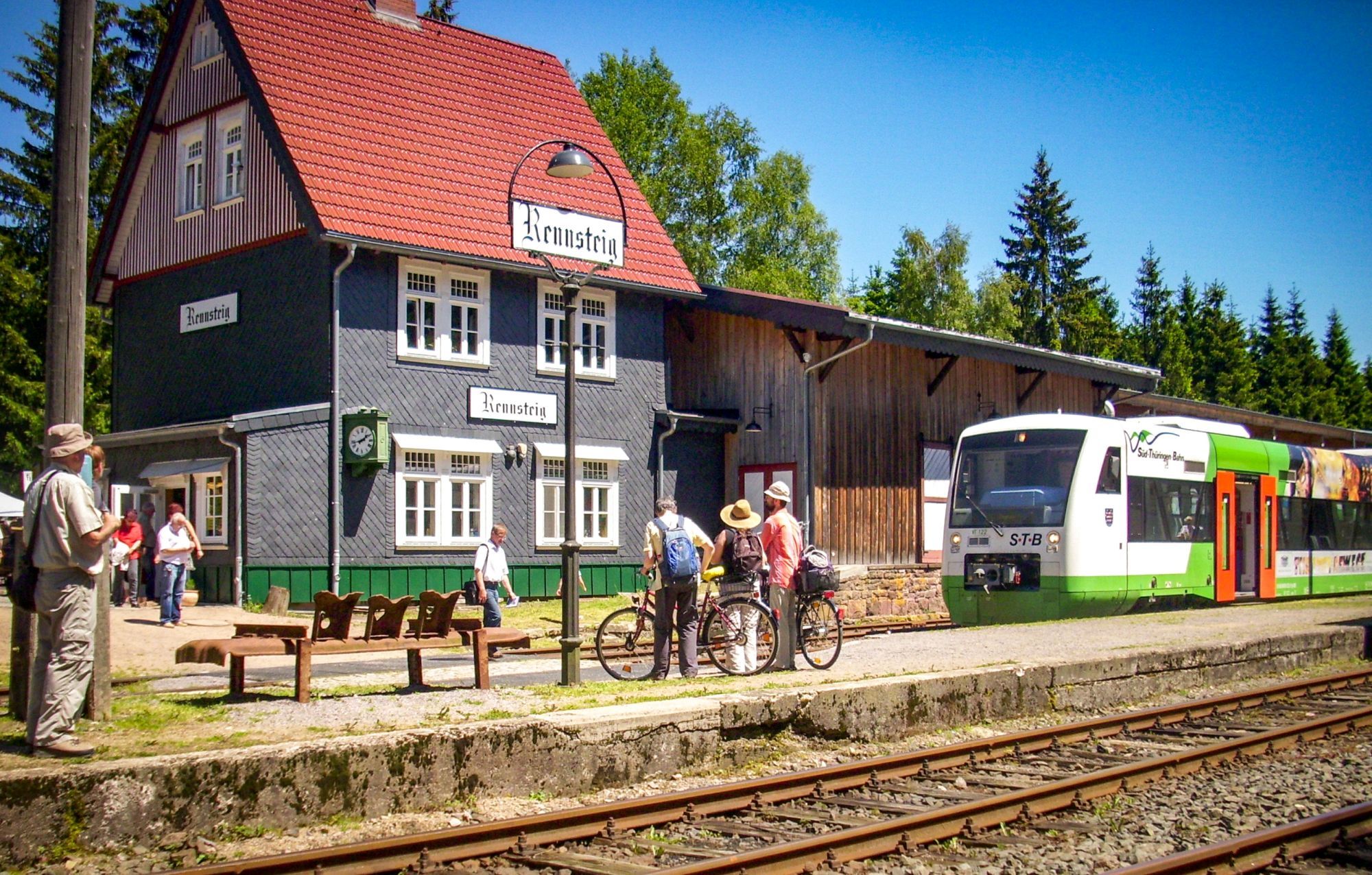
Past Mordfleck (picnic area) you soon come to the Upper Nahe spring. The small clearing in the middle of the Thuringian Forest is a wonderful place to rest. The path stretches a little to the Rennsteig crossing, but once you arrive at the small Rennsteig Station, the local café invites you to take a break.
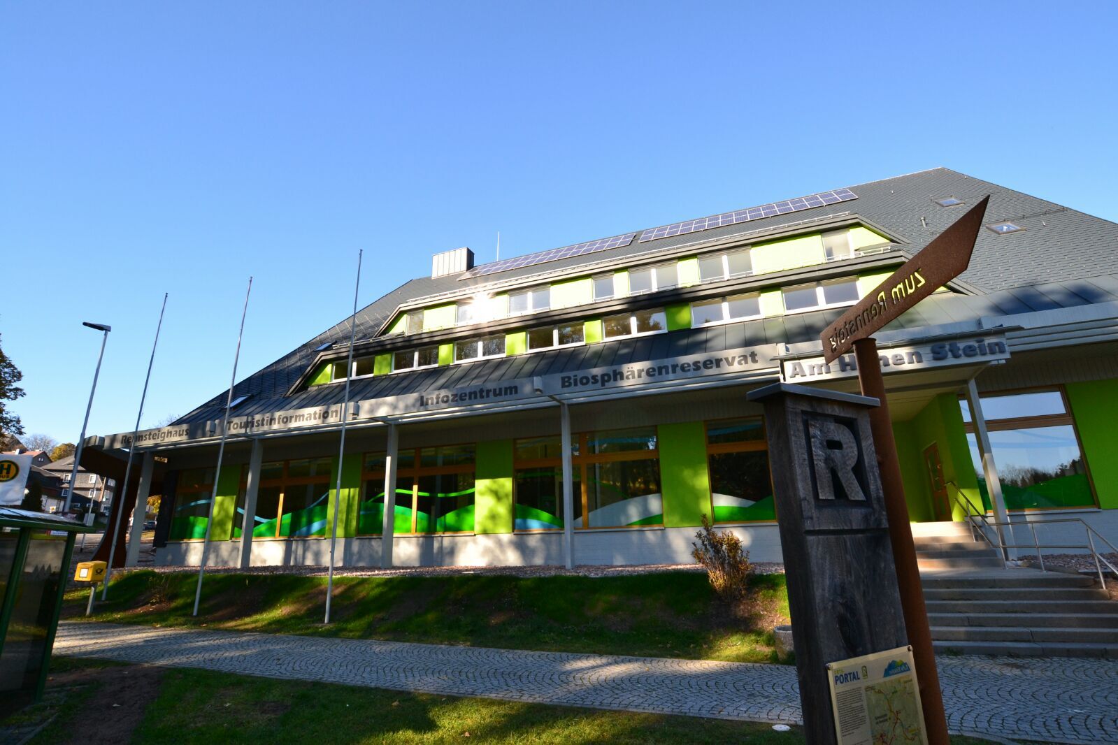
Those looking for a refreshment will find in the center of Schmiedefeld - a district of Suhl - the Rennsteig house. Here hikers and cyclists on the Rennsteig have showers available. Furthermore, the information center of the UNESCO Biosphere Reserve Thuringian Forest is located here.
The last kilometers of the Rennsteig stage lead past the Waldhotel "Rennsteighöhe" with bunker museum before continuing to Allzunah.



Grenzadler - Rondel - Rennsteiggarten - Suhler Ausspanne - Plänckners Aussicht - Schmücke - Borstenplatz - Mordfleck - Rennsteig Station - Allzunah
Ano
Sturdy footwear, rainwear, water supply, GPS device, first aid kit
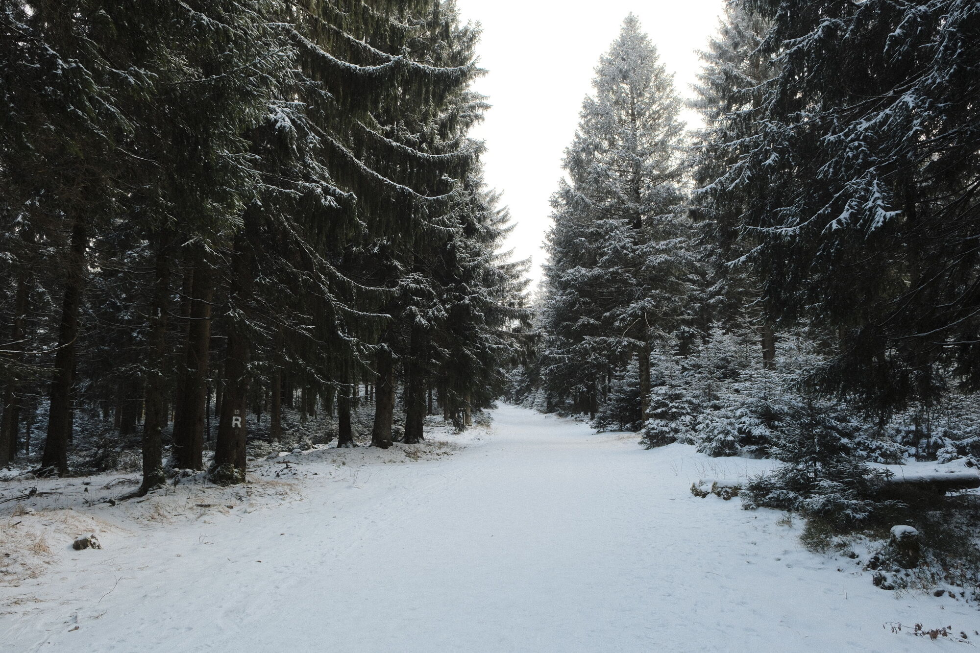
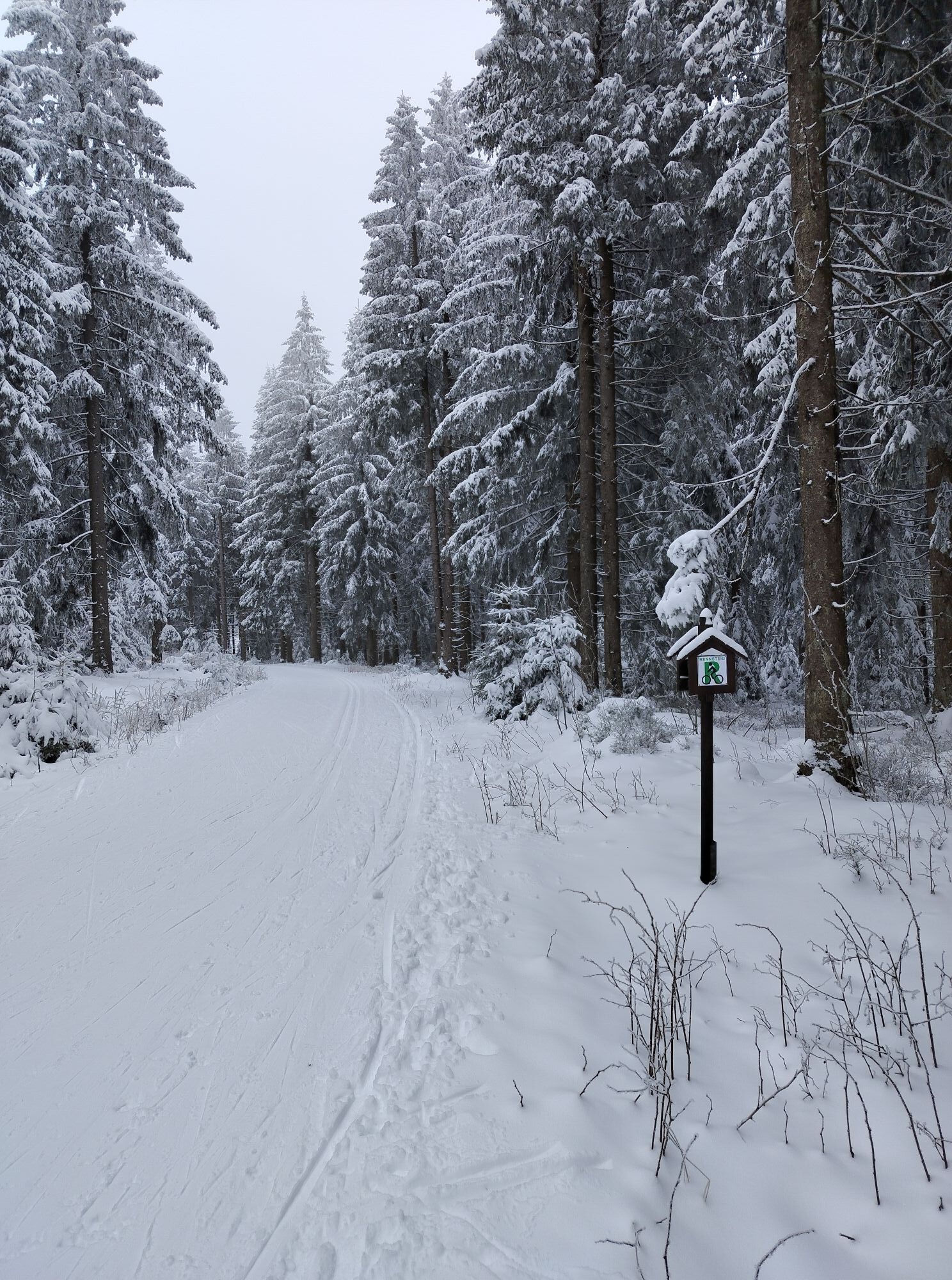
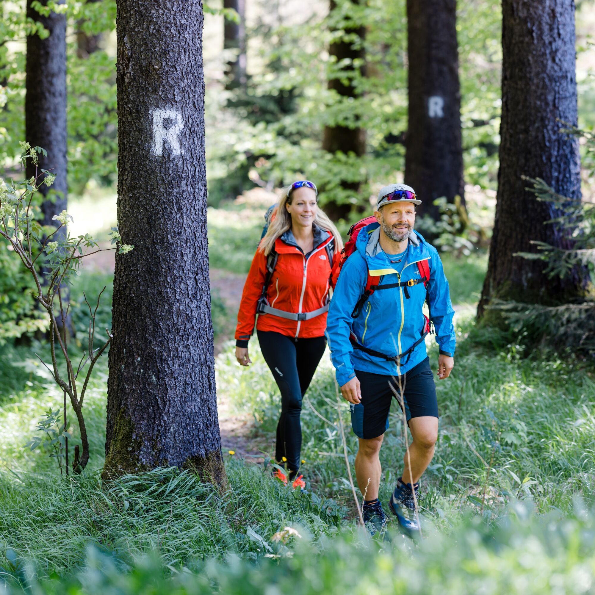
Always follow the marked hiking trails on your hike. The Rennsteig is continuously marked by a white R.
Coming from the A71 take exit 18 (Oberhof) and continue on L3247 towards Oberhof. From the country road, take the first opportunity to exit in Oberhof (town center) and continue on Tambacher Straße towards the ski arena and sports facilities.
You can reach Grenzadler from the direction of Zella-Mehlis (Deutsche Bahn) with the bus line 422 via Oberhof bus station. Simply use the Deutsche Bahn travel information to plan your trip.
From Allzunah, on weekends, bus lines 300/307/400/422/B run towards Oberhof bus station. On weekdays, the town is connected by the Ilmenau bus service and line 300 towards Suhl (Deutsche Bahn) and by bus lines 400/422 to Oberhof.
RETURN TO OBERHOF:
You can call up a direct connection search from Allzunah to Oberhof here:
Travel information Allzunah → Oberhof (bus station)
The time parameters are always chosen to be current. Change the time specifications as you wish and enter your exact travel date for a secure connection search.
The average travel time back to Oberhof varies greatly, as there is no direct connection: route via Schmiedefeld and Suhl > 2.5 hours
You can park directly at Grenzadler. (Google NAV point)
T1
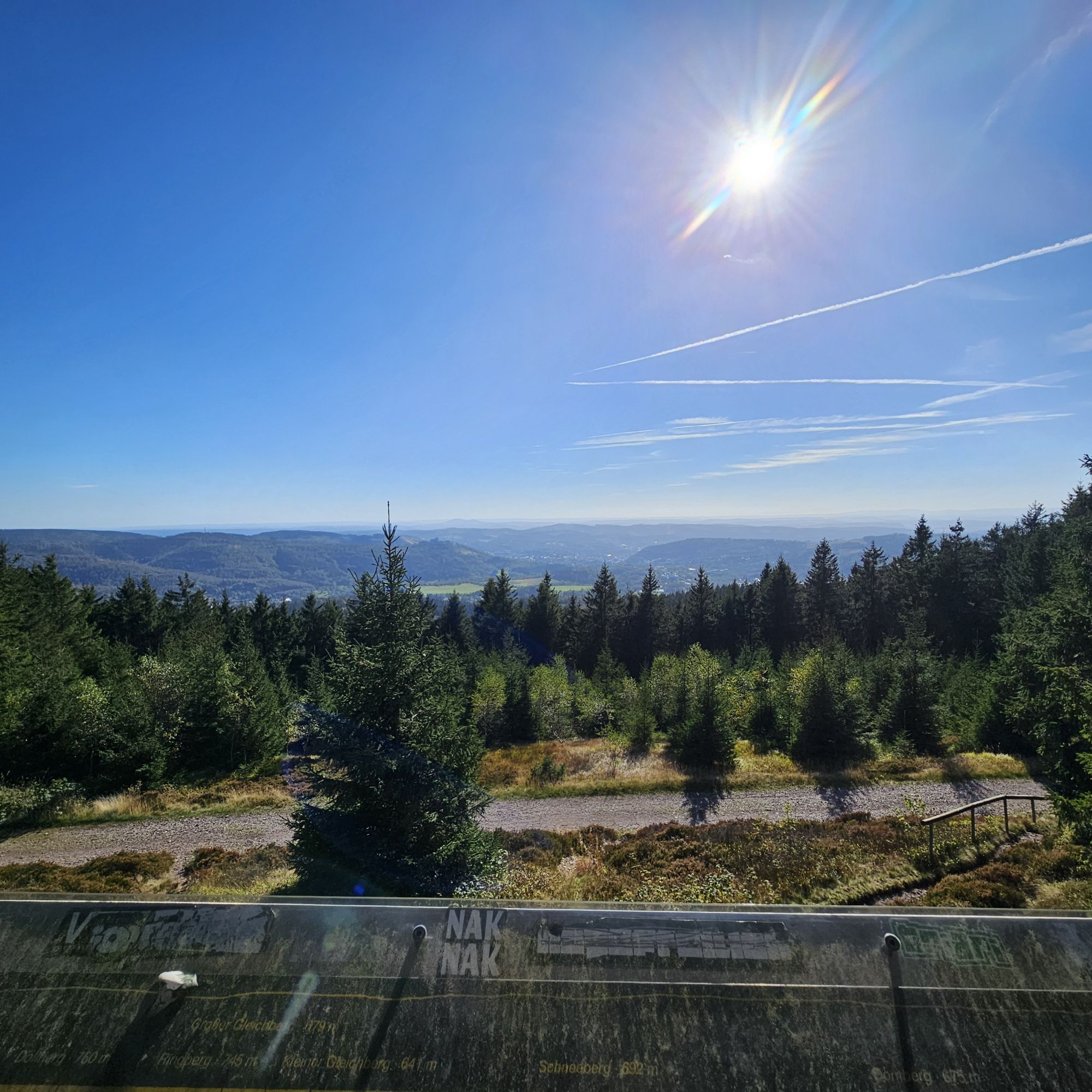
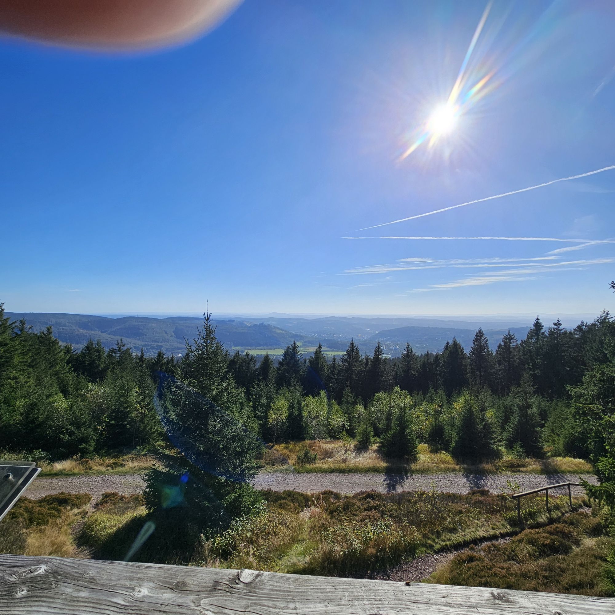
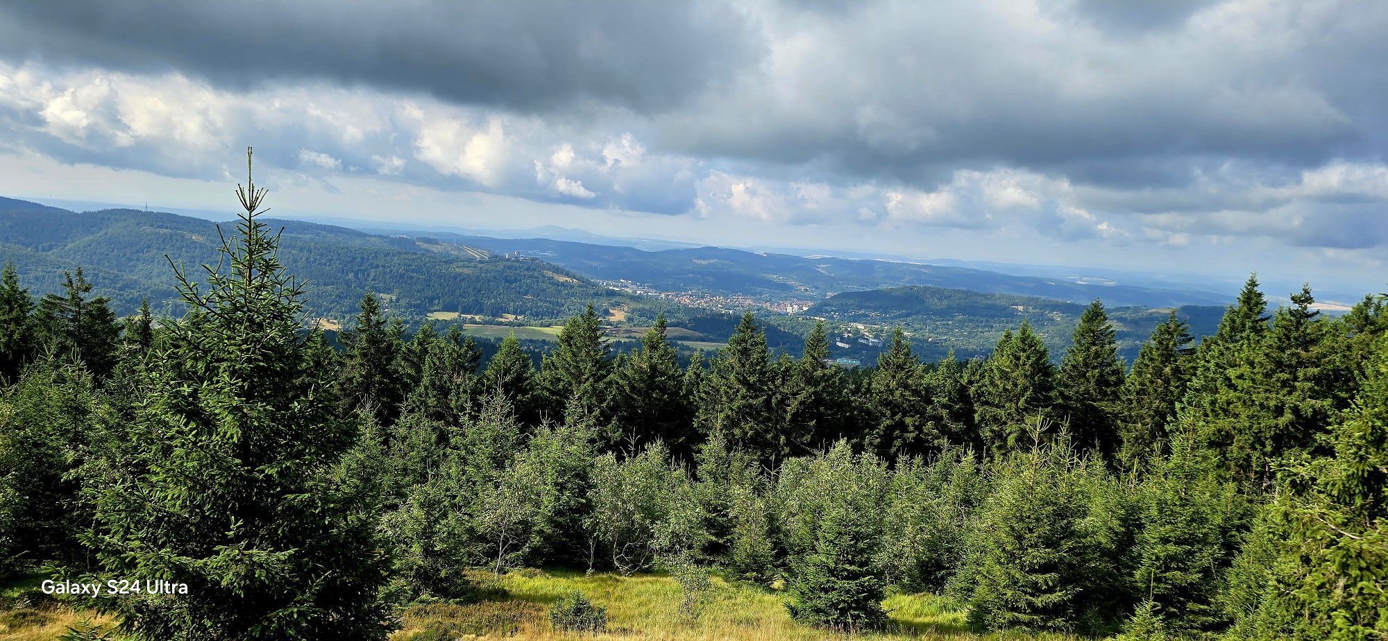
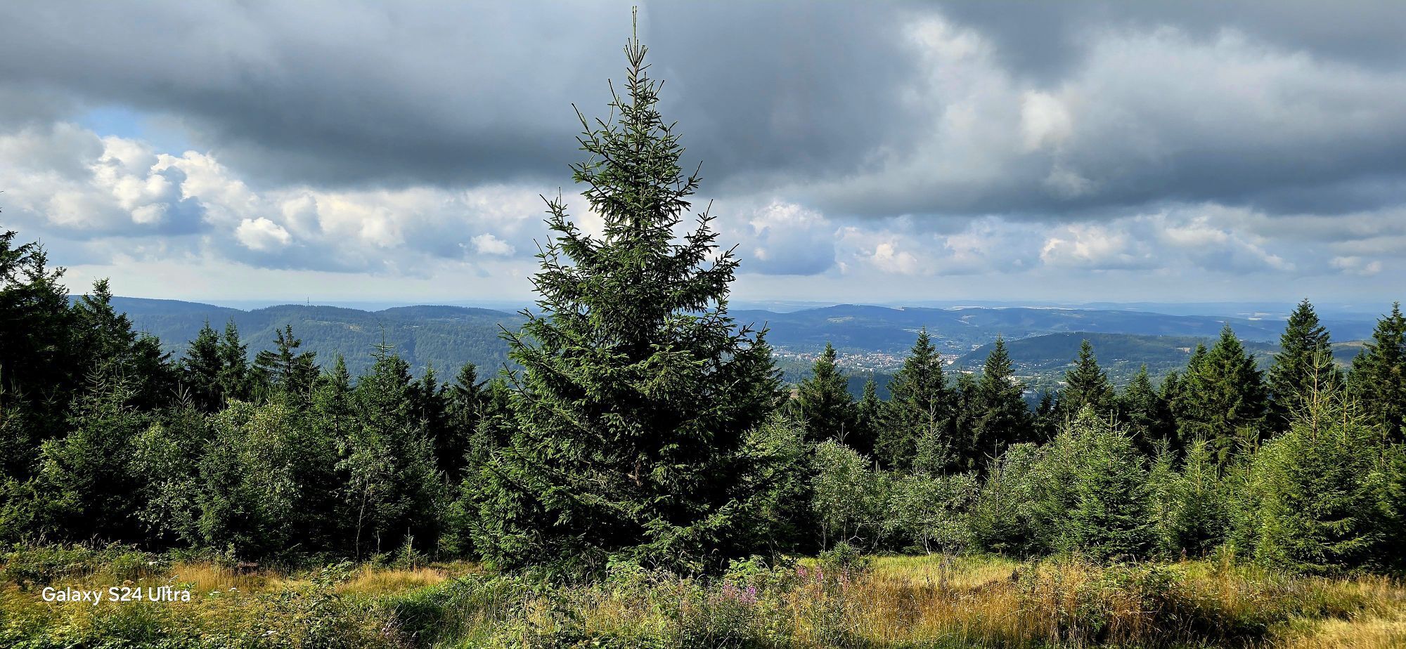
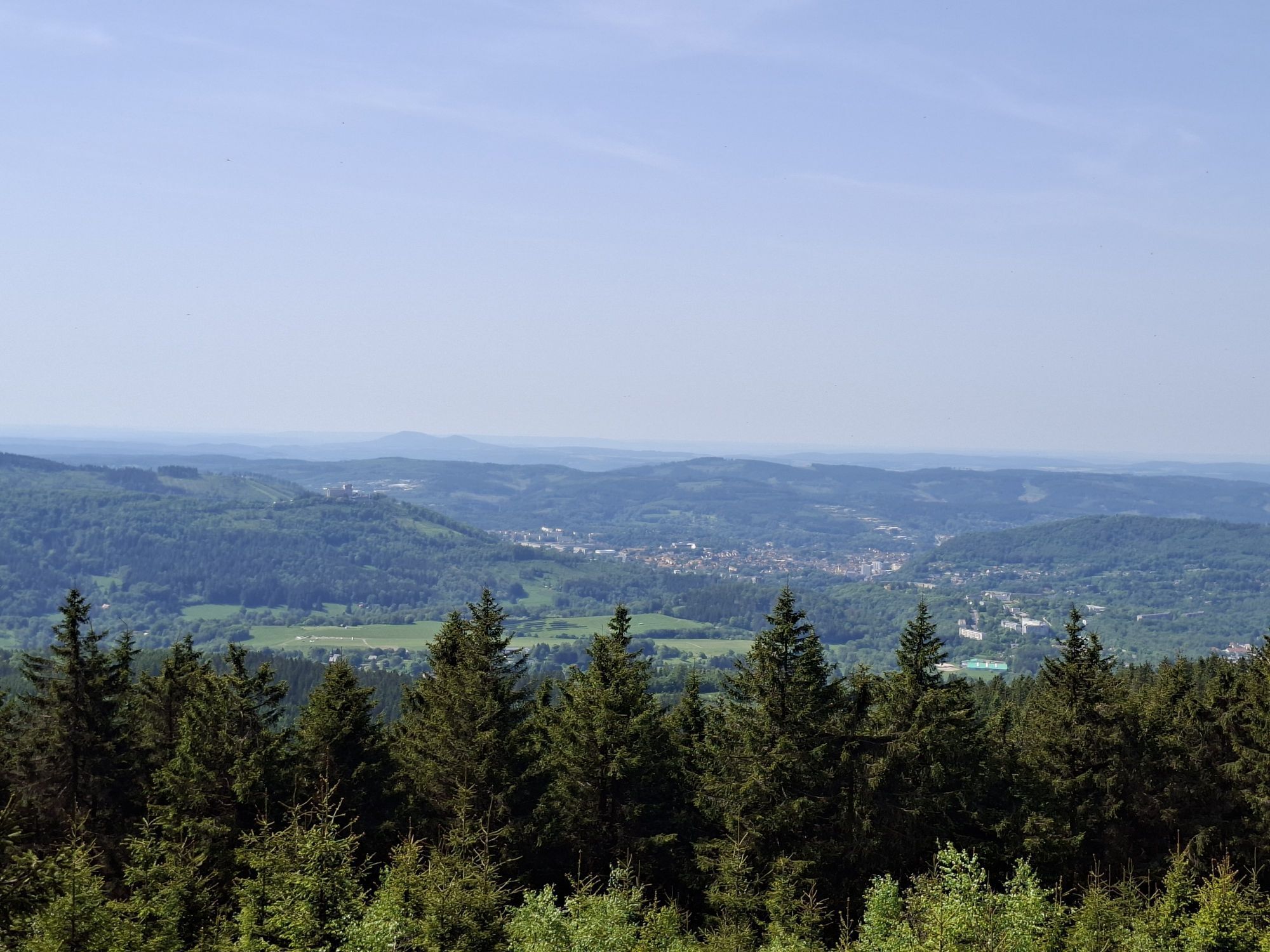
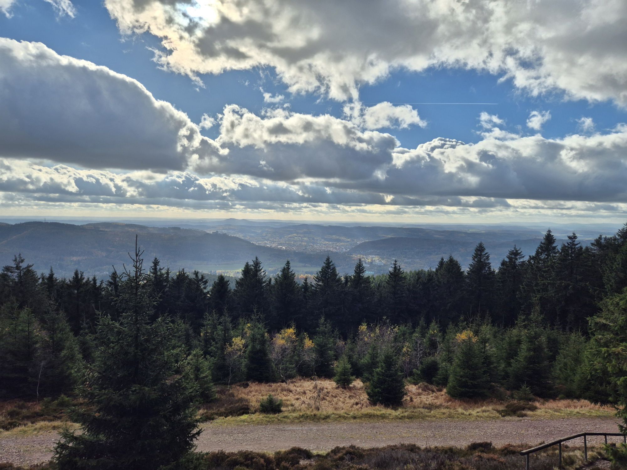
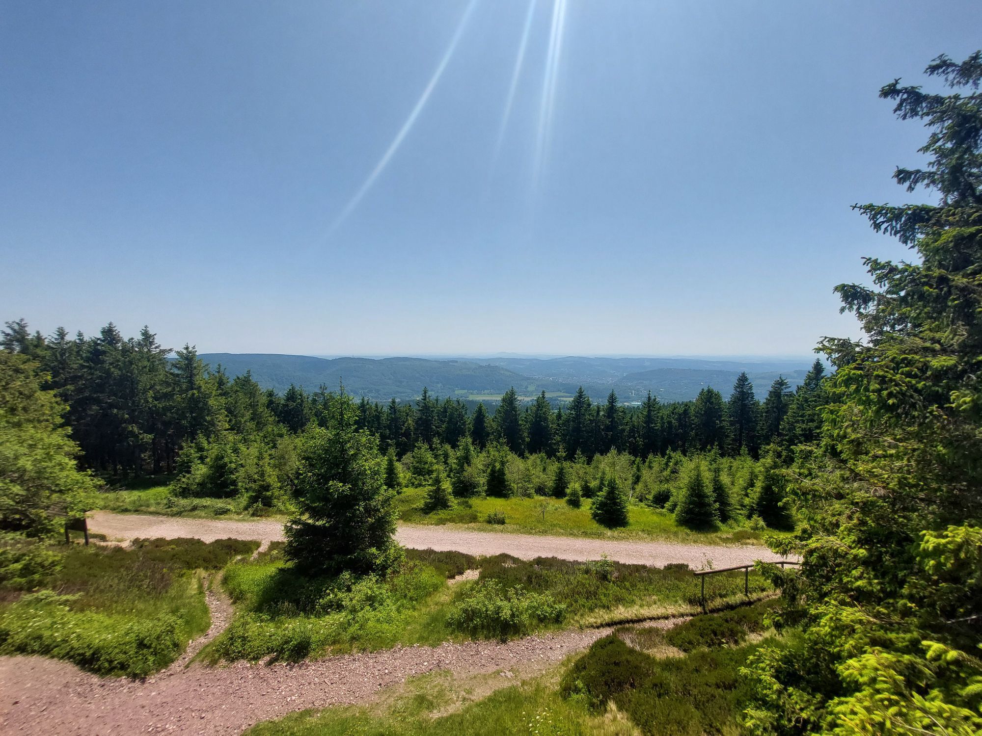
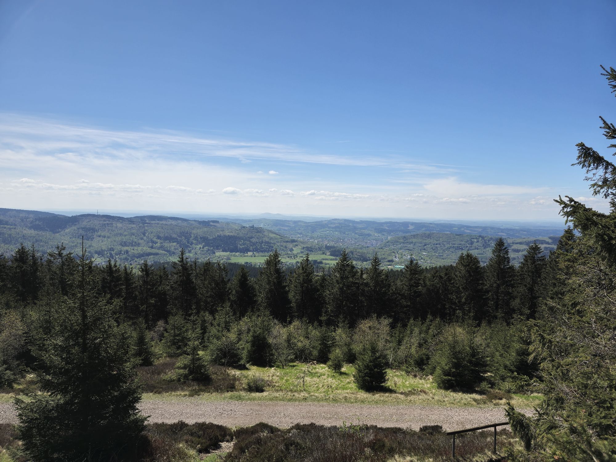
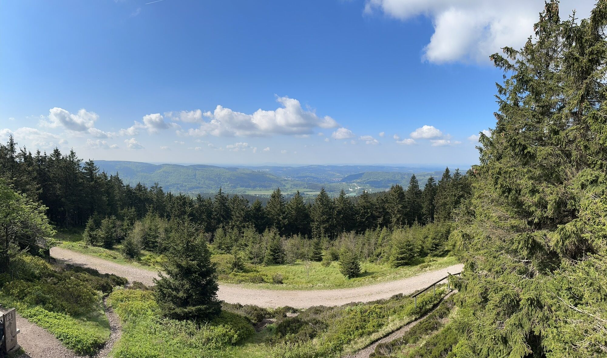
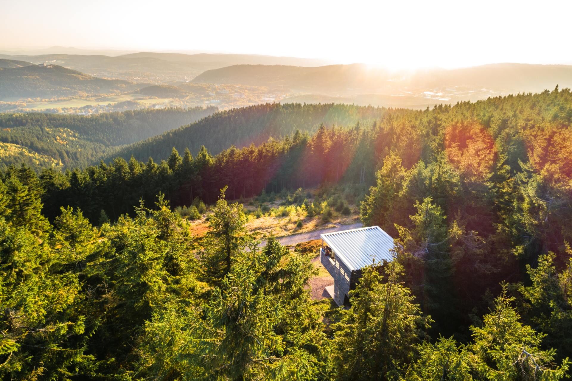
From Plänckners Aussicht below the Großer Beerberg, you have a fantastic view of Suhl and Zella-Mehlis in the distance.

Webové kamery z prohlídky

Oblíbené prohlídky v okolí
- 4.3
Rund um die Ohratalsperre
světloTuristika 14.5 km - 4.7
Hike over the Rennsteig & the Schneekopf to the Schmücke
heavyTuristika 21.0 km - 3.0
Circular hike - "4 ponds hike" Neustadt am Rennsteig - Thuringian Forest
heavyTuristika 12.6 km - 4.0
Circular hiking route "Oberschönauer Felsenwanderung" - Steinbach-Hallenberg - Thuringian Forest
heavyTuristika 12.0 km - 3.8
Rundweg Talsperre
středníJízda na kole 14.5 km The Rennsteig - long-distance hiking trail from Hörschel to Blankenstein - Thuringian Forest
heavydálková pěší trasa 169.0 km- 4.0
Zu den Schanzen im Kanzlersgrund
středníTuristika 9.58 km - 5.0
Hiking - Summit hiking trail - Suhl-Goldlauter - Thuringian Forest
heavyTuristika 32.1 km - 4.5
Circular hike to Bärenstein & Pfanntalsteich
středníTuristika 9.10 km - 4.2
TOP 5 - circular hiking route - "Forsthaus Sattelbach" - Oberhof
světloTuristika 3.67 km
Pěší turistika a stopování


Nenechte si ujít nabídky a inspiraci pro vaši příští dovolenou
Vaše e-mailová adresa byl přidán do poštovního seznamu.





