






Nature park route »Crocker Kesseltal« ↻ 7.6 km

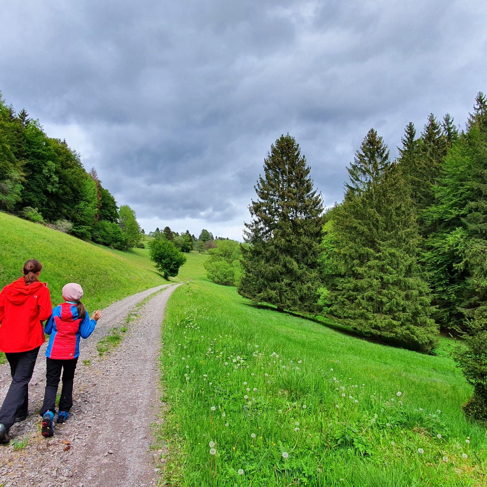
The Weisa bubbles out at the nature park gate from the Thuringian Slate Mountains, eroding the limestone and sandstone plateau running parallel to the mountain range. The mountain stream created a richly...
The Weisa bubbles out at the nature park gate from the Thuringian Slate Mountains, eroding the limestone and sandstone plateau running parallel to the mountain range. The mountain stream created a richly structured natural area.
The natural path leads up to the 525-meter-high Irmelsberg with its remarkable St. Veit parish church. Going down into the village, you pass along ancient hollow ways on the church path, past abandoned coal mines. Crock is a village first mentioned in documents in 1152 as Cracte. The hiker finds old village buildings there, along with a restaurant and shops.
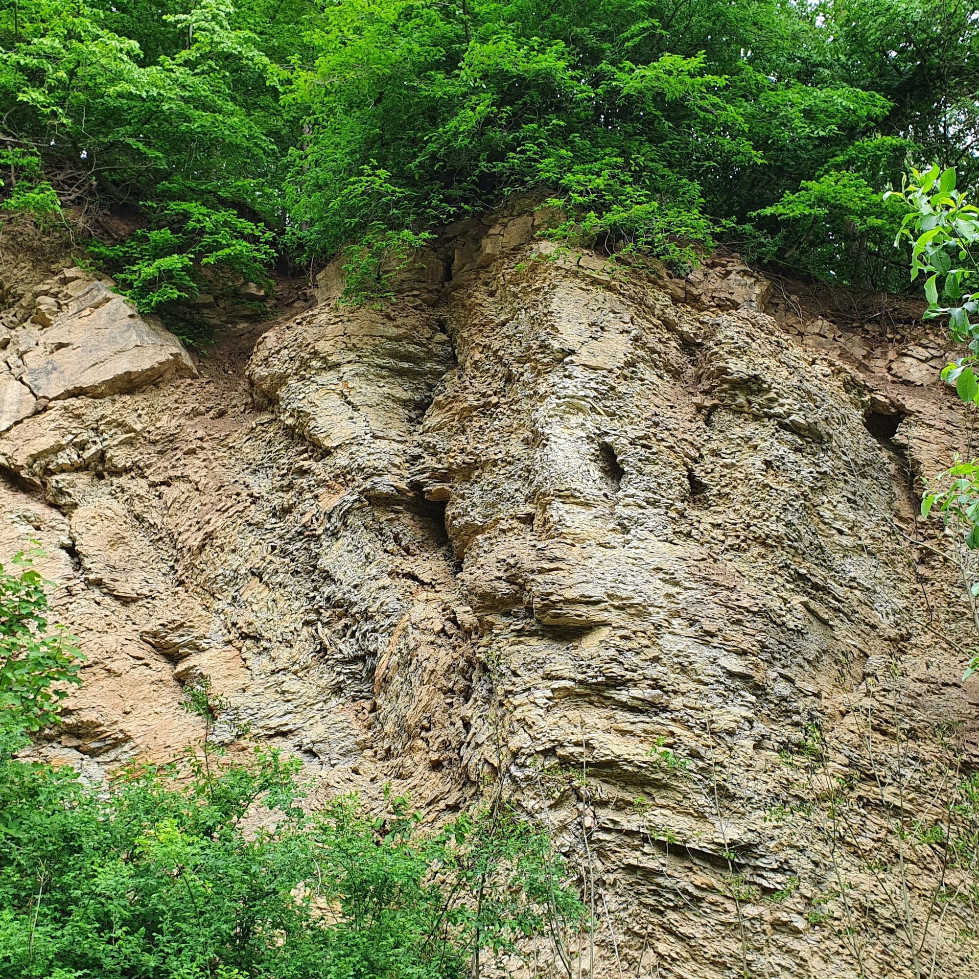
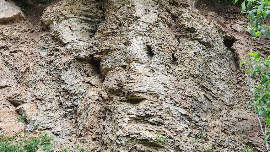
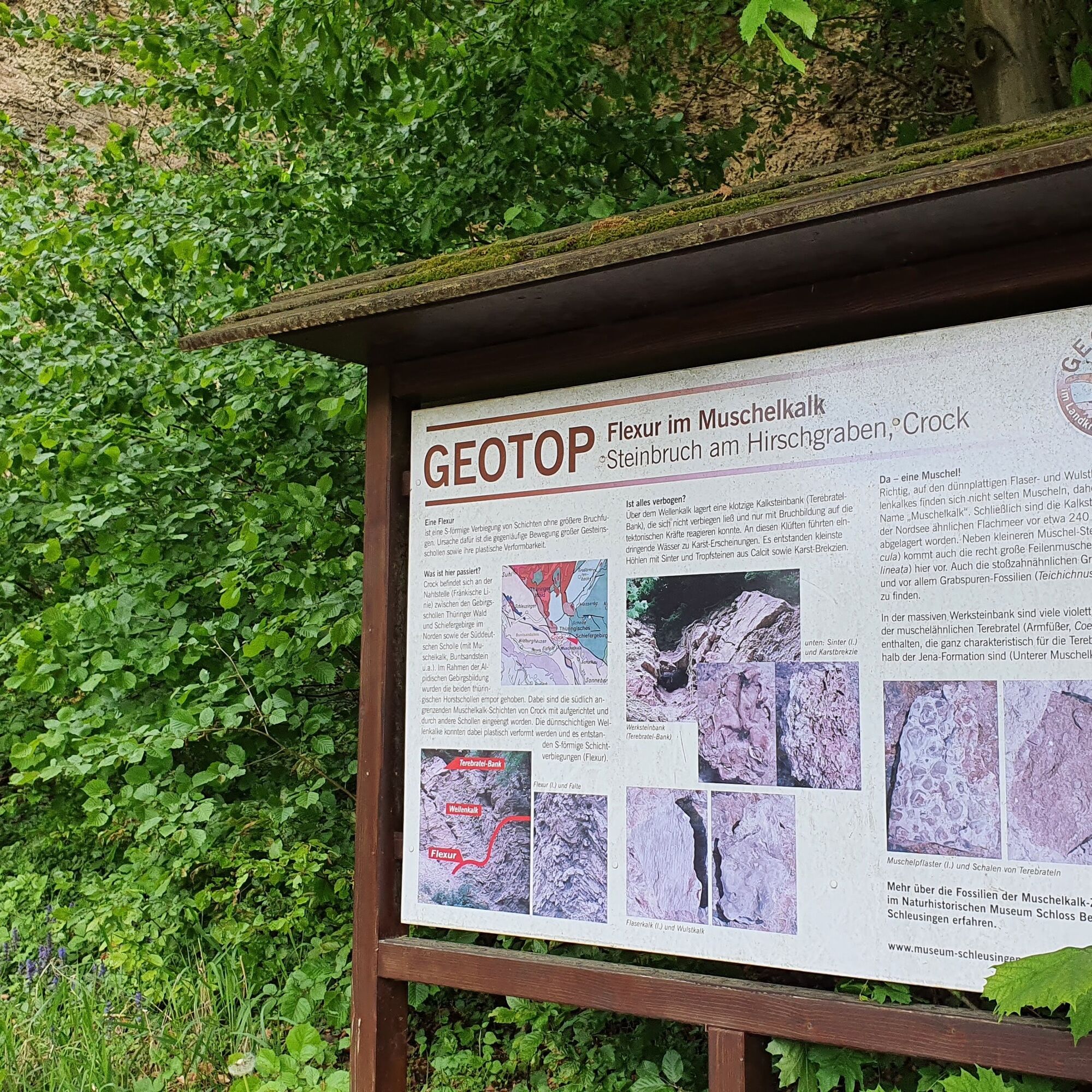
The next rewarding view is offered by the limestone quarry on Crocker Berg (517 m) towards the southern edge fault of the Thuringian Slate Mountains, the Franconian Line. This separates the rocks of the Triassic from the slate mountain rocks. At the tectonic fault zone, the Muschelkalk layers are tilted. This special feature can be seen on the northern edge of the village along the path.


Ano
Ano
Sturdy footwear
Rainwear
First aid kit
GPS navigation device or smartphone
Note the typical dangers of the forest! Walking is at your own risk!
Because of the risk of slipping, avoid stepping on moss-covered stones and rocks, and watch out for deadwood, branches, and fallen trees.
Crock can be reached by bus lines from Eisfeld station. Simply use the travel information from the Deutsche Bahn at the following link and enter your desired starting point and travel period for trip planning:
You can park directly at the nature park gate hiking parking lot (Google NAV point)
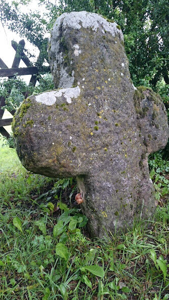
At the "Steingrübel", a high-lying dry grassland area, you can rest with a good view. From there, you have a good view of the further route to the playground at the sports field and on to one of the two Crock stone crosses. It is possible that the sandstone cross was erected because a Johannes Geyer froze to death here on December 22, 1694, on the way to Eisfeld.
Oblíbené prohlídky v okolí
-
5.0
Naturlehrpfad Gießübler Schweiz
středníTuristika 7.99 km -
3.8
Rundweg Talsperre
středníJízda na kole 14.5 km -
5.0
Circular hiking route - TOP 1 - Werra Source - Masserberg - Thuringian Forest
středníTuristika 5.94 km -
5.0
Rundtour Staudamm
světloTuristika 3.91 km -
Circular route - "When Rennsteig meets the Schwarzatal panorama path" - Limbach
středníTuristika 9.68 km -
4.0
Circular hiking trail - TOP 4 - Masserberg - Fehrenbach Switzerland - Thuringian Forest
středníTuristika 11.5 km -
5.0
Circular hiking route - "Panorama View" - Schönbrunn - Thuringian Forest
středníTuristika 9.79 km -
Circular route - TOP 3 - hike with a view - Masserberg - Thuringian Forest
středníTuristika 17.3 km -
4.0
Circular hiking trail - TOP 2 - Masserberg - "Cultural Experience" - Friedrichshöhe - Thuringian Forest
středníTuristika 15.2 km -
5.0
Circular hiking trail - "Frankenblick" - Schönbrunn - Thuringian Forest
středníTuristika 12.3 km
Pěší turistika a stopování


Nenechte si ujít nabídky a inspiraci pro vaši příští dovolenou
Vaše e-mailová adresa byl přidán do poštovního seznamu.





