







GeoRoute 7 - "Friedrichroda Mining Trail" - UNESCO Global Geopark Thuringia Inselsberg - Drei Gleichen

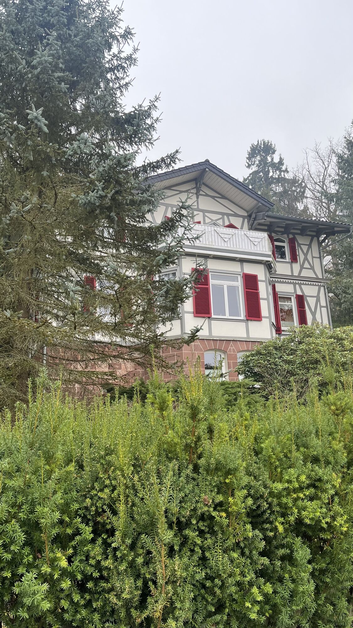
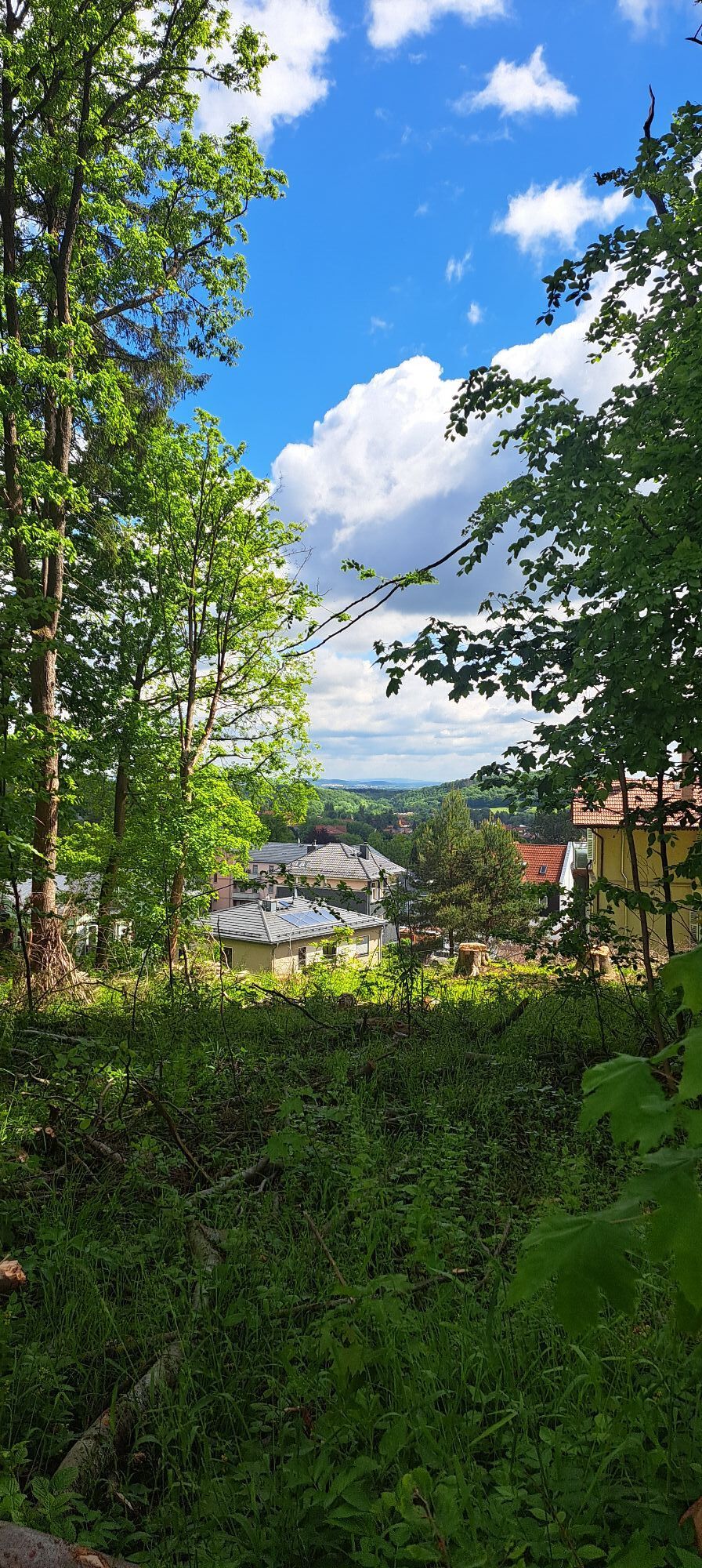
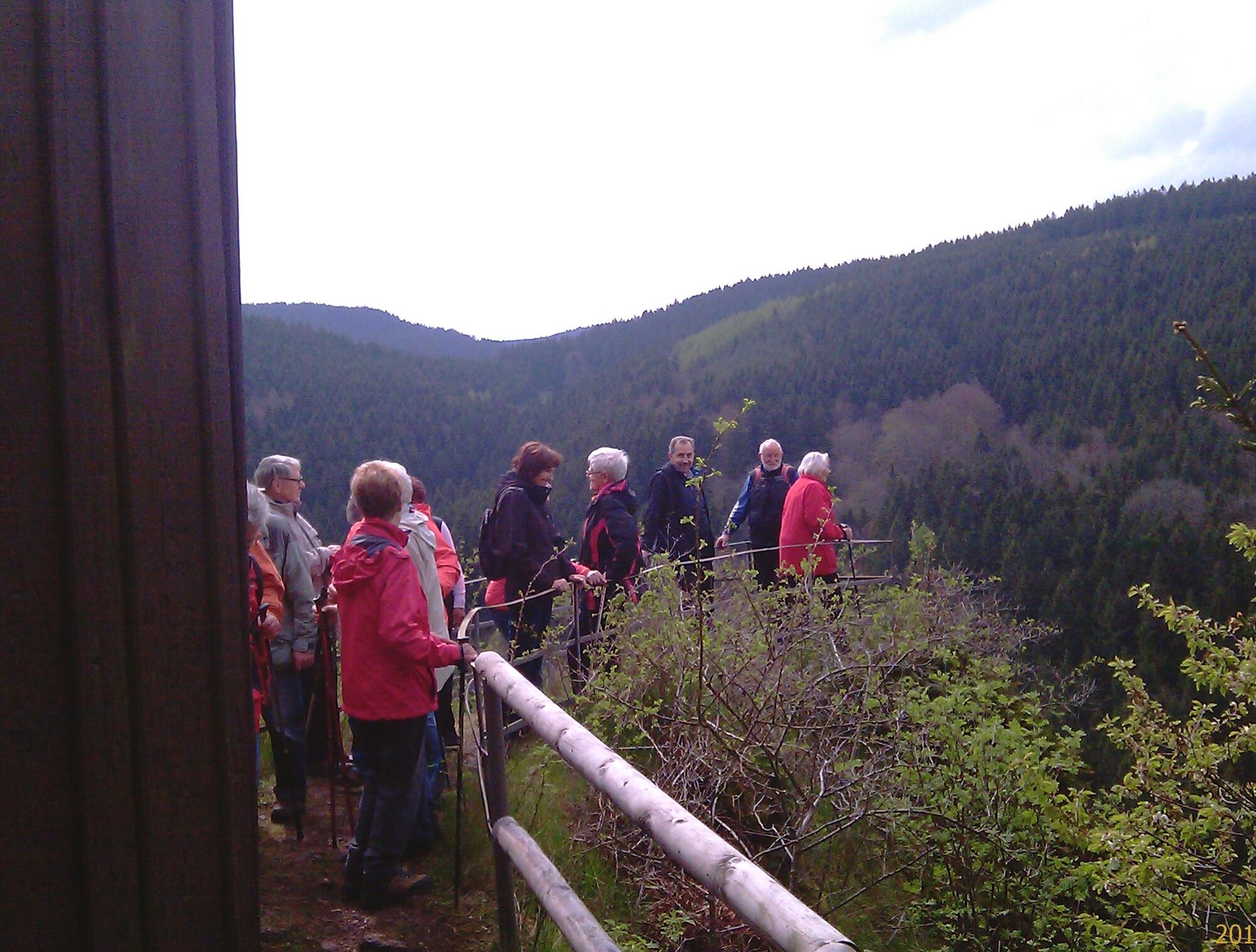
The Friedrichroda Mining Trail leads you over the local mountain of the town Friedrichroda, the 572 m high “Gottlob”. From there, but also from the Klinkenstein, hikers enjoy a wonderful view over the...
The Friedrichroda Mining Trail leads you over the local mountain of the town Friedrichroda, the 572 m high “Gottlob”. From there, but also from the Klinkenstein, hikers enjoy a wonderful view over the town and the western Thuringian Forest. The GeoRoute passes the Dodels and Kaempf promenades and goes through the valley of the “Schilfwasser”. Along the way, you will also pass several springs and curative drinking fountains.
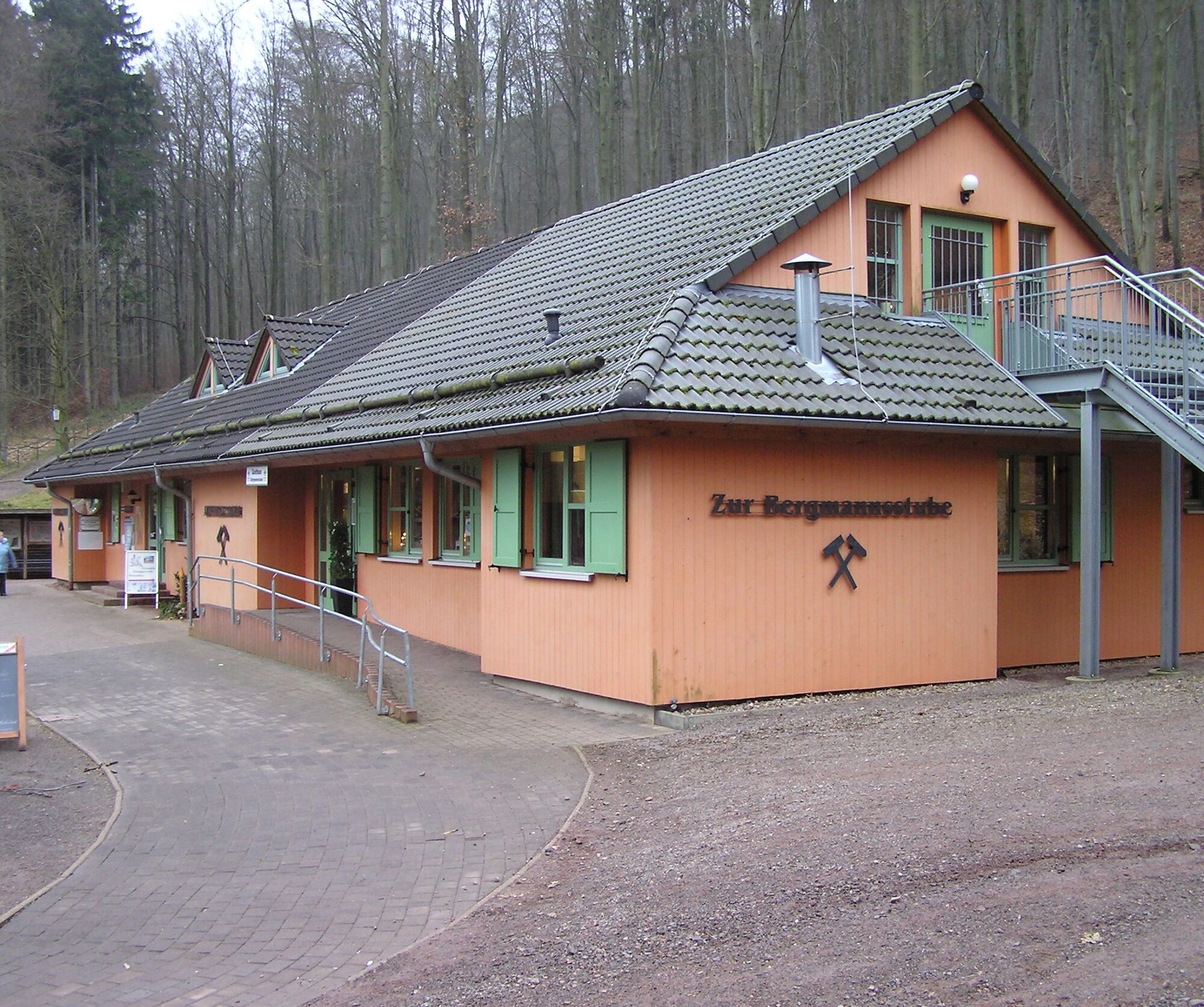
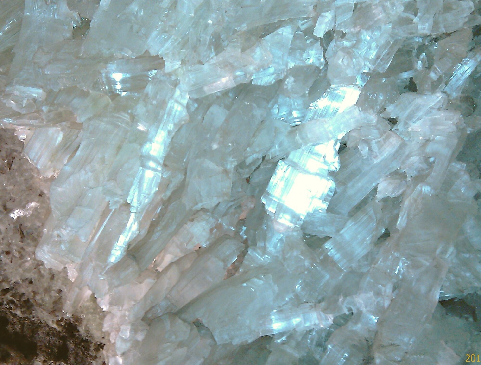
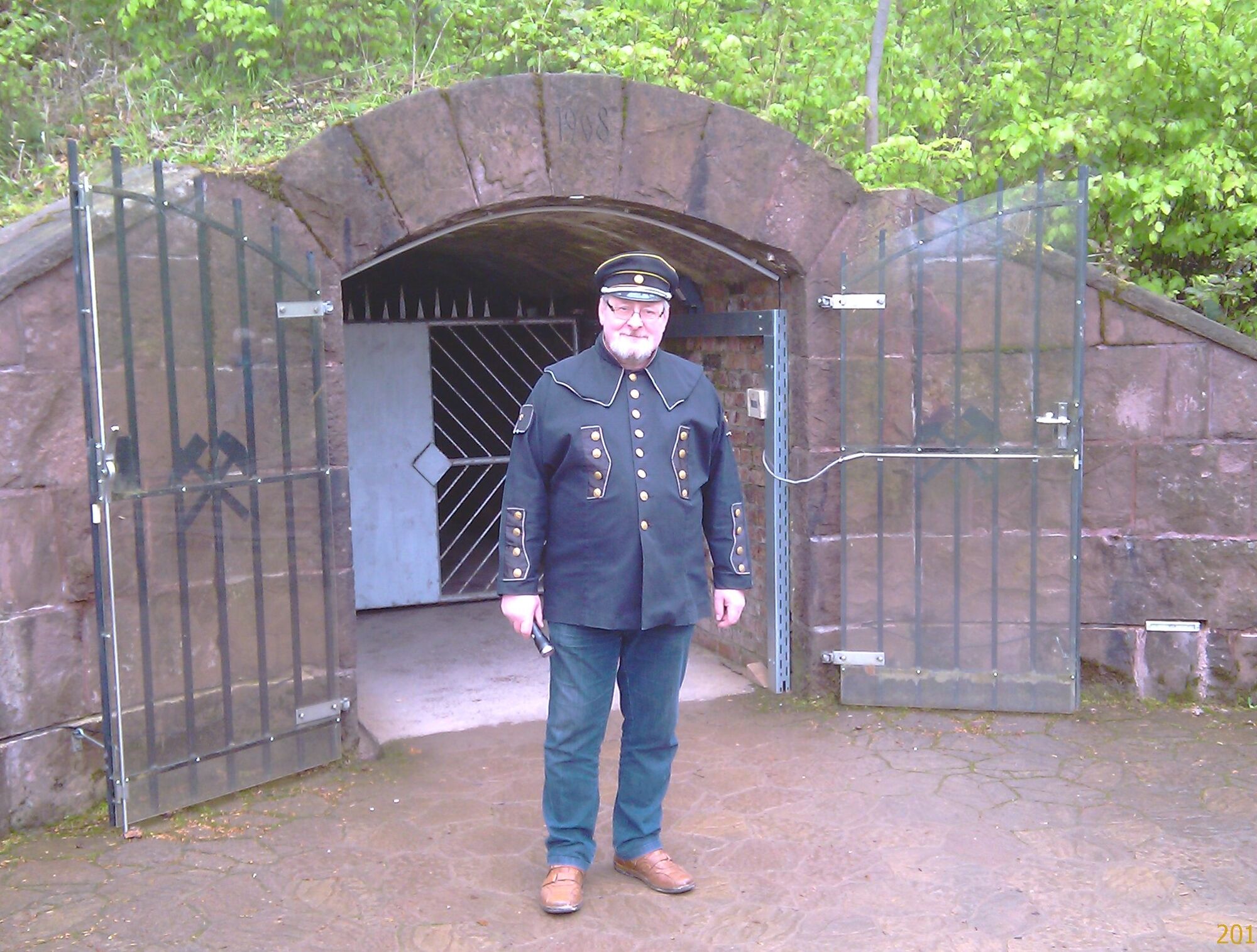
The main focus of this GeoRoute is Friedrichroda as a mining town. The at least 400-year-old mining tradition of this place is still clearly visible. Along the route you will find former mine entrances, abandoned quarries, and mining pits almost everywhere. Iron ore, manganese ore, rhyolite gravel, platy sandstones, and gypsum were mined here. The former gypsum mine at Abtsberg is now nationally famous for its wonderful crystal cave. The Marienglashöhle Friedrichroda show mine is open daily to visitors:
Attractions: Gottlob viewpoint, stone quarry at Gottlob, Glückstern mine, Marienglashöhle Friedrichroda
Also use the audio guide along the route for more information


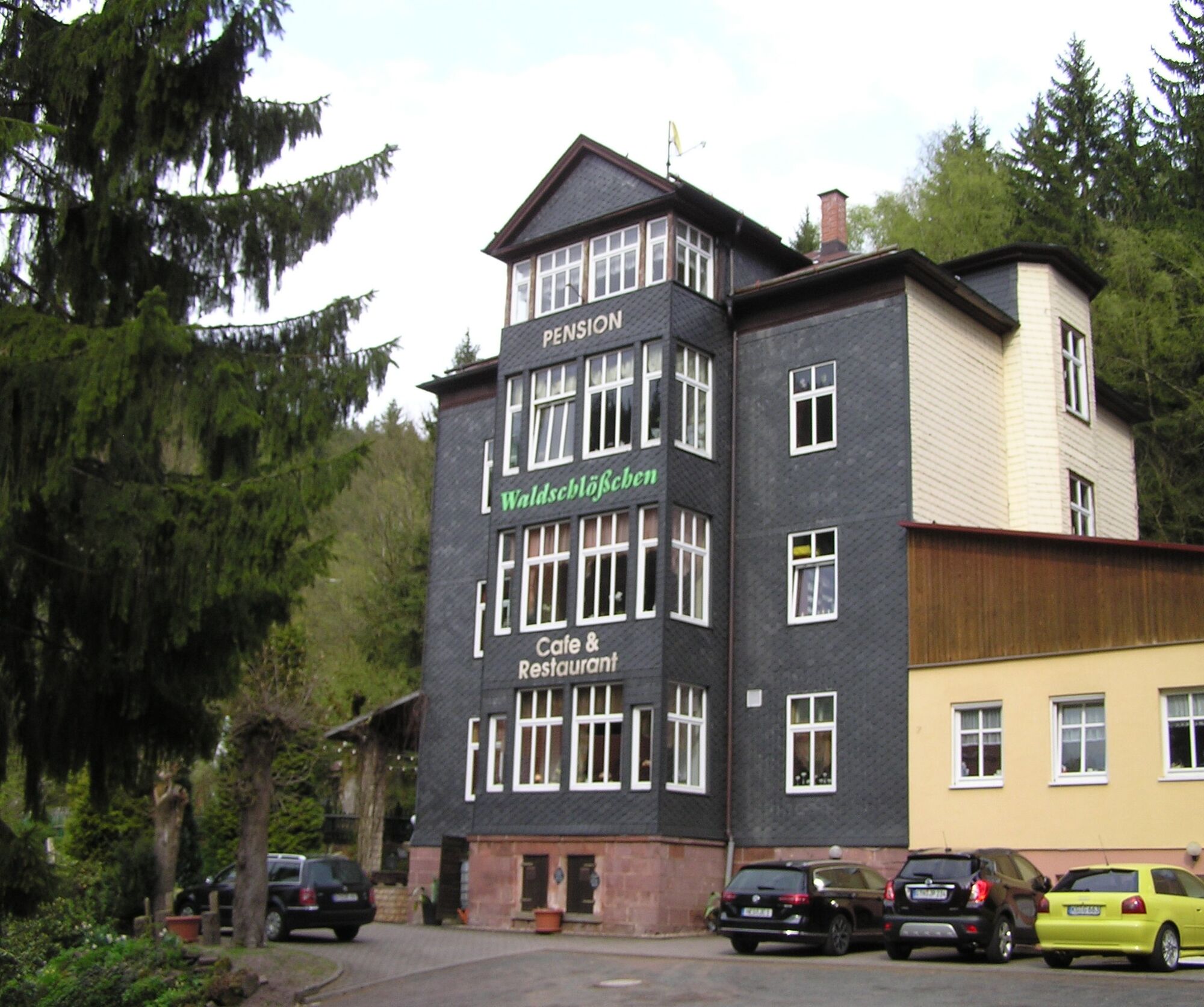

Marienglashöhle - Waldschlösschen - Gottlob - Mountain Theater - Schillerpark - Kurpark - Mountain Hotel - Marienglashöhle
Ano
Sturdy footwear is recommended
Coming from the A4 take exit 41b (Gotha-Boxberg) and continue south on L1026 towards Waltershausen and Friedrichroda. Before entering Friedrichroda turn right onto B88 towards Bad Tabarz. After about 1 km turn into the driveway to Marienglashöhle.
You can reach Friedrichroda by trains of the Thuringian Forest Railway from Gotha main station to the Marienglashöhle stop.
For a direct connection query, please use this link:
→ Directions to Marienglashöhle Friedrichroda
Just enter your starting point and the desired date.
Parking lot Marienglashöhle directly at the stop of the Thuringian Forest Railway (Google NAV point)
A visit to the Marienglashöhle including the Geopark information center should definitely be planned before or after the hike.
Webové kamery z prohlídky

Oblíbené prohlídky v okolí
-
4.3
Rund um die Ohratalsperre
světloTuristika 14.5 km -
4.6
Summit and panoramic route - Route 1 - Bad Tabarz
středníTuristika 10.9 km -
4.4
Circular hike "Old Tambach Dam", Tambach-D., Thuringian Forest
středníTuristika 8.33 km -
3.8
Wanderung zum Spitterfall
středníTuristika 14.6 km -
4.8
Circular hike - Schmalwasser reservoir - Tambach-Dietharz - Thuringian Forest
středníTuristika 13.8 km -
Tabarzer Vulkansteig
středníTuristika 9.91 km -
4.4
Circular hiking trail - "Trusetal Landmark Route" - Thuringian Forest
světloTuristika 4.02 km -
4.8
Inselsberg tour - Tour 2 - Bad Tabarz
heavyTuristika 15.1 km -
3.7
Backofenloch circular route - route 6 - Bad Tabarz
středníTuristika 7.04 km -
3.2
Von Friedrichroda zum großen Inselsberg
středníTuristika 22.4 km

Pěší turistika a stopování


Nenechte si ujít nabídky a inspiraci pro vaši příští dovolenou
Vaše e-mailová adresa byl přidán do poštovního seznamu.





