







Nature Park route - Karst-Water - Schirnrod

Úroveň obtížnosti: T1
The GeoTrail leads the hiker over unpaved paths along the Franconian Line. In the summer half-year, the source streams of the Werra are often dry, while the karst spring "Schwarzer Brunnen" flows strongly....
The GeoTrail leads the hiker over unpaved paths along the Franconian Line. In the summer half-year, the source streams of the Werra are often dry, while the karst spring "Schwarzer Brunnen" flows strongly. Typical lime-loving plants line the path, including a small yew forest. After crossing the southern edge fault of the Thuringian Slate Mountains, the vegetation changes – the acidic soil promotes bear's garlic. The water of the slate mountain springs, such as the Itz spring, disappears again underground after a few meters. Dolines and hidden karst caves are karst phenomena and accompany the circular hiking trail.
The Itz spring is attributed with miraculous healing powers, which gave the village of Stelzen its name. The healed threw away their crutches there.
The caves around Schirnrod are not accessible. The Zinsel Cave, the only visitor cave in the karst of the Schalkau Muschelkalk Plateau, offers guided tours from May to October by appointment.

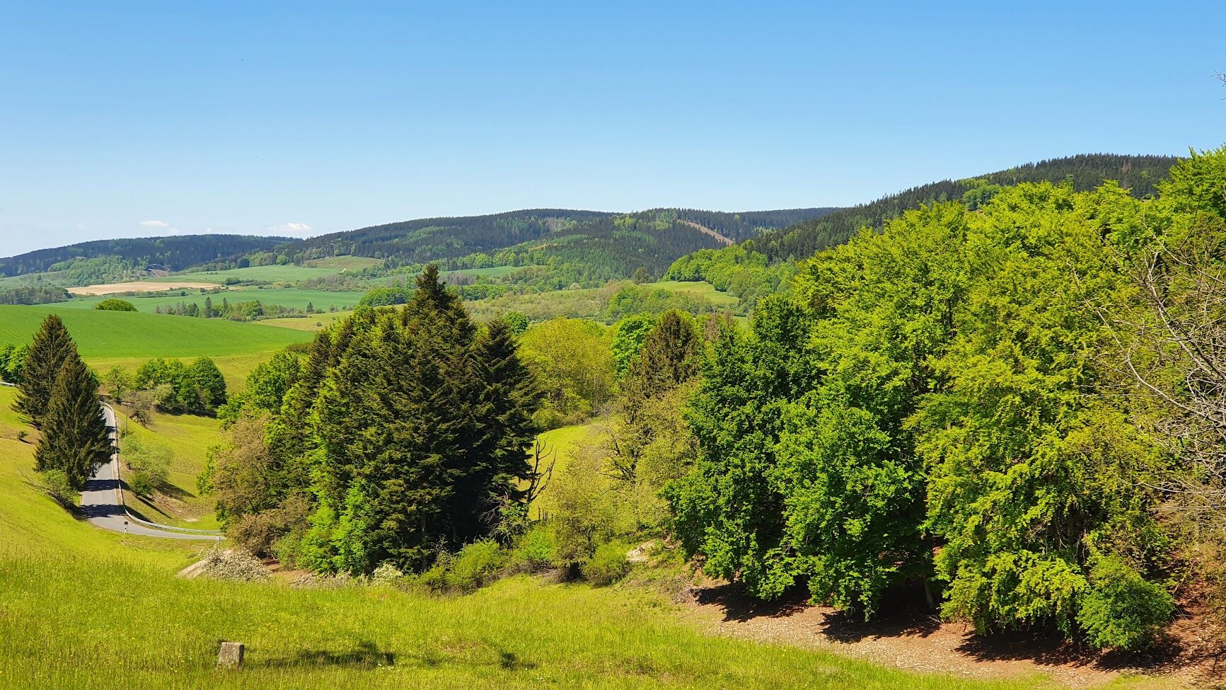
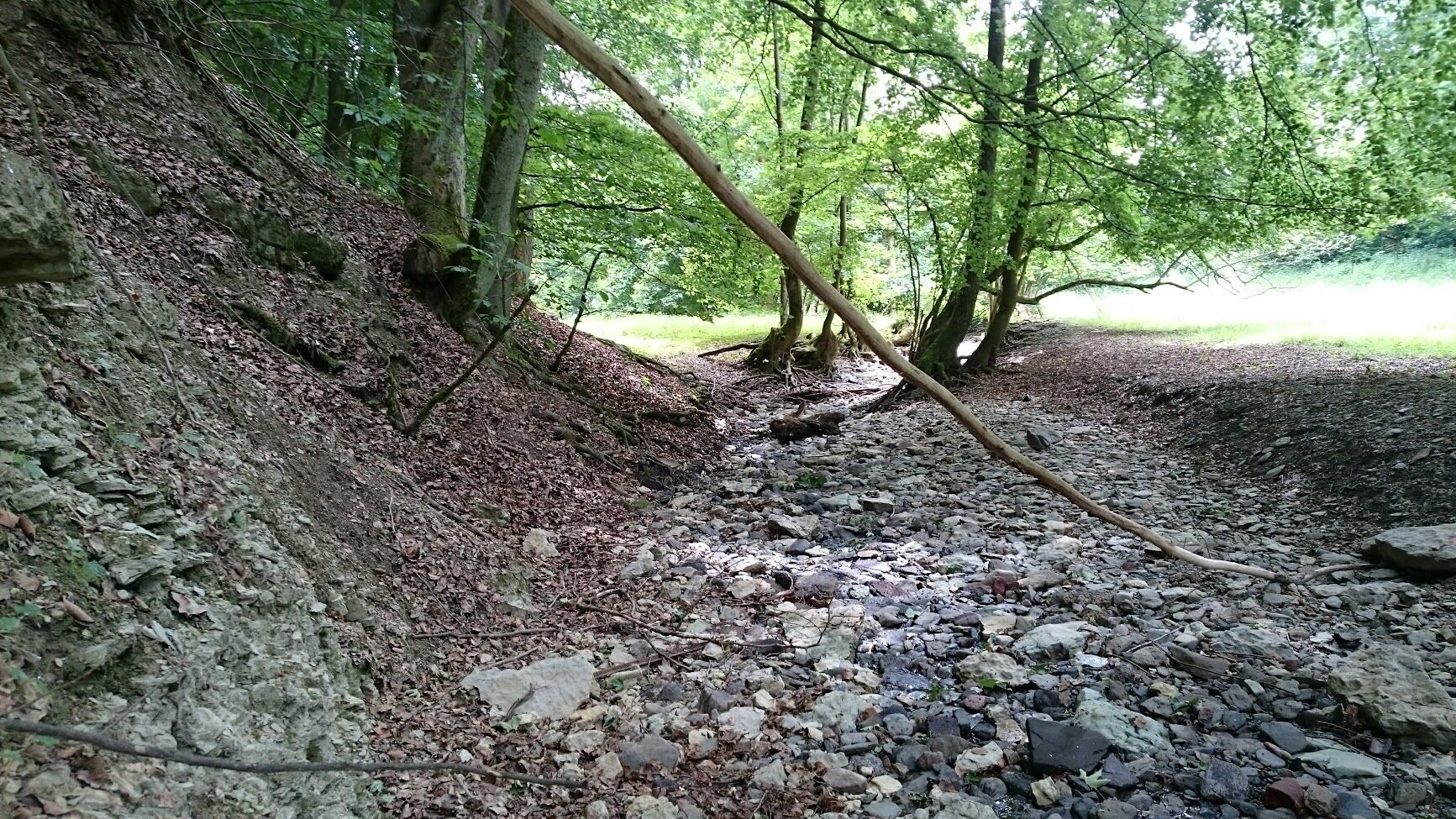
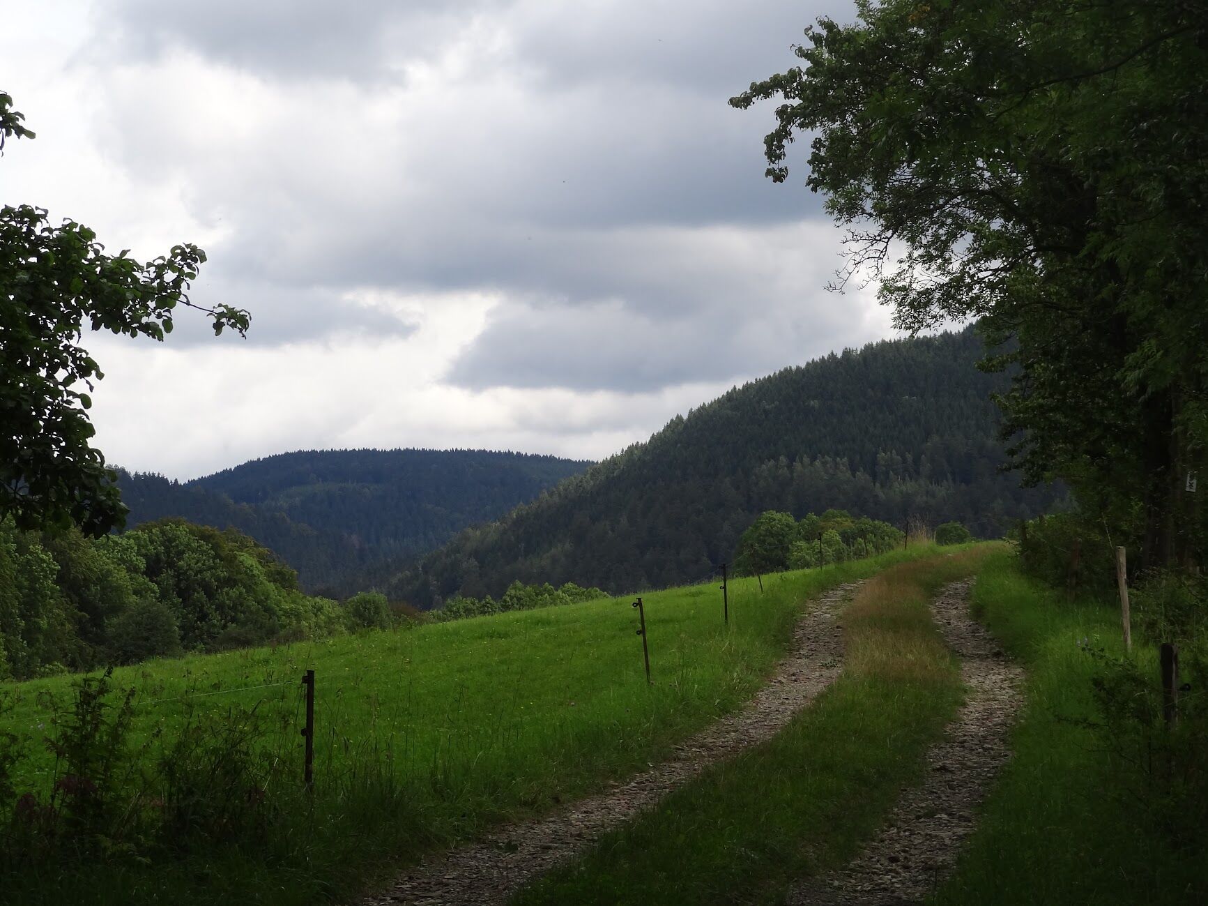
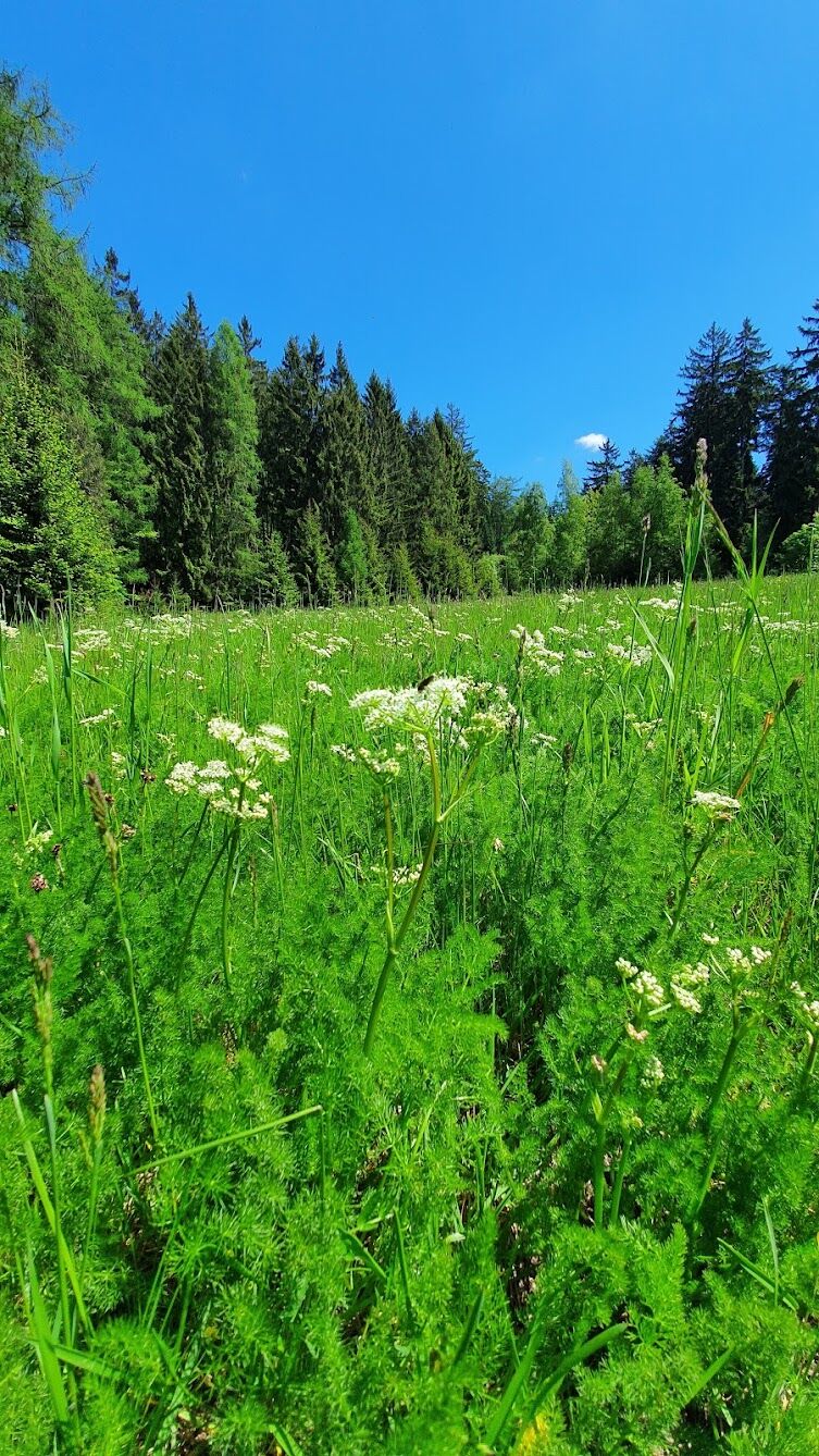
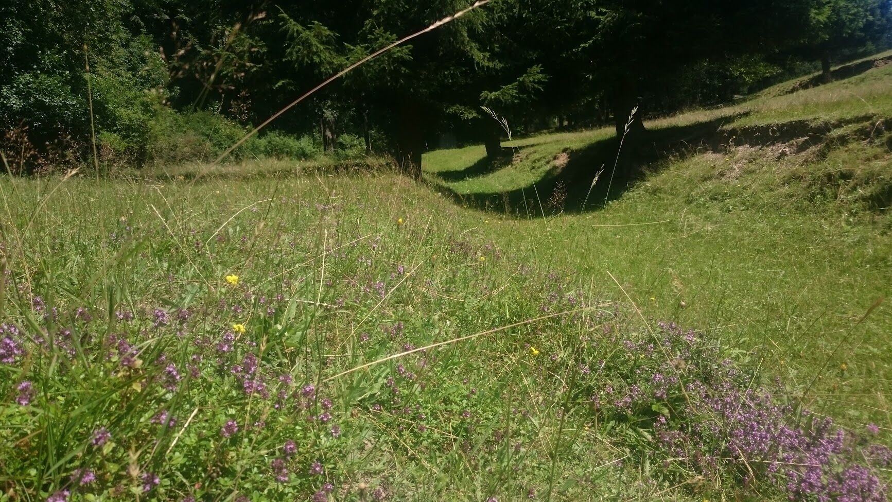
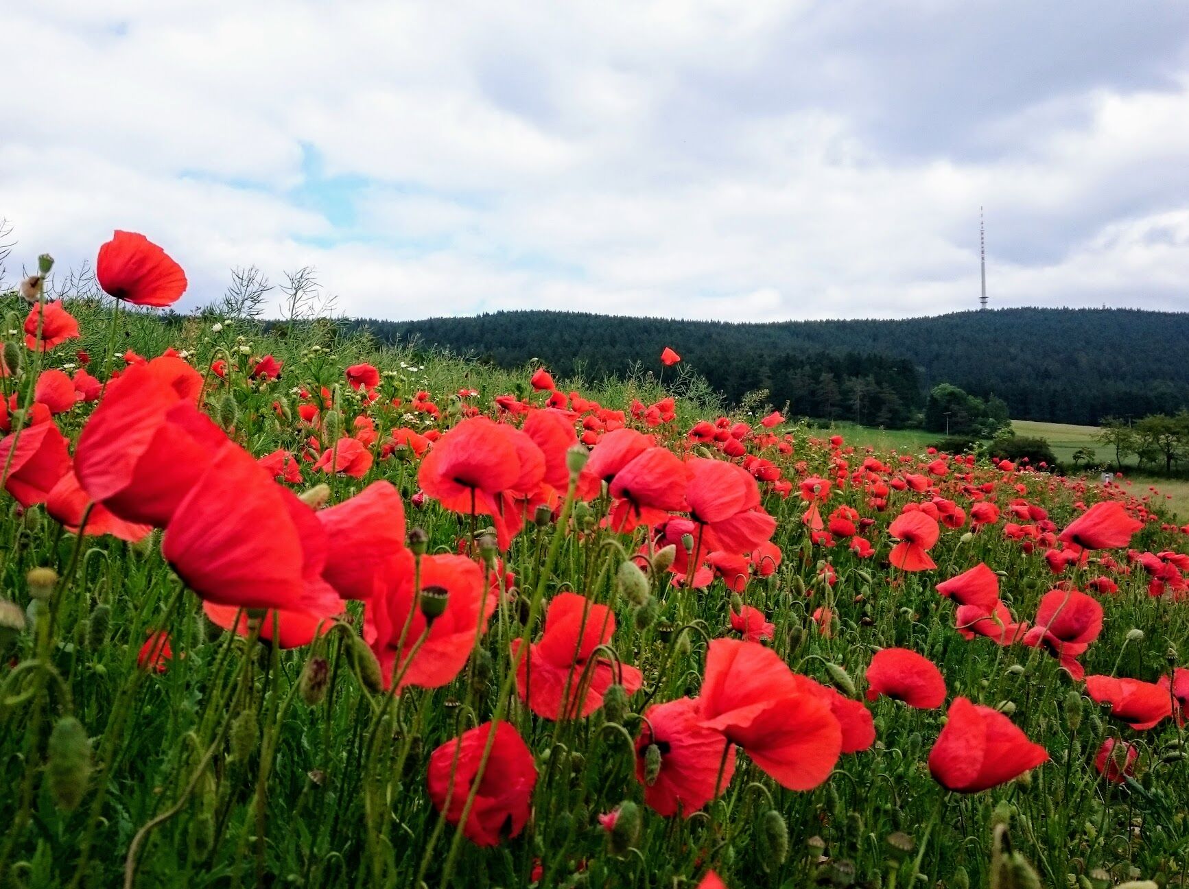
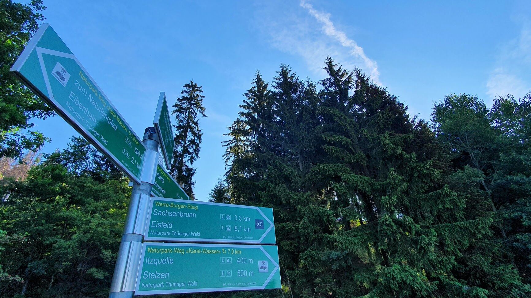

The hiking trail is very varied but also tiring due to the ups and downs. Right at the beginning, there are steps leading up the outlet of an old ski jump. At the confluence of the Werra source streams, we follow a narrow path along the bank to the karst spring "Schwarzer Brunnen". Through a small yew forest and across a meadow, you reach Schirnrod. There, the path climbs steeply to the doline chain Schirnrod at the foot of the Bleßberg massif. Across meadows, the path follows the forest edge to the highest point of the route: the watershed of the Weser and Rhine. At the Itz spring, there is a cool resting place. From Stelzen, the path leads back through the open land of the Schalkau Muschelkalk Plateau to the starting point.
Ano
In the windward area of the mountain range, with its southwest orientation, good sun protection is necessary in sunshine and rain protection is advantageous in damp weather.
Sturdy hiking shoes are sufficient for the structurally rich karst landscape. Since karst springs are not drinking water sources, please take enough fluids with you.
Use the A73 Eisfeld Nord exit. Drive via B281 towards Neuhaus am Rennweg. The starting point of the Nature Park route Karst-Water is located directly on B281 at the eastern exit of Sachsenbrunn on Sophinauer Street.
Bus stops are located directly on the route in Sachsenbrunn and Schirnrod. Please use the stop at the school.
Please use the free parking spaces at the sports field in Sachsenbrunn on Sophinauer Street.
https://maps.app.goo.gl/eTuPqhrH1oEKjGxk6
T1
Directly on the Nature Park route Karst-Water there is a school camp with a nature trail.
Historical points and ground monuments are the twin children and the Stelzen Docke, a former wayside shrine from pre-Reformation times.

Oblíbené prohlídky v okolí
-
5.0
Naturlehrpfad Gießübler Schweiz
středníTuristika 7.99 km -
3.8
Rundweg Talsperre
středníJízda na kole 14.5 km -
5.0
Circular hiking route - TOP 1 - Werra Source - Masserberg - Thuringian Forest
středníTuristika 5.94 km -
5.0
Rundtour Staudamm
světloTuristika 3.91 km -
Circular route - "When Rennsteig meets the Schwarzatal panorama path" - Limbach
středníTuristika 9.68 km -
4.0
Circular hiking trail - TOP 4 - Masserberg - Fehrenbach Switzerland - Thuringian Forest
středníTuristika 11.5 km -
5.0
Circular hiking route - "Panorama View" - Schönbrunn - Thuringian Forest
středníTuristika 9.79 km -
4.0
Circular hiking trail - TOP 2 - Masserberg - "Cultural Experience" - Friedrichshöhe - Thuringian Forest
středníTuristika 15.2 km -
Circular route - TOP 3 - hike with a view - Masserberg - Thuringian Forest
středníTuristika 17.3 km -
5.0
Circular hiking trail - "Frankenblick" - Schönbrunn - Thuringian Forest
středníTuristika 12.3 km
Pěší turistika a stopování


Nenechte si ujít nabídky a inspiraci pro vaši příští dovolenou
Vaše e-mailová adresa byl přidán do poštovního seznamu.





