


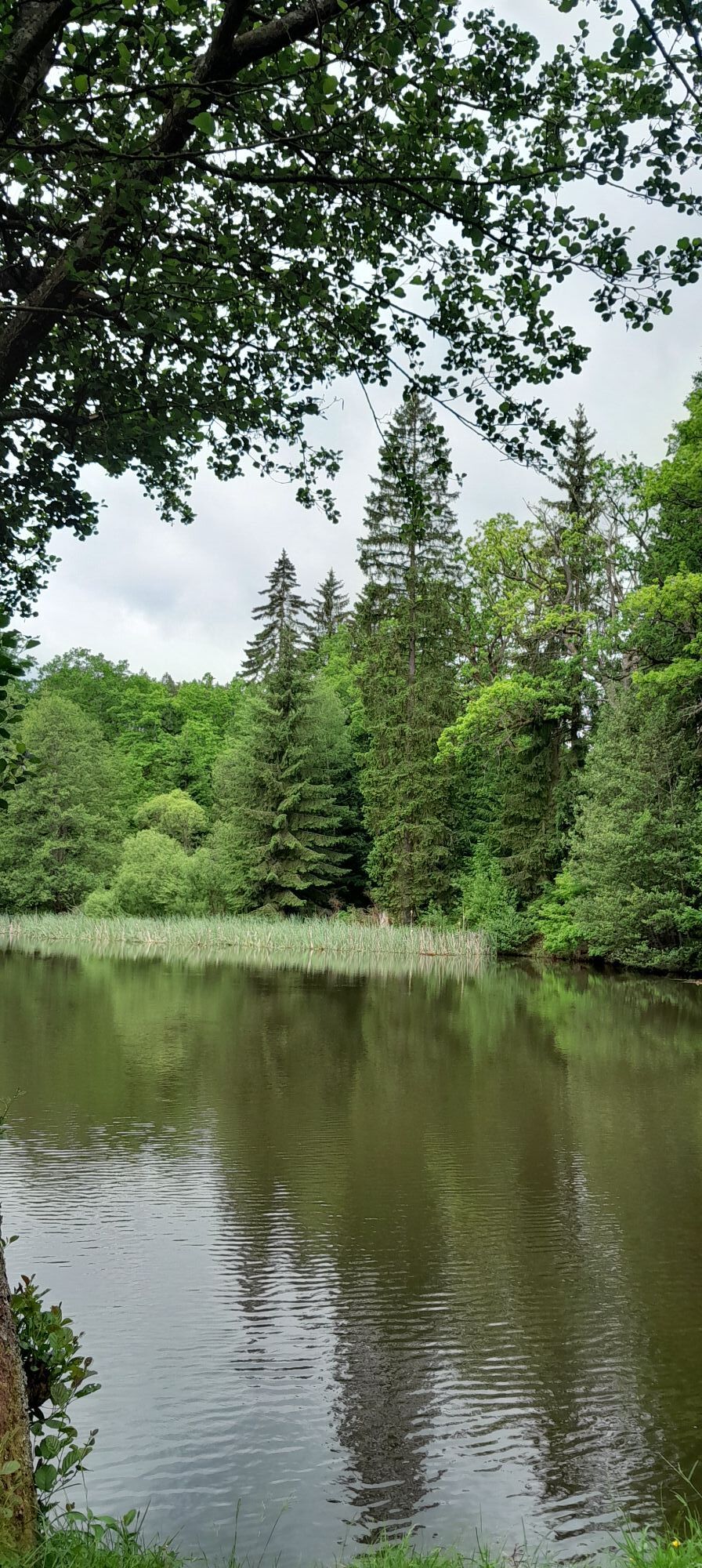
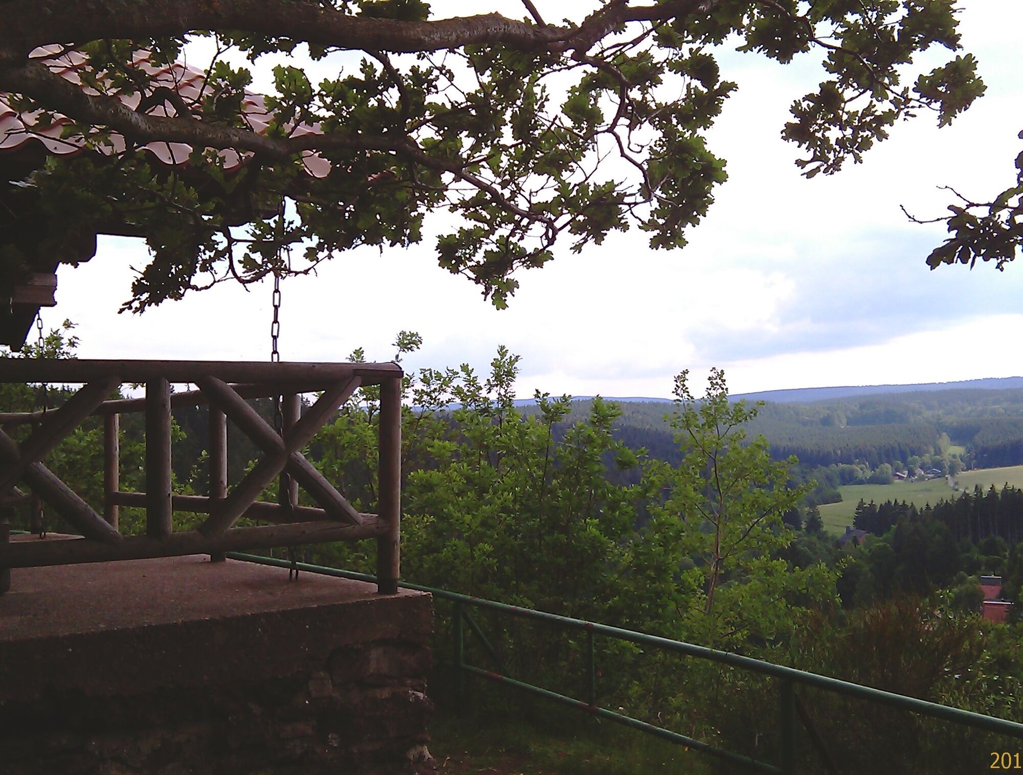
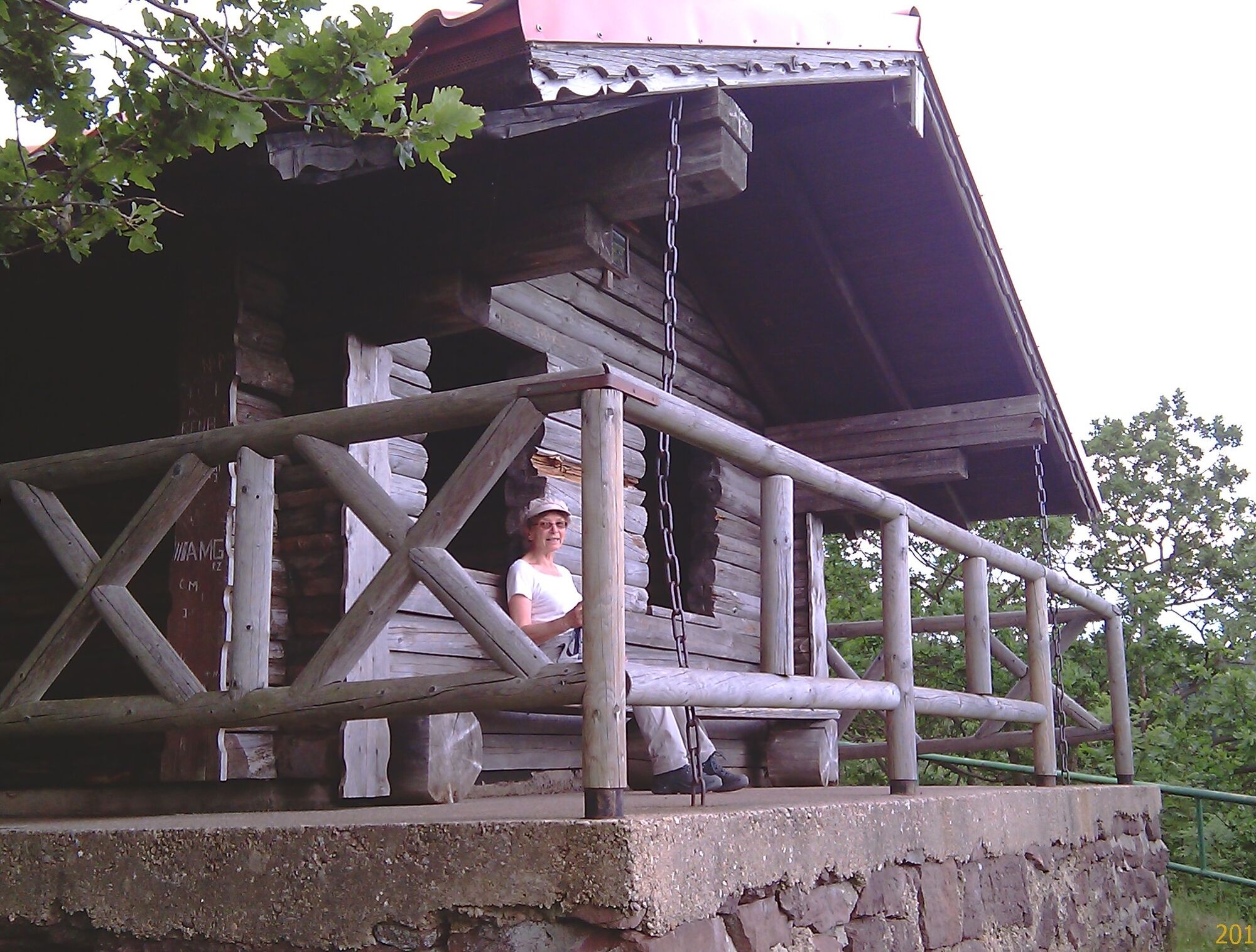
GeoRoute 13 - "Flusstour Leina" - UNESCO Global Geopark Thuringia Inselsberg - Drei Gleichen
Beforehand, a large part of the river water is diverted into the Leina canal, which was already built in the 14th century to supply water to the city of Gotha and is now a technical monument. This hiking...

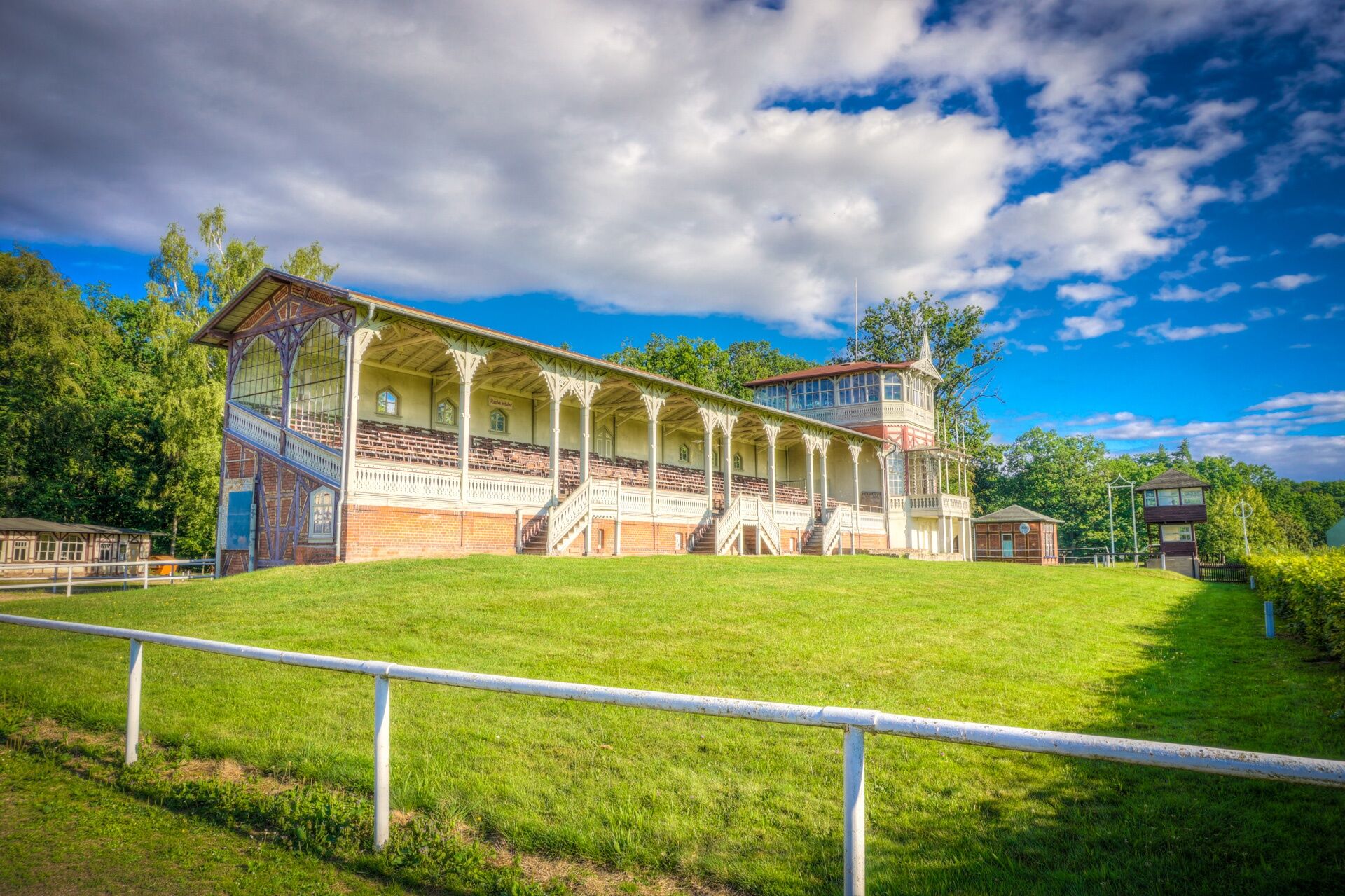
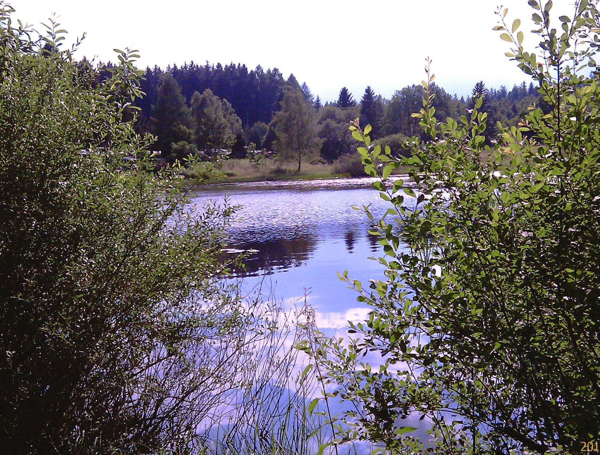
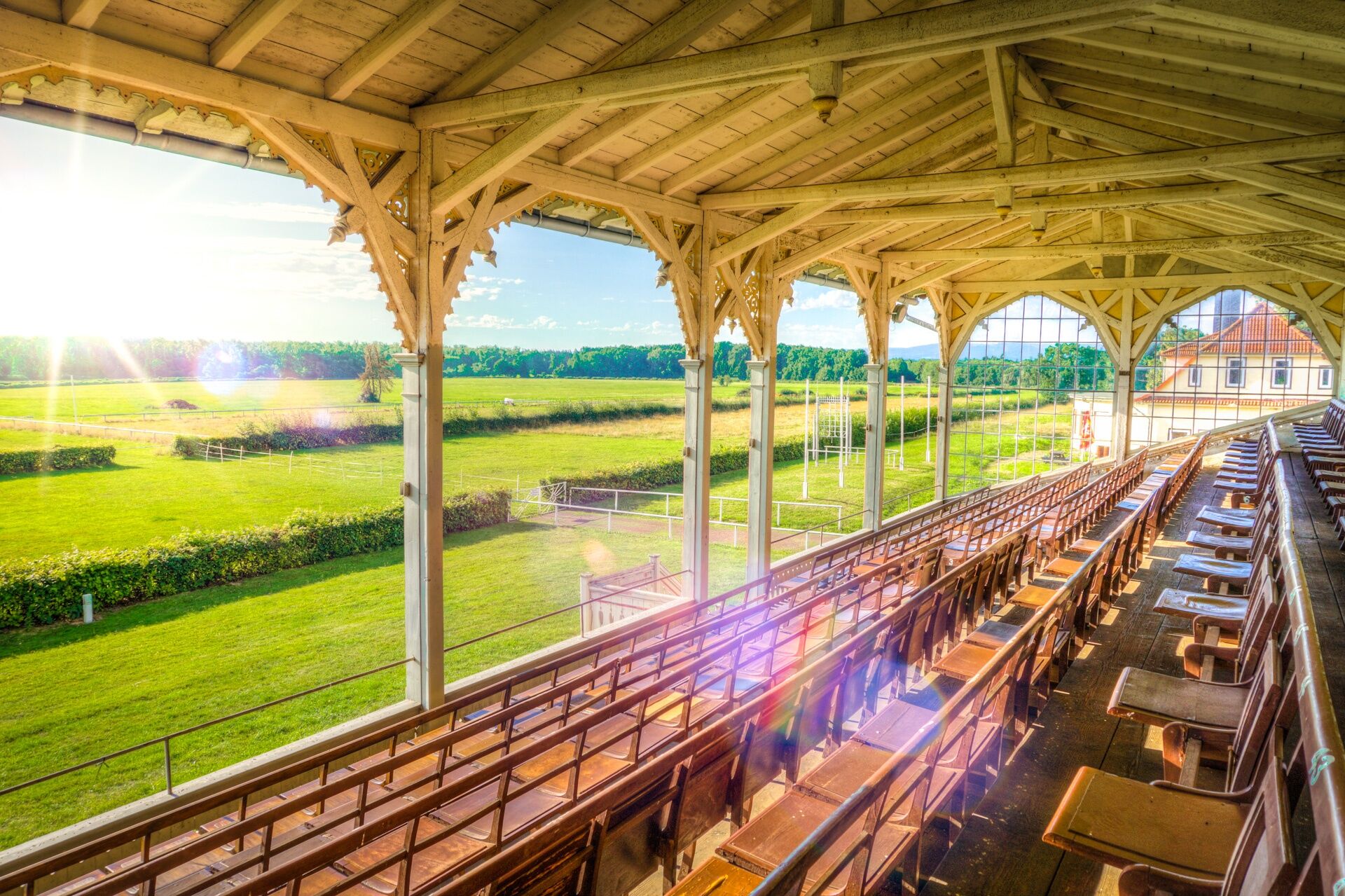
Possenröder Kreuz - Brandleite Quarry - Finsterbergen - Engelsbach - Schönau v. d. Walde - Wipperoda - White Bridge - Boxberg Horse Racing Track - Leina
- sturdy footwear
- rainwear
- first aid kit
- GPS navigation device or smartphone
Be aware of the typical dangers of the forest!
Walking is done at your own risk!
We wish you a relaxing and eventful hike!
Tourist Information Finsterbergen
Rennsteigstraße 17 99894 Finsterbergen Thuringia
Phone +49 3623 / 36420
Email: info@finsterbergen.de
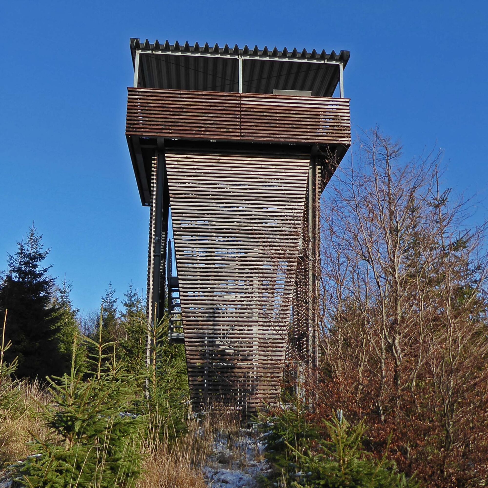
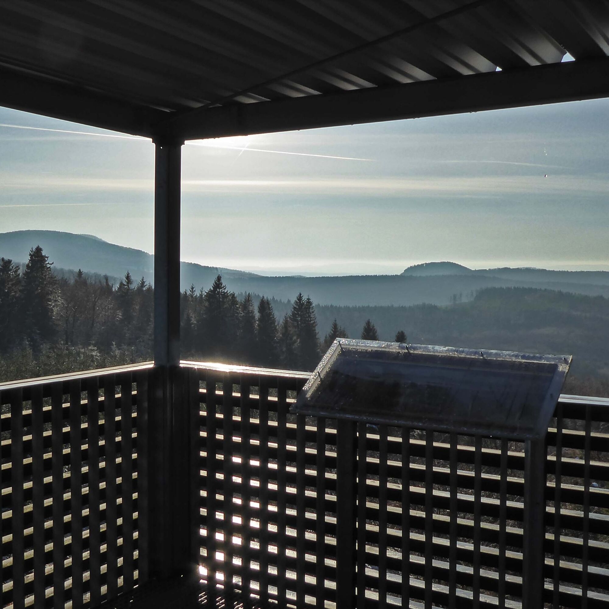
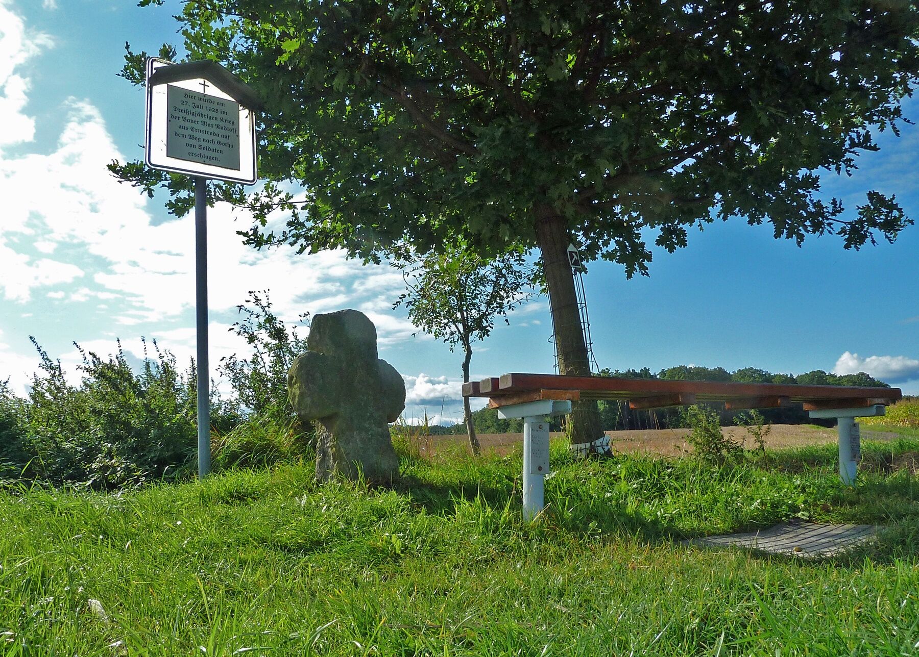
16 different information points accompany this route
Webové kamery z prohlídky
Oblíbené prohlídky v okolí
-
4.3
Rund um die Ohratalsperre
světloTuristika 14.5 km -
4.4
Circular hike "Old Tambach Dam", Tambach-D., Thuringian Forest
středníTuristika 8.33 km -
4.5
Summit and panoramic route - Route 1 - Bad Tabarz
středníTuristika 10.9 km -
3.8
Wanderung zum Spitterfall
středníTuristika 14.6 km -
4.8
Circular hike - Schmalwasser reservoir - Tambach-Dietharz - Thuringian Forest
středníTuristika 13.8 km -
Tabarzer Vulkansteig
středníTuristika 9.91 km -
3.2
Von Friedrichroda zum großen Inselsberg
středníTuristika 22.4 km -
5.0
Inselsberg tour - Tour 2 - Bad Tabarz
heavyTuristika 15.1 km -
3.5
Backofenloch circular route - route 6 - Bad Tabarz
středníTuristika 6.94 km -
4.0
Bach-Rad-Erlebnisroute
středníJízda na kole 64.5 km
Pěší turistika a stopování


Nenechte si ujít nabídky a inspiraci pro vaši příští dovolenou
Vaše e-mailová adresa byl přidán do poštovního seznamu.