


Bike route - Tannhäuser cycle path - Thuringia
Úroveň obtížnosti: 3
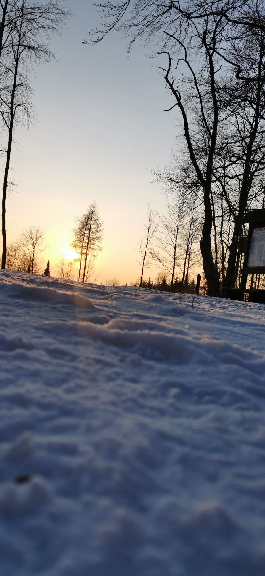
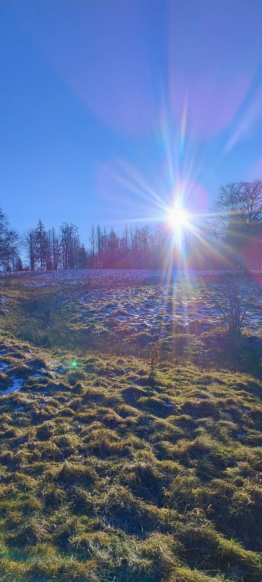
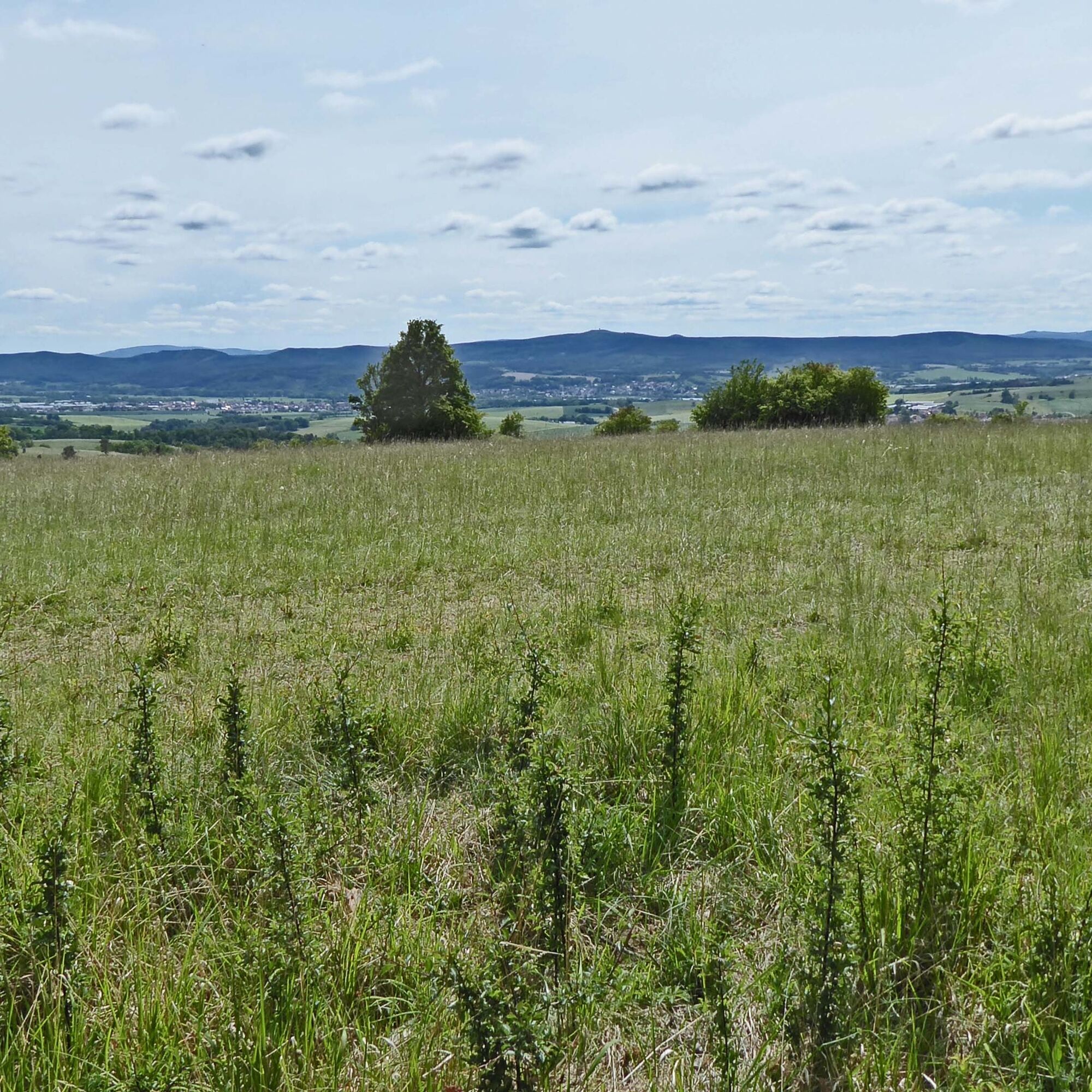
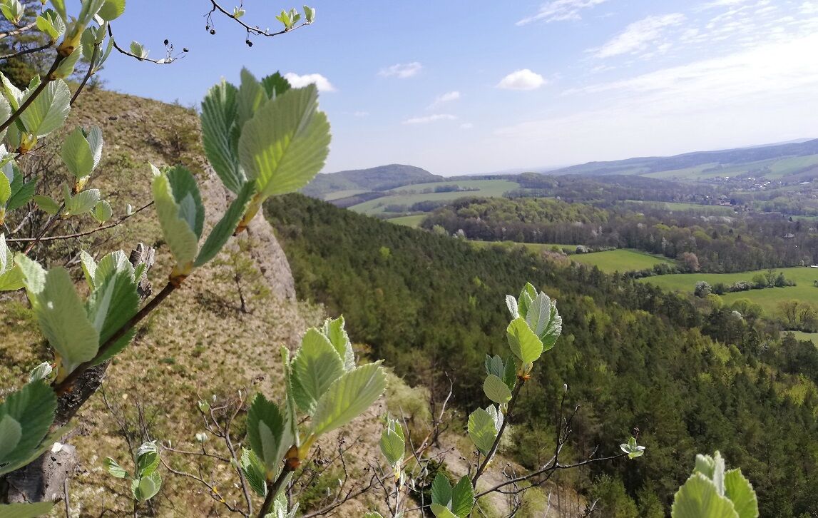
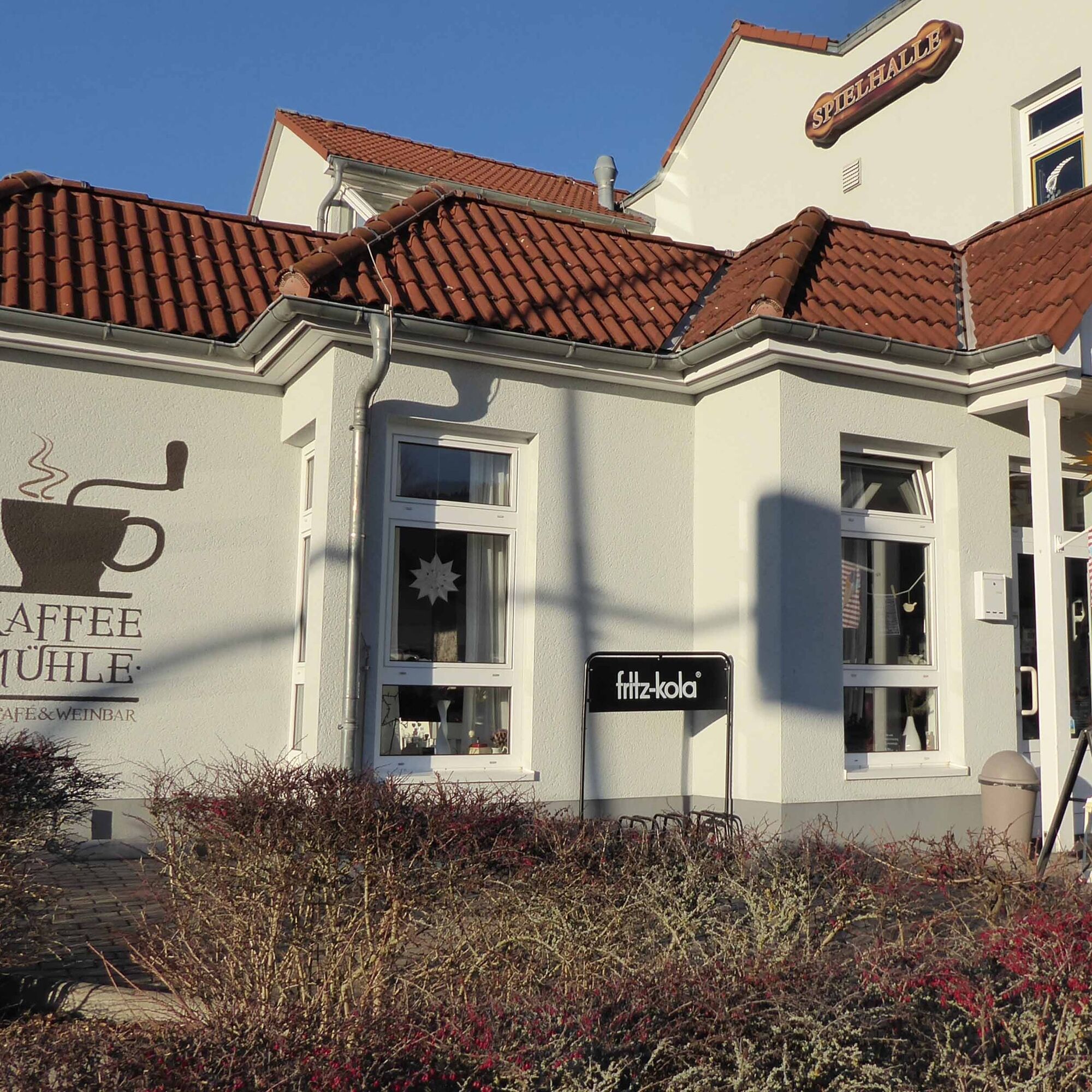
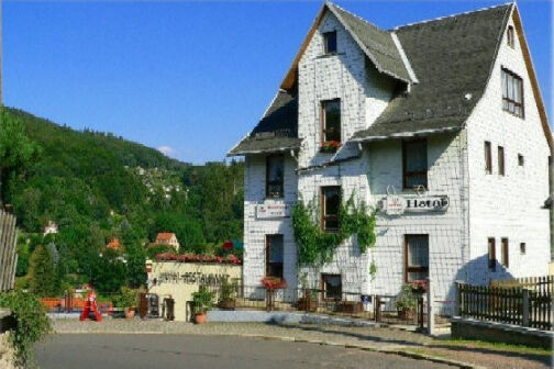
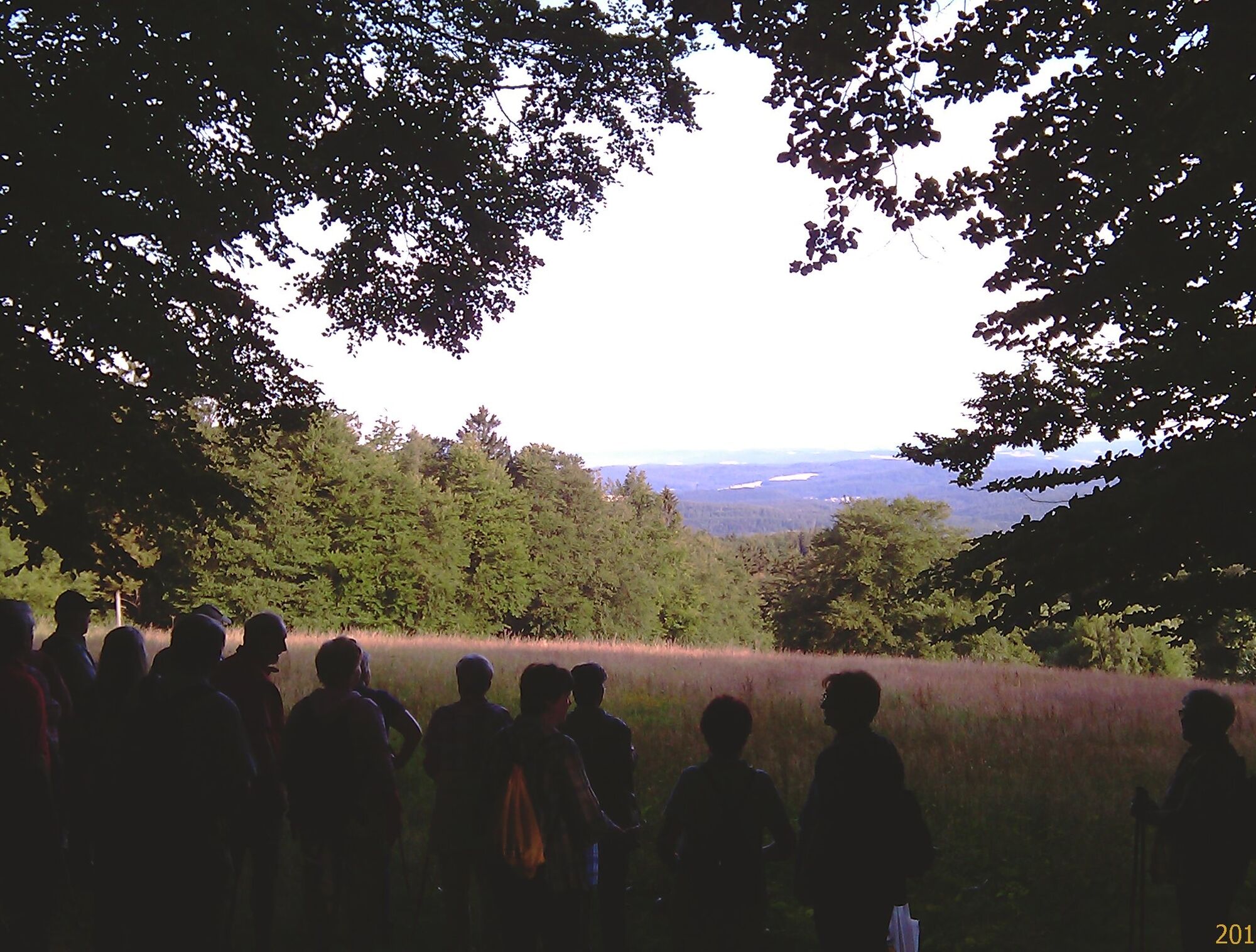
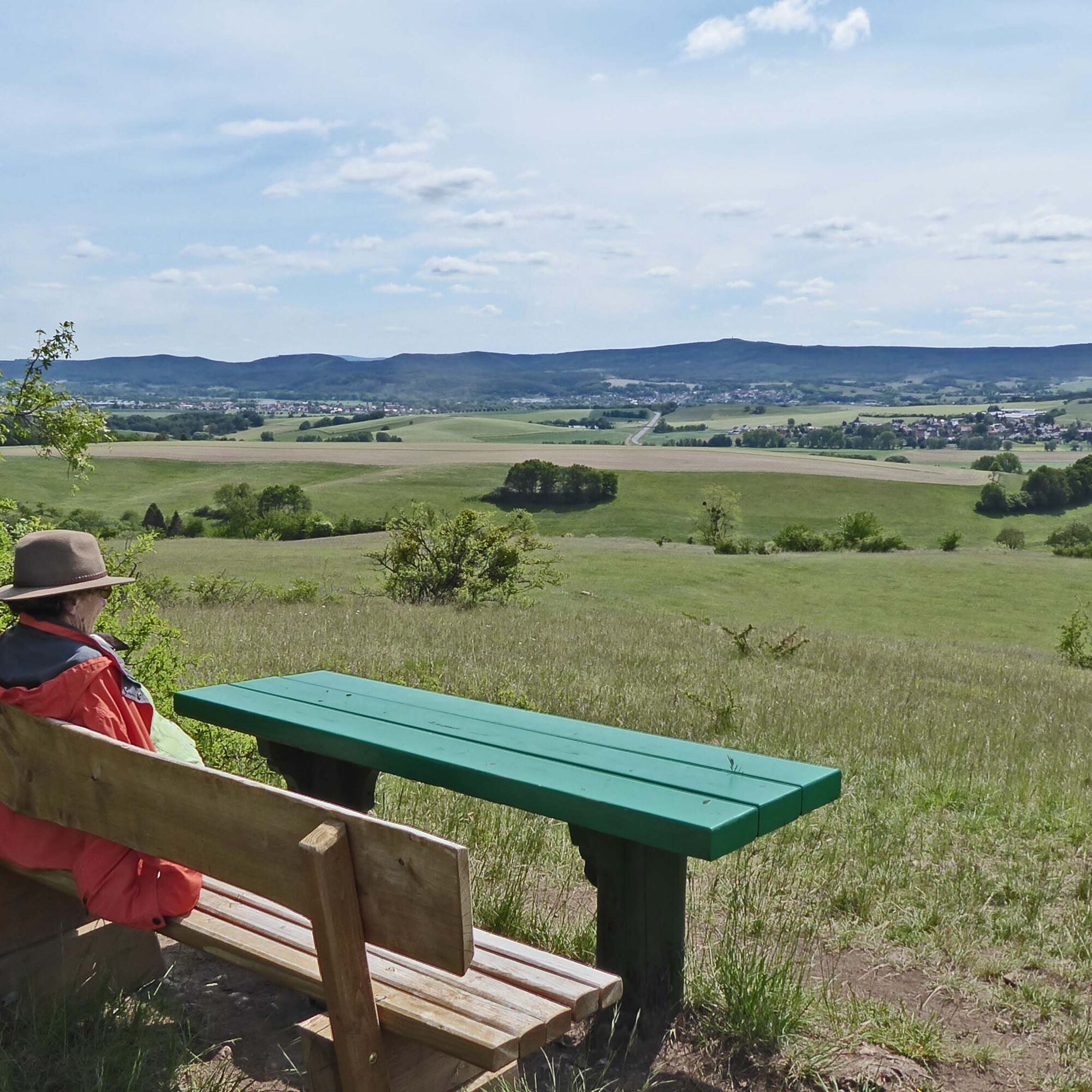
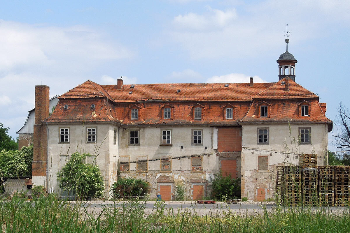
Fotografie našich uživatelů
Yes. That's exactly where a bike route begins. At the foot of the Hörsel Mountains. Many first think of the singing contest when hearing Tannhäuser. But actually, his story is more about passion. And that...
Yes. That's exactly where a bike route begins. At the foot of the Hörsel Mountains. Many first think of the singing contest when hearing Tannhäuser. But actually, his story is more about passion. And that is also needed on this bike route.
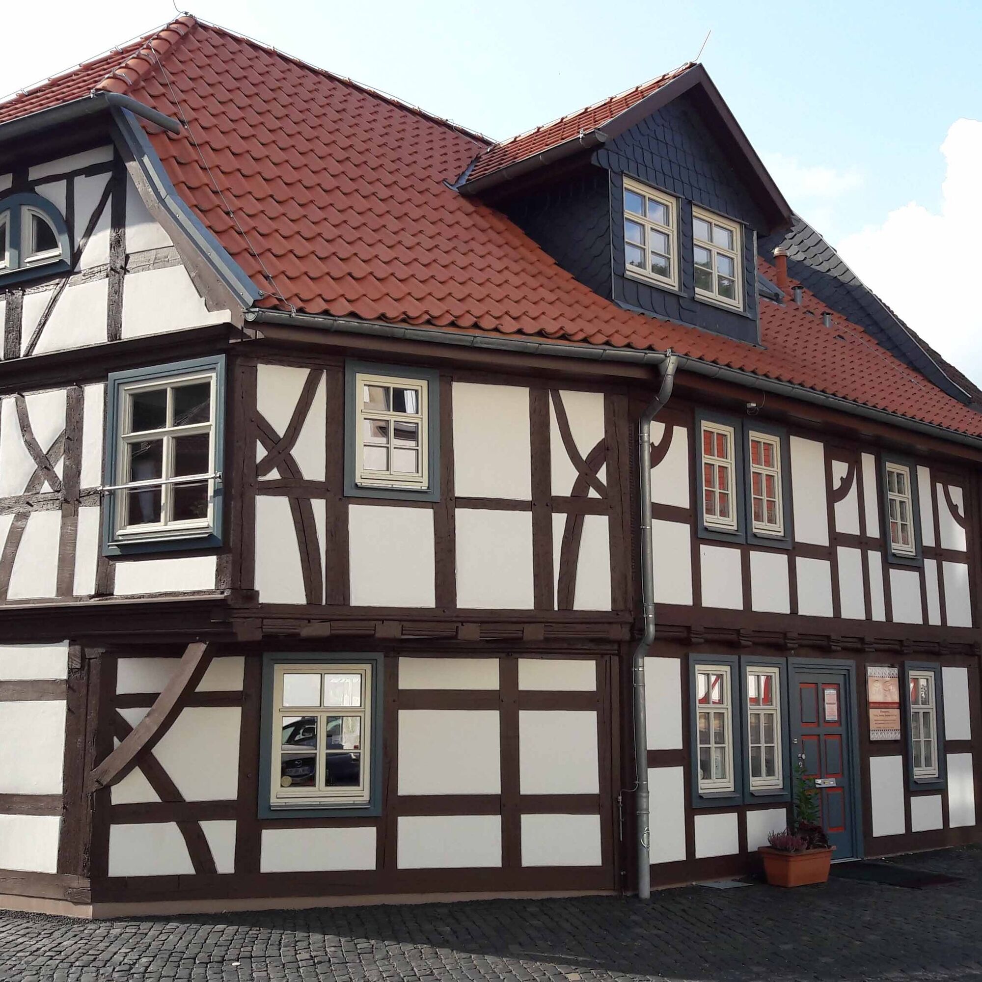
In Wutha many cyclists come along the Thuringian city chain and look for a way to see the Thuringian Forest more closely. On the old railway track it goes towards Ruhla. Before that, you can admire the many half-timbered houses in Thal. Behind Ruhla and the mini-a-thür model park it then becomes serious with physical conditioning. But at the end of the ascent, the famous Rennsteig and its namesake cycle path await. This can in turn be ridden both westward, in the direction of Eisenach, and eastward, in the direction of Oberhof. However, the Tannhäuser swings downhill again to the Kissel. The carved figures by the wayside testify - we are on the Pummpälzweg. Not far from Lindchen near Schweina a detour to Altenstein Park is worthwhile. Its castle dominates the southern slope of the Thuringian Forest near Bad Liebenstein. Soon Barchfeld is in sight. And the vast water surfaces in the Werra floodplain. Werra? Paddling on the Werra would be an option. But in the valley, the Tannhäuser also meets the Werra Valley cycle path. Once again: to the northwest towards Bad Salzungen or to the southeast towards Meiningen. The cyclist can choose.
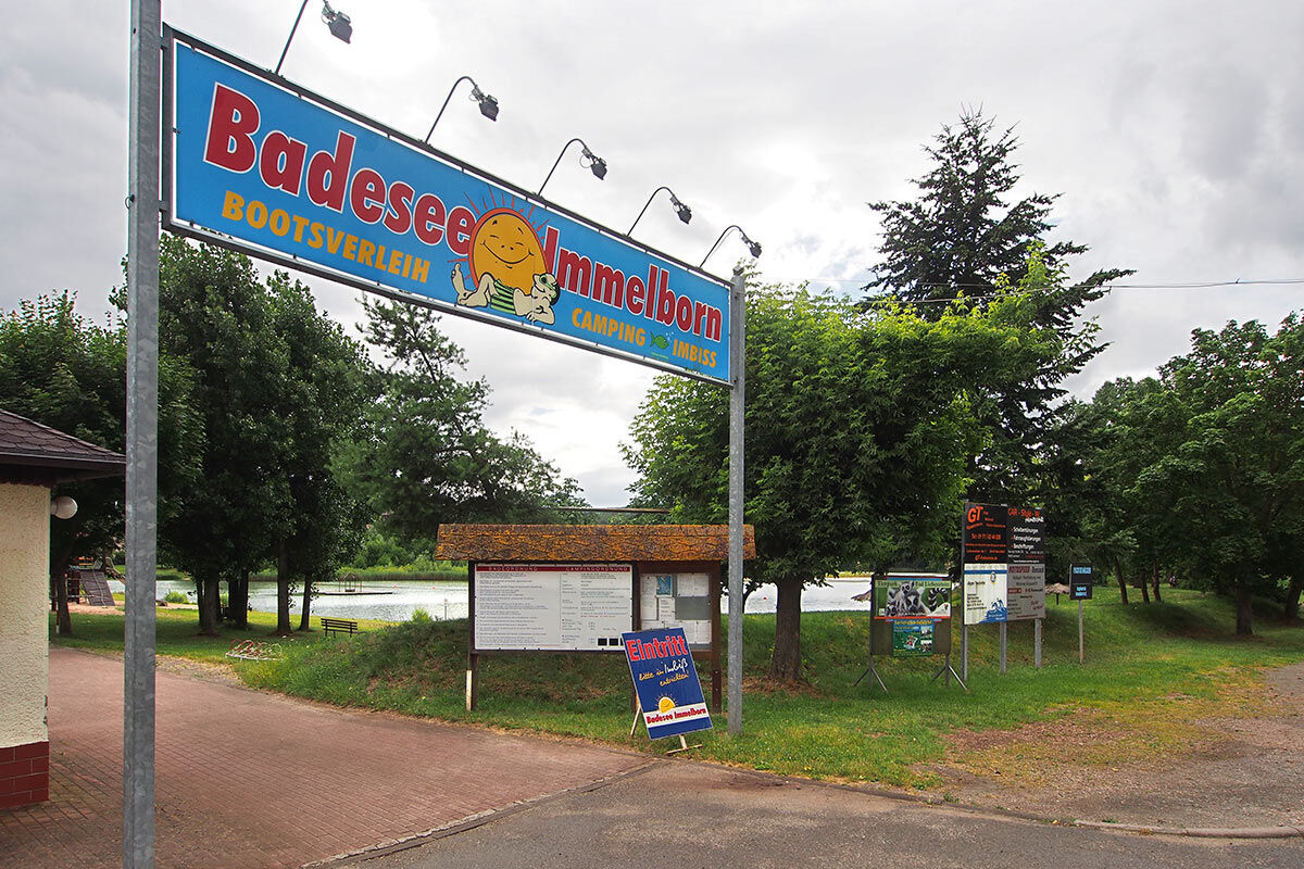
By the way - if the return trip is too exhausting, you can take the train back from Immelborn, the neighboring town of Barchfeld, via Bad Salzungen and Eisenach to the starting point Wutha-Farnroda. And recommend the Tannhäuser cycle path to your friends.


Wutha-Farnroda - Ruhla - Bad Liebenstein - Barchfeld - Immelborn
Ano
Functional clothing
sufficient drink supplies
first-aid kit
GPS navigation device
puncture repair kit
Always pay attention to other road users during your bike tour and observe the traffic regulations.
Please be sure to check your bike for roadworthiness before starting your trip.
You travel by car via the A4 motorway (Sättelstädt exit) via the L2102 towards Sättelstädt then via the L 3007 to Wutha
You can reach both Wutha-Farnroda and Immelborn by regional trains as well as regional buses. Use the Deutsche Bahn travel portal to plan your journey. This portal also lists all regional transport providers.
Parking options are available at the station in Wutha (Google-NAV point)
3
Kittelsthal dripstone cave
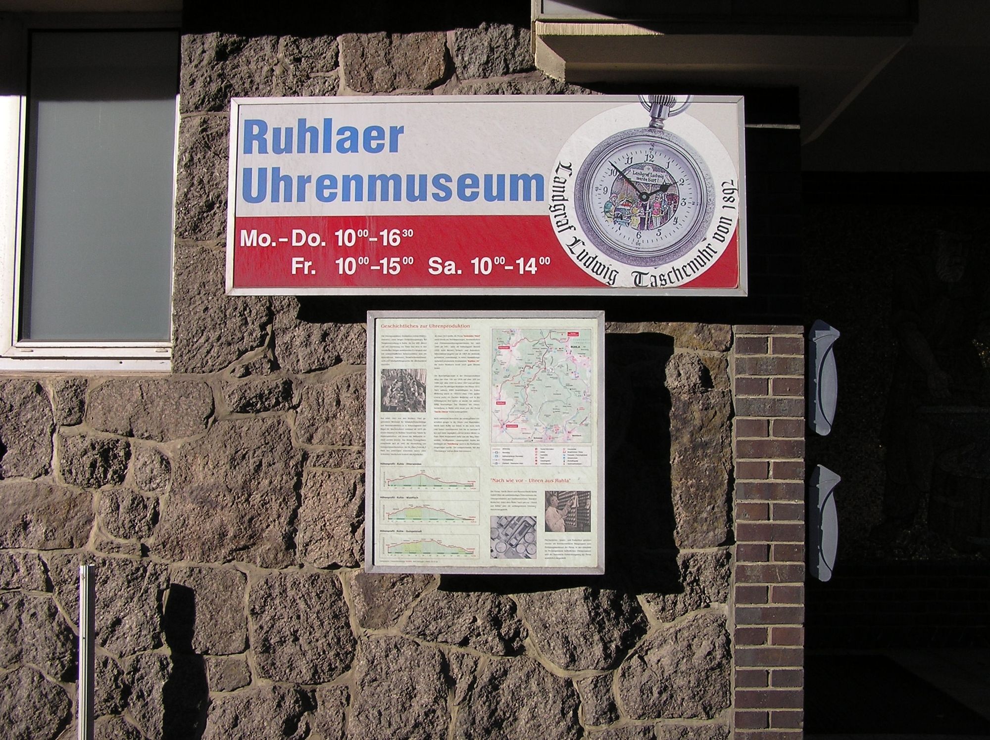
Clock Museum
mini-a-thür model park
Tobacco pipe museum
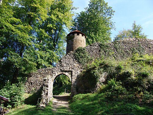
Altenstein castle and park
Oblíbené prohlídky v okolí
-
5.0
EA1 - Circular route - Gorge tour near Eisenach - Thuringian Forest
středníTuristika 9.68 km -
4.5
Summit and panoramic route - Route 1 - Bad Tabarz
středníTuristika 10.9 km -
5.0
Wartburg und Drachenschlucht
středníTuristika 15.1 km -
4.7
IVV PW + GTW "In Luther's footsteps - Luther, dragons, landgraves, rose miracle..."
středníTuristika 15.8 km -
3.5
EA2 - circular hiking route - "The Beauties of Eisenach" - Thuringian Forest
středníTuristika 10.4 km -
Tabarzer Vulkansteig
středníTuristika 9.91 km -
4.5
Circular hike - Legendary Hörselberge - Great Hörselberg near Eisenach - Thuringian Forest
středníTuristika 10.6 km -
4.7
Hike - "Rennsteig-Leiter Eisenach" Thuringian Forest
středníTuristika 3.58 km -
5.0
Circular route 3 - Mariental/Drachenschlucht/Elfengrotte
středníTuristika 3.54 km -
4.0
Circular route - Tanzbuche - Friedrichroda - Thuringian Forest
středníTuristika 10.2 km

Pěší turistika a stopování


Nenechte si ujít nabídky a inspiraci pro vaši příští dovolenou
Vaše e-mailová adresa byl přidán do poštovního seznamu.