


Bike route - "Keltenradweg" - From Themar to Bad Königshofen - Thuringian Forest
Úroveň obtížnosti: 3
Cycle along historic trails through one of Germany's most beautiful natural landscapes. The cycle path takes you through the hilly region of Upper Franconia and tells stories of monumental monasteries,...
Cycle along historic trails through one of Germany's most beautiful natural landscapes. The cycle path takes you through the hilly region of Upper Franconia and tells stories of monumental monasteries, small breweries, and soothing spas.
The Keltenradweg starts in the small town of Themar in the southern foothills of the Thuringian Forest between Schleusingen and Meiningen. It initially runs parallel to the Werratal Cycle Path to Reurieth and later to several excavation sites in the Vorderrohn.
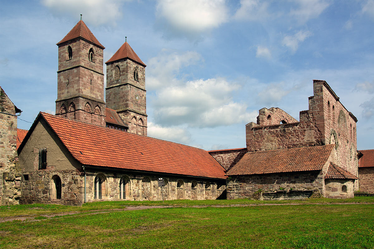
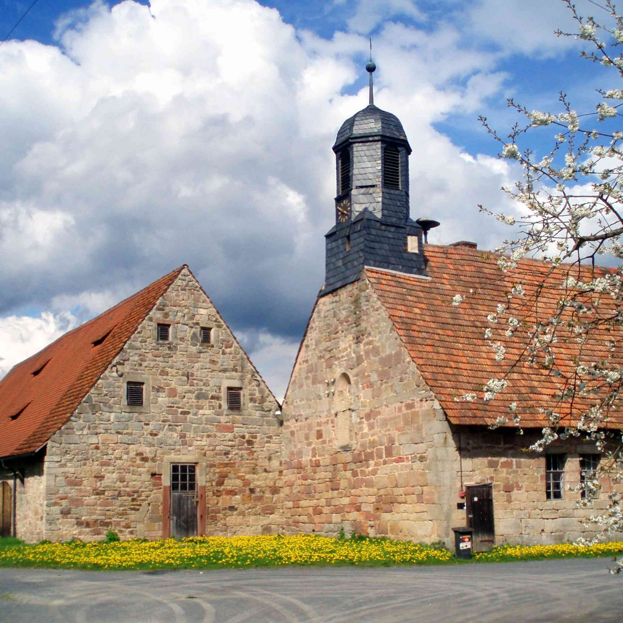
On the first kilometers you pass the Henneberg Museum Monastery Veßra. The most significant Romanesque monastery complex still existing in southern Thuringia has been an open-air museum since 1975 with a wide range of information and activities. A visit and excursion into Thuringian medieval history is especially recommended for children. Regular events, markets, concerts, and special exhibitions make the "Museum³" a cultural hotspot in the region.
Next you head towards Grimmelshausen and pass the Werra retention dam. This flooding has led to the settlement of some rare bird species here.
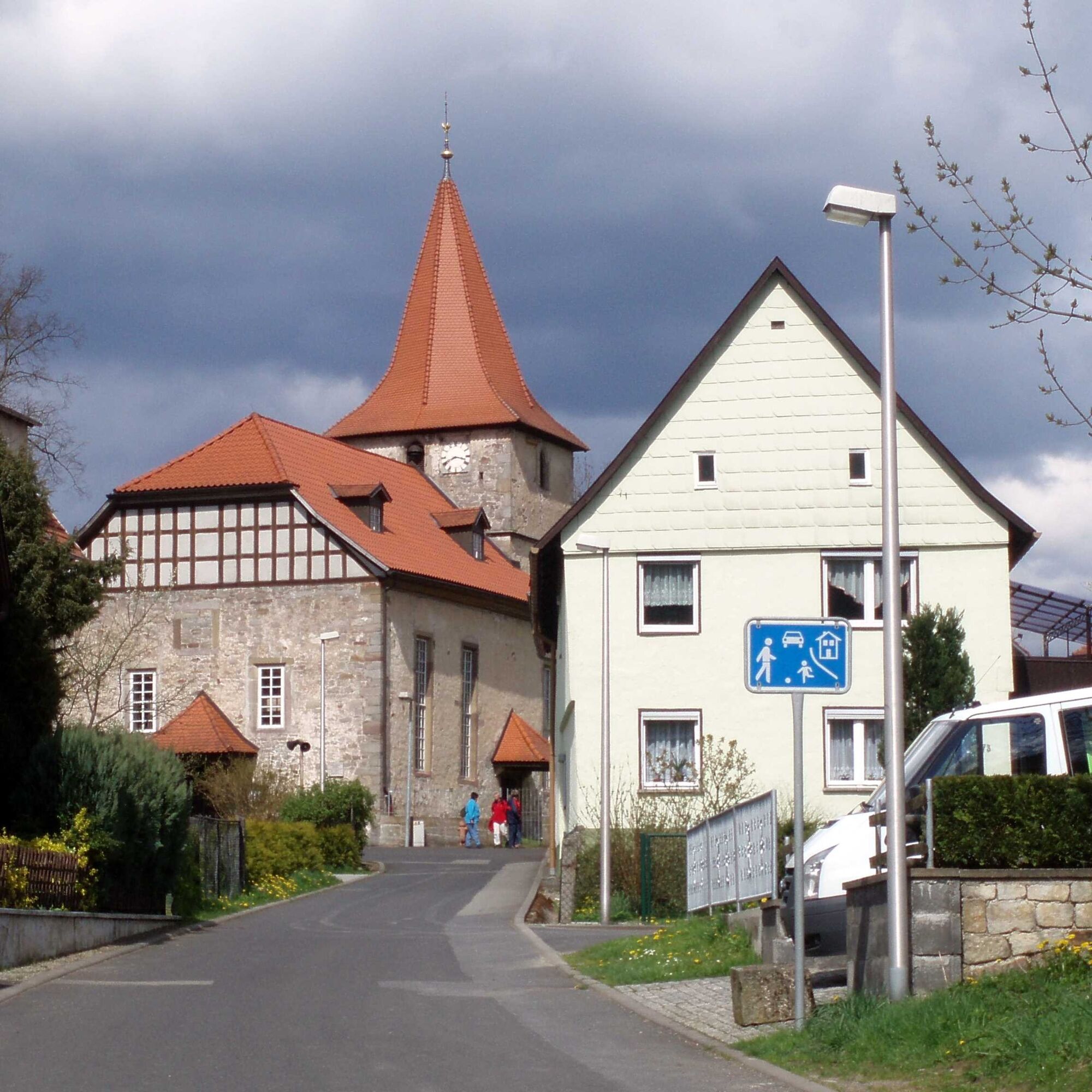
In Trostadt, you first pass the trout breeding facility and then the old monastery buildings. In the village itself is the Landhotel Klostermühle. The restaurant is open from 11:30 a.m. on weekends.
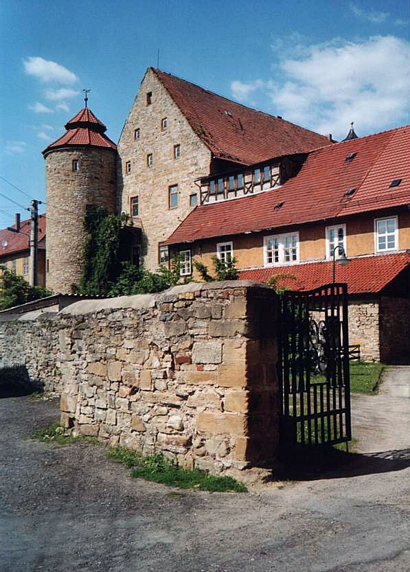
In Reurieth, the Keltenradweg turns south and you gradually leave the Werra valley. Anyone interested can visit the castle ruins or the camera museum.
Via Wabigweg you soon reach Dingsleben, a place known mainly for its brewery. The special beers and lemonades from Dingsleben are very popular throughout Thuringia. Stop by the brewery restaurant "Zur Schwarzen Henne" (Fri. and Sun. from 6 p.m.) and try for yourself. You can also tour the brewery as a group by appointment.
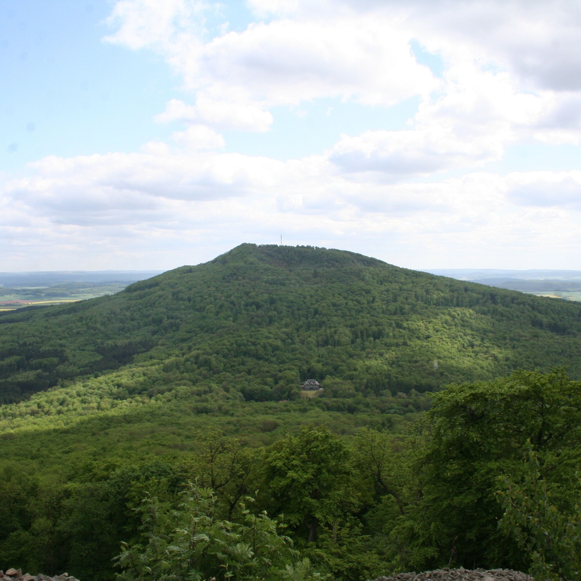
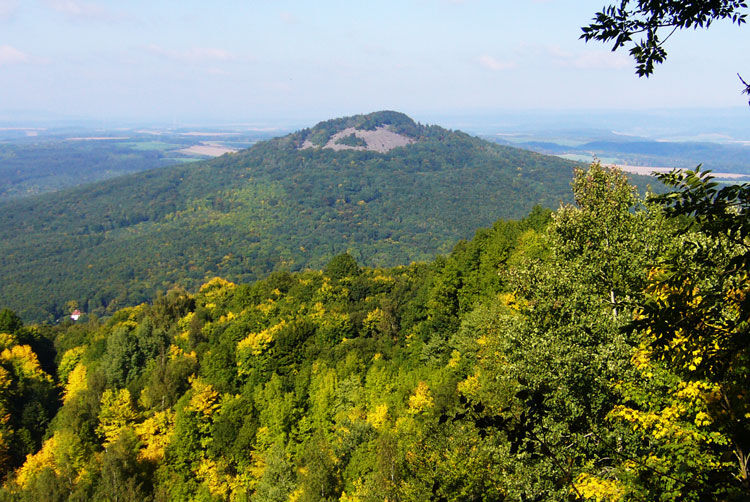
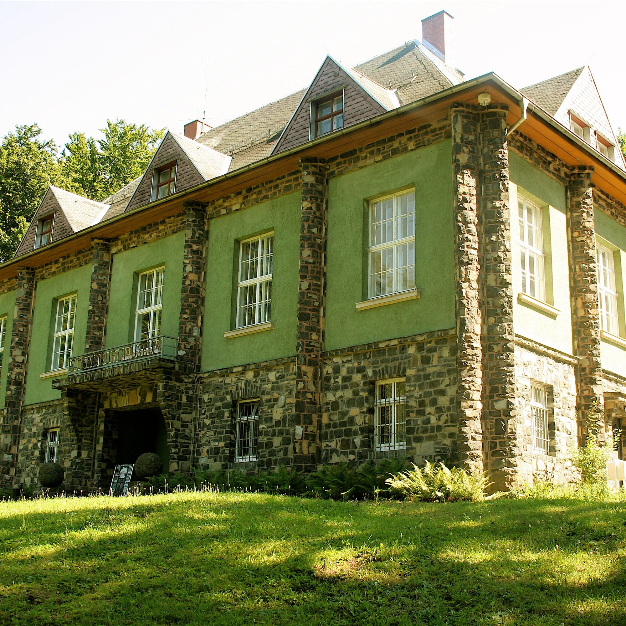
Between Dingsleben and Haina, you cycle over the northern foothills of the Gleichberge. On the smaller Gleichberg is the Steinsburg, an ancient Bronze Age settlement. South of there, halfway to the Great Gleichberg, lies the Keltenhotel Waldhaus and the Steinsburg Museum. For mountain-experienced cyclists, the detour/alternative route over the Gleichberg and back to Römhild is a real challenge. The junction (left) is directly behind Dingsleben and is signposted.
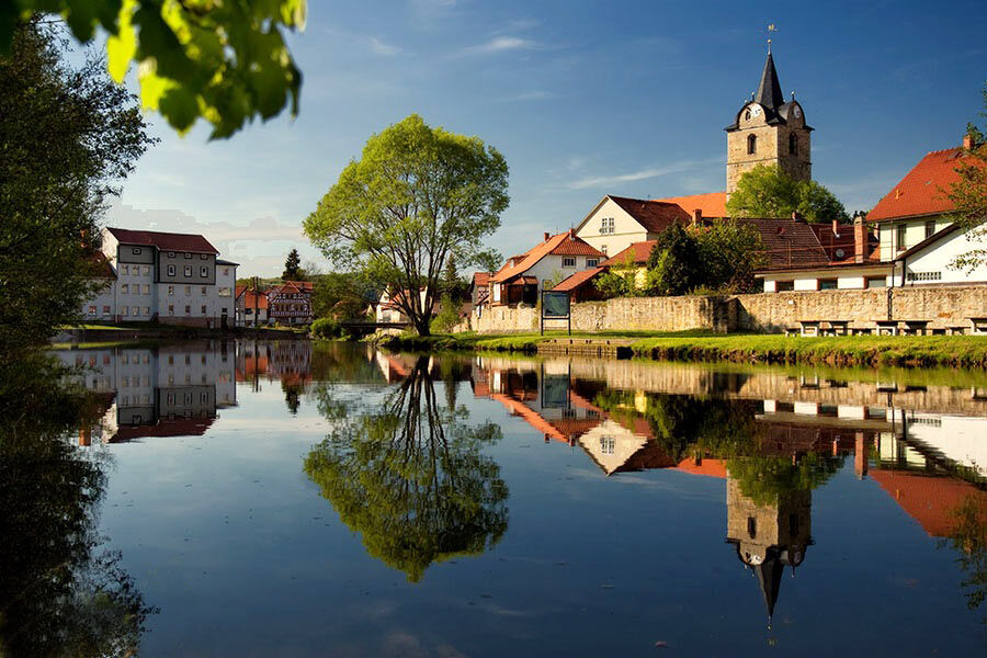
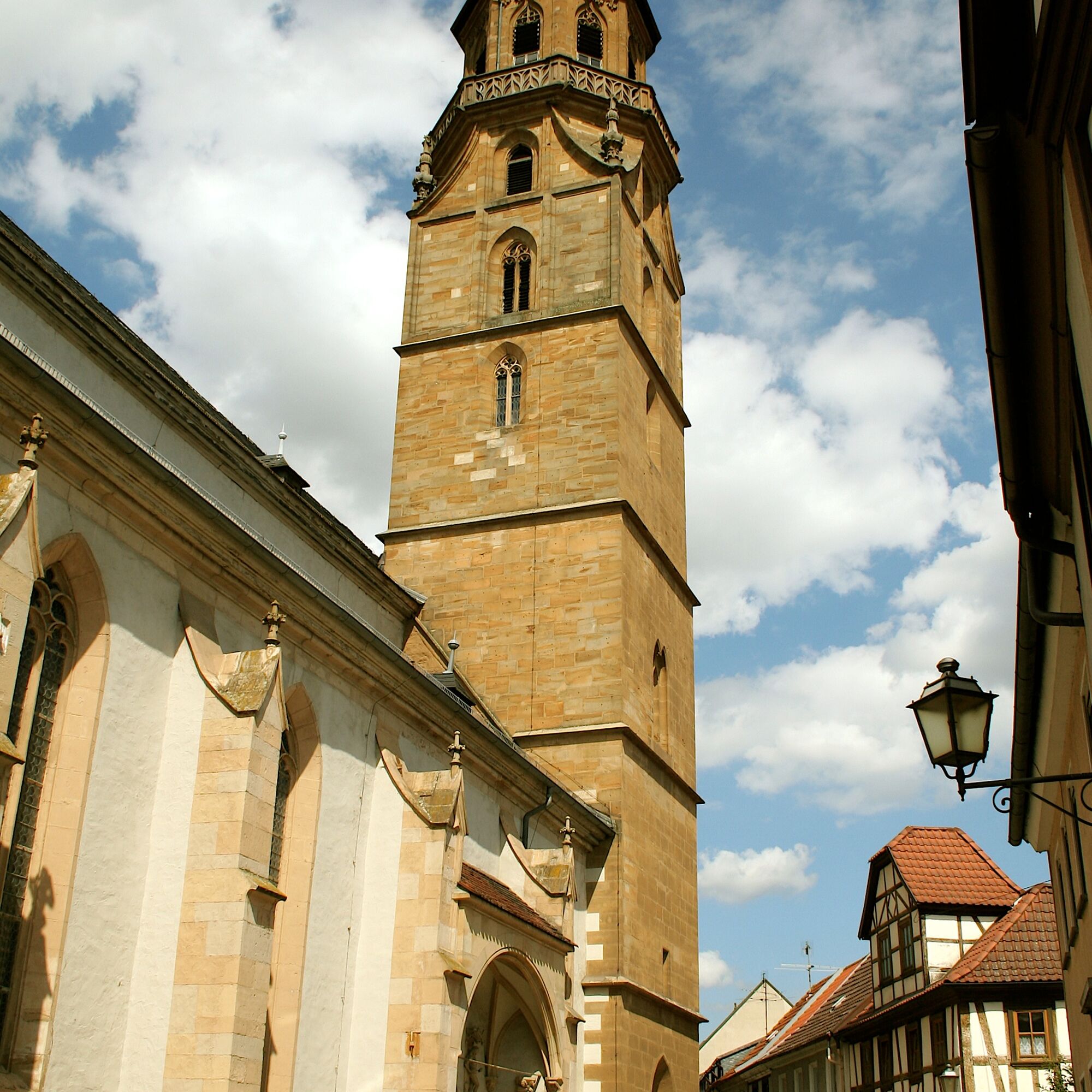
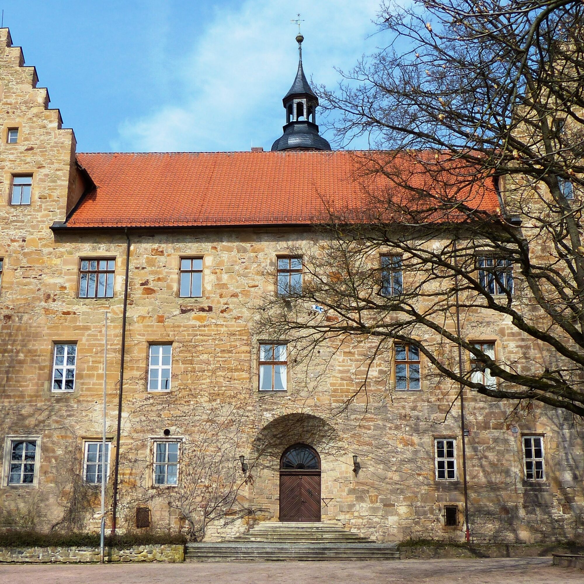
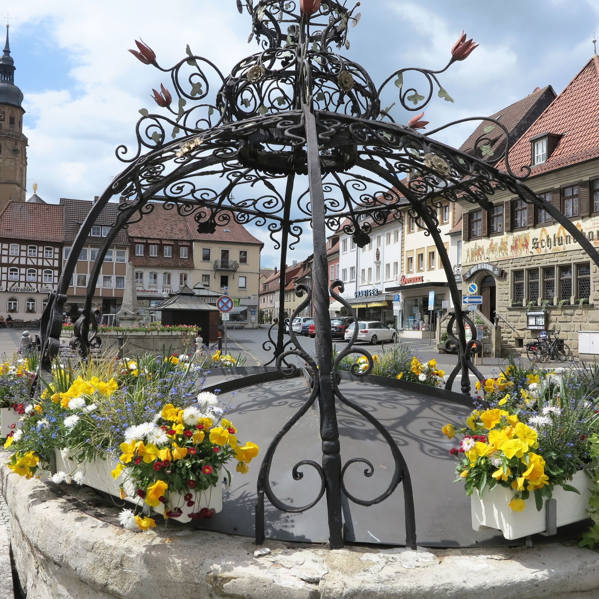
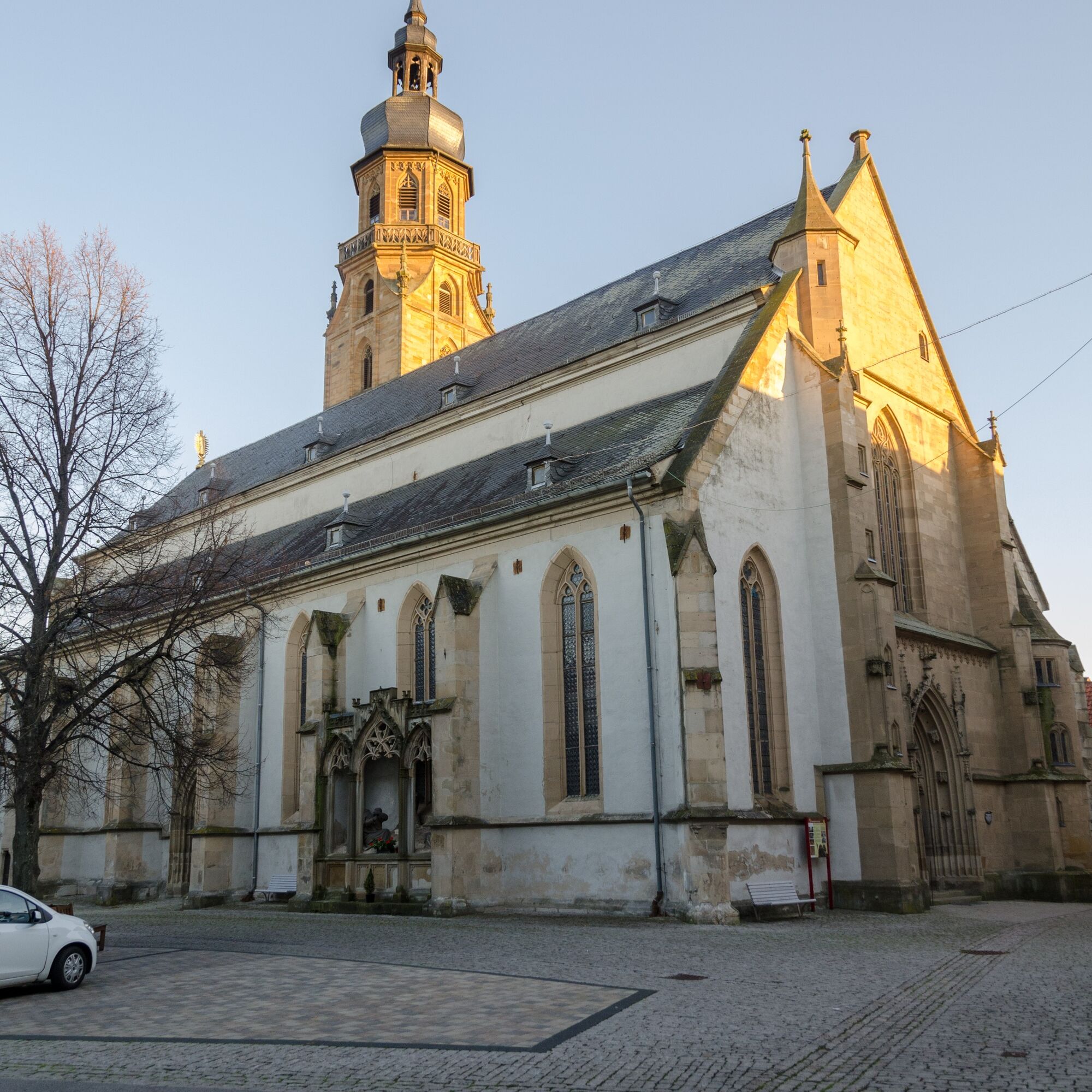
The "classic" Keltenradweg leads through Haina (connection to Meiningen-Römhild cycle path) and on to Römhild. In the old town center, the collegiate church and the Glücksburg Castle are particularly worth seeing. Food and drink are excellently provided at the Guten Quelle or the .
After Römhild, the route goes straight to the former inner-German border. Passing through the villages of Milz, Hindfeld, and Eicha, you reach the "Green Belt." On the Bavarian side, the route continues via Trappstadt and Eyershausen to Bad Königshofen.
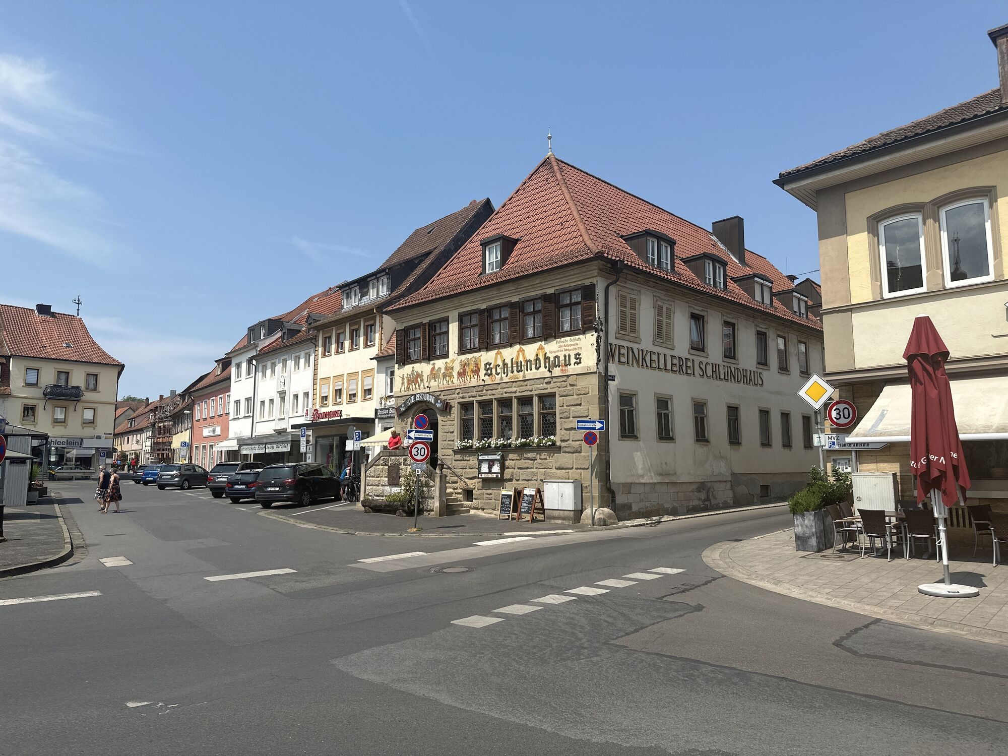
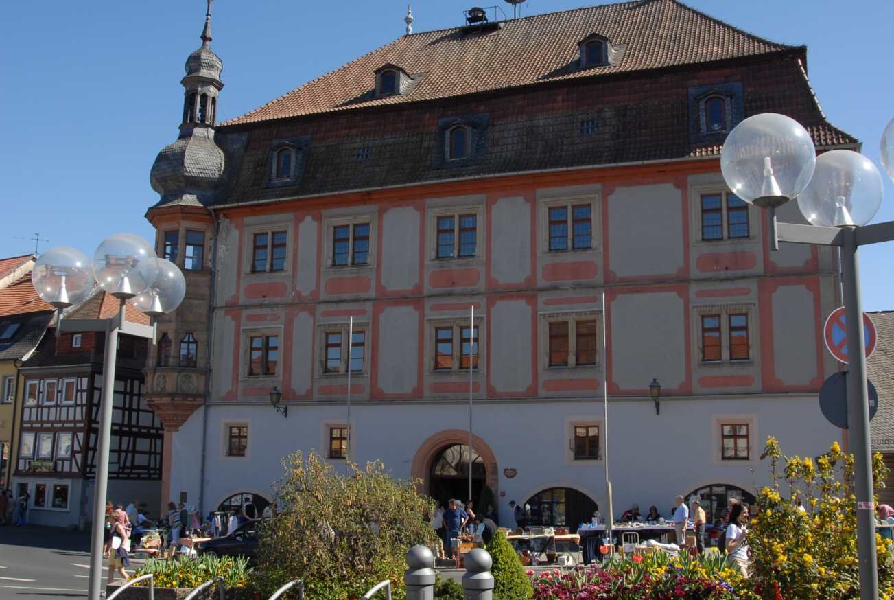
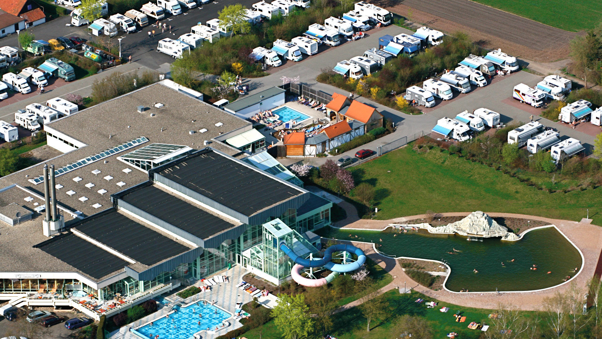
You reach the destination directly at the Frankentherme, which is especially known for its Finnish-Franconian sauna village and healing water lake.

Alternatively, you can start the bike route in Hildburghausen and ride downstream along the Werratal Cycle Path to Reurieth.
Official route (signposted):
Themar - Kloster Veßra - Grimmelshausen - Trostadt - Reurieth - Dingsleben - Haina - Römhild - Milz - Hindfeld - Eicha - Trappstadt - Eyershausen - Iptenhausen - Bad Königshofen
Ano
Functional clothing sufficient drink supplies first aid kit GPS navigation device puncture repair kit
The route partly runs on public roads. Please always pay attention to other traffic participants and comply with traffic regulations (StVO).
Check your bike for traffic safety before starting (lights [front / rear], reflectors).
The route is approved along its entire length for use with e-bikes and pedelecs.
Coming from the A71, take exit 22 (Meiningen-South) and continue on B89 towards Hildburghausen. Follow the federal road to Themar.
You can conveniently reach Themar by trains of the Süd Thüringen Bahn from Eisenach (long-distance connection) or Sonneberg.
From Bad Königshofen bus station (ZOB), bus line 8304 runs regularly to Bad Neustadt (Saale). From there you can connect to the DB Regio network towards Schweinfurt or Erfurt.
Use the Deutsche Bahn travel portal for travel planning to Themar.
Back to Themar:
You can find connection information from Bad Königshofen to Themar here:
Bad Königshofen → Themar
Use the parking facilities directly at the train station (Google NAV point)
3
For experienced bikers and mountain bikers, the detour to the Gleichberge near Römhild is worthwhile.
Oblíbené prohlídky v okolí
-
5.0
Celtic circular trail - Vachdorf
světloTuristika 7.56 km -
5.0
"On the Celtic Experience Trail" - Vachdorf-Wachenbrunn - Hike
středníTuristika 14.8 km -
Circular route - From Themar via the Werra Burgen Steig to Kloster Veßra
středníTuristika 8.40 km -
Kätzerode - Bibra - Grabfeld - Circular route
středníTuristika 8.66 km -
Hike - "Green Belt Thuringia" - Stage 6 - Zimmerau to Irmelshausen
středníTuristika 24.5 km -
Schwickershausen reservoir family hiking route - Grabfeld
středníTuristika 6.69 km -
"Roland Werner Memorial Path" - Jüchsen - Grabfeld - Circular route
středníTuristika 9.38 km -
"To the Nordheimer hut" - Nordheim - Grabfeld - circular route
středníTuristika 6.65 km -
Kätzerode - Wölfershausen - Grabfeld - Circular route
středníTuristika 7.44 km -
Thuringian long-distance cycle routes - 02 - Werratal Cycle Route - Stage 2: Hildburghausen → Meiningen
středníCyklistika na velkou vzdálenost 40.6 km
Pěší turistika a stopování


Nenechte si ujít nabídky a inspiraci pro vaši příští dovolenou
Vaše e-mailová adresa byl přidán do poštovního seznamu.