


Cycle tour - "Mommelstein Cycle Route" - From the Rennsteig to the Werra Valley - Thuringian Forest
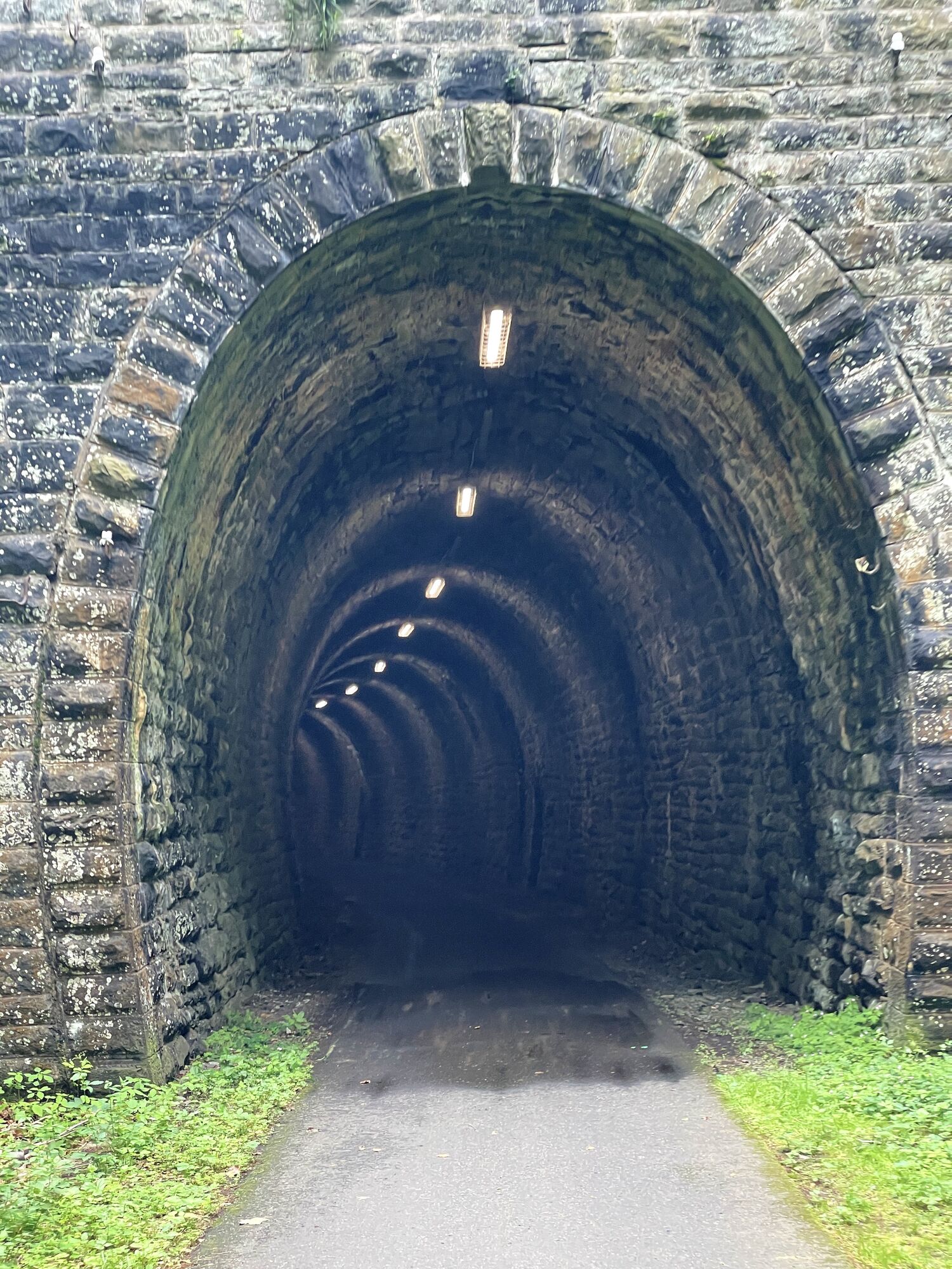

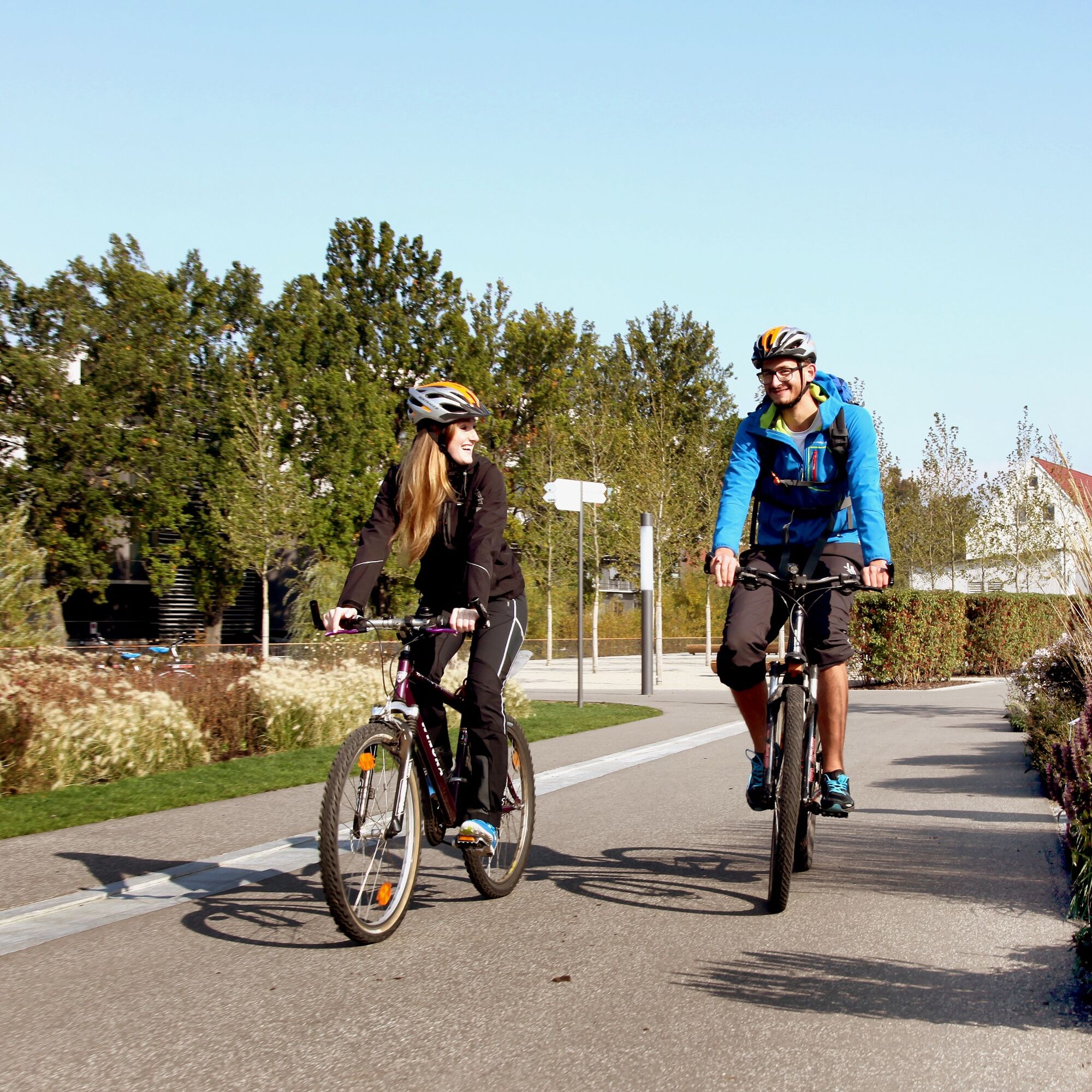
One of the most scenic cycle paths in Thuringia is the Mommelstein Cycle Path. On the route of the the former Schmalkalden - Brotterode railroad line. Now, enthusiastic cyclists can ride their bikes along...
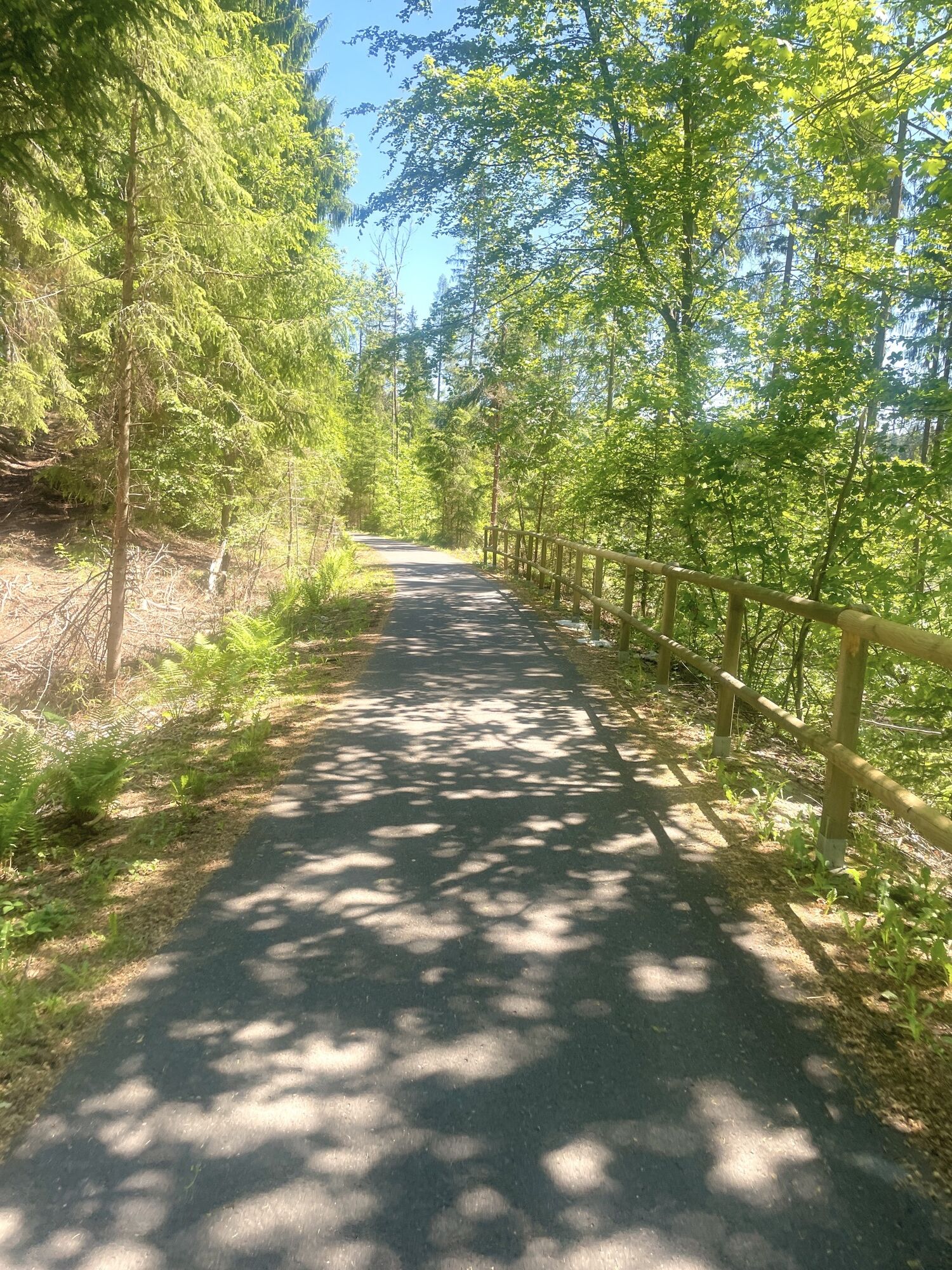
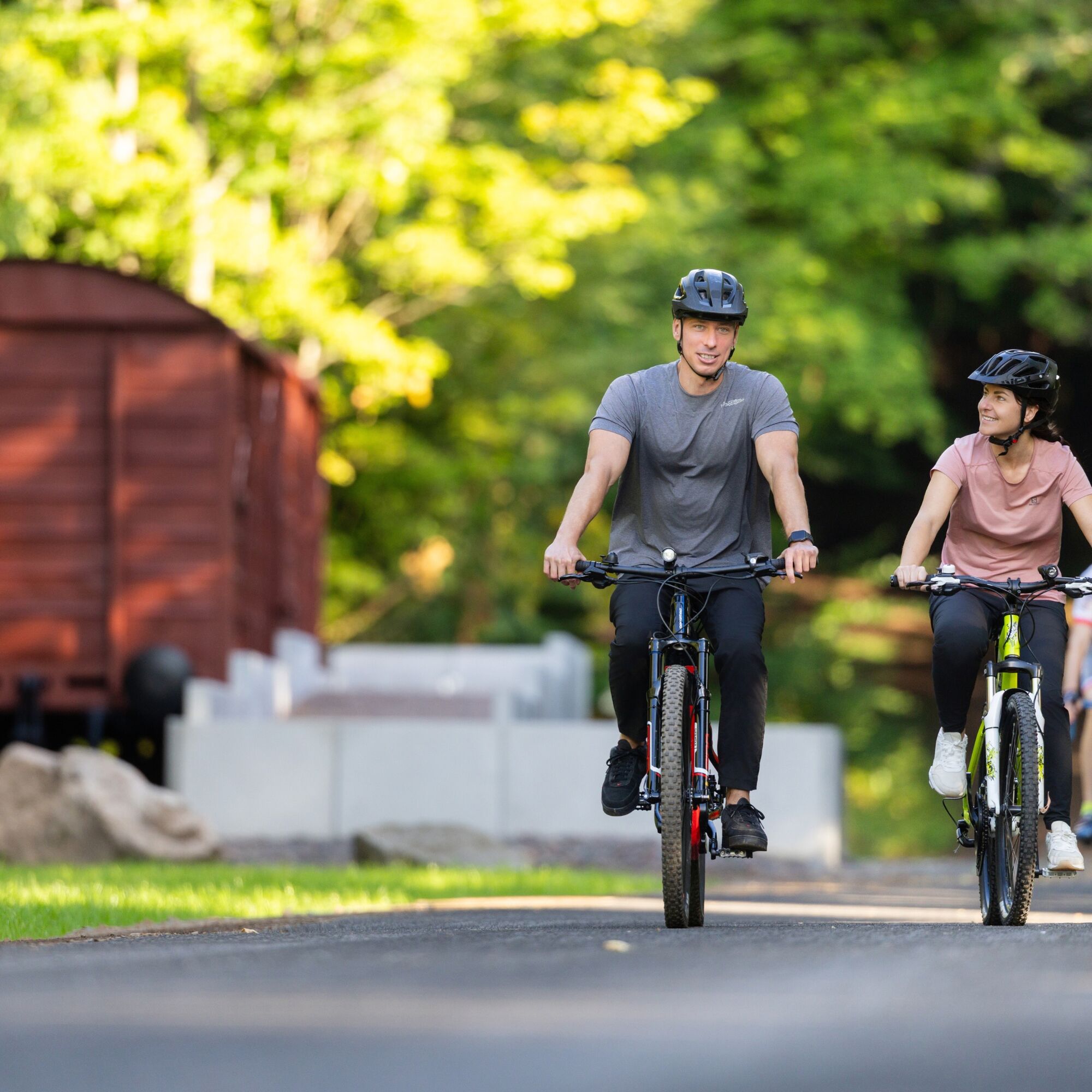
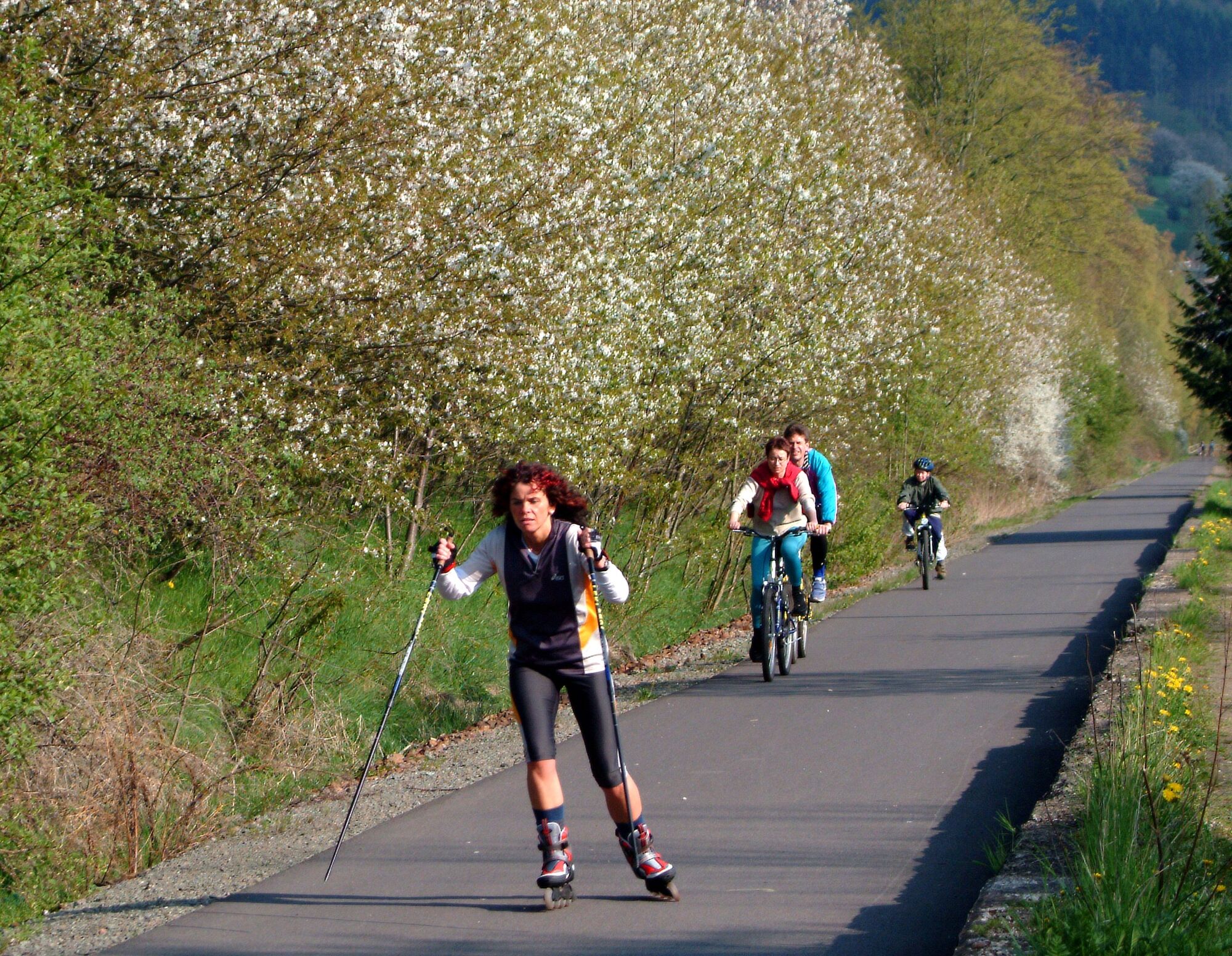
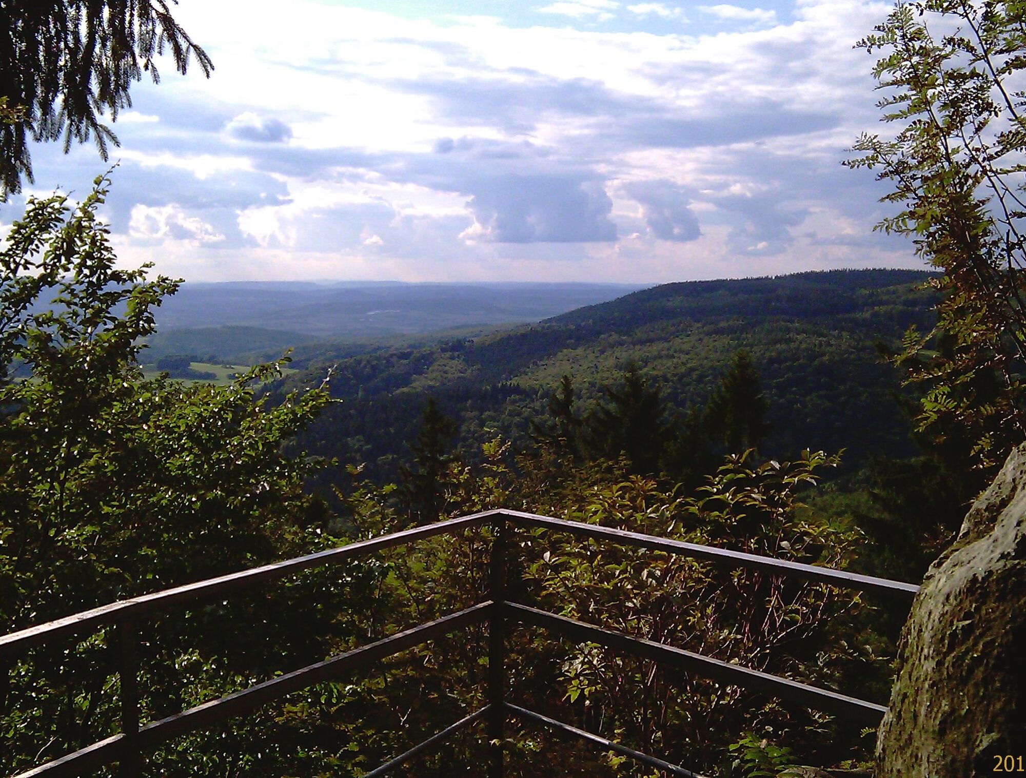
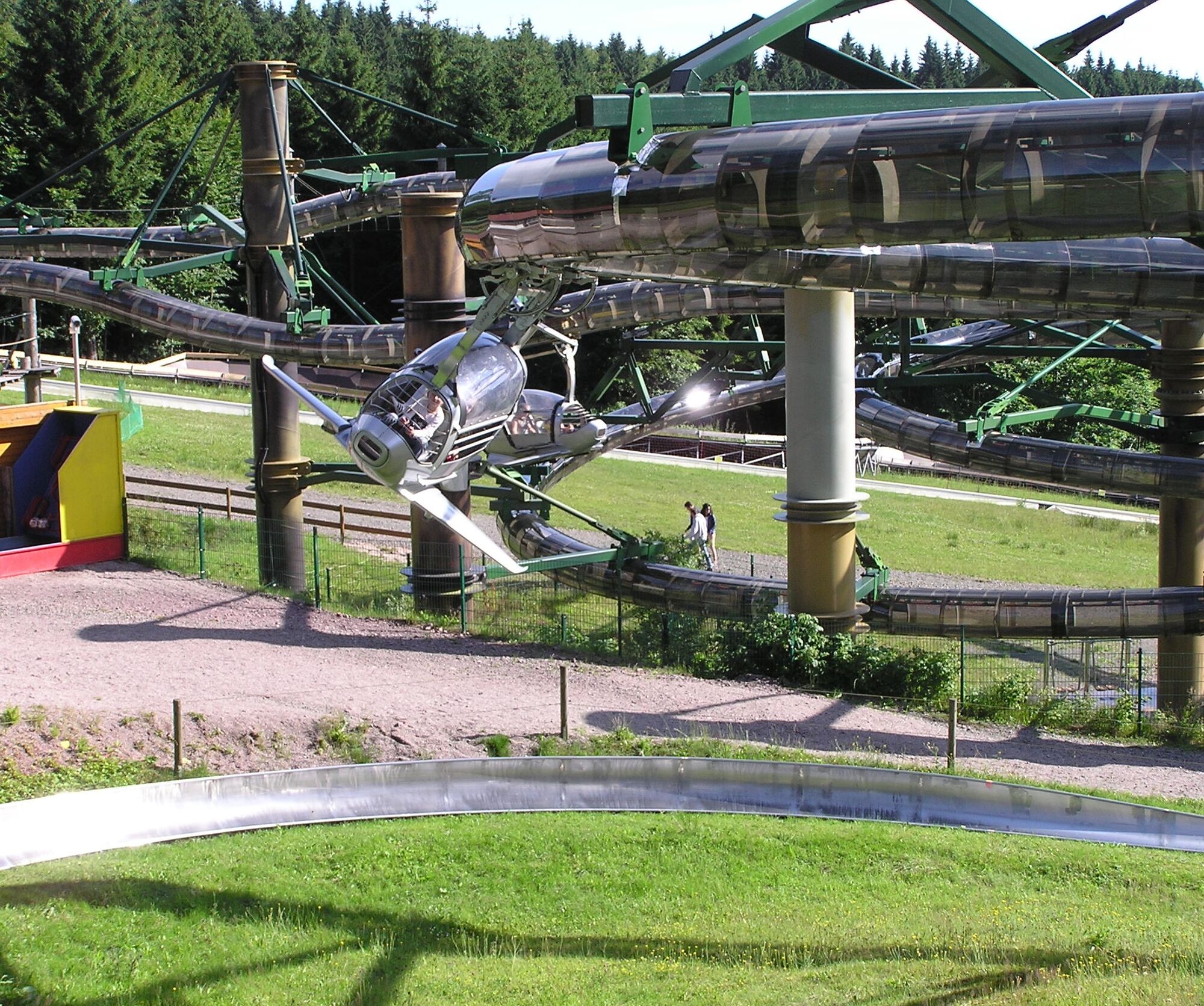
The tour starts at Grenzwiese (near the summer toboggan run) and initially takes a moderate route towards Kalte Heide. A solid basic level of fitness and safe riding technique are important for the route, as the ground changes and there are a few inclines to overcome. After the first section, you have the opportunity to take a short break at Kalte Heide before continuing through quiet wooded areas to Reitbahn. This section is characterized by particularly beautiful landscapes. The next destination is the Inselbergbad Brotterode - ideal for a short breather to recharge your batteries. The route then leads to Brotterode bus station and finally to the former Auwallenburg railroad station, where an old goods wagon has found a new home at the edge of the cycle path since the new section of the cycle path was extended. Inside is an exhibition on the history of the railroad line - a special highlight for all railroad fans and a perfect rest stop for all interested cyclists.
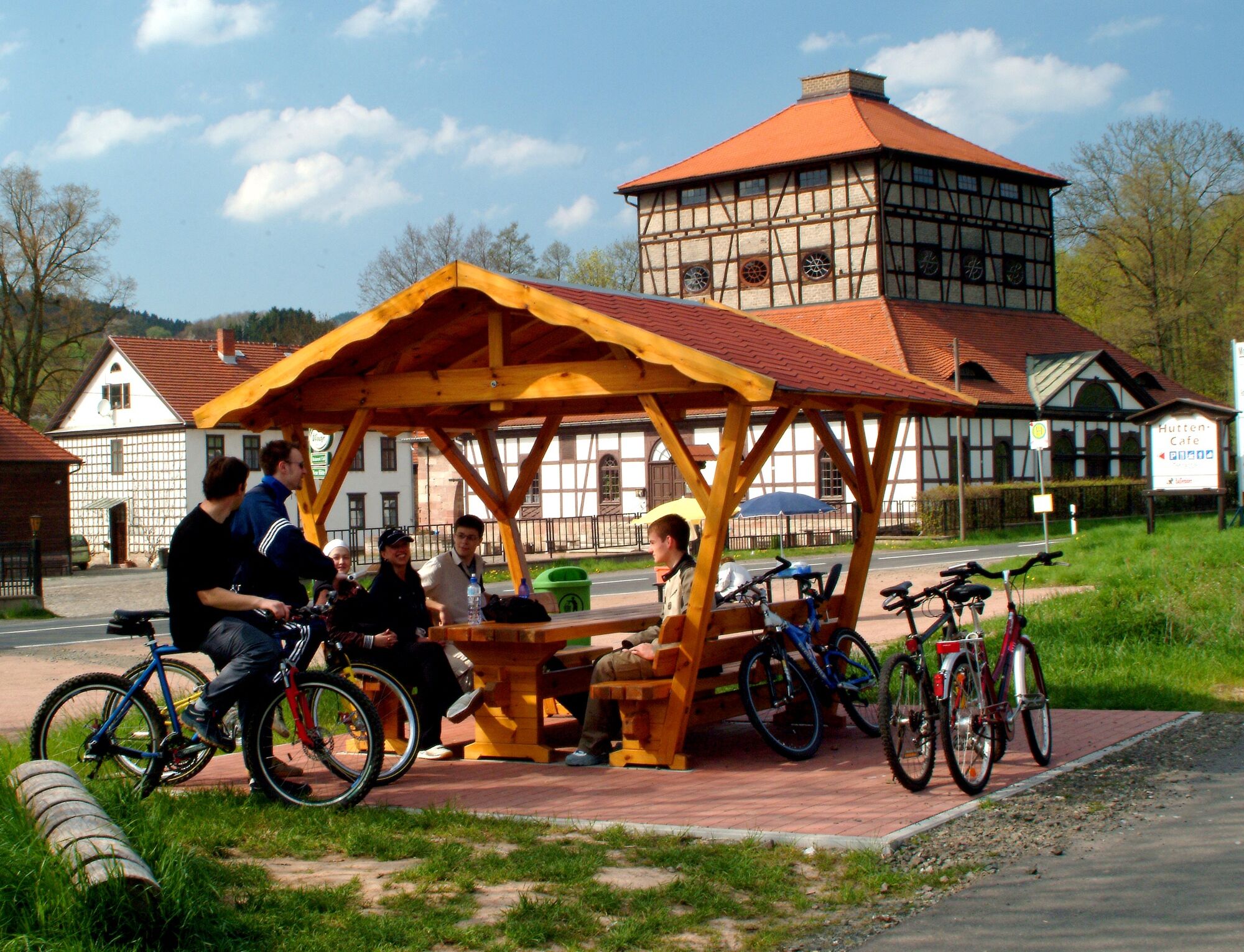
From there, the route continues on asphalt along the former Schmalkalden - Brotterode railroad line through various villages in the Schmalkalden area, including Kleinschmalkalden, Hohleborn, Floh-Seligenthal, Schmalkalden, Mittelschmalkalden, Niederschmalkalden and finally Wernshausen. The half-timbered houses and historic buildings along the way give the tour a cultural touch and invite you to take some unique photos - a short detour to Schmalkalden town center is particularly worthwhile.
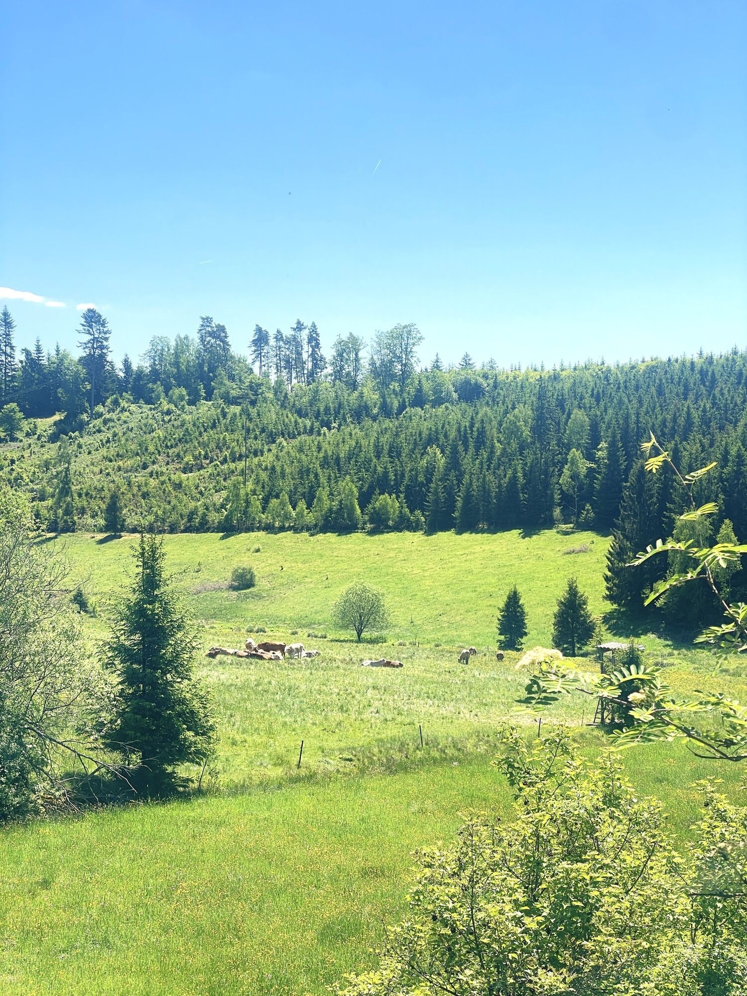
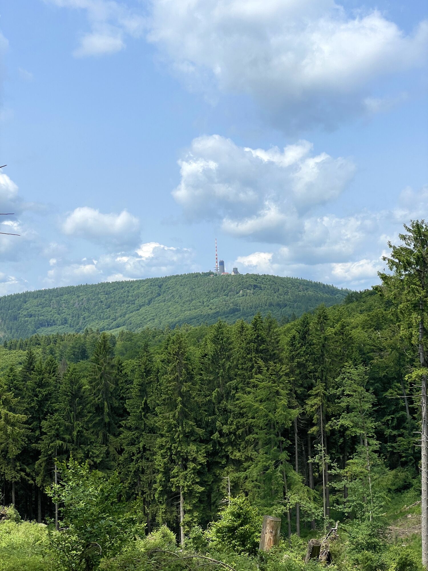
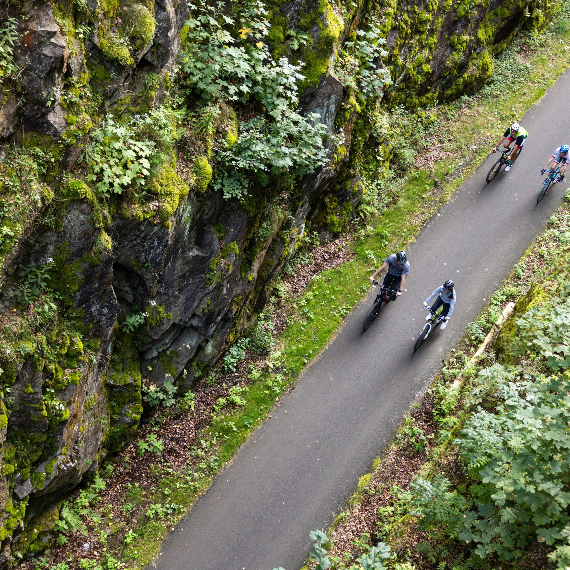
The varied landscape with its partly open, partly winding sections and occasional climbs makes the tour both scenically interesting and technically challenging. The pace can be adjusted depending on the weather and personal fitness. You should allow around two and a half to three hours for the entire route, although breaks or weather conditions can affect the duration. The Mommelstein Cycle Trail is primarily aimed at experienced cyclists who are looking for a well-planned tour with beautiful views and cultural impressions and who also want to take on small to demanding challenges.

functional clothing
sufficient supplies of drinks
first aid kit
GPS navigation device
puncture repair kit
Current road closure between Kleinschmalkalden and Trusetal. A bypass is possible
.A4 from Eisenach/Erfurt, take exit 41a (Walterhausen) and continue on the L1027 towards Bad Tabarz (via the B88 connection). Continue on the L1024 (Inselsbergstraße) in the direction of Brotterode-Trusetal
Start Wernshausen:
Coming from the B19, take the Niederschmalkalden / Wernshausen exit and follow the L1026 towards Wernshausen.
Start/end point Kleiner Inselberg Bus connection from Brotterode-Trusetal and Bad Tabarz
Kleiner Inselberg: (Google-NAV-Point)
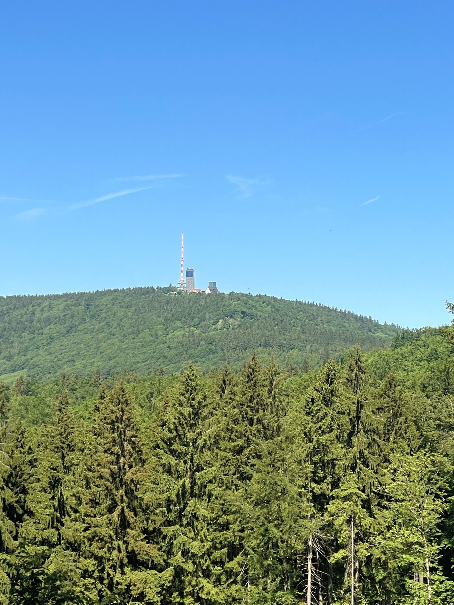
For more athletic cyclists, the Mommelstein viewing rock can also be reached via a path.
A visit to the Neue Hütte Schmalkalden blast furnace museum with adjoining beer garden offers the perfect refreshment stop with an experience factor along the way.
The Viba Nougat World with its sweet experiences for the whole family is one of the absolute highlights along the trail - a must for all those with a sweet tooth, big or small.
Oblíbené prohlídky v okolí
- 4,4
Circular hike "Old Tambach Dam", Tambach-D., Thuringian Forest
středníTuristika 8,33 km - 4,5
Summit and panoramic route - Route 1 - Bad Tabarz
středníTuristika 10,9 km - 3,8
Wanderung zum Spitterfall
středníTuristika 14,6 km - 4,8
Circular hike - Schmalwasser reservoir - Tambach-Dietharz - Thuringian Forest
středníTuristika 13,8 km Tabarzer Vulkansteig
středníTuristika 9,91 km- 3,2
Von Friedrichroda zum großen Inselsberg
středníTuristika 22,4 km - 4,5
Circular hiking trail - "Trusetal Landmark Route" - Thuringian Forest
světloTuristika 4,02 km - 5,0
Inselsberg tour - Tour 2 - Bad Tabarz
heavyTuristika 15,1 km - 3,5
Backofenloch circular route - route 6 - Bad Tabarz
středníTuristika 7,02 km - 4,0
Circular route - Tanzbuche - Friedrichroda - Thuringian Forest
středníTuristika 10,2 km
Pěší turistika a stopování


Nenechte si ujít nabídky a inspiraci pro vaši příští dovolenou
Vaše e-mailová adresa byl přidán do poštovního seznamu.