







Regional route 3 - "Rennsteig loop" - Thuringian Forest

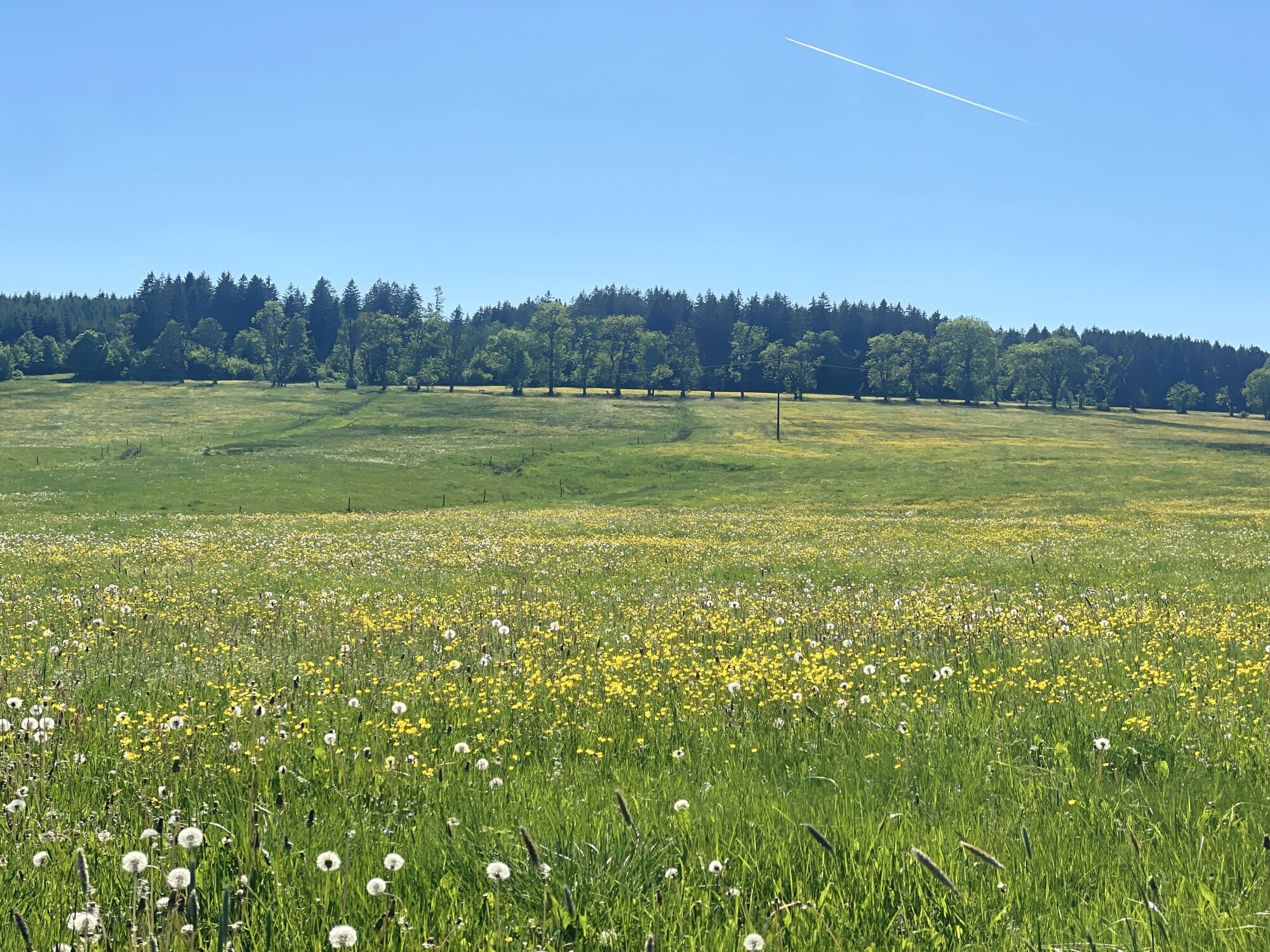
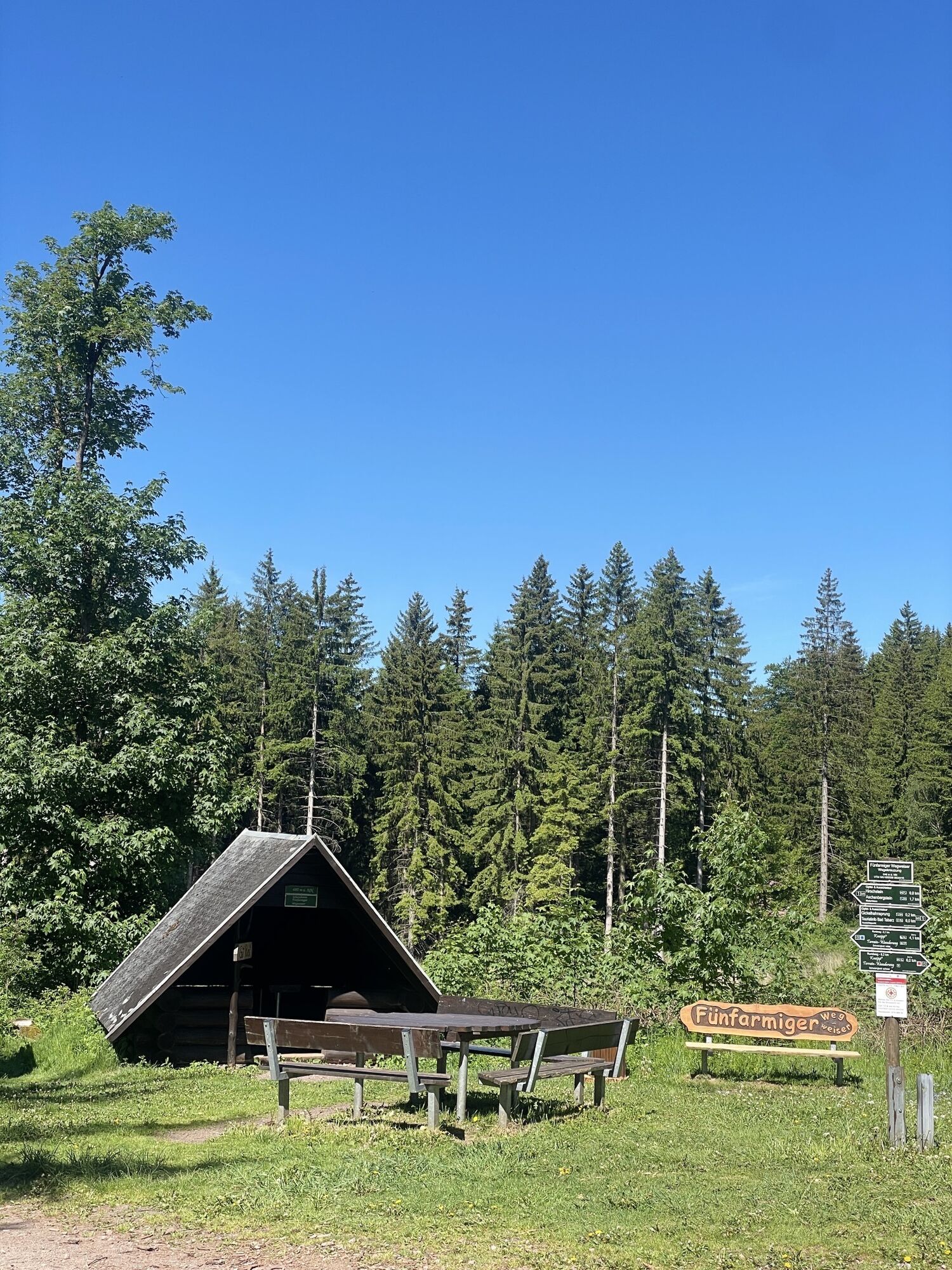
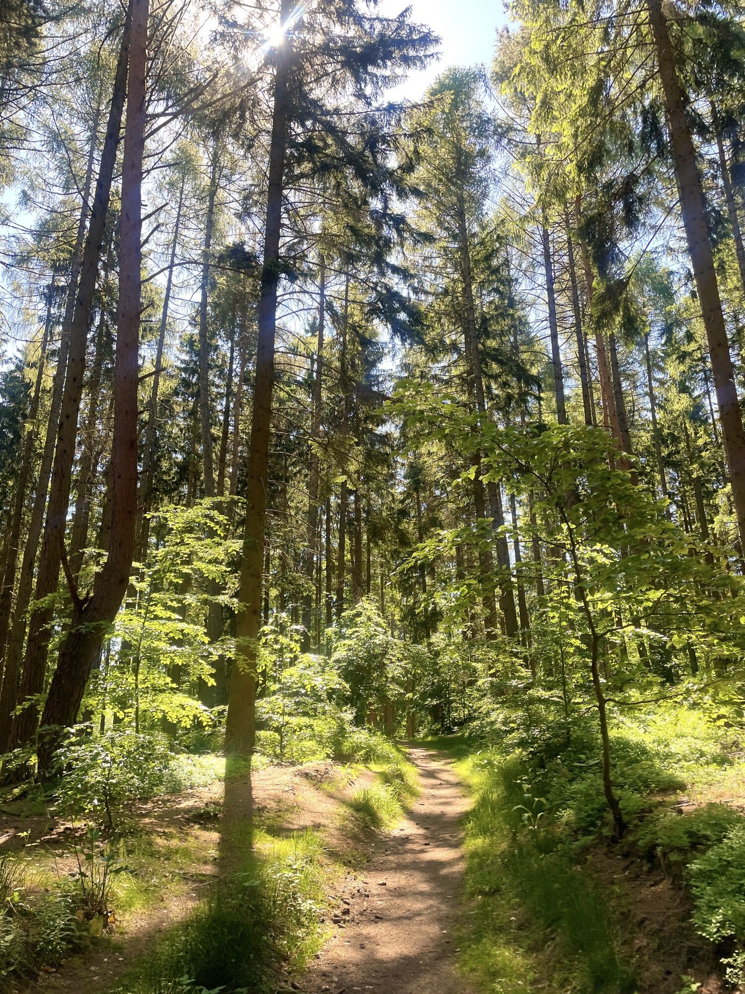
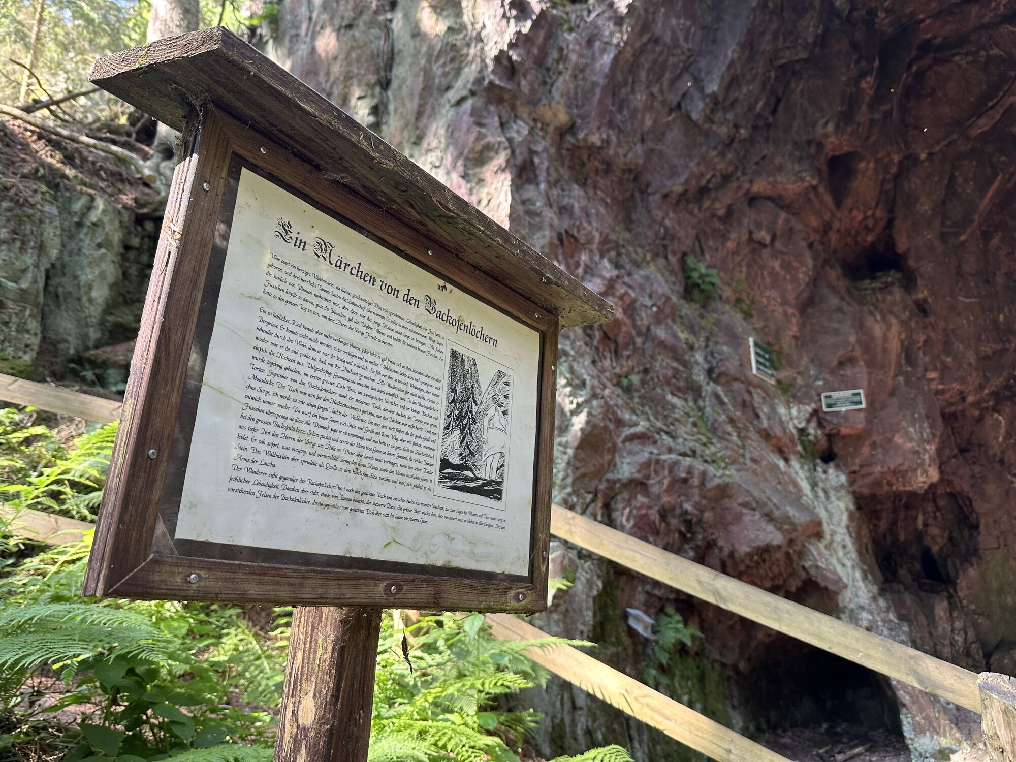
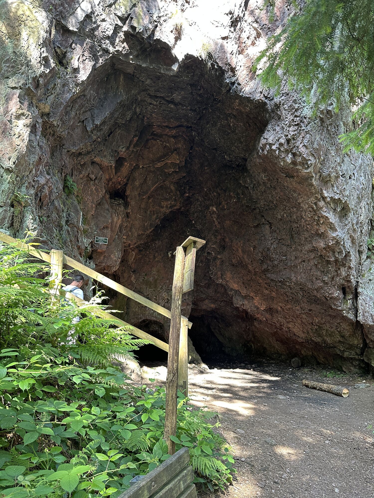
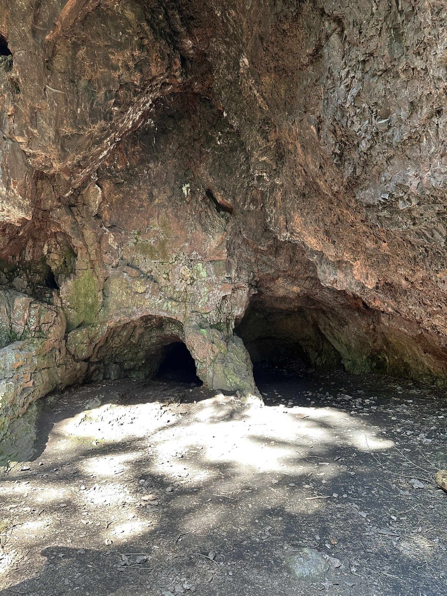
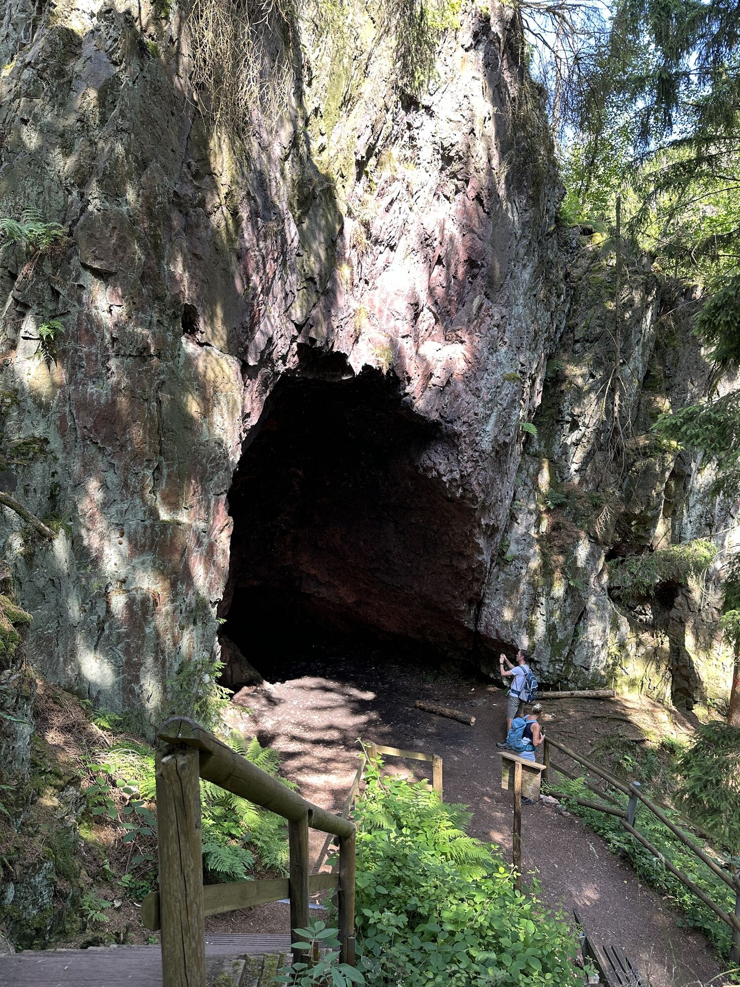

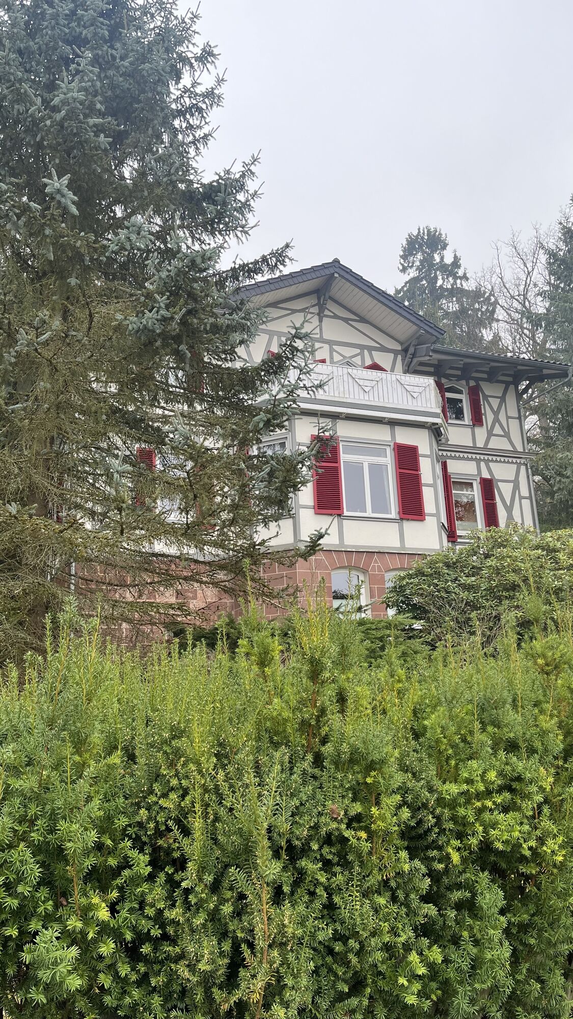
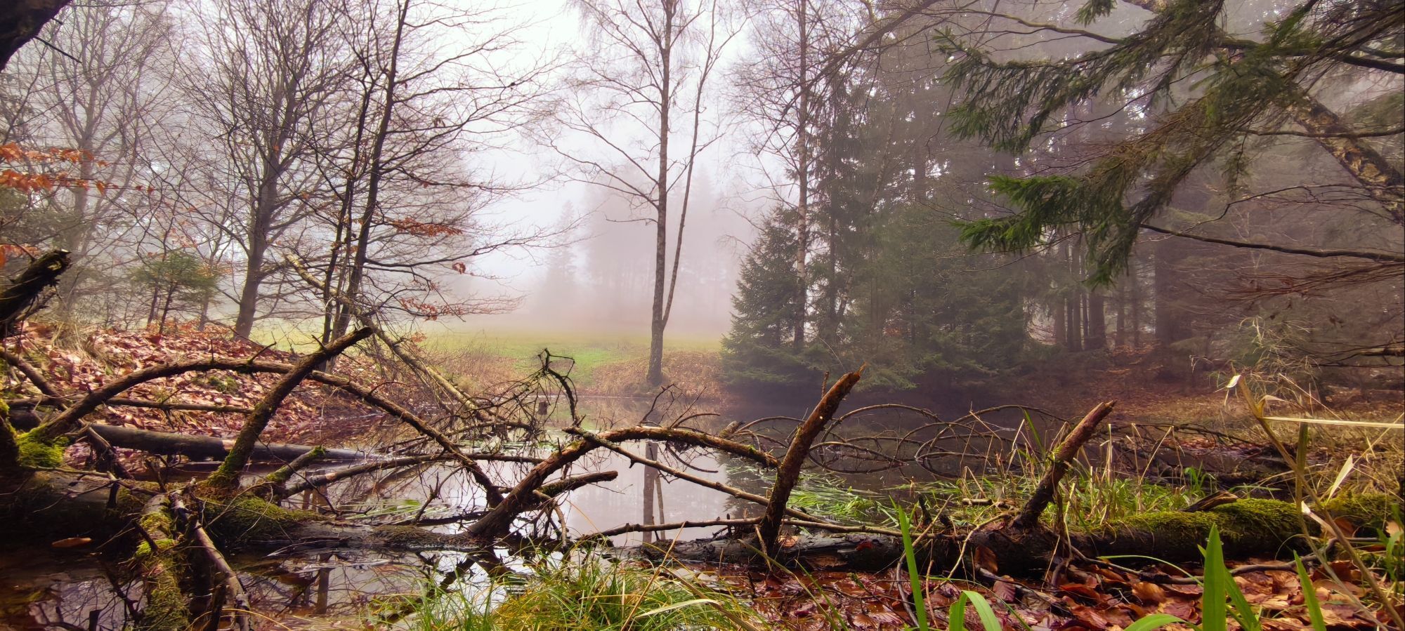
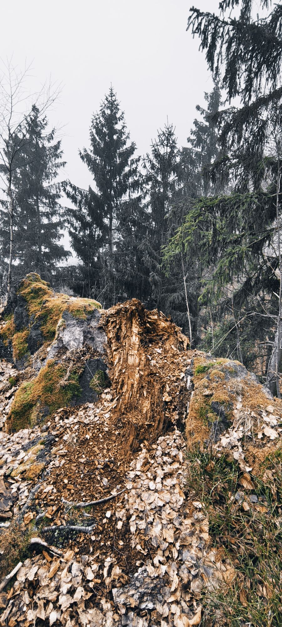
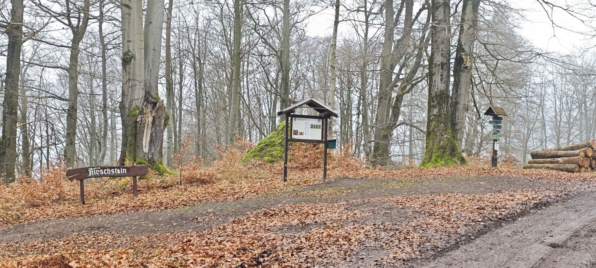
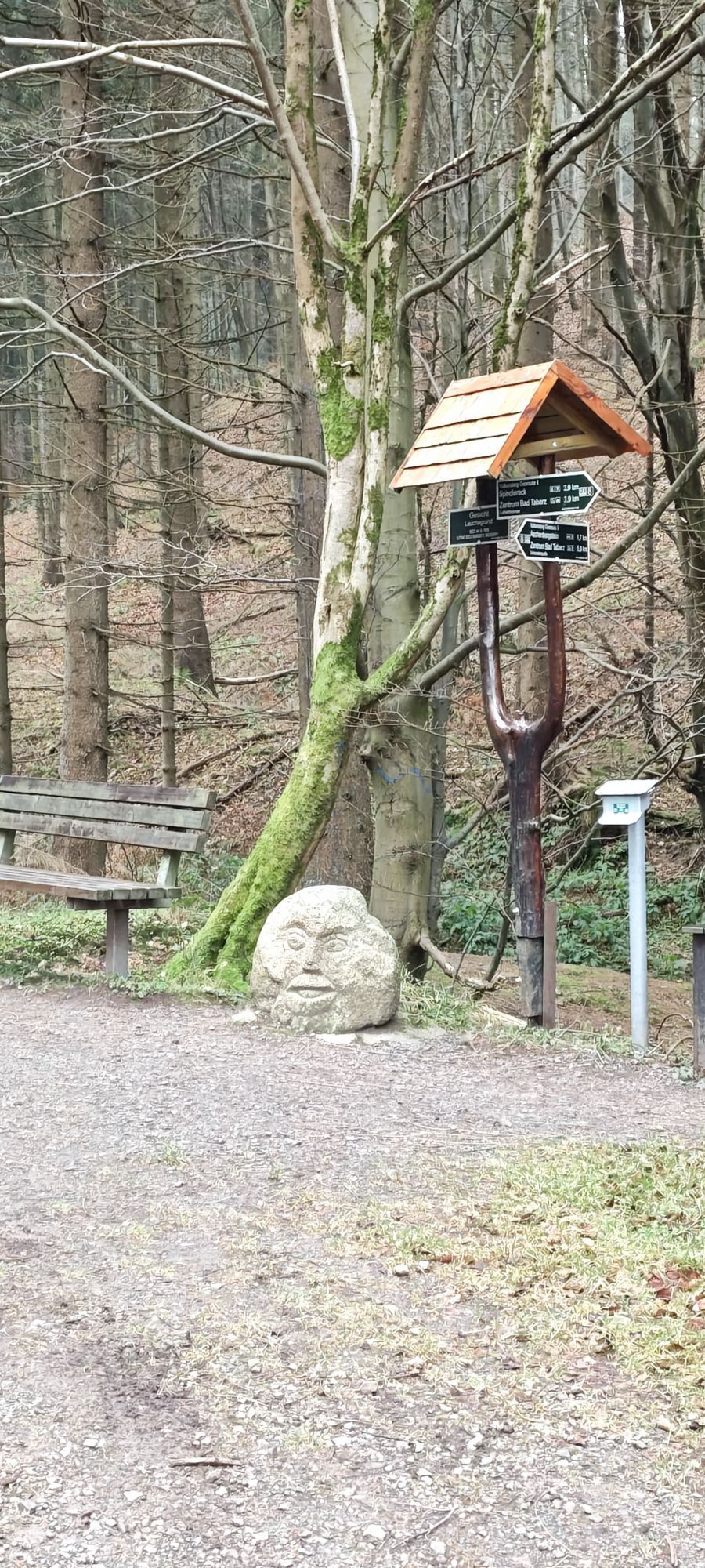
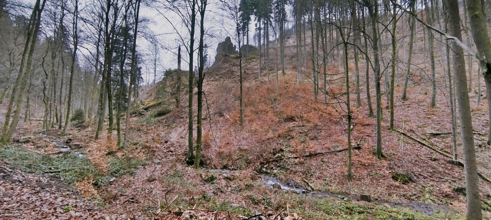
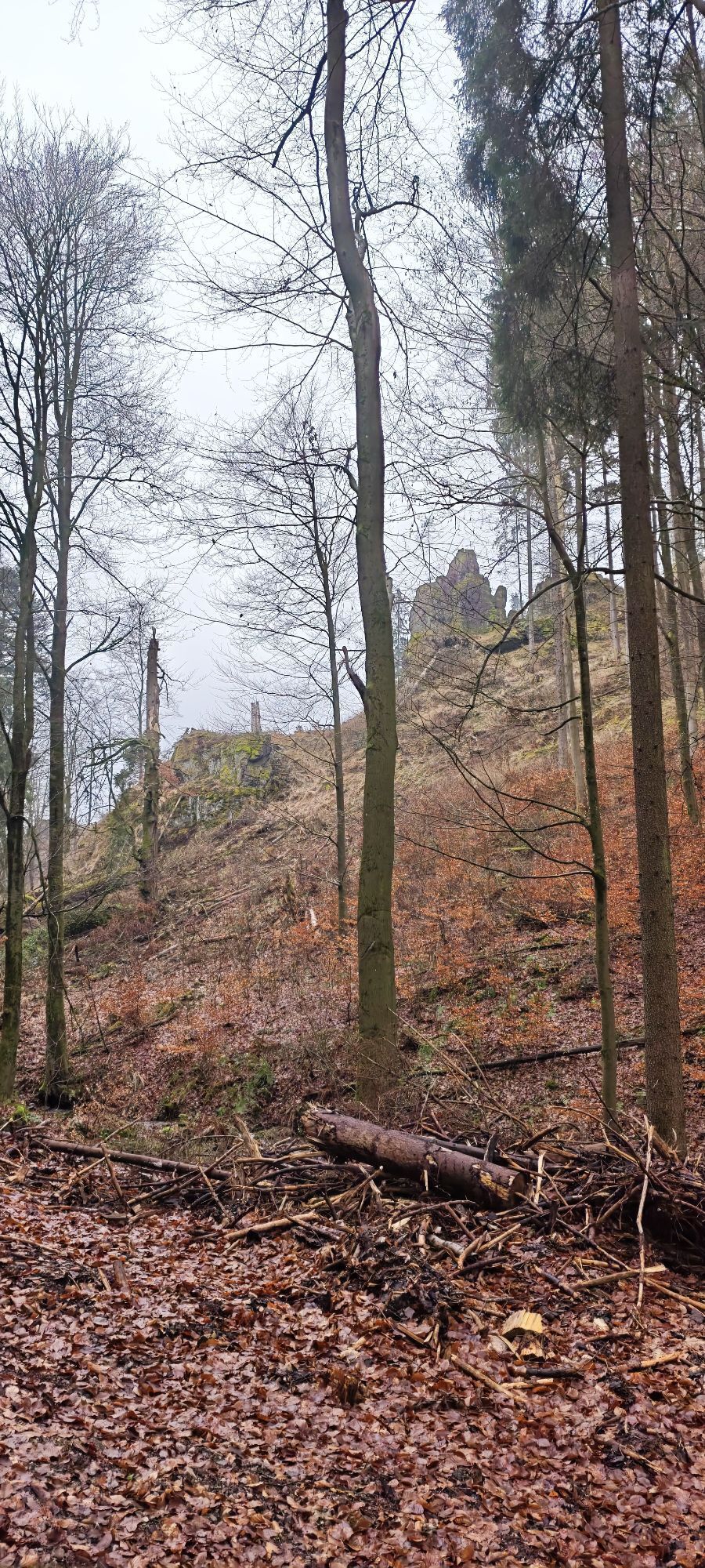
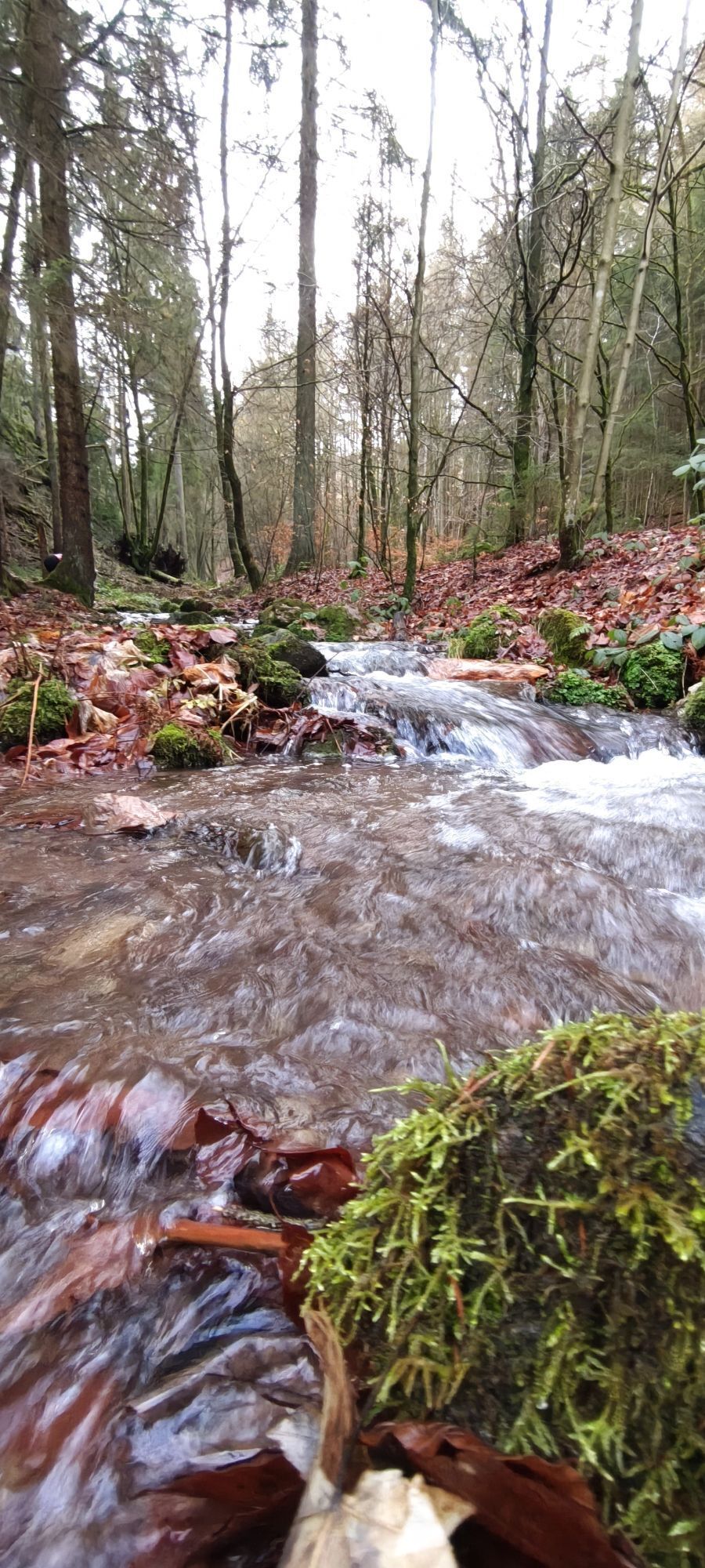
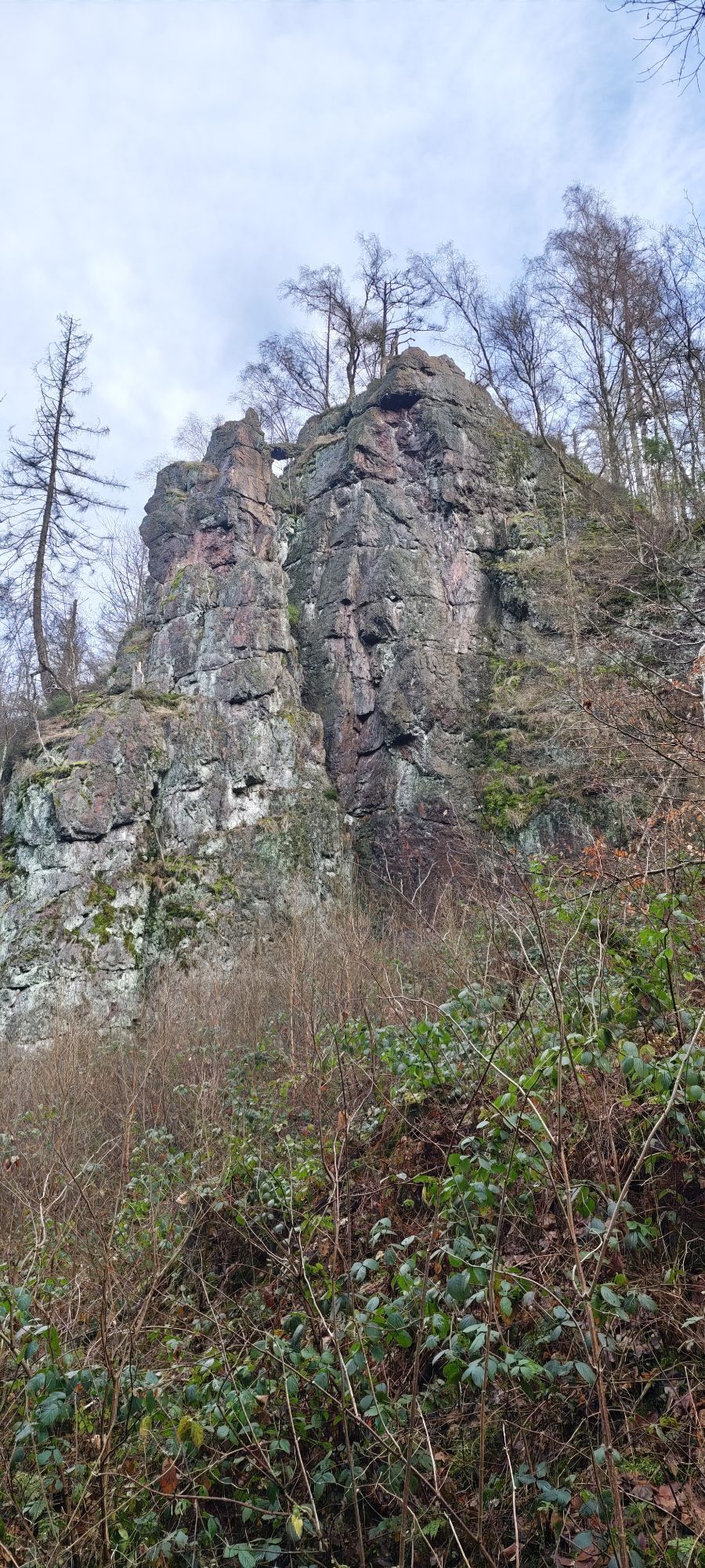
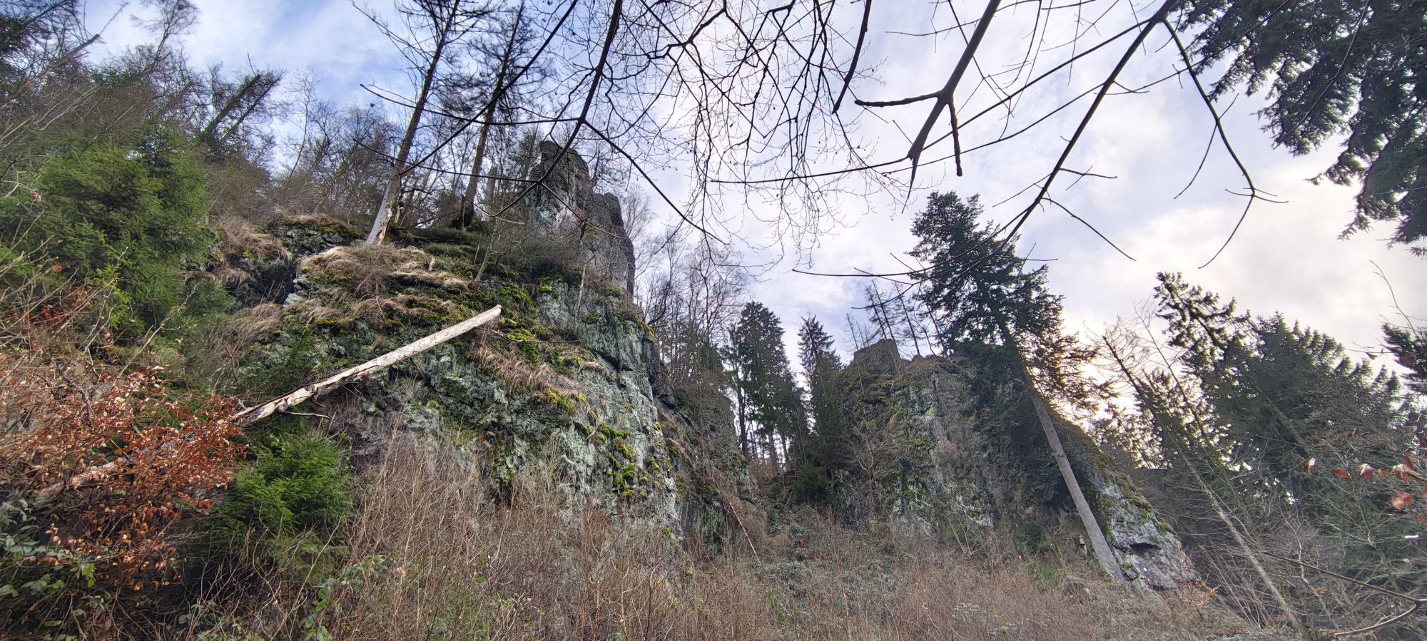
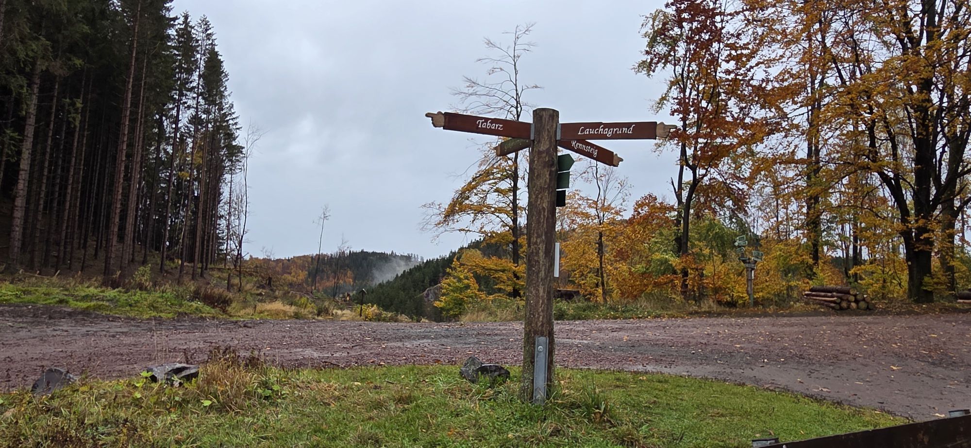

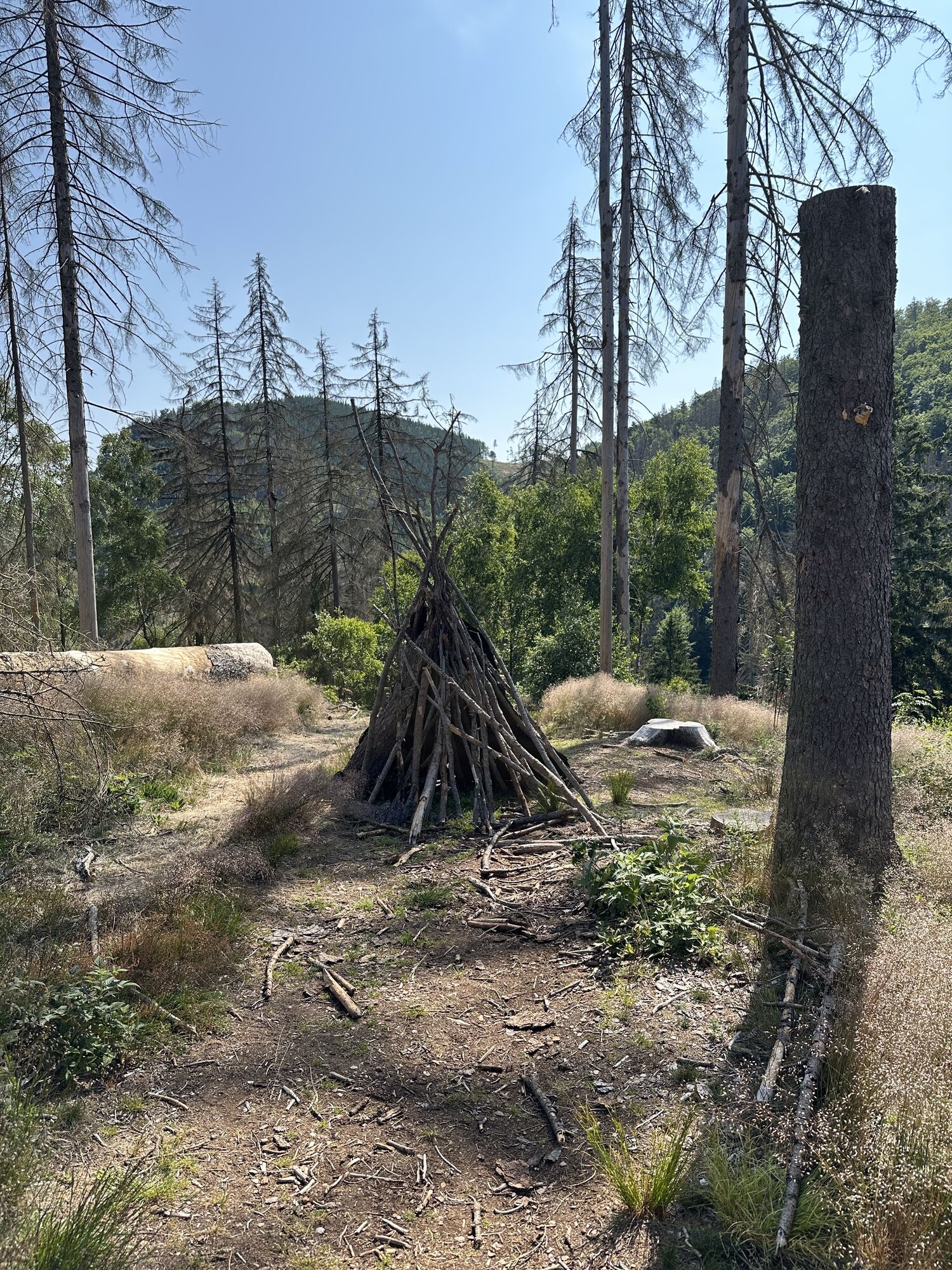
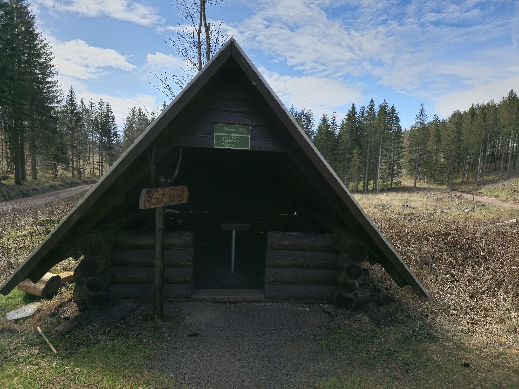
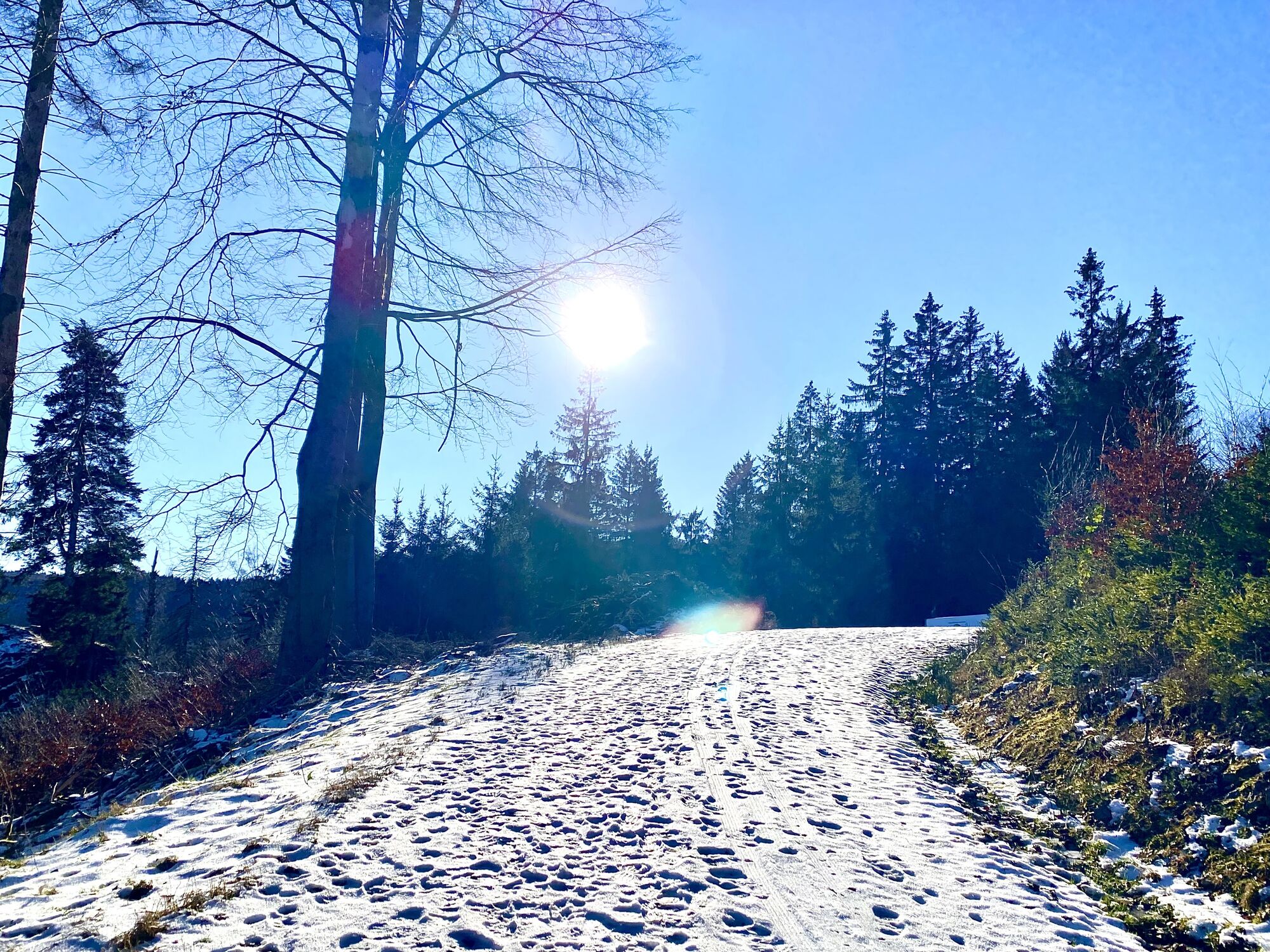
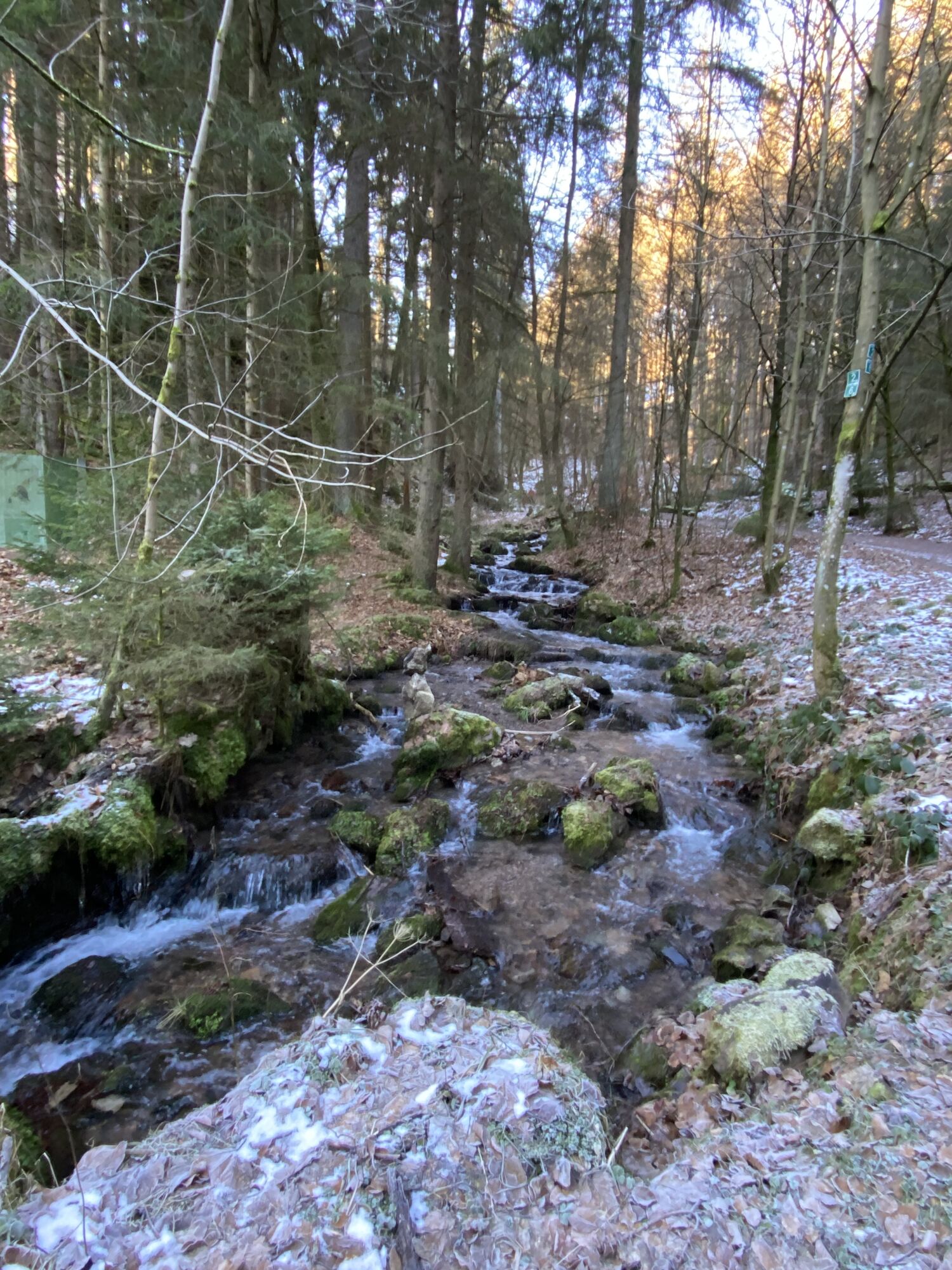
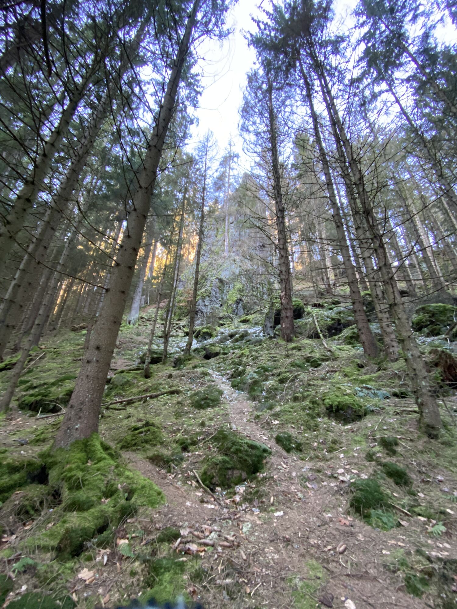
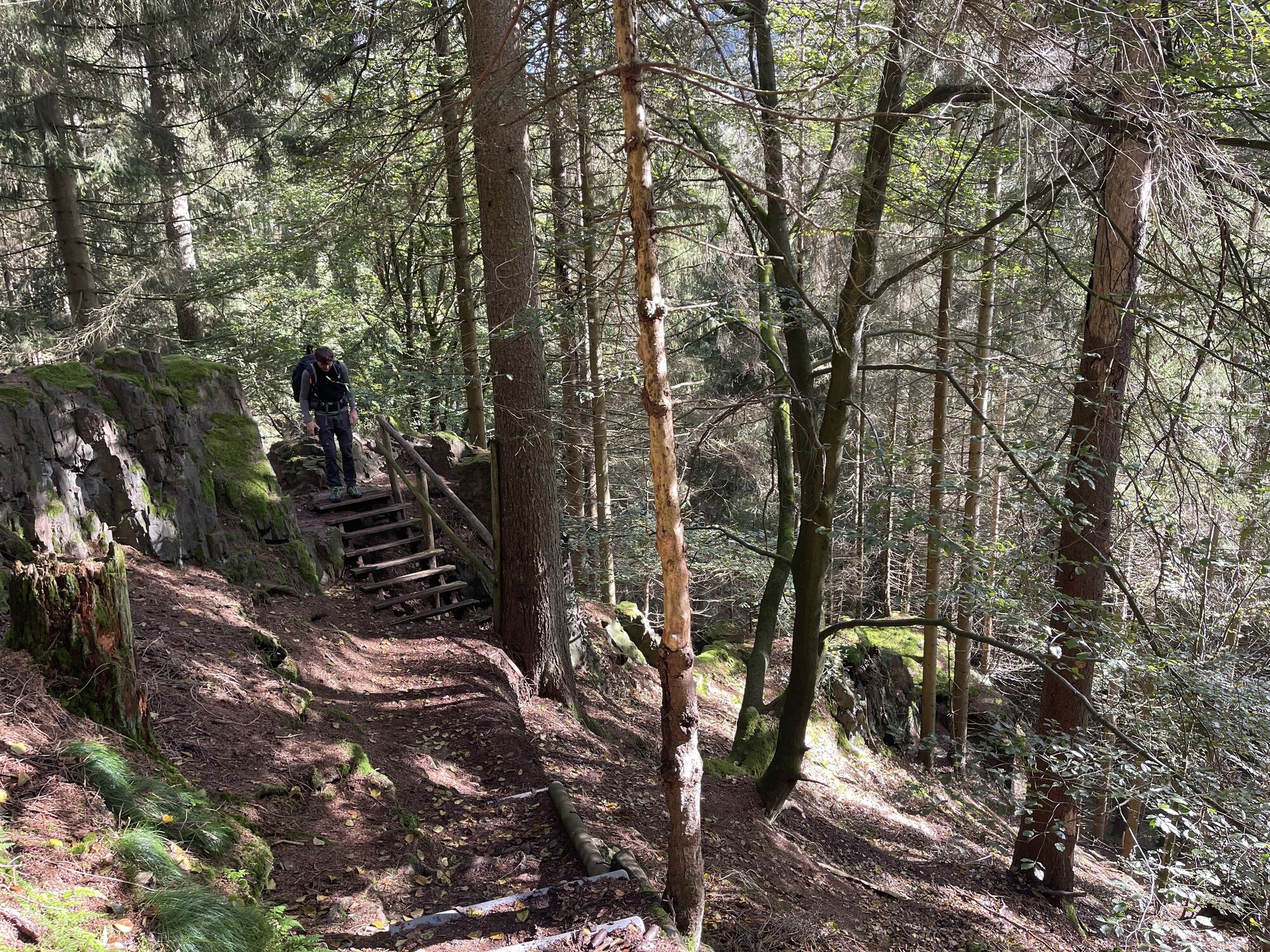
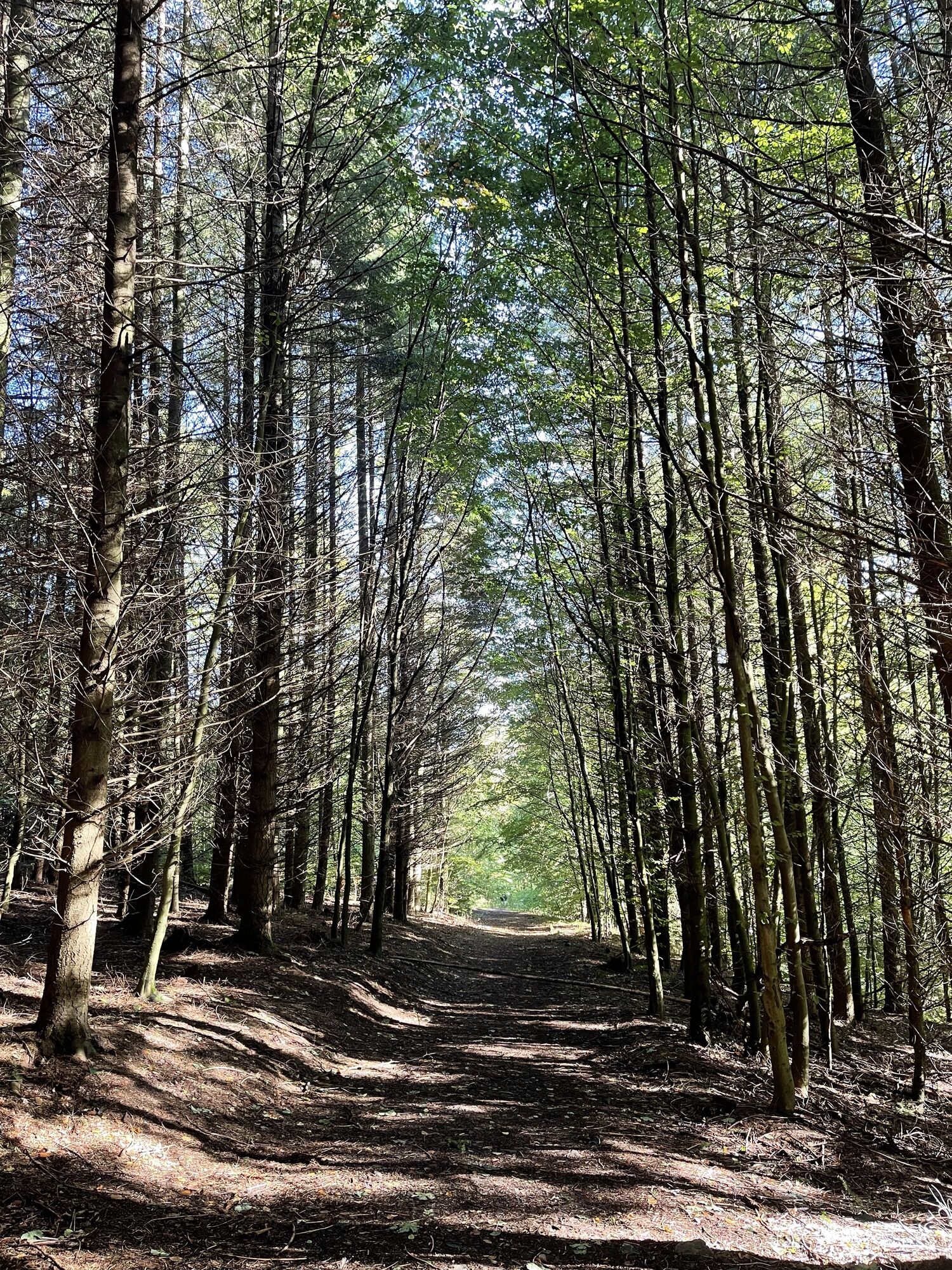
Up here – shortly after the Heuberghaus mountain inn – the Rennsteig loop also reaches its highest point at about 700 meters above sea level. From here it goes downhill through the Felsental Lauchagrund...
Up here – shortly after the Heuberghaus mountain inn – the Rennsteig loop also reaches its highest point at about 700 meters above sea level. From here it goes downhill through the Felsental Lauchagrund and the two spa towns Bad Tabarz and Friedrichroda. After about 6 km you reach Schönau v.d.W. and the entry to the Flößgraben circular route. It branches off in Herrenhof to the Apfelstädt cycle route and leads back to Georgenthal.

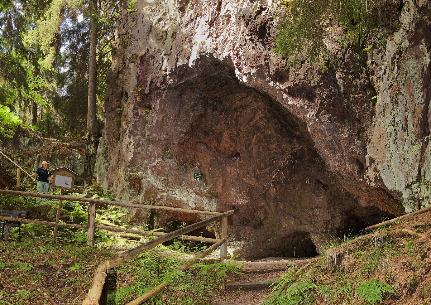
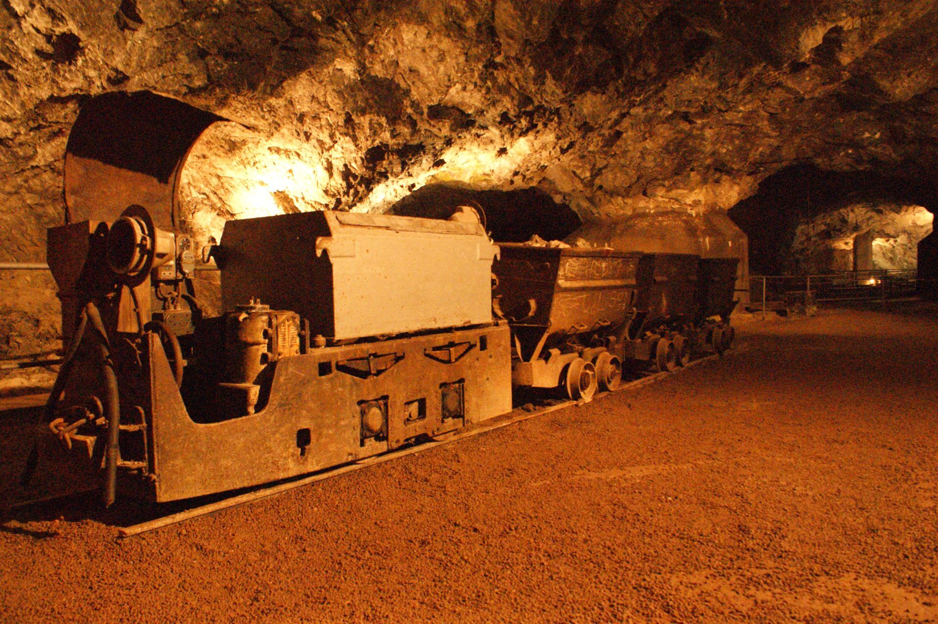
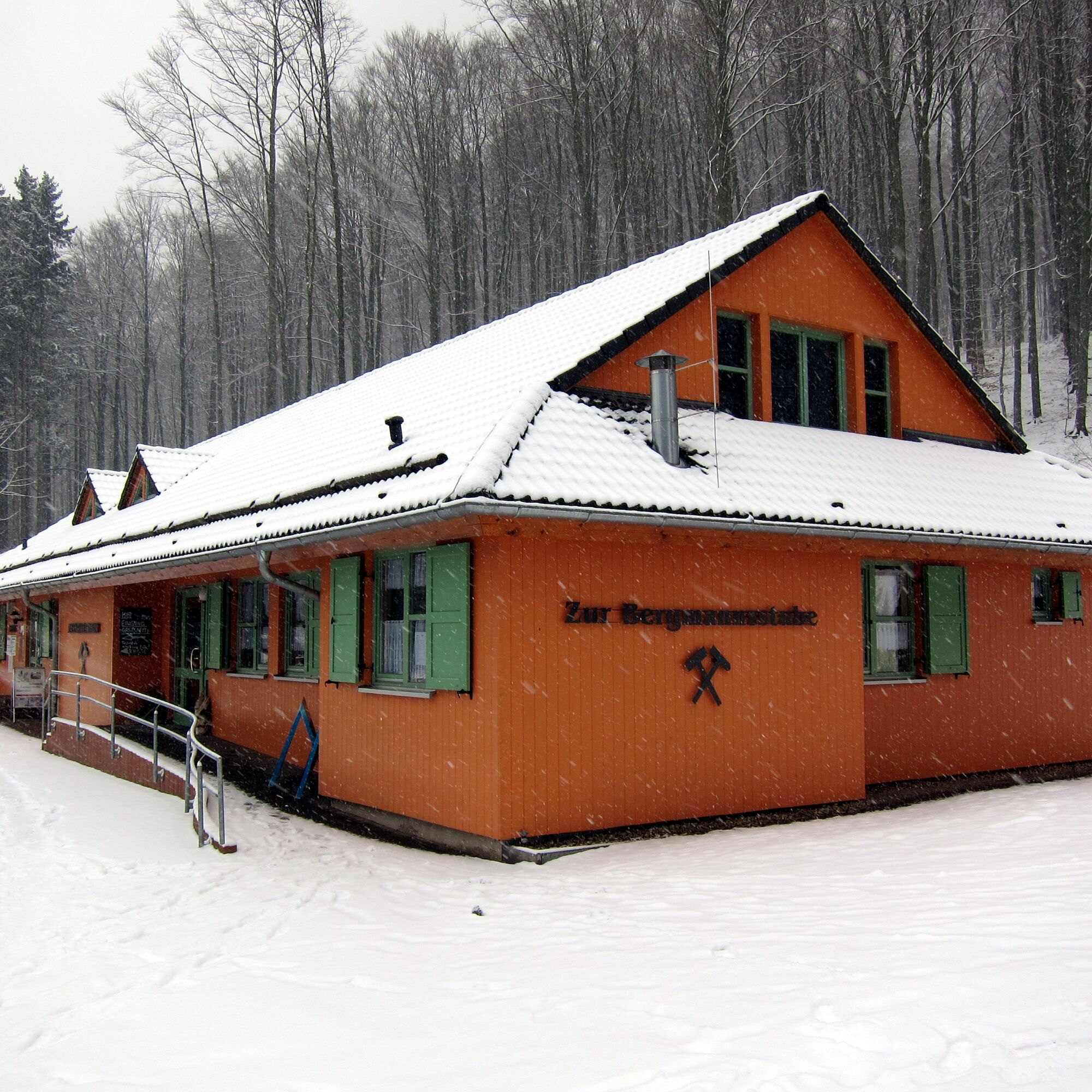
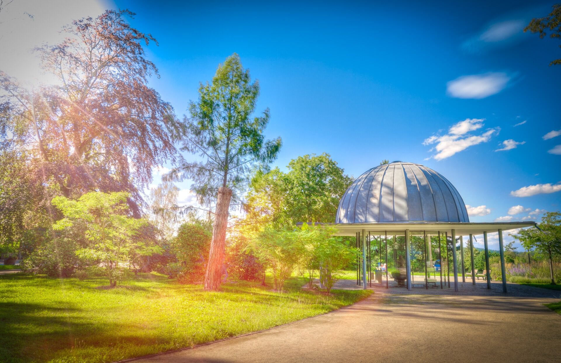


Georgenthal – Finsterbergen - Bad Tabarz – Friedrichroda – Ernstroda - Schönau vor dem Walde - Georgenthal
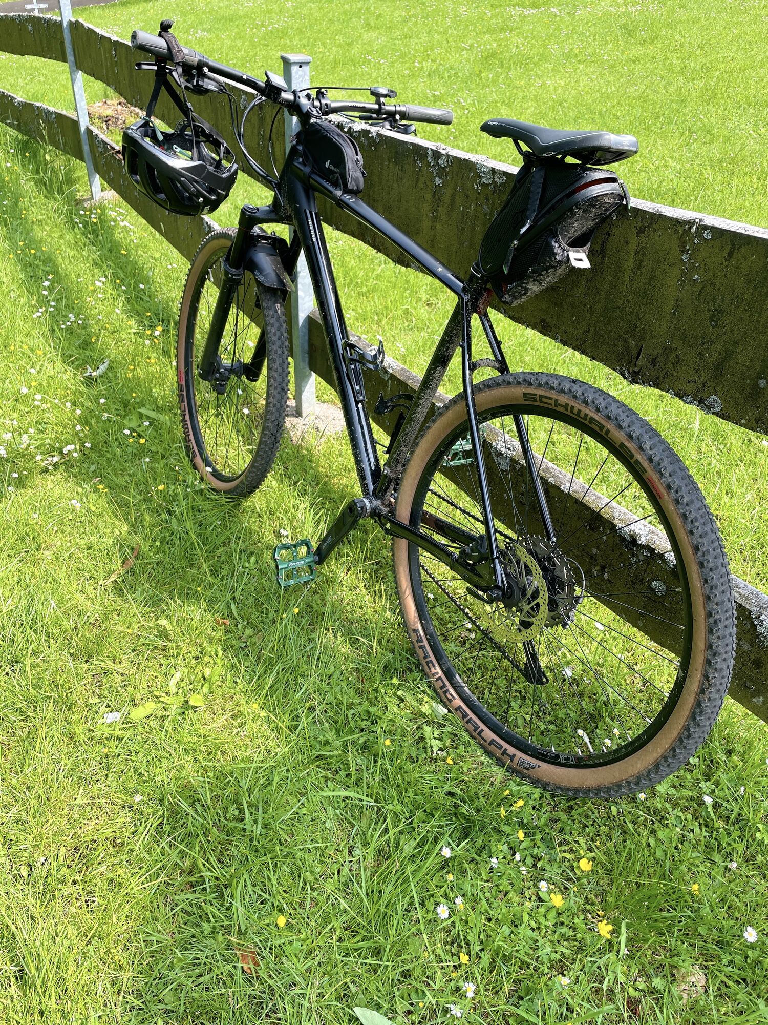
Touring bike or mountain bike.
Always pay attention to the traffic safety of your bike. The cycle path partially runs on public roads. Watch out for other road users and ride cautiously!
Especially in the hot summer months, always carry something to drink to prevent dehydration. A sunscreen with a high SPF is also recommended. Wear comfortable clothing, preferably using the layering principle.
Coming from the A4 take exit 42 (Gotha) and continue on the B247 towards Ohrdruf. Before the Ohrdruf industrial area, turn right towards Hohenkirchen / Georgenthal.
You can reach Georgenthal by bus line 852/851 from the direction of Gotha (connection to Deutsche Bahn). Use the German Rail travel portal for planning your trip → Arrival at Georgenthal
Please use the public parking areas in Tambacher Street opposite the large Mühlteich (Google NAV point)
Tourism Association Thuringian Forest/Gotha Region e. V.
Reuterstrasse 2
99867 Gotha
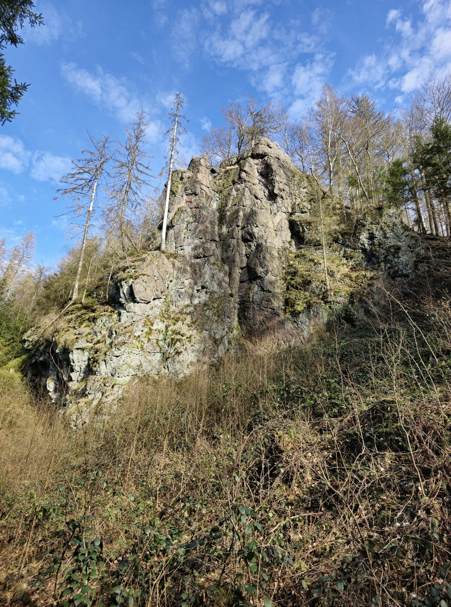
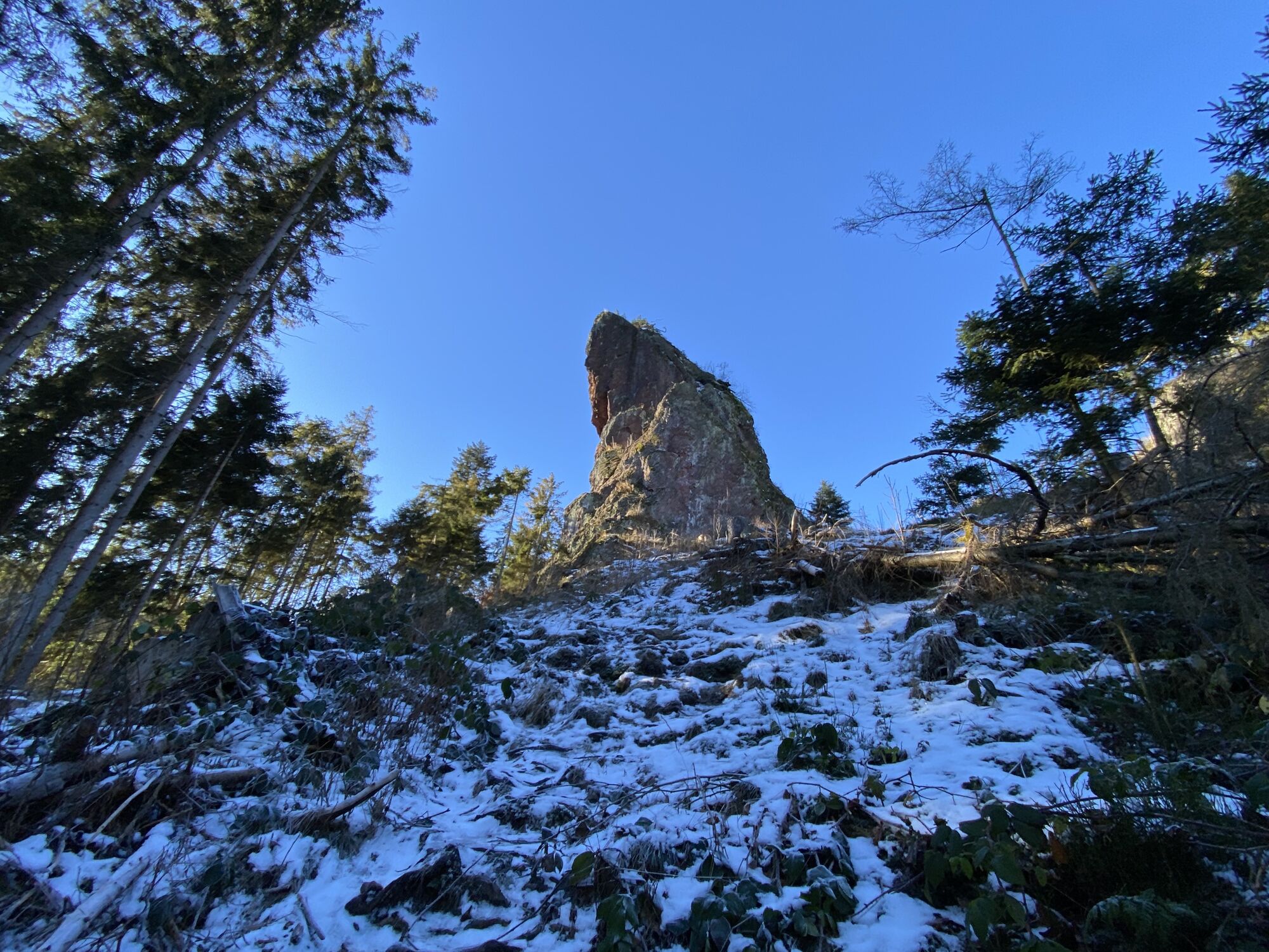
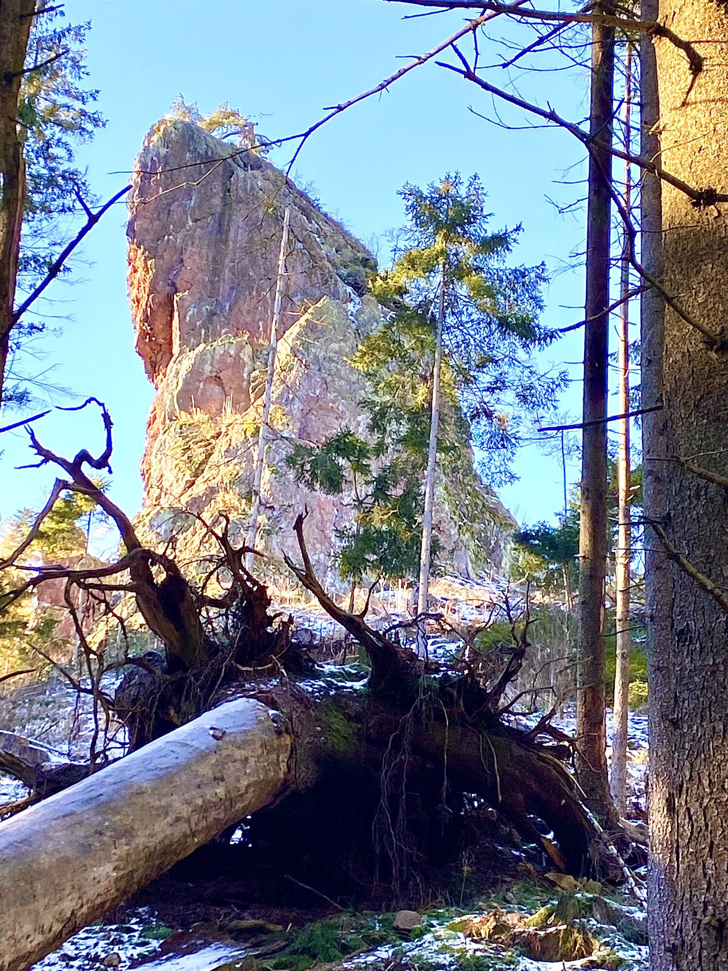
Bad Tabarz: Felsental Lauchagrund with 26 climbing rocks, fairy tale meadow
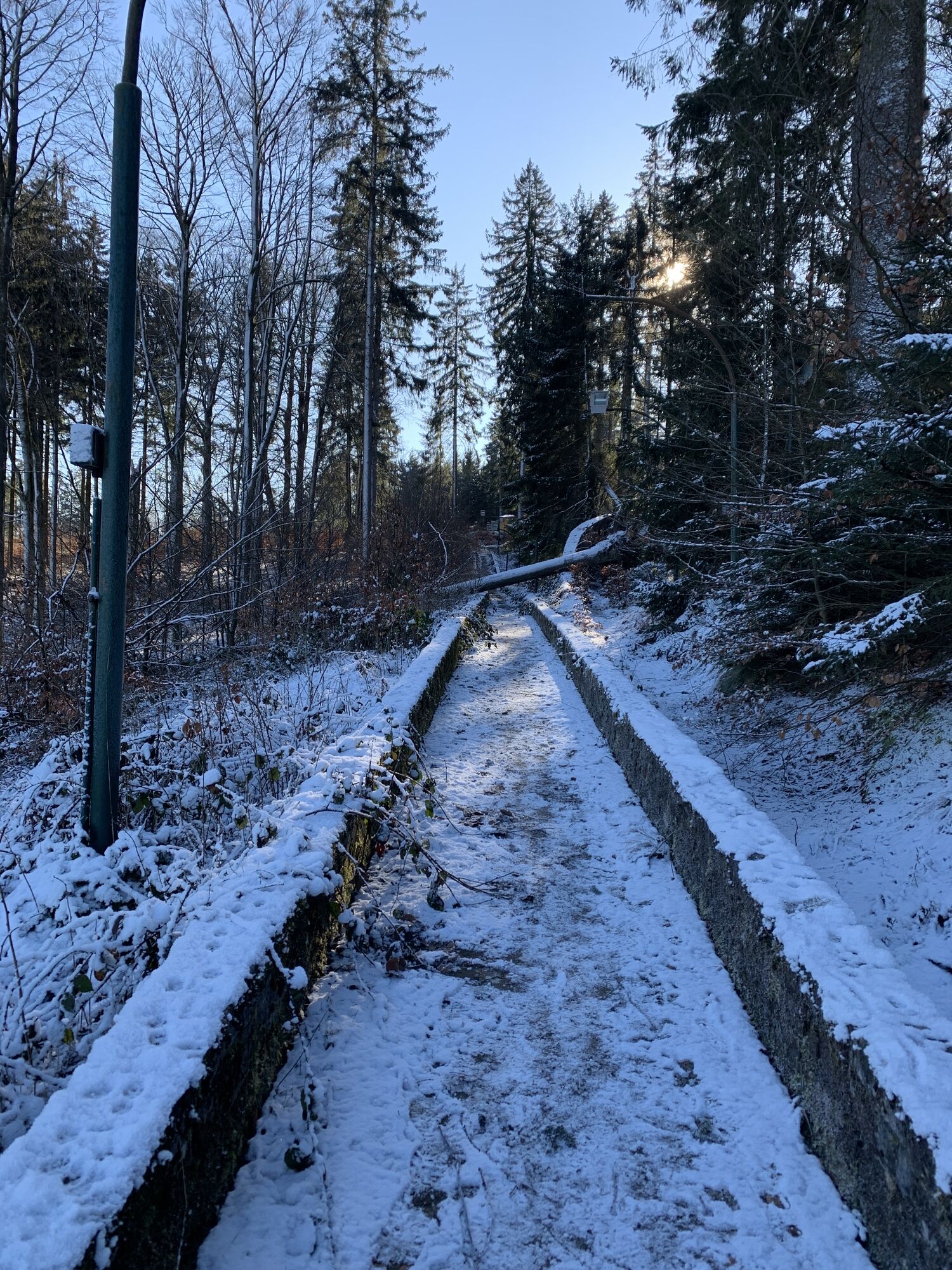
Friedrichroda: bobsleigh and luge track at the Rennsteig, Marienglas Cave with gypsum crystal grotto and geopark information center
Georgenthal: Hammerteich, former monastery complex with park
Webové kamery z prohlídky

Oblíbené prohlídky v okolí
- 4.6
Summit and panoramic route - Route 1 - Bad Tabarz
středníTuristika 10.9 km - 4.4
Circular hike "Old Tambach Dam", Tambach-D., Thuringian Forest
středníTuristika 8.33 km - 3.8
Wanderung zum Spitterfall
středníTuristika 14.6 km Tabarzer Vulkansteig
středníTuristika 9.91 km- 4.5
Circular hike - Legendary Hörselberge - Great Hörselberg near Eisenach - Thuringian Forest
středníTuristika 10.6 km - 4.4
Circular hiking trail - "Trusetal Landmark Route" - Thuringian Forest
světloTuristika 4.02 km - 4.8
Inselsberg tour - Tour 2 - Bad Tabarz
heavyTuristika 15.1 km - 3.7
Backofenloch circular route - route 6 - Bad Tabarz
středníTuristika 7.04 km - 3.2
Von Friedrichroda zum großen Inselsberg
středníTuristika 22.4 km - 4.0
Circular route - Spießberghaus - Friedrichroda - Thuringian Forest
středníTuristika 10.7 km
Pěší turistika a stopování


Nenechte si ujít nabídky a inspiraci pro vaši příští dovolenou
Vaše e-mailová adresa byl přidán do poštovního seznamu.





