







Nordic Walking route blue - Ilmenau
Úroveň obtížnosti: 2
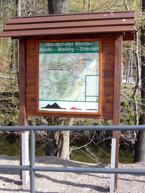
The starting and ending point for the Nordic Walking routes is the hiking car park at the Festhalle Ilmenau. Here you can use the free parking lot. On site, information boards with hiking maps and 3 Nordic...
The starting and ending point for the Nordic Walking routes is the hiking car park at the Festhalle Ilmenau. Here you can use the free parking lot. On site, information boards with hiking maps and 3 Nordic Walking routes inform about the respective course of the hiking trails.
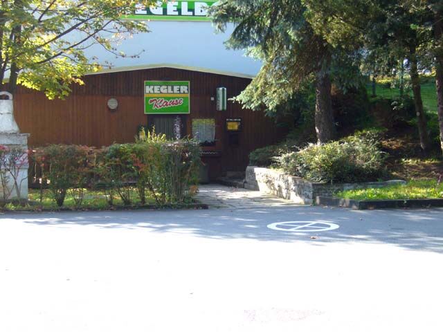
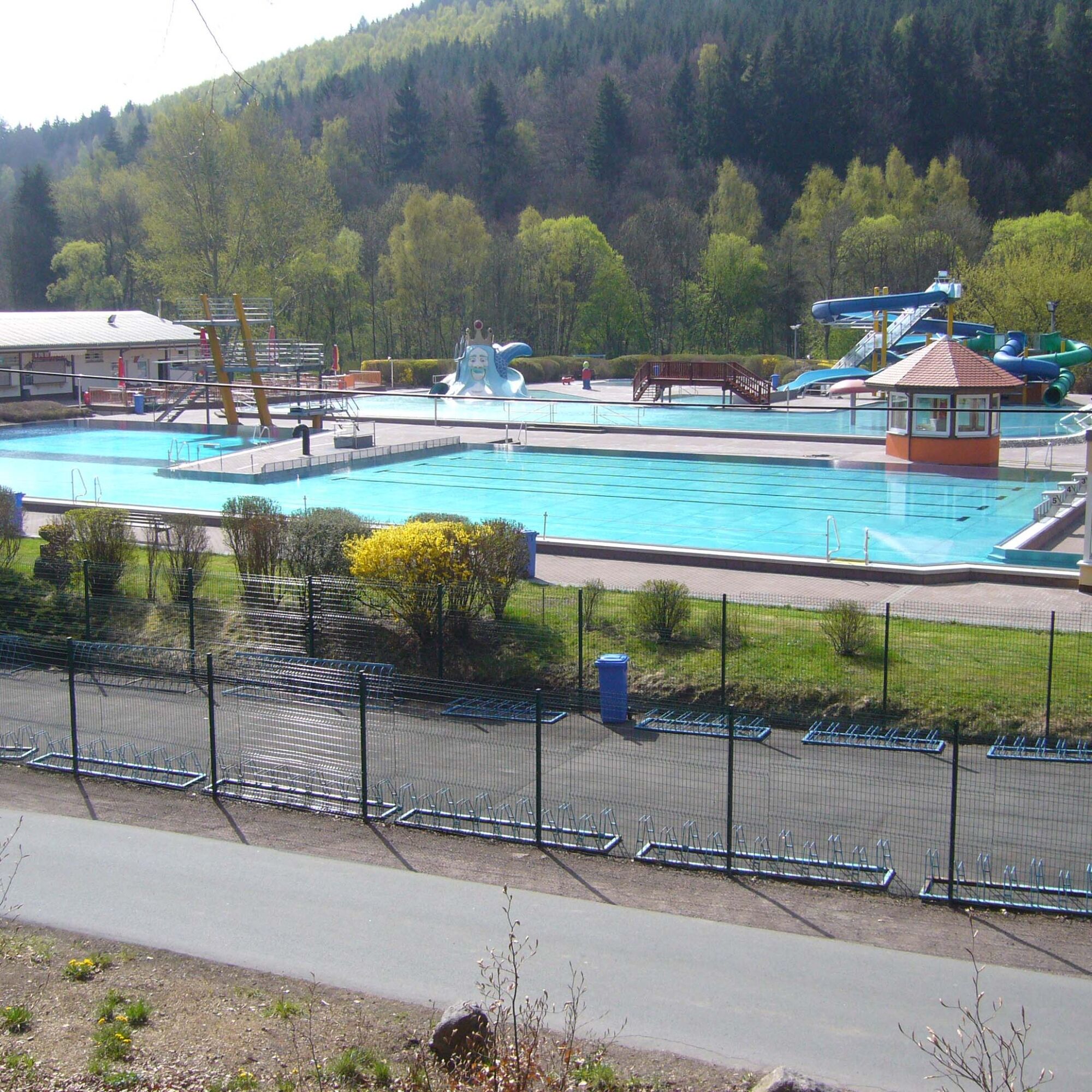
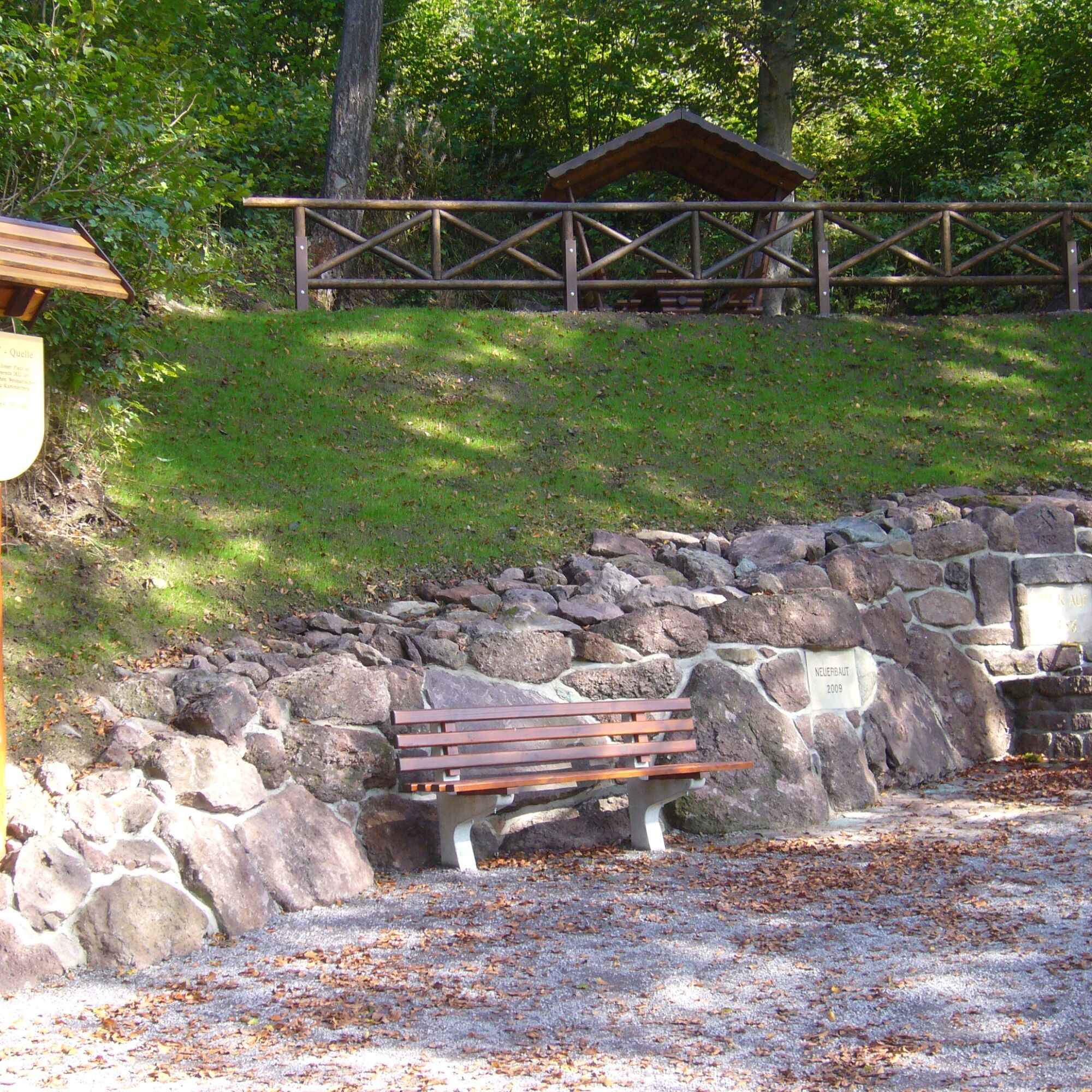
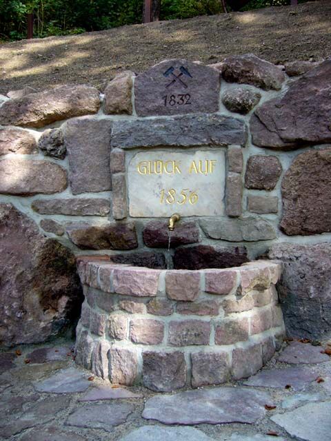
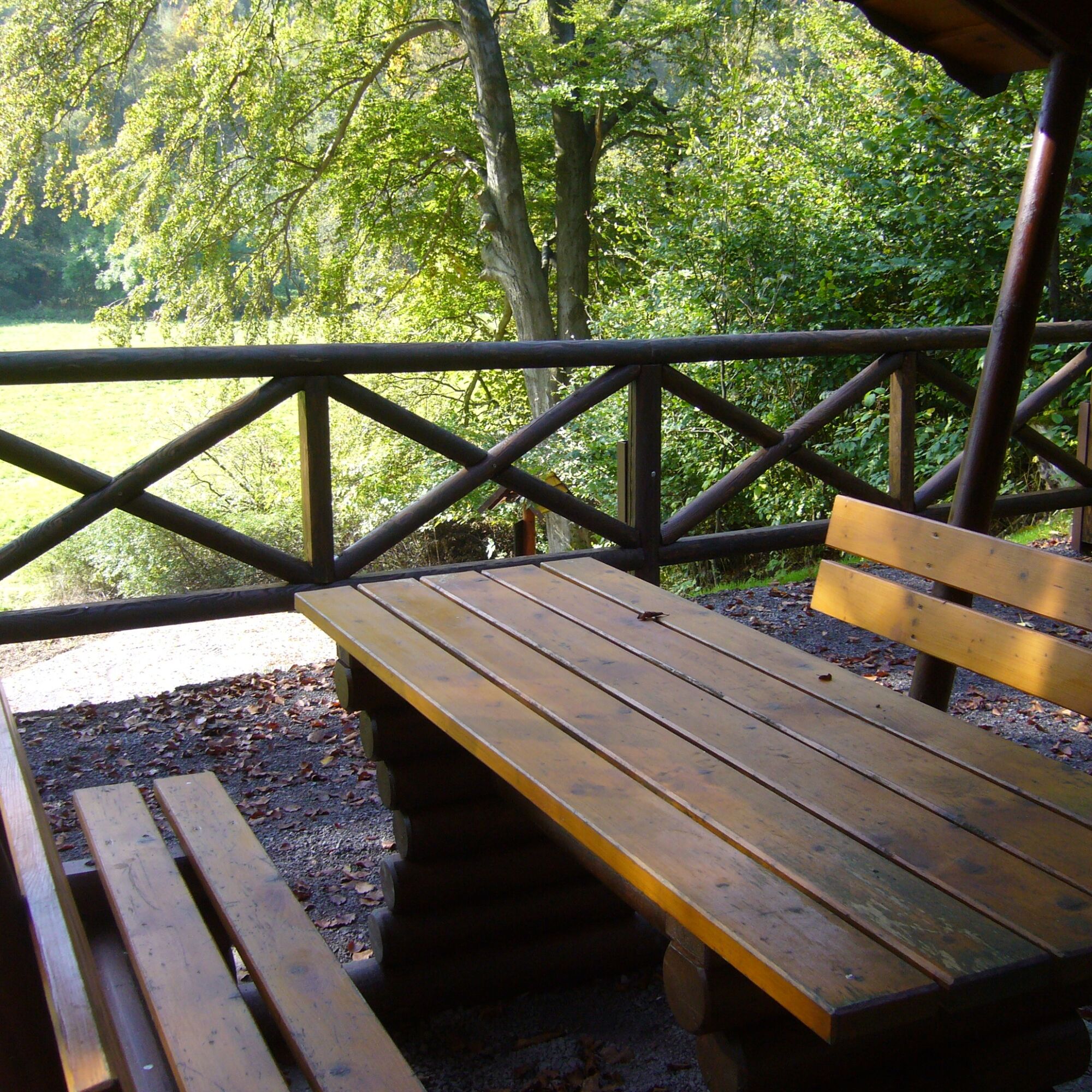
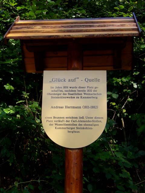
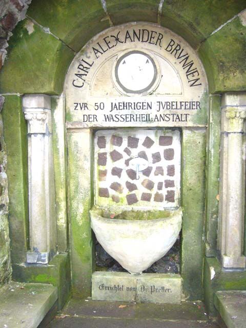
The blue route leads from the Festhalle on Schwendlers Weg, past the Emilienquelle spring, the sports field, and the bowling alley to the swimming pool. From there, via the Hammergrund access road, we reach the rest area "Glück Auf" spring with a beautiful view of the Ilm valley. Continuing towards Manebach via the Beckersgrund, the route goes on the Ilmtal cycle path (Döllstädtweg, north slope) to the Carl Alexander Fountain. Here the Hammergrund cross connection can be used. Via the Preller Linden (bench) and the city park, we reach the starting point of the route.

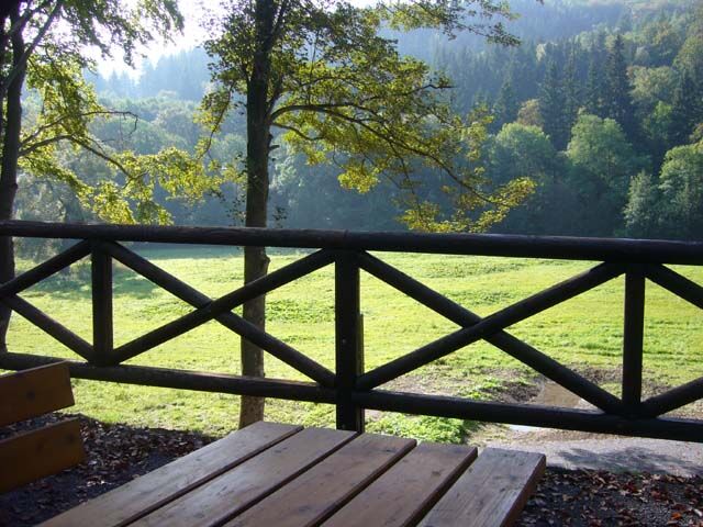
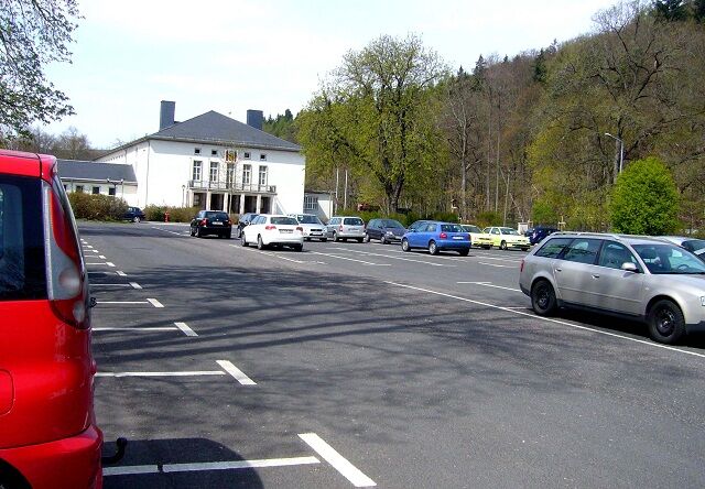
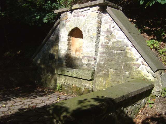

Festhalle Ilmenau WPP - Emilienquelle - Swimming Pool/Bowling Alley - Rest Area "Glück Auf" Spring - Manebach - Beckersgrund/Stream - Ilmtal Cycle Path - Steinbach - Carl Alexander Fountain - L3004 Cross Connection - Preller Linden (Tree) - City Park - Festhalle Ilmenau WPP
Ano
Sturdy footwear
Rainwear
First aid kit
GPS device or smartphone
Drink
Telescopic poles
Manebach village entrance, caution railway crossing!
Coming from the A71, exit 16 (Ilmenau-West) and continue on the L3004 towards Ilmenau.
You can reach Ilmenau by trains of Deutsche Bahn and Erfurter Bahn. On weekends and public holidays, the RennsteigShuttle also runs from there via Manebach - Stützerbach to Rennsteig station.
For detailed travel information, please use the German Rail travel portal.
Hiking car park at the Festhalle Ilmenau ( Google NAV Point )
2
Rest Area " Glück Auf " Spring
Carl - Alexander - Fountain
Information boards about the route are available at the start and end points of the routes.
Webové kamery z prohlídky
Získejte přehled
Vždy živě na místě s více než 9 500 webkamerami. bergfex Jako uživatel Pro si nyní můžete zobrazit odpovídající webové kamery pro mnoho prohlídek v aplikaci prohlídky z. Můžete si tak přímo prohlédnout aktuální podmínky.
Oblíbené prohlídky v okolí
-
3.0
Circular hike - "4 ponds hike" Neustadt am Rennsteig - Thuringian Forest
heavyTuristika 12.6 km -
4.6
Hike over the Rennsteig & the Schneekopf to the Schmücke
heavyTuristika 21.0 km -
3.8
Rundweg Talsperre
středníJízda na kole 14.5 km -
The Rennsteig - long-distance hiking trail from Hörschel to Blankenstein - Thuringian Forest
heavydálková pěší trasa 169.0 km -
4.0
Zu den Schanzen im Kanzlersgrund
středníTuristika 9.58 km -
4.7
Circular hike to Lütschetalsperre
středníTuristika 13.0 km -
5.0
Rundtour Staudamm
světloTuristika 3.91 km -
Circular hiking route - Ruppberg - Thuringian Forest
středníTuristika 11.4 km -
4.2
Circular hiking route - "Zunft & Kloß" - Zella-Mehlis - Thuringian Forest
heavyTematická stezka 6.83 km -
4.0
TOP 5 - circular hiking route - "Forsthaus Sattelbach" - Oberhof
světloTuristika 3.67 km
Pěší turistika a stopování


Nenechte si ujít nabídky a inspiraci pro vaši příští dovolenou
Vaše e-mailová adresa byl přidán do poštovního seznamu.





