


Dammbachsgrund Route
Úroveň obtížnosti: 1
The area of the Bad Berka Vital Parcours extends over the entire hiking area around the spa town. For all those who want to improve their fitness gently but highly effectively, Nordic Walking is the right...
The area of the Bad Berka Vital Parcours extends over the entire hiking area around the spa town. For all those who want to improve their fitness gently but highly effectively, Nordic Walking is the right sport. It leads to significant muscle building and weight loss, prevents diseases such as high blood pressure, heart attack, and diabetes. It is easy to learn for beginners of all ages and for those untrained.

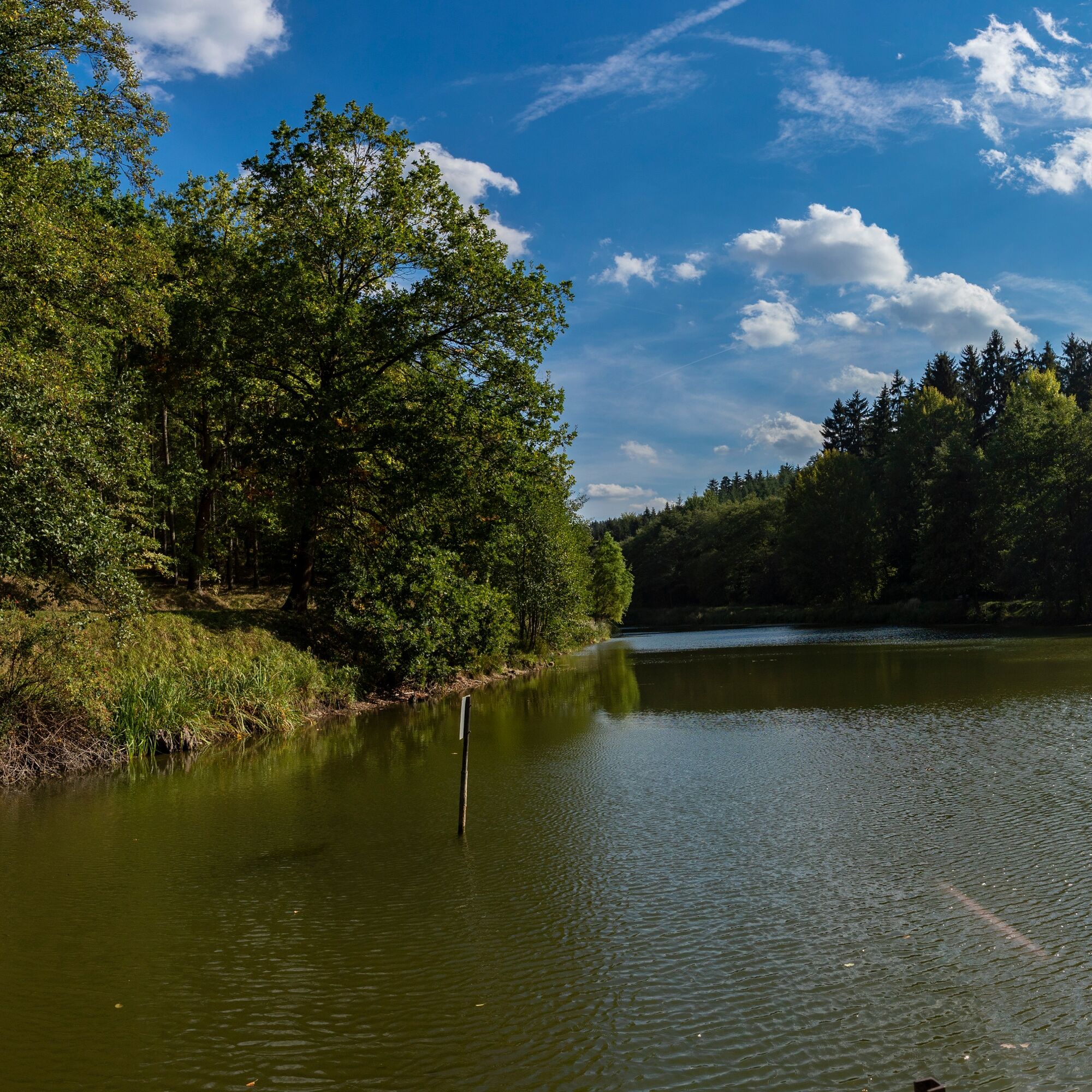
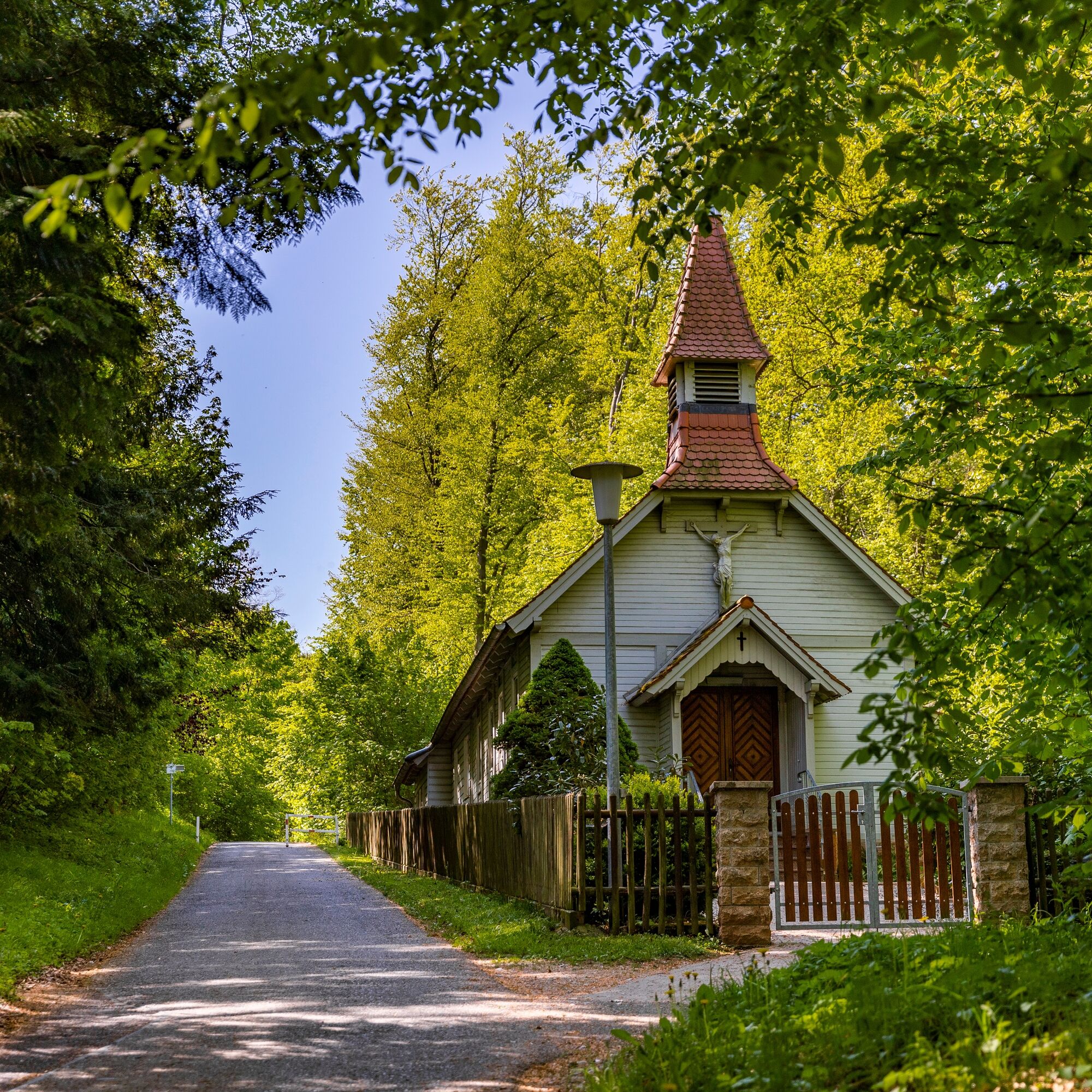
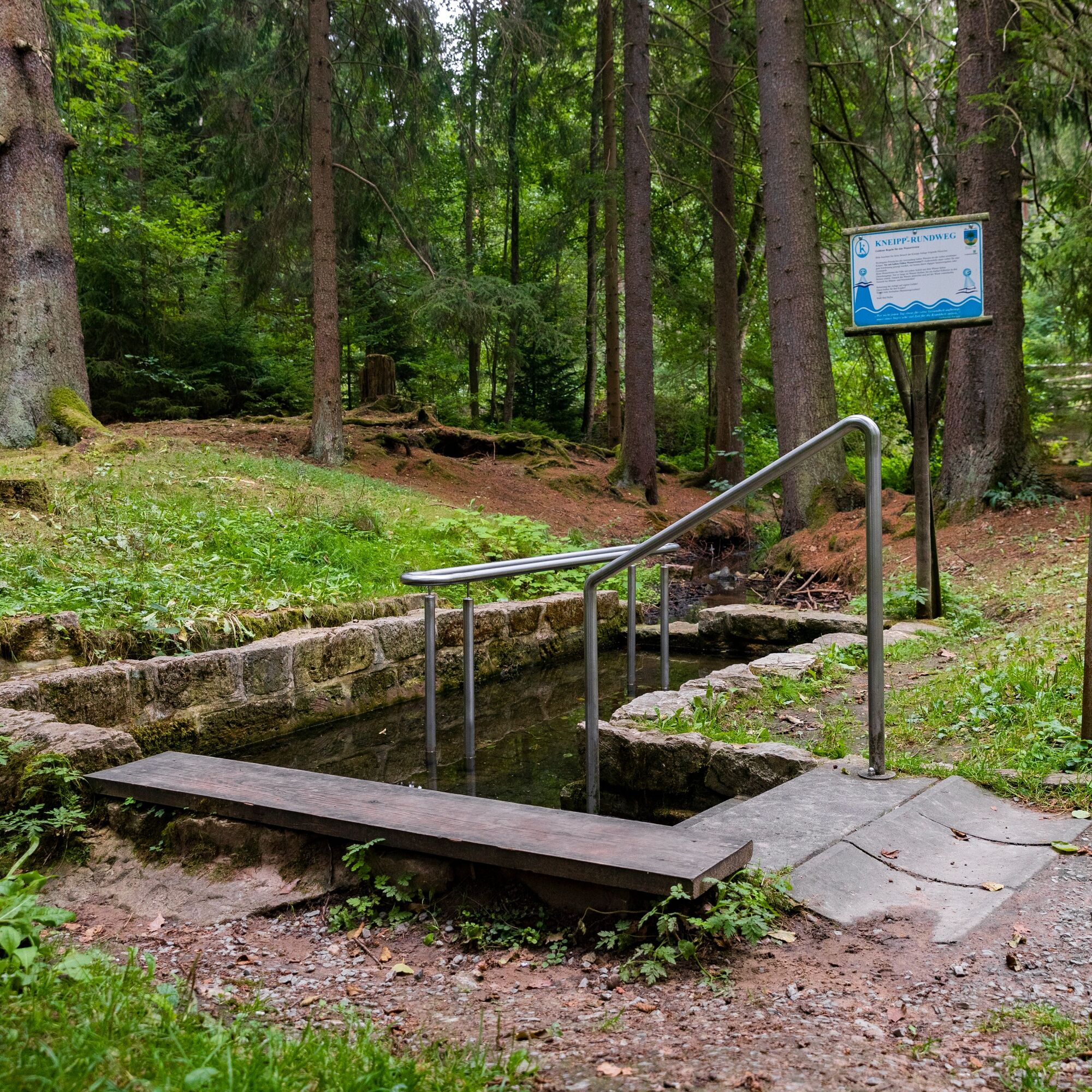
The start is at the Tourist Information Bad Berka. From there via Ilmstraße and Parkstraße to Blankenhainer Straße. Cross Blankenhainer Straße at the pedestrian crossing and the path leads onto Trebestraße. After 1.2 km, it goes right behind the parish hall of the Catholic Church into the forest, and the path leads along a trail almost to the Bad Berka sports ground. Once the trail meets an asphalt path, turn left onto this asphalt path and follow it to the entrance of Dreiteichsgrund. Here you will find a barbecue hut and a rest area. Since the Ilm Valley cycle path also runs along this route, you will meet many cyclists. At Dreiteichsgrund, turn left into the valley, walk along the three ponds, and reach Carl-Alexander-Platz at km 3. Here is the Kneipp facility Dammbachsgrund with benches as well as the Carl-Friedrich spring. The asphalt path continues northwards into Dammbachsgrund. At the end of the asphalt path, turn left and go uphill on the gravel path. We pass the Heustiel Hut and then reach the Trebe residential area. We follow Trebestraße uphill to the pedestrian crossing at Blankenhainer Straße. Cross this and return to the starting point.
From the direction of Weimar or Rudolstadt (B 85), turn right or left at the Ilmenau junction into the city center and follow the signs to the parking lot.
From Ilmenau, at the junction to Weimar/Rudolstadt, drive straight into the city center and follow the signs to the parking lot.
Arrival by bus and train possible. Starting point is accessible on foot.
City center parking lot (well signposted on local signposts); free parking as well as caravan parking space; from there about 400 m walk to the Tourist Information.
1
Oblíbené prohlídky v okolí
-
4.5
Kneipp circular route Bad Berka
středníTematická stezka 8.96 km -
5.0
Thuringian Three Towers Trail
středníTuristika 25.3 km -
Hexenberg circular route
světloTuristika 6.79 km -
Ludwig Häfner Trail
středníTuristika 10.4 km -
4.0
Ludwig-Geist-Path
světloTuristika 5.13 km -
Circular hike - "Blossom Magic" Großkochberg Saale-Ilmplatte - Großkochberg
středníTuristika 6.30 km -
Megamarsch Erfurt 2022
heavyTuristika 50.6 km -
Adventure Trail Schlossberg
světloTematická stezka 2.50 km -
Kohlgrund Route
středníNordic Walking 15.9 km -
Professor Tegtmeier Path
světloTuristika 4.90 km

Pěší turistika a stopování


Nenechte si ujít nabídky a inspiraci pro vaši příští dovolenou
Vaše e-mailová adresa byl přidán do poštovního seznamu.