


Route of beautiful views // Schneekopf central Thuringian Forest
Úroveň obtížnosti: S1

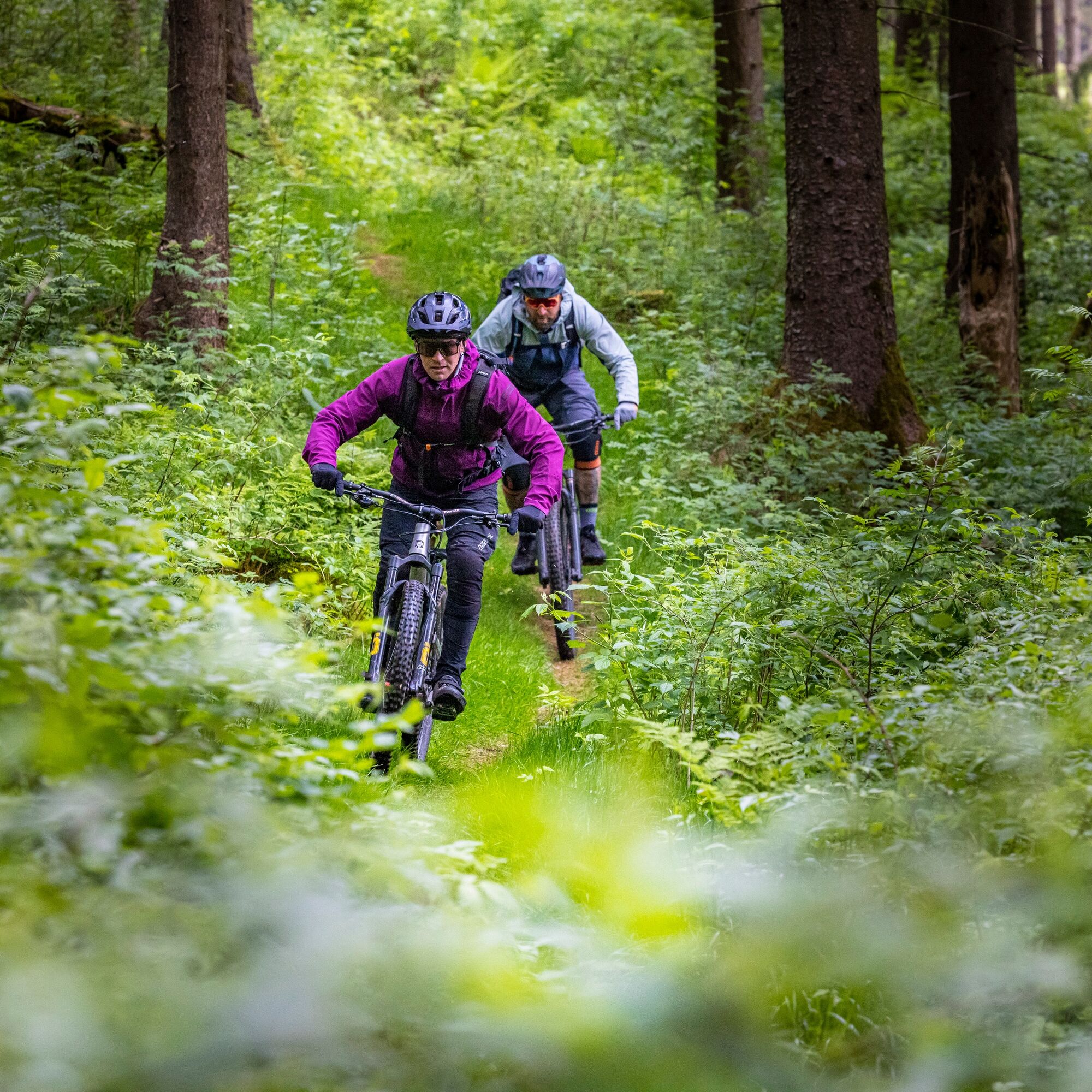
On this route, you travel at the highest heights of the Thuringian Forest and pass many well-known viewpoints along the Rennsteig. The start is near the Schneekopf, which offers an incredible panoramic...
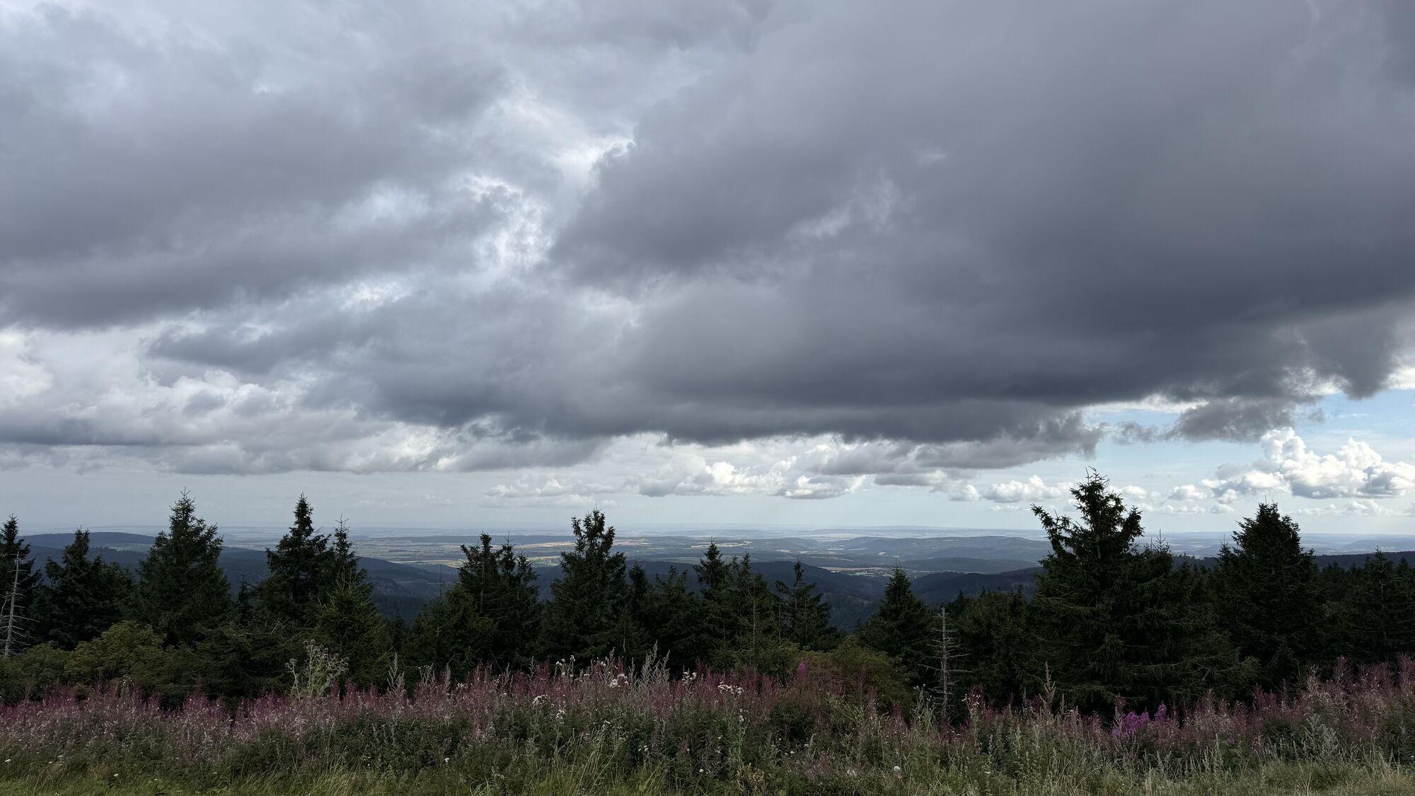
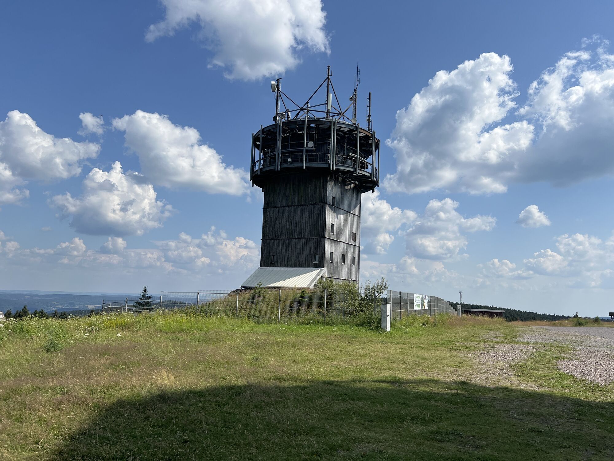
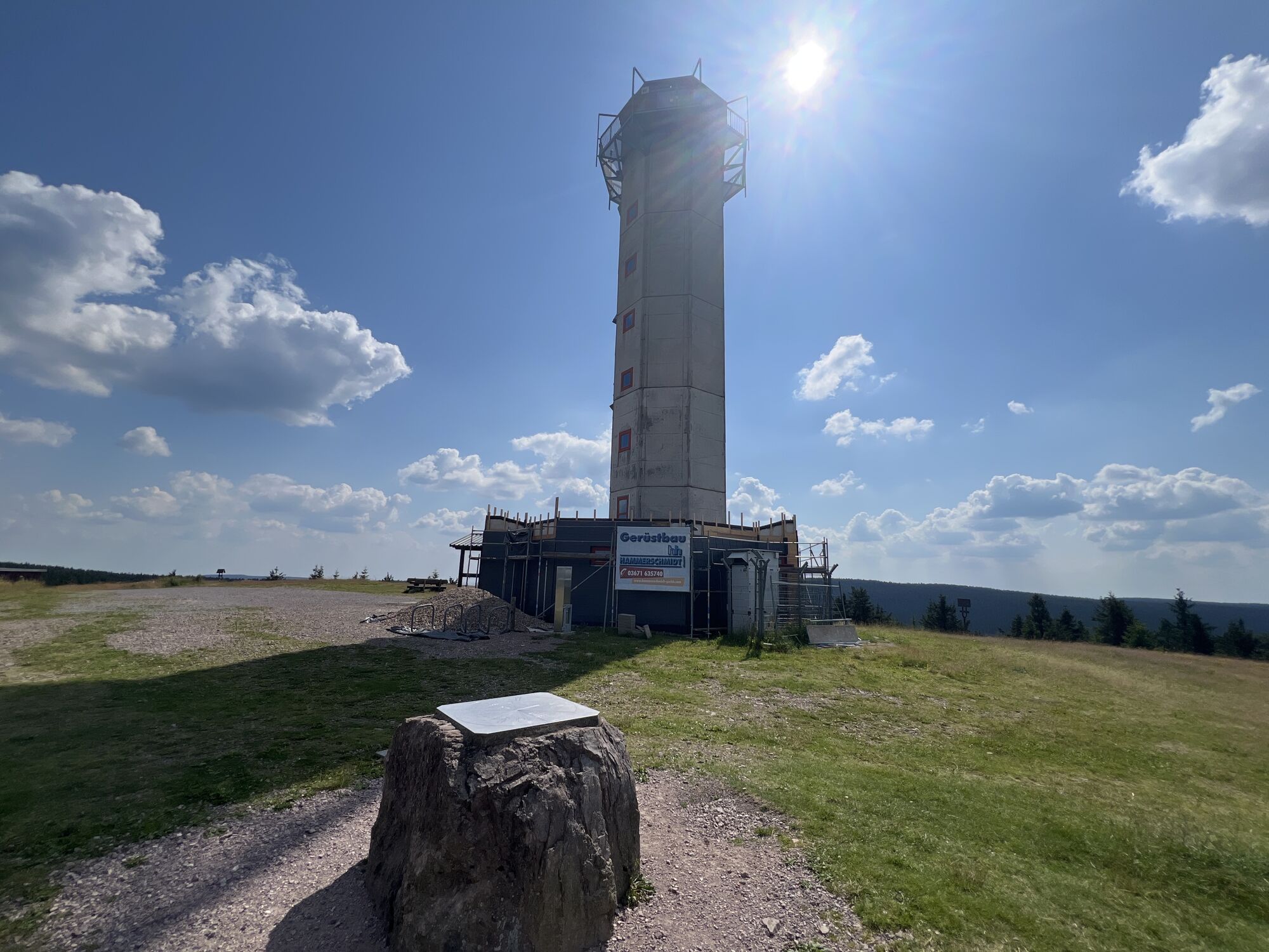
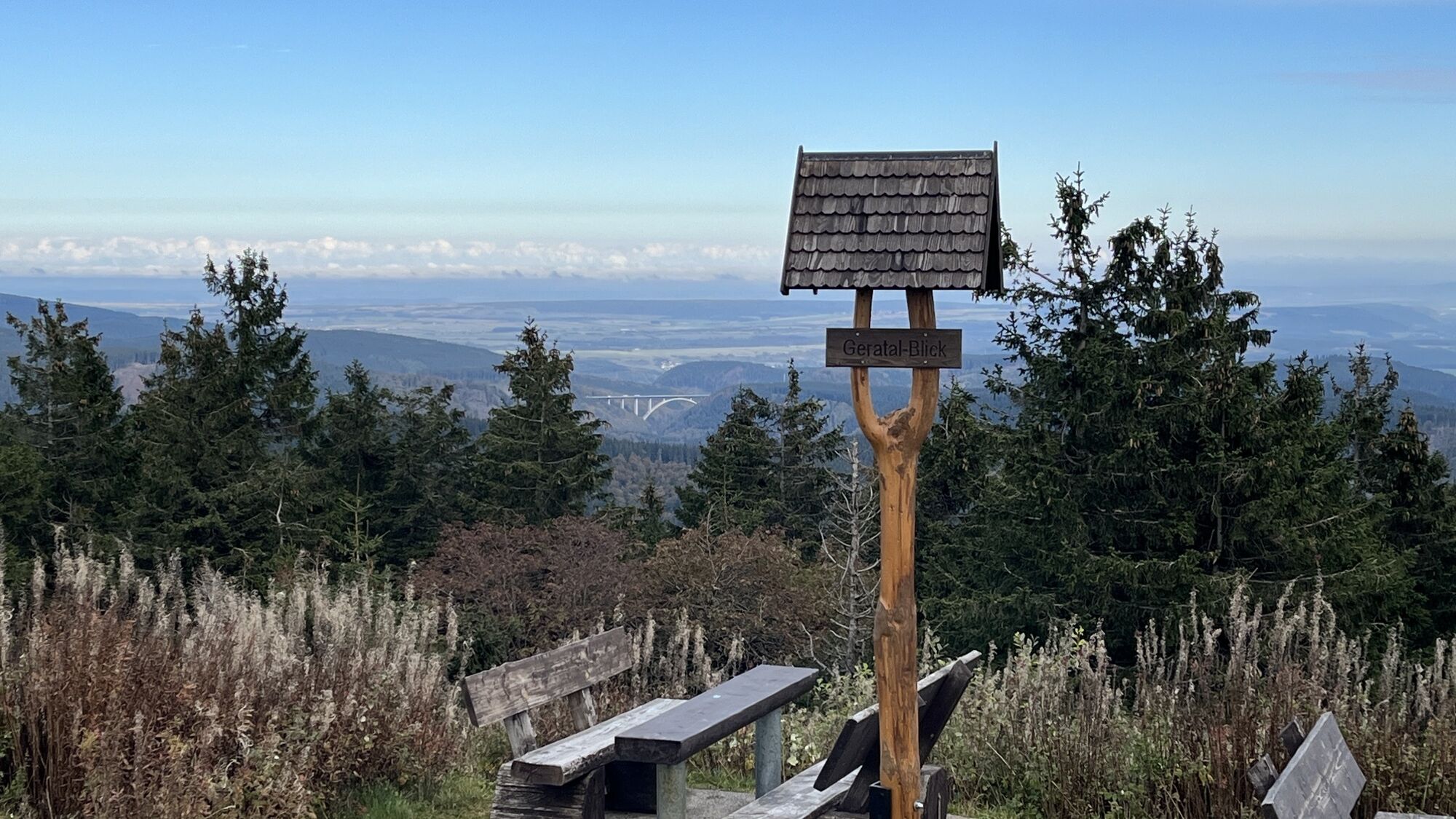
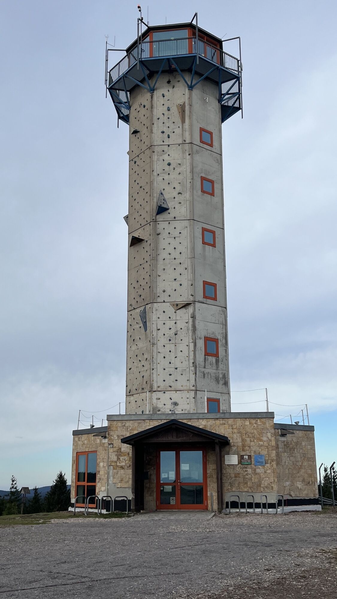
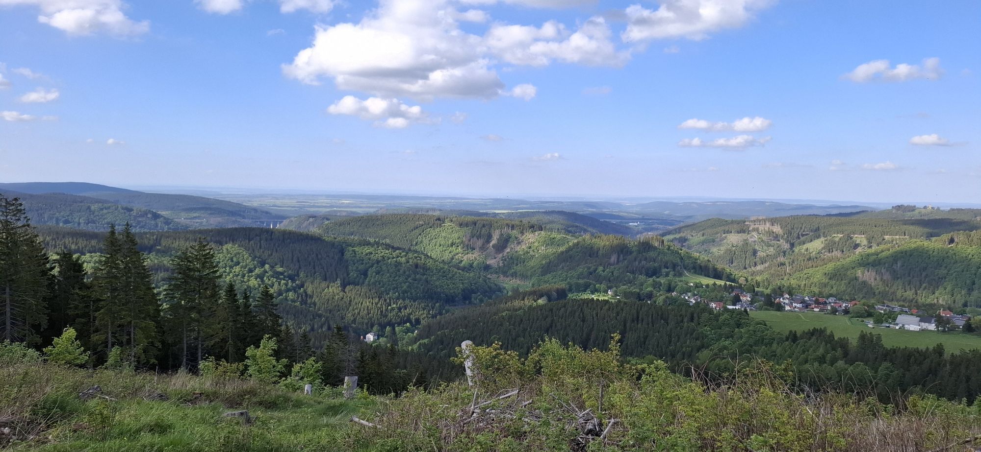
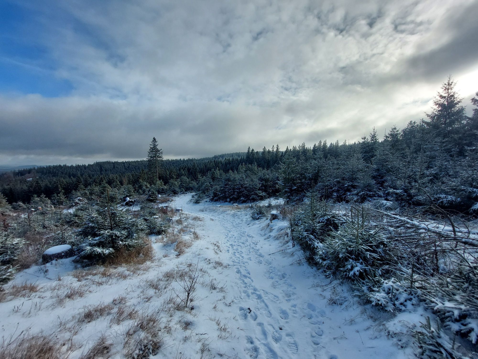
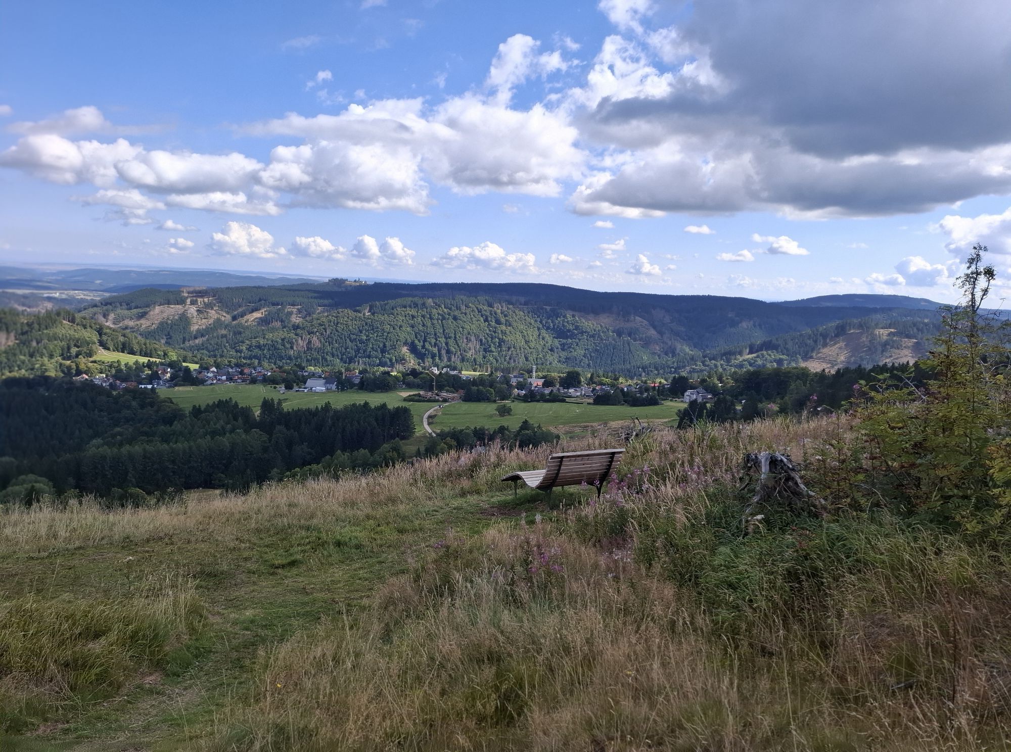
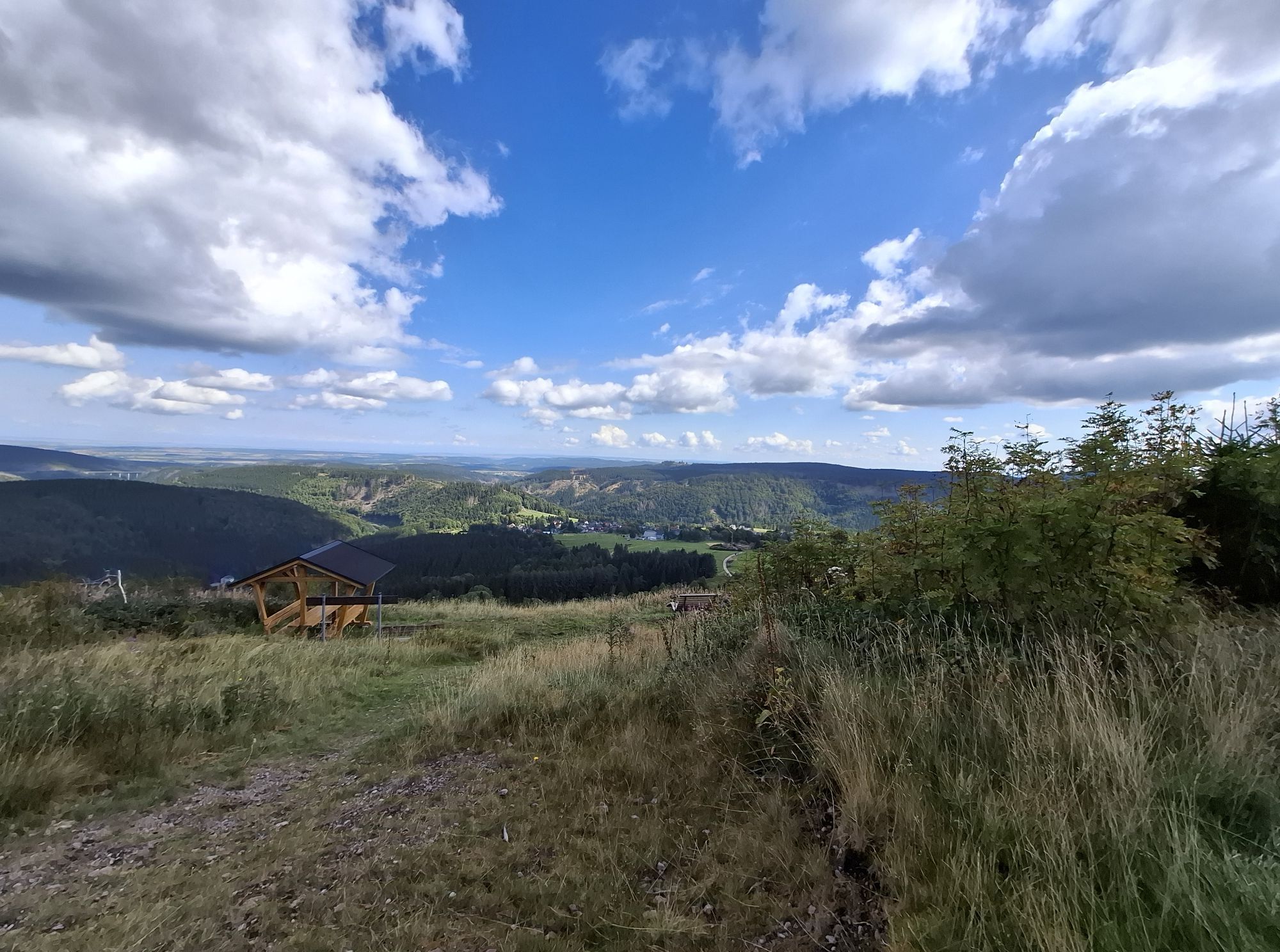
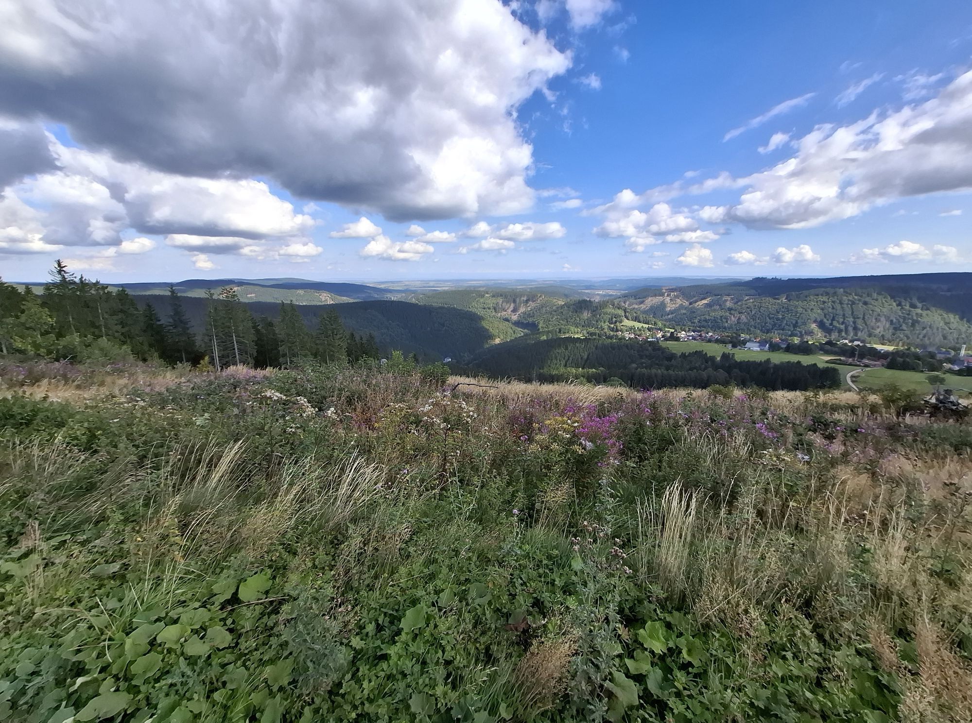
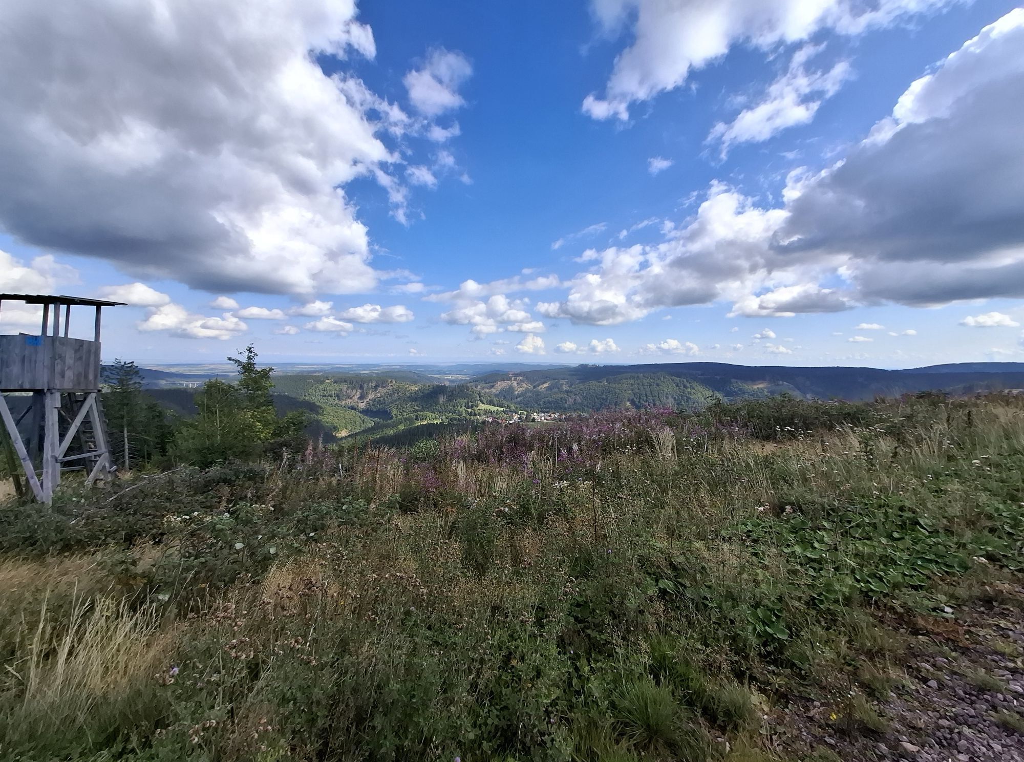
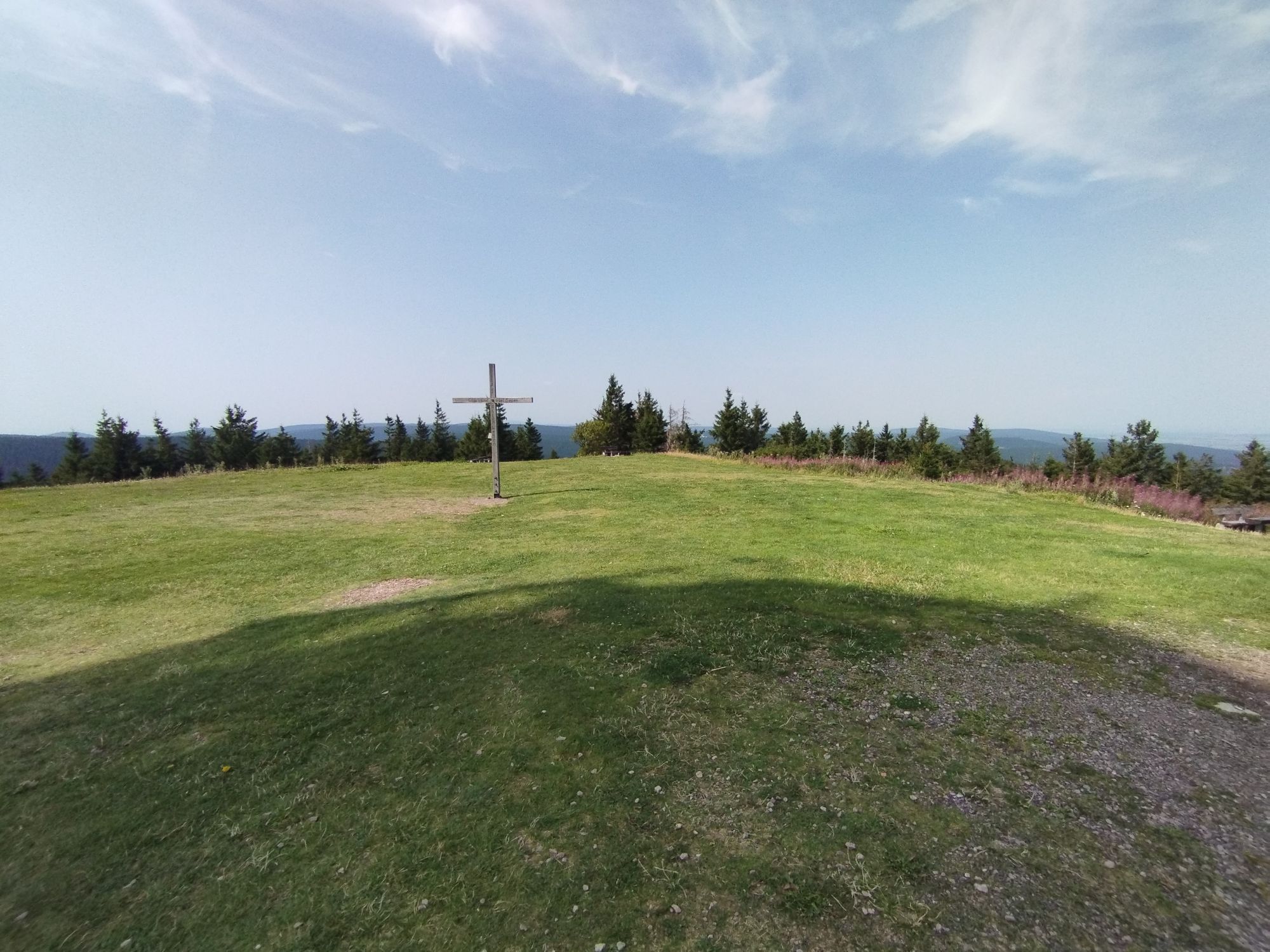
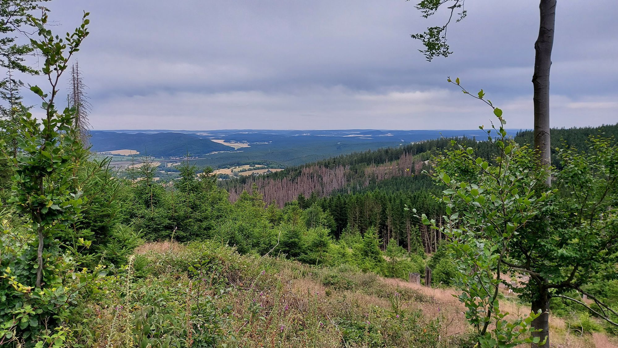
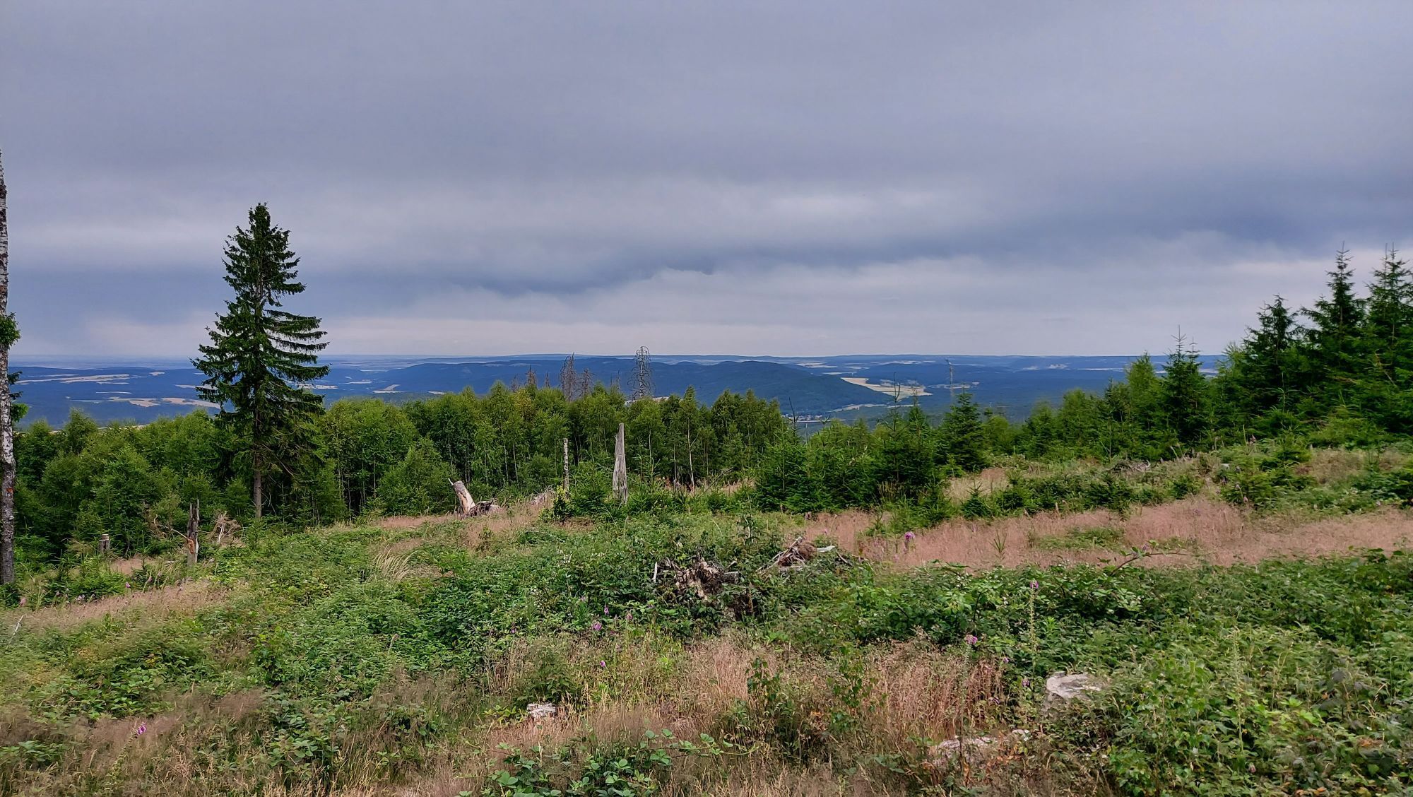
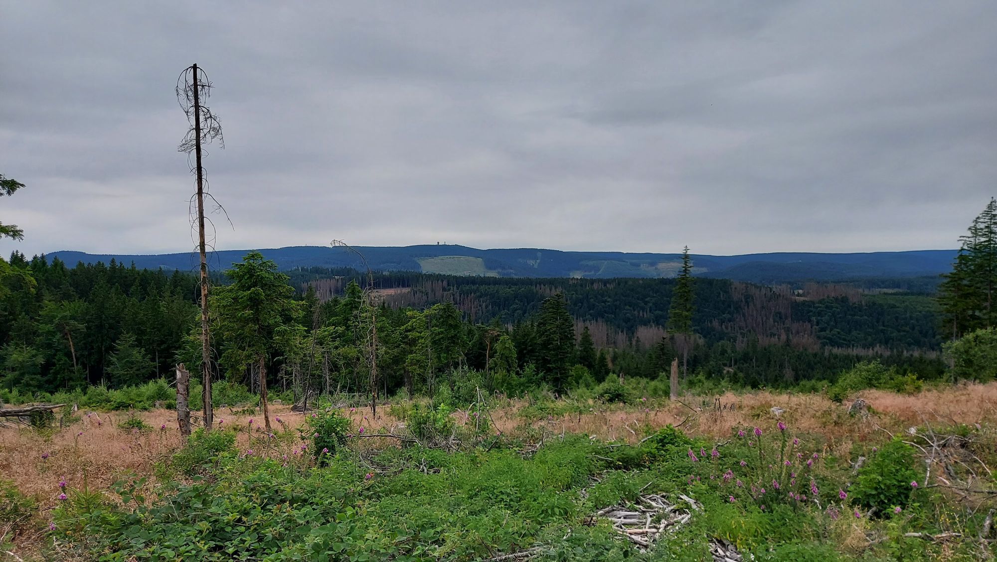
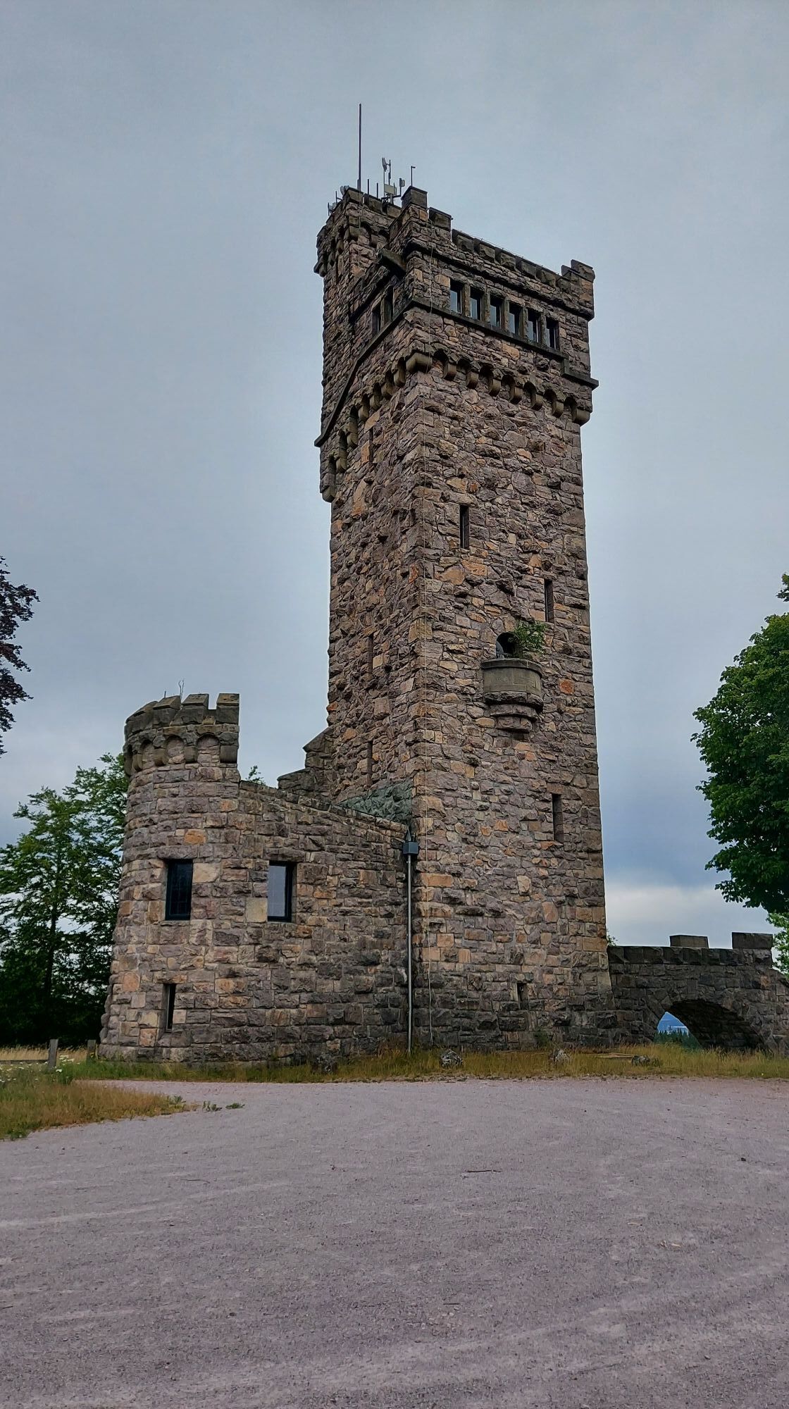
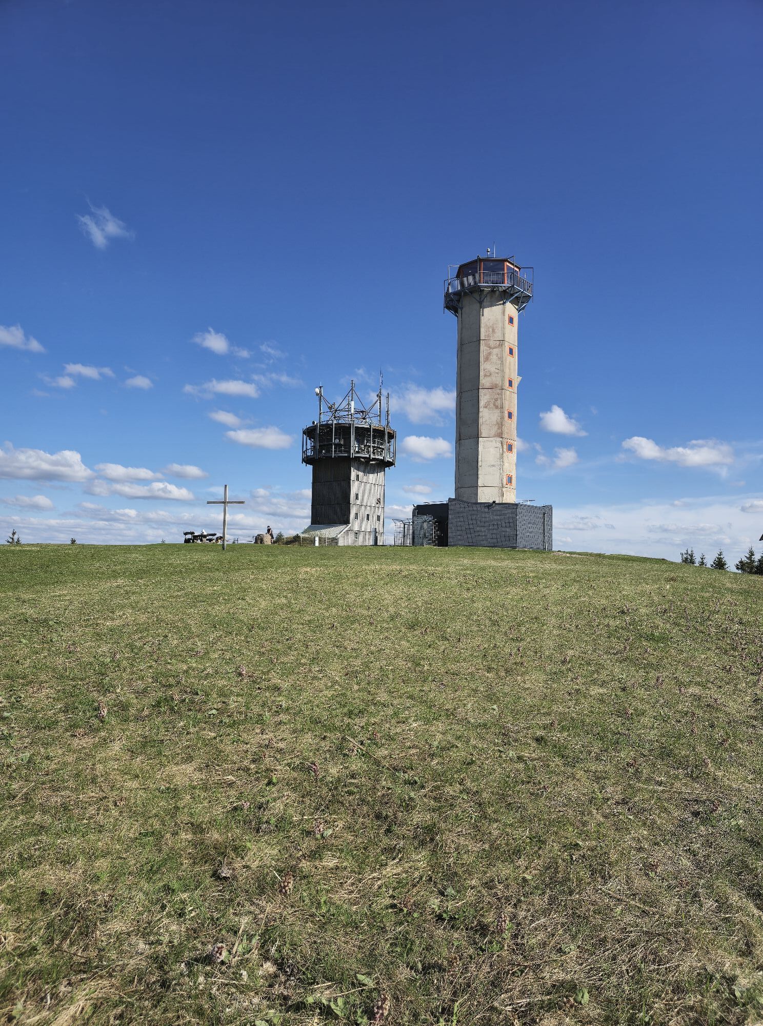
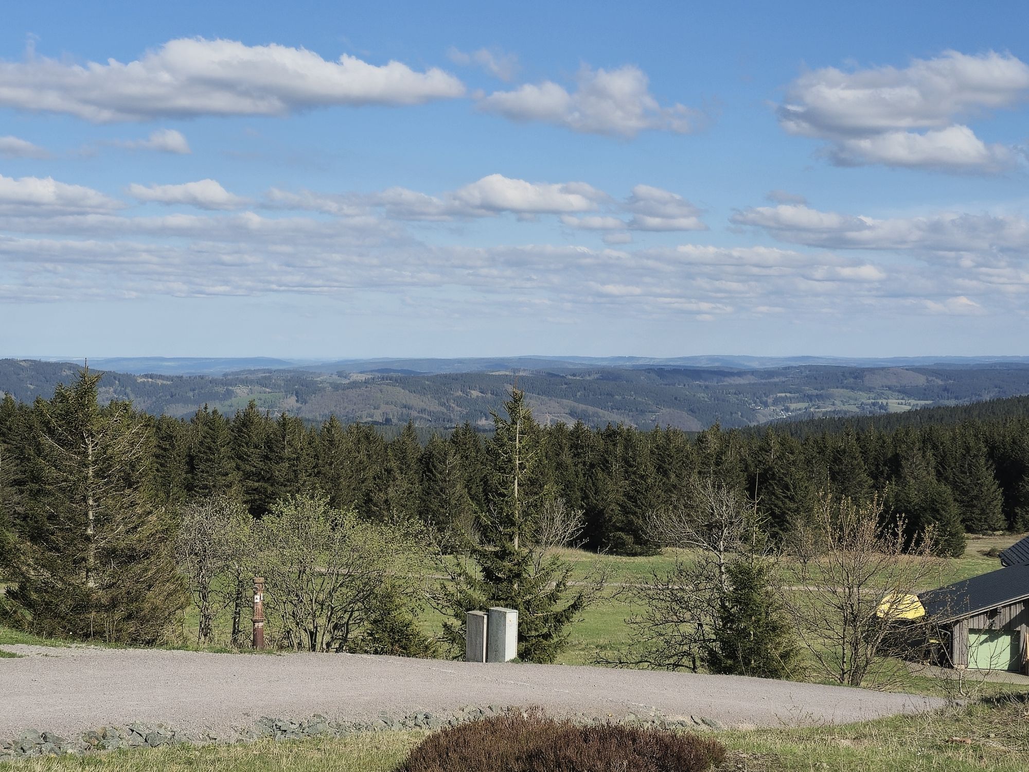
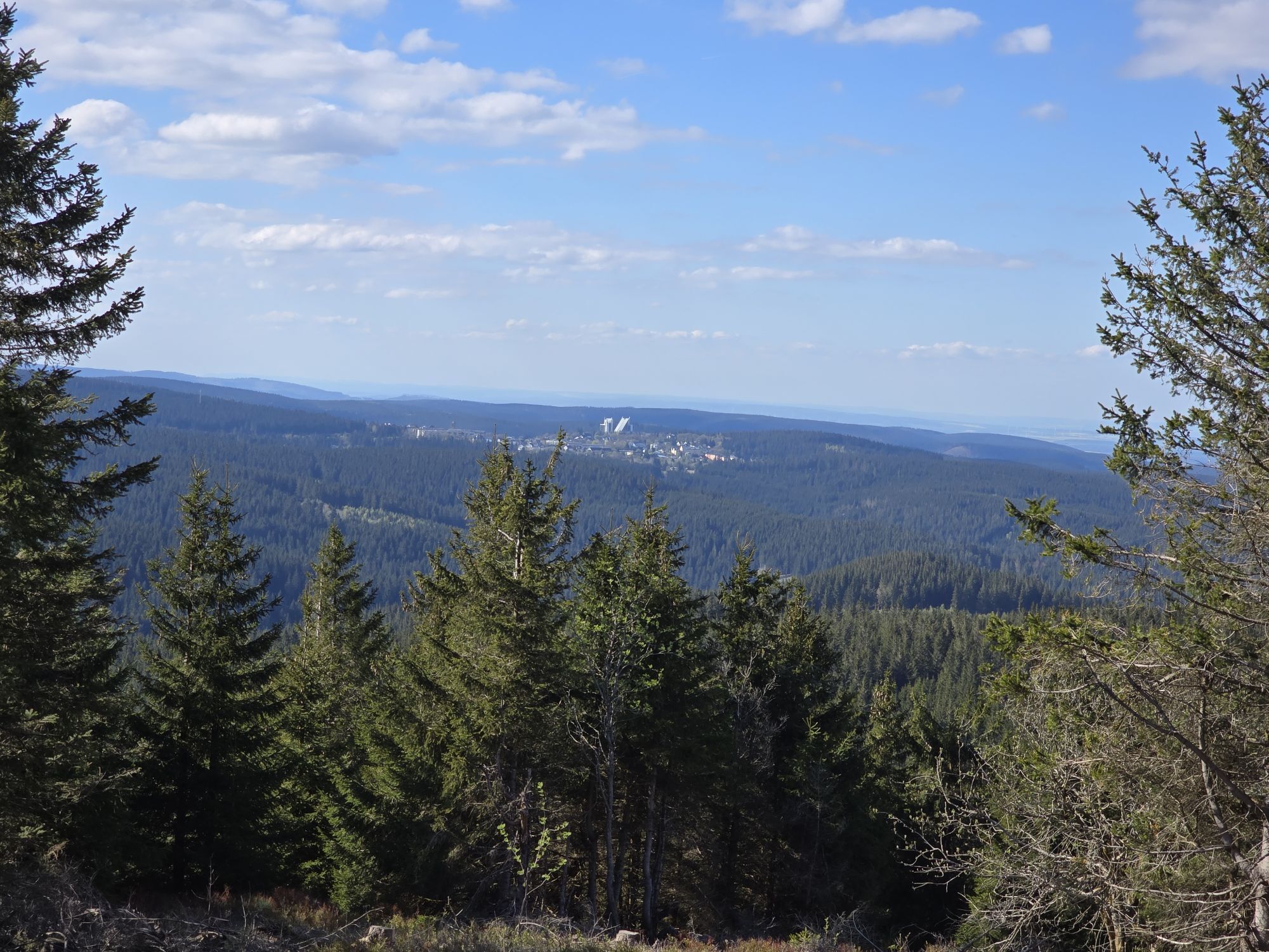
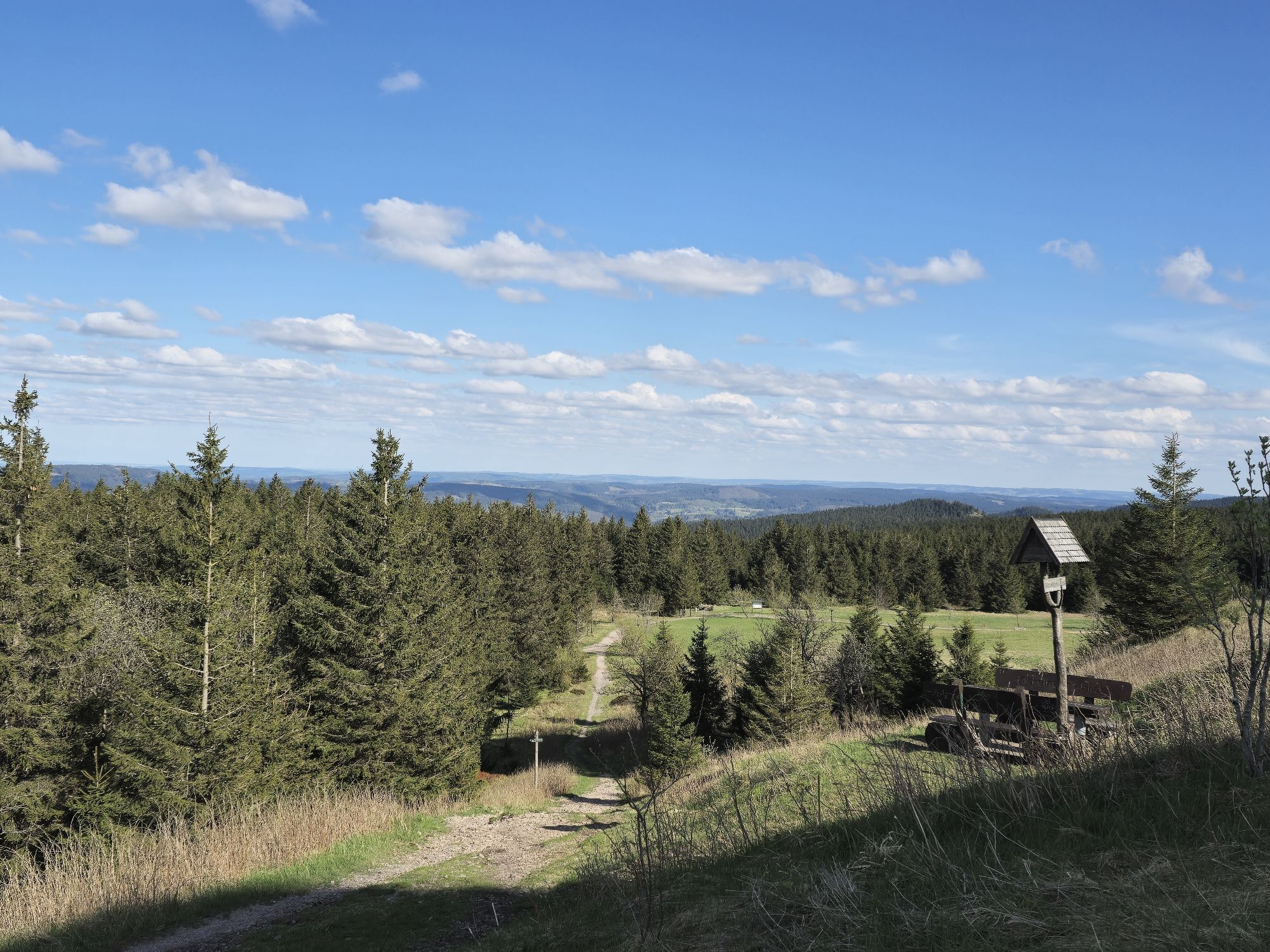
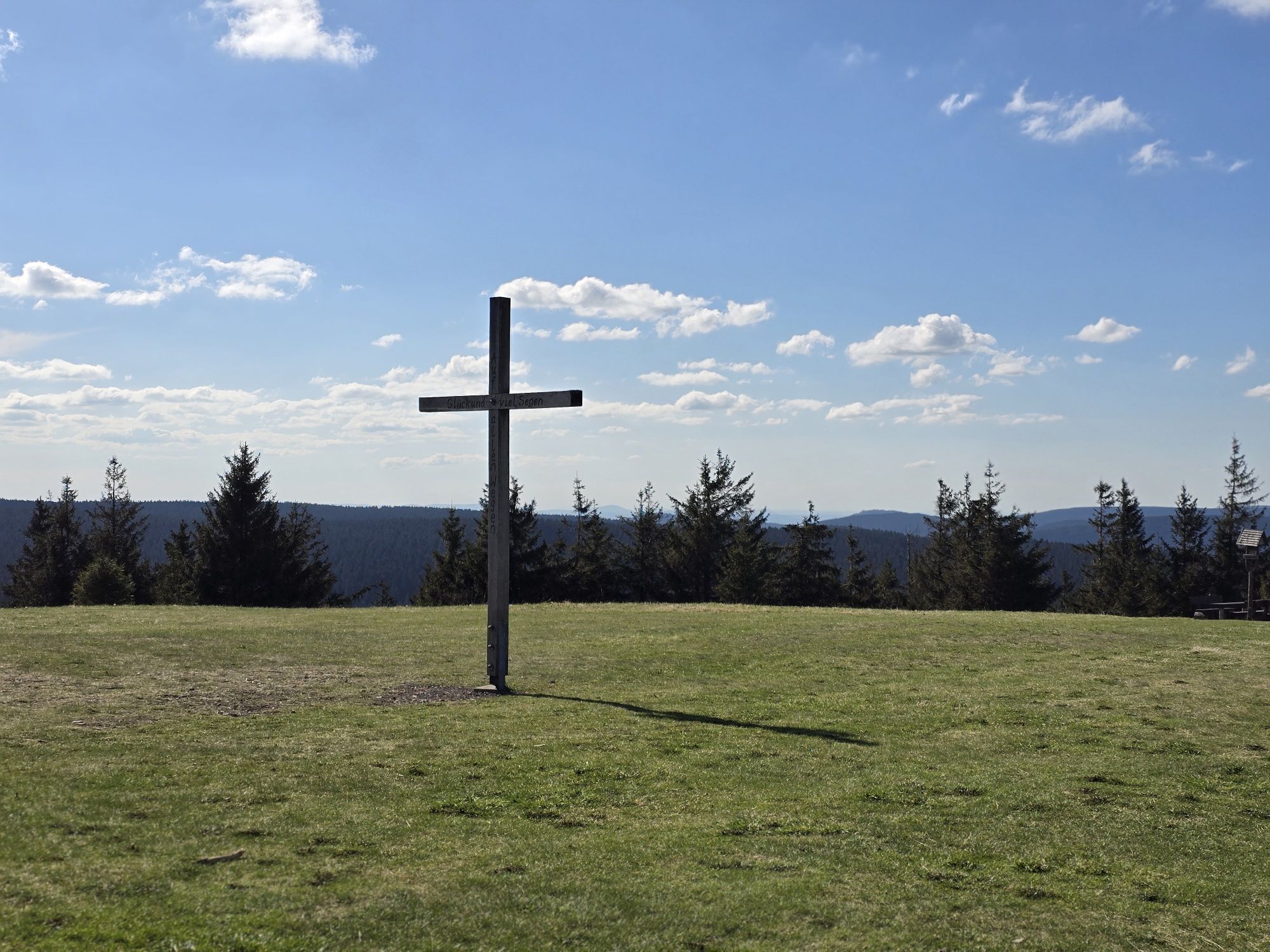
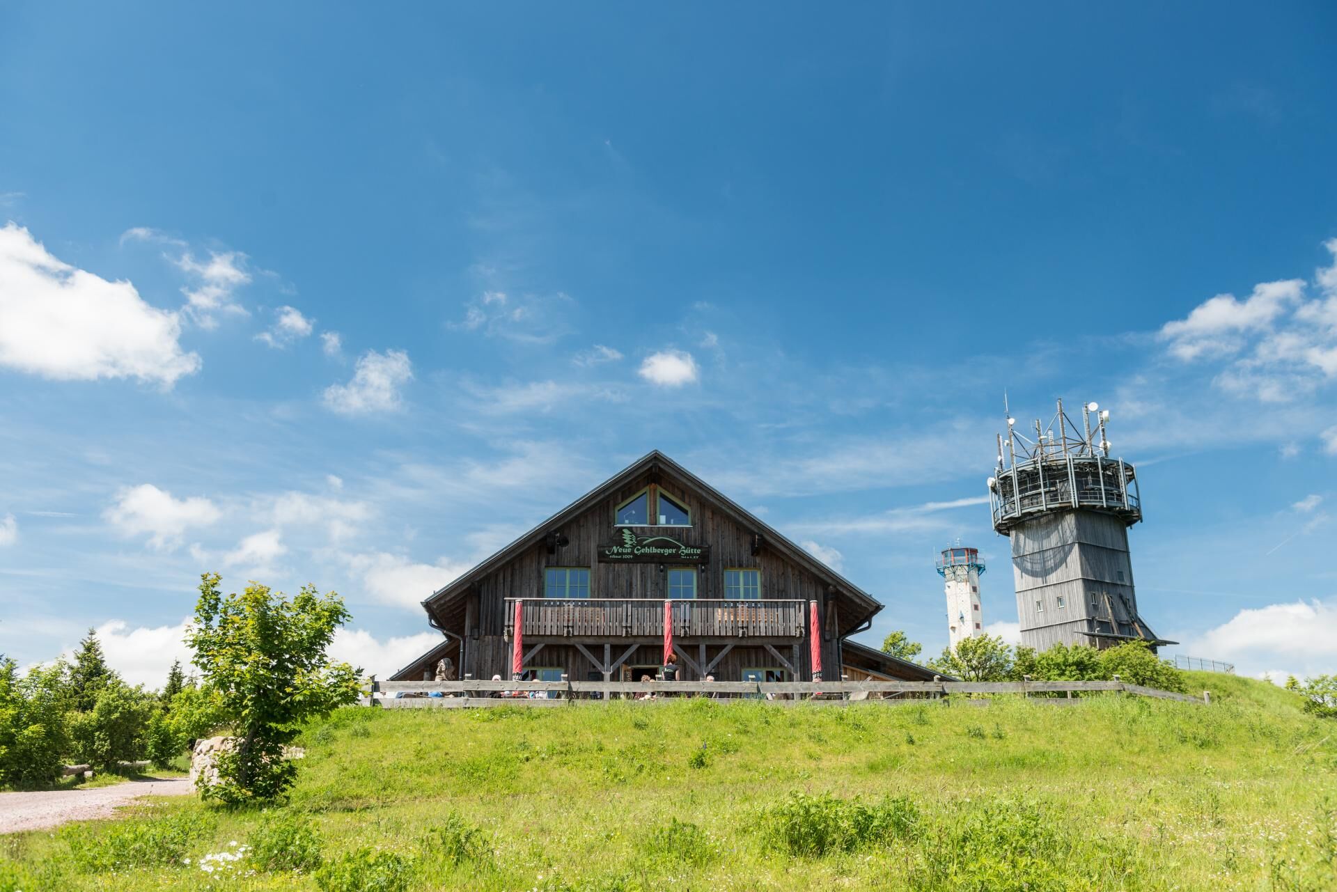
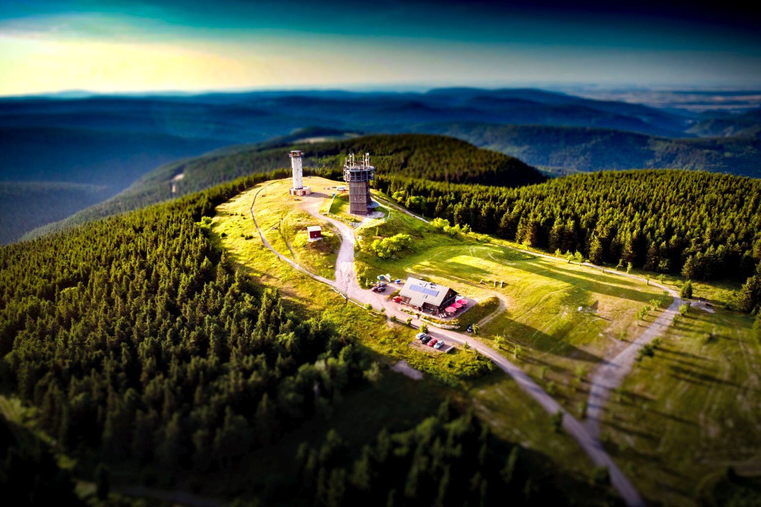
On this route, you travel at the highest heights of the Thuringian Forest and pass many well-known viewpoints along the Rennsteig. The start is near the Schneekopf, which offers an incredible panoramic view in good weather and will be the highest elevation of our route. It continues over the Golden Bridge to the Mönchshof restaurant and then to the Hohe Warte with viewing tower. Both options are definitely recommended for a stop. Green spruce forests, wide views, and a mix of natural broad and narrow paths and paved forest roads characterize this route. Shortly before the end, we also pass the Suhler Hut, which invites you to reflect on the tour.

Ano
Ano
MTB: All Terrain; E-MTB
Route use & forest restructuring
In times of bark beetle infestation and forest restructuring, we ask for your understanding that not every path is always perfectly passable; you might have to dismount or accept a detour. We are in exchange with ThüringenForst and all forest owners and are doing our best to ensure that recreation in the forest remains possible for everyone. Thank you for your understanding and mutual consideration… our forest concerns us all!
RIDE ONLY ON PATHS
Never ride off-trail; otherwise, you harm nature! Respect local path closures! Forestry, cattle drives, and conservation concerns justify these. Local closures can also be justified in recreational areas. The way you ride determines the actions of authorities and administrations. On private property, you are often only tolerated.
LEAVE NO TRACE Do not brake with locking wheels (except in emergencies)! Locking brakes promote soil erosion and cause path damage. Adapt your riding style to the ground and path conditions. Not every path tolerates every braking maneuver and riding style.
KEEP YOUR MOUNTAIN BIKE UNDER CONTROL Inattentiveness, even for a few seconds, can cause an accident. Adjust your speed to the situation. Pedestrians, obstacles, or other bikers may appear at any time in blind spots. You must be able to stop within sight! For your safety and that of others.
RESPECT OTHER NATURE USERS Announce your passing well in advance. Do not startle other path users! Reduce your speed to walking pace or stop when passing. Keep in mind that other path users may notice you too late. If possible, ride only in small groups.
CONSIDER ANIMALS Grazing animals and all other animals in forest and field require special consideration! Close gates after passing through. Leave the forest early at dusk to avoid disturbing animals during feeding.
PLAN AHEAD Start your route as close to home as possible. Check your gear, realistically assess your skills, and choose the area where you want to ride accordingly. Bad weather or a breakdown can significantly extend your ride. Be prepared for unforeseen situations: think of tools, provisions, and a first aid kit. Wear safety gear! A helmet can protect but is not a life insurance.
Arrival by car
There are various options to arrive by car: via Gräfenroda, Suhl (Schmiedfeld), Ilmenau (Rennsteig station), and Oberhof you can reach the state road between Oberhof and Schmiedefeld. Parking at the Schneekopf hiking parking lot (parking is fee-based, moderate daily charge)
Arrival by MTB
MTB route Rennsteig from and to Elgersburg, Ilmenau, Schmiedefeld, Suhl
Access by public transport
On weekends, take the Rennsteig shuttle of the South Thuringia Railway to Rennsteig station. Then by train to Zella-Mehlis - bus transfer to Oberhof
Gehlberg (Schneekopf parking lot), Gehlberg (hiking parking lot at Schmücker Straße), Mönchhof (access from Elgersburg), Schmücke (approach via Schmücker Straße)
S1
Trails: Ø S0, max. S1 (var.: S2)
App: Thuringian Forest App
Map: Hiking map Verlag Grünes Herz "Biosphere Reserve Thuringian Forest" Scale: 1:35,000
Arrival by car: on state road between Oberhof and Schmiedefeld, parking at Schneekopf hiking parking lot (parking is fee-based, moderate daily charge)
Arrival by MTB: MTB route Rennsteig from and to Elgersburg, Ilmenau, Schmiedefeld, Suhl (see also roadbook)
This route was created as part of the forest restructuring project and in cooperation with ThüringenForst.
Oblíbené prohlídky v okolí
-
4.3
Rund um die Ohratalsperre
světloTuristika 14.5 km -
4.4
Circular route - Around the Heyda Dam - Thuringian Forest
středníTuristika 7.59 km -
3.0
Circular hike - "4 ponds hike" Neustadt am Rennsteig - Thuringian Forest
heavyTuristika 12.6 km -
4.6
Hike over the Rennsteig & the Schneekopf to the Schmücke
heavyTuristika 20.9 km -
3.8
Rundweg Talsperre
středníJízda na kole 14.5 km -
4.0
Circular hiking route "Oberschönauer Felsenwanderung" - Steinbach-Hallenberg - Thuringian Forest
heavyTuristika 12.0 km -
The Rennsteig - long-distance hiking trail from Hörschel to Blankenstein - Thuringian Forest
heavydálková pěší trasa 169.0 km -
4.0
Zu den Schanzen im Kanzlersgrund
středníTuristika 9.58 km -
5.0
Circular hike to Bärenstein & Pfanntalsteich
středníTuristika 9.10 km -
5.0
Circular Hiking Route - Lütsche-Flößgraben - Thuringian Forest
heavyTuristika 13.8 km
Pěší turistika a stopování


Nenechte si ujít nabídky a inspiraci pro vaši příští dovolenou
Vaše e-mailová adresa byl přidán do poštovního seznamu.