


"Thuringian Forest Nature Park Route" - Stage 3. - From Oberhof to Masserberg
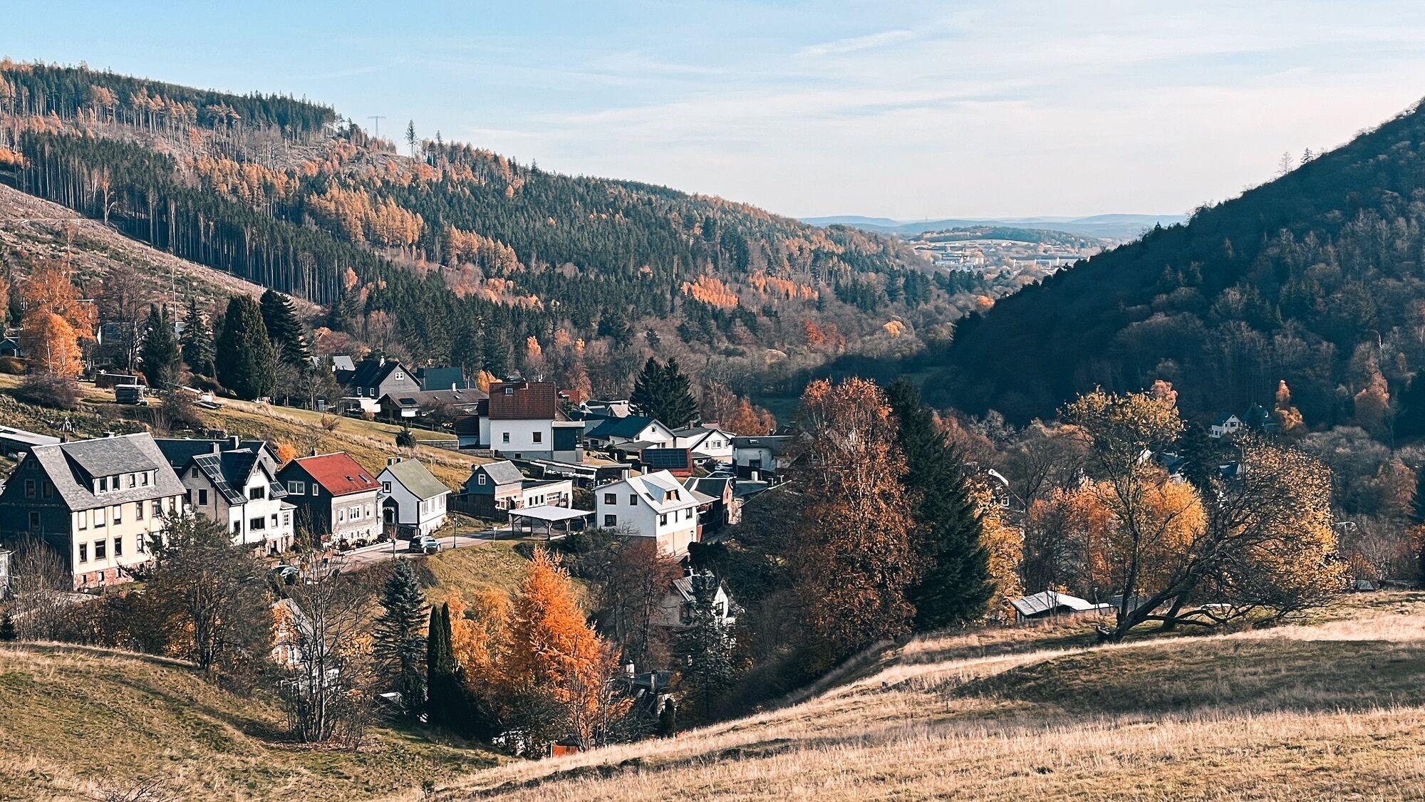
The third stage of the Thuringian Forest Nature Park Route is a picturesque journey that leads from Oberhof to Masserberg, passing through some of central Germany's most beautiful places. Starting in Oberhof,...
The third stage of the Thuringian Forest Nature Park Route is a picturesque journey that leads from Oberhof to Masserberg, passing through some of central Germany's most beautiful places. Starting in Oberhof, a well-known winter sports center, the route goes through the charming Ohrdruf before arriving in Ilmenau, a town with a rich cultural history. It then continues up to Schmiedefeld am Rennsteig, where nature shows its untouched side. The route then passes through Suhl, a town deeply rooted in weapons manufacturing, and proceeds to Themar, known for its historic townscape. A special highlight is the impressive open-air museum in Kloster Veßra. Finally, the route reaches Schleusingen, a town with an impressive castle, before ending in Masserberg, an idyllic spa town that invites relaxation. This stage offers not only breathtaking landscapes and cultural sights but also the opportunity to enjoy local cuisine and hospitality.


Ano
Mandatory equipment for winter
Winter tires: Legally required in Germany in winter road conditions (M+S or snowflake symbol).
Route notes & special features
The route leads over the Rennsteig and through altitudes up to over 900 m.
Weather and road conditions can change quickly – especially at transitions between valleys and highlands.
The route is not continuously cleared like highways, so anticipatory driving is important.
The Nature Park route runs on public roads. Please pay special attention to other road users, especially on the winding stages. The route often crosses popular cycling and hiking trails.
Tourist Information Tourist information along the tour:
Tourist Information Oberhof Tourist Information Ohrdruf Tourist Information Frankenhain Tourist Information Ilmenau Tourist Information Stützerbach Tourist Information Schmiedefeld am Rennsteig Tourist Information Suhl Tourist Information Themar Tourist Information Schleusingen Tourist Information Schönbrunn Tourist Information MasserbergWebové kamery z prohlídky
Fallbachhang Bergstation
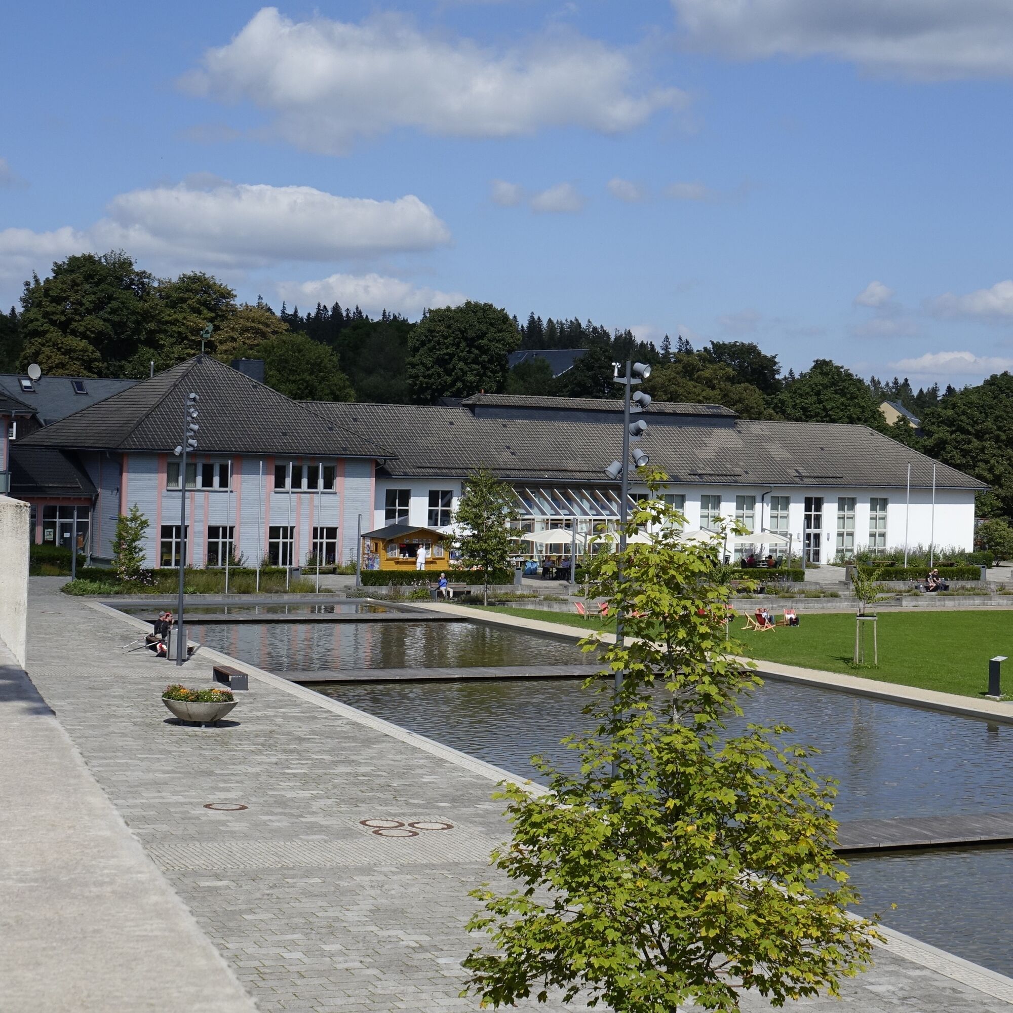
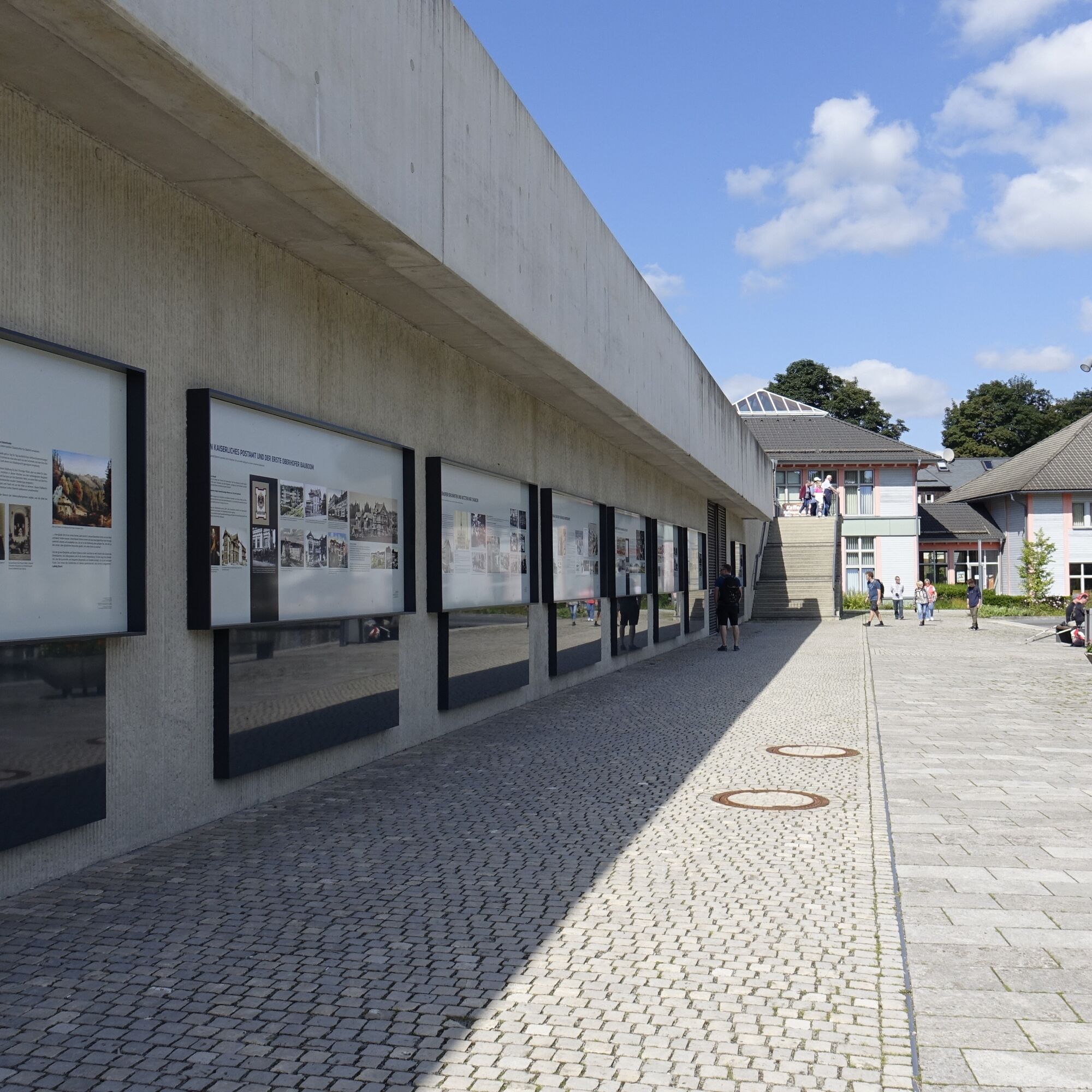
Haus des Gastes in Oberhof
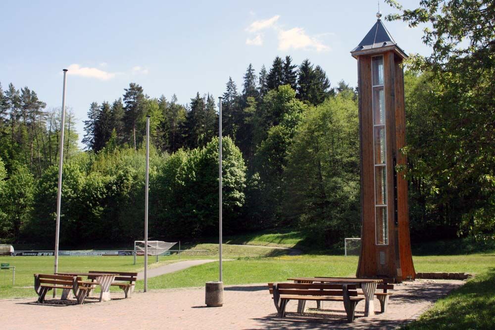
Frauenwald am Rennsteig
Schleusingen - Marktplatz
TU Ilmenau
Rennsteiggarten Oberhof
Elgersburg - Hohe Warte
Crawinkel
Pension Schmiechen Oberhof
Fallbachhang Talstation
Rennsteig - Loipe am Stein 16
Schneekopf
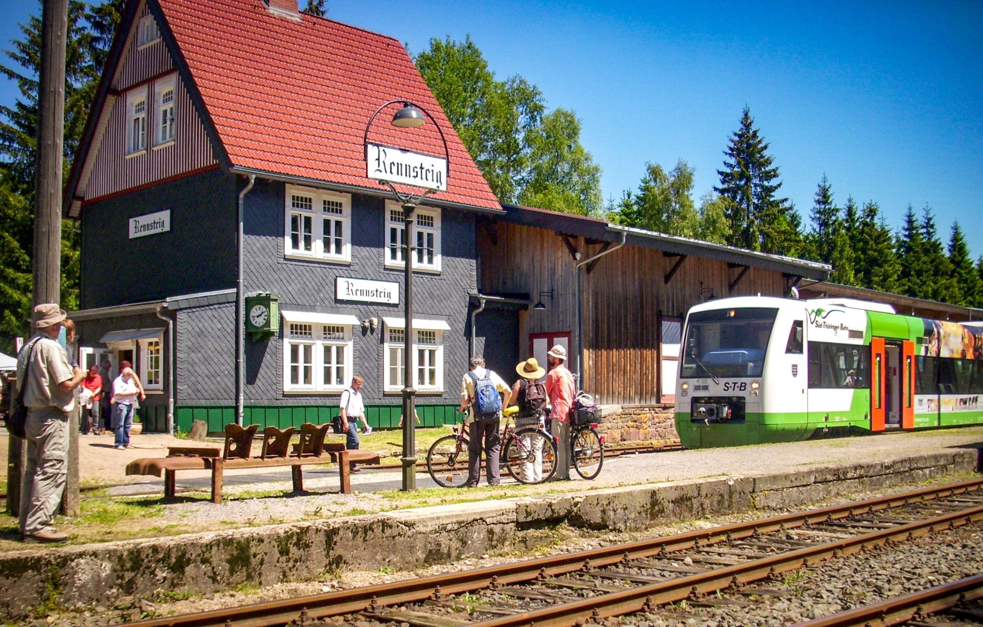
Rennsteig Bahnhof
Sportgymnasium Oberhof
Schmiedefeld
Ilmenau - Kickelhahn Turm
Golfkletterpark Oberhof
Manebach Berggrabenweg
Ilmenau ITZBund
Schlossberg Stützerbach
Zella-Mehlis - Rathaus
Oblíbené prohlídky v okolí
- 3.0
Circular hike - "4 ponds hike" Neustadt am Rennsteig - Thuringian Forest
heavyTuristika 12.6 km - 3.8
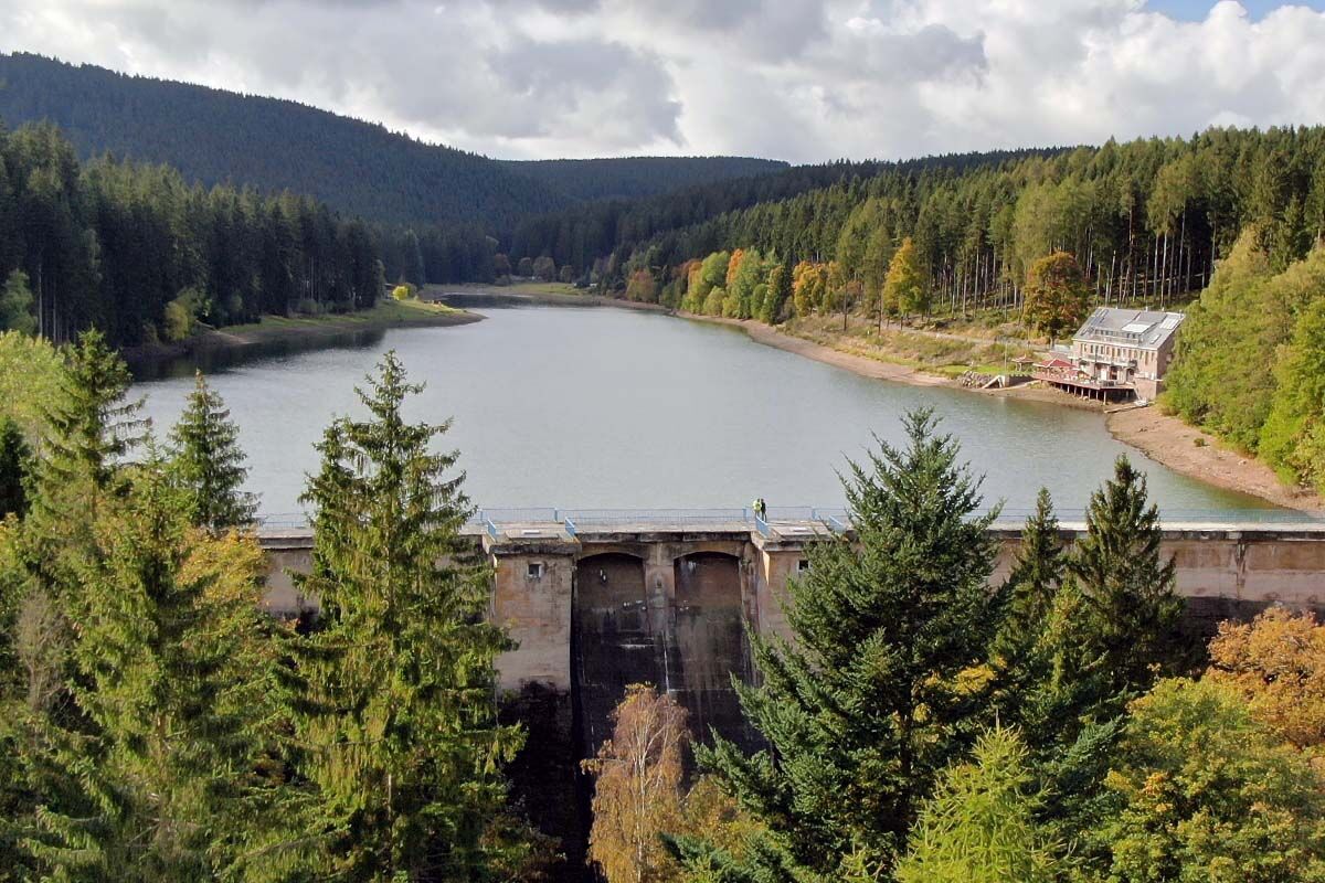
Rundweg Talsperre
středníJízda na kole 14.5 km The Rennsteig - long-distance hiking trail from Hörschel to Blankenstein - Thuringian Forest
heavydálková pěší trasa 169.0 km- 4.0
Circular hiking route "Oberschönauer Felsenwanderung" - Steinbach-Hallenberg - Thuringian Forest
heavyTuristika 12.0 km - 4.0
Zu den Schanzen im Kanzlersgrund
středníTuristika 9.58 km - 4.5
Hike over the Rennsteig & the Schneekopf to the Schmücke
heavyTuristika 20.9 km - 5.0
Hiking - Summit hiking trail - Suhl-Goldlauter - Thuringian Forest
heavyTuristika 32.1 km Circular hike - Around the Schönbrunn reservoir - Thuringian Forest
středníTuristika 15.6 km- 5.0
Circular hike to Bärenstein & Pfanntalsteich
středníTuristika 9.10 km - 5.0
Circular Hiking Route - Lütsche-Flößgraben - Thuringian Forest
heavyTuristika 13.8 km

Pěší turistika a stopování


Nenechte si ujít nabídky a inspiraci pro vaši příští dovolenou
Vaše e-mailová adresa byl přidán do poštovního seznamu.