







Saale - Water hiking from Jena to Camburg - Stage 9
Úroveň obtížnosti: 2
In this stage, gentle valley sections alternate with rugged shell limestone cliffs. You paddle below the impressive Dornburg Castles.
All water hikers who want to start in Jena begin this stage at the...
In this stage, gentle valley sections alternate with rugged shell limestone cliffs. You paddle below the impressive Dornburg Castles.
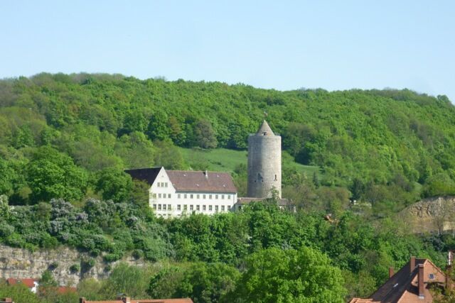
All water hikers who want to start in Jena begin this stage at the foot of the Kunitz Castle. After just 1.5 km, the Saale divides at the Porstendorf weir and flows around the Raben Island. Water hikers on through trips can choose the right route (Old Saale) if water levels are sufficient, thus avoiding the hydropower plant in Porstendorf, while the left variant invites you to stay at a campsite, bathing lake, and beer garden. Behind the Raben Island, the Dornburg Castles can already be seen.
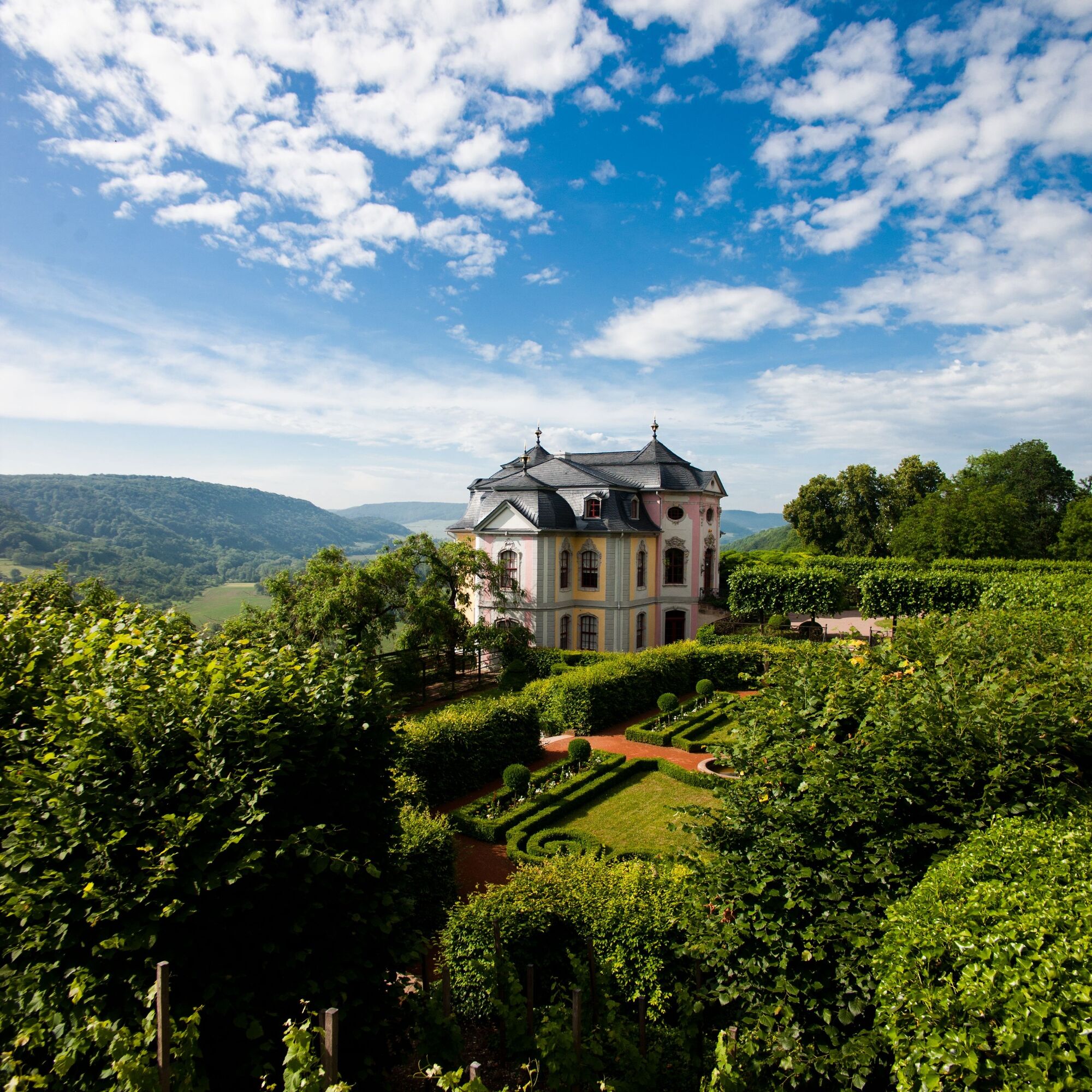
Aligned like pearls and with vineyards at their feet, first the Renaissance castle, then the Rococo castle, and also the Old Castle greet the water hiker. Goethe once looked down from here onto the Saale, and you can wave to the Rose Queen.
But do not forget to portage the hydropower plant in Dorndorf. The easiest way is to enter the mill canal on the right and use the exit point (left) before the intake structure.
The Saale valley now becomes considerably narrower. Gentle valley sections alternate with rugged shell limestone cliffs. The hydropower plant in Döbritschen enables both water hikers and fish to overcome the weir without difficulty with the latest technology: depending on the water level, you can expect a fish-canoe passage (right) as an adventurous but harmless water slide.
Afterwards, you can relax from your adventure at the picturesque rest area before, a few river bends further, the white keep of Camburg announces the end of this stage.
Route progression:
Jena Gries Bridge (official entry and exit point / rest area) Jena North (rest area) Jena Kunitz (rest area) Porstendorf Weir (portage) Porstendorf (portage / official entry and exit point / rest area) Dorndorf Hydropower Plant (portage) Dorndorf Steudnitz (official entry and exit point / rest area) Döbritschen Hydropower Plant (portage or use canoe-fish passage / official entry and exit point / rest area) Camburg Weir (portage / entry and exit point) Camburg (official entry and exit point / rest area)
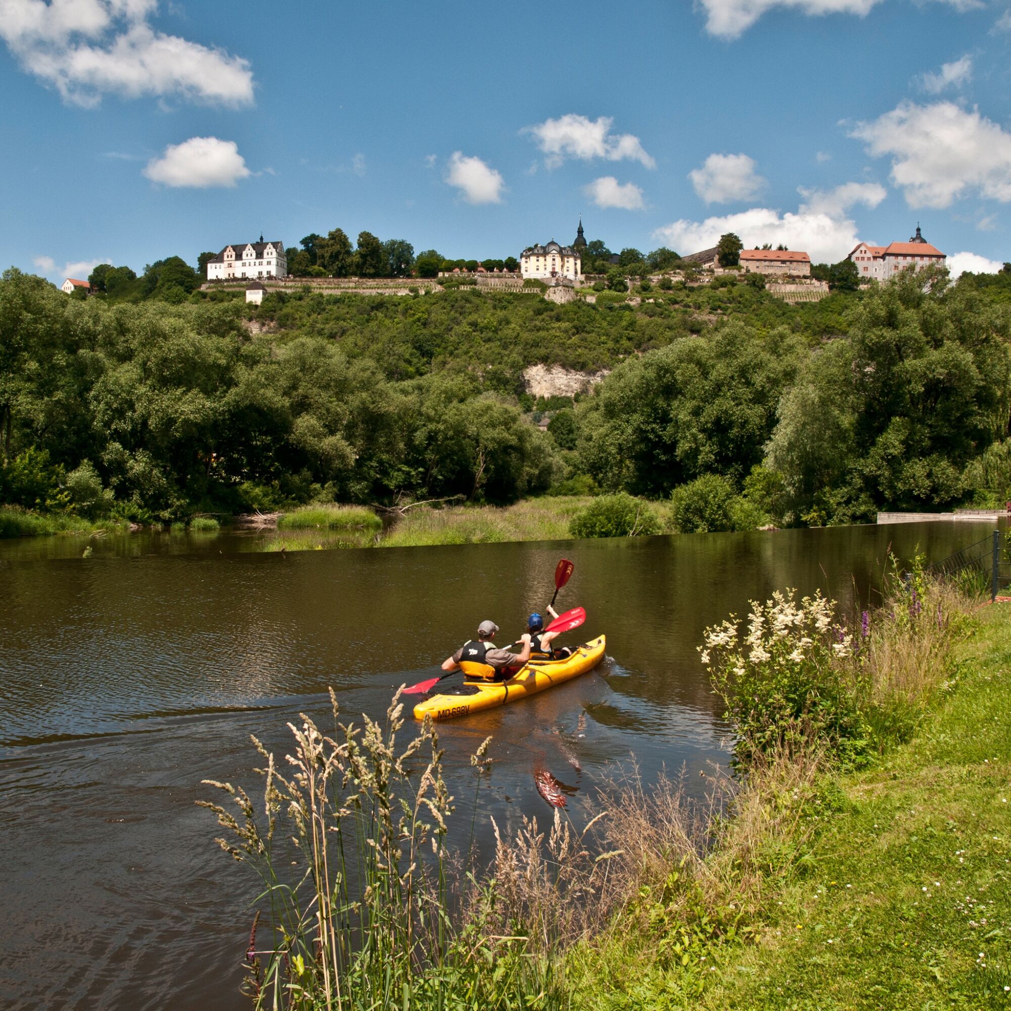
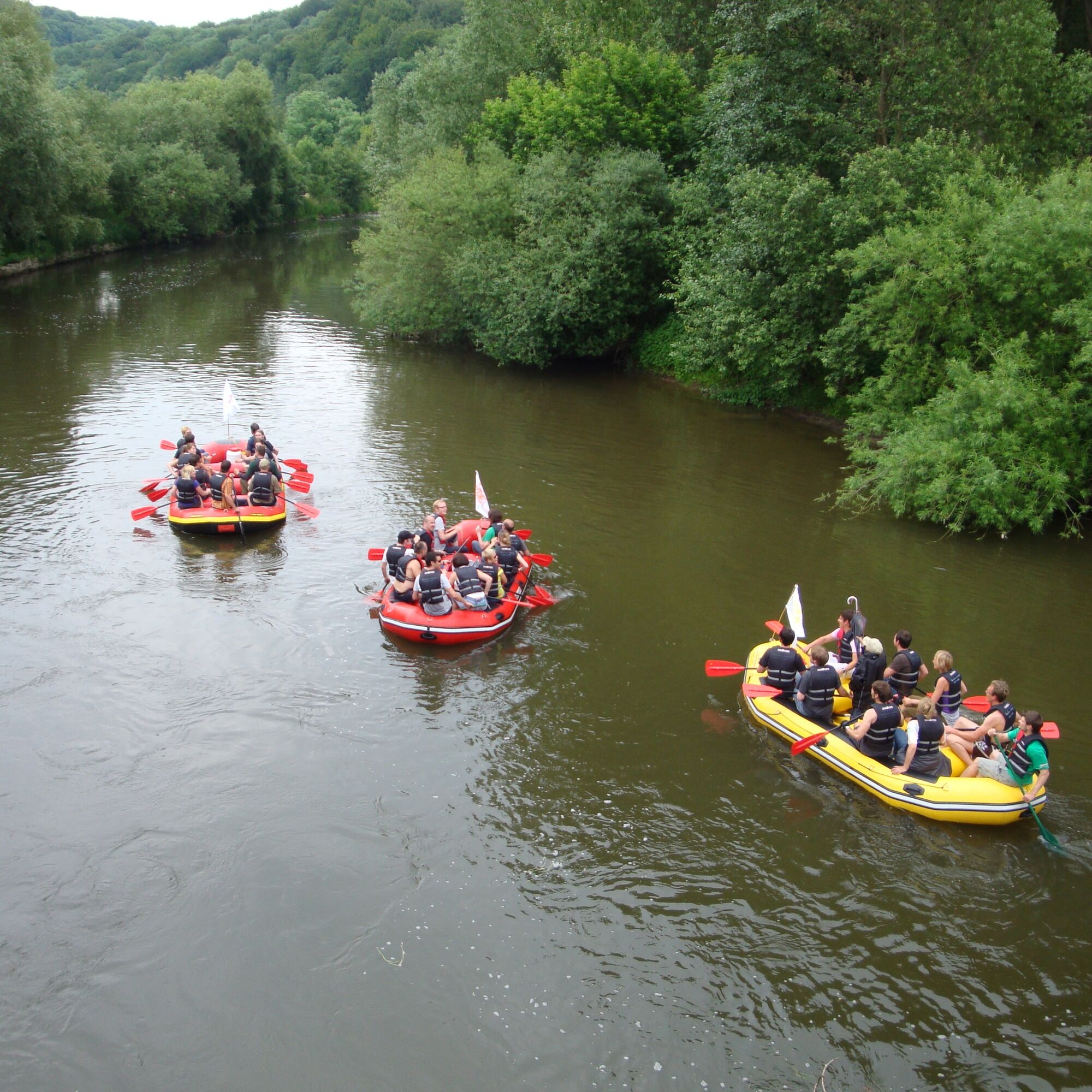
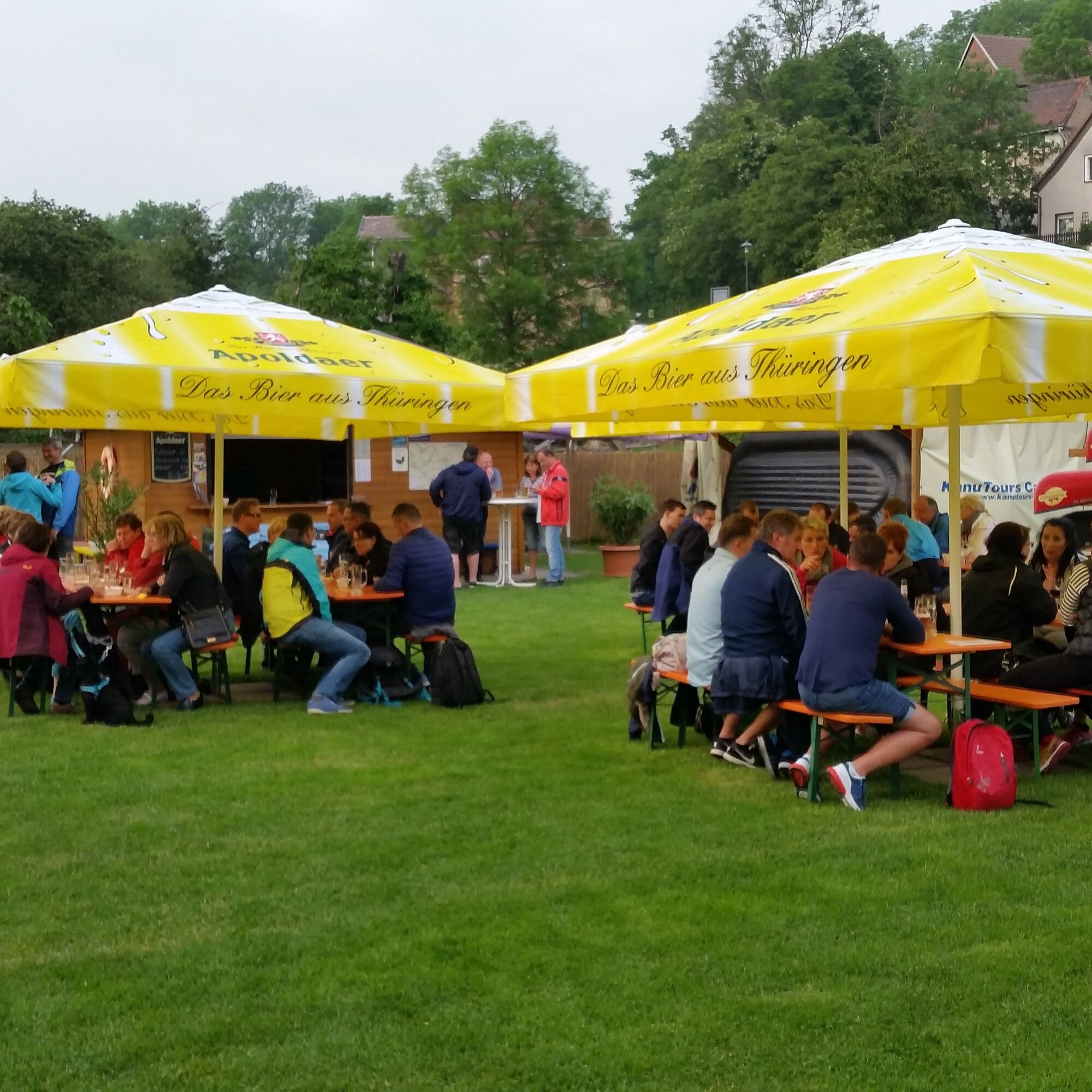

All water hikers who want to start only in Jena begin this stage in Jena at the Gries or at the foot of the Kunitz Castle. At the weir in Porstendorf, the Saale divides and flows around the Raben Island. Water hikers on through trips can choose the right variant (Old Saale) if water levels are sufficient, thus avoiding the hydropower plant at Porstendorf, while the left variant (river backwater) invites you to stay at a campsite, bathing lake, and beer garden. Behind the Raben Island, the Dornburg Castles can already be seen. Goethe once looked down from here at the Saale, and you can wave to the Rose Queen. But do not forget to portage the Dorndorf hydropower plant. The easiest way is to enter the mill canal on the right and use the exit point (left) before the intake structure.
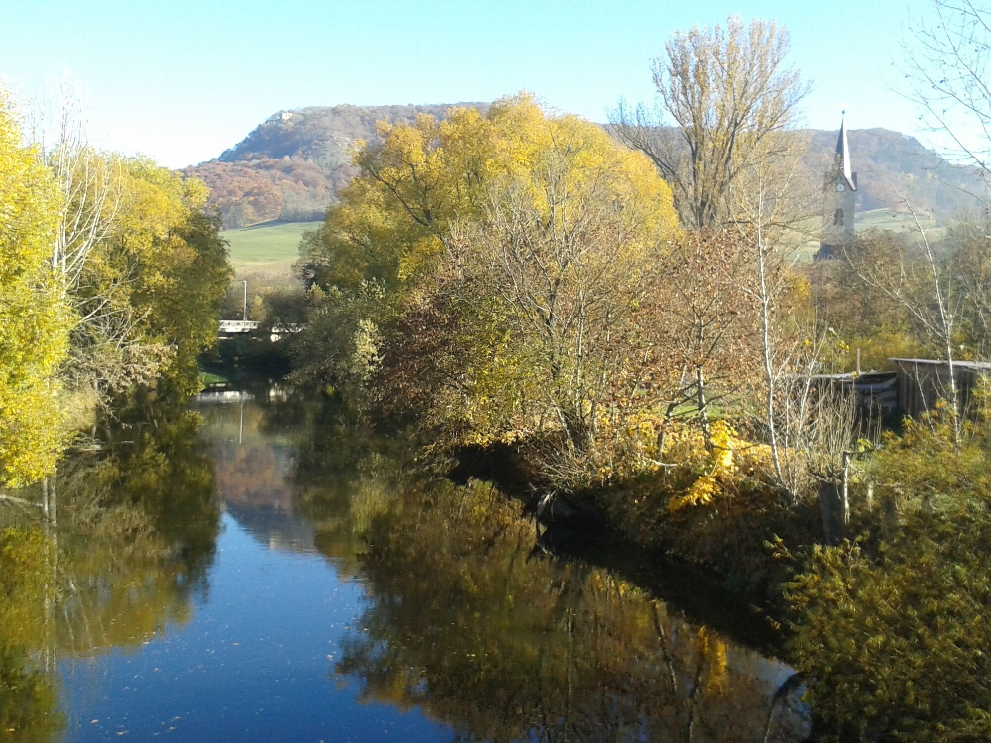
The Saale valley now becomes significantly narrower. The hydropower plant in Döbritschen, with the latest technology, allows both water hikers and fish to overcome the weir easily: depending on water level, a canoe-fish passage (right) awaits you as an adventurous but harmless water slide. Afterwards, you can relax from your adventure at the picturesque rest area before, a few river bends further, the white keep of Camburg announces the end of this stage.
Life jackets, water shoes
The weirs and hydropower plants in the Saale must be portaged unless otherwise indicated. You should be at least two people to portage canoes; for inflatable boats, at least four people are necessary.
Please note that the flow speed of the Saale depends on the water level. We advise against water hiking if the water level is too high after heavy rainfall.
You can find the current water level at the Rothenstein gauge here
2
Stroll through the castle garden of the Dornburg Castles. From here you can enjoy a breathtaking view over the fertile green Saale valley.
Získejte přehled Vždy živě na místě s více než 9 500 webkamerami. bergfex Jako uživatel Pro si nyní můžete zobrazit odpovídající webové kamery pro mnoho prohlídek v aplikaci prohlídky z. Můžete si tak přímo prohlédnout aktuální podmínky. Oblíbené prohlídky v okolí
Rundweg Rudelsburg
středníTuristika 8.63 km- 4.5
Saale - water hiking from Camburg to Naumburg - stage 10
světloKajak / Kánoe 26.3 km Zur Rudelsburg
středníMountainbike 52.5 kmRudelsburg Runde mit Weingut Zahn
světloTuristika 8.97 km- 3.0
Jena Schottplatz Ammerbacher Platte
středníTuristika 6.46 km GL - Jenalöbnitz - Königsstuhl - Kunitzburg - Hufeisenweg - GL
středníTuristika 15.4 kmGL - Laasan - Kunitzburg - Jenalöbnitz - Taupadel - GL
středníTuristika 17.4 kmDornburg/Röderbach (durch die Schlucht)
středníTuristika 7.43 kmKlausloch in Tümpling
světloTuristika 1.69 kmStadtrundgang Jena
středníProcházka 1.25 km

Pěší turistika a stopování


Nenechte si ujít nabídky a inspiraci pro vaši příští dovolenou
Vaše e-mailová adresa byl přidán do poštovního seznamu.





