


Werra Water Hiking 5: Vacha - Berka/Werra
Úroveň obtížnosti: 3
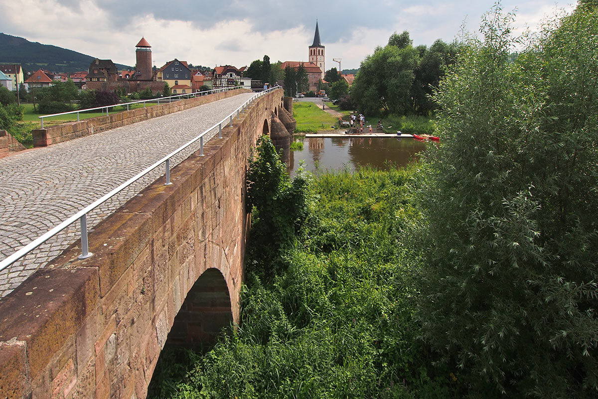
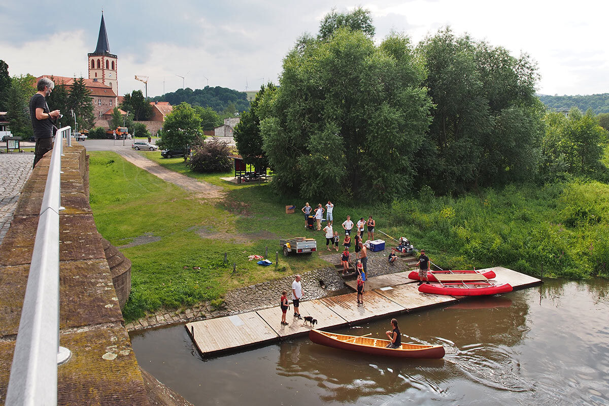
This water hiking stage on the Werra begins at the medieval Werra bridge in Vacha, formerly an impassable border area, now a bridge of German unity between Thuringia and Hesse. Directly behind the bridge...
This water hiking stage on the Werra begins at the medieval Werra bridge in Vacha, formerly an impassable border area, now a bridge of German unity between Thuringia and Hesse. Directly behind the bridge on the left is a well-developed boat launch site. About 1 km west downstream you cross (unnoticed now) the state border at Philippsthal to Hesse, where the border shifts from the right to the left Werra bank.
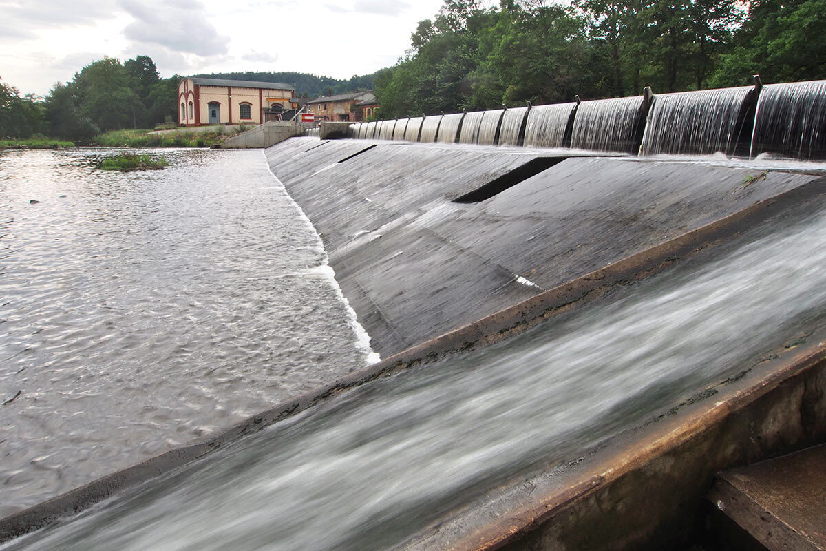
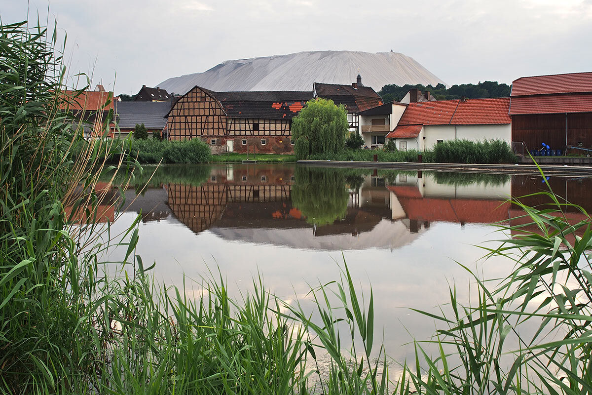
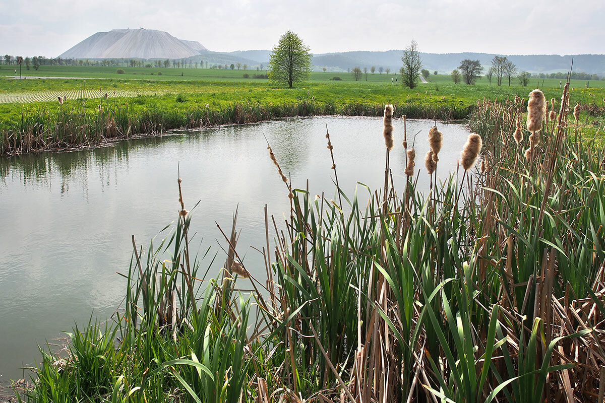
Another approx. 1 km further you drift through the wooded Werra floodplain in gentle bends to the first weir in Philippsthal in Hesse. The weir dams the Werra diagonally right to the millrace for a hydropower plant. On the left before the weir, there is a landing stage for a short portage. Philippsthal is a historic place on both sides of the Werra directly on the border with Thuringia with a baroque landgrave castle, castle park, swimming pool, restaurants, and shopping facilities. And Philippsthal has an active potash mine in the district of Röhrigshof, which can be easily recognized by the large potash spoil heap left behind Philippsthal. The spoil heap of the Hattorf potash plant near Röhrigshof is a landmark of this area. Here you are right in the middle of the Hessian-Thuringian potash mining area, which was developed at the beginning of the 20th century. Part of the industrial development of the salt deposits is the chain of hydropower plants on the Werra between Tiefenort and Berka/Werra. These power plants were mostly built at the sites of former mills to supply electricity to the potash mines. At that time, there was no public power supply, so the operators had to manage generation themselves. The power plant and weir facilities built since 1905 are partially preserved as technical monuments in their original condition.
After Röhrigshof, the Werra flows straight for about 4 km further to Heimboldshausen, with fields of the floodplain on the left and forest foothills of the Trieschberg on the right. In front of Heimboldshausen stands a dam weir for the Harnrode hydropower plant in the river. Immediately to the left before it is a landing stage for the next short portage. From here, the Werra turns in a large loop northwards, and after about 500 m the diverted power plant canal flows back in. The original preserved equipment of the Centrale Harnrode can be visited by appointment and guided tour at the Werra Potash Mining Museum Heringen (T 06624 5127, info@kalimuseum.de).
Behind Heimboldshausen, the Werra is directed east again by the Hessian forest hills, bypasses the small Philippsthal district Harnrode, and after about 5 km meanders into the wide Werra valley to the next hydropower weir at Lengers. About 250 m after the Werra bridge, there is a landing stage directly left before the weir after a forest patch in a field for another short portage. Lengers has an imposing high weir system and a protected Jugendstil turbine house.
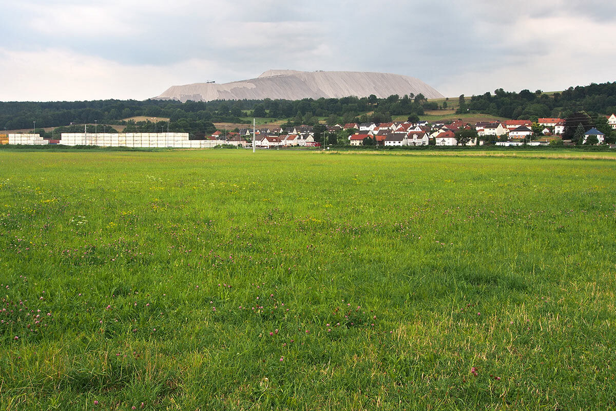
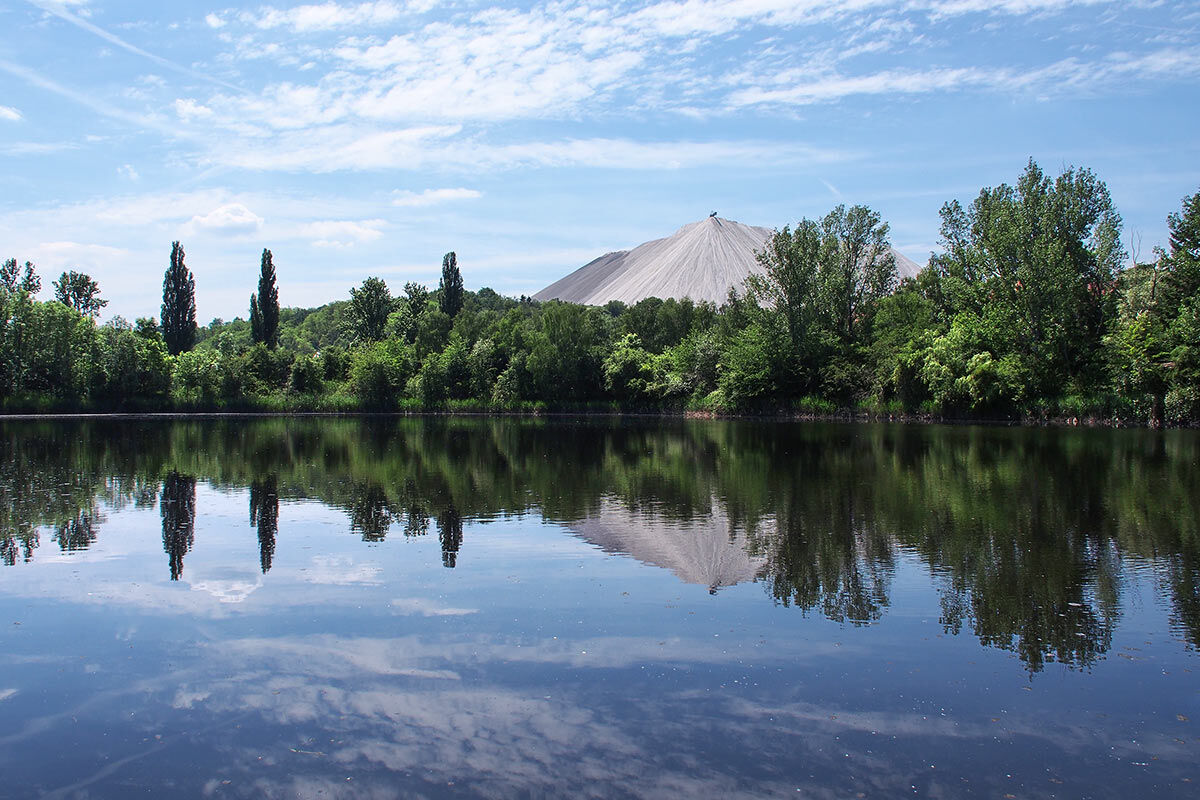
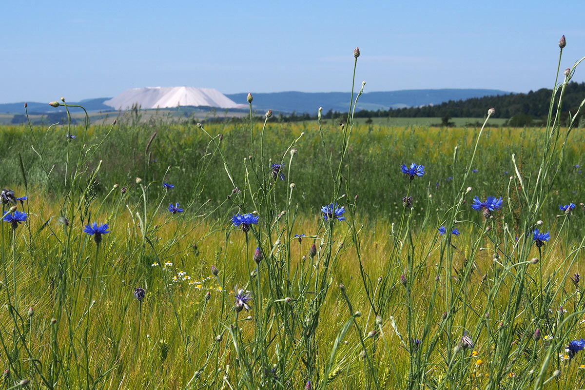
The Werra now flows almost straight again through the broad floodplain northwards, passing Wölfershausen without its own boat landing stage, then shortly after forms a good S-bend into the widening plain and after about 3.5 km reaches Heringen, the "capital" of the Hessian potash mining area. Of course, there is also a hydropower plant in Heringen, supplied with upper water from a dam weir via a millrace. On the left before the weir is a landing stage at the tree-lined field bank for portaging. However, this landing stage is not very favorable for a visit to the busy small town as it is on the Werra bank facing away from the town. Therefore, about 700 m further downstream, a landing stage was set up on the right at the sports field on the Werra meadow, from where the town center is easily accessible. Opposite on the Werra bank is the K+S Kali Werk Werra Wintershall and behind it the widely visible landmark Monte Kali, a spoil heap of the potash plant that can be climbed with a guide for a wide panoramic view.
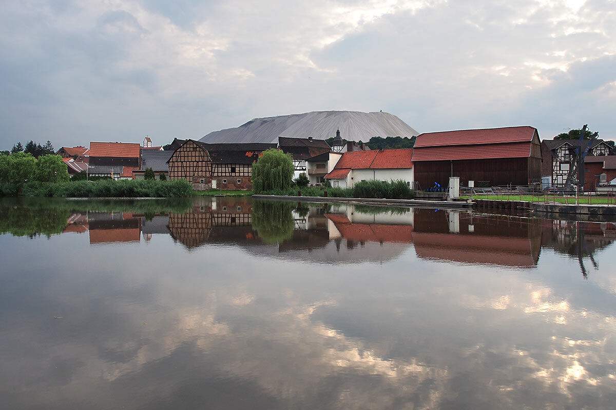
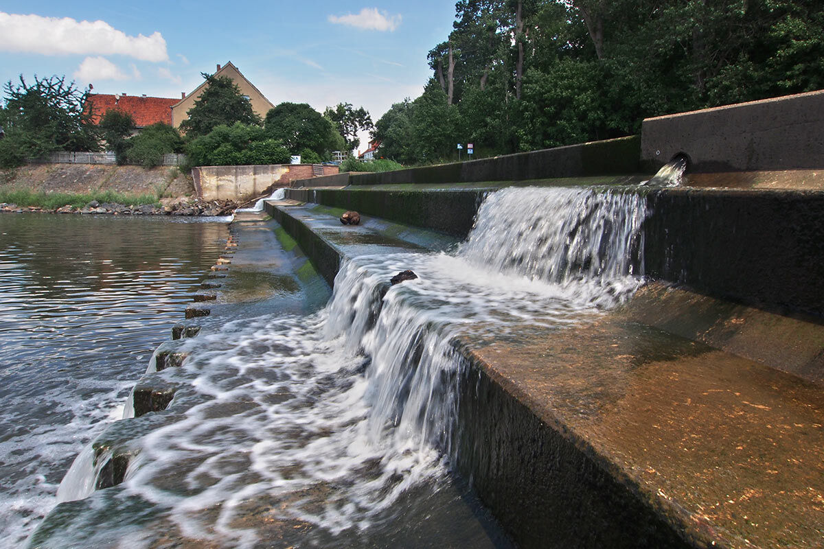
The Werra winds northward from Heringen through the broad valley, always accompanied on the left side by the approximately 1.7 km long potash spoil heap. After about 3 km, at the village of Widdershausen (a district of Heringen), there is a boat landing stage on the right before the Werra bridge. The village center with half-timbered houses and church and several restaurants is about 350 m away across the Werra bridge. Widdershausen again has a hydropower plant in place of the former mill. About 300 m after the Werra bridge, the associated weir must be portaged on the right. Here you have a beautiful view over the impressive water cascade of the weir and across the half-timbered houses of the village to Monte Kali in the background. However, the "beautiful" golden tone of the water and the blanket of foam after the weir also show that the discharge of salt-containing wastewater from the potash industry into the Werra represents an unresolved ecological problem (information at www.wasser-in-not.de). The hydropower plants must be specially protected against the aggressive saltwater, so swimming in the Werra is certainly not recommended.
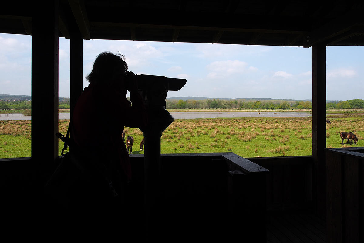
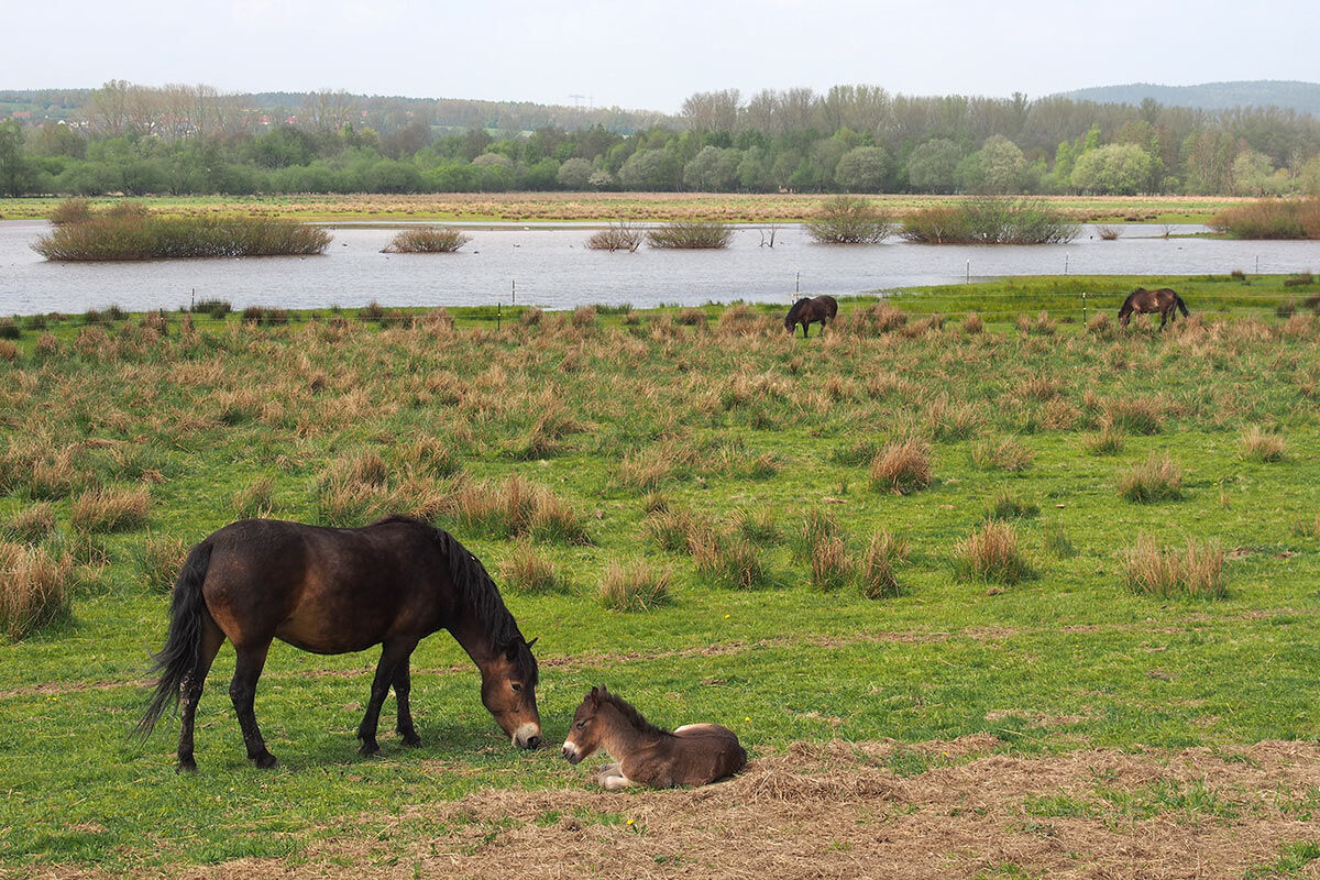
About 1 km behind Widdershausen, you cross the border to Thuringia uneventfully in a field landscape and after another approx. 700 m arrive in Dankmarshausen. Directly in front of the Werra bridge on the right is a boat landing stage for the town. Besides witnesses to centuries-old history, the Rhäden nature reserve is also interesting near Dankmarshausen, one of the most important wetlands in the Hessian-Thuringian area and a passage and resting area for many migratory birds. On the circular hiking trail, there are 3 bird observation towers.
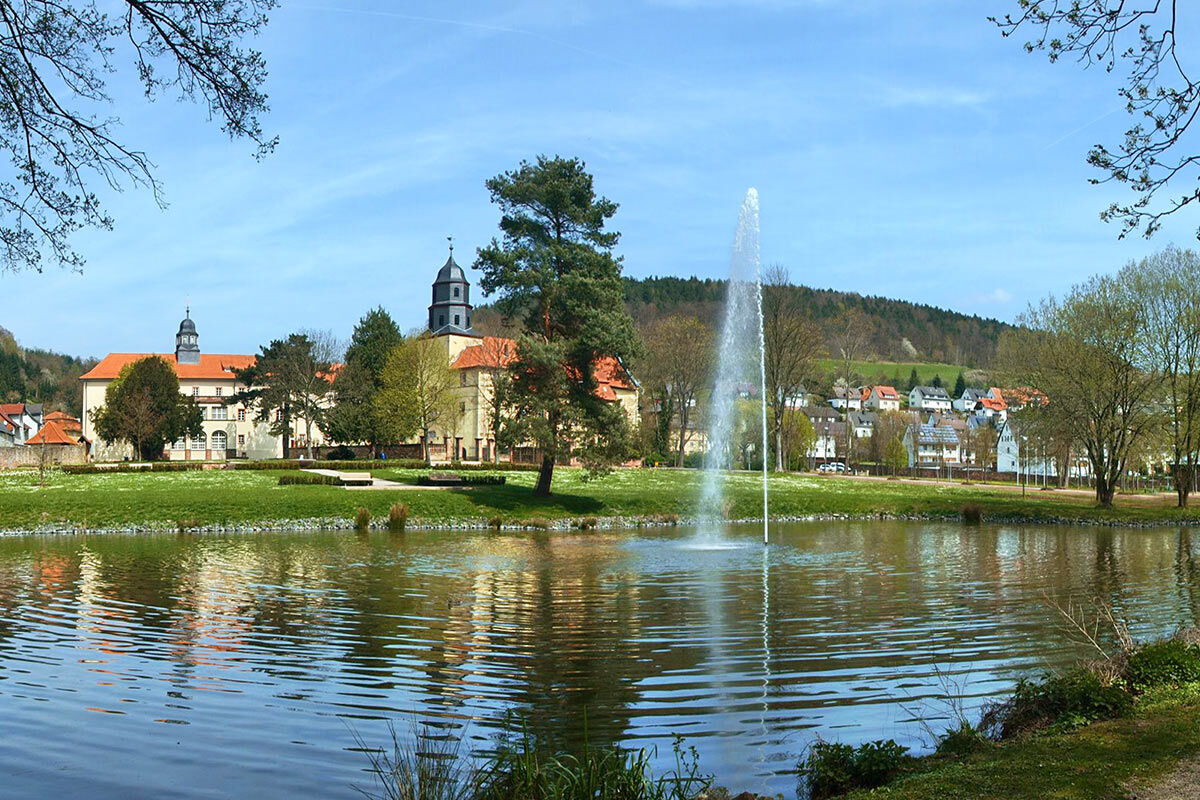
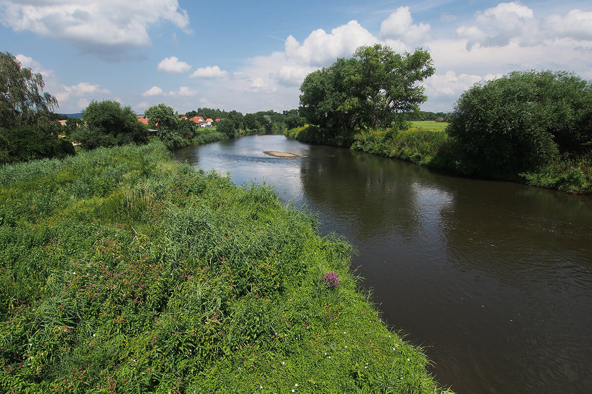
In some bends, the Werra flows east again behind Dankmarshausen, more towards Thuringia. After about 2 river kilometers, you reach Berka an der Werra, an old, historically significant town in the Werra valley. At the town entrance, you bypass a hydropower plant (on the left) along a river barrier and, after a left curve, reach the dam weir and boat landing stage in Berka/Werra.


3
Tourist Information
Heringen InformationSights
Vacha: historic old town with Widemark (town hall), Johanniskirche, Wendelstein Castle (city museum), city wall with towers, medieval Werra bridge, Öchsenberg Philippsthal: Philippsthal Castle & Park Heringen: Werra Potash Mining Museum, Monte KaliAccommodation
Vacha: Grübel Holiday Apartment, Kanzler Holiday Apartment, Hotel "Adler", Guesthouse & Pension "Zum Oechsetal", Google Search: Accommodation in VachaTour Providers
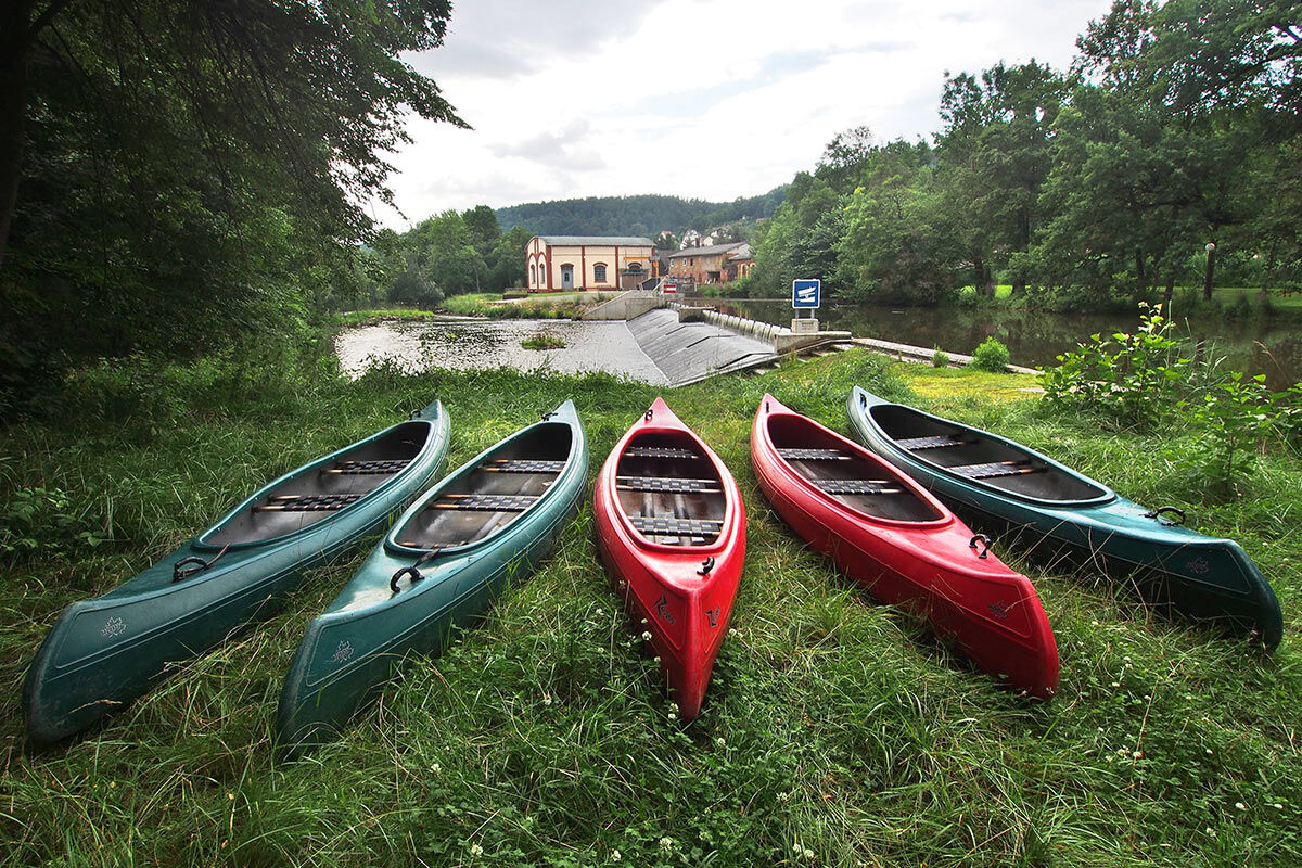
Floßerlebnis Werra Vacha: raft rides, canoe rentals, bike tours, accommodations in Dorndorf and VachaWerra Valley Cycle Path
The Werra Valley Cycle Path runs through the Werra valley over 300 km from the Rennsteig near Neuhaus am Rennweg to the mouth of the Werra in the Weser near Hann. Münden.
Werra Castles Trail
The almost 500 km long long-distance hiking trail Werra Burgen Steig accompanies the Werra in the valley and in the surrounding heights, leading to culturally and historically interesting castles, palaces, and ruins.
Vacha The historic, oldest town in southern Thuringia with the old Werra bridge, Wendelstein castle, and historic market ensemble is worth seeing as a testament to medieval architecture. Info: www.vacha.de | www.museum-vacha.de
Philippsthal Castle and Park former residence (built in 1685) of Landgrave Philipp of Hesse. Info: www.philippsthal.de
Monte Kali At Heringen, a visit to the scenic Monte Kali, an approx. 100 m high spoil heap of the Wintershall potash plant, is worthwhile in good weather. The ascent takes about 15 minutes, the entire guided "mountain tour with panoramic view" about 1.5 hours. It is organized by the Werra Potash Mining Museum Heringen. Info: www.heringen.de | www.kalimuseum.de
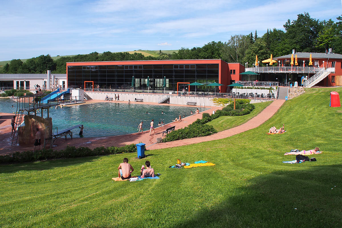
Heringen also offers a nice swimming pool with outdoor area and indoor pool. Info: www.heringen.de/...
Rhäden Near Dankmarshausen, the Rhäden nature reserve is one of the most important bird resting areas in Thuringia and Hesse, which can be explored on a circular hike with birdwatching stations. Info: www.nabu-wildeck.de
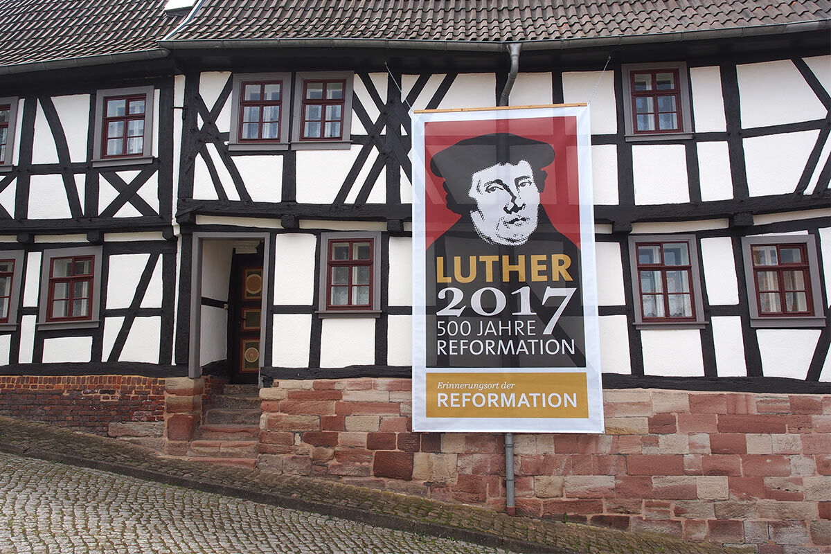
Berka/Werra is a historically interesting station on the old trade route Via Regia with a medieval town center where Luther also left his marks. Info: www.berkawerra.de
Oblíbené prohlídky v okolí
- 4.0
Thuringian long-distance cycle routes - 02 - Werra Valley Cycle Path - Stage 4: Bad Salzungen → Eisenach
středníCyklistika na velkou vzdálenost 77.0 km Premium route P18 Tannenburg
středníTuristika 8.34 kmCircular hike - Frauensee - Thuringian Forest
světloTuristika 8.90 kmHike - The freedom of the storks - Thuringia/Hesse
světloTuristika 16.8 kmWerra Wasser Wandern 4: Bad Salzungen - Vacha
středníKajak / Kánoe 21.5 kmCircular hike to Krayenburg
středníTuristika 15.0 kmWerra Burgen Steig X5 Dietlas to Gerstungen
heavyTuristika 33.0 kmLong hike around Mäuseberg
světloTuristika 15.1 kmCircular hike Dietlas Vacha Dorndorf Dietlas
středníTuristika 16.2 kmWerra-Burgen-Steig-X5-1
středníTuristika 19.9 km
Pěší turistika a stopování


Nenechte si ujít nabídky a inspiraci pro vaši příští dovolenou
Vaše e-mailová adresa byl přidán do poštovního seznamu.