






Sighignola Path

Úroveň obtížnosti: T5
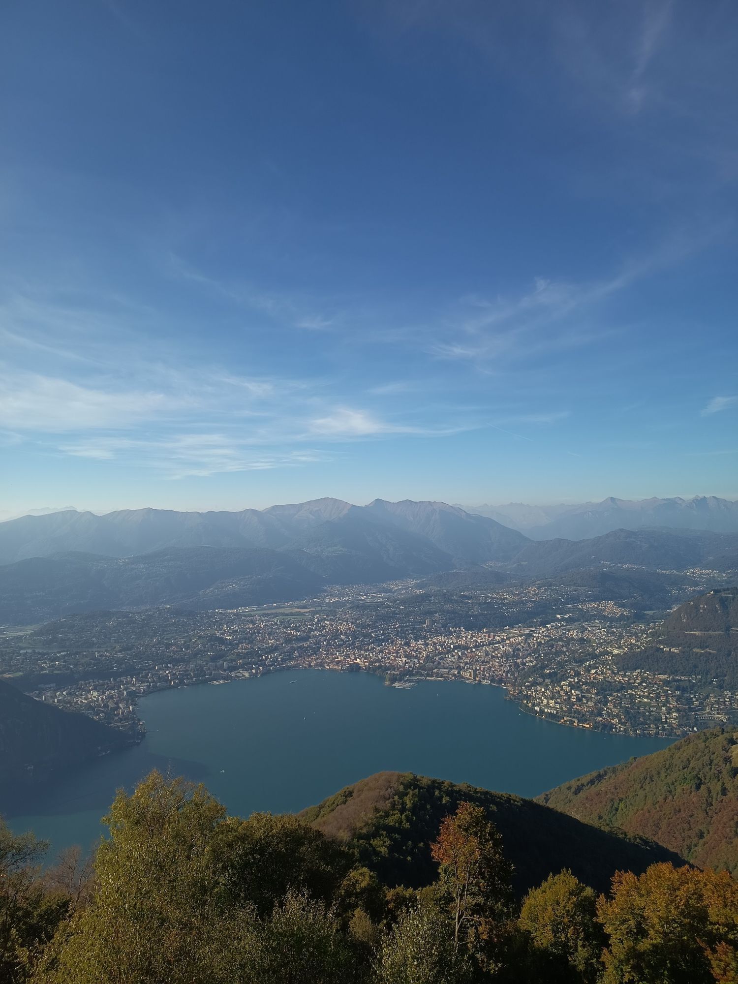
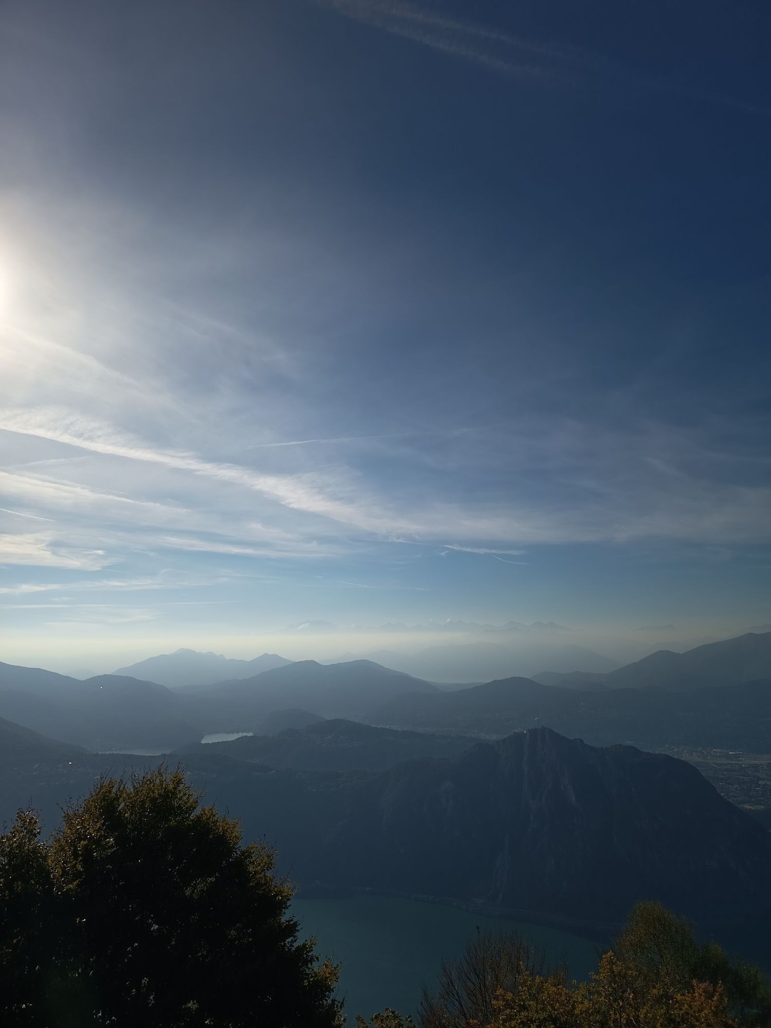
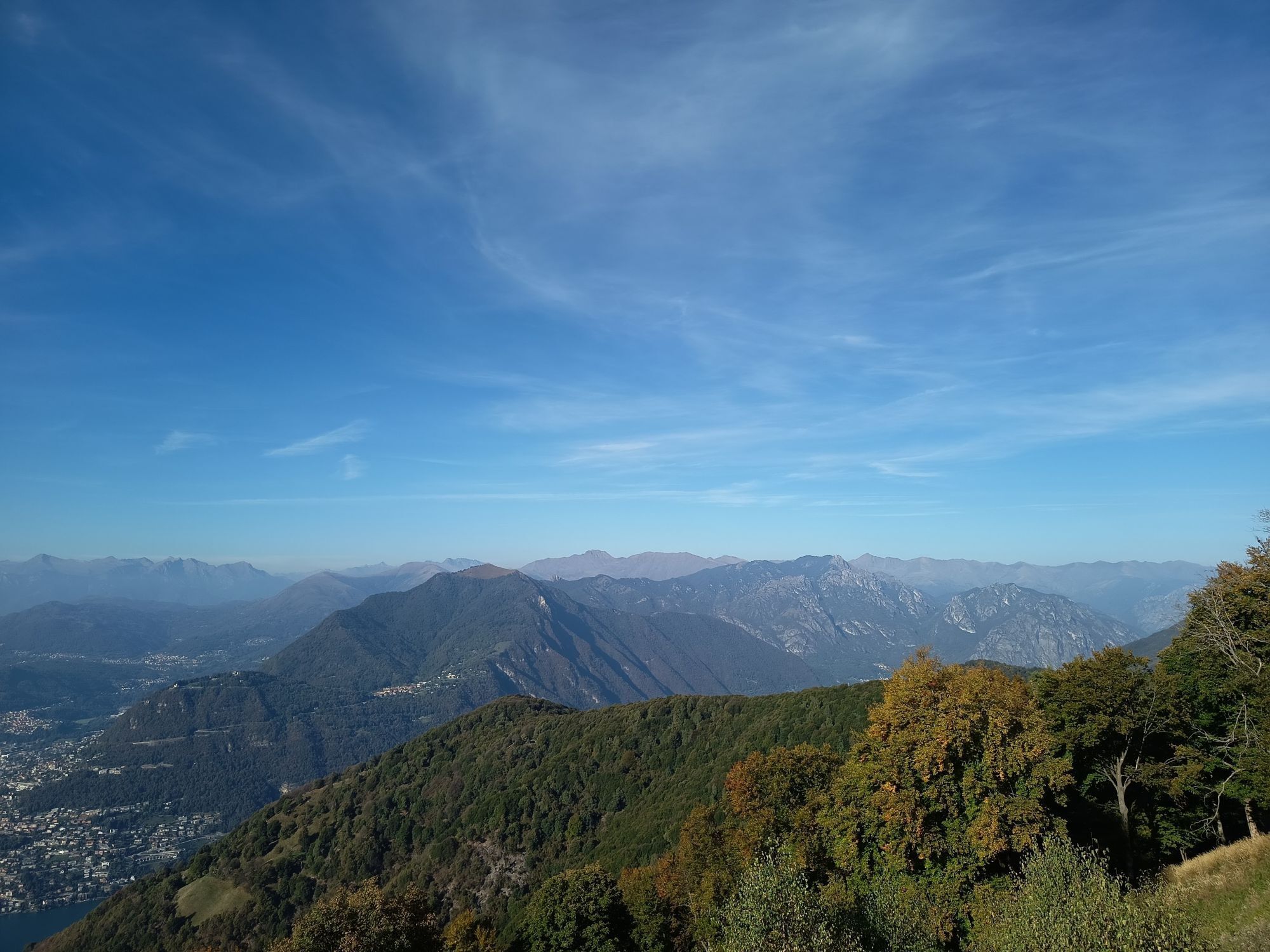
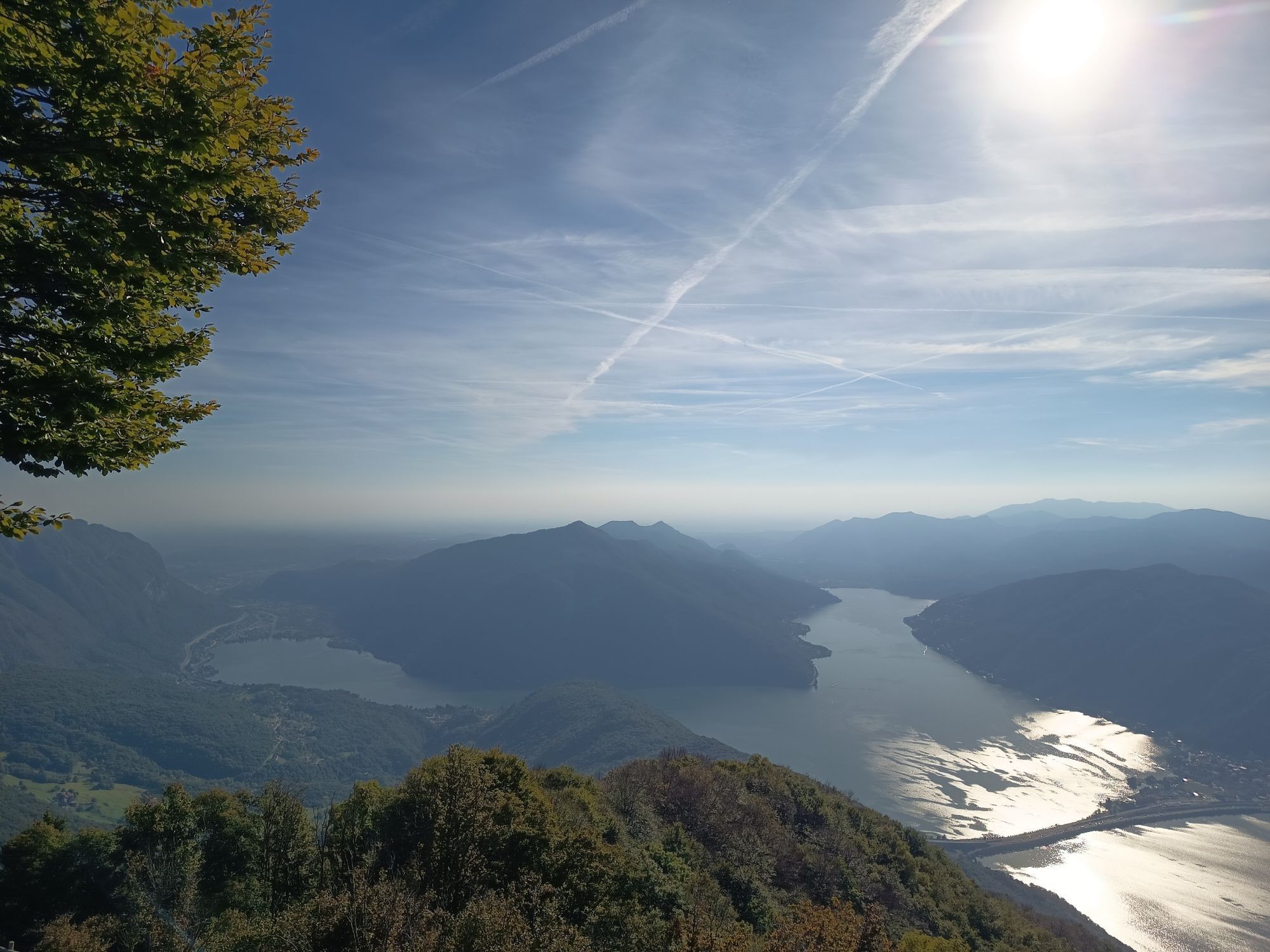
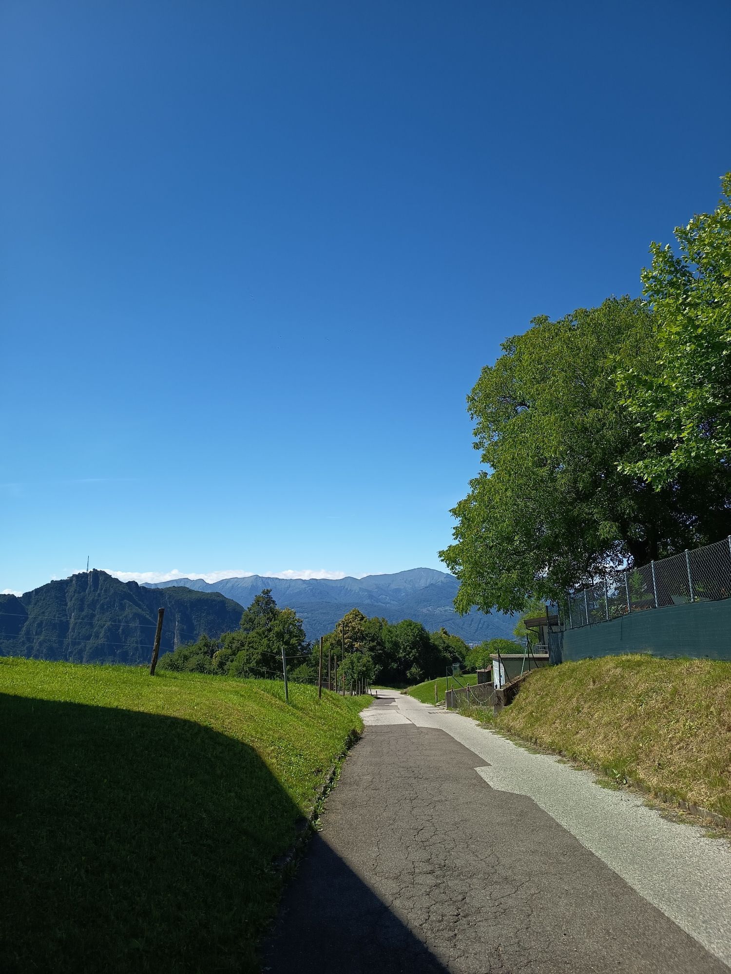
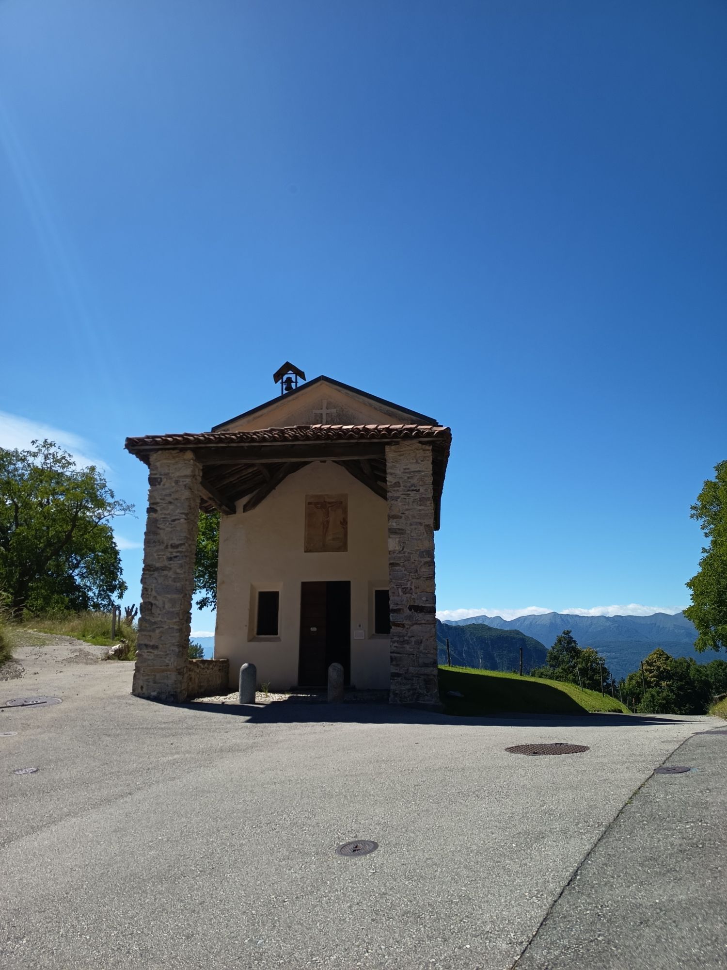
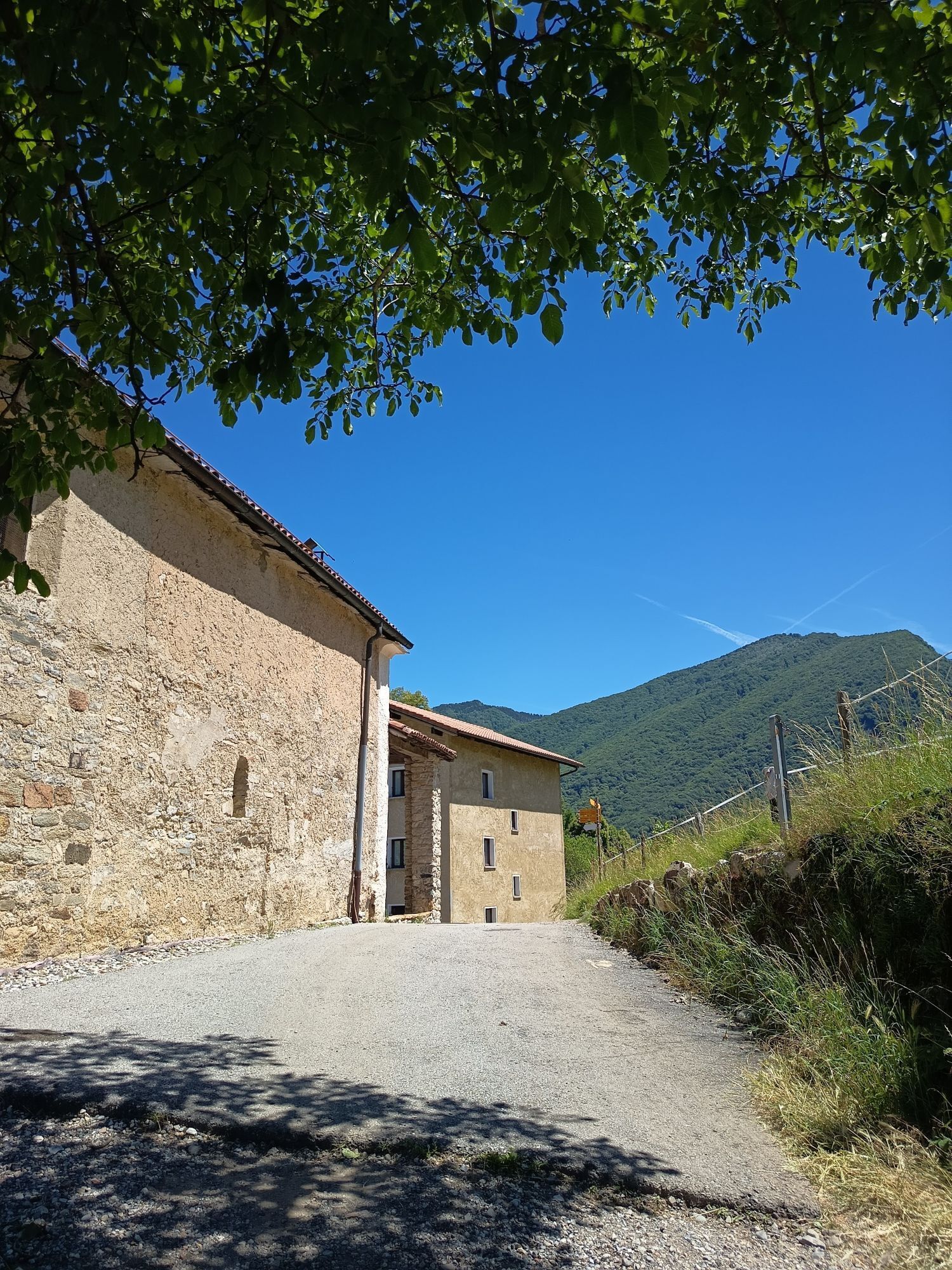
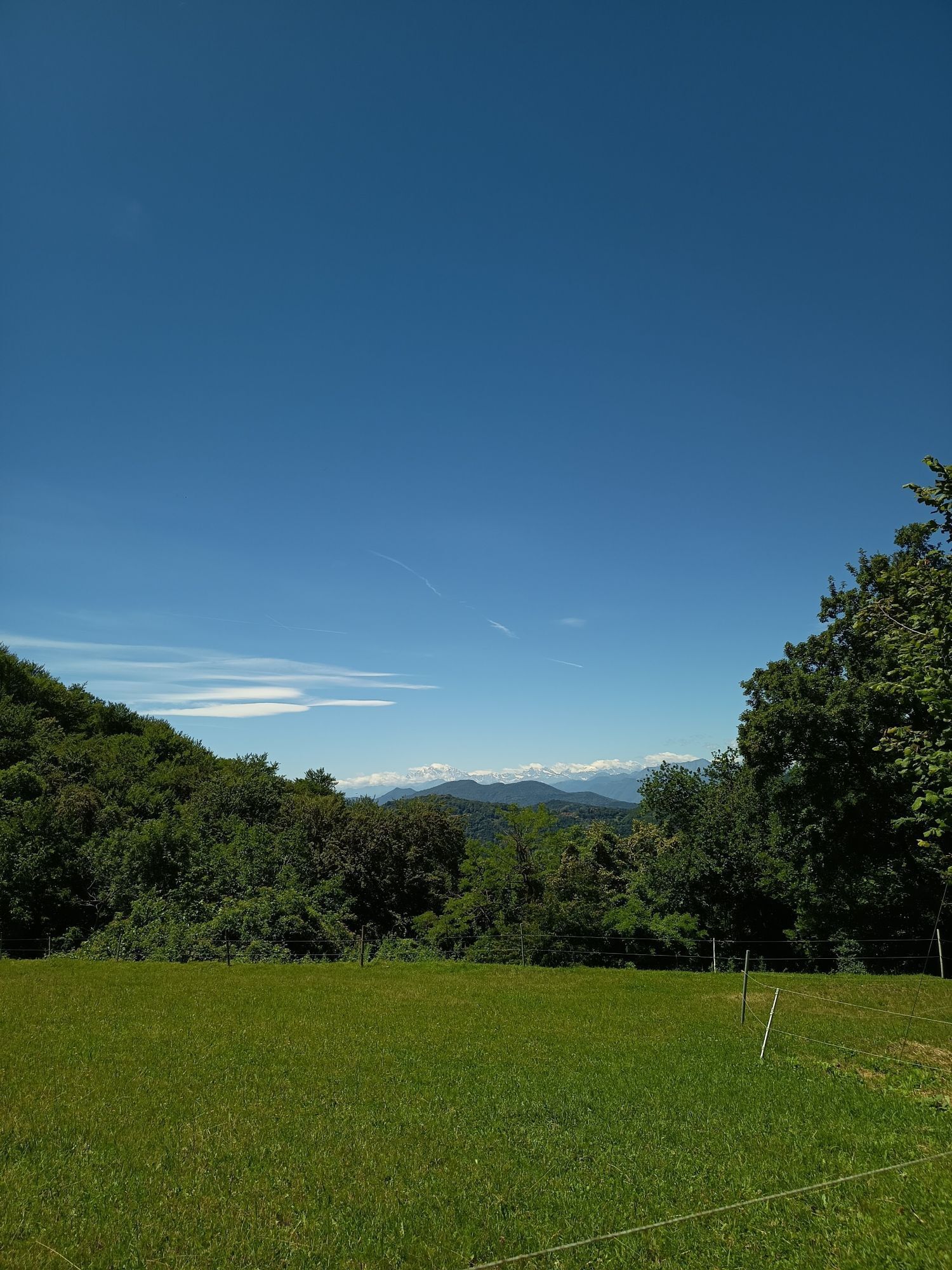
After leaving the village centre, take the old mule track along Strada dala Cruseta, which leads to the Oratory of San Vitale. From here, follow the trail towards Alpe di Pugerna (estimated time: 1h10...
The route then enters a charming hornbeam forest: the trail descends slightly before climbing again to a junction, where the direction Alpe di Pugerna / Sighignola should be followed. In this section, the trail becomes narrower and steeper: it is important to pay close attention to the trail markings along the route.
Upon reaching Alpe di Pugerna, a flat clearing open, ideal for a sunny break. From here, continue along the trail towards Sighignola (estimated time: 1h). The route continues through an open beech forest, with a steady ascent and particularly steep final metres before the summit.
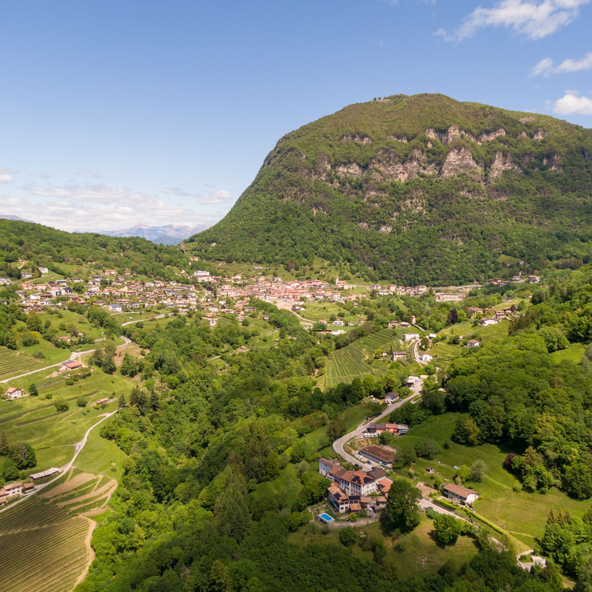
Reaching the summit of Sighignola rewards hikers with a spectacular 180-degree panoramic view over the Mendrisiotto region, with views of Monte Generoso and Monte San Giorgio. From the panoramic terrace, descend towards the valley by following the asphalt road for a short distance in the direction of Lanzo (Italy).
Then take the official trail descending towards Arogno (estimated time: 1h30 min). The route begins gently and on a wide path but later becomes more demanding and very steep for several hundred metres. After a quieter section leading to Alpe Bovisio, the trail becomes steep again towards Arogno, with some exposed sections that require caution.
The route then continues along a characteristic stone staircase until reaching the cantonal road. From here, continue towards the centre of Arogno, retracing a short section of the outward route back to the Town Hall.


T5
The summit of Sighignola is known as one of the most spectacular panoramic viewpoints in the region: on clear days, the view stretches from the Mendrisiotto area to the Alps, making the ascent especially rewarding.
Webové kamery z prohlídky

Oblíbené prohlídky v okolí
-
4.5
Sentiero del Monte Generoso (SwitzerlandMobility 635)
středníTuristika 9.22 km -
4.5
Lenno - Val Perlana
středníTuristika 11.7 km -
3.0
Bellavista - Monte Generoso
světloTuristika 2.60 km -
5.0
Brè - Sasso Rosso - Monte Boglia - Lugano
heavyTuristika 11.6 km -
5.0
Denti della Vecchia
středníTuristika 14.7 km -
5.0
Vetta Monte Generoso - Roncapiano - Muggio
středníTuristika 6.01 km -
5.0
Novaggio
světloTuristika 8.10 km -
5.0
Vom Restaurant auf den Gipfel (Kulm)
světloTuristika 0.58 km -
Scudellate - Erbonne - Alpe Orimento
středníTuristika 3.58 km -
5.0
Morcote - San Salvatore
středníTuristika 9.95 km
Pěší turistika a stopování


Nenechte si ujít nabídky a inspiraci pro vaši příští dovolenou
Vaše e-mailová adresa byl přidán do poštovního seznamu.





