






Mendrisiotto Parks Route

The route starts in the Sottopenz area near the FFS Chiasso railway station. Following the official signage, the ascent towards Pedrinate begins. Continue in the direction of Seseglio (South geographic...
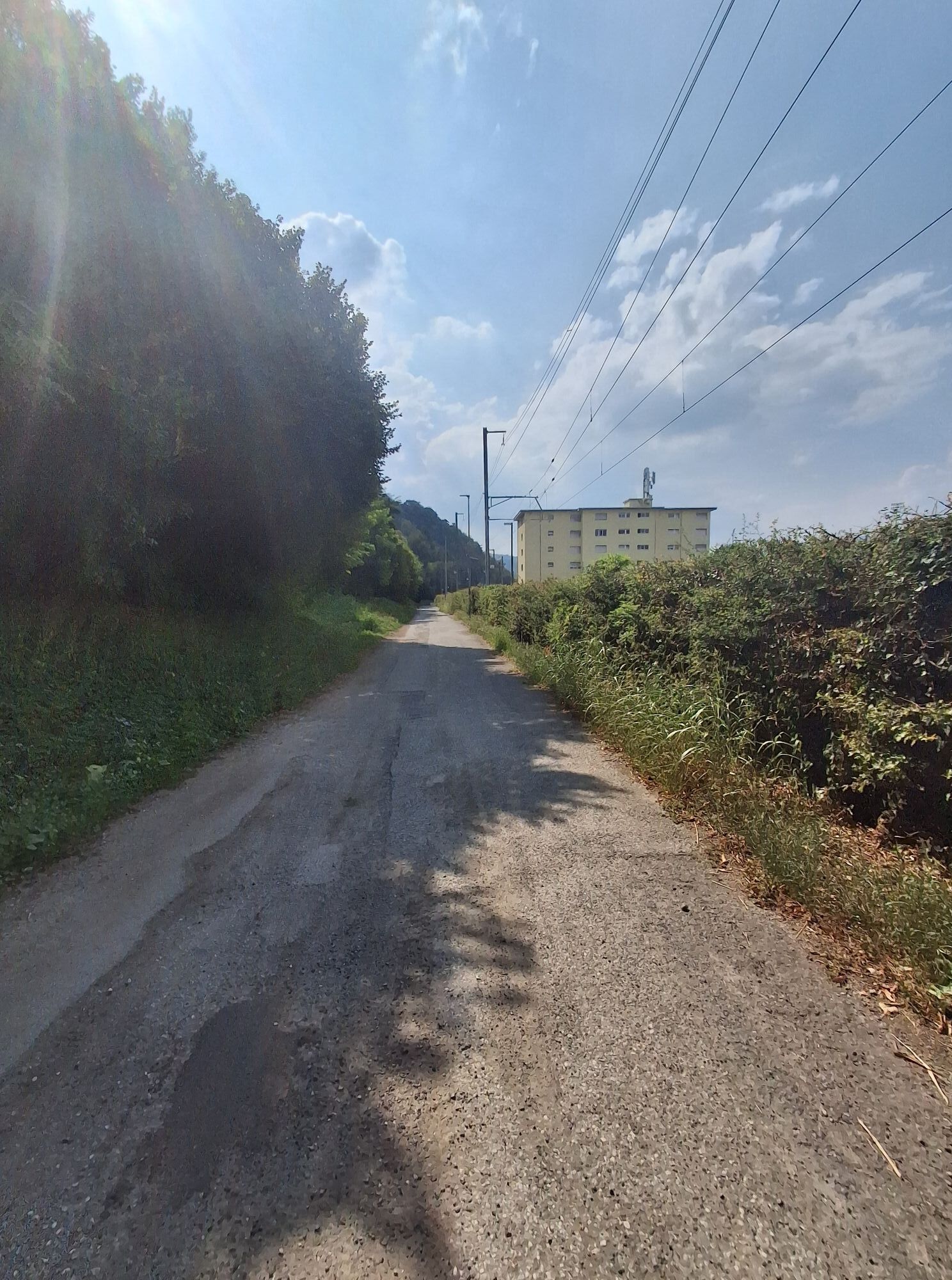
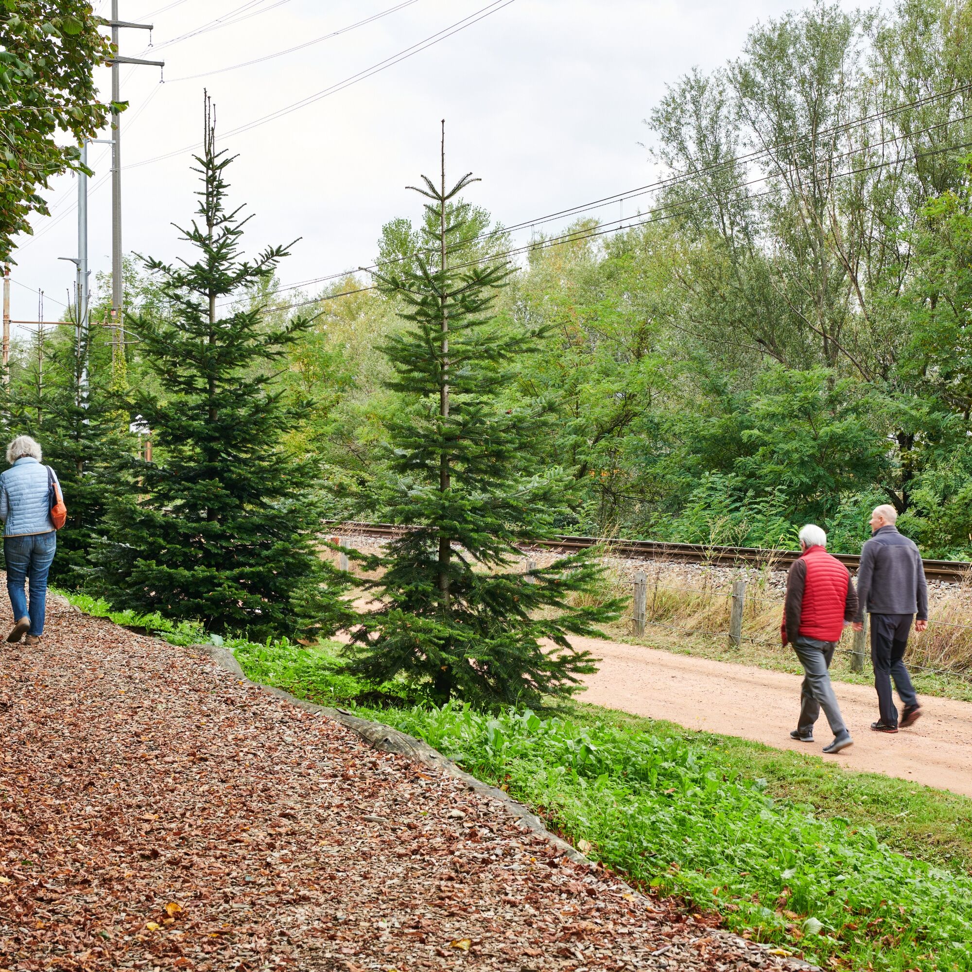
The route starts in the Sottopenz area near the FFS Chiasso railway station. Following the official signage, the ascent towards Pedrinate begins. Continue in the direction of Seseglio (South geographic point road). Pass by the “Sosta dal Fungiatt” where you can stop for a picnic.
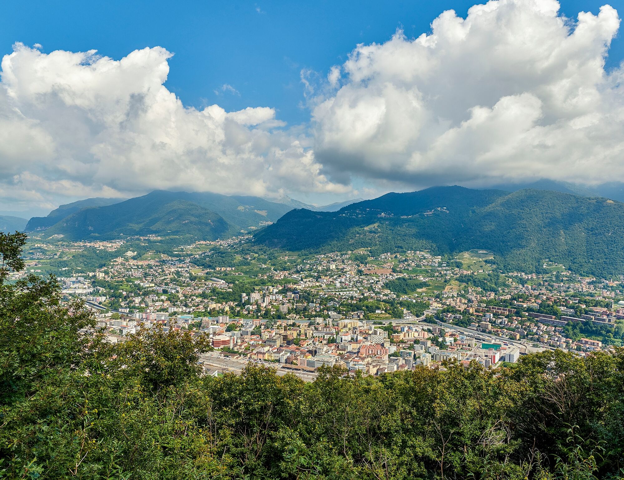
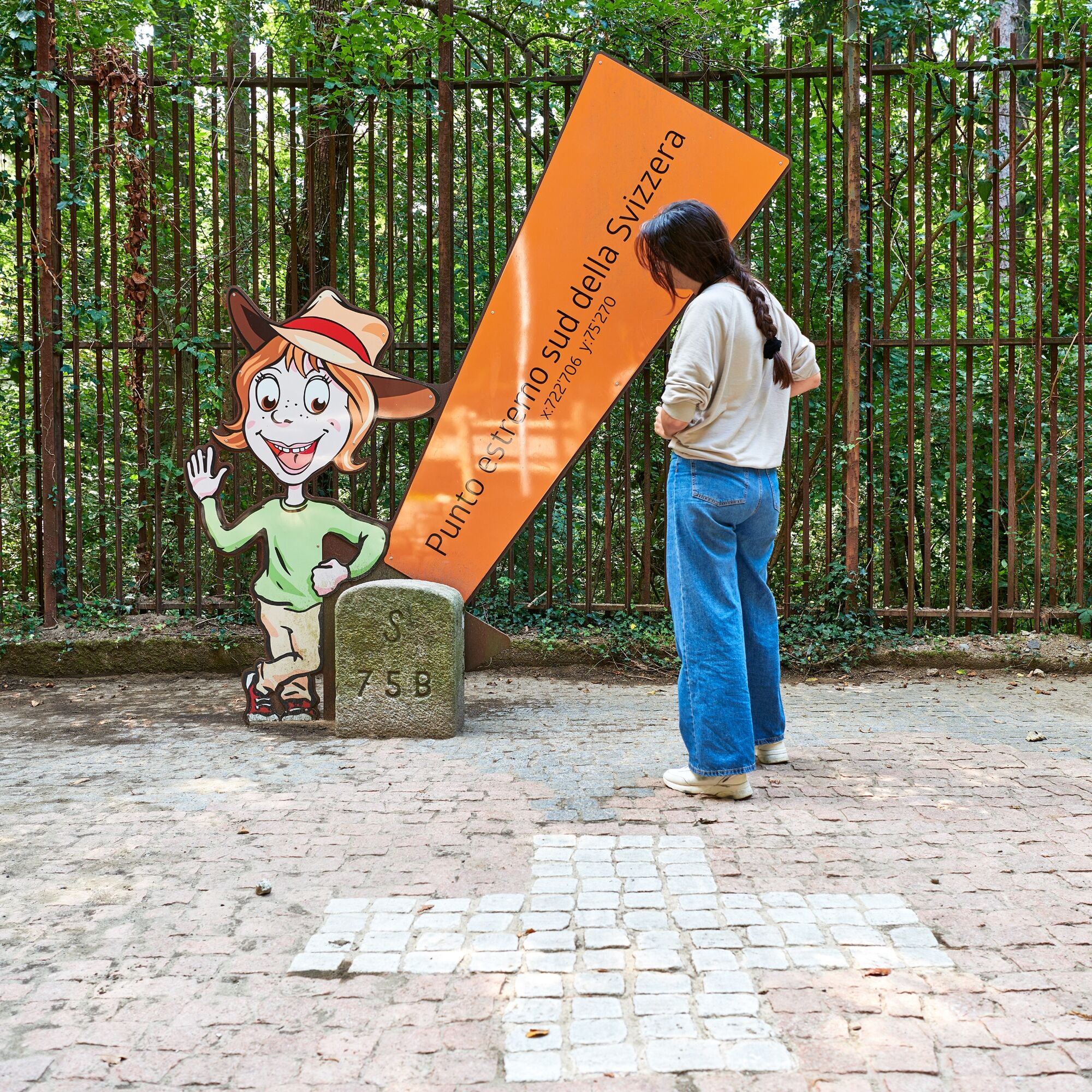
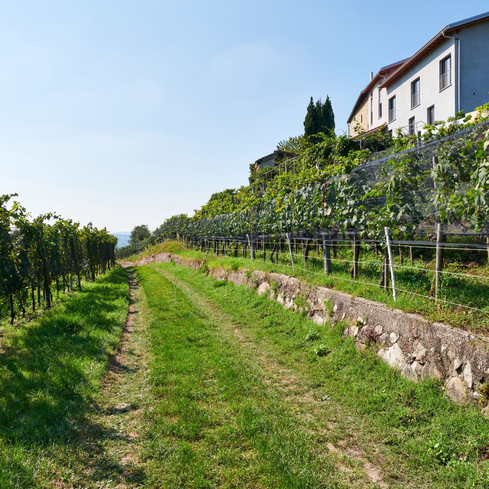
From here, continuing for a few meters you can reach the Belvedere Terrace overlooking Lower Mendrisiotto. Resuming the official path, you reach the southernmost point of Switzerland, inside Penz Park. Following the Italian-Swiss border along the “Sentiero delle Guardie” (Guard Path), you reach the gentle hills of vineyards.
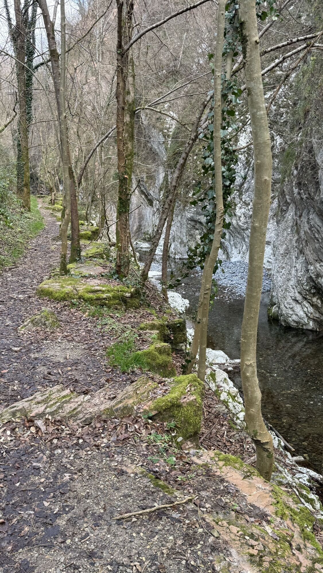
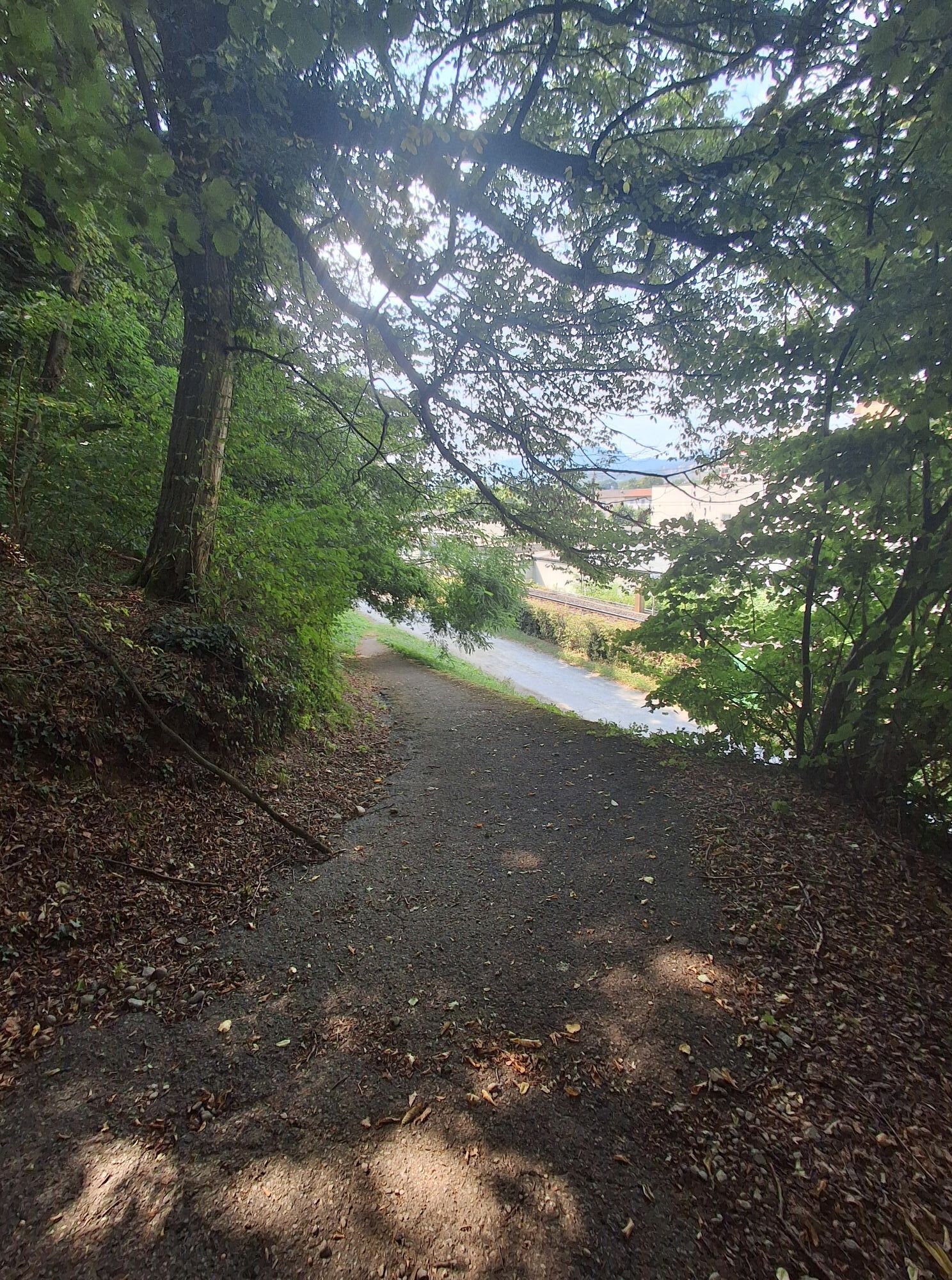
After about a 10-minute walk, you arrive at the Pedrinate Customs. Entering a steep path into the woods, you reach the agricultural countryside of Seseglio; here follow the official signage towards Novazzano. Following the Faloppia River, you reach the entrance to the Motta Valley Park. Walking along a comfortable path that borders the Roncaglia stream, you arrive at the Daniello Mill.
Continuing on a dirt path towards Mendrisio, thanks to a practical underpass you cross the highway and railway, and continuing on the cantonal road, the ascent towards Colle degli Ulivi starts. Continuing on an old mule track, you reach the Corteglia locality. After passing the charming village, you continue on a secondary road.
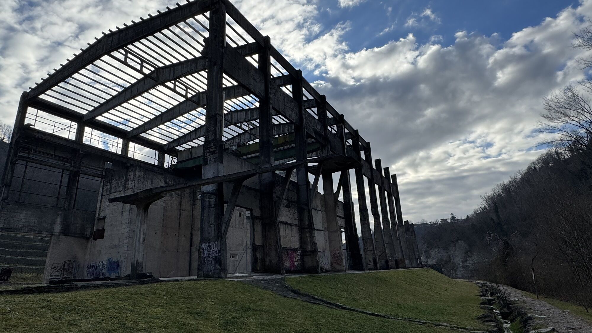
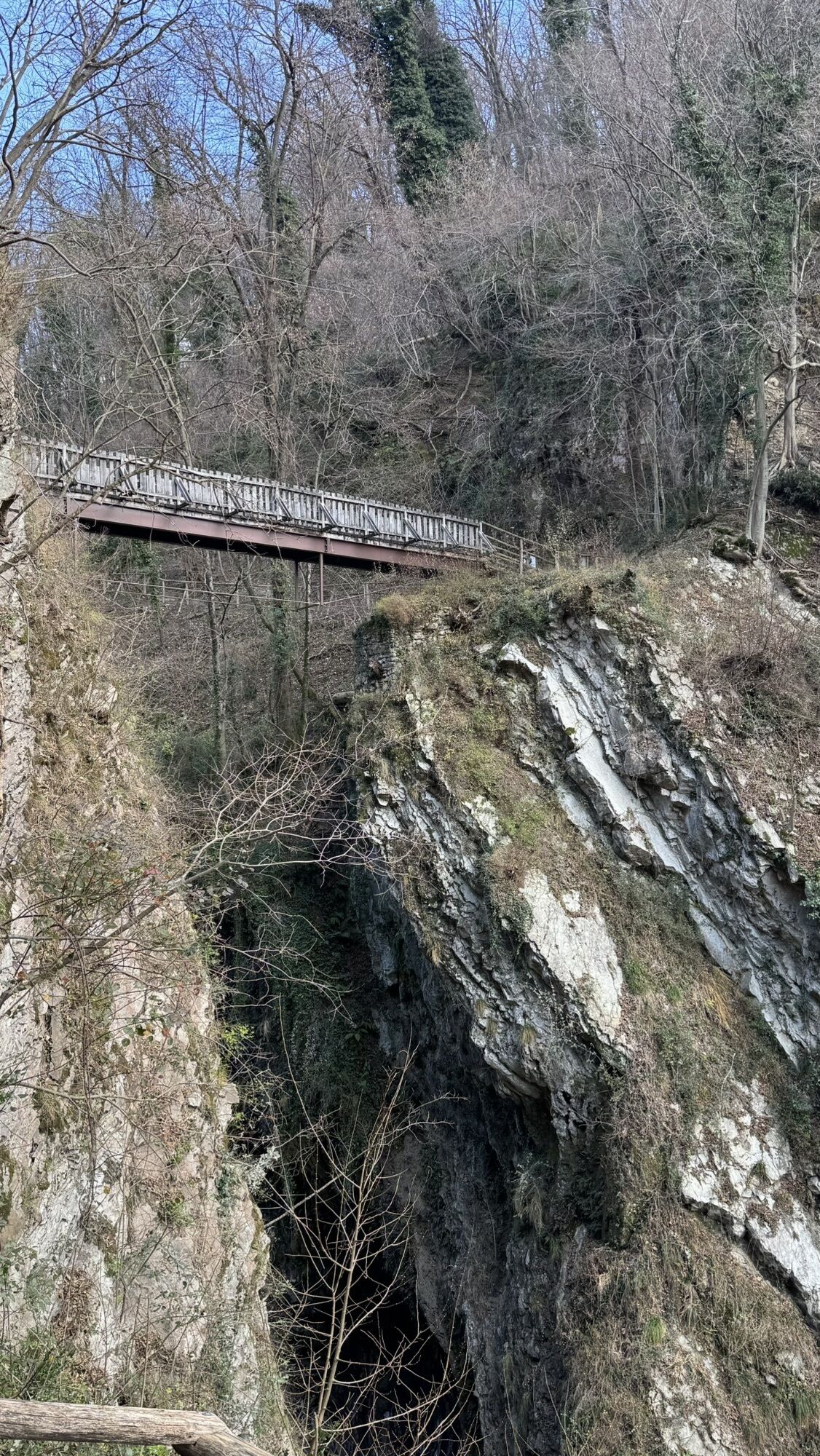
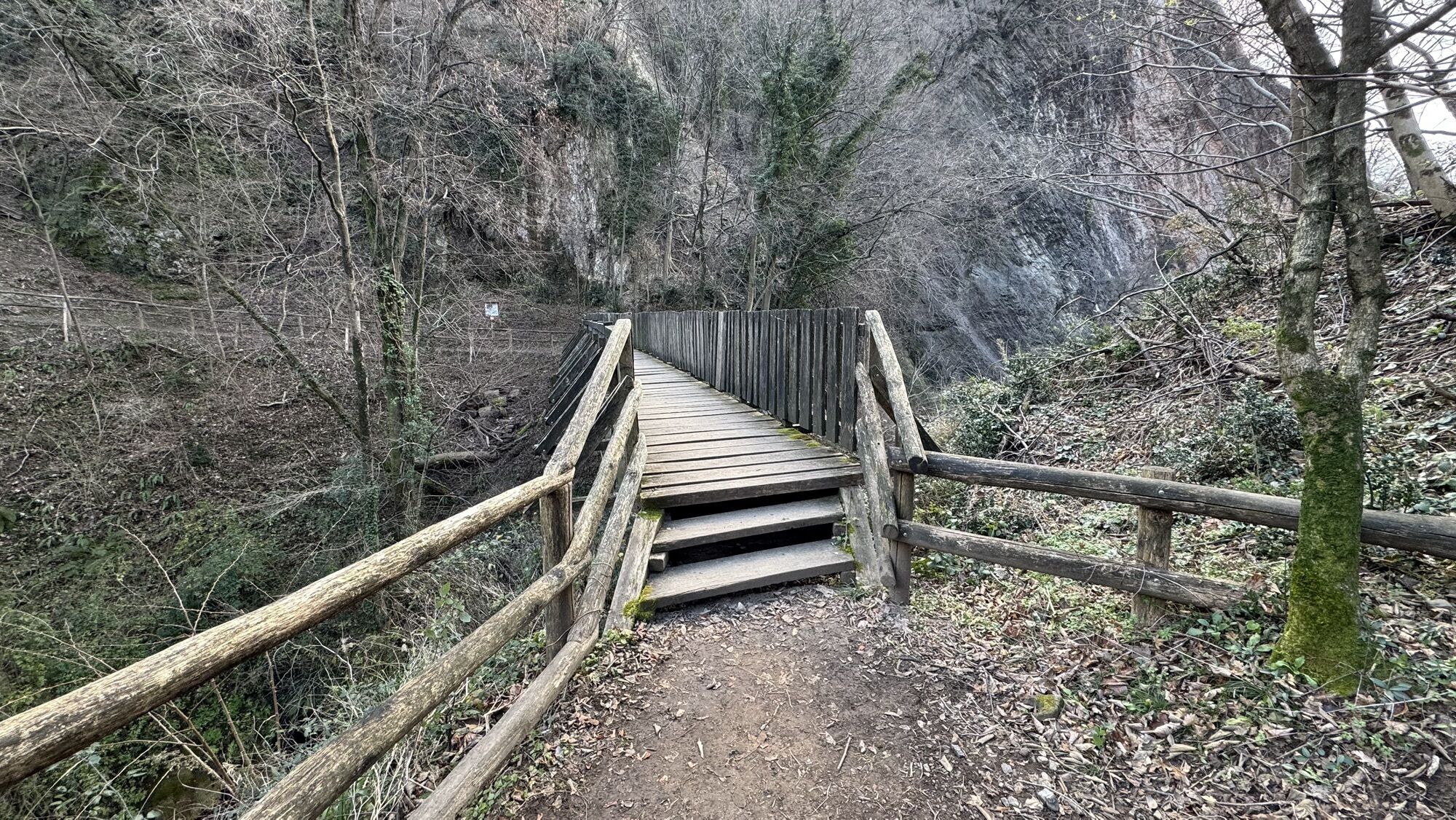
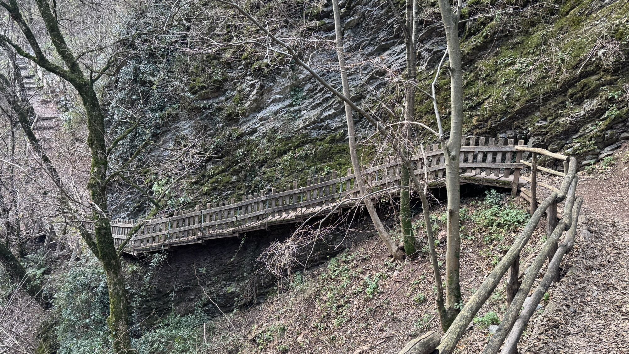
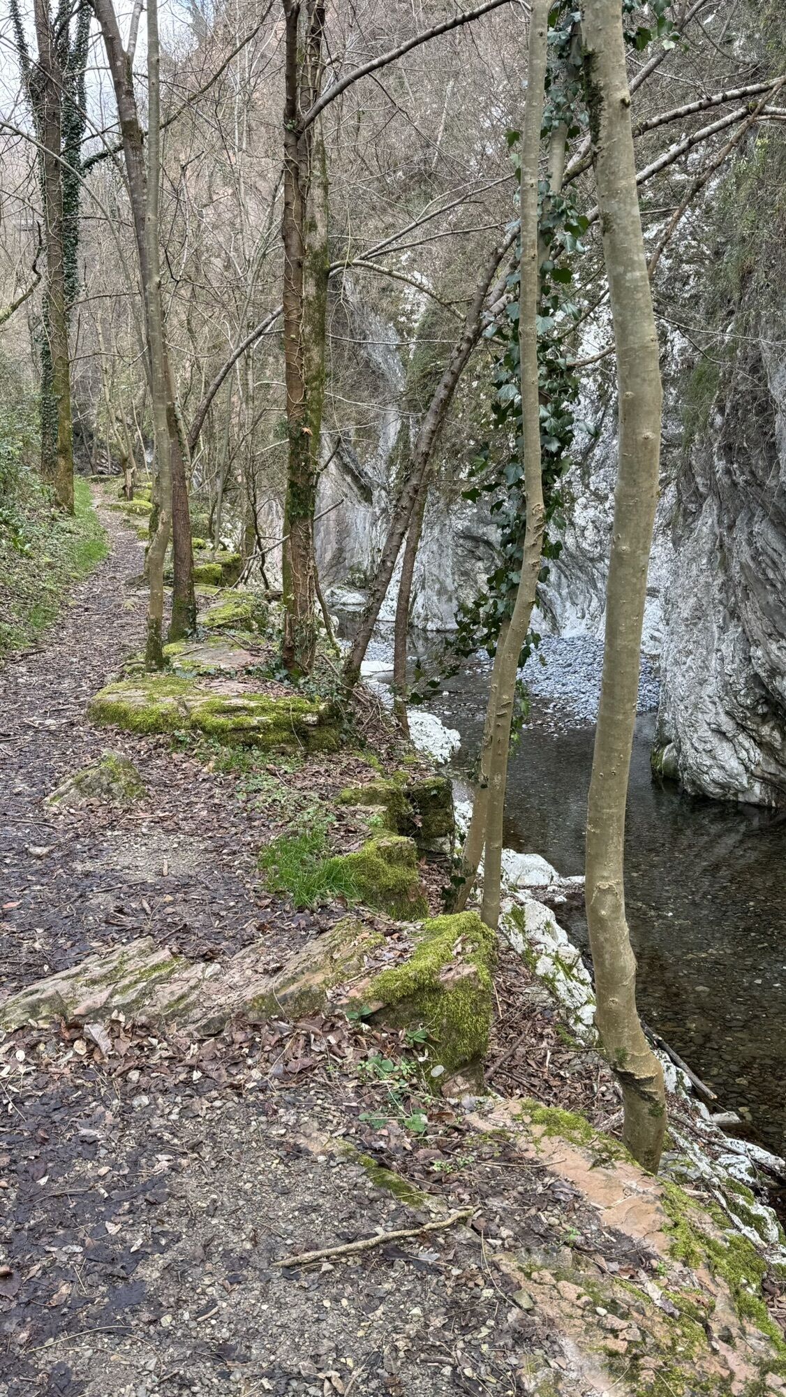
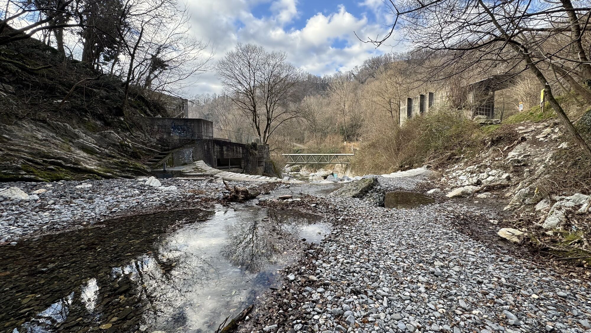
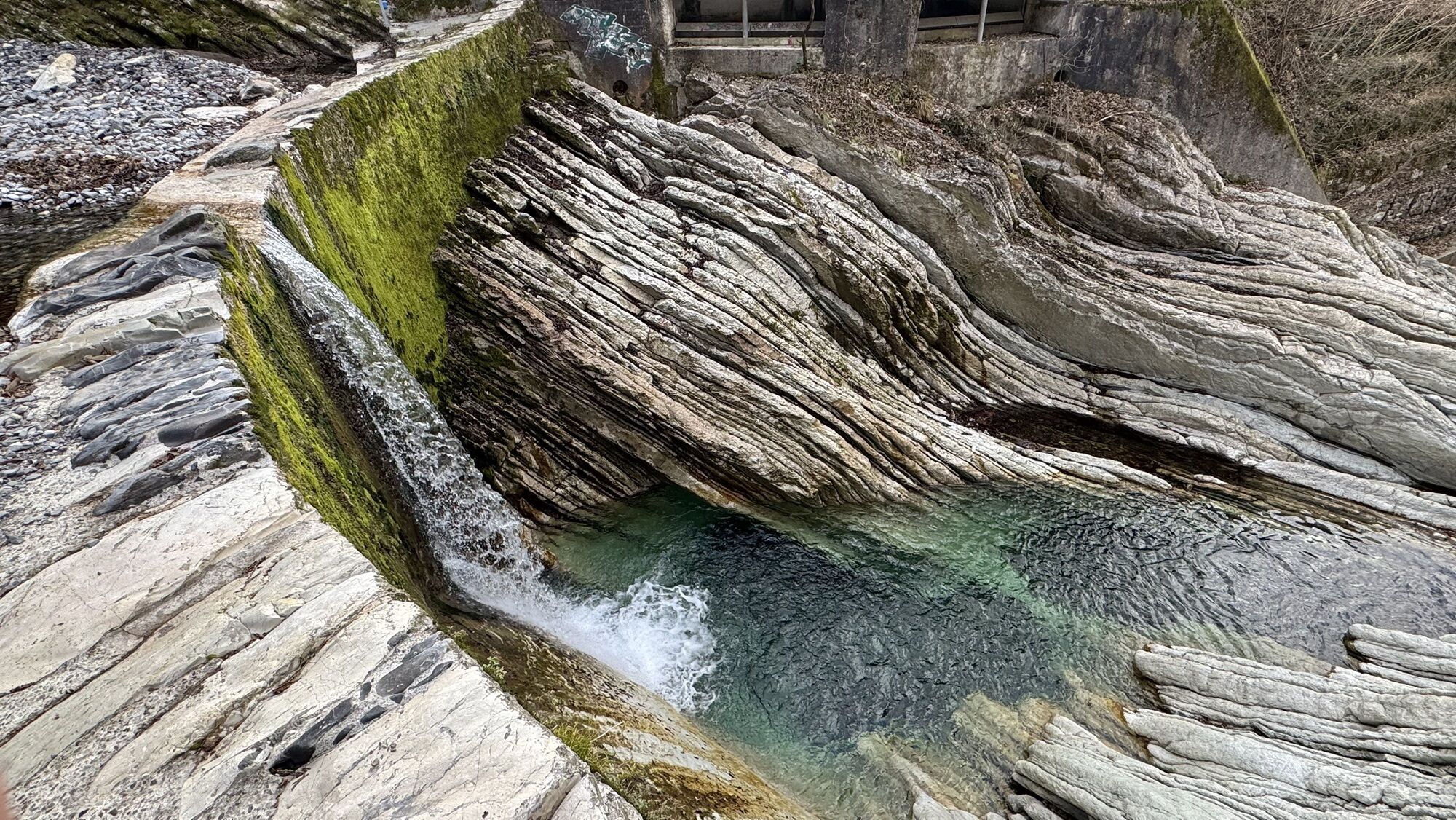
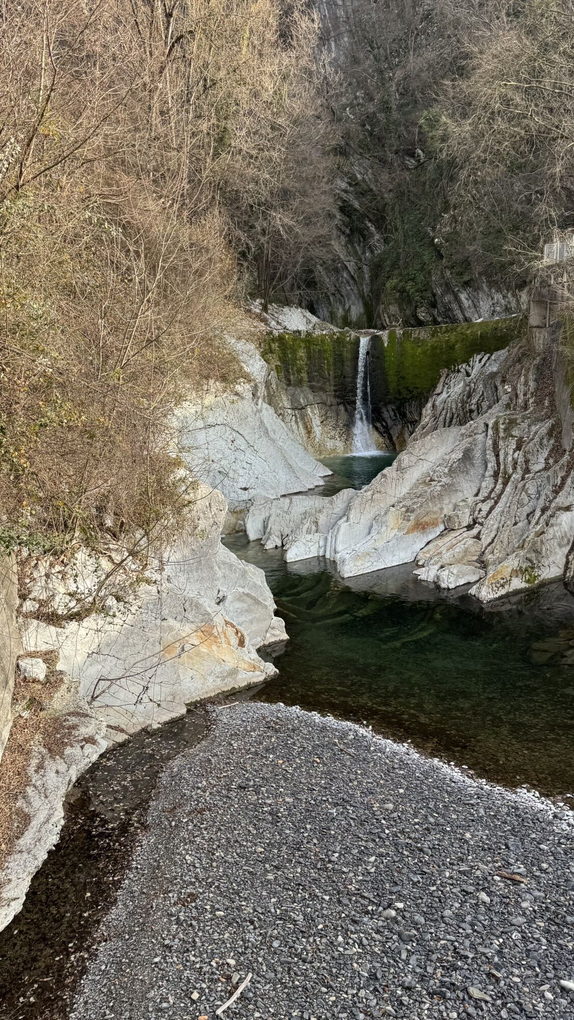
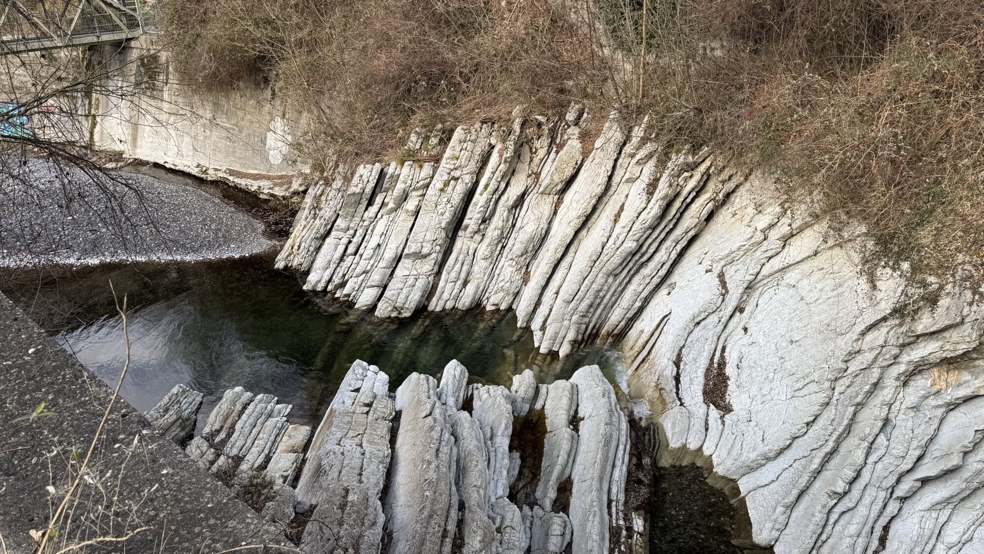
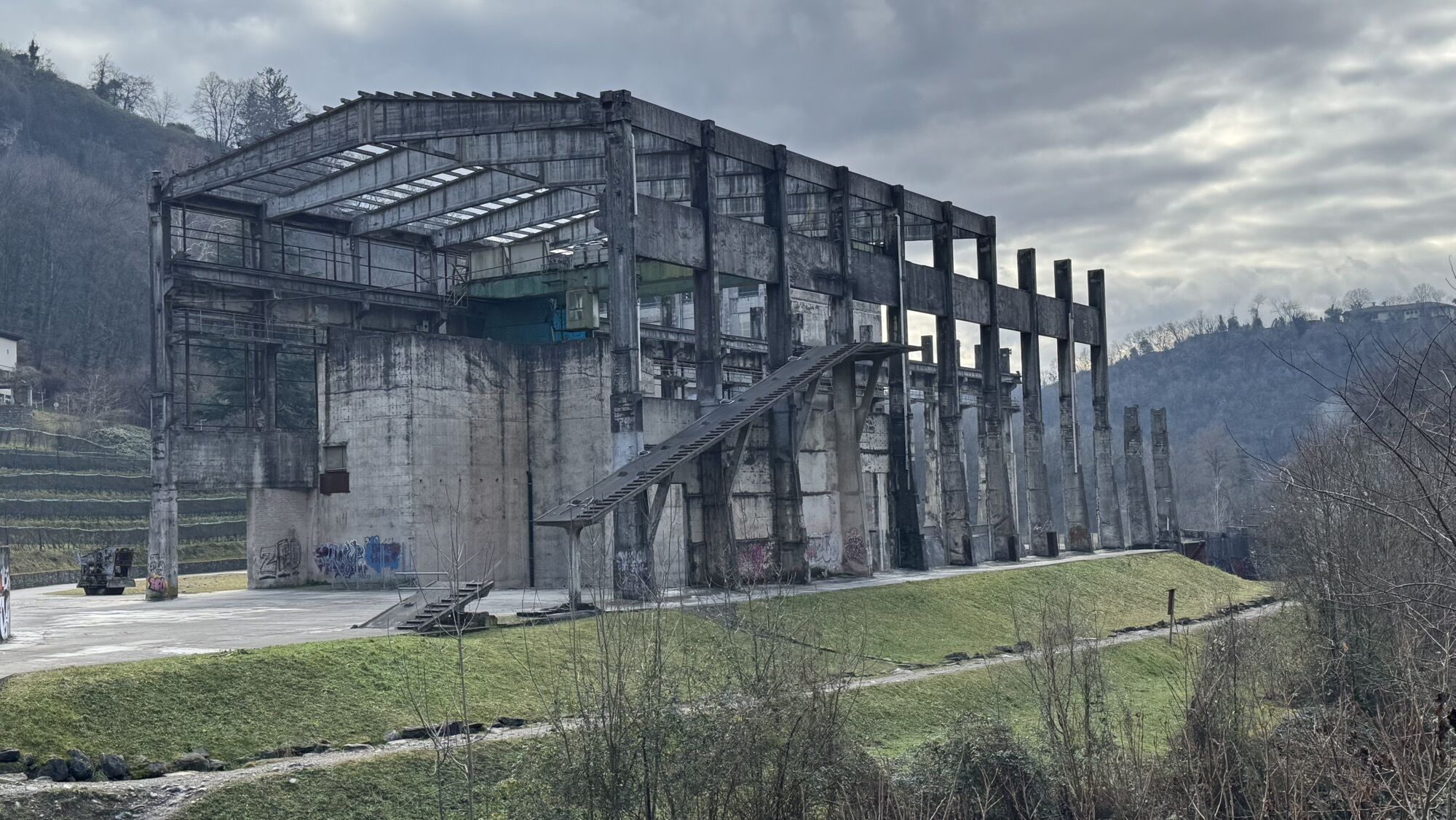
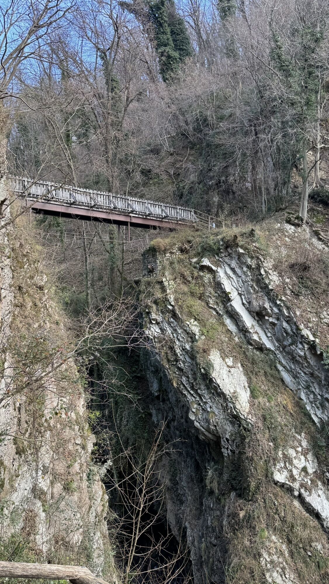
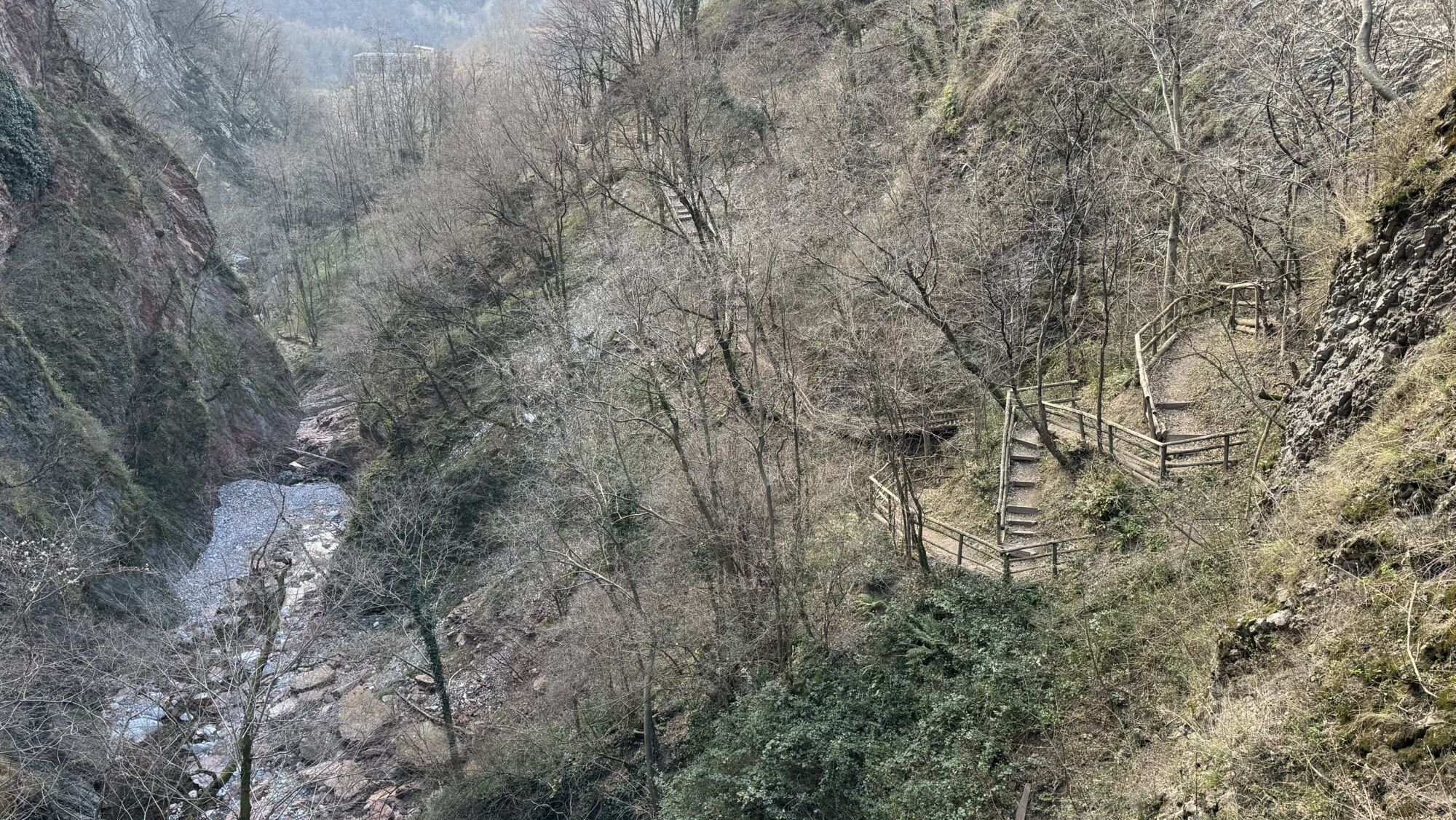
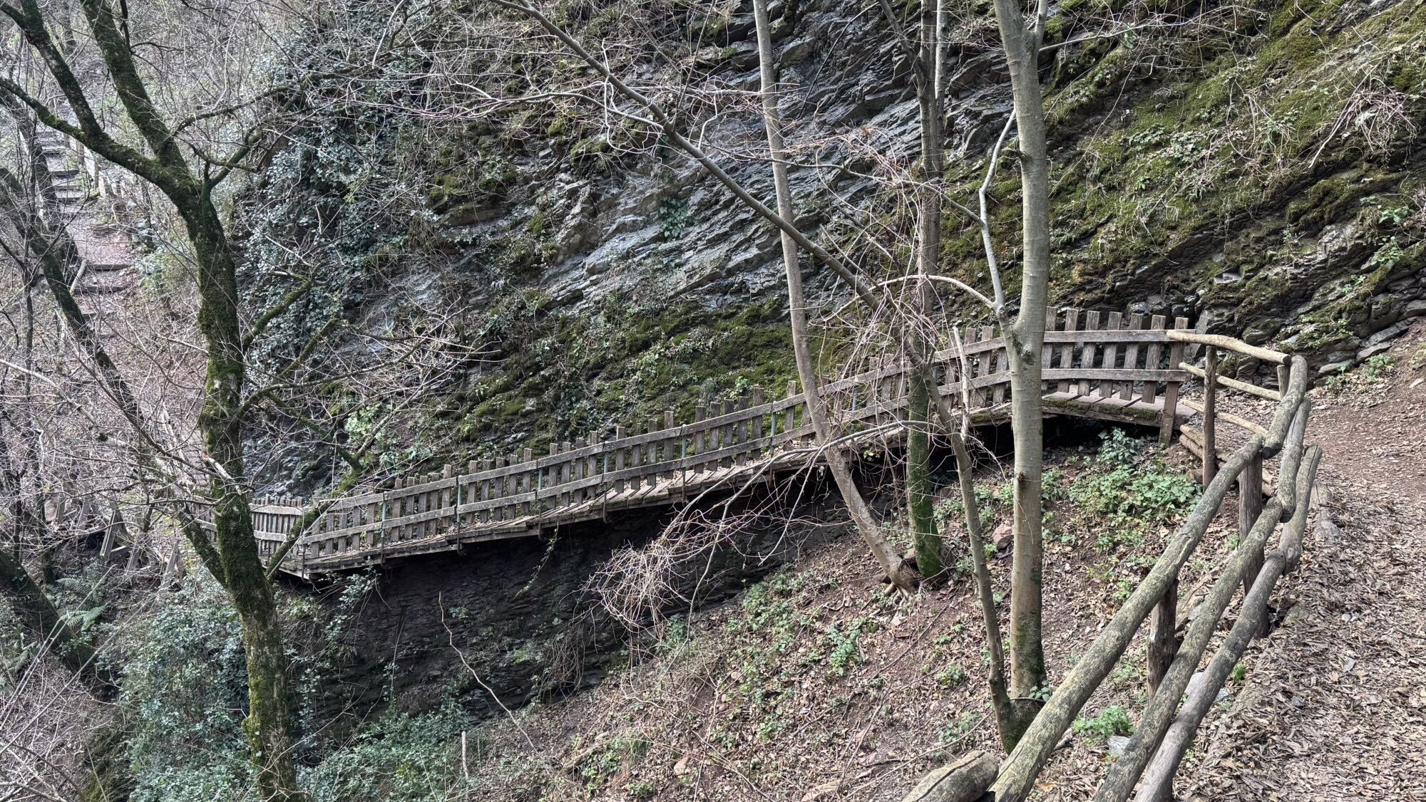
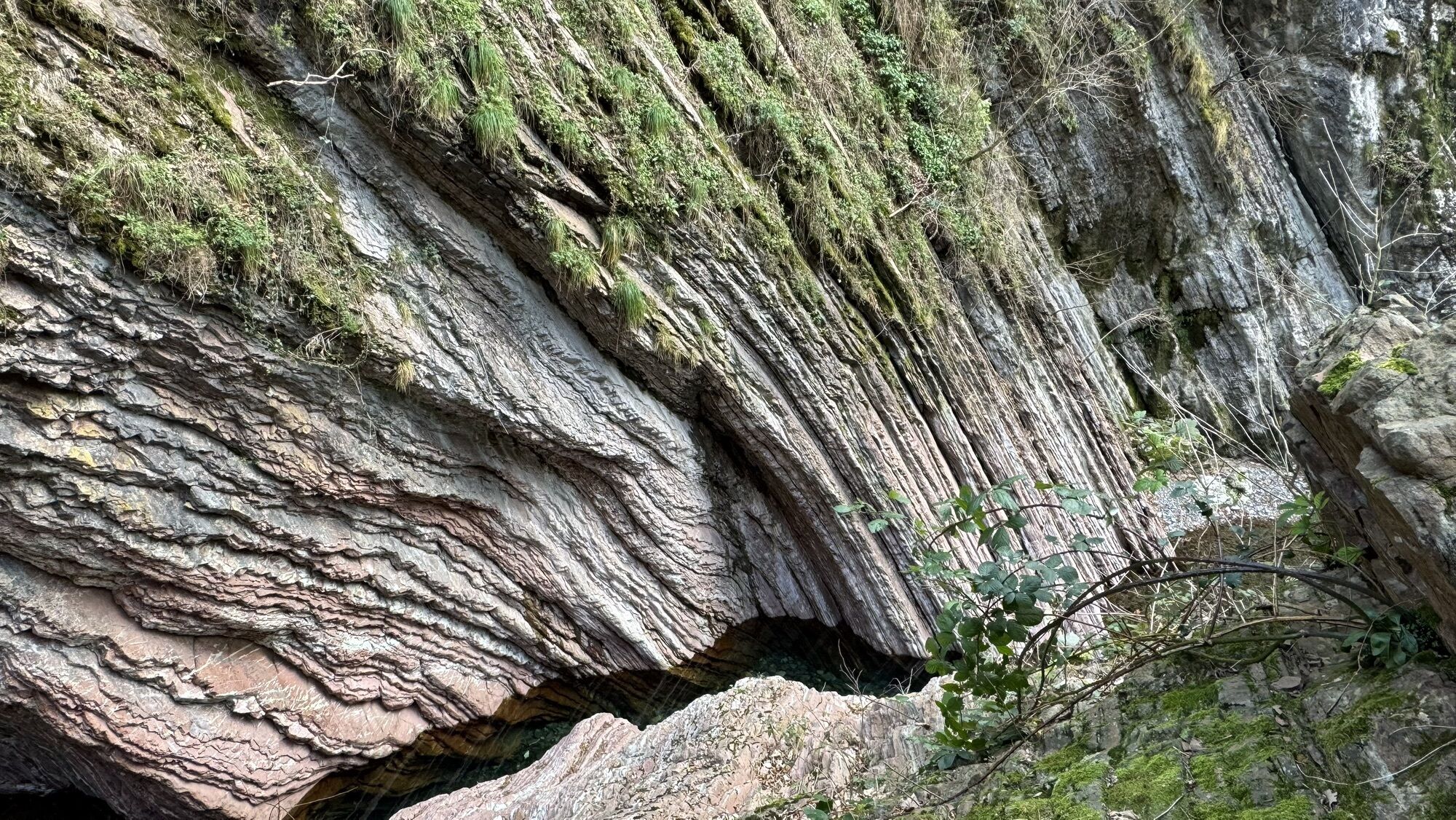
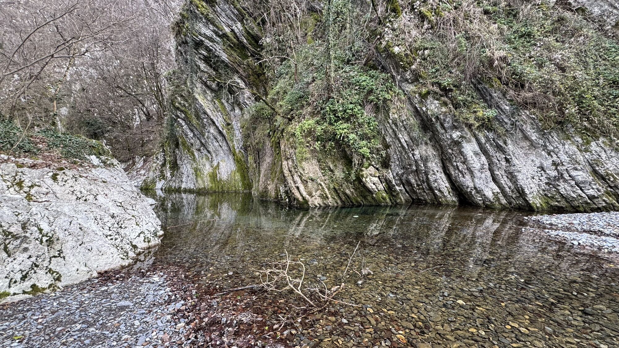
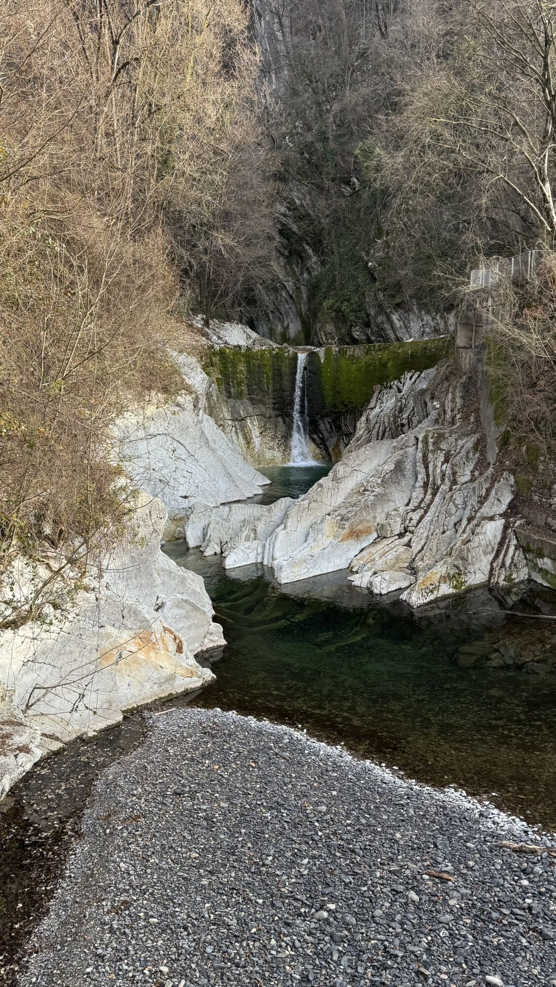
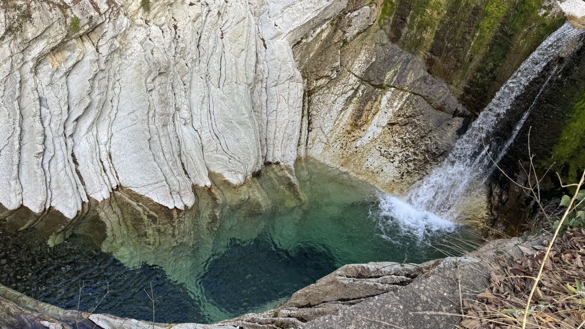
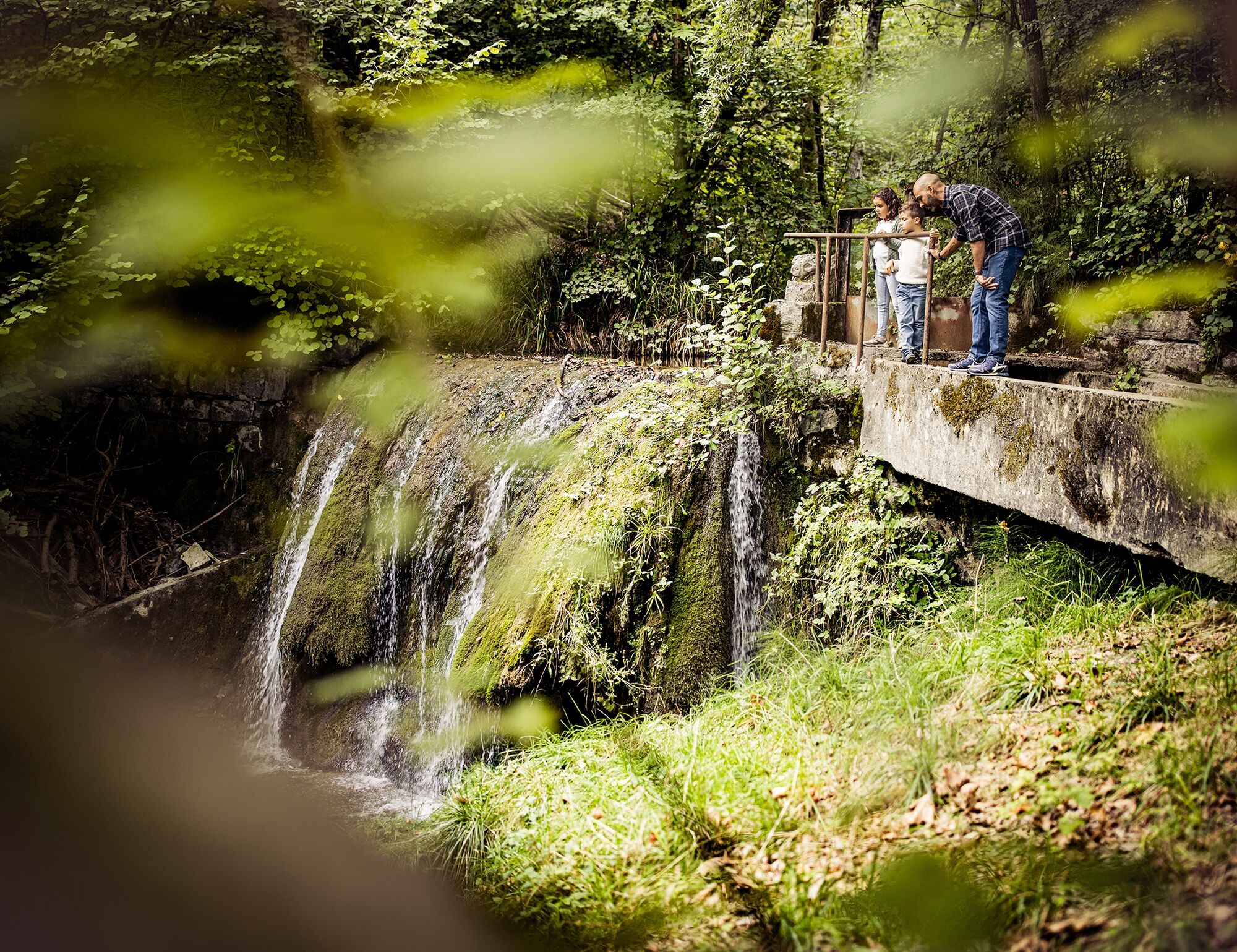
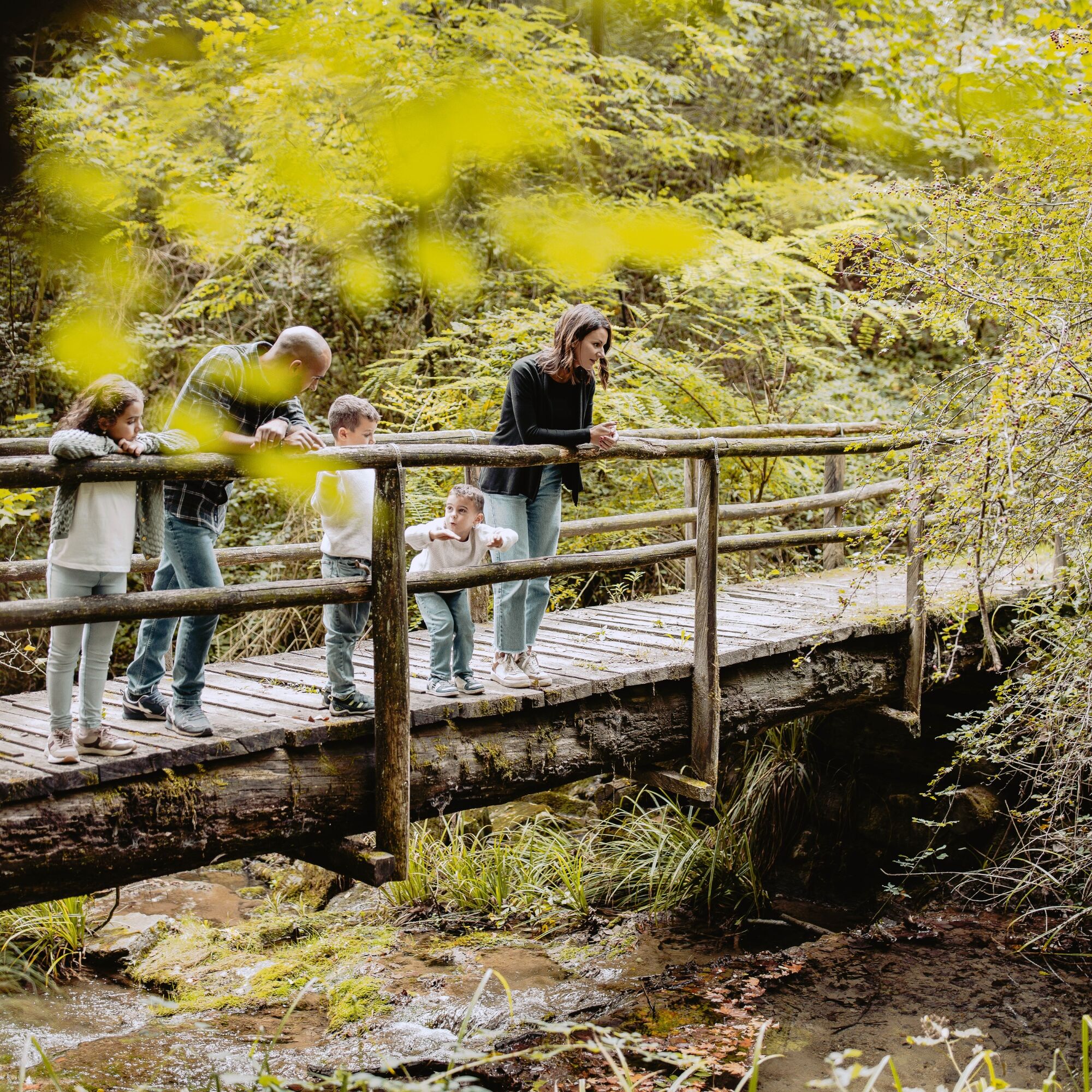
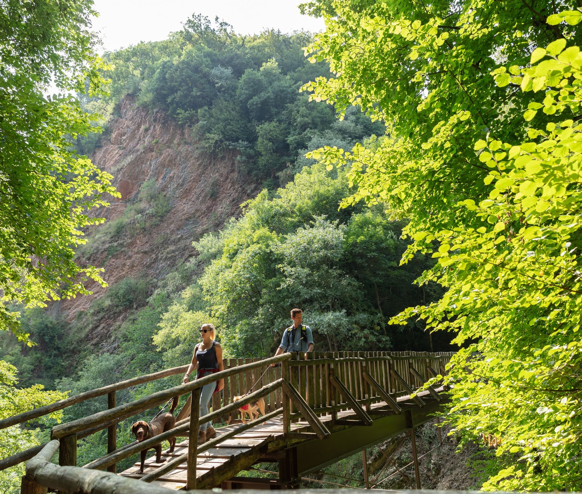
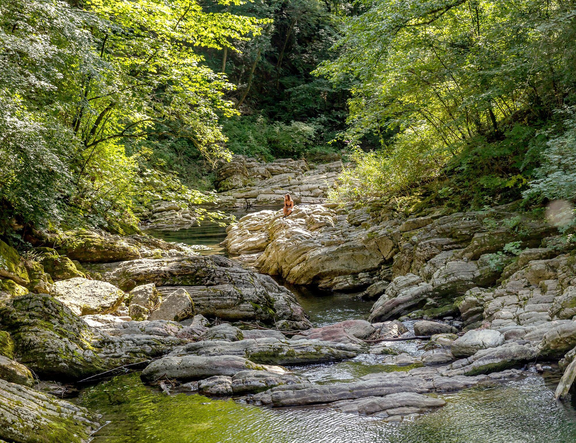
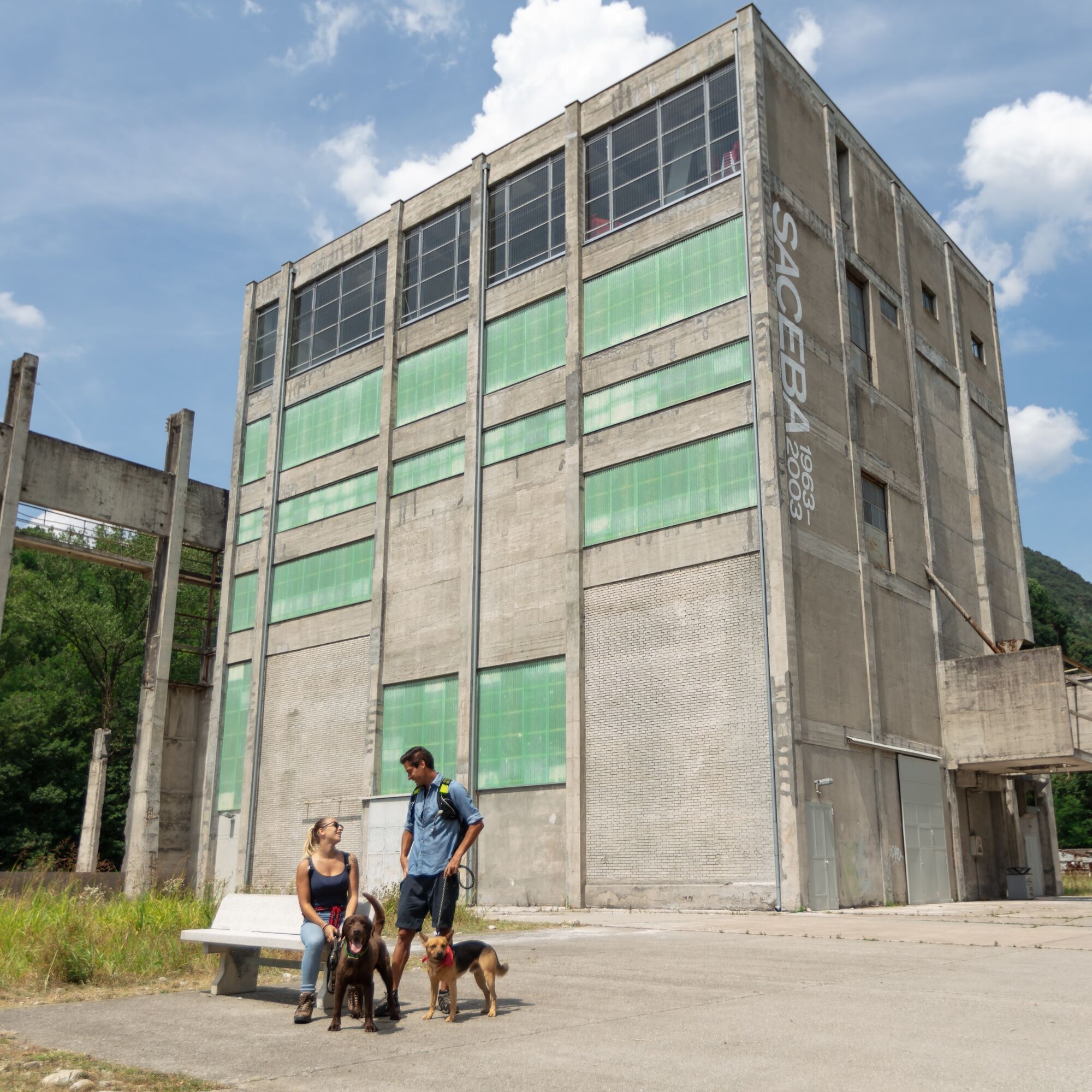
You pass the Villa Turconi farm in Loverciano (Castel San Pietro) and continue towards the Breggia Gorge Park. Entering the Park, a geopark of exceptional interest mainly for its geological and paleontological heritage. Going down the path, you reach the Punt da Canaa, the “Witches’ Meadow,” and a little further ahead the Farügin Bridge (or Devil’s Bridge). At the end of the descent, attention naturally falls on the impressive former Saceba cement factory.
Continuing along the path bordering the river, it is worth making a small detour to the Ghitello Mill. Our route continues with official signage towards Balerna.


Ano
Ano
No special equipment.
Crossing of a cantonal road in some parts of the route.
To enjoy the route, we recommend purchasing the official maps from the Federal Office of Topography Swisstopo. Furthermore, the website map.geo.admin.ch offers constantly updated data.
We recommend taking the PostBus at Balerna (Balerna Piazza stop) for the return.
Montagnepulite: Responsible waste management in the mountains is a matter of common sense. We can all contribute: https://www.montagnepulite.ch/it/regole-d-oro
A nice walk in the nature of Mendrisiotto and Lower Ceresio that includes numerous stops at points of cultural and educational interest.

Oblíbené prohlídky v okolí
-
4.5
Sentiero del Monte Generoso (SwitzerlandMobility 635)
středníTuristika 9.22 km -
3.0
Bellavista - Monte Generoso
světloTuristika 2.60 km -
5.0
Vetta Monte Generoso - Roncapiano - Muggio
středníTuristika 6.01 km -
5.0
Vom Restaurant auf den Gipfel (Kulm)
světloTuristika 0.58 km -
Scudellate - Erbonne - Alpe Orimento
středníTuristika 3.58 km -
5.0
Morcote - San Salvatore
středníTuristika 9.95 km -
Variante Monte Generoso - Sentiero Gianola
heavyTuristika 5.68 km -
Breggia Gorge Park
světloTuristika 4.01 km -
5.0
Monte Bisbino Path
středníTuristika 9.13 km -
S.Salvatore
světloTuristika 15.0 km
Pěší turistika a stopování


Nenechte si ujít nabídky a inspiraci pro vaši příští dovolenou
Vaše e-mailová adresa byl přidán do poštovního seznamu.





