Navigace na stránkách
Pořiďte si tuto prohlídku do mobilního telefonu
Mapa
Historic Trail number 4: Historic footpath of the middle and upper Blenio Valley
heavy
Turistika
12.58 km
Naskenujte QR kód a spusťte navigaci v aplikaci bergfex.
QR Code
Pěší turistika a stopování

Historic Trail number 4: Historic footpath of the middle and upper Blenio Valley

Vzdálenost
12.58 km
Doba trvání
04:05 h
Ascent
535 hm
Hladina moře
526 - 1033 m

Úroveň obtížnosti: T2

Stažení skladby
Mapa
Historic Trail number 4: Historic footpath of the middle and upper Blenio Valley
heavy
Turistika
12.58 km

The Historical Path number 4 (Historical Path of the middle and upper Blenio Valley) starts in Acquarossa and arrives in Olivone, mainly following the lower trail, which runs along the left bank of the...

Popis

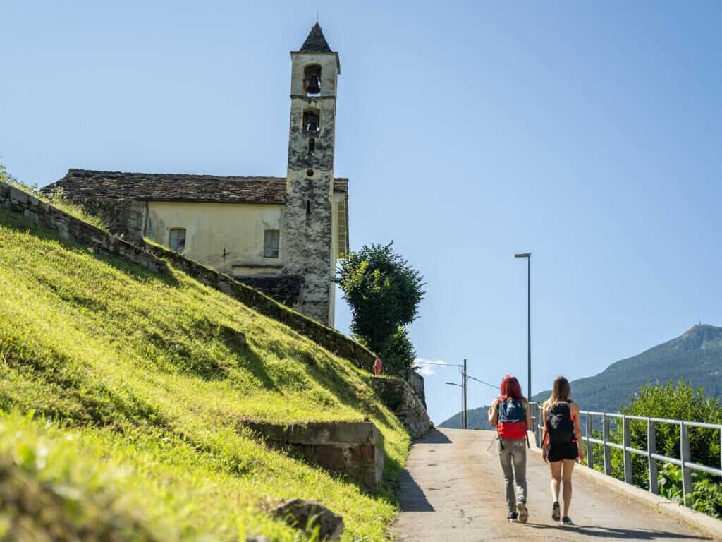
The Historical Path number 4 (Historical Path of the middle and upper Blenio Valley) starts in Acquarossa and arrives in Olivone, mainly following the lower trail, which runs along the left bank of the Brenno river.

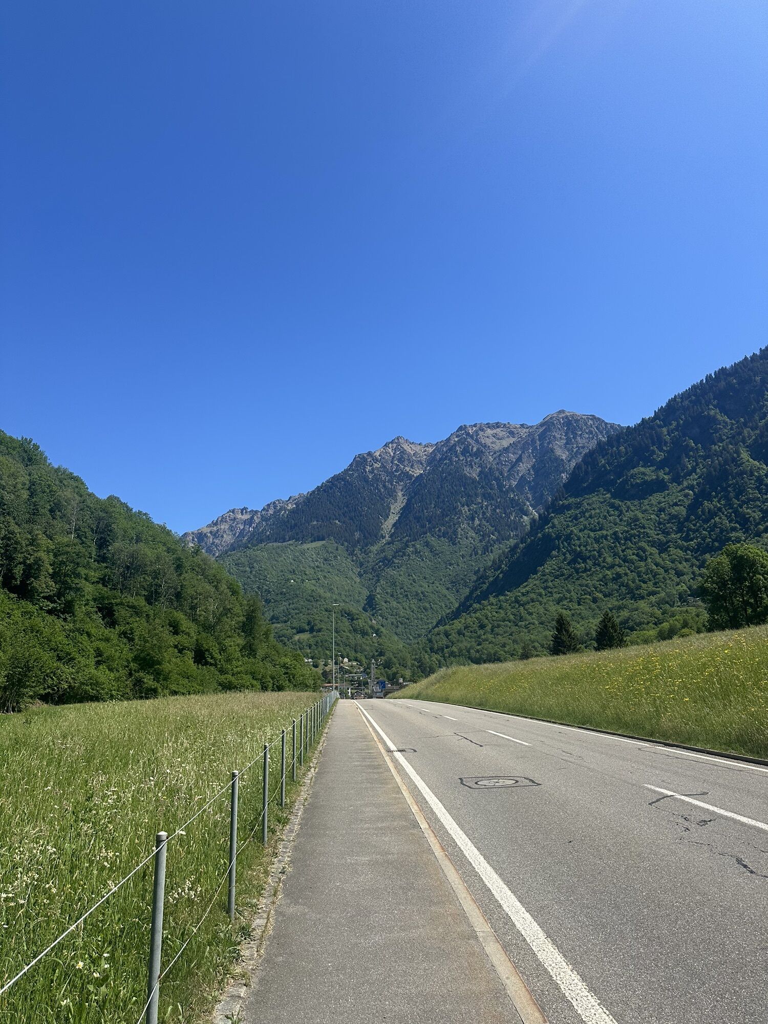
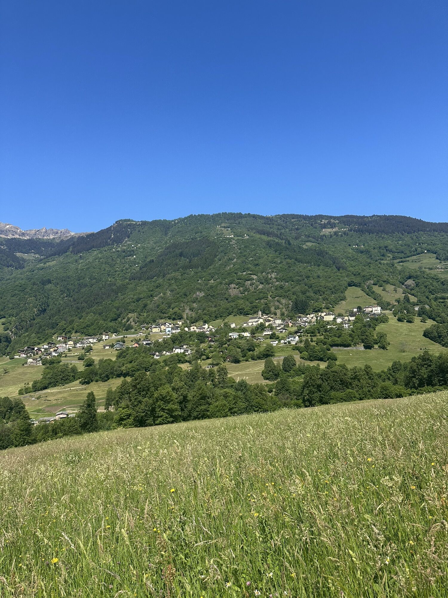
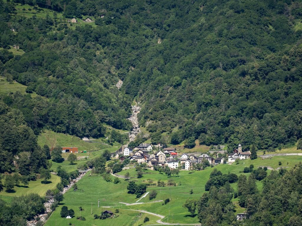
It is 11 km long, mainly on forest trails, but it also allows you to discover the small villages and hamlets of the region, also revealing the most important historical features and structures present there.

The route touches the following points of interest:

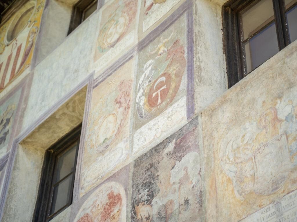
Start: Old Station, Acquarossa Old baths, Acquarossa House of the Landfogti - Blenio Valley Museum, Lottigna Maestro Martino de' Rossi, Grumo Parish church of St. Stephen - Villa Pagani, Torre Oratory of San Salvatore - Ruins of Castel Curtero - Patto di Torre Former Cima Norma chocolate factory, Torre Oratory of St. Ambrose, Votive frescoes, Dangio Parish church of St. Victor, Aquila Historical militia of Acquila, Aquila Parish church of St. Martin, Olivone San Martino Museum - Cà da Rivöi, Olivone Emigration villas, Olivone Arrival: Raiffeisen Bank, Olivone

Trasa
Comprovasco
(537 m)
Vypořádání
0.0 km
Lottigna
(626 m)
Vypořádání
2.5 km
Chiesa di Santo Stefano
(777 m)
Místo konání bohoslužeb
5.2 km
Oratorio di San Salvatore
(847 m)
Místo konání bohoslužeb
6.0 km
Chiesa parrocchiale di San Vittore Mauro
(787 m)
Místo konání bohoslužeb
7.8 km
Oratorio di Santa Caterina d'Alessandria
(914 m)
Místo konání bohoslužeb
9.1 km
Chiesa di San Martino di Tours
(902 m)
Místo konání bohoslužeb
12.1 km
Trasa
Mapa
Historic Trail number 4: Historic footpath of the middle and upper Blenio Valley
heavy
Turistika
12.58 km
Comprovasco
(537 m)
Vypořádání
0.0 km
Cará Comprovasco
(545 m)
Sousedství
0.0 km
Stazione
(536 m)
Restaurace
0.0 km
Acquarossa
(430 m)
Vesnice
0.5 km
Lottigna
(626 m)
Vypořádání
2.5 km
Orill
(656 m)
Koridor/terén
3.2 km
Grumo
(667 m)
Vypořádání
3.8 km
Baracca
(737 m)
Koridor/terén
4.4 km
Torre
(776 m)
Vesnice
5.0 km
Chiesa di Santo Stefano
(777 m)
Místo konání bohoslužeb
5.2 km
Oratorio di Ingerio
(842 m)
Místo konání bohoslužeb
5.7 km
Ingerio
(839 m)
Sousedství
5.8 km
Oratorio di San Salvatore
(847 m)
Místo konání bohoslužeb
6.0 km
Grotto Adula
(803 m)
Restaurace
6.4 km
Oratorio S. Ambrogio
(799 m)
Místo konání bohoslužeb
6.6 km
Dangio
(799 m)
Vypořádání
6.6 km
Ristorante Centrale
(777 m)
Restaurace
7.7 km
Aquila
(779 m)
Vesnice
7.8 km
Chiesa parrocchiale di San Vittore Mauro
(787 m)
Místo konání bohoslužeb
7.8 km
Ponto Aquilesco
(898 m)
Vypořádání
9.1 km
Oratorio di Santa Caterina d'Alessandria
(914 m)
Místo konání bohoslužeb
9.1 km
Oratorio di Sant'Antonio
(1017 m)
Místo konání bohoslužeb
9.9 km
Pinaderio
(1025 m)
Vypořádání
10.0 km
Oratorio di San Bartolomeo
(952 m)
Místo konání bohoslužeb
11.1 km
Oratorio di Santa Maria Maddalena
(908 m)
Místo konání bohoslužeb
11.7 km
Chiesa di San Martino di Tours
(902 m)
Místo konání bohoslužeb
12.1 km
Oratorio di San Giuseppe
(900 m)
Místo konání bohoslužeb
12.2 km
Olivone
(900 m)
Vesnice
12.5 km
Informace o prohlídce

Walking the trails of the Blenio Valley is the right way to approach the masterpieces of rural Romanesque art. It is a succession of bell towers, churches, oratories, chapels, frescoes, bridges and palaces, artistic and architectural testimonies of particular importance which, combined with the natural heritage, have promoted and increased the tourist appeal of the Blenio Valley.

Technologie
2 / 6
Stav
5 / 6
Krajina
4 / 6
Zkušenosti
4 / 6
Celoročně přístupné
Led
Úno
Bře
Dub
Kvě
Čen
Čec
Srp
Zář
Říj
Lis
Pro
Sdílet prohlídku
Mapa
Historic Trail number 4: Historic footpath of the middle and upper Blenio Valley
heavy
Turistika
12.58 km
Chyba
Došlo k chybě. Zkuste to prosím znovu.
Informace o trase
Vhodné pro rodiny

Ano

Další informace a tipy
Úroveň obtížnosti

T2

Tipy

The signage is uniform and the color used is brown. In addition to this ground signage, there are orientation and thematic panels.

The route can also be followed in the opposite direction.

Zatím žádné recenze
Napište recenzi

Recenze pomáhají ostatním uživatelům při výběru dalšího dobrodružství. Hodnoťte prosím pouze prohlídku, nikoli počasí nebo svačinu.

Výběrem jedné z hvězdiček ohodnotíte prohlídku
Špatné turné
Slabé turné
Průměrné turné
Dobrá prohlídka
Vynikající prohlídka
bergfex logo Získejte přehled Vždy živě na místě s více než 9 500 webkamerami. bergfex Jako uživatel Pro si nyní můžete zobrazit odpovídající webové kamery pro mnoho prohlídek v aplikaci prohlídky z. Můžete si tak přímo prohlédnout aktuální podmínky.
Pěší turistika a stopování

Pěší turistika a stopování

Pěší turistika a stopování
Více než 550.000 návrhů výletů, podrobné mapy a intuitivní plánovač tras dělají z aplikace nezbytnou výbavu pro všechny milovníky přírody.
bergfex