






Monte Comino-Comologno

Úroveň obtížnosti: T3
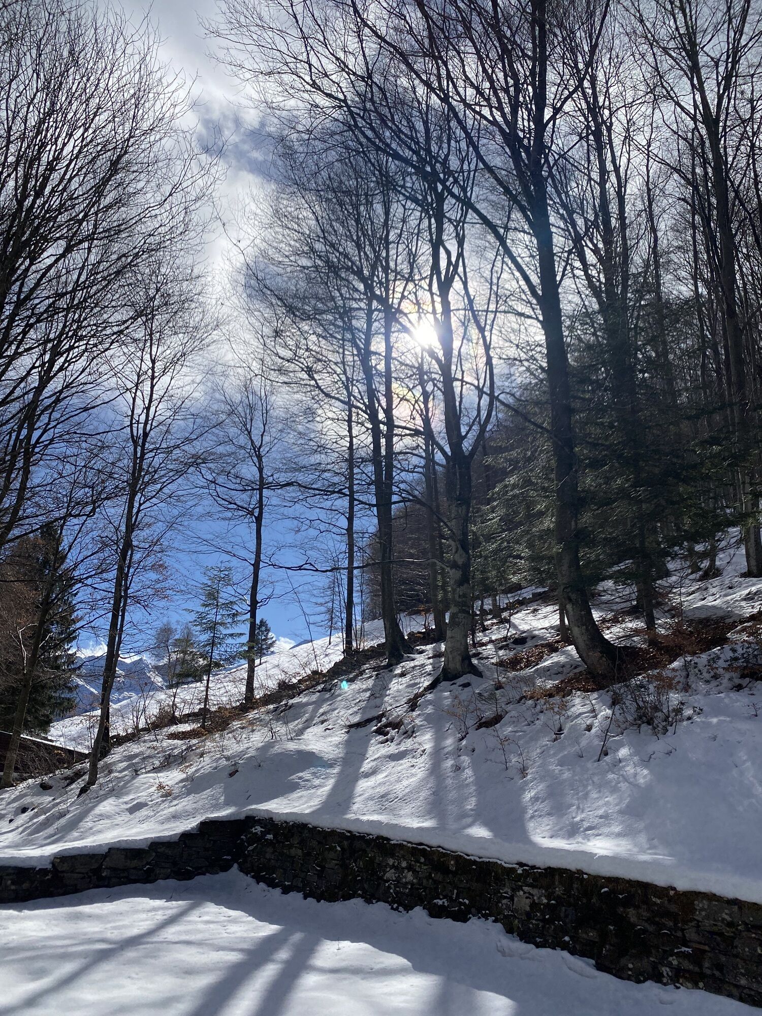
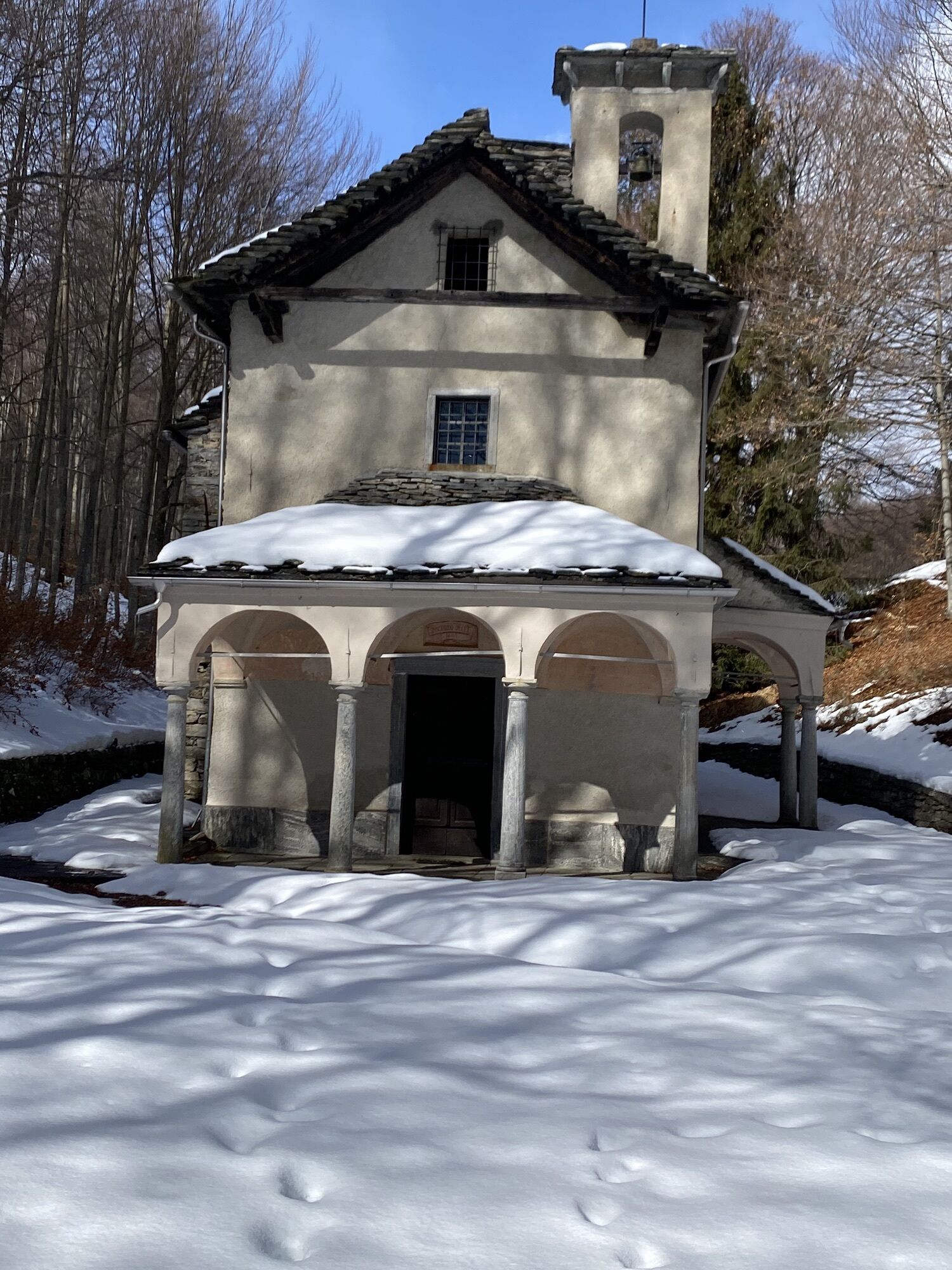
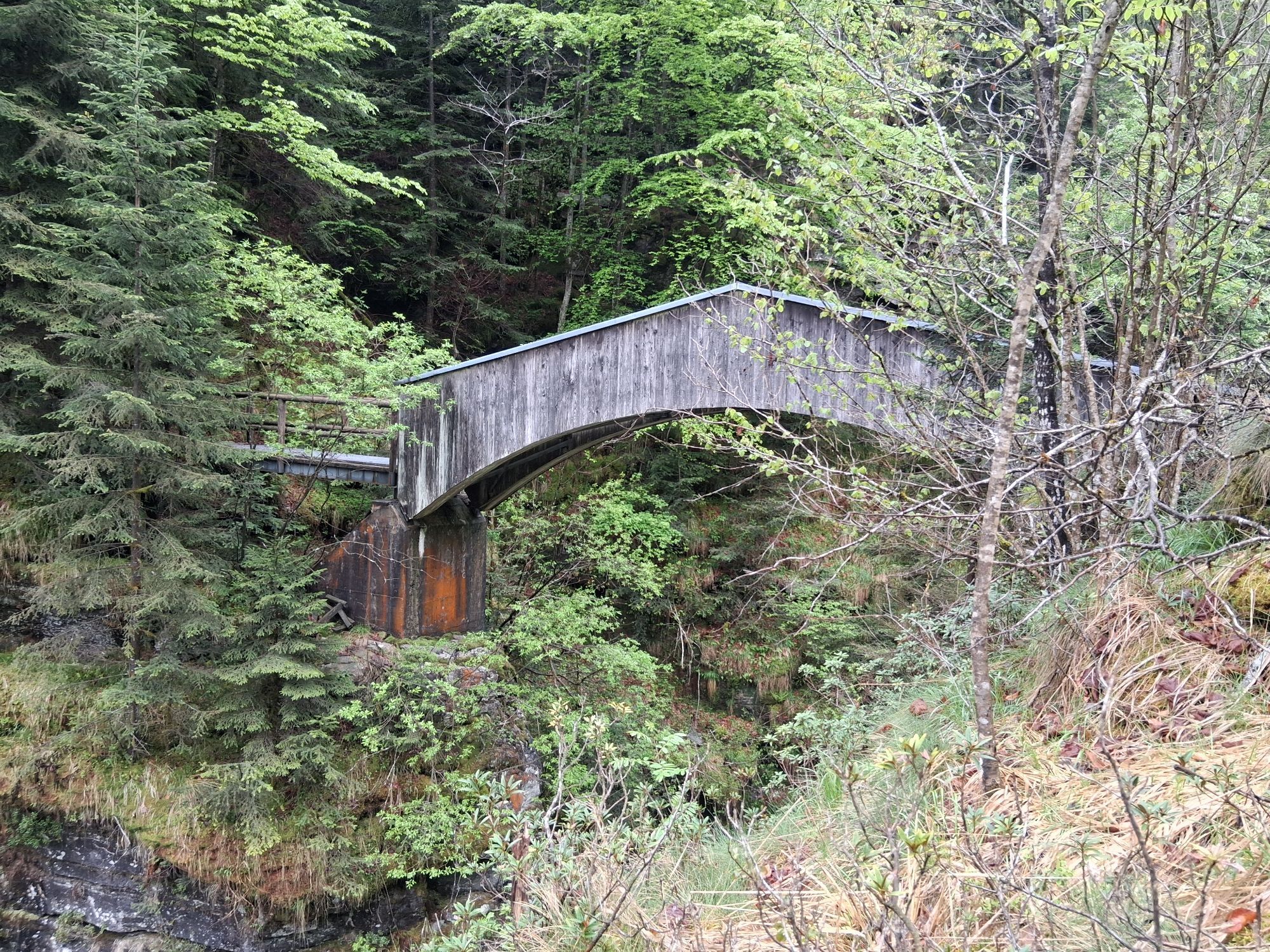
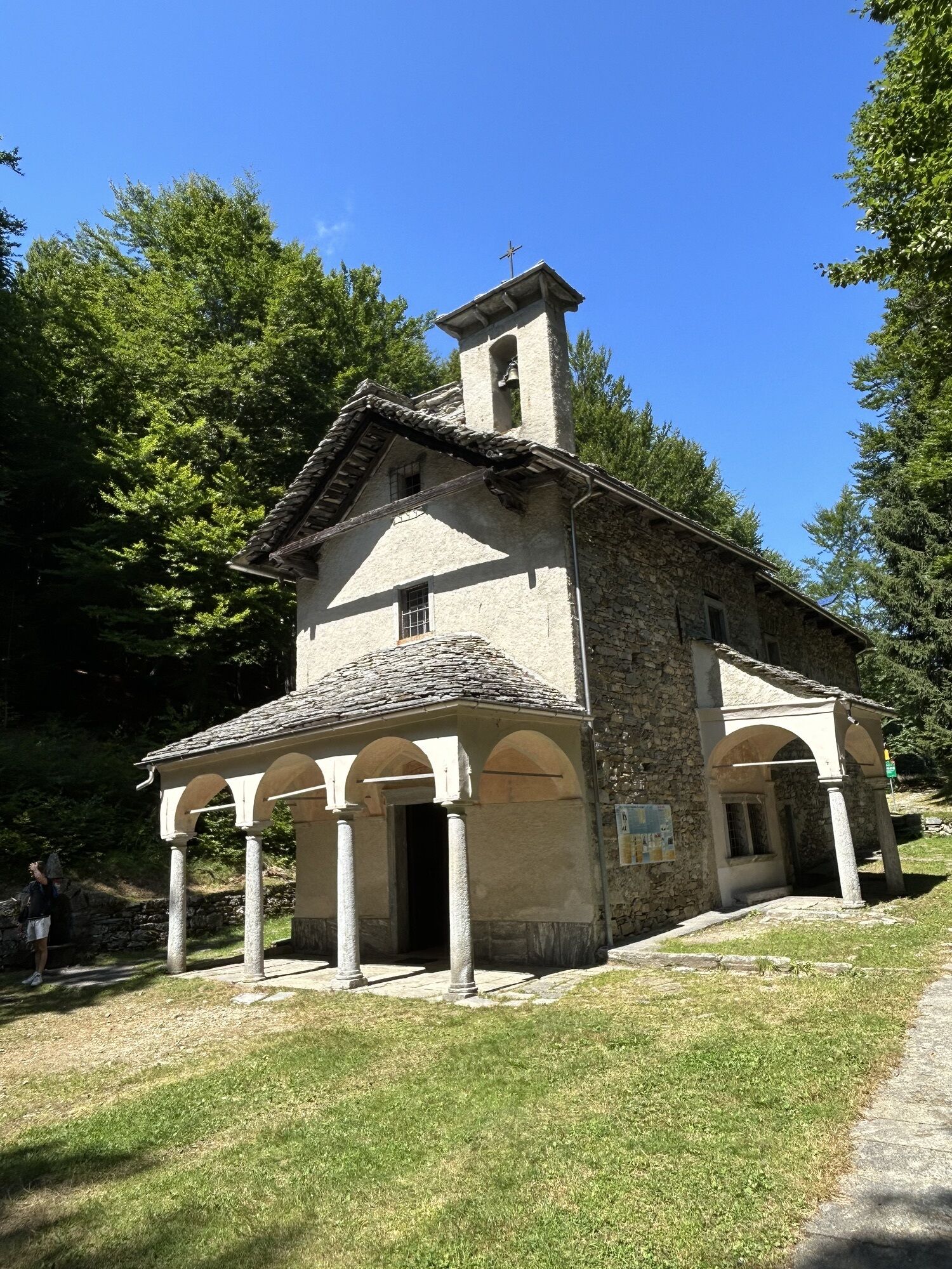
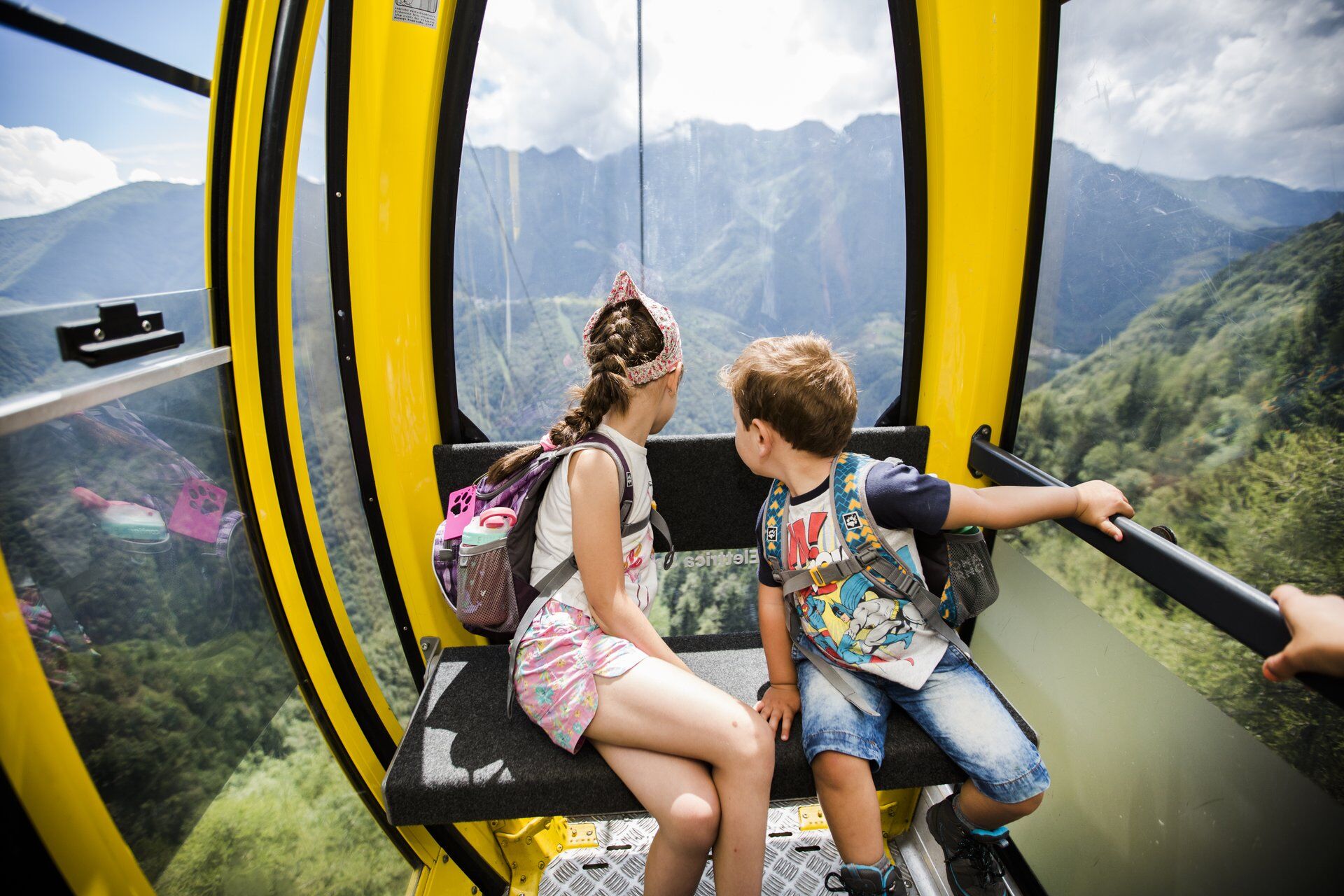
From Verdasio station, take the cable car to Monte Comino, which is a popular destination for walks thanks to numerous hiking opportunities. Towards the small church of Madonna della Segna, then up to...
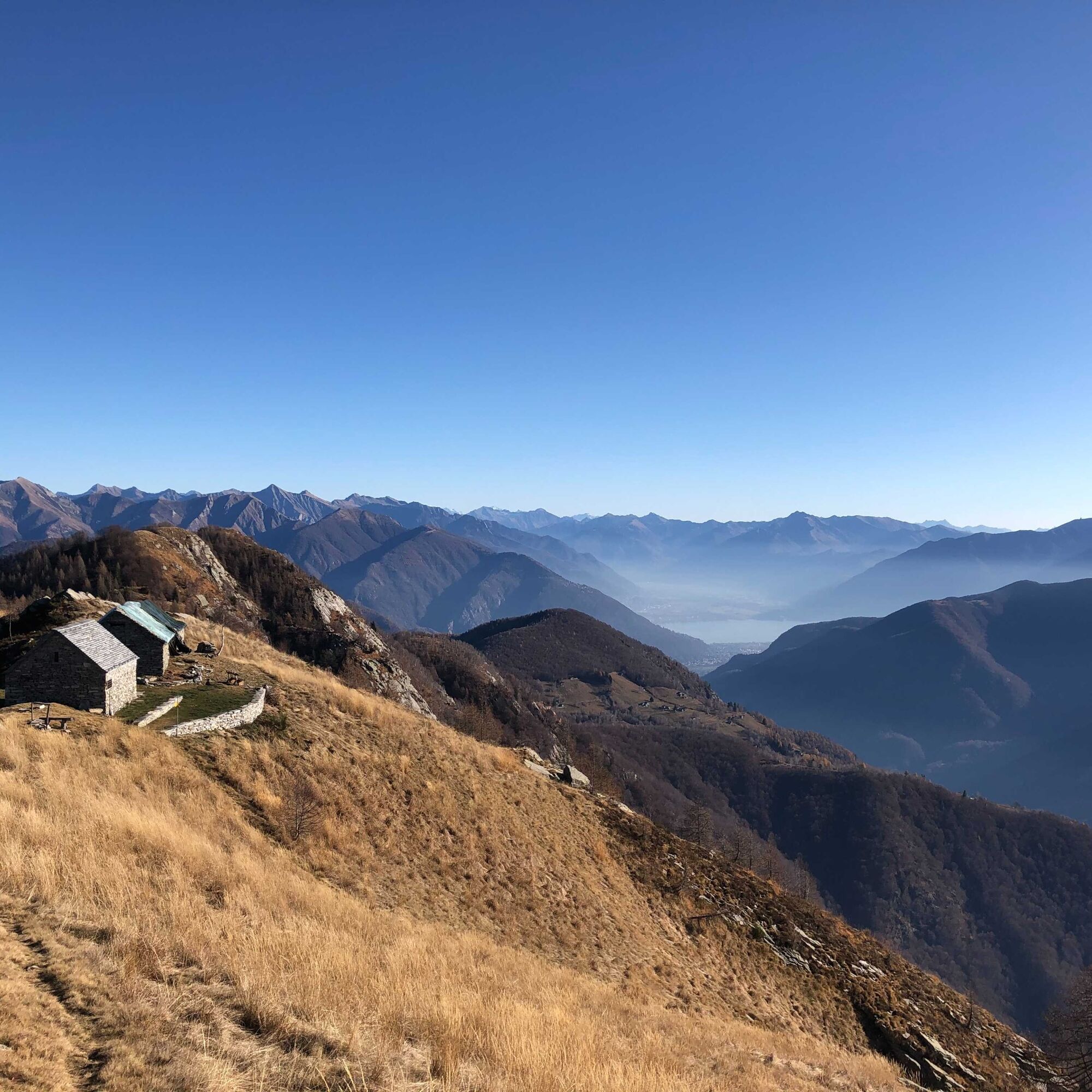
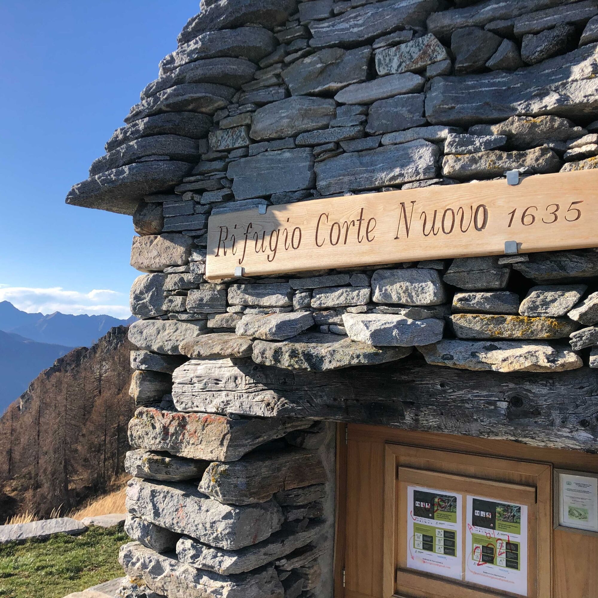
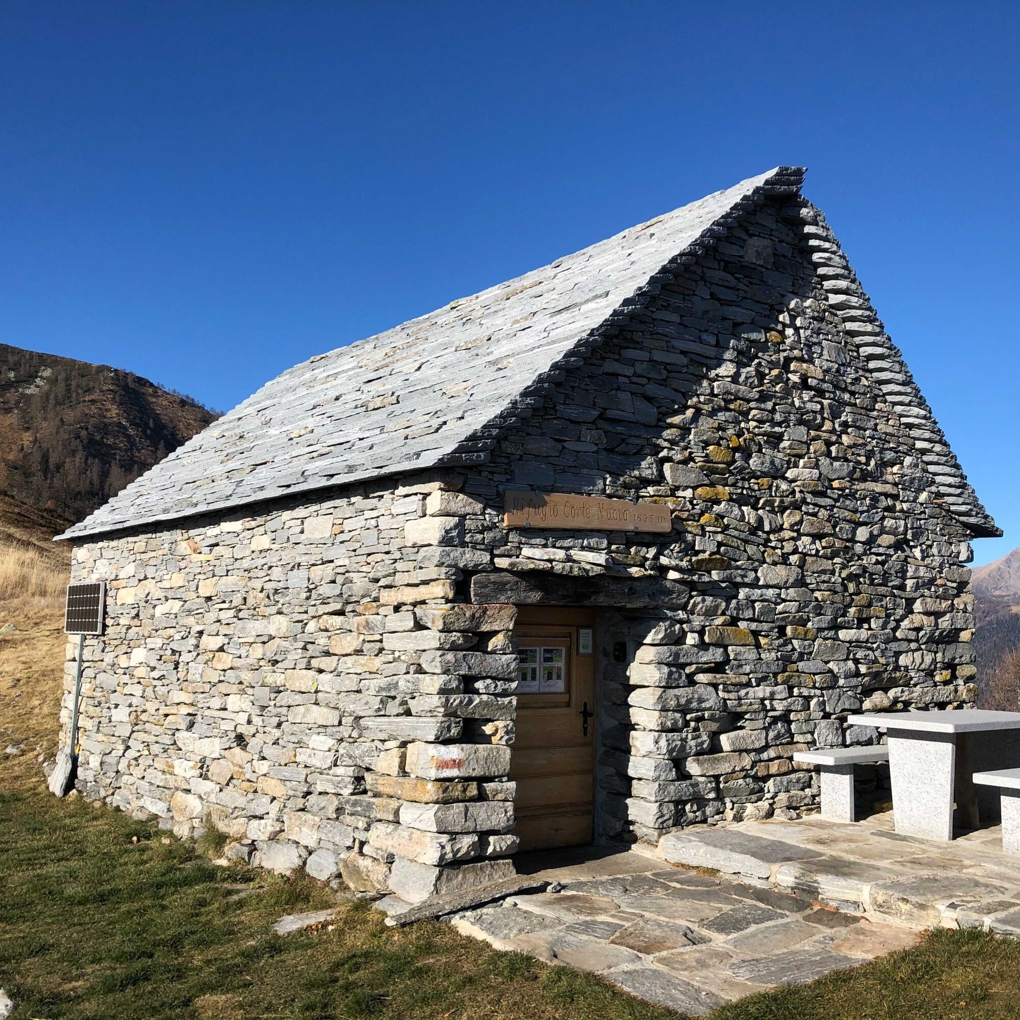
From Verdasio station, take the cable car to Monte Comino, which is a popular destination for walks thanks to numerous hiking opportunities. Towards the small church of Madonna della Segna, then up to Pizzin and then up and down along the ridge to Pescia Lunga. A short climb leads to Corte Nuovo, from here the view of Lake Maggiore is fantastic! The last big climb approaches: to Pizzo Ruscada. If you prefer to avoid the peak, there is the option to take the lower trail towards Capellone. Here too, the panorama is amazing. The descent goes through Capellone and continues through the impressive Onsernone forest reserve, which has a remarkable population of white firs. The descent continues to the Isorno river, which runs through the entire Onsernone Valley. Crossing the river, continue to Comologno, an idyllic village in the upper Onsernone Valley. Here you can visit the church of St. John the Baptist.


Monte Comino-Madonna della Segna-Pianasc-Pizzin-Pescia Lunga-Corte Nuovo Refuge-Capellone-Pizzo Ruscada-Capellone-Muriscioli-Cima Pellosa-Comologno
Hiking backpack (approx. 20 liters) with rain cover
Sturdy and comfortable shoes
Clothing suitable for weather conditions and durable, layering principle and optionally trekking poles
Sun and rain protection
Supplies and drinking water
First aid kit
Pocket knife
Mobile phone, optionally headlamp
Map material
Sentieri Svizzeri - Safe hikes
T3
Oblíbené prohlídky v okolí
-
4.8
Valle del Salto round route (SvizzeraMobile 611)
středníTuristika 8.84 km -
4.8
Avegno-Ponte Brolla-Avegno
středníTuristika 8.56 km -
3.8
Cannobio zu Sant’Aagata
světloTuristika 5.85 km -
4.0
Maggia-Someo-Maggia
světloTuristika 15.5 km -
4.0
Cardada Bike (SwitzerlandMobility 397)
heavyMountainbike 30.6 km -
5.0
Spruga-Alpe Saléi-Comologno
středníTuristika 8.96 km -
4.5
Sculpture Trail
světloTematická stezka 2.49 km -
5.0
In the footsteps of Mr. Geiser
středníTematická stezka 6.73 km -
4.0
Gordevio-Alpe Nimi-Gordevio
heavydálková pěší trasa 15.2 km -
4.7
Tegna-Castelliere-Ponte Brolla-Tegna
středníTuristika 4.63 km
Pěší turistika a stopování


Nenechte si ujít nabídky a inspiraci pro vaši příští dovolenou
Vaše e-mailová adresa byl přidán do poštovního seznamu.





