







Via Alta Vallemaggia- Stage 9S: Robièi-Maria Luisa Hut
Úroveň obtížnosti: T4
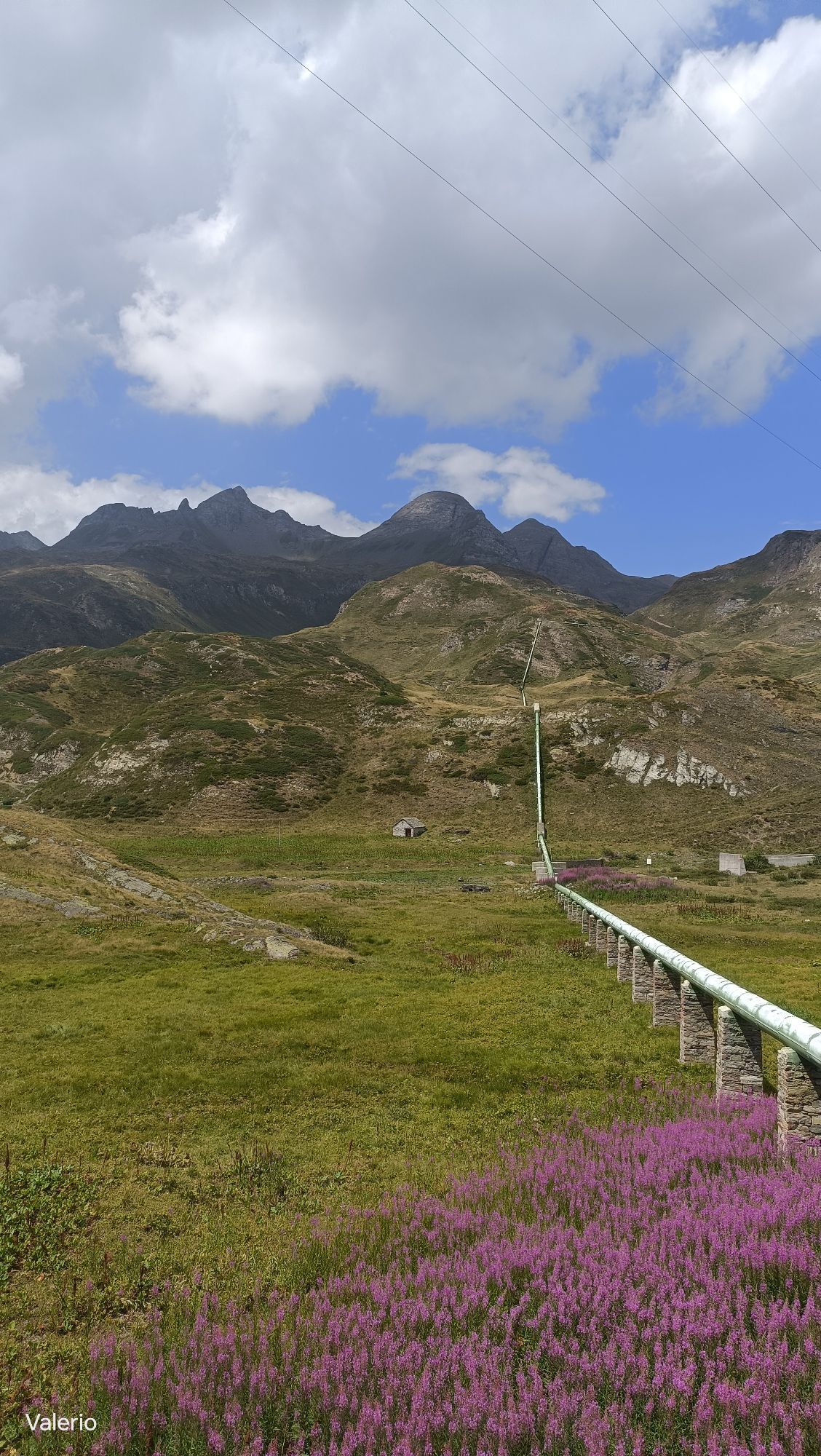
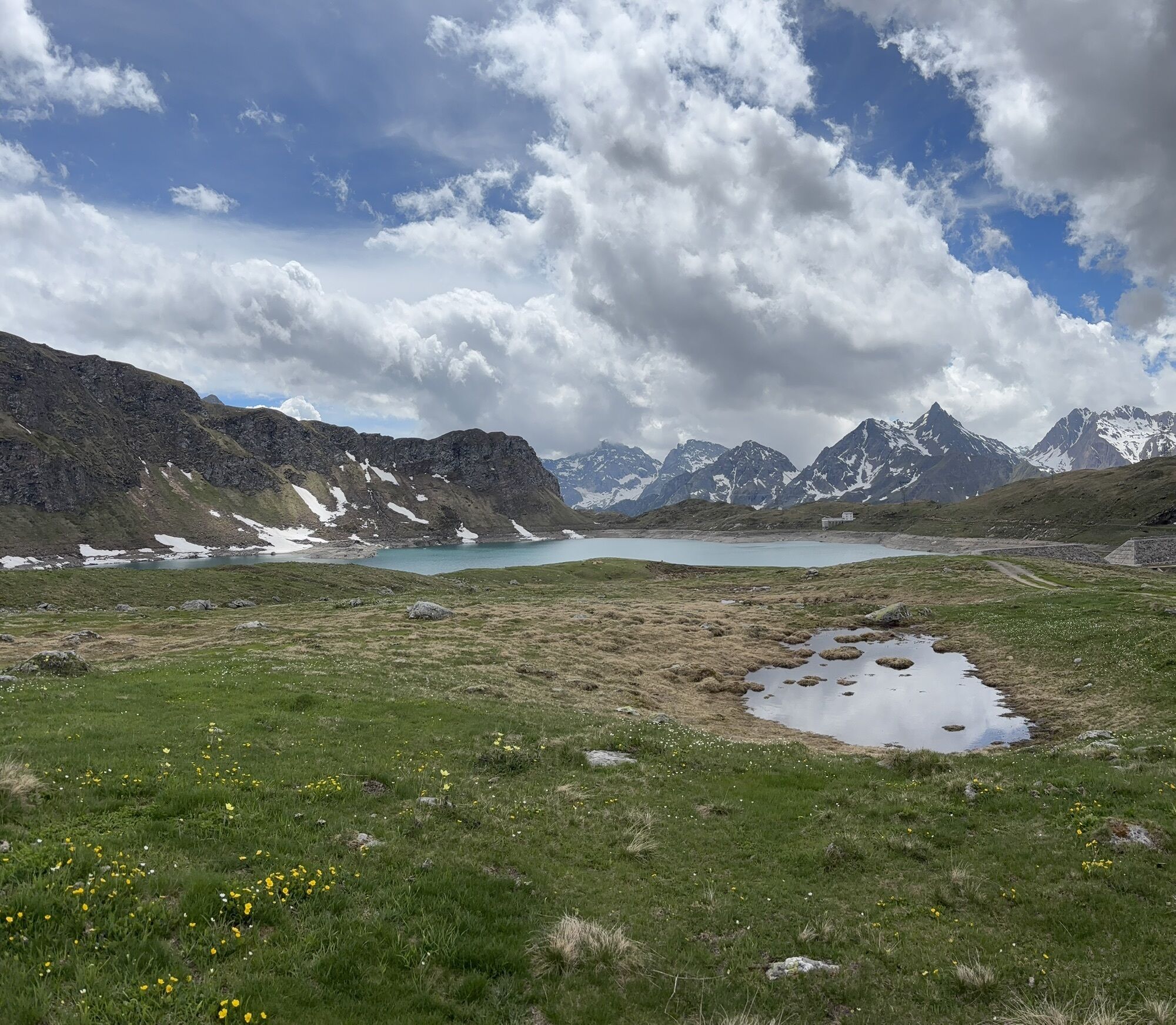
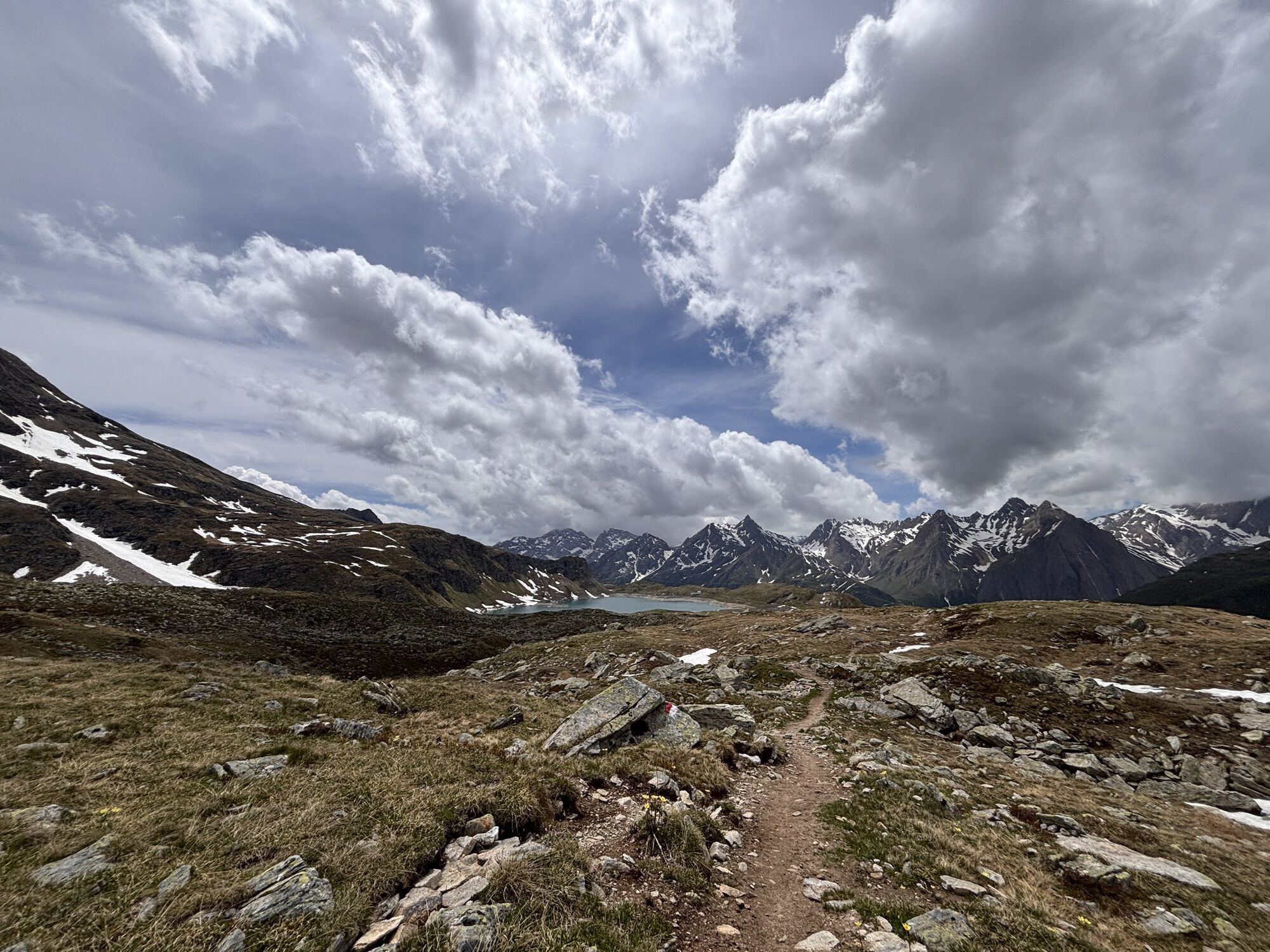
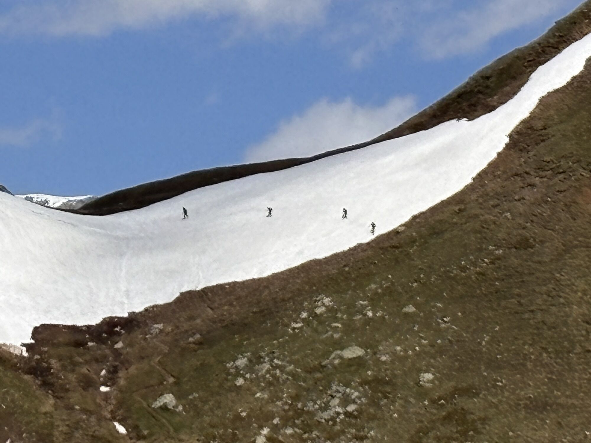
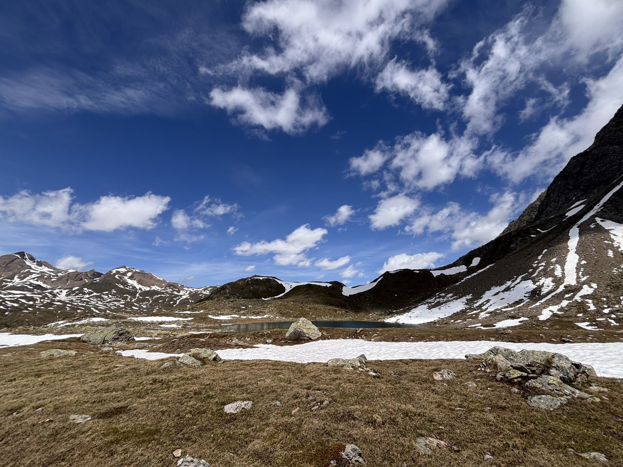
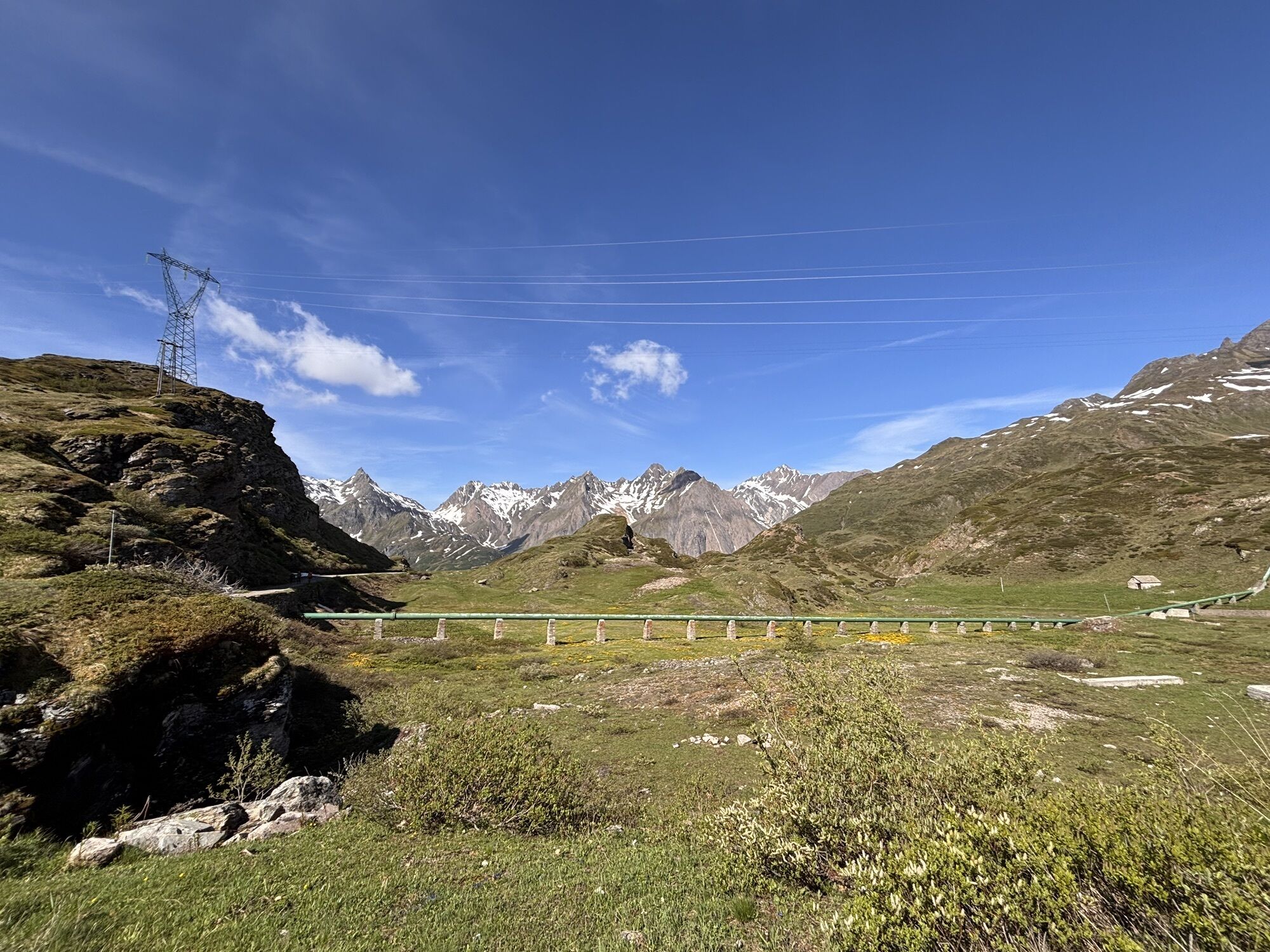
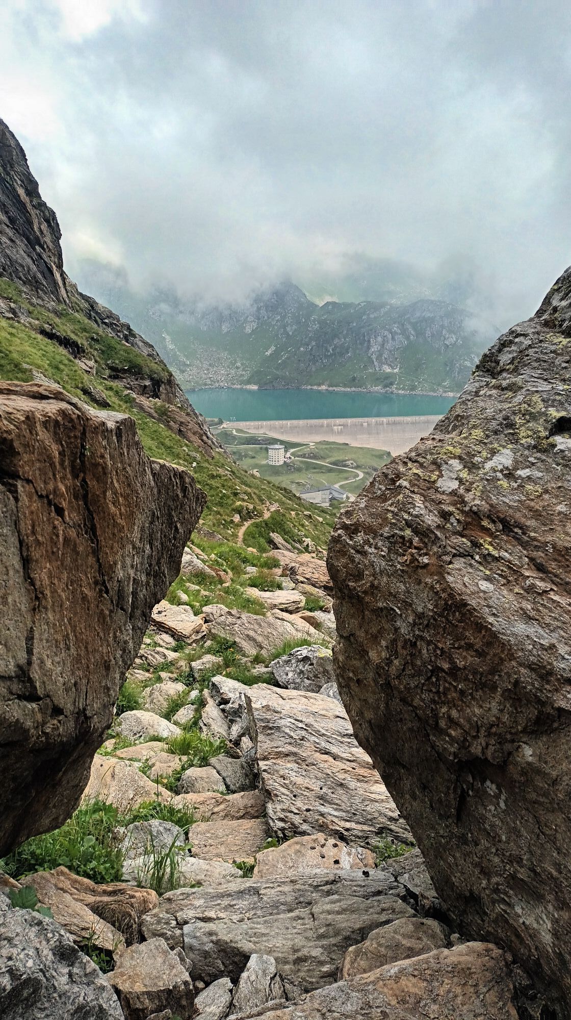
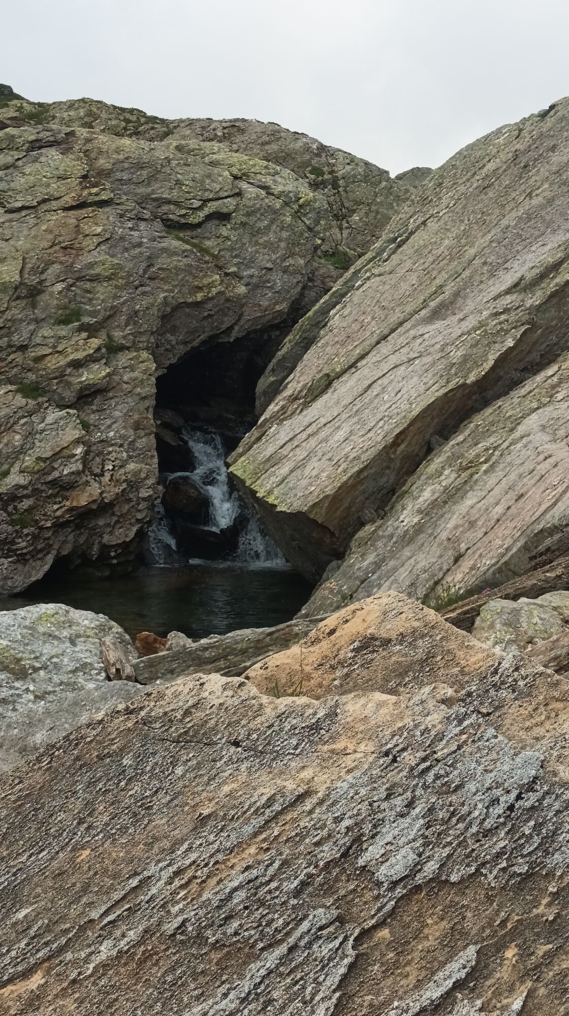
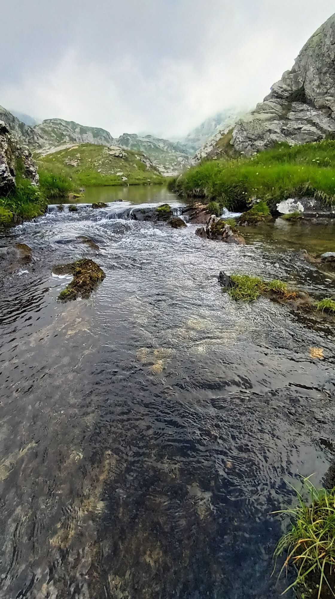
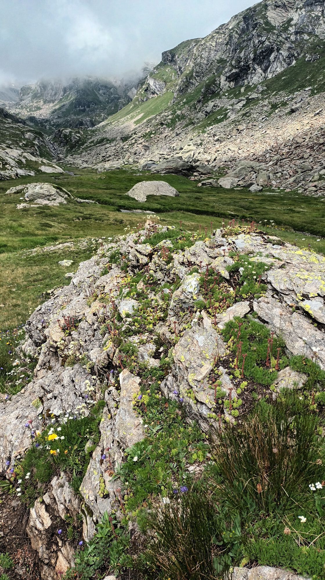
The ninth stage is a true feast for the eyes. Alpine mountains, wonderful mountain lakes and the sweet scents of nature. From Robièi, the trail climbs at the foot of the Basòdino glacier up to the Bocchetta...
The ninth stage is a true feast for the eyes. Alpine mountains, wonderful mountain lakes and the sweet scents of nature. From Robièi, the trail climbs at the foot of the Basòdino glacier up to the Bocchetta di Val Maggia, at 2633 m: the highest point of this stage and the passage into the Italian Piedmont. In Val Formazza in the 13th century, the Walser settled, which explains the German names of the alpine lakes encountered on the descent towards the Maria Luisa Hut: Bodenseen (Boden Lakes), Kastelsee (Castel Lake), and Fischsee (Toggia Lake). The Maria Luisa Hut is located on the Alpe Toggia, a beautiful alpine pasture surrounded by high mountains.
Source: Via Alta Vallemaggia Association

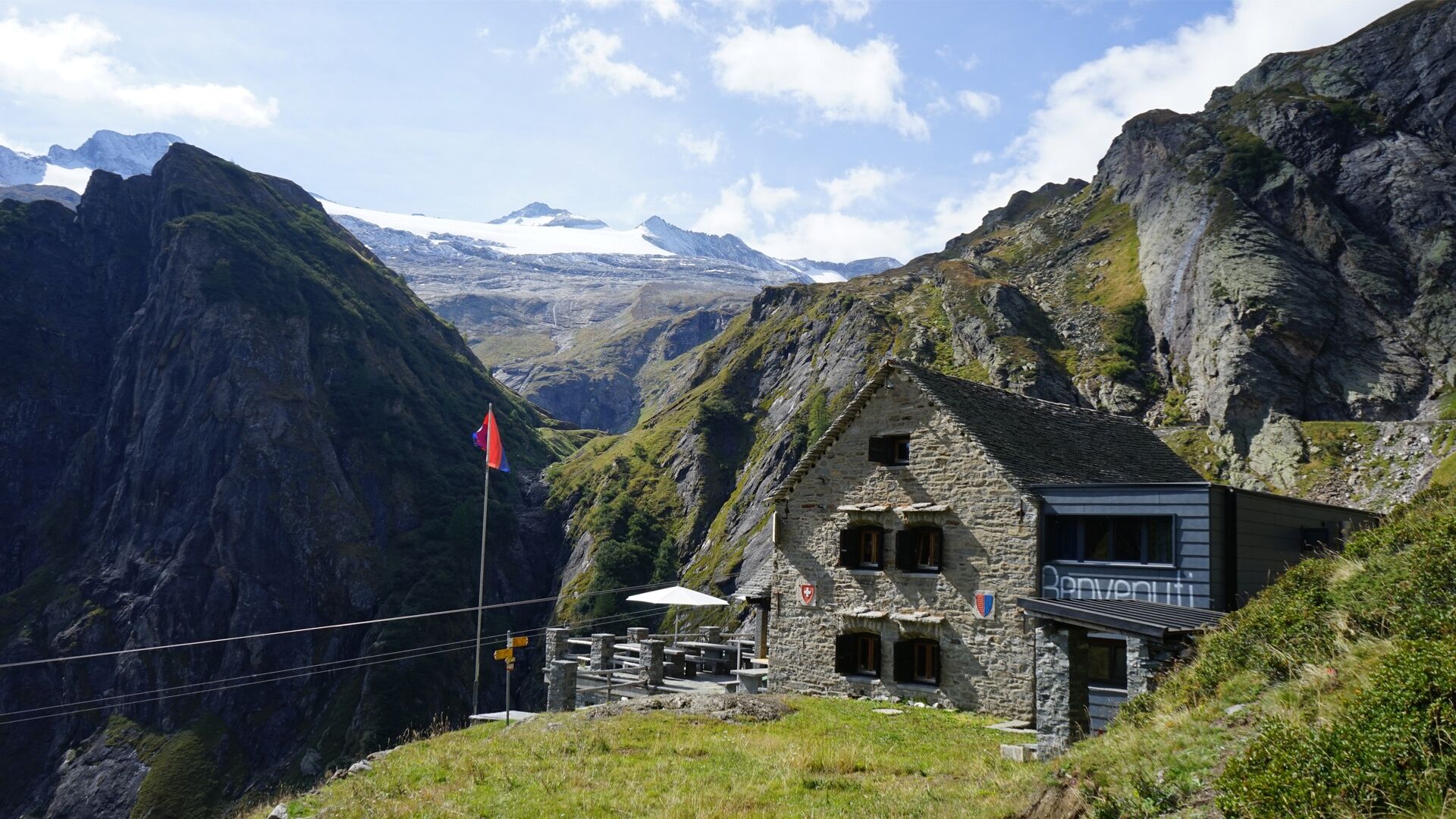
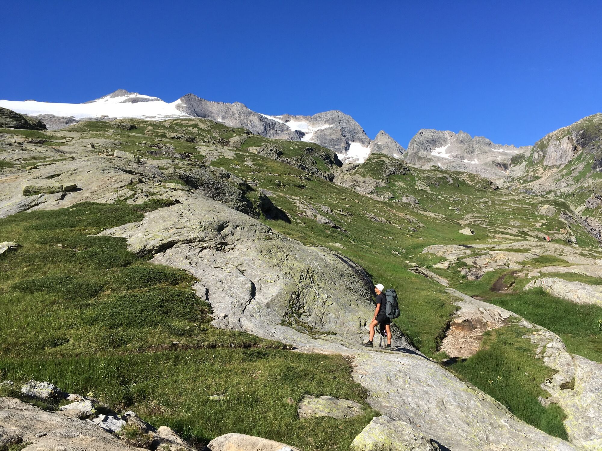

Robièi-Randinascia-Bocchetta di Val Maggia-Boden Lakes-Maria Luisa Hut
Ano
Good boots
Suitable clothing
Sunglasses, sun protection
Map 1:25,000, altimeter, compass, possibly GPS
Small first aid kit, emergency thermal blanket
Enough food and drinks
ID card, cash (Swiss francs and euros for the hut in Italy)
The Via Alta Vallemaggia alternates between mountain trails (T3) and alpine tracks (T4-T5–). Occasionally it is necessary to face short passages exposed to the danger of falling and sections of simple climbing. Often the most delicate passages are equipped with chains or crampons.
Some huts open their doors already in June, when the connecting stages are usually still snowy. Generally, the best season for trekking is from July to September/October. However, even in mid-summer, it is advisable to contact the wardens to inquire about the passability of the route. Booking overnight stays is mandatory to avoid unpleasant surprises and finding yourself without accommodation.
Requirements:
Good experience in alpine environment Adequate physical condition Detailed planning (e.g., descents to the valley, weather, etc.) Secure footing off-trail and no vertigoDo not underestimate:
High altitude Sudden weather changes Presence of snowfields early in the season Duration of stages (especially with large groups) Often no phone reception Lack of potable water sources along some stagesEmergency number in Switzerland REGA: 1414
General emergency number (international): 112
Calling 112 transfers the call directly to the competent rescue unit (ambulance, police, fire brigade). 112 can be reached on GSM network even if the SIM card or the phone is locked. In almost all countries, 112 works on GSM network. Outside Switzerland, it works even without a SIM card.
In case of emergency:
Keep calm Protect the injured and people in distress from further dangers, cold and bad weather Provide first aid Call for help and start rescue operations; do not leave the injured alone Also consider your own safetyT4
BOOK NOW
Check the availability of beds in the huts of the Via Alta Vallemaggia by indicating the departure day, the number of participants, and the chosen direction.
Reservations must be made individually for each hut. Clicking on the number of available beds will open the booking page of the respective hut.
https://www.viaaltavallemaggia.ch/it/verifica-disponibilita
https://www.viaaltavallemaggia.ch/it/capanne
Získejte přehled Vždy živě na místě s více než 9 500 webkamerami. bergfex Jako uživatel Pro si nyní můžete zobrazit odpovídající webové kamery pro mnoho prohlídek v aplikaci prohlídky z. Můžete si tak přímo prohlédnout aktuální podmínky. 

Oblíbené prohlídky v okolí
- 4.8
Ciaspolata al Rifugio Maria Luisa
středníSněžnice 11.2 km - 4.0
Foroglio-Calnègia-Foroglio
středníTuristika 8.37 km Via Alta Vallemaggia
heavyTuristika 169.7 km- 3.5
Circular hike Furka Pass-Tällistock
středníTuristika 11.0 km - 4.0
Capanna Piansecco
světloSněžnice 7.26 km - 5.0
Lago del Naret-Sasso Nero-Lago del Naret
středníTuristika 8.55 km Glaciological Path
středníTuristika 8.18 km- 5.0
Toce Waterfall - Riale - San Giacomo Pass road
středníTuristika 10.9 km - 5.0
Bignasco-San Carlo
středníTuristika 12.8 km - 4.0
Realp - Witenwasseren - Rotondohütte - Leckihorn - Rottällihorn - Stelliboden - Realp
světloLyžařská trasa 19.7 km
Pěší turistika a stopování


Nenechte si ujít nabídky a inspiraci pro vaši příští dovolenou
Vaše e-mailová adresa byl přidán do poštovního seznamu.





