






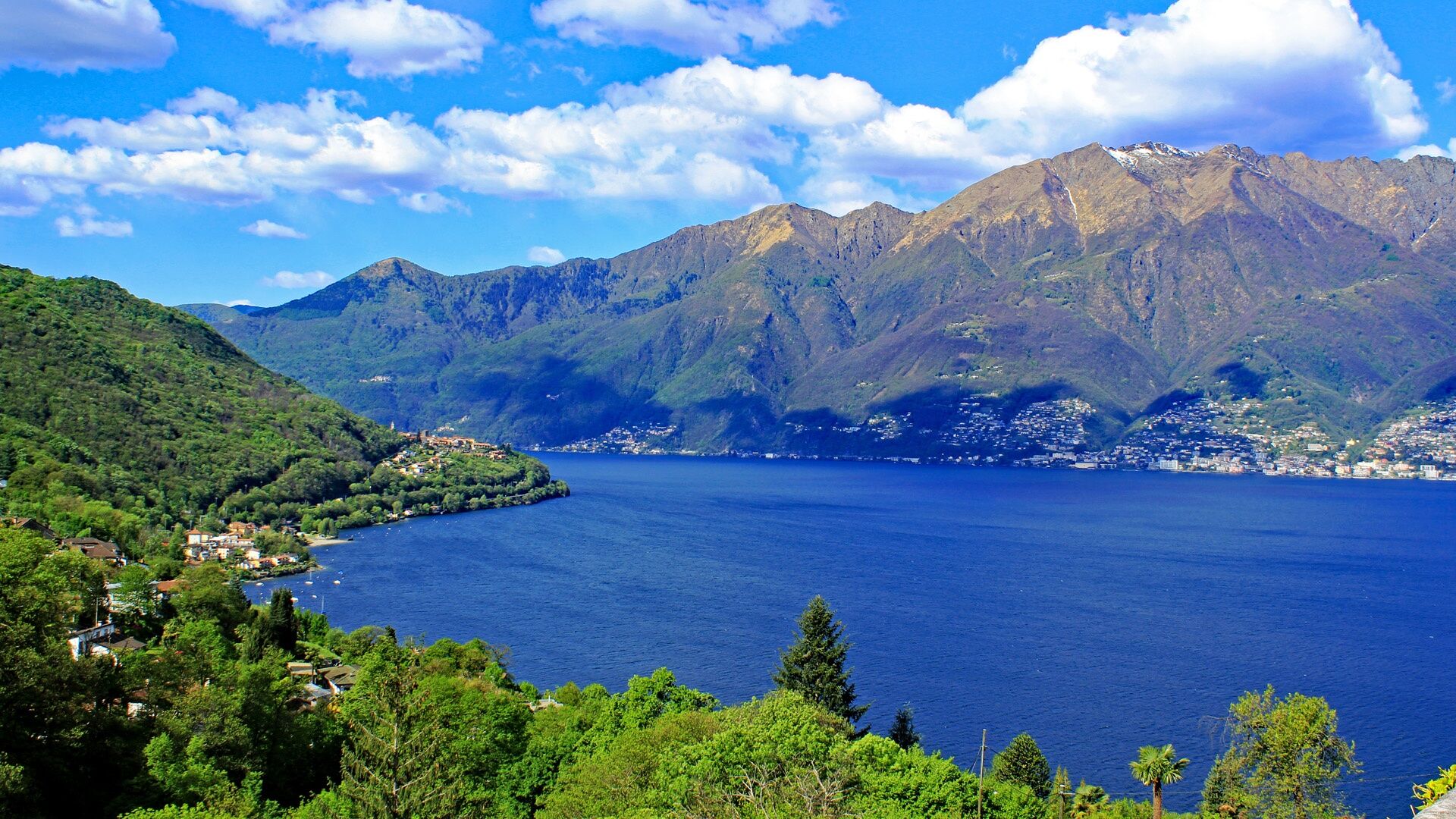
The educational path between mountains and lake
Úroveň obtížnosti: T1
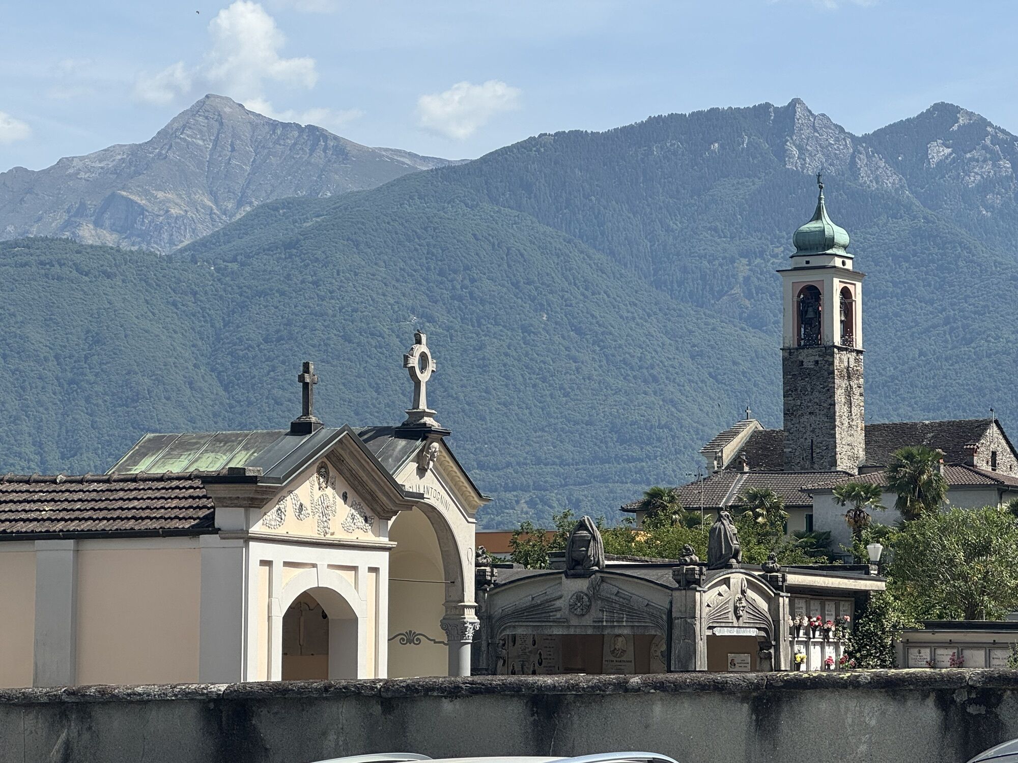
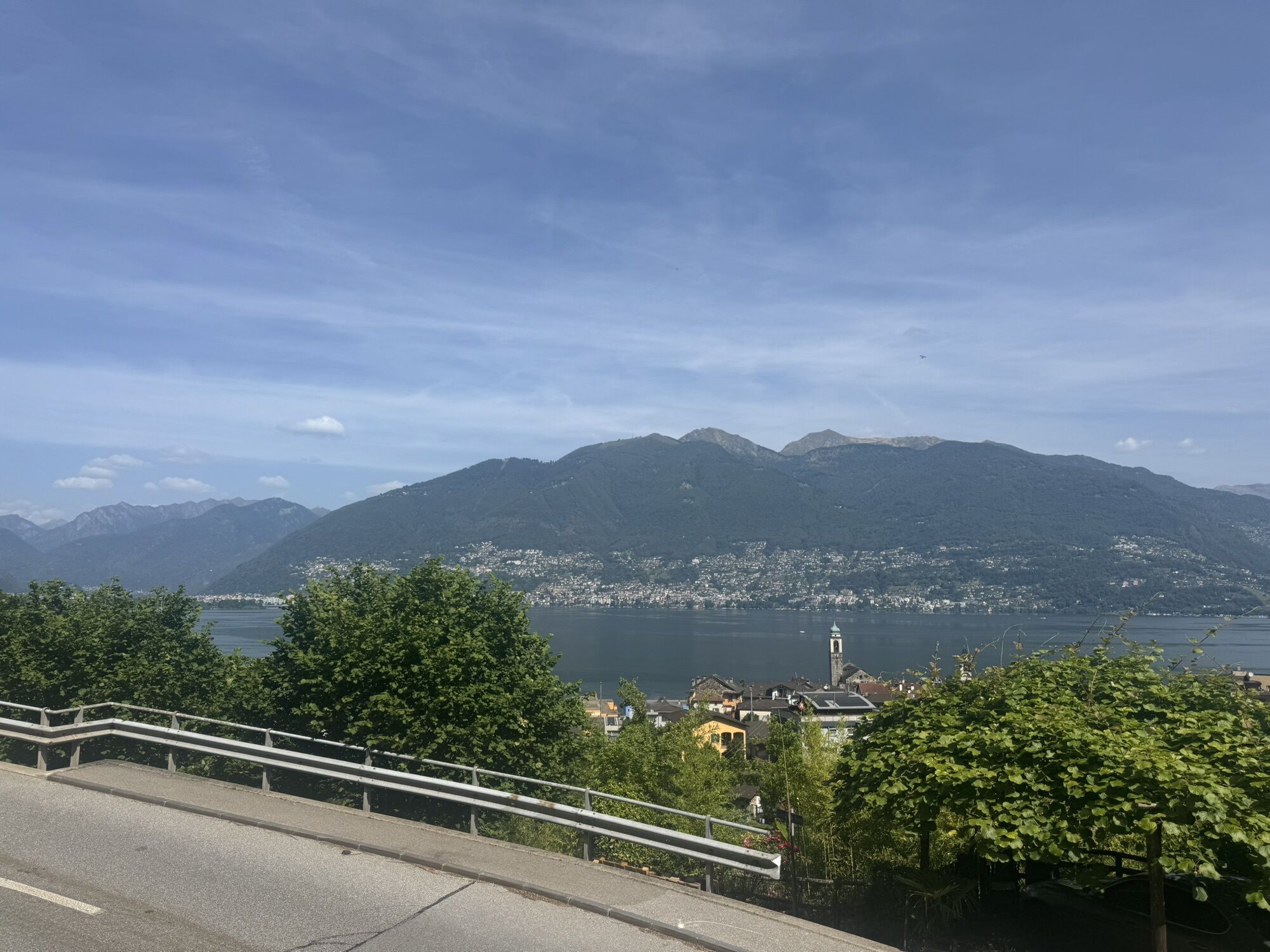
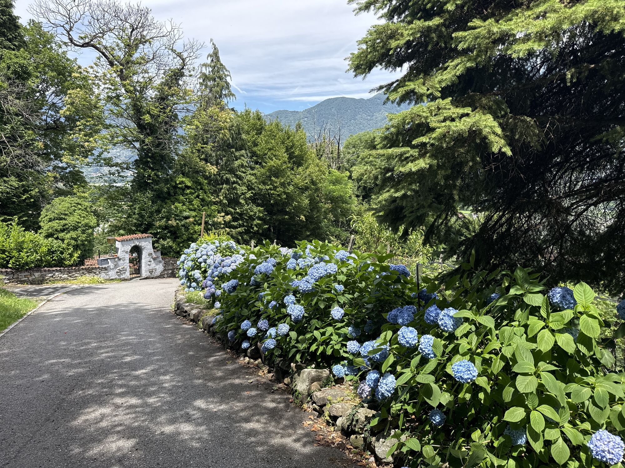
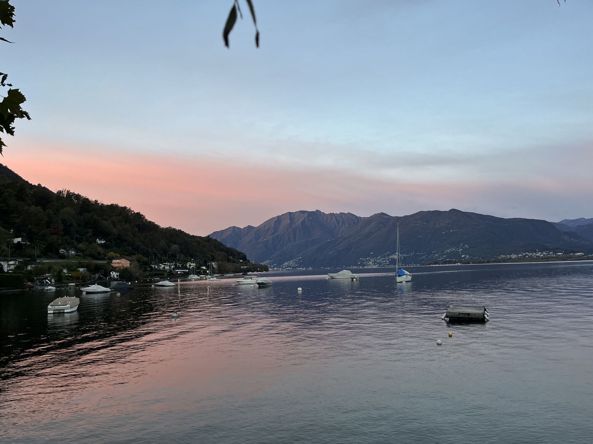
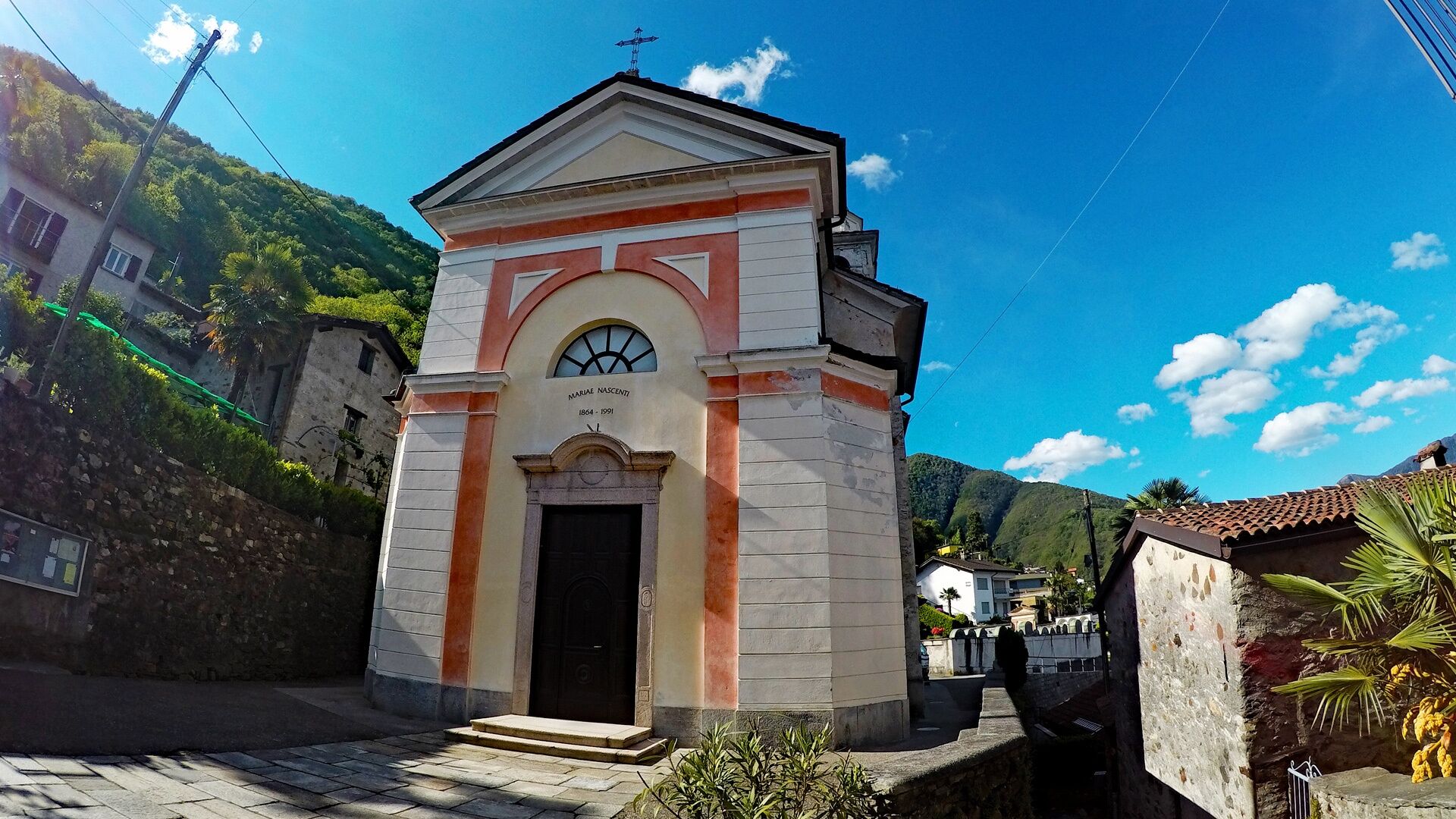
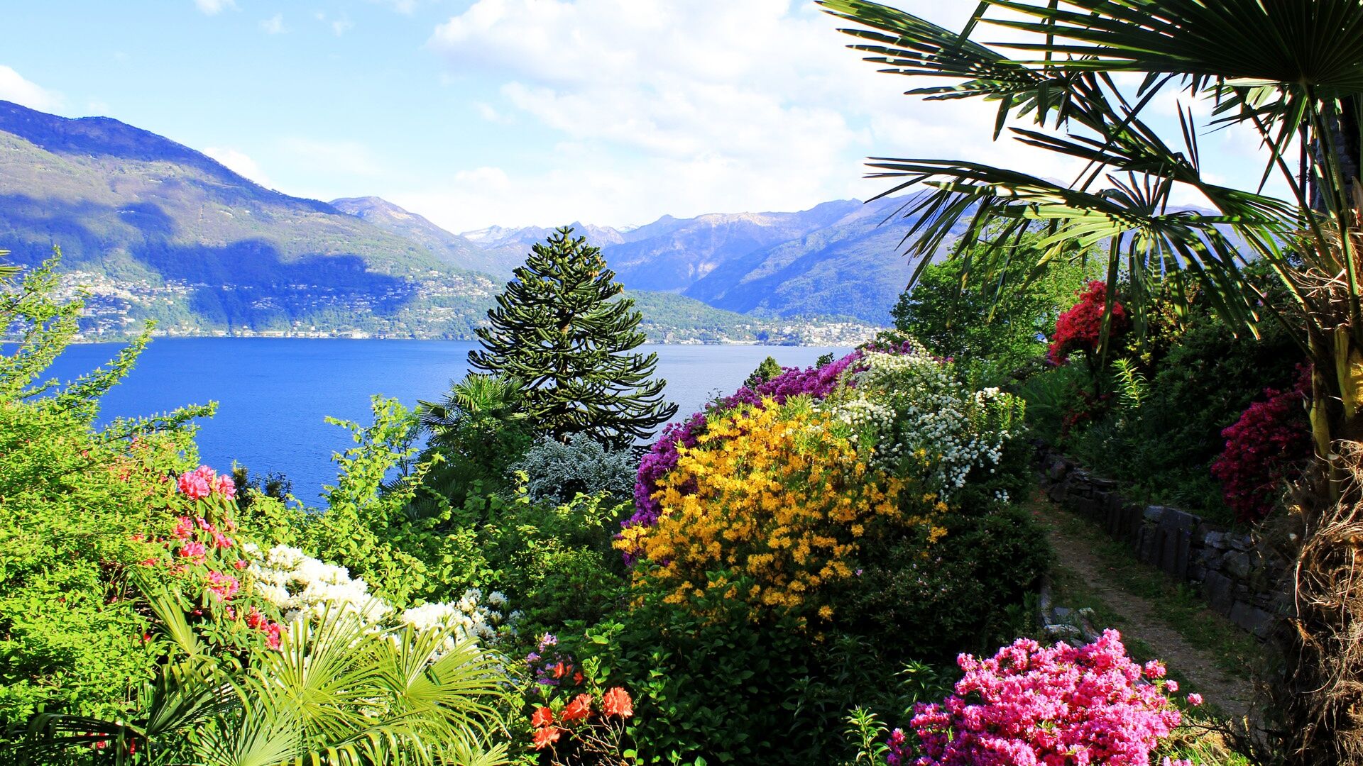
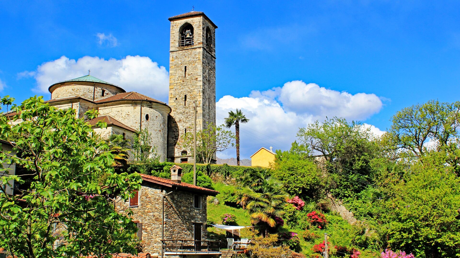
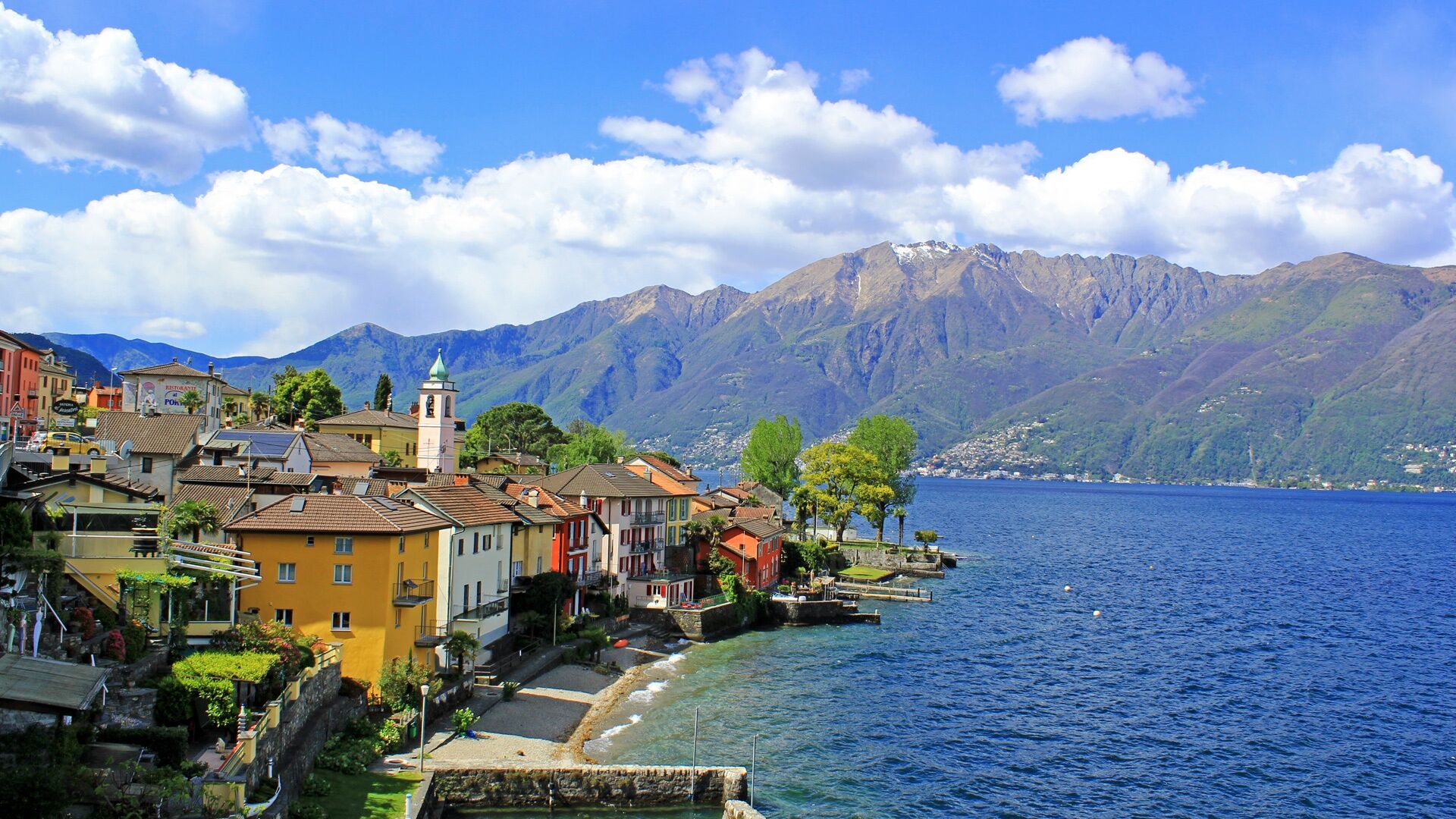
The approximately forty thematic panels, created in cooperation with the schools of Gambarogno, tell old, evocative, but also modern and fascinating stories. They familiarize hikers with historical, geographical...
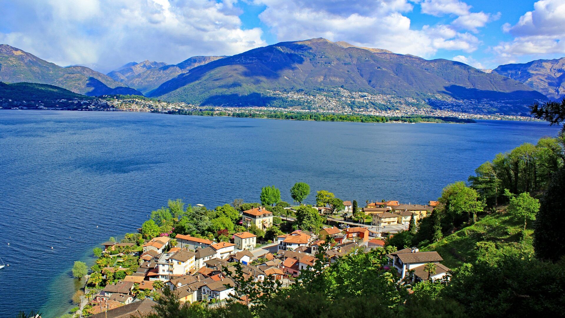
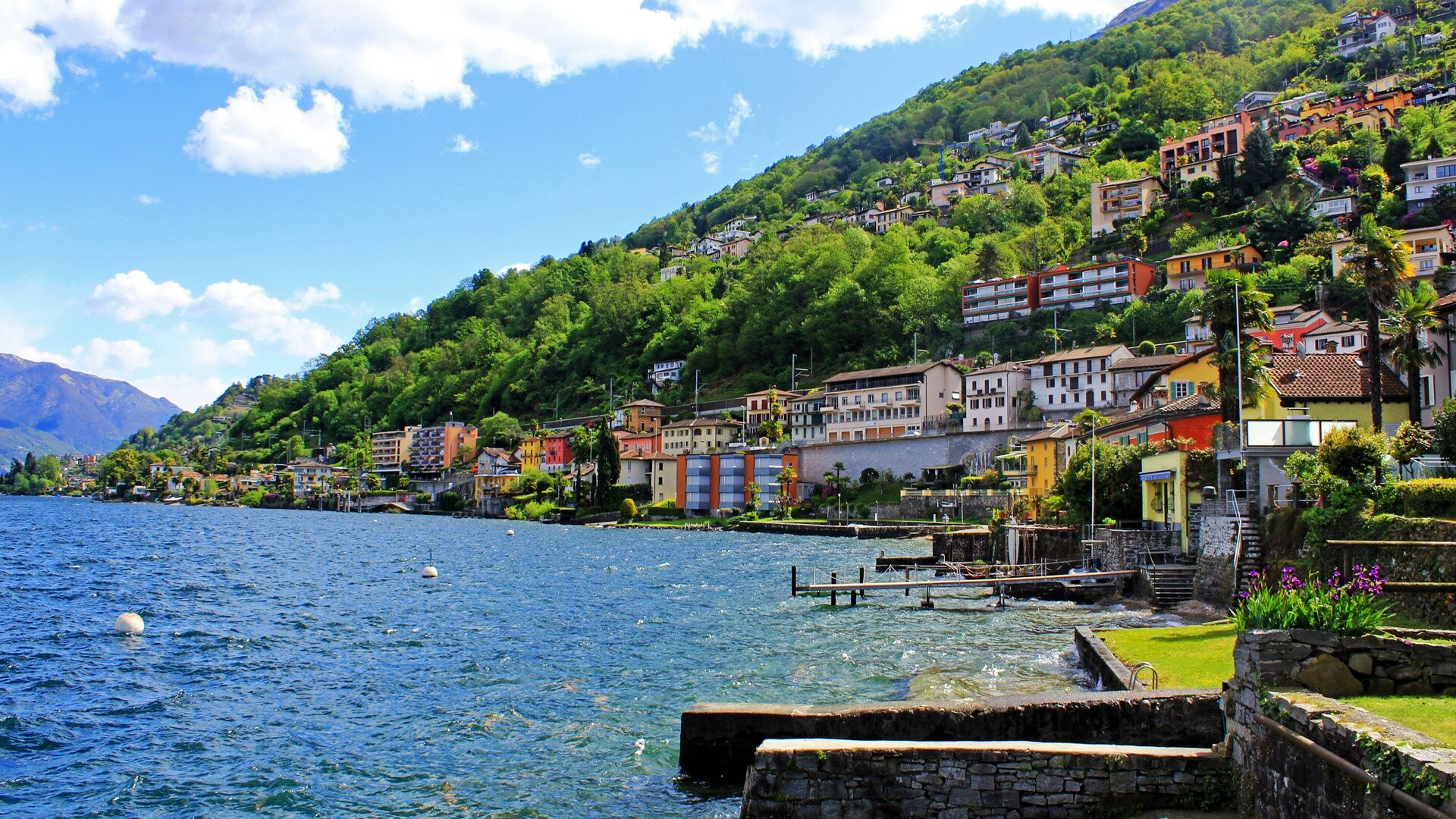
The approximately forty thematic panels, created in cooperation with the schools of Gambarogno, tell old, evocative, but also modern and fascinating stories. They familiarize hikers with historical, geographical and scientific facts, old crafts and new settlements, nature parks and recreational areas. They also explain the major territorial and socio-economic changes of the last 200 years, from the advent of the railway to the canalization of the Ticino River and the subsequent reclamation of the Magadino plain.
The educational path was created as part of an Interreg initiative in 2004 with the first section Dirinella – San Nazzaro, was extended to Contone in 2017, and has reached the SBB train station Cadenazzo since 2019. This extension was pursued as part of the projects Le Terre del Ceneri and La Via del Ceneri, which aim to highlight the historical, cultural, and landscape features of the areas of Cadenazzo, Gambarogno, and Monteceneri north of Monte Ceneri as well as the commissioning of the Ceneri Base Tunnel opened in 2020.
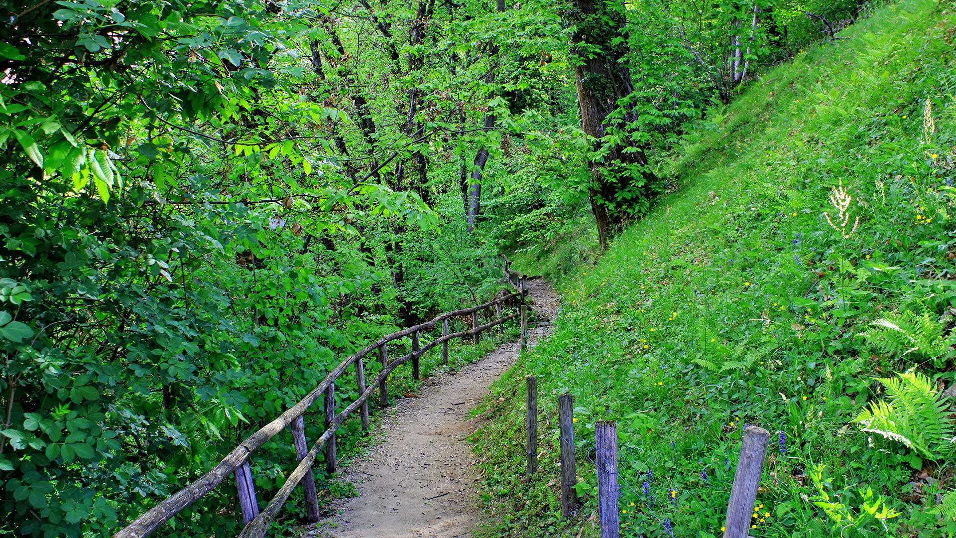
The educational path is aimed at a broad audience: schoolchildren, families, but also older people. It has no major difficulties and can be walked in both directions.
Due to its length of around 23 kilometers, the educational path is divided into three stages.

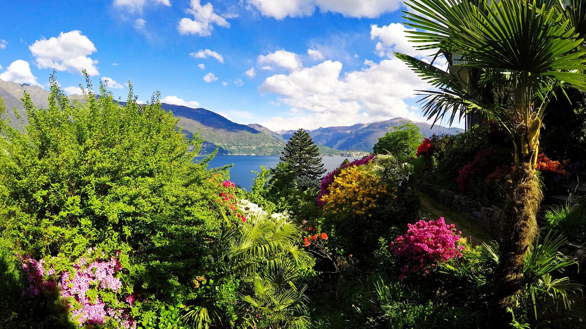
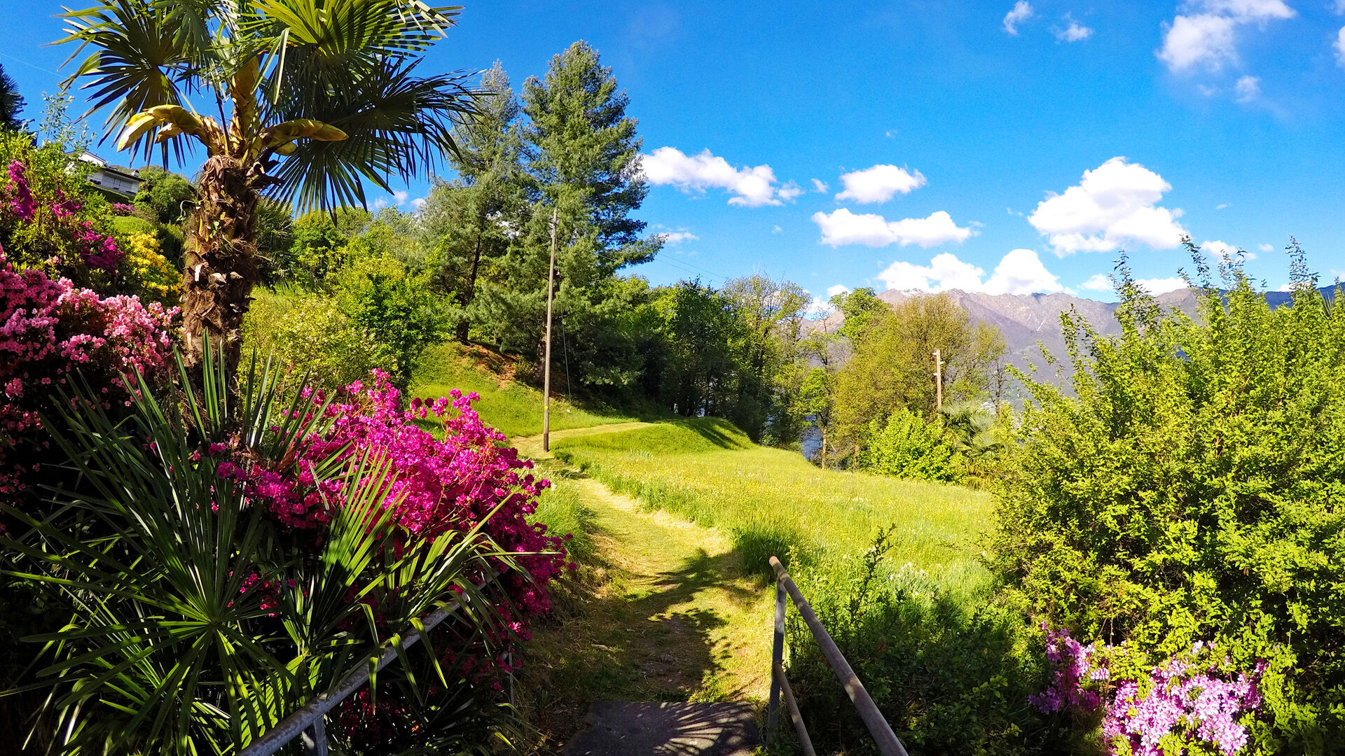
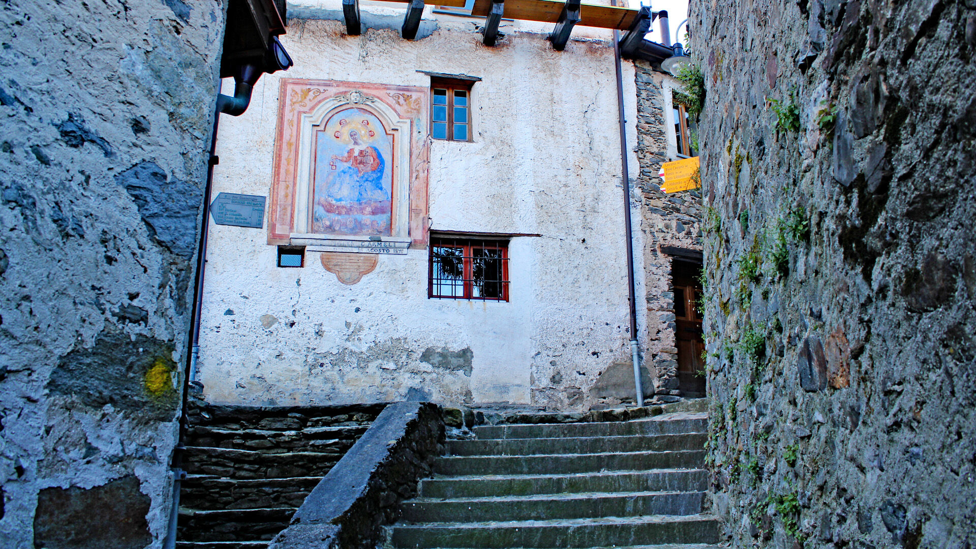


Dirinella-Caviano-Calgiano-Torcetto-Gerra Gambarogno)-Lubie-S.Nazzaro-Vairano-Piazzogna-Fosano-Vira (Gambarogno)-Magadino-Vira-Lido Magadino-Orgnana-Cavriana-Motto Rabello-Quartino-Contone-Cadenazzo, Station
Day hiking backpack (approx. 20 liters) with rain cover
Sturdy and comfortable footwear
Weather-appropriate and durable clothing in layers, if necessary telescopic poles,
Sun and rain protection
Provisions and drinking water,
First aid kit
Pocket knife
Mobile phone, if necessary headlamp,
Map material
From Locarno: Take the boat towards Ascona. Get off at San Nazzaro. Or take the train towards Castione-Arbedo. Get off at Cadenazzo and then take bus B 350 towards Dirinella. Get off at San Nazzaro.
Return from Magadino: Take the boat to Locarno. Or take bus B 350 towards S. Antonino, Centri Commerciali. Get off at Cadenazzo. Take the train towards Locarno. Get off at the station. More information: www.sbb.ch
T1
Vista la sua lunghezza, ca. 23 Km, il sentiero educativo viene proposto in tre tappe.
Získejte přehled
Vždy živě na místě s více než 9 500 webkamerami. bergfex Jako uživatel Pro si nyní můžete zobrazit odpovídající webové kamery pro mnoho prohlídek v aplikaci prohlídky z. Můžete si tak přímo prohlédnout aktuální podmínky.
Oblíbené prohlídky v okolí
-
4.6
Verzasca Dam-Mergoscia-Corippo-Lavertezzo
středníTuristika 13.0 km -
4.6
Giro del ponte tibetano (SwitzerlandMobility 628)
středníTuristika 9.02 km -
4.8
Avegno-Ponte Brolla-Avegno
středníTuristika 8.56 km -
4.5
Revöira Ethnographic Trail (SwitzerlandMobility 629)
středníTuristika 7.97 km -
3.8
Cannobio zu Sant’Aagata
světloTuristika 5.85 km -
4.0
Cardada Bike (SwitzerlandMobility 397)
heavyMountainbike 30.6 km -
5.0
Verzasca Dam-Monti di Motti-Verzasca Dam
středníTuristika 9.31 km -
Cardada-Cimetta-Alpe Vegnasca-Cardada
středníTuristika 6.86 km -
4.5
Klettersteig dei tre signori, Monte Carasso
heavyVia ferrata 4.85 km -
Via Alta Vallemaggia - 1st stage: Cimetta-Capanna Alpe Nimi
heavyTuristika 10.2 km
Pěší turistika a stopování


Nenechte si ujít nabídky a inspiraci pro vaši příští dovolenou
Vaše e-mailová adresa byl přidán do poštovního seznamu.





