Navigace na stránkách
Pořiďte si tuto prohlídku do mobilního telefonu
Mapa
Cancorì Bike (SwitzerlandMobility 383)
heavy
Mountainbike
22.39 km
Naskenujte QR kód a spusťte navigaci v aplikaci bergfex.
QR Code
Pěší turistika a stopování

Cancorì Bike (SwitzerlandMobility 383)

Vzdálenost
22.4 km
Doba trvání
03:00 h
Ascent
879 hm
Hladina moře
541 - 1541 m

Úroveň obtížnosti: S2

Stažení skladby
Mapa
Cancorì Bike (SwitzerlandMobility 383)
heavy
Mountainbike
22.39 km

From the Acquarossa-Comprovasco bus station, cross the inhabited area on the right bank of the Blenio Valley on a fully paved road surface. The route, up to the junction above Largario, follows the first...

Popis

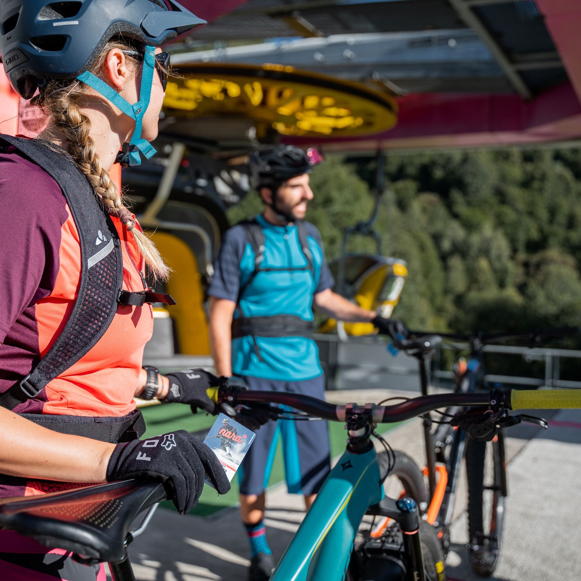
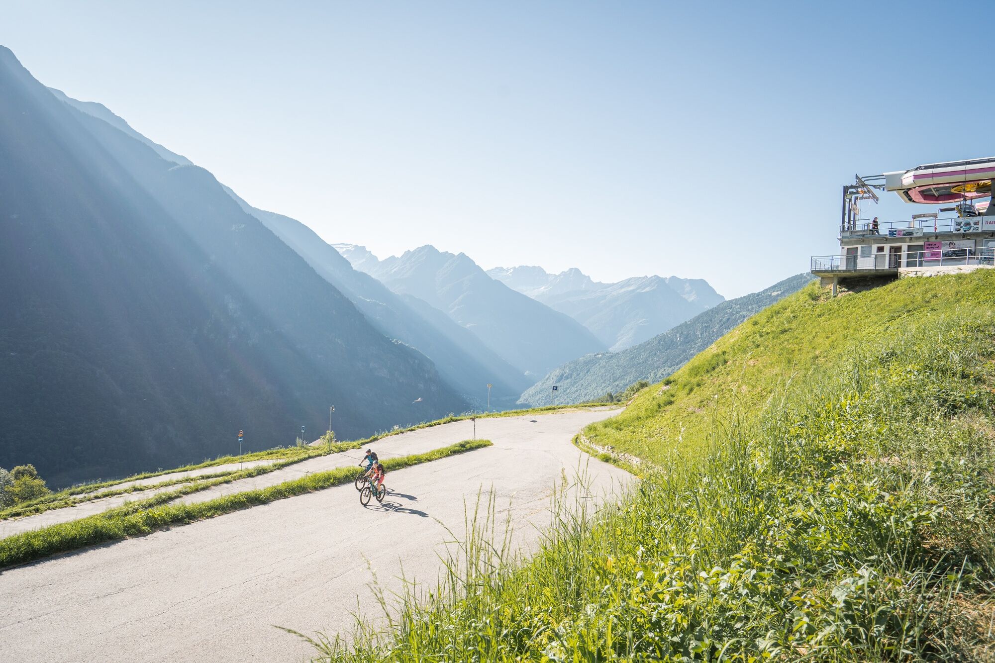
From the Acquarossa-Comprovasco bus station, cross the inhabited area on the right bank of the Blenio Valley on a fully paved road surface. The route, up to the junction above Largario, follows the first stage of cycle path no. 36 "Blenio-Lucomagno" and then takes the third stage of the MTB route no. 65 of the "Gottardo Bike" to Foppa. To more easily overcome this significant elevation, there is also the option to use the chairlift from Leontica to Cancorì. It is advisable to check the operating hours of the lifts in advance (www.nara.ch).
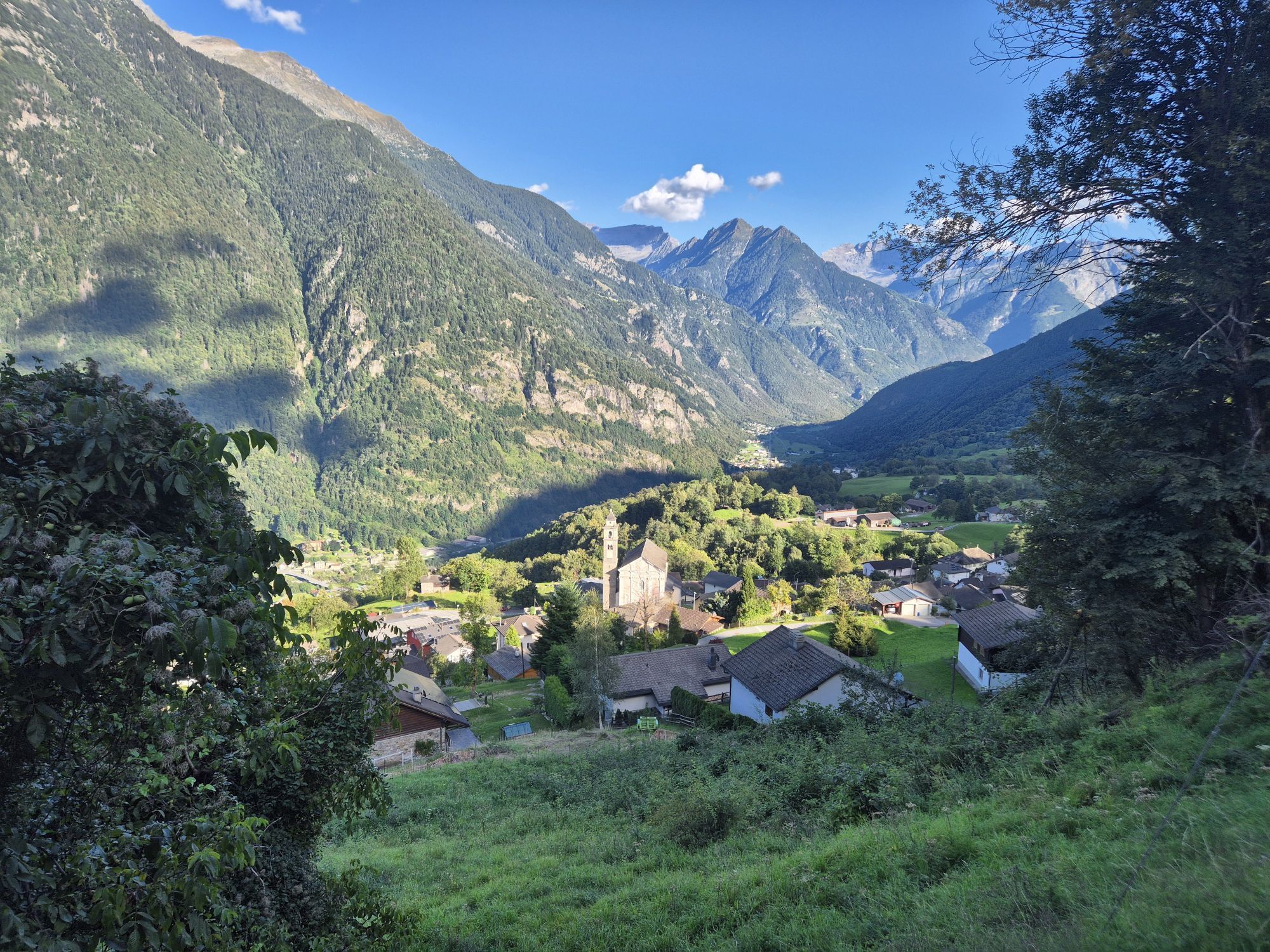
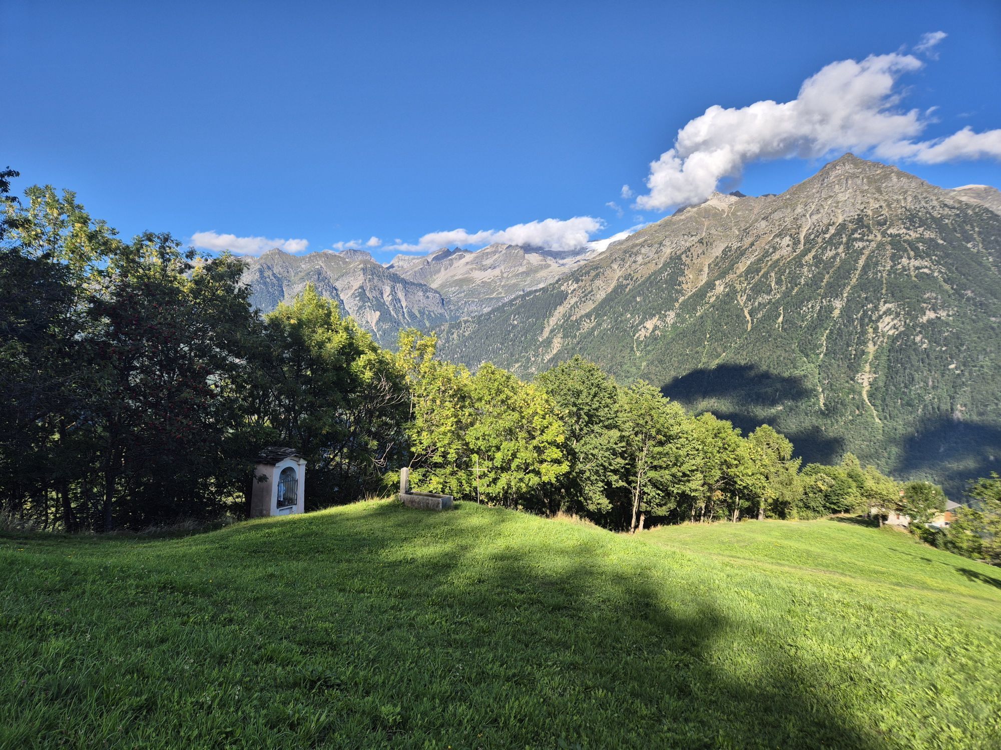
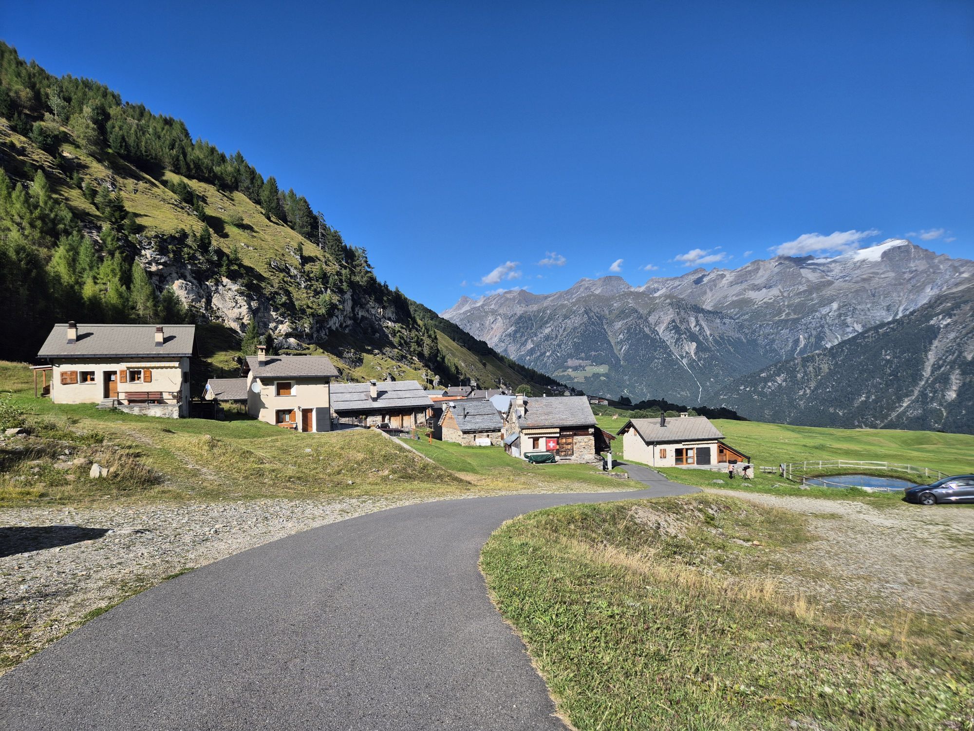
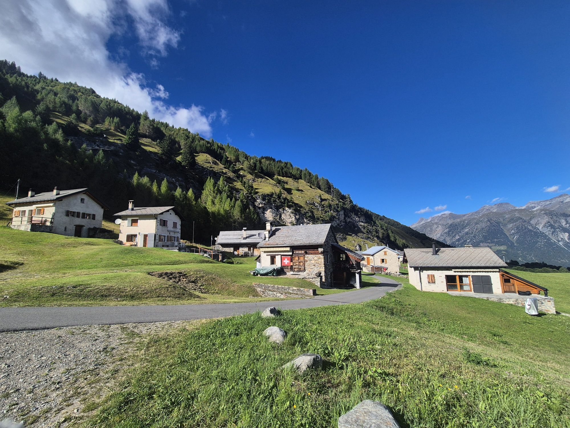
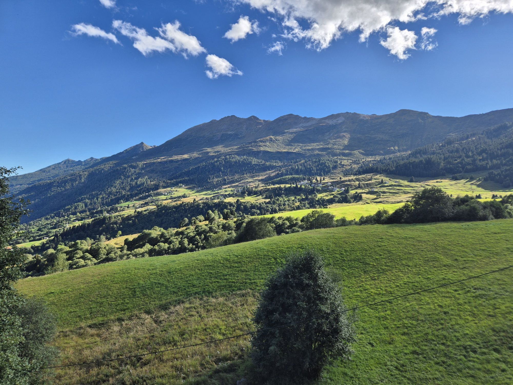
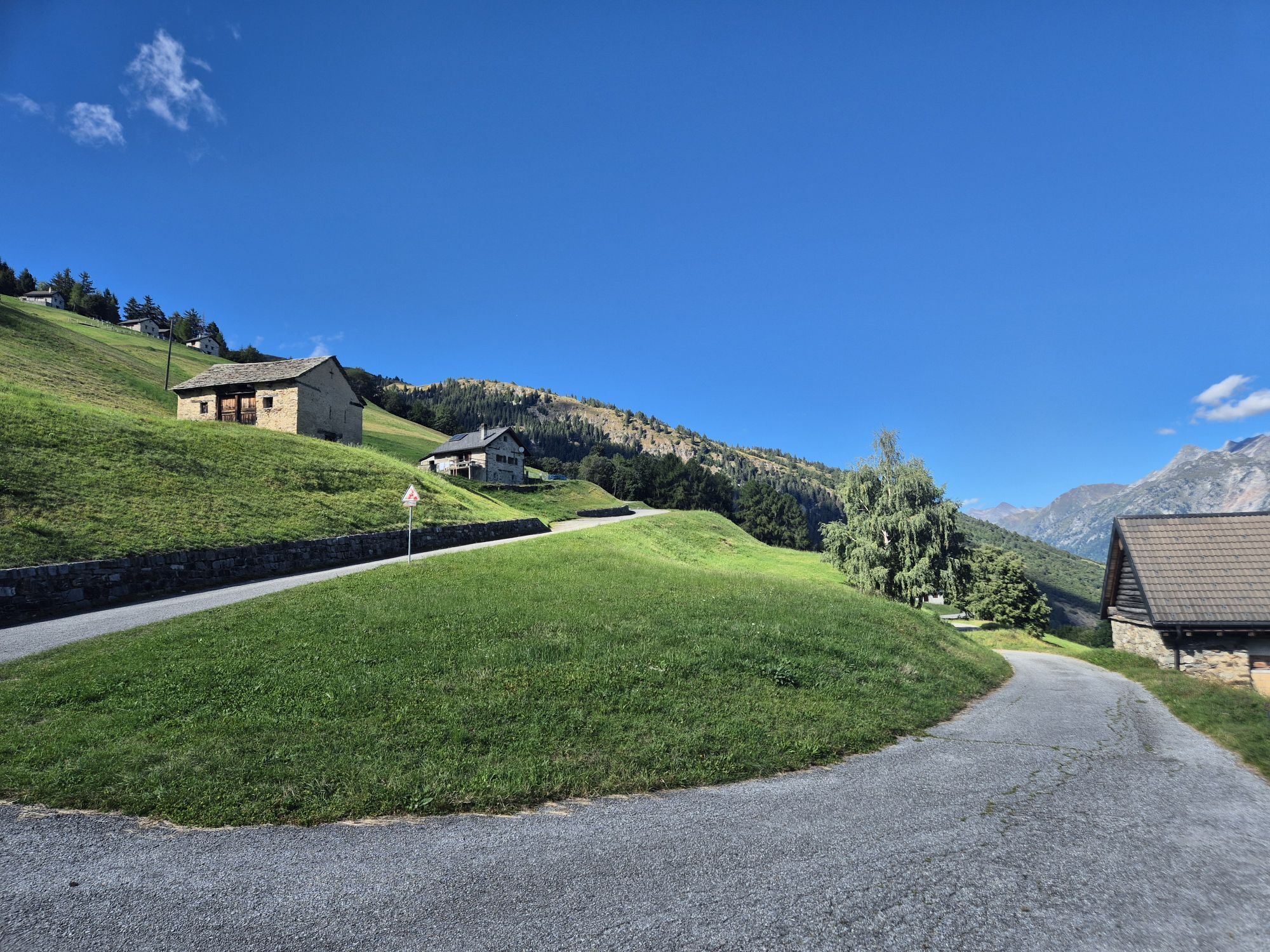
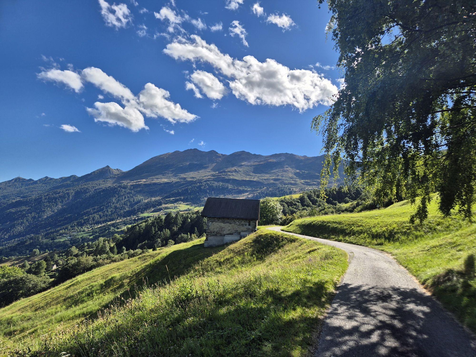
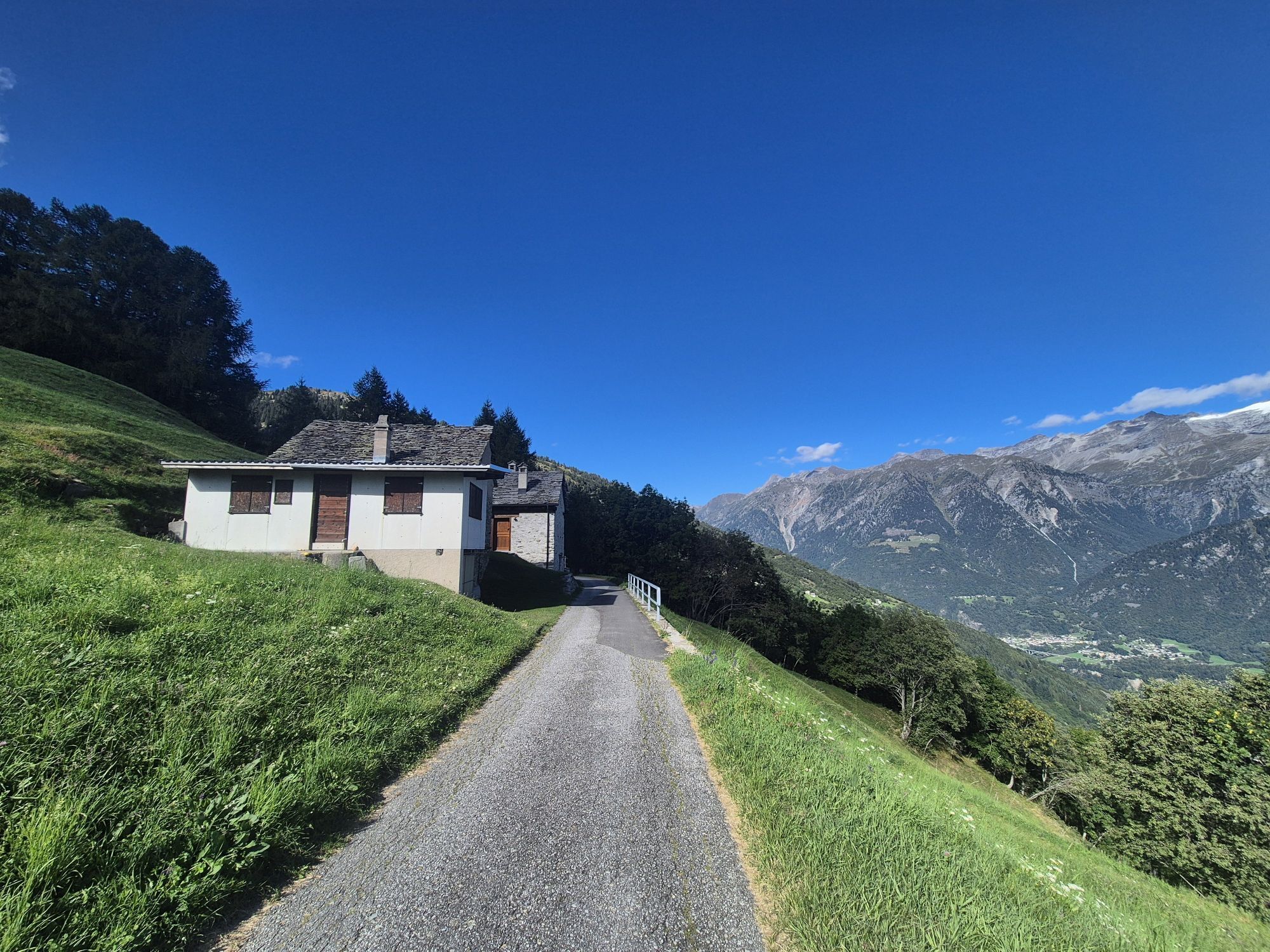
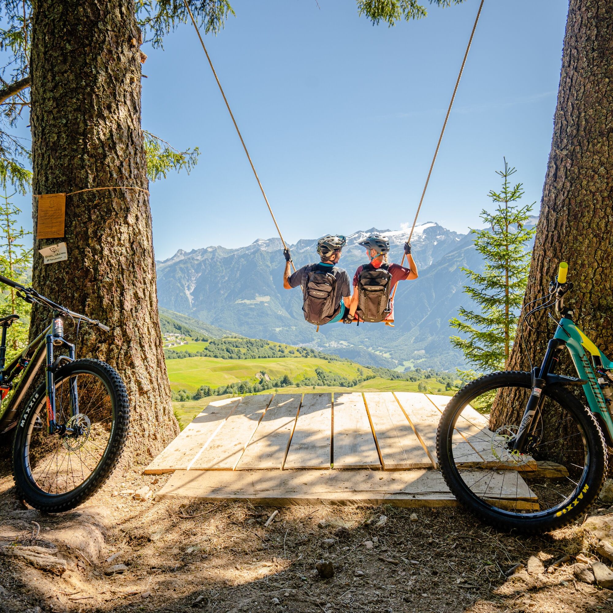
From the wide Nara basin, the view that opens over the entire Blenio valley and the Adula glacier is unmatched. The area is very well exposed to the sun, sheltered from the wind, and features many typical rustic buildings harmoniously integrated into the landscape.
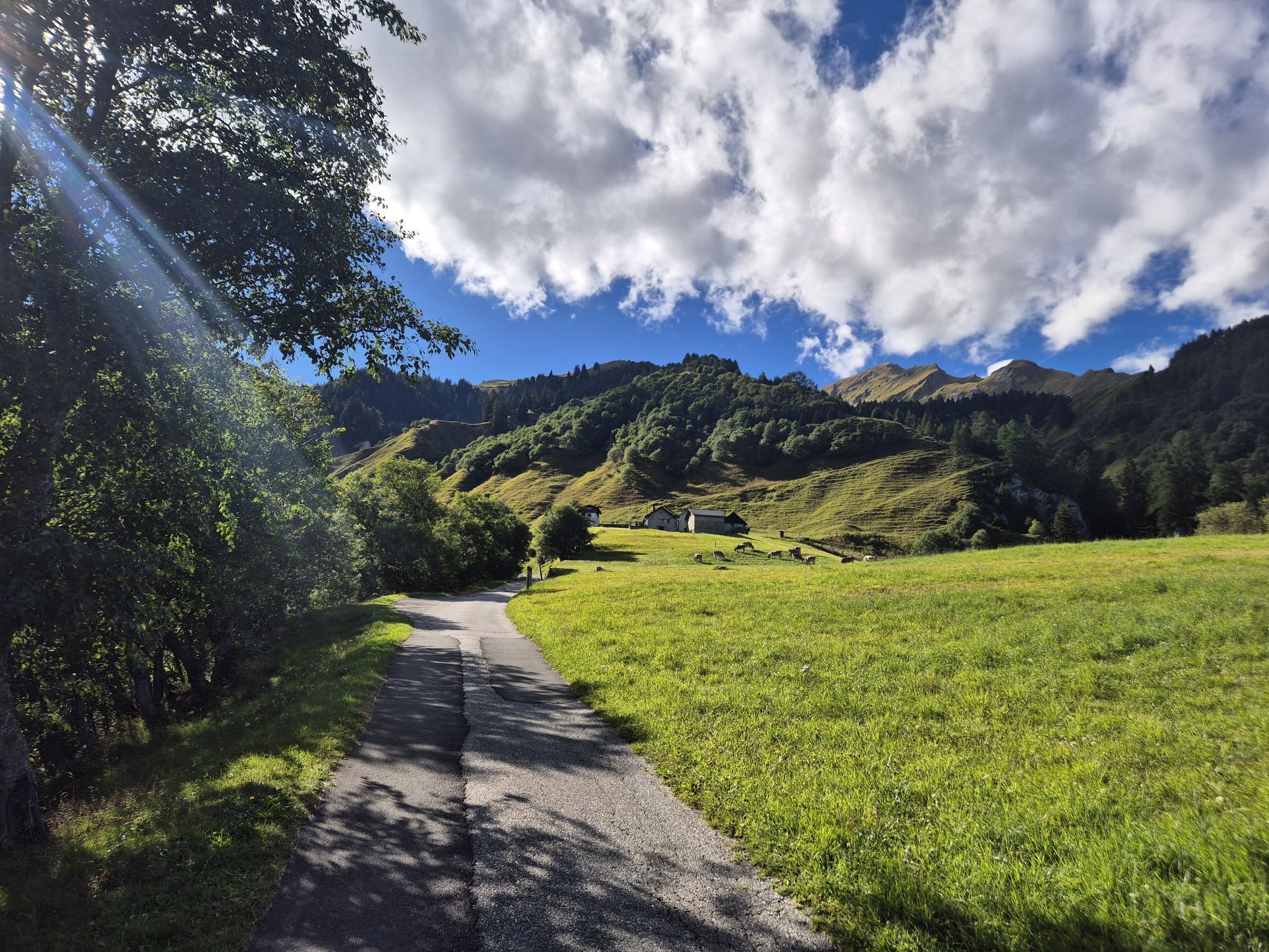
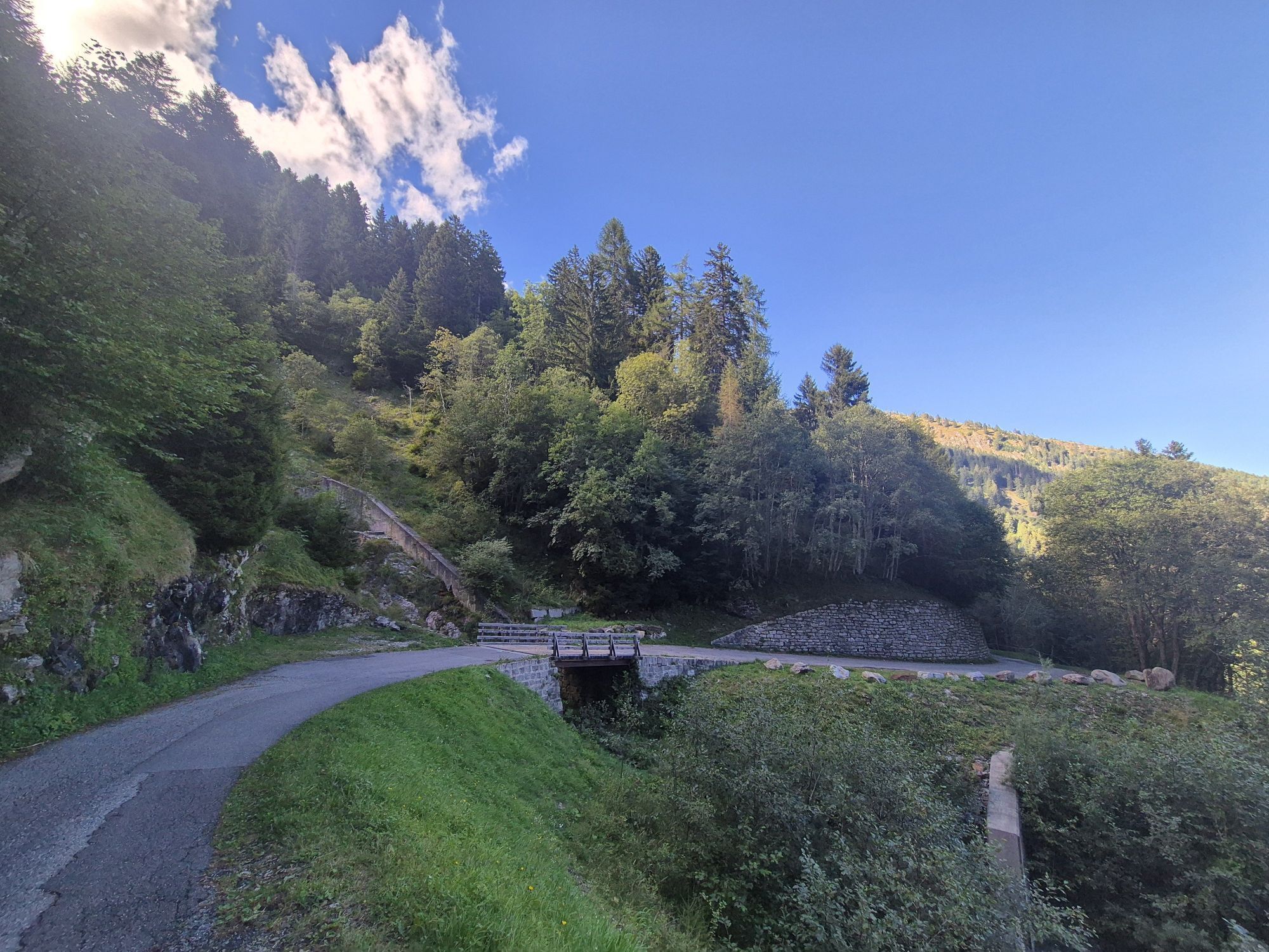
From here, passing through Cancorì, a connection point for other MTB routes where you can find the restaurant and the start of the second chairlift leading to Pian Nara, the descent begins: the singletrail is immersed in vegetation and leads the biker to the picturesque village of Leontica where the Romanesque church of St. Carlo di Negrentino stands. Here you have the choice to return to the chairlift or continue towards the valley floor. In the last part of the descent, there are various technical passages, and in some brief more exposed sections, the biker is advised by special signage to dismount and walk. Throughout the descent, at several points, there are crossings of the open road (though lightly trafficked) requiring caution.

Trasa
Chiesa dei Santi Giacomo, Bartolomeo e Vincenzo di Paola
(553 m)
Místo konání bohoslužeb
0.1 km
Chiesa di San Giorgio
(625 m)
Místo konání bohoslužeb
1.8 km
Chiesa dei Santi Pietro e Paolo
(849 m)
Místo konání bohoslužeb
6.0 km
Largario
(847 m)
Vypořádání
6.1 km
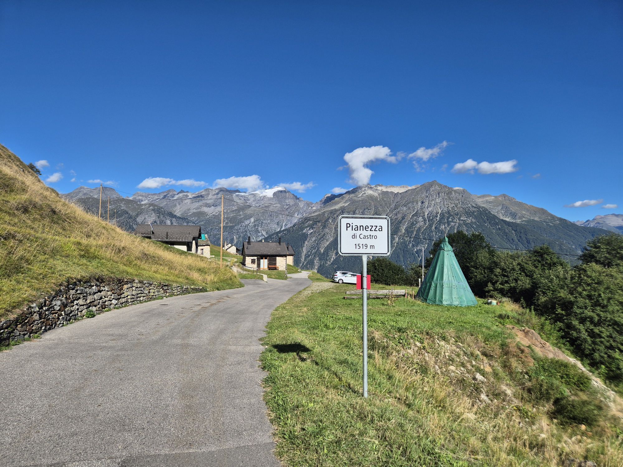
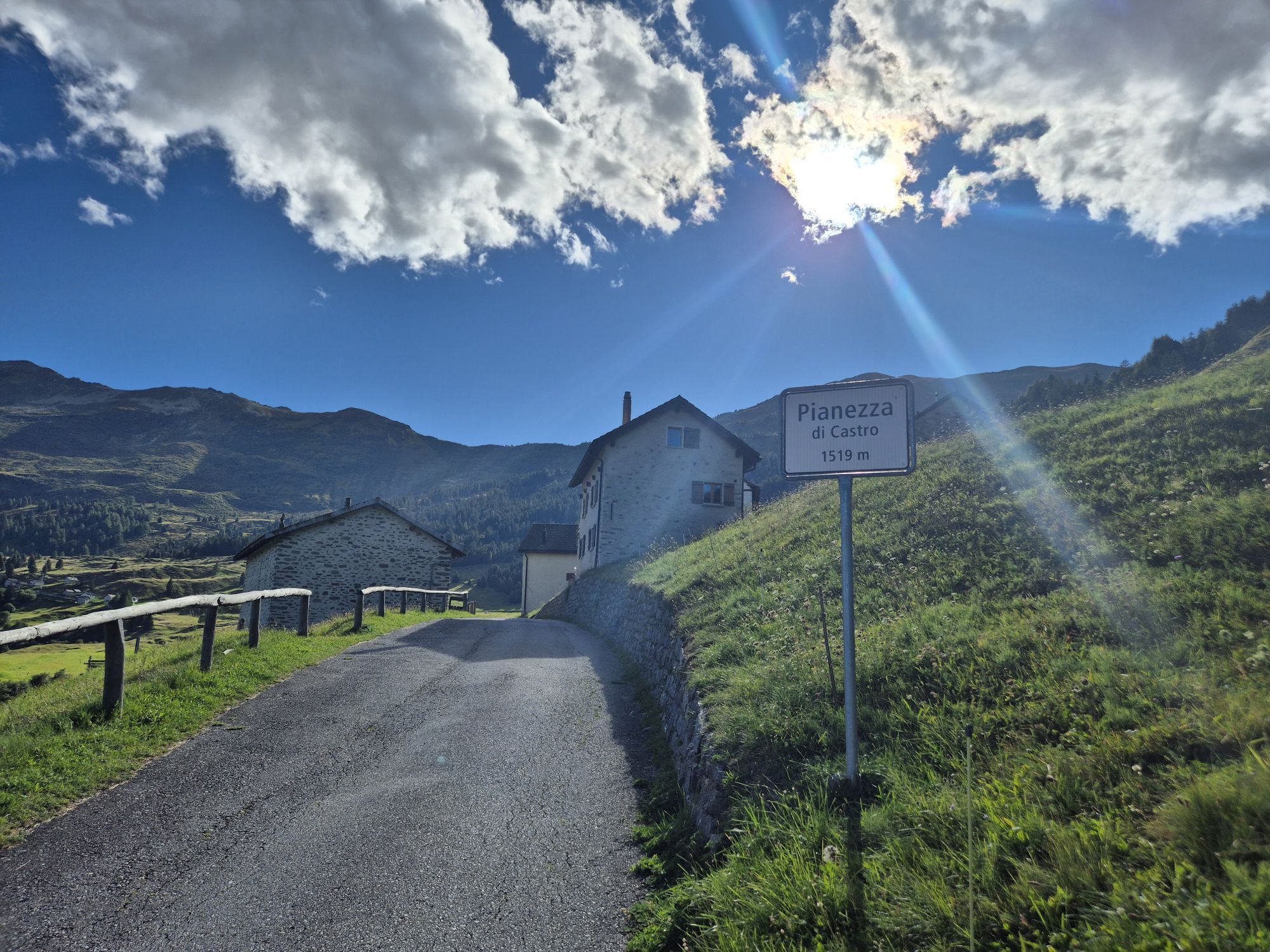
Pianèzza
(1513 m)
Vypořádání
14.3 km
Chiesetta di Santa Elisabetta
(1338 m)
Místo konání bohoslužeb
17.4 km
Chiesa di San Giovanni Battista
(871 m)
Místo konání bohoslužeb
20.0 km
Trasa
Mapa
Cancorì Bike (SwitzerlandMobility 383)
heavy
Mountainbike
22.39 km
Stazione
(536 m)
Restaurace
0.0 km
Acquarossa
(430 m)
Vesnice
0.0 km
Comprovasco
(537 m)
Vypořádání
0.0 km
Cará Comprovasco
(545 m)
Sousedství
0.0 km
Chiesa dei Santi Giacomo, Bartolomeo e Vincenzo di Paola
(553 m)
Místo konání bohoslužeb
0.1 km
Prugiasco
(621 m)
Vesnice
1.1 km
Chiesa parrocchiale di Sant'Ambrogio
(629 m)
Místo konání bohoslužeb
1.2 km
Chiesa di San Giorgio
(625 m)
Místo konání bohoslužeb
1.8 km
Castro
(641 m)
Vesnice
2.3 km
Oratorio di Sant'Antonio da Padova
(650 m)
Místo konání bohoslužeb
2.3 km
Oratorio di Santa Maria Maddalena
(697 m)
Místo konání bohoslužeb
3.7 km
Cappella di Sant'Anna
(713 m)
Místo konání bohoslužeb
3.9 km
Ponto Valentino
(716 m)
Vesnice
4.0 km
Osteria del Ponte
(718 m)
Restaurace
4.2 km
Chiesa di San Martino
(719 m)
Místo konání bohoslužeb
4.4 km
Oratorio di San Francesco Saverio
(719 m)
Místo konání bohoslužeb
4.5 km
Cappella di San Rocco
(831 m)
Místo konání bohoslužeb
5.8 km
Chiesa dei Santi Pietro e Paolo
(849 m)
Místo konání bohoslužeb
6.0 km
Largario
(847 m)
Vypořádání
6.1 km
Brinzosca di Sotto
(953 m)
Koridor/terén
7.4 km
Piansèla
(980 m)
Koridor/terén
7.7 km
Mondra Fondìn
(997 m)
Koridor/terén
7.8 km
Blenio
(1105 m)
Vesnice
8.2 km
Mondra d' Galdìn
(1081 m)
Koridor/terén
8.7 km
Chislee
(1117 m)
Koridor/terén
9.1 km
Chislé
(1111 m)
Koridor/terén
9.2 km
Paré
(1170 m)
Koridor/terén
9.9 km
Tèia
(1224 m)
Koridor/terén
10.6 km
Ardett
(1291 m)
Koridor/terén
11.6 km
La Gana
(1349 m)
Koridor/terén
12.4 km
Töcc Nöu
(1419 m)
Koridor/terén
13.0 km
Mezza Ghiariva
(1396 m)
Koridor/terén
13.1 km
Cresta
(1439 m)
Koridor/terén
13.5 km
Piancra Muncücch
(1424 m)
Koridor/terén
13.6 km
Pian Pianèzza
(1511 m)
Koridor/terén
14.2 km
Pianèzza
(1513 m)
Vypořádání
14.3 km
Pié del Sasso
(1540 m)
Vypořádání
15.0 km
Promesciallo
(1567 m)
Vypořádání
15.1 km
Addi
(1572 m)
Vypořádání
15.7 km
Carale
(1496 m)
Koridor/terén
16.0 km
Cancorì
(1459 m)
Stanice gondoly
16.6 km
La Pernice
(1453 m)
Restaurace
16.6 km
Raira
(1417 m)
Koridor/terén
17.1 km
Chiesetta di Santa Elisabetta
(1338 m)
Místo konání bohoslužeb
17.4 km
Chiesa
(1314 m)
Koridor/terén
17.5 km
Pezza Lunga
(1227 m)
Koridor/terén
17.8 km
Crènn
(1120 m)
Koridor/terén
18.3 km
Cará Valèigia
(900 m)
Koridor/terén
19.3 km
Cará Tuschín
(880 m)
Sousedství
19.5 km
Ristorante Il Larice
(878 m)
Restaurace
19.8 km
Leontica
(868 m)
Vesnice
19.9 km
Chiesa di San Giovanni Battista
(871 m)
Místo konání bohoslužeb
20.0 km
Ristorante Pizzeria Gianora
(858 m)
Restaurace
20.1 km
Cará Stúbia
(852 m)
Sousedství
20.3 km
Prugiasco
(621 m)
Vesnice
20.9 km
Chiesa dei Santi Giacomo, Bartolomeo e Vincenzo di Paola
(553 m)
Místo konání bohoslužeb
22.2 km
Cará Comprovasco
(545 m)
Sousedství
22.3 km
Comprovasco
(537 m)
Vypořádání
22.3 km
Stazione
(536 m)
Restaurace
22.4 km
Acquarossa
(430 m)
Vesnice
22.4 km
Informace o prohlídce

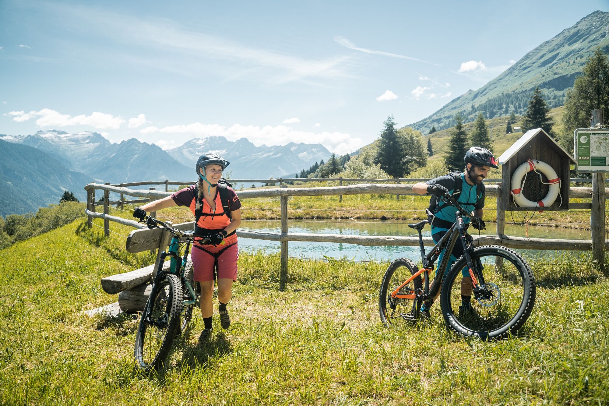
Discovering the Nara amphitheater, better known during the winter season but whose beauty deserves to be enjoyed all year round. The technical and adventurous route, immersed in nature and with a splendid view of the Adula massif, will thrill the most experienced mountain bikers.

Charakter trasy
Zkouška
Technologie
3 / 6
Stav
5 / 6
Krajina
5 / 6
Zkušenosti
4 / 6
Nejlepší roční období
Led
Úno
Bře
Dub
Kvě
Čen
Čec
Srp
Zář
Říj
Lis
Pro
Sdílet prohlídku
Mapa
Cancorì Bike (SwitzerlandMobility 383)
heavy
Mountainbike
22.39 km
Chyba
Došlo k chybě. Zkuste to prosím znovu.
Bezpečnostní pokyny
Wear protective gear Assess your abilities correctly Give way to hikers Stay on the route Close the gates

Careful route planning is the key to enjoying a route. Check in advance the weather and trail conditions at local information centers. Depending on the season and weather conditions, the route may be closed or interrupted.

Informace o příjezdu
Příjezd

Highway A2, exit Biasca then direction Lucomagno until Acquarossa. Alternative: Lucomagno Pass then direction Biasca until Acquarossa.

Veřejná doprava

By bus from Biasca/Olivone to Acquarossa with the nr. 62.131

Parkování

Station Square, Acquarossa-Comprovasco

Další informace a tipy
Úroveň obtížnosti

S2

Tipy

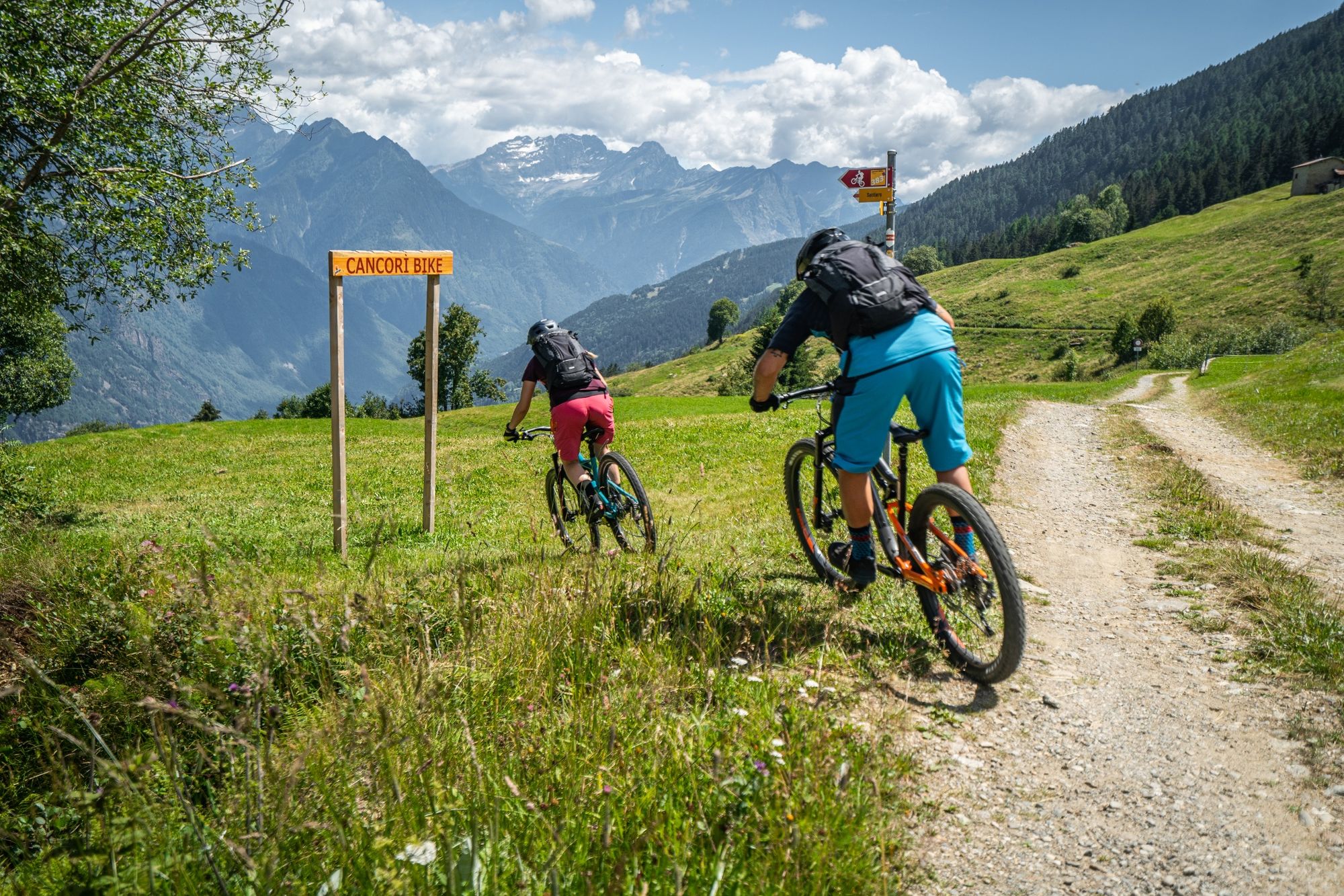
Follow the mountain bike logo shown on the red signs: Cancorì Bike - no. 383

Oceňování
5.0
5
(1)
4
(0)
3
(0)
2
(0)
1
(0)
Napište recenzi

Recenze pomáhají ostatním uživatelům při výběru dalšího dobrodružství. Hodnoťte prosím pouze prohlídku, nikoli počasí nebo svačinu.

Výběrem jedné z hvězdiček ohodnotíte prohlídku
Špatné turné
Slabé turné
Průměrné turné
Dobrá prohlídka
Vynikající prohlídka

Webové kamery z prohlídky

bergfex logo Získejte přehled Vždy živě na místě s více než 9 500 webkamerami. bergfex Jako uživatel Pro si nyní můžete zobrazit odpovídající webové kamery pro mnoho prohlídek v aplikaci prohlídky z. Můžete si tak přímo prohlédnout aktuální podmínky.
Pěší turistika a stopování

Pěší turistika a stopování

Pěší turistika a stopování
Více než 550.000 návrhů výletů, podrobné mapy a intuitivní plánovač tras dělají z aplikace nezbytnou výbavu pro všechny milovníky přírody.
bergfex