







From St. Leonhard to Ochsenalm

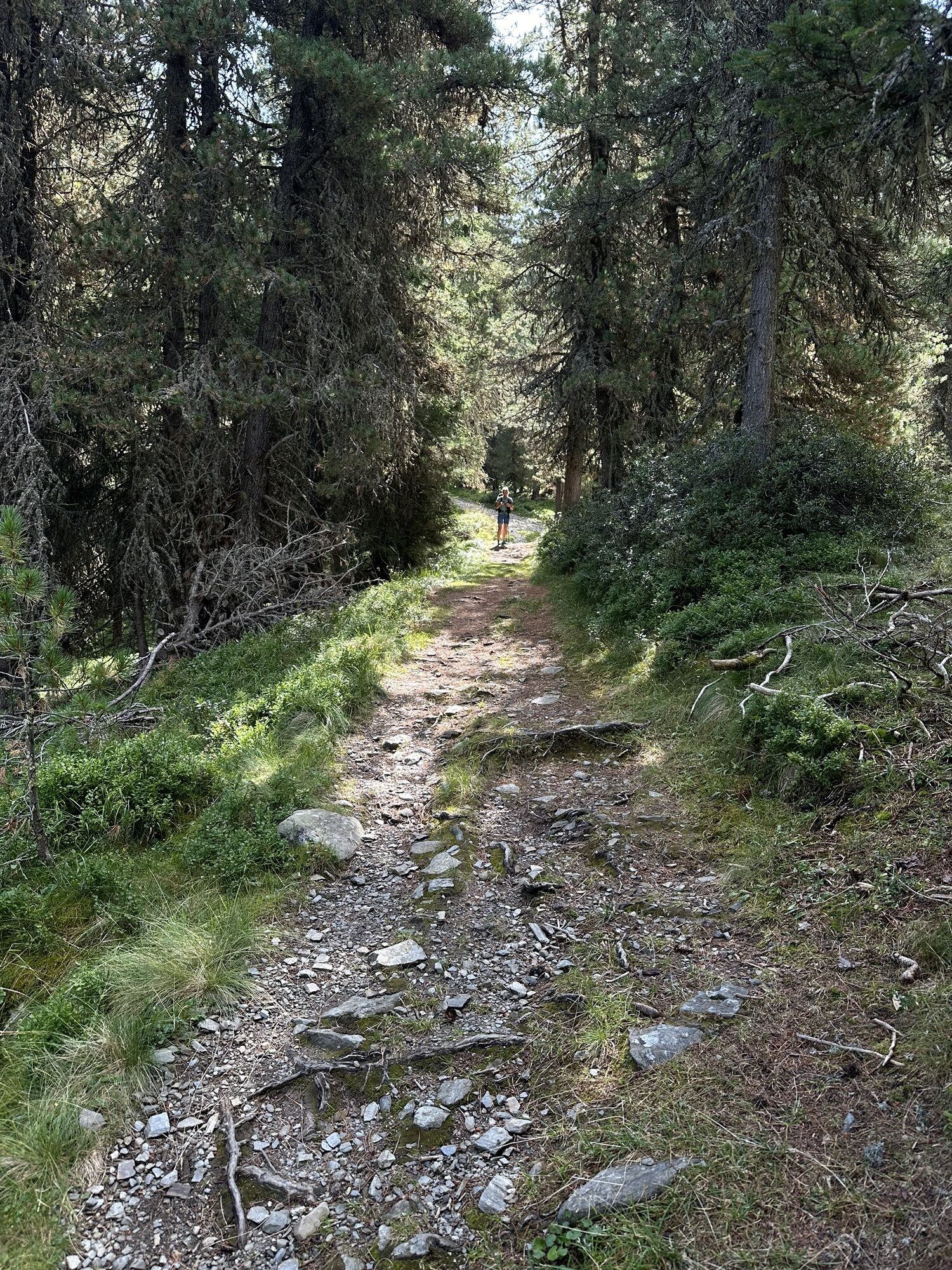
The starting point of the alpine hike is at the Ackerboden hiking parking lot. This can be reached via the narrow road that leads up from St. Leonhard. The hiking trail (marker no. 6) begins below the...
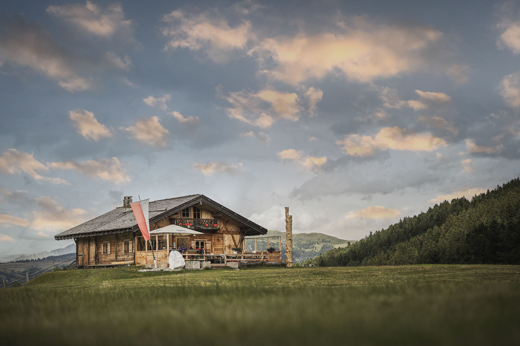
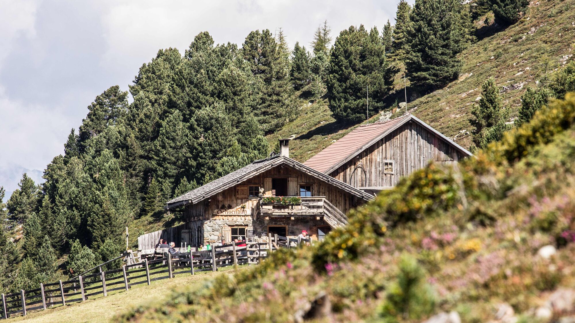
The starting point of the alpine hike is at the Ackerboden hiking parking lot. This can be reached via the narrow road that leads up from St. Leonhard. The hiking trail (marker no. 6) begins below the parking lot and climbs steeply through the dense coniferous forest towards Ackerboden. The view of the surrounding mountains rarely opens up during the first part of the hike. The view only opens up at the first large clearing, in the middle of which lies the rustic Ackerbodenalm (1,762 m). After a short break, continue along the path marked no. 6 until you reach the tree line at around 2,000 m. The forest thins out and you can see deep into the valley to Brixen and soon also the slopes of the Ploseberg. A wide, easy forest path now leads to the Ochsenalm (2,071 m). A stop at the quaint little hut is well worthwhile. The view from the sun terrace is magnificent: you can see Brixen and the Eisack Valley, the Pfunderer mountains, the Sarntal and Zillertal Alps.

Ano

Webové kamery z prohlídky

Oblíbené prohlídky v okolí
-
4.9
Peitlerkofel hiking circuit
středníTuristika 12.9 km -
4.8
The Munkelweg trail beneath the Geisler peaks
středníTuristika 9.11 km -
4.7
Panoramawanderung zum Königsanger und Schutzhaus Radlsee
Turistika 12.0 km -
4.3
The Brixen High Mountain Trail on the Plose Mountain
středníTuristika 10.9 km -
4.5
Three summits tour on the Plose above Brixen
středníTuristika 12.8 km -
4.7
Vom Col Raiser über die Seceda und Pieralongia zur Regensburger Hütte
středníTuristika 10.4 km -
4.4
Seceda und Regensburger Hütte
středníTuristika 14.1 km -
4.7
Raschötz Umrundung
světloTuristika 14.2 km -
4.8
WoodyWalk
Turistika 10.9 km -
4.0
Auf dem Keschtnweg nach Klausen
středníTematická stezka 5.73 km

Pěší turistika a stopování


Nenechte si ujít nabídky a inspiraci pro vaši příští dovolenou
Vaše e-mailová adresa byl přidán do poštovního seznamu.





