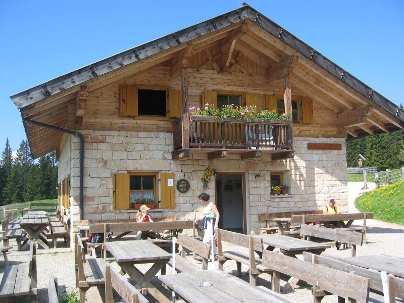
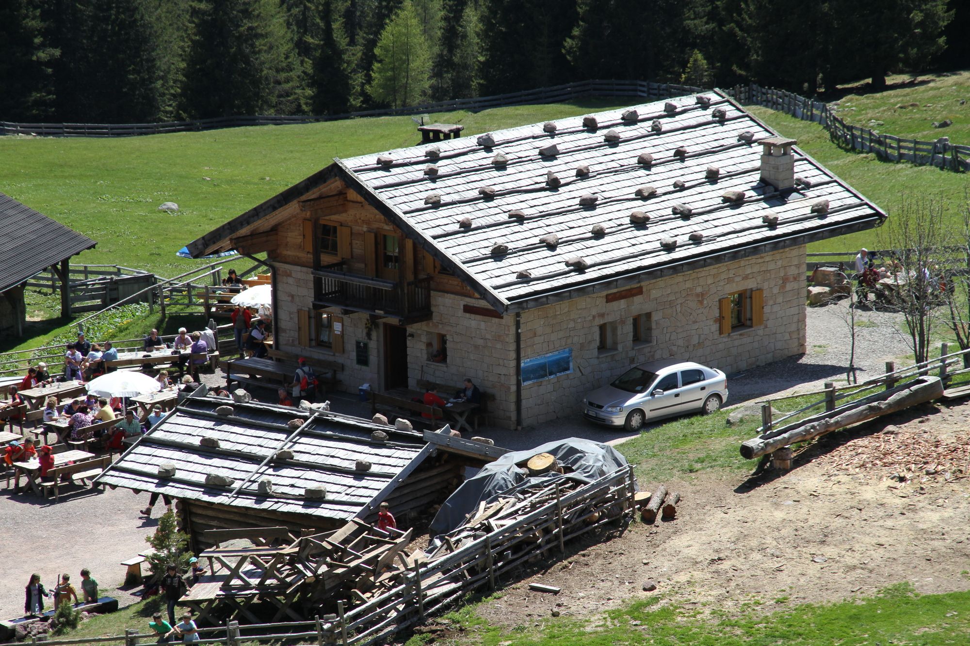
MÖLTNER KASER
střední
Pořiďte si tuto prohlídku do mobilního telefonu
MÖLTNER KASER
střední
Turistika
2.00
km
Naskenujte QR kód a spusťte navigaci v aplikaci bergfex.

Pěší turistika a stopování


MÖLTNER KASER
střední
Vzdálenost
2.00
km
Doba trvání
-
h
Ascent
621
hm
Hladina moře
-
m
Stažení skladby
MÖLTNER KASER
střední
Turistika
2.00
km
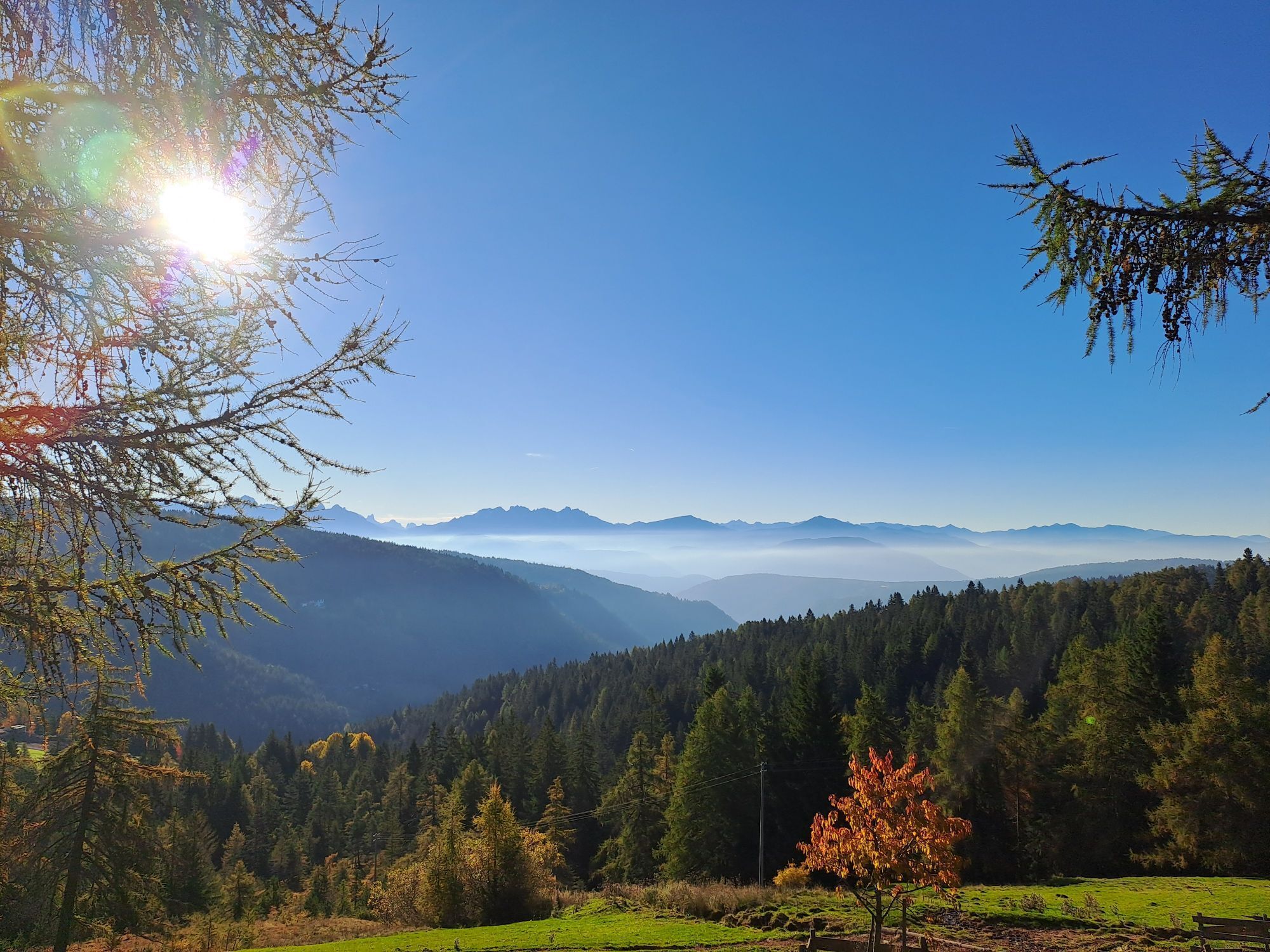
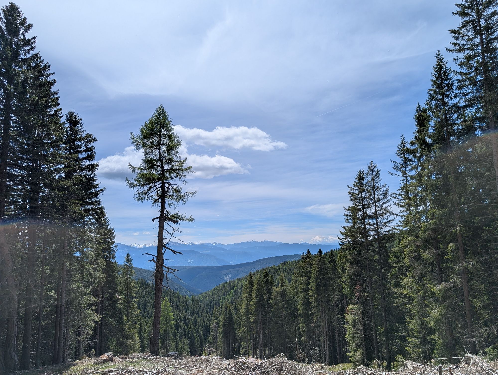
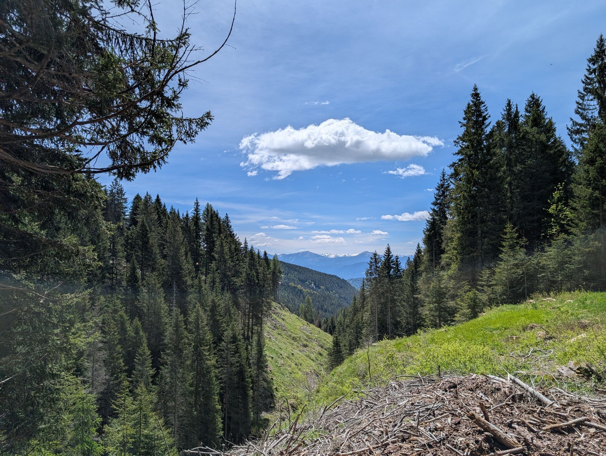
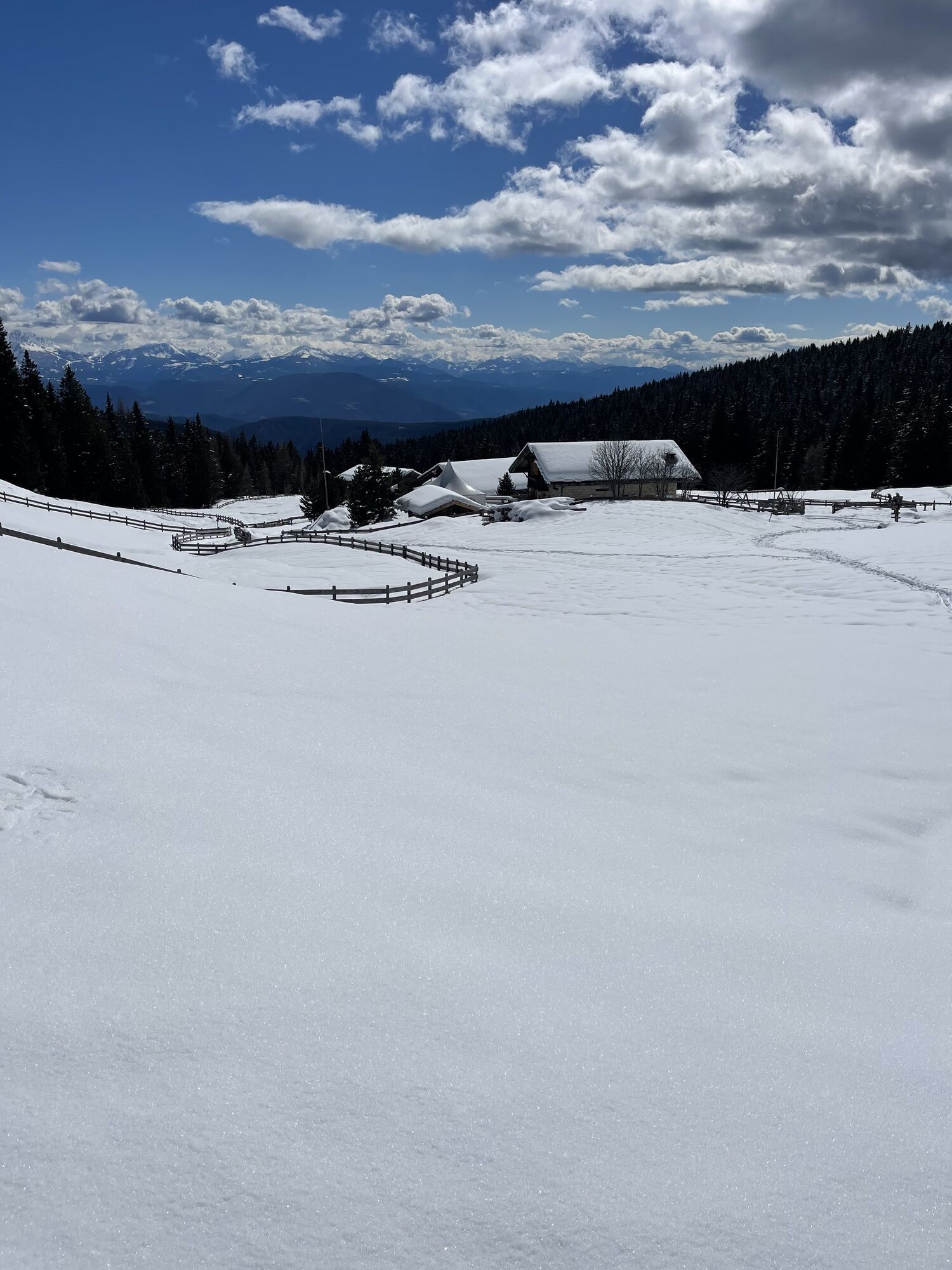
- From the car park Schermoos above Mölten, the E-5 past the small lake "Farer Weiher". You reach the Möltner Kaser in about two hours - From the Kircheben car park above Mölten, take path no. 15. First...
Popis
- From the car park Schermoos above Mölten, the E-5 past the small lake "Farer Weiher". You reach the Möltner Kaser in about two hours
- From the Kircheben car park above Mölten, take path no. 15. First you reach the Sattler Hütte then the Möltner Kaser in about two hours.
- From the Kampidell car park via path no. 5 to Jenesier-Jöchl, from there via path no. 28 to Möltner Kaser.
- From the Grünerbaum car park to the Leadner Alm via path no. 16, then via paths no. 11 and then no. 15 to the Möltner Kaser.
Informace o trase
Vhodné pro kočárky
Ano
Vhodné pro seniory
Ano
Vhodné pro invalidní vozíky
Ano
Vhodné pro rodiny
Ano
Lesní oblast
Ano
Oceňování
Oblíbené prohlídky v okolí
-
4.9
Hirzer Almenrunde
světloHorská turistika 9.02 km -
4.6
Meran Tappeinerweg
světloTuristika 6.77 km -
4.6
SÜDTIROL | Kratzbergersee Meran 2000
světloTuristika 10.3 km -
4.6
Schenna Waalweg vom Prinz Rudolf
středníTuristika 10.4 km -
4.5
Meran Dorf Tirol Algund u zurück
světloTuristika 14.5 km -
4.7
Ritten, Klobenstein nach Oberbozen, Erdpyramiden und zurück
světloTuristika 15.7 km -
4.5
Ifingerhütte
středníTuristika 7.61 km -
4.1
Gaulschlucht + Ausblick Schloss Braunsberg
světloTuristika 2.99 km -
4.7
Wunderschöne Wanderung von Schermoos über die Langfenner Wiesen und den Salten
světloTuristika 11.7 km -
4.8
Marling - Marlengo - Meran - Merano - Lana
světloTuristika 6.93 km
Pěší turistika a stopování

Více než 550.000 návrhů výletů, podrobné mapy a intuitivní plánovač tras dělají z aplikace nezbytnou výbavu pro všechny milovníky přírody.

Nenechte si ujít nabídky a inspiraci pro vaši příští dovolenou
Přihlaste se k odběru newsletteru
Chyba
Došlo k chybě. Zkuste to prosím znovu.
Děkujeme za vaši registraci
Vaše e-mailová adresa byl přidán do poštovního seznamu.
Zájezdy po celé Evropě
Rakousko
Švýcarsko
Německo
Itálie
Slovenia
Francie
Nizozemsko
Belgie
Polsko
Lichtenštejnsko
Česko
Slovensko
Španělsko
Chorvatsko
Bosna a Hercegovina
Lucembursko
Andorra
Portugal
Iceland
United Kingdom
Ireland
Greece
Albania
North Macedonia
Malta
Norway
Montenegro
Moldova
Kosovo
Hungary
San Marino
Romania
Estonia
Latvia
Belarus
Cyprus
Lithuania
Serbia
Bulgaria
Monaco
Denmark
Sweden
Finland