


Trekking of the ancient lakes - Day 1
Úroveň obtížnosti: T1
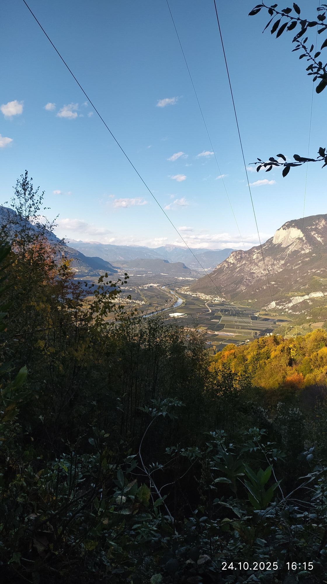
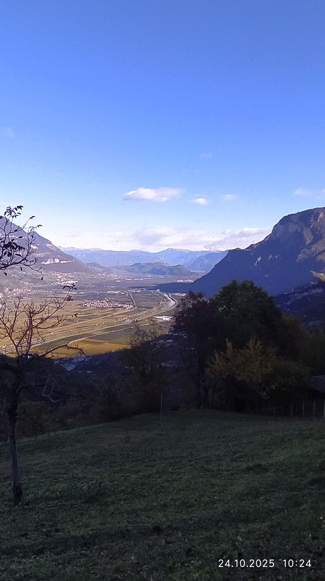
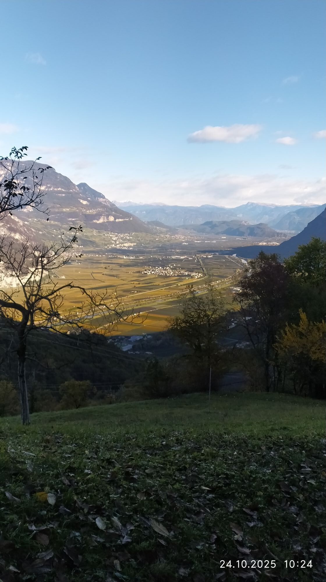
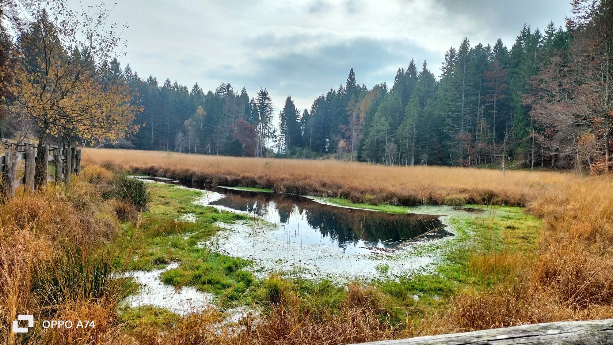
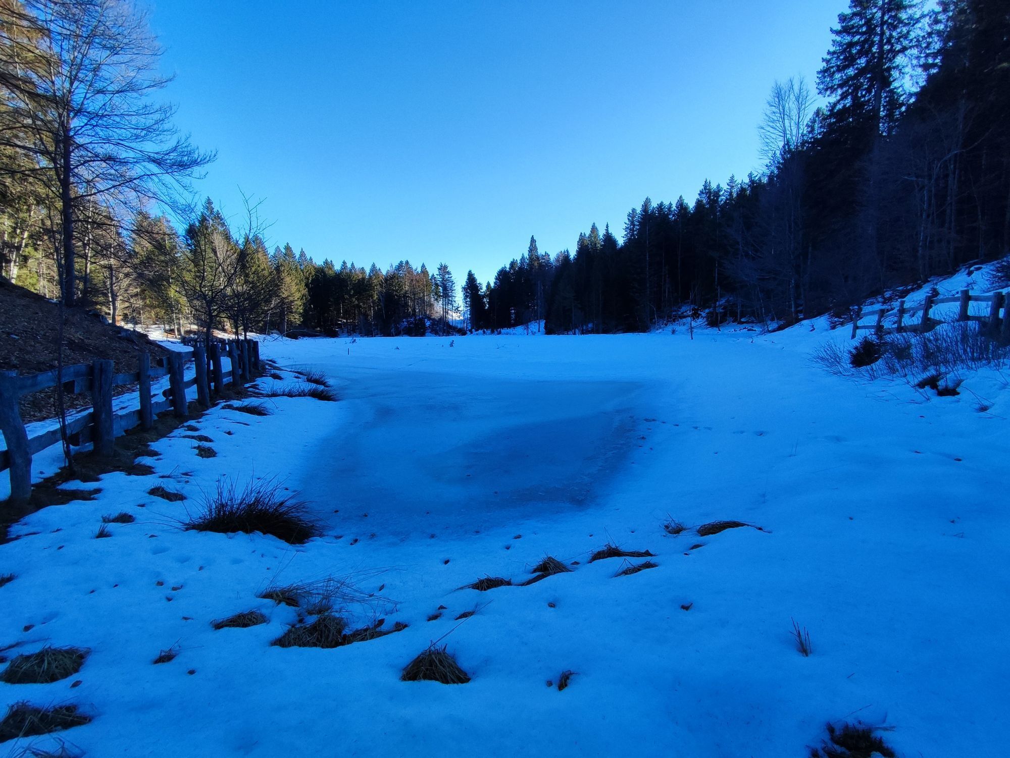

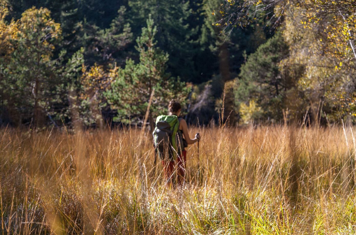
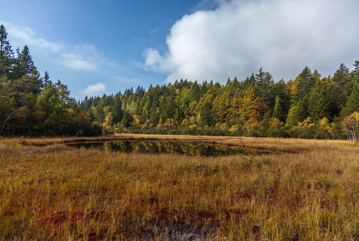
The proposed path leads you to the discovery of something special, something unusual. You will not encounter rock towers or inviolate peaks, but something smaller and perhaps less conspicuous, but just...
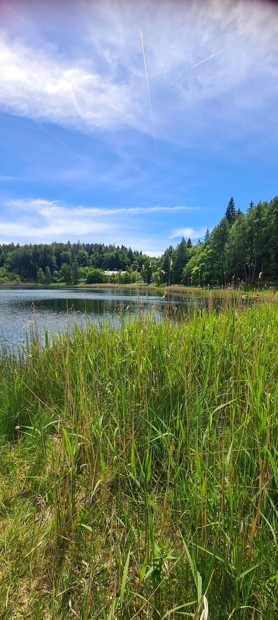
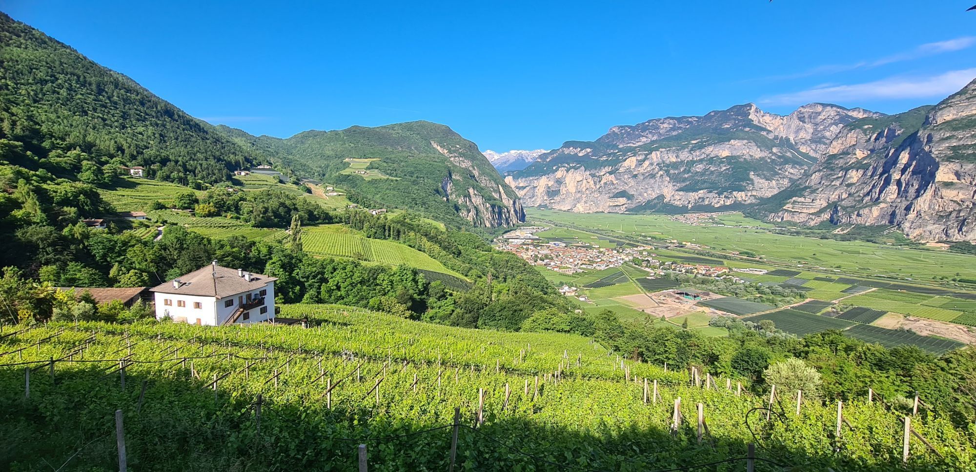
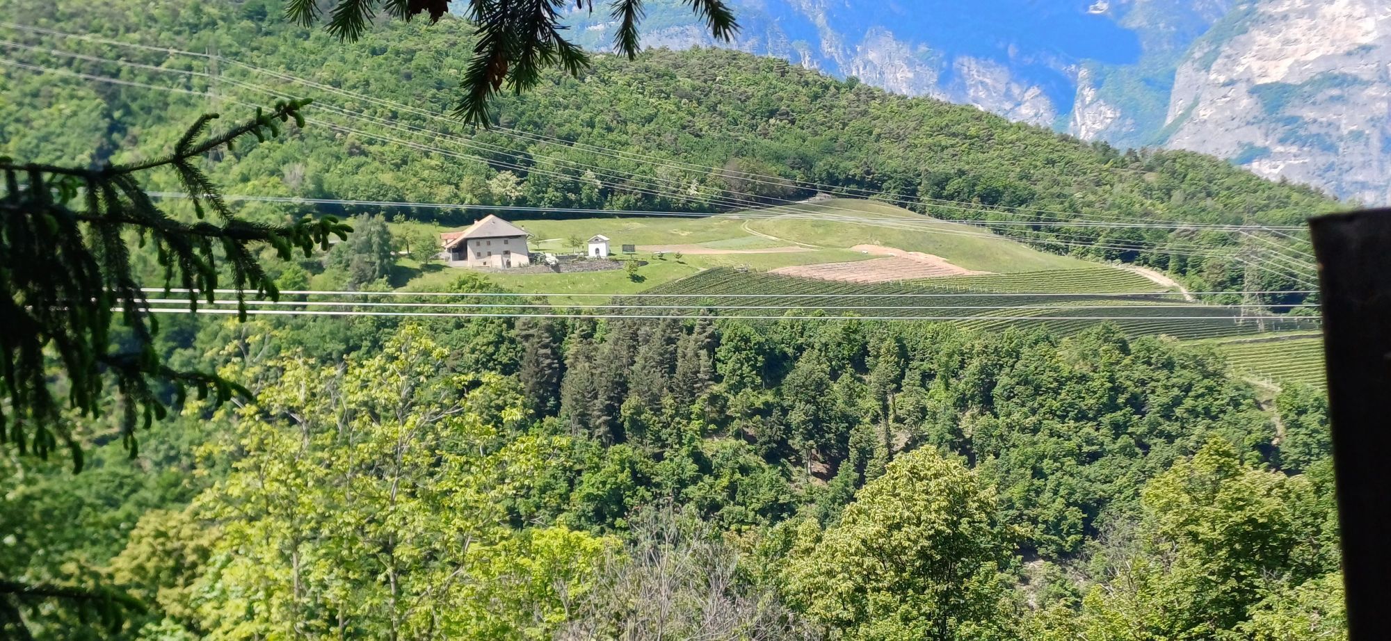
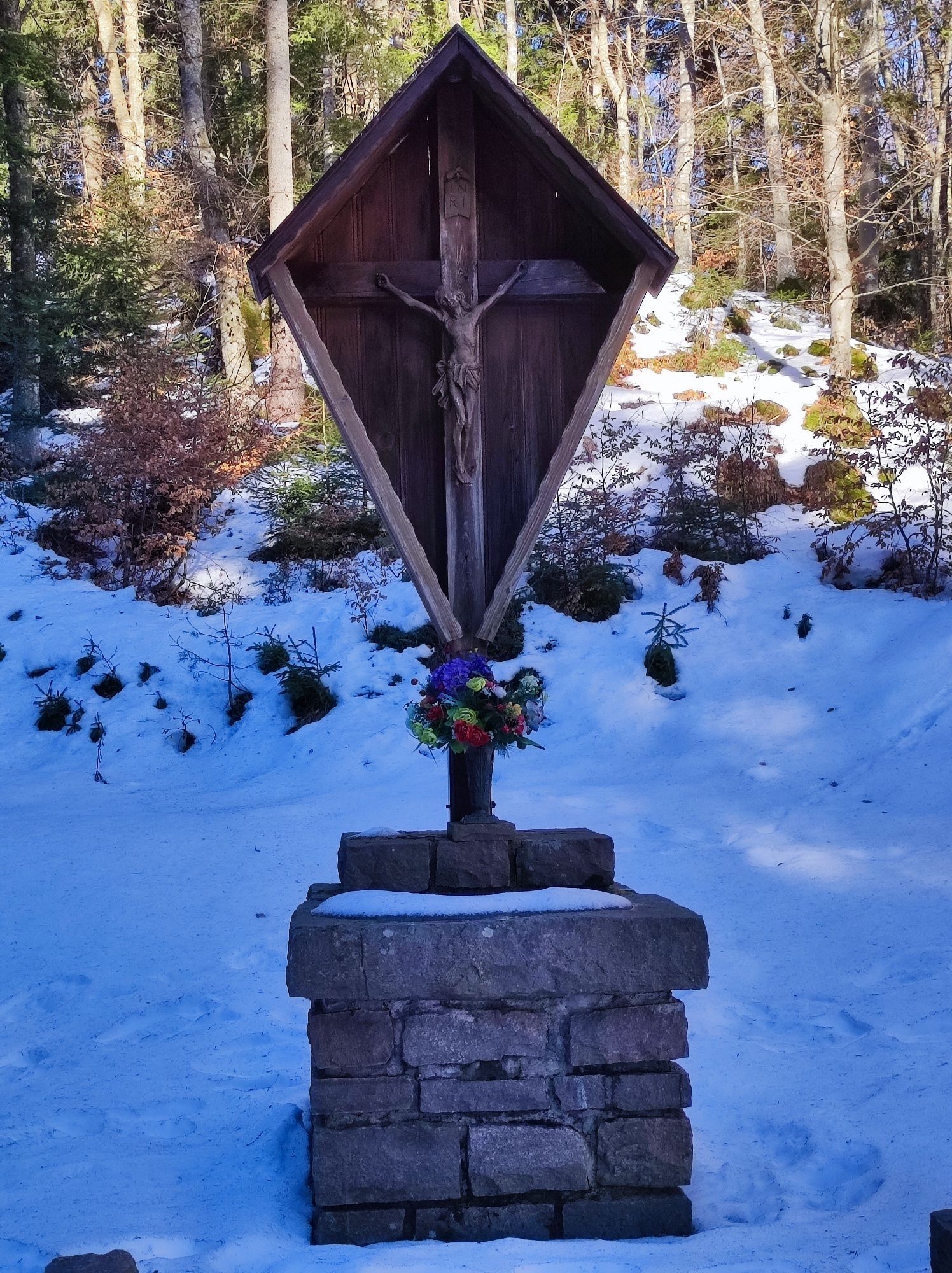
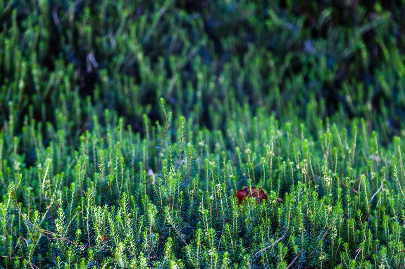
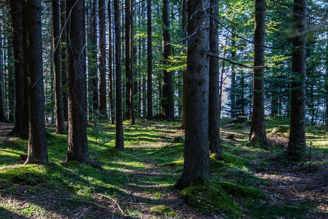
The proposed path leads you to the discovery of something special, something unusual. You will not encounter rock towers or inviolate peaks, but something smaller and perhaps less conspicuous, but just as precious. You will be surrounded by the forests that separate the Adige Valley from the Cembra Valley; an area that straddled two worlds even in Roman times. You will encounter witnesses of the past and present of this mountain, first and foremost the peat bogs, ancient lakes of glacial origin where the peat has progressively reduced the water surface, creating an environment incredibly favourable to biodiversity. In addition, there are mills and boundary stones that narrate forgotten events. At the end of the day, you will find the warmth of the refuge: a plate of soup and a glass of wine will help you to cheerfully remember what happened during the day and to dream about the next day's stage.
This itinerary it's designed and built from Sviluppo Turistico Grumes feat Rete di Riserve Valle di Cembra - Avisio, the Natural Park of Monte Corno, the subject of touristic promotion and numerous provate operators.
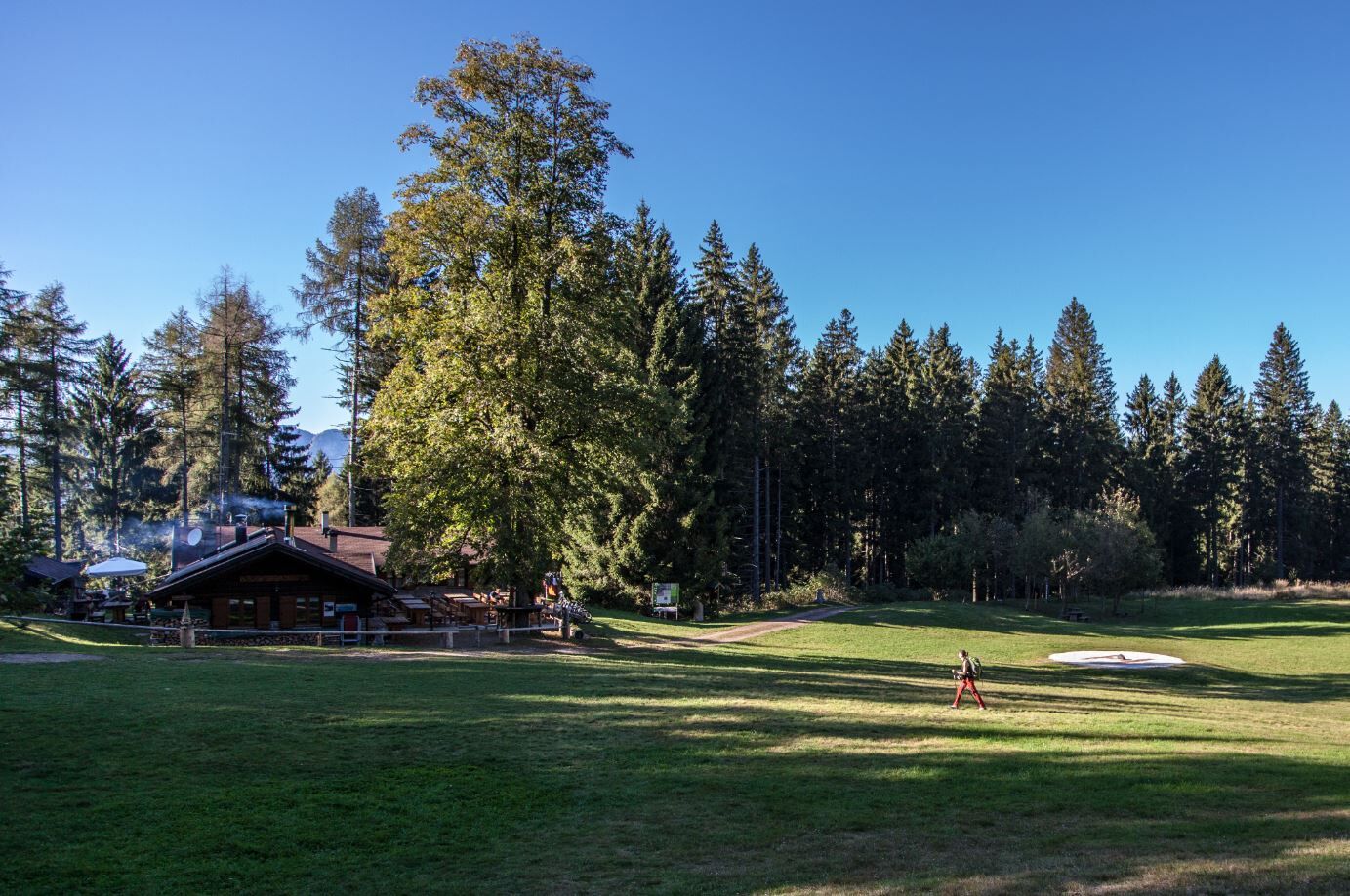
STAGE 1 (from Pochi di Salorno to Rifugio Potzmauer)
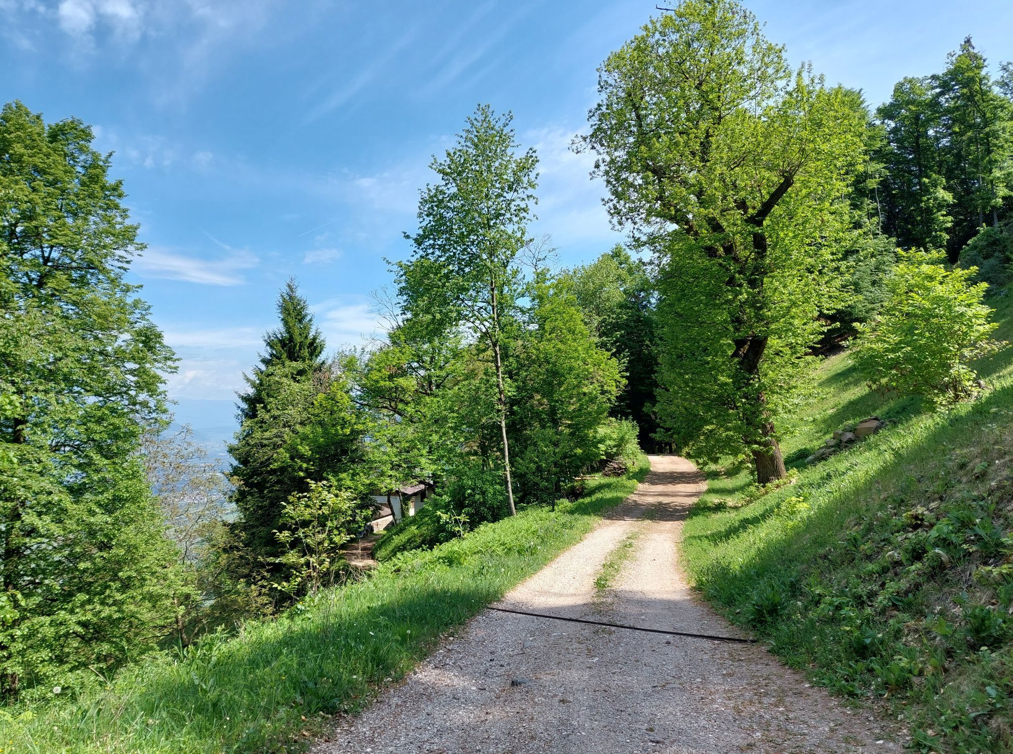
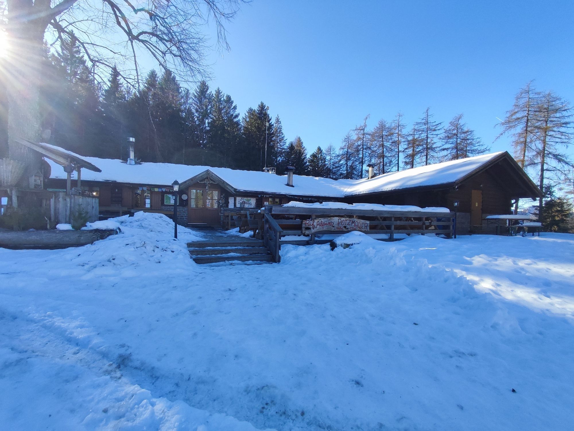
From the car park in Pochi (m. 563), located near the church, follow the Dürer Trail and the signs for the Sauch Hut. You descend through woods and meadows on paved side roads for about 30 minutes. You then climb along path no. 1 until you reach the Sauch Hut (946m). From here, on a dirt road following the signpost for Lago Santo (No. 409), you flank the Roccolo and shortly afterwards reach the Croccola pass. Continue left uphill through a fir forest (marker No. 409), first reaching ‘le Pozze’ and then, keeping to the right (No. 409A), the Lagabrun reserve. Then continue on path no. 414 which leads to Lago Santo (1,206 m). Behind the hut, take the road (E5/ 415/S.I.) that climbs to the Vegiose meadows and after approx. 3 km you reach the Passo Zise. Here, descend on a paved road carved into the mountainside towards Ponciach (No. 415A) to the junction with the botanical path. Continue left in the direction of Lago di Valda (Prati di Monte), which can be reached in an hour. Finally, descend along the forest road following the signs E5/ No. 415/ Rifugio Potzmauer until you reach Rifugio Potzmauer (1,282m).
Rifugio Potzmauer - Tel +39 347 2251788 - rifugiopotzmauer@gmail.com
Hiking shoes, rain-jacket, hiking poles, water, snack and sun cream.
Everything needed for overnight stays in the mountain huts.
THE 10 RULES FOR HIKERS
Prepare your itinerary beforehand Choose an itinerary that suits your physical abilities Choose suitable clothes and equipment Check the weather forecast Hiking by yourself is more risky; if this is the case, take a mobile phone with you Leave information about your itinerary and your expected return time If you are not sure about your itinerary, contact an Alpine Guide Pay attention to signposts and directions that you find along your way Do not hesitate in going back if you feel too tired In case of emergency call 112From Trento take the A22/E45 exit at San Michele/Mezzocorona, take the SS12 state road to Salorno towards Bolzano. Cross the village of Salorno along Via Roma and continue along the SP129 until you reach the village of Pochi.
All information on the website of SAD (transport Province of Bolzano): www.sad.it/it and Trentino Trasporti (transport Province of Trento): www.trentinotrasporti.it/
In Buchholz, in der Nähe der Kirche
T1
Ufficio Turistico Cembra - Tel. +39 0461 683110 - info@visitvaldicembra.it – www.visitvaldicembra.it
Oblíbené prohlídky v okolí
- 4.8
Burrone Klettersteig (B)
Via ferrata 4.30 km - 3.4
Rio Secco (D)
Via ferrata 2.42 km - 4.8
Malga Cislon
středníTuristika 9.37 km - 5.0
Auf den Hügel Castelfeder
světloTuristika 3.10 km - 4.2
Tramin - Lochweg nach Graun
světloTuristika 9.59 km - 3.7
Rund um den Castelfelder
světloTuristika 6.68 km Malga Monte Corno
středníTuristika 10.3 km- 4.7
Klettersteig Val del Ri
středníVia ferrata 4 km - 5.0
From Cembra to Lago Santo
světloTuristika 13.8 km - 4.5
Klettersteig Fennberg
světloVysokohorská turistika 11.6 km
Pěší turistika a stopování


Nenechte si ujít nabídky a inspiraci pro vaši příští dovolenou
Vaše e-mailová adresa byl přidán do poštovního seznamu.