


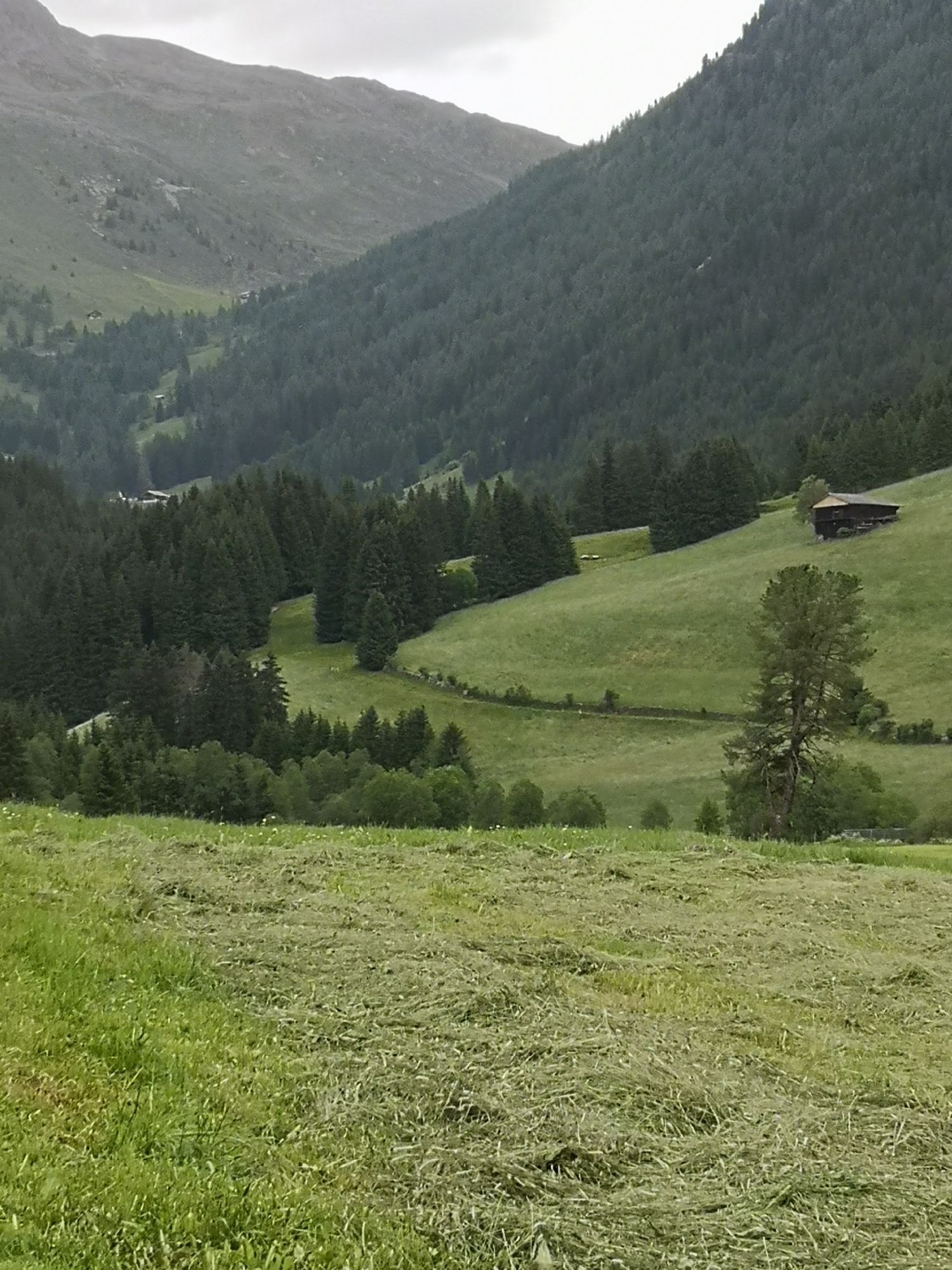
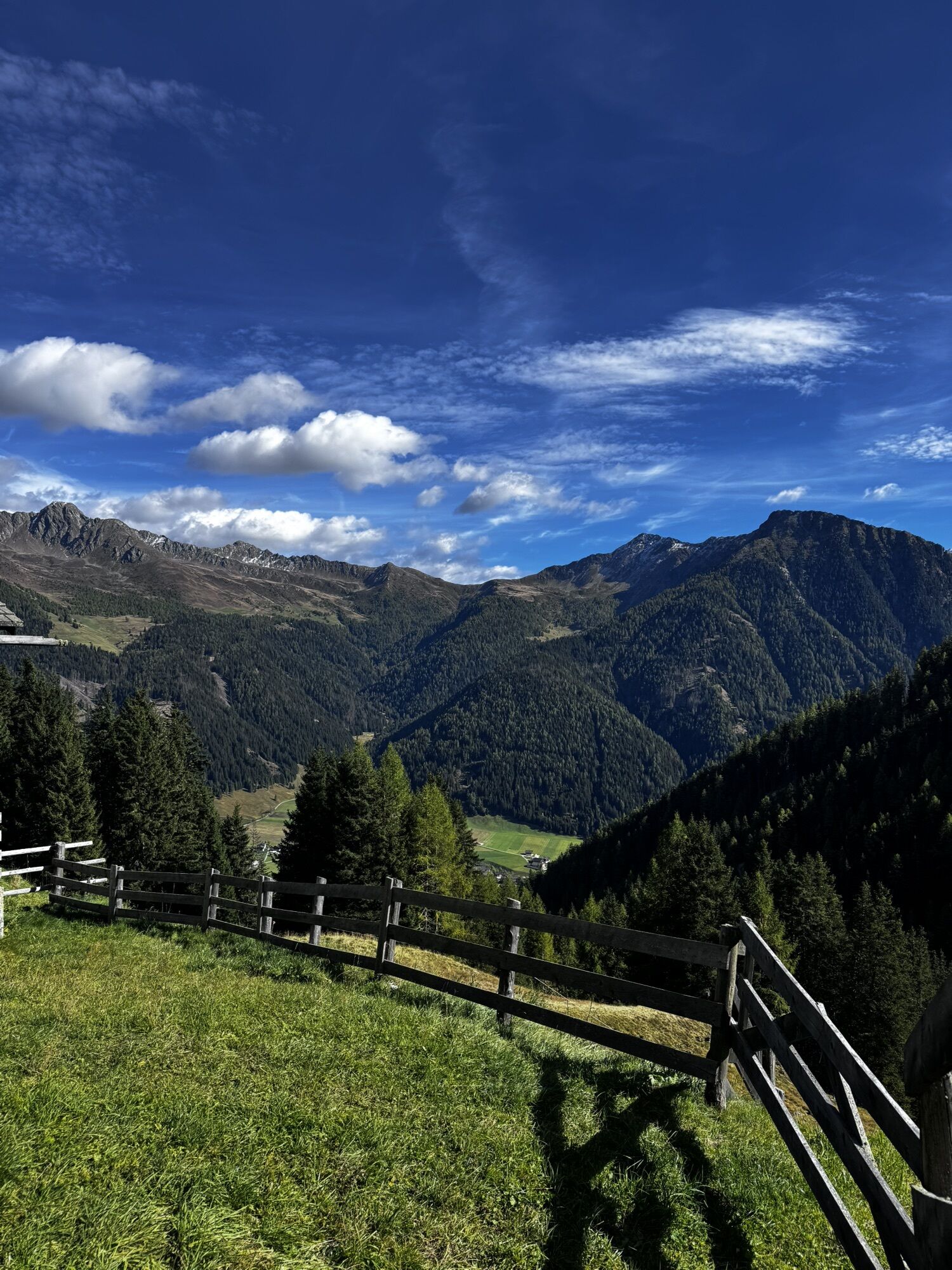
Ski Tour: Hoher Mann in S. Maddalena/Gsieser Tal Valley

From the head of the valley in St. Magdalena in the Gsieser Valley 1465 m, follow the piste uphill on its edge to the alpine path number 10 “Ascht”. Now continue on a wide forest road through the woods...
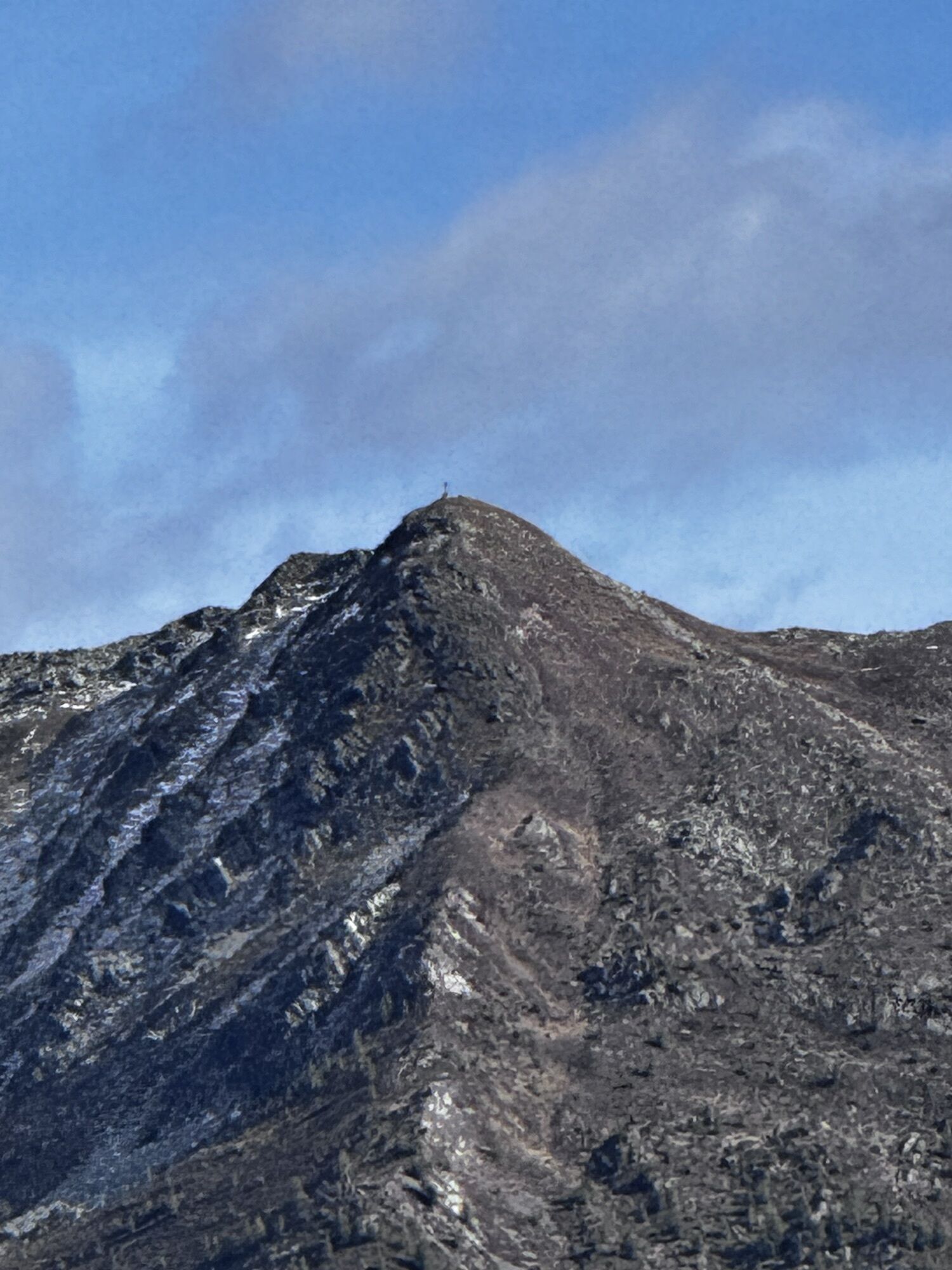
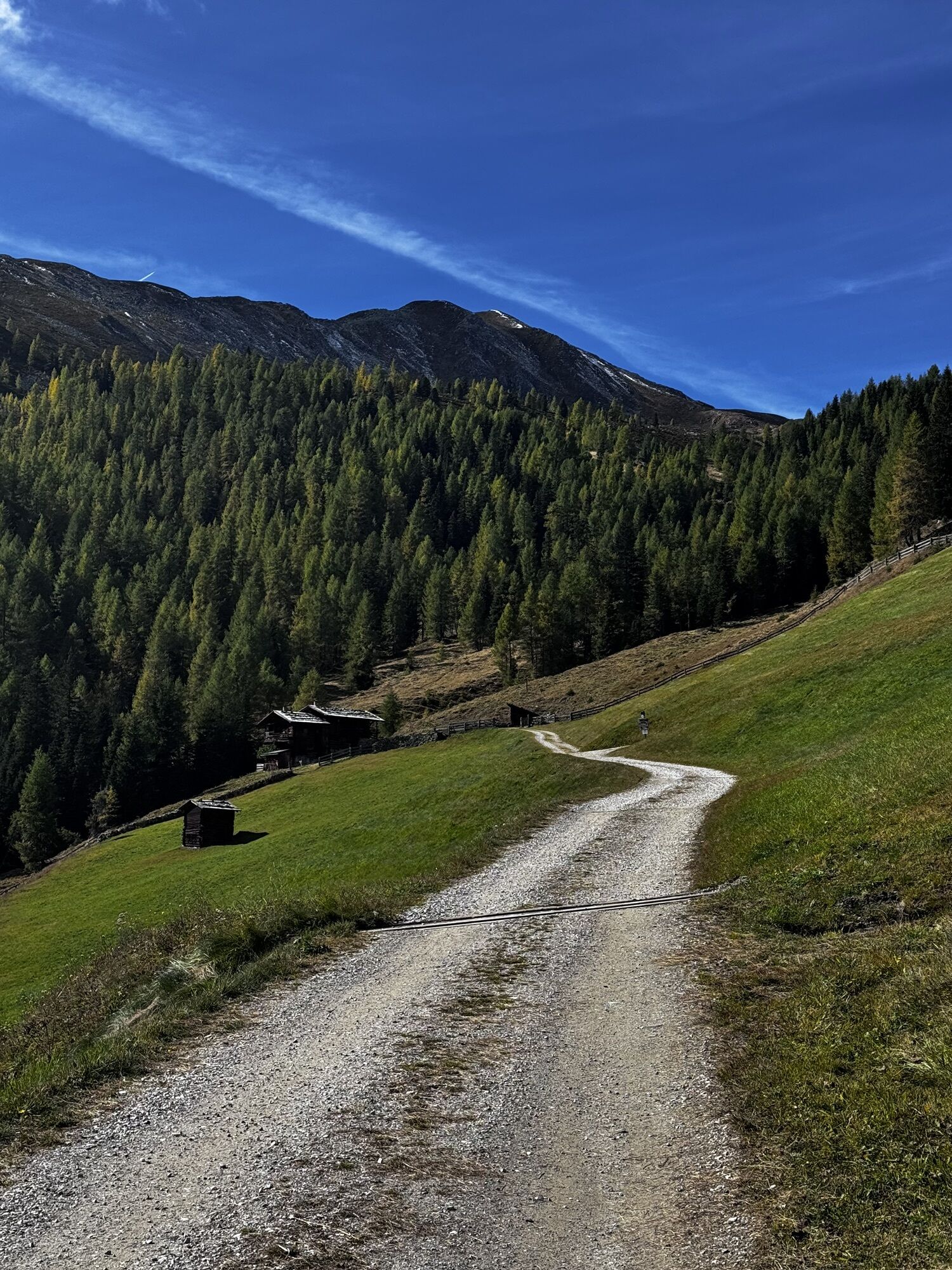
From the head of the valley in St. Magdalena in the Gsieser Valley 1465 m, follow the piste uphill on its edge to the alpine path number 10 “Ascht”. Now continue on a wide forest road through the woods covered in deep snow all the way to the Aschtalm at 1950 m (rest point). Then proceed westwards on the alpine path to the Pfinnalm at 2152 m and to the Pfinnscharte (notch) at 2395 m. Please consider the avalanche risk: only descend the slope if the covering of snow is stable! In another 30 minutes reach the Hoher Mann at 2539 m, over the steep ridge. The impressive panoramic view rewards your efforts. Now look forward to a fantastic downhill run! As the touring map explains, you can also climb on the orographic left side of the stream from the Aschtalm, traverse clear mountain woods and wide alpine terrain and hike past many hay barns of the Pfinnalm towards Hoher Mann. At the notch, at an altitude of 2499 m, keep left and climb the Hoher Mann over the “Nord Grat” (northern ridge). Snowshoe hikers: As explained previously, keep to the forest path number 10 all the way to the Pfinnalm 2152 m. From there, reach the Pfinnscharte (notch) at 2359 m in just 45 minutes by climbing up steeply along the basin of the valley.

Oblíbené prohlídky v okolí
- 4,6
Mountain hike to Mountain „Lutterkopf and Durakopf (2145/2275m)“
středníHorská turistika 11,8 km - 4,8
Antholzer See - Steinzger Alm
středníTuristika 7,48 km - 4,7
Rund um den Antholzer See
světloTuristika 4,27 km - 4,9
Oberhausalm - Jagdhaushütte
světloTuristika 14,0 km - 4,6
Rote Wand
středníVysokohorská turistika 12,0 km - 4,8
Von Kalkstein auf das Toblacher Pfannhorn (2.663 m) und Marchkinkele
středníTuristika 14,2 km - 4,2
Seespitze
středníTuristika 13,7 km - 5,0
Trojertal, Hintere Trojeralm
světloTuristika 8,97 km - 5,0
Ski Tour: Monte Luta e Monte Salmone in Tesido
světloLyžařská trasa 11,0 km - 4,8
Zur Jagdhausalm - Defreggental
středníMountainbike 26,2 km
Pěší turistika a stopování


Nenechte si ujít nabídky a inspiraci pro vaši příští dovolenou
Vaše e-mailová adresa byl přidán do poštovního seznamu.