







TIP Panorama Road Tyrol ➤ Stelvio Pass
Úroveň obtížnosti: 2
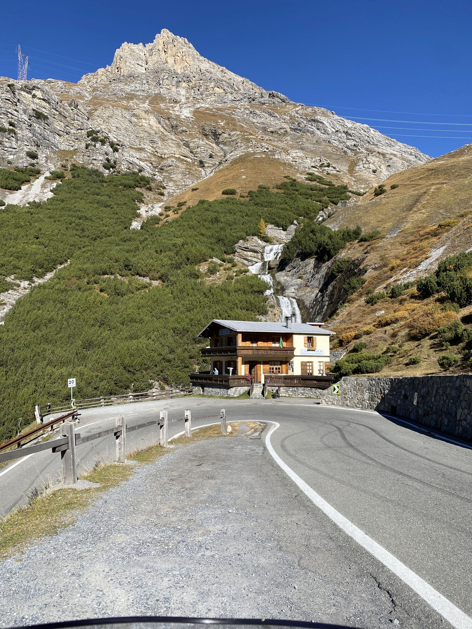
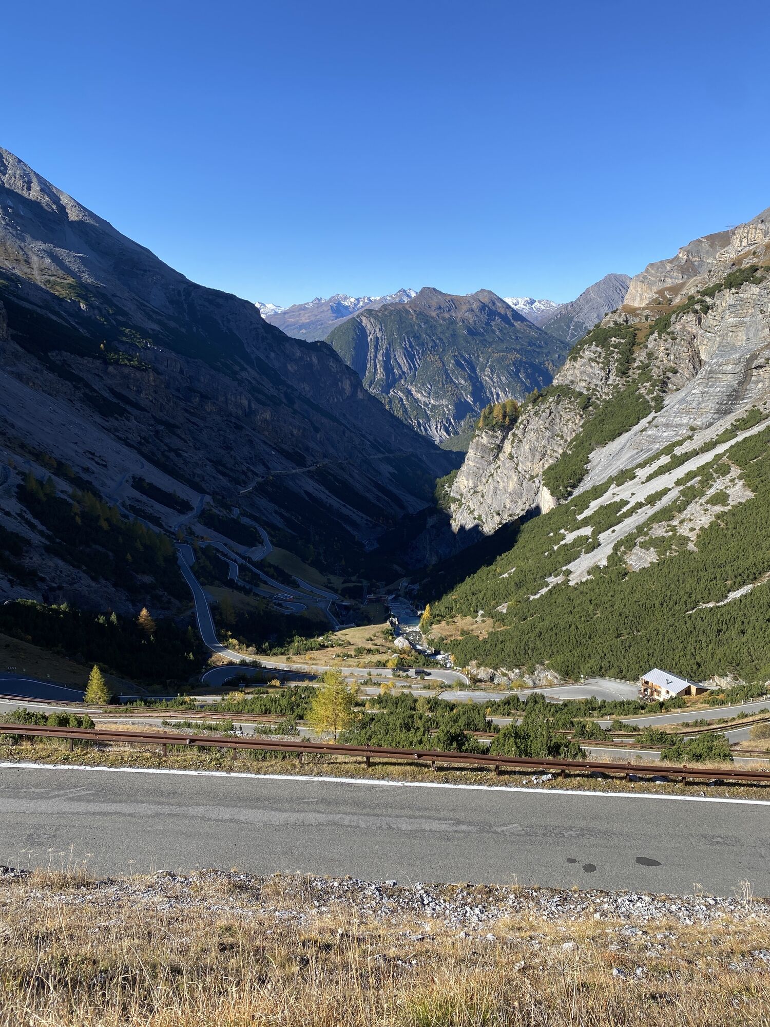
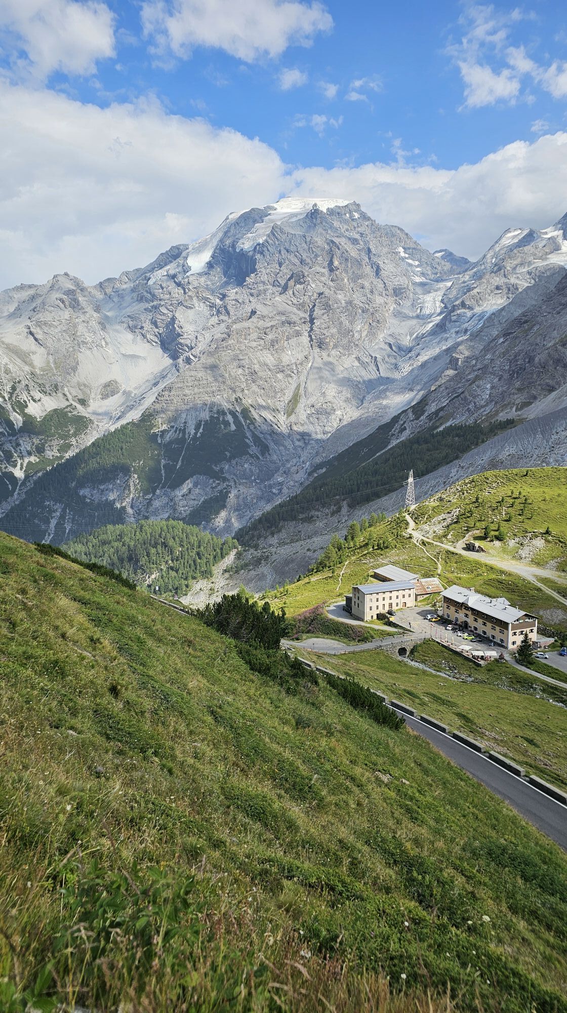
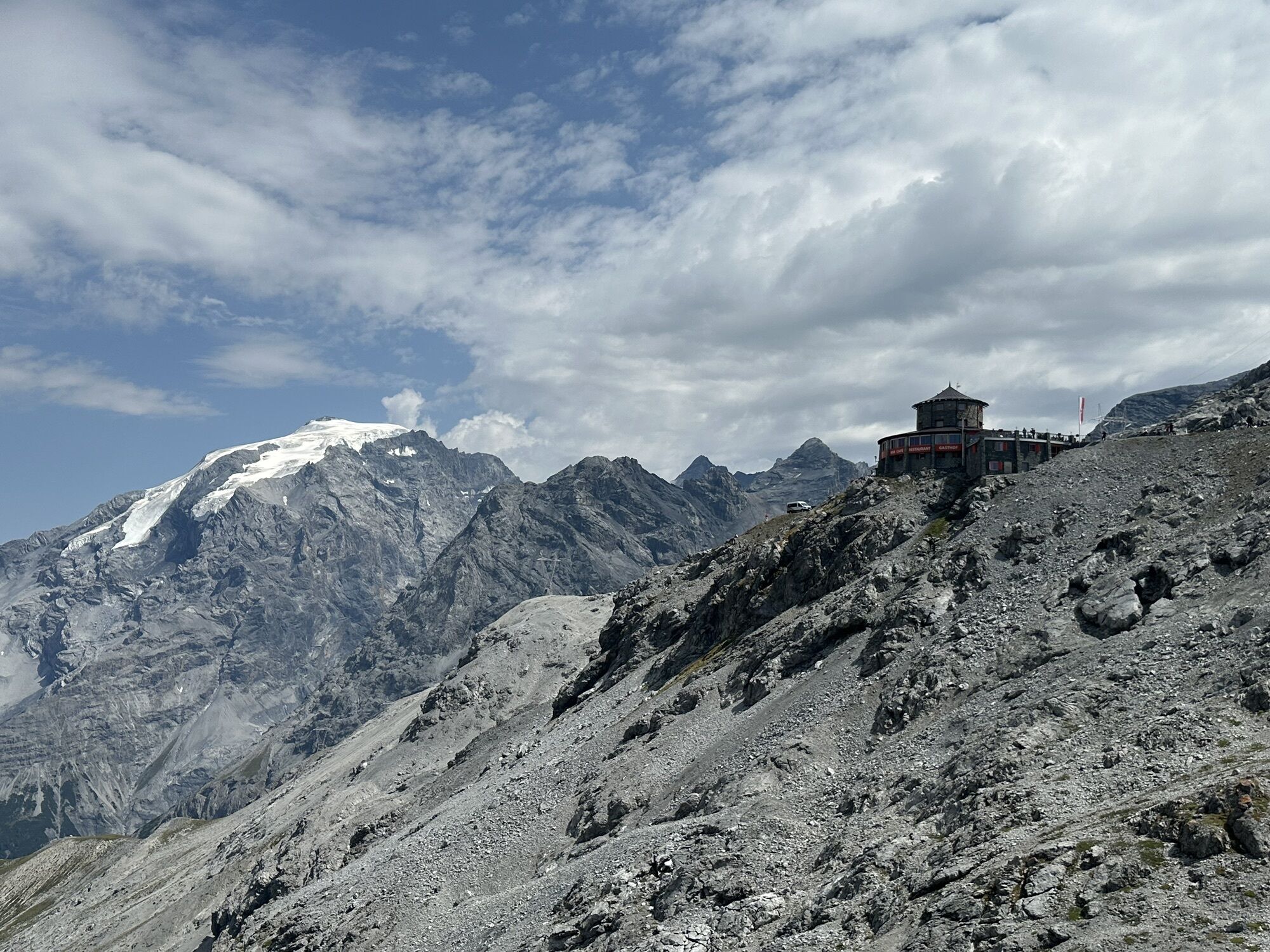
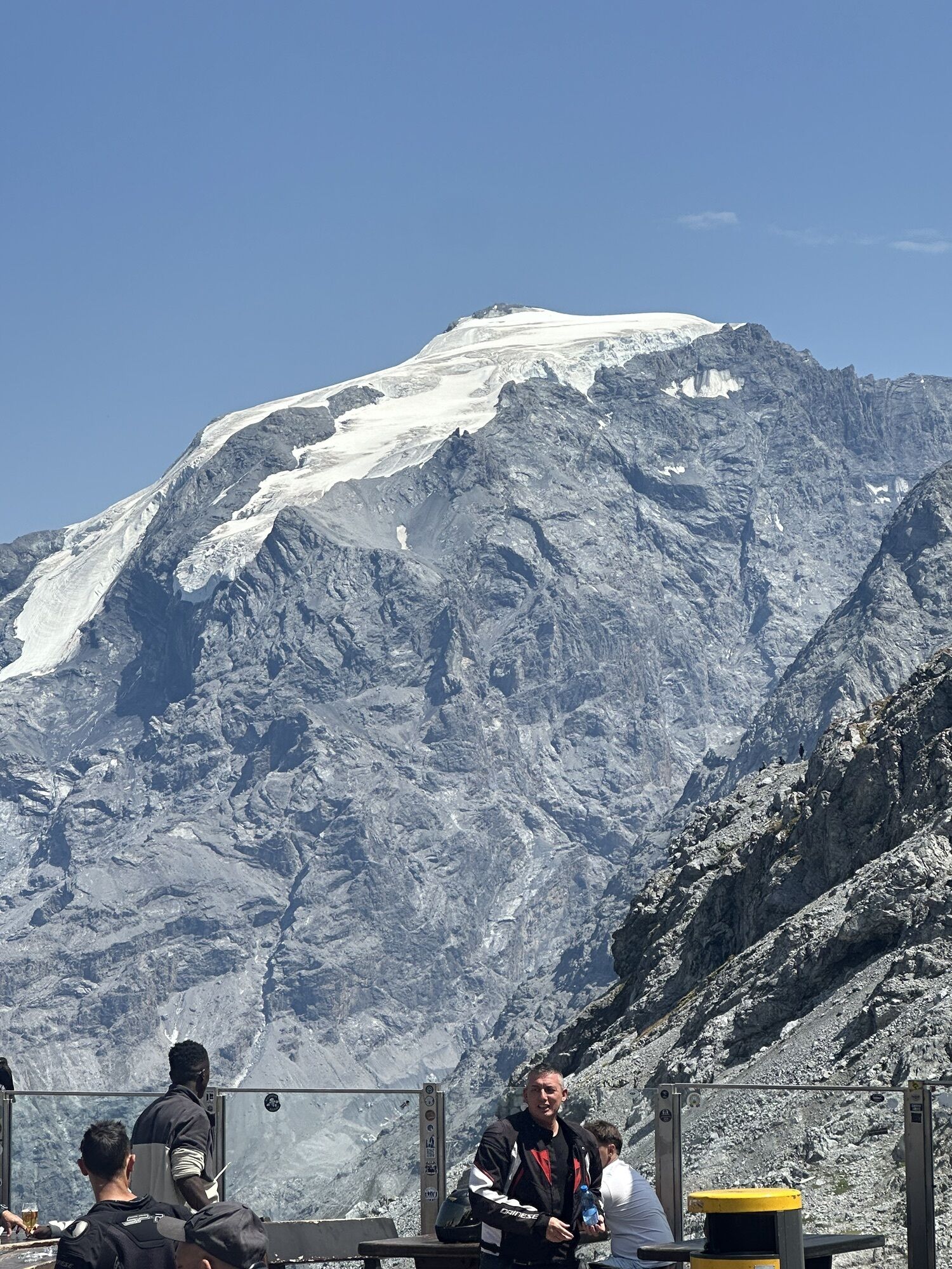
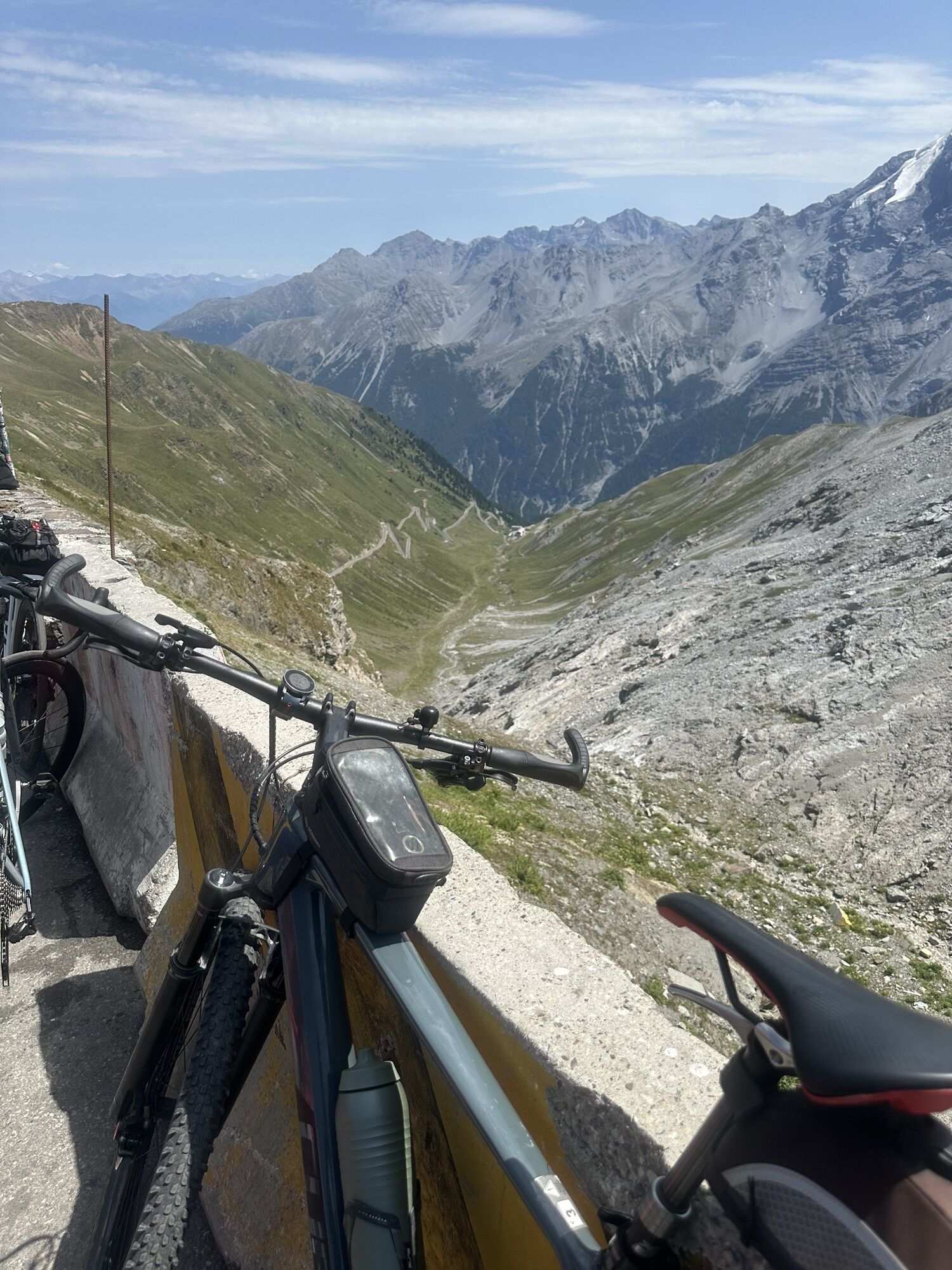
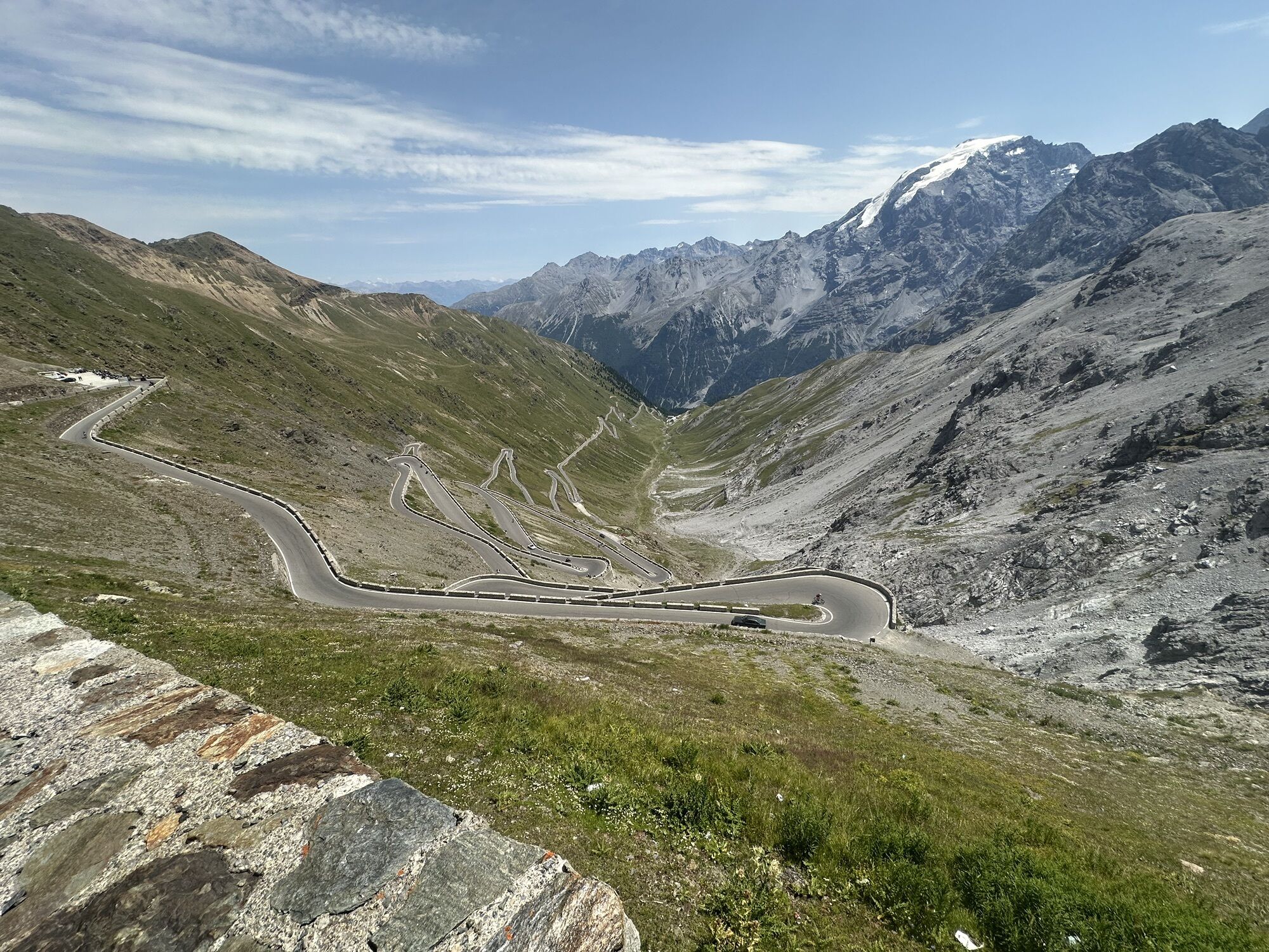
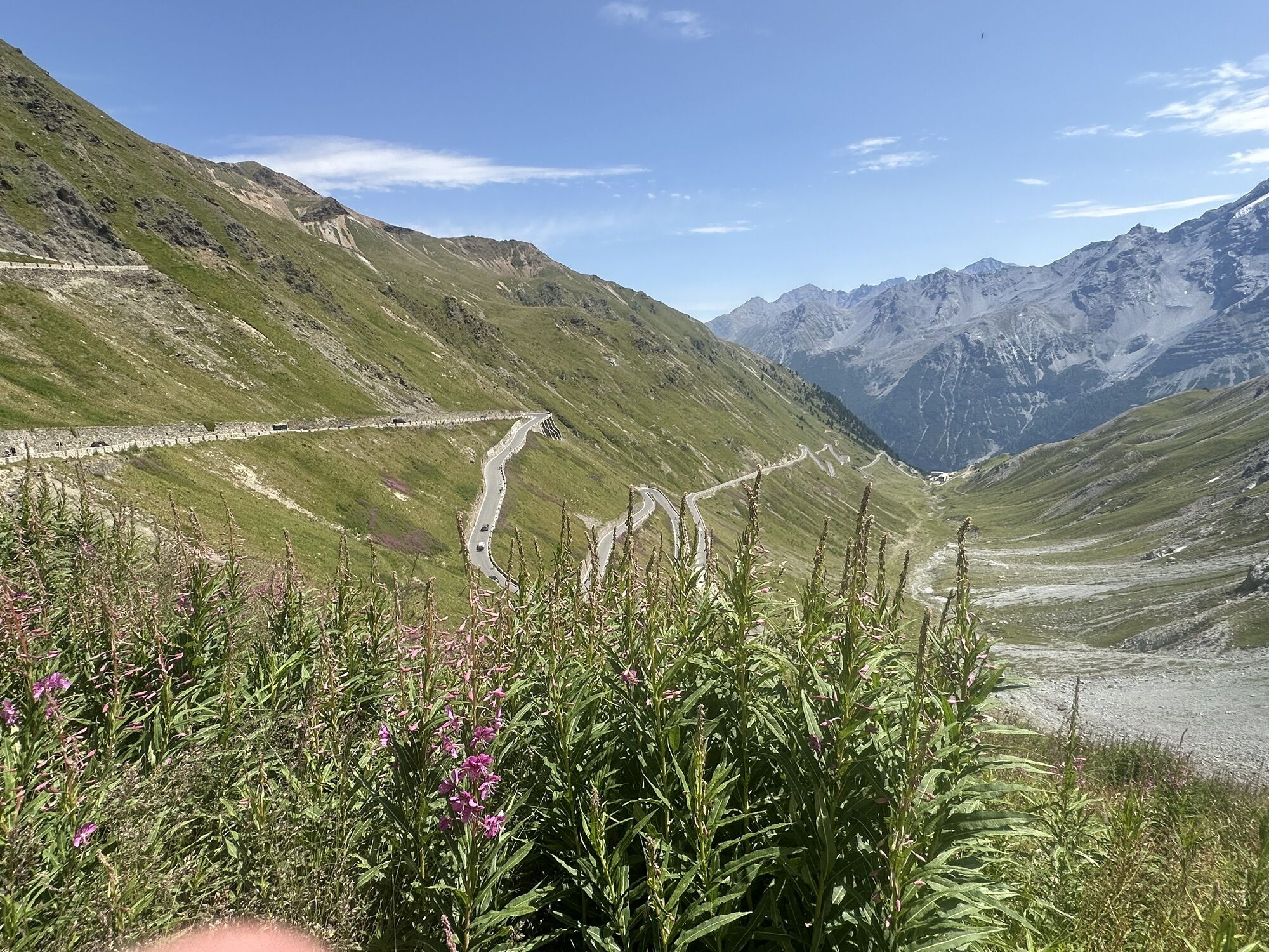
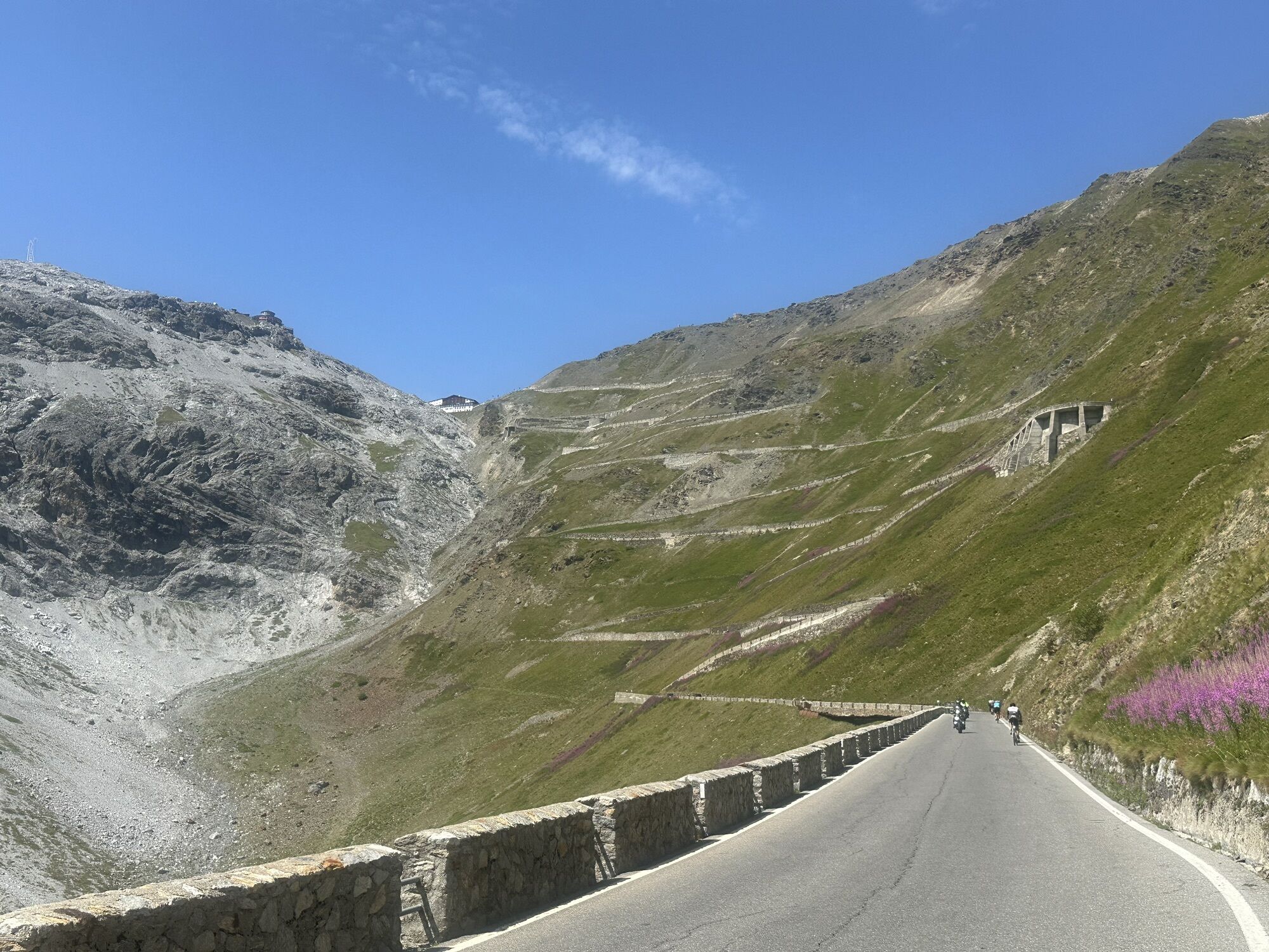
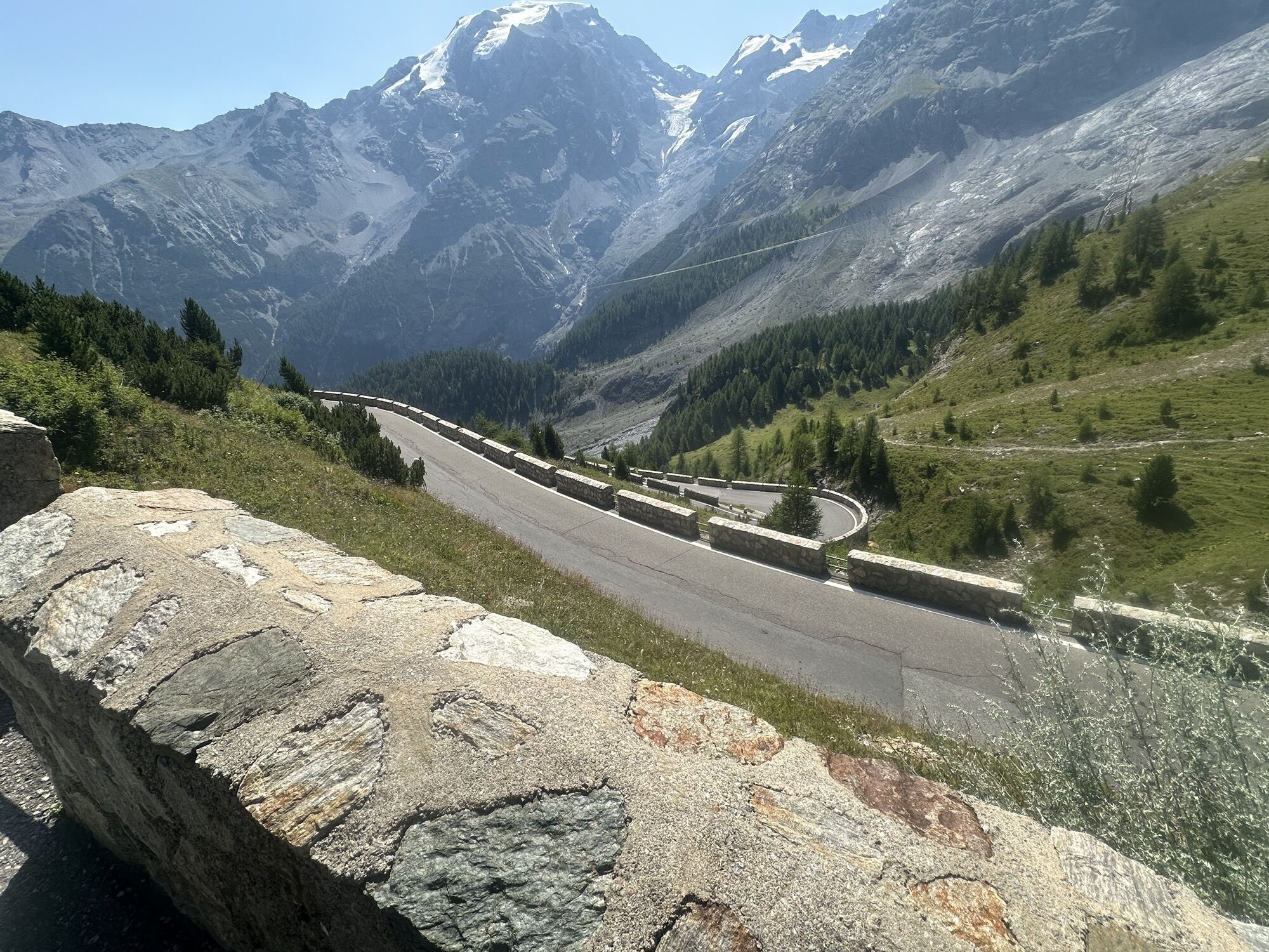
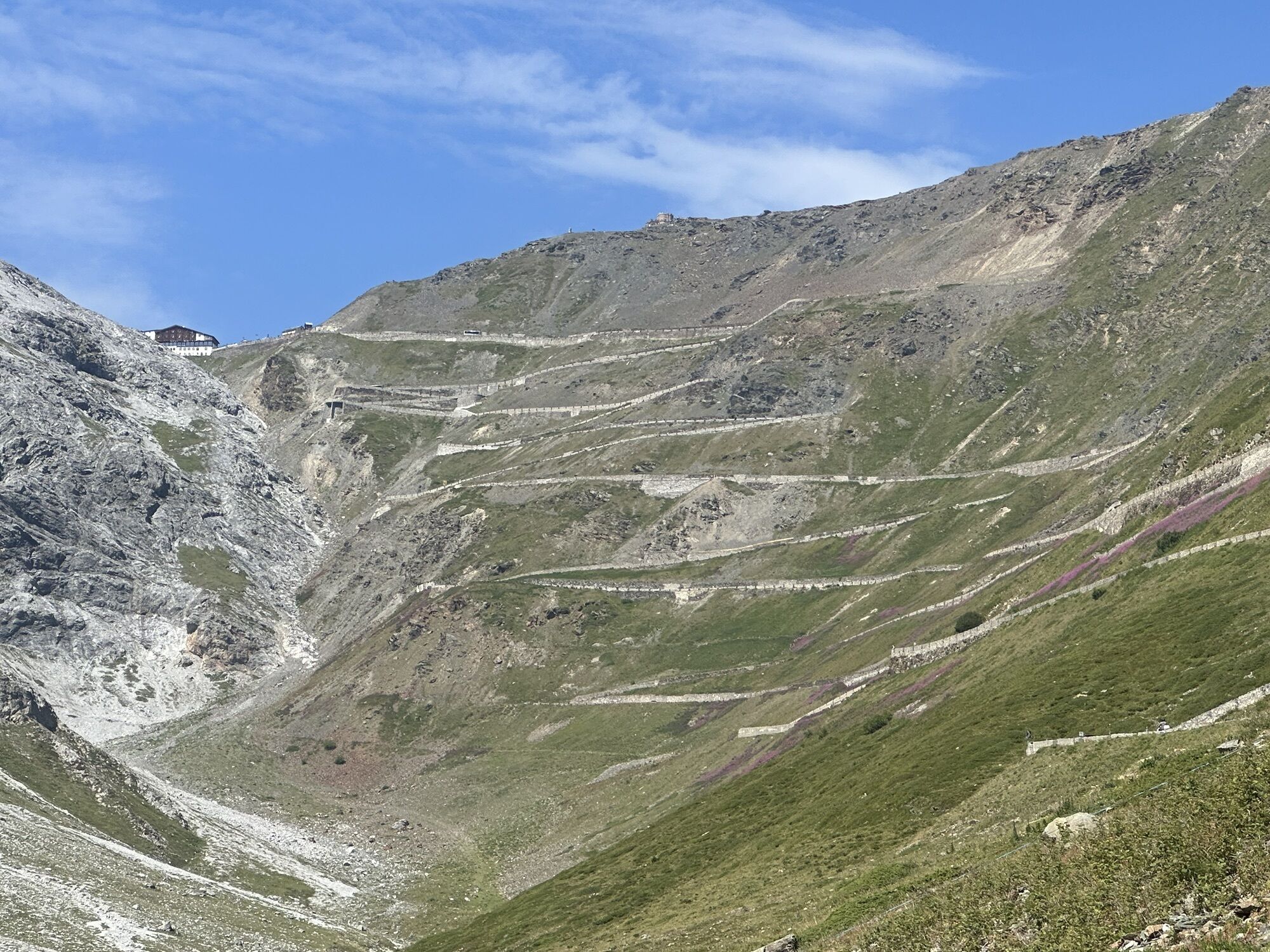
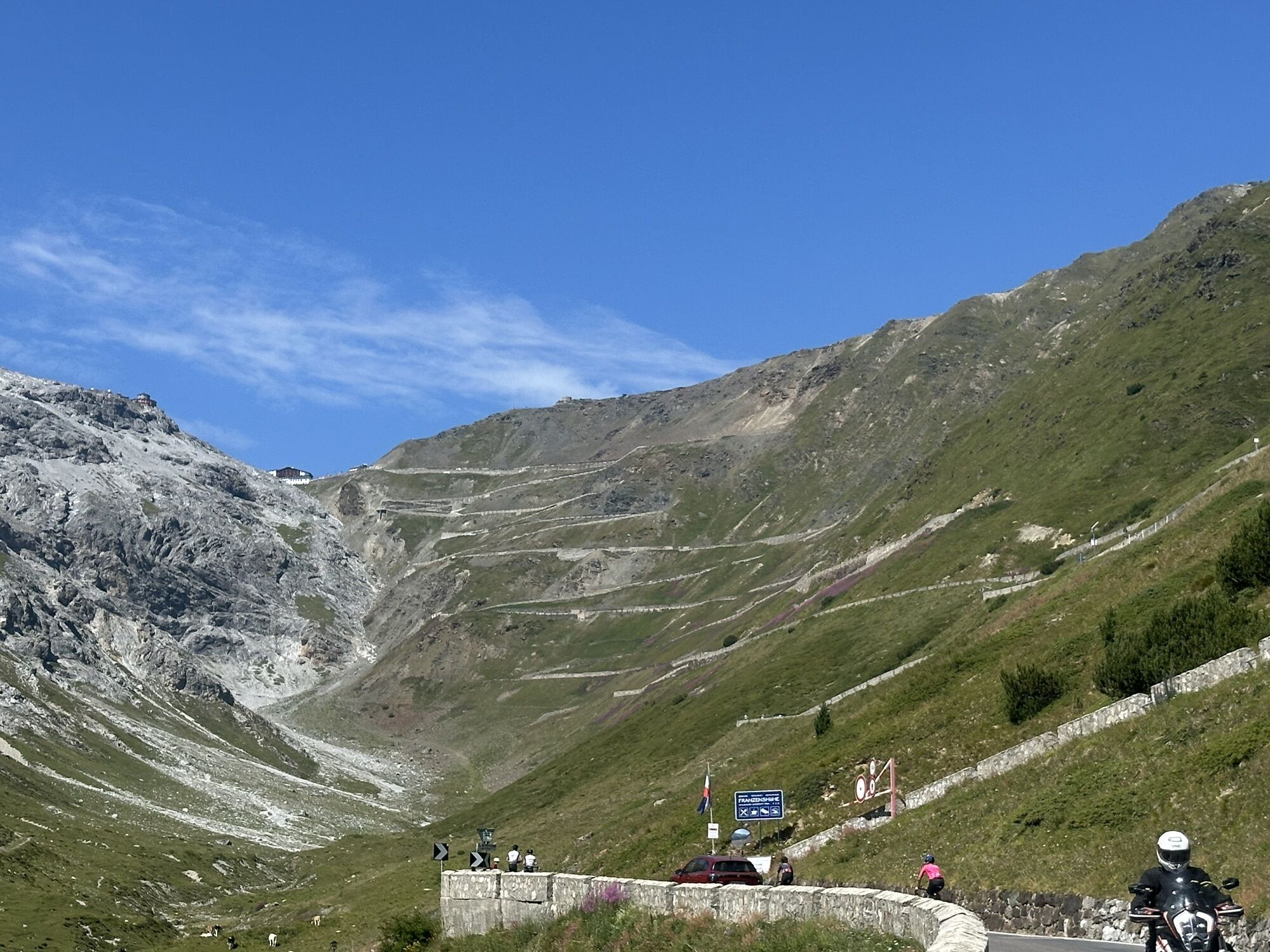
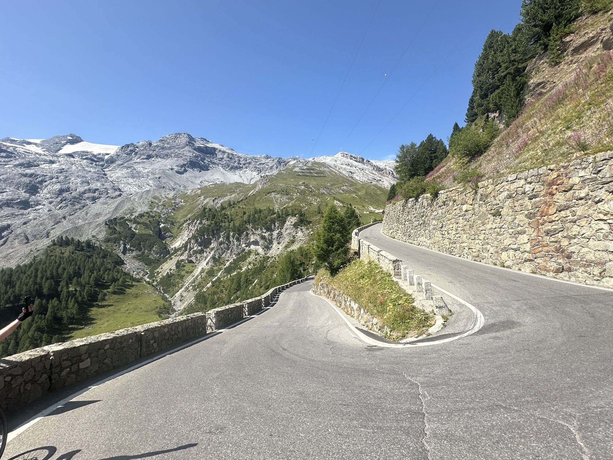
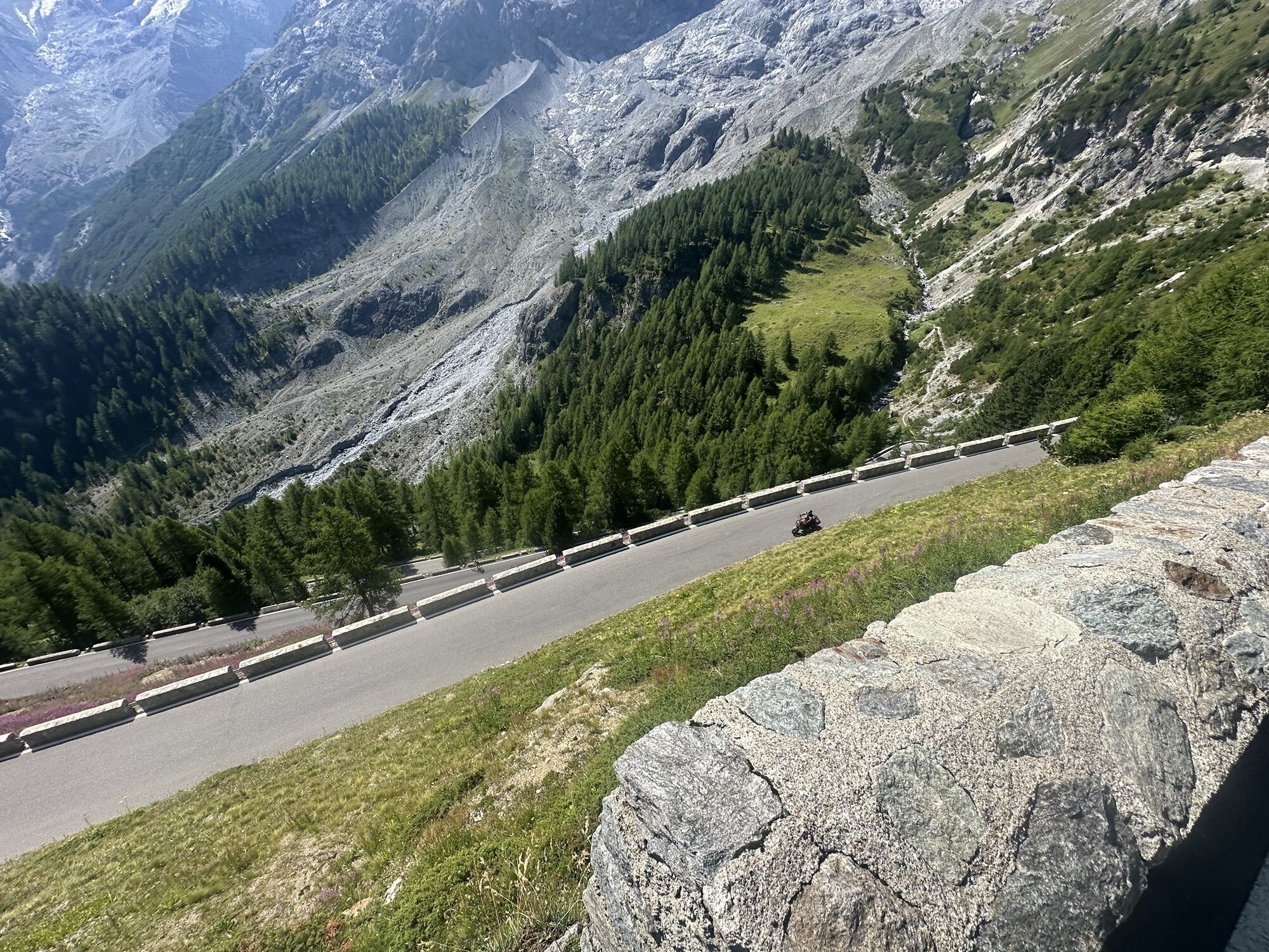
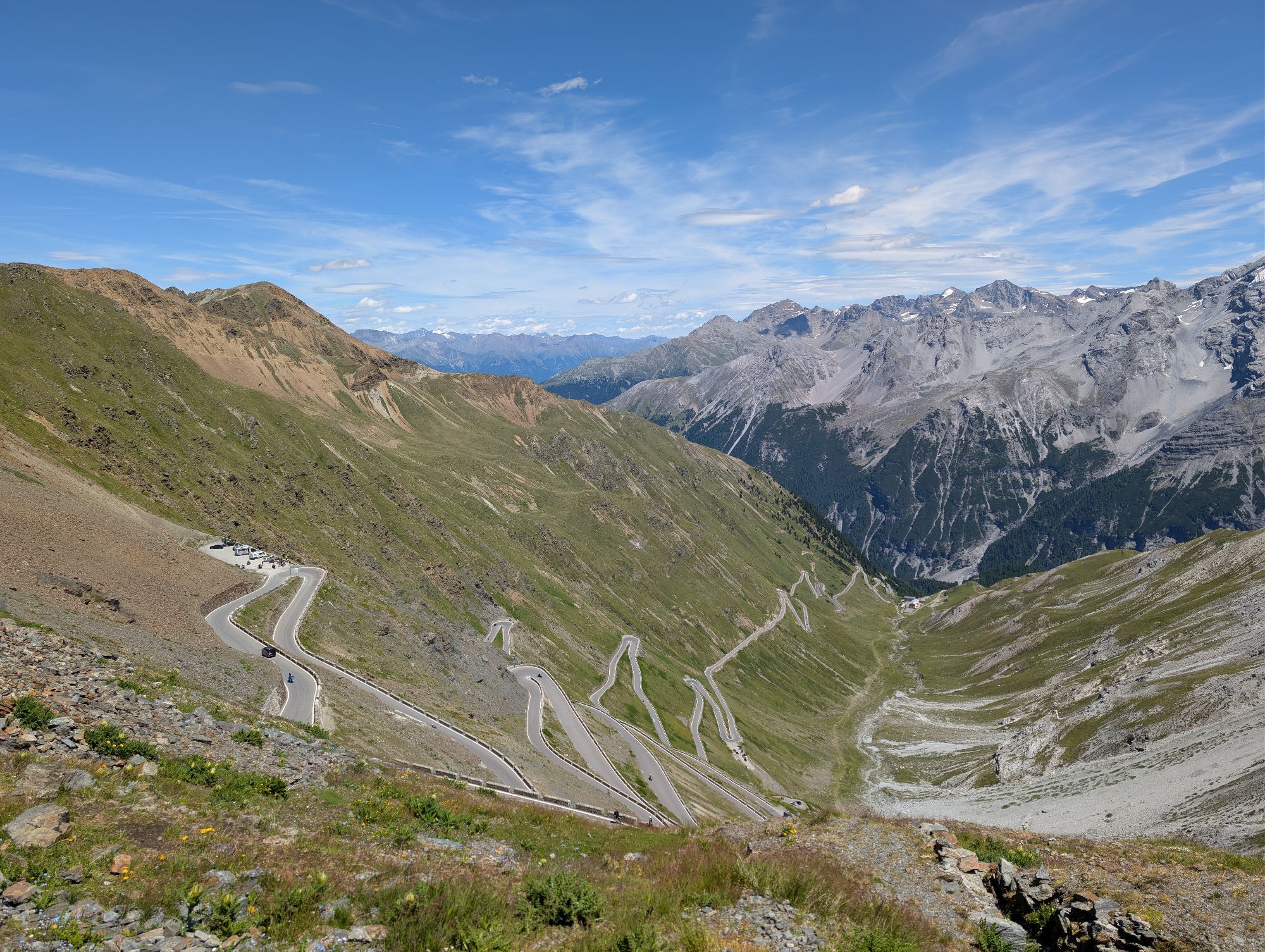
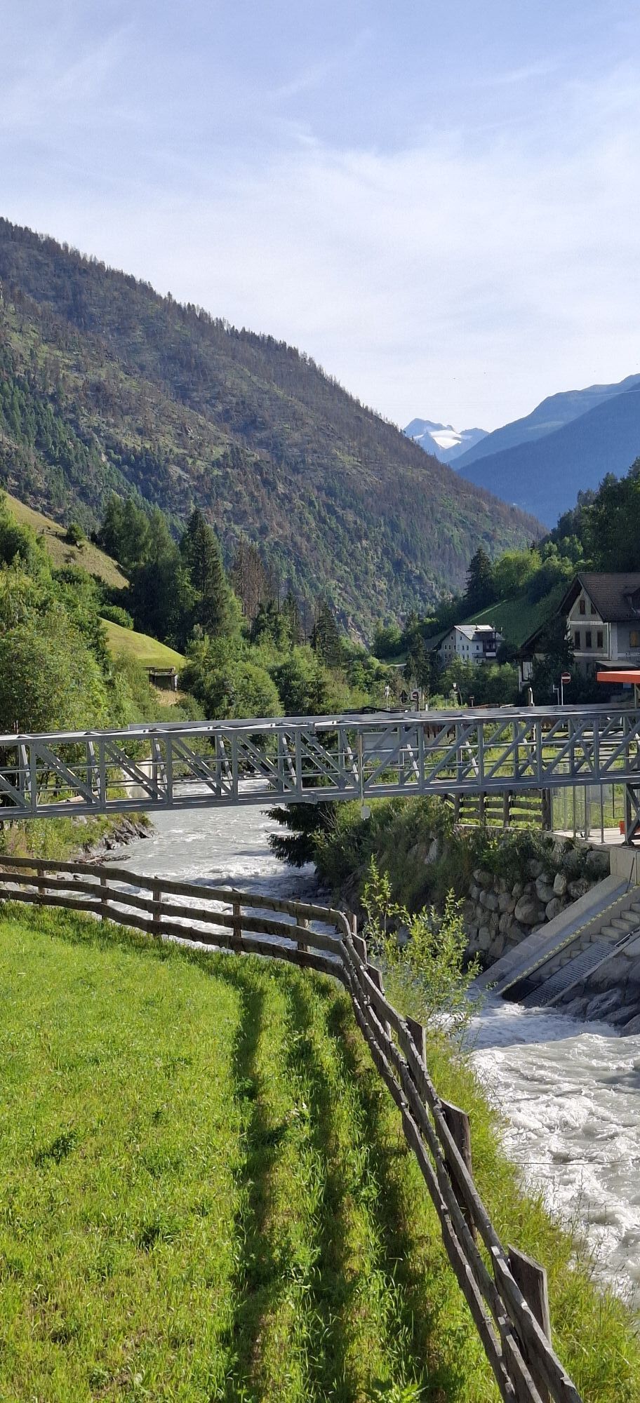
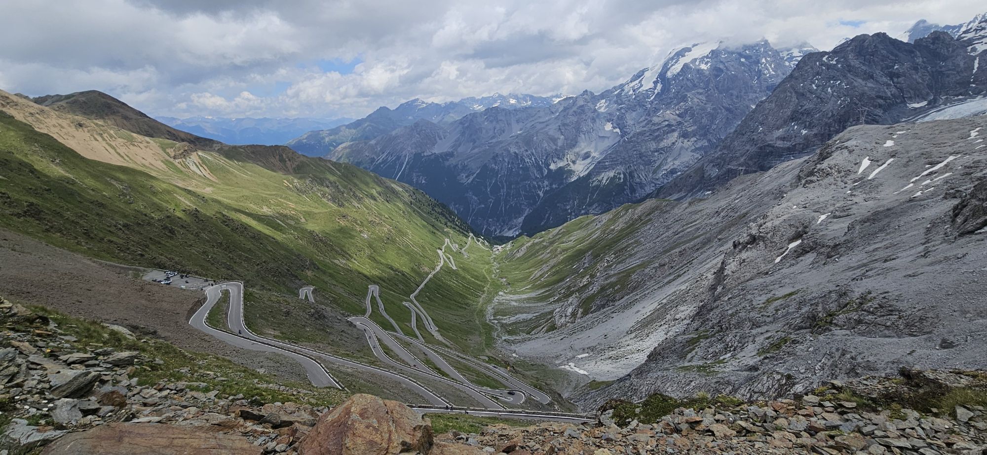
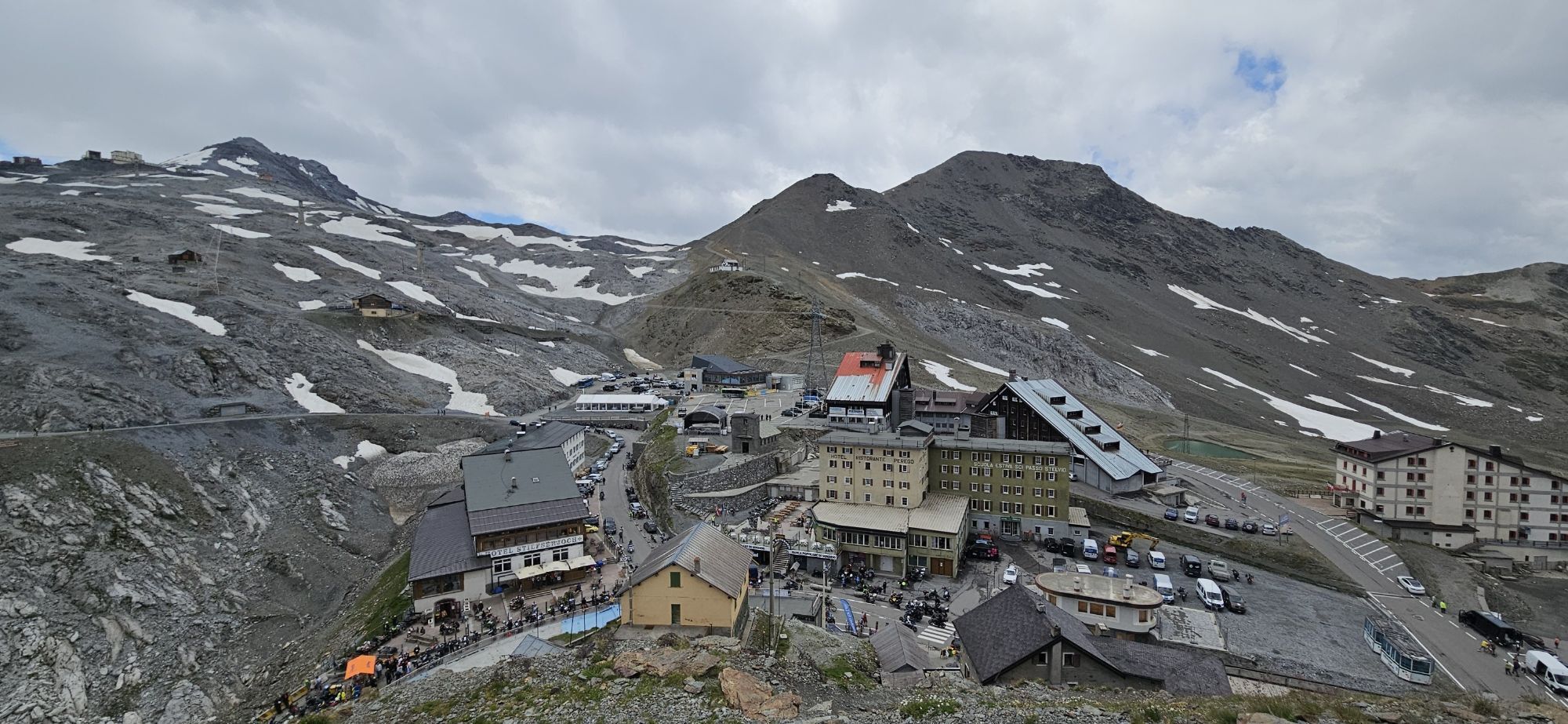
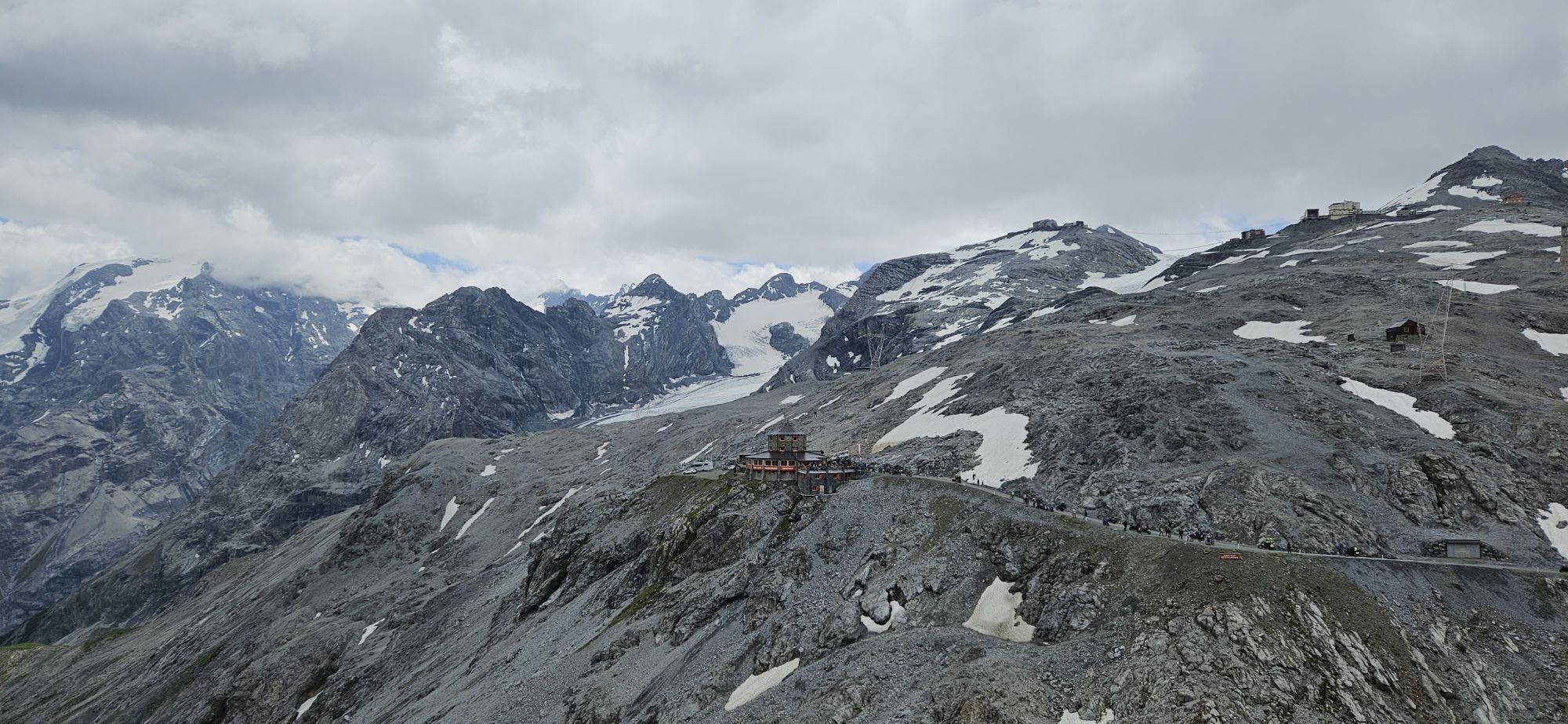
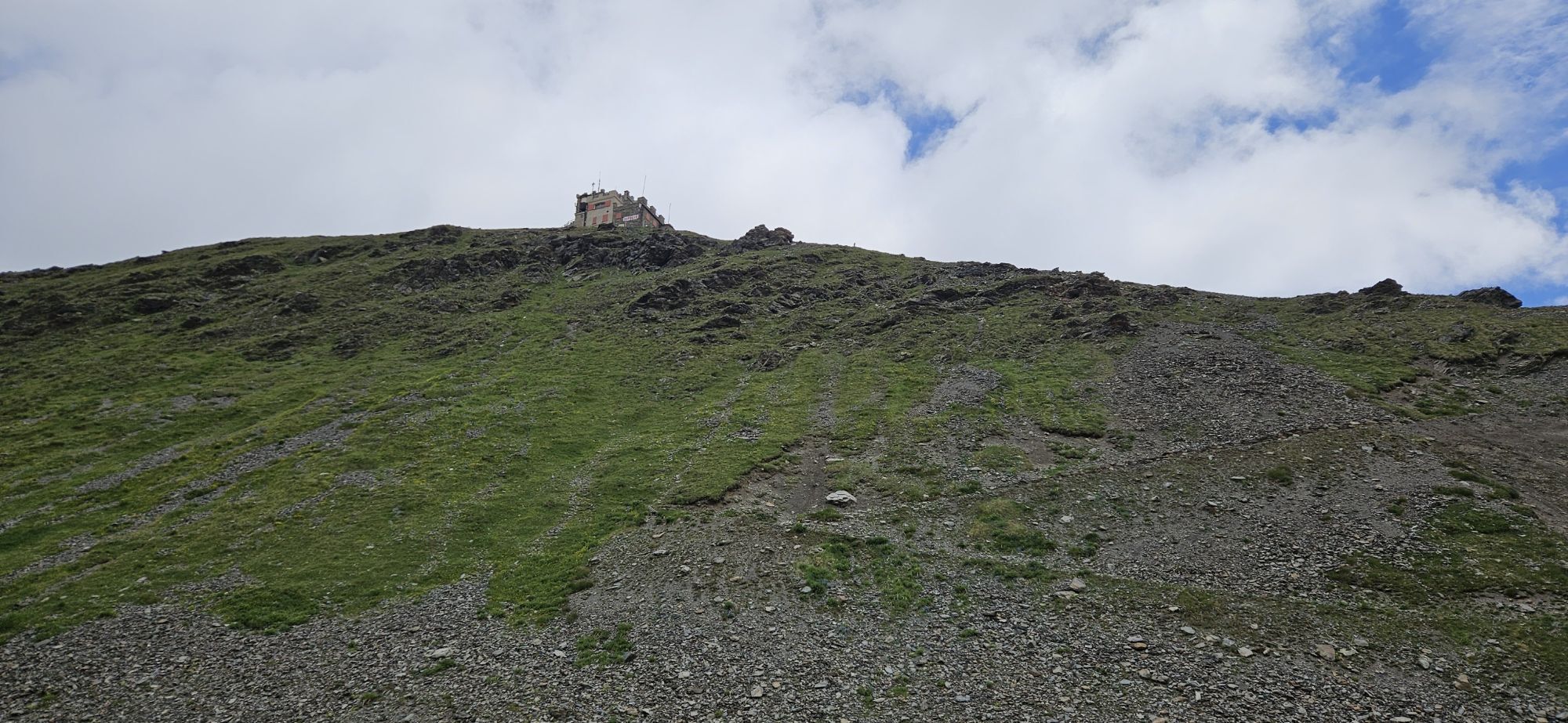
🌄 The northeast ramp of the Stelvio Pass is one of the toughest pass roads in the Alps and should only be tackled with a good amount of motorcycle experience. The pass is, after the Col d'Iseran, the second...
ð The northeast ramp of the Stelvio Pass is one of the toughest pass roads in the Alps and should only be tackled with a good amount of motorcycle experience. The pass is, after the Col d'Iseran, the second highest paved mountain pass in the Alps and connects Lombardy with South Tyrol. Built in 1826 by the Austrian Empire, the road has been newly paved in recent years.
ð The "Parco Nazionale dello Stelvio" was founded in 1935 and, with its area of 130,000 hectares, is one of the largest protected areas in Europe. The main highlights of the national park, besides its summit worlds of nearly 4000 meters height around the Ortler, are mainly the immense glacier mountain massif with spectacular steep slopes, beautifully situated glacier lakes, and alpine pastures.
ð Altitude 2758 m
ð Altitude difference ð¢ 1570 m ð¢ 1867 m
ð Average gradient ð¢ 7.3 % ð¢ 7.2 %
ð Maximum gradient ð¢ 14.8 % ð¢ 13.5 %

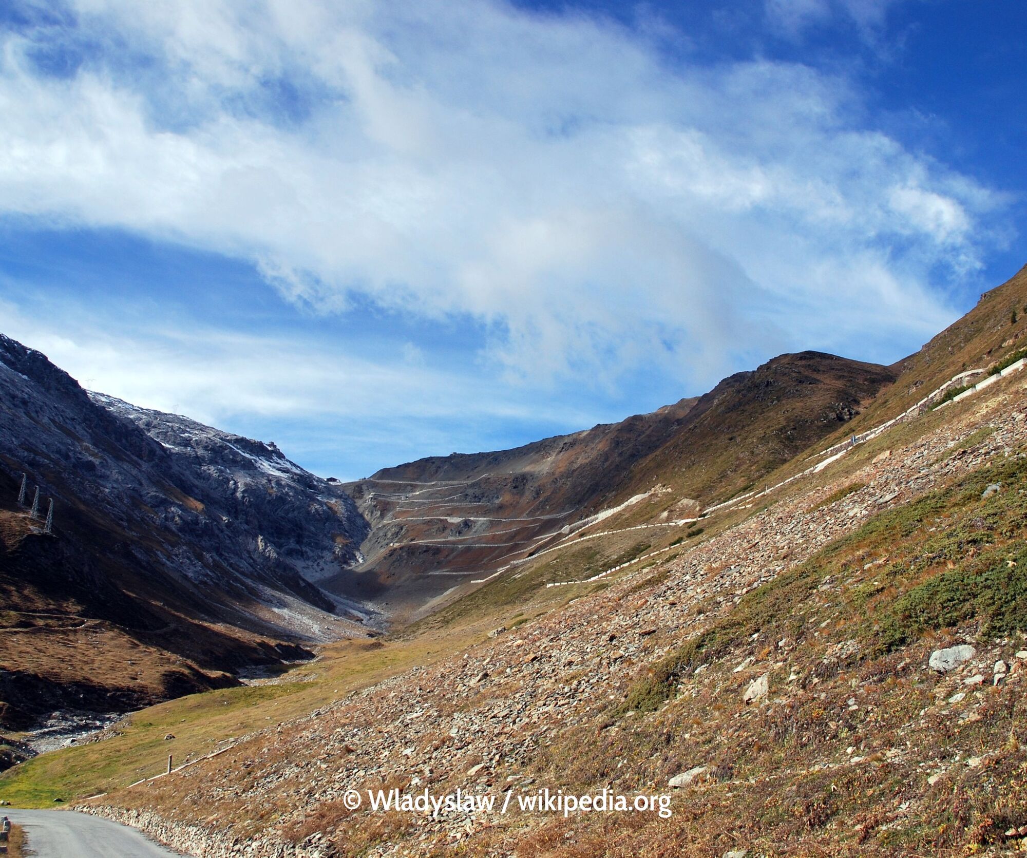
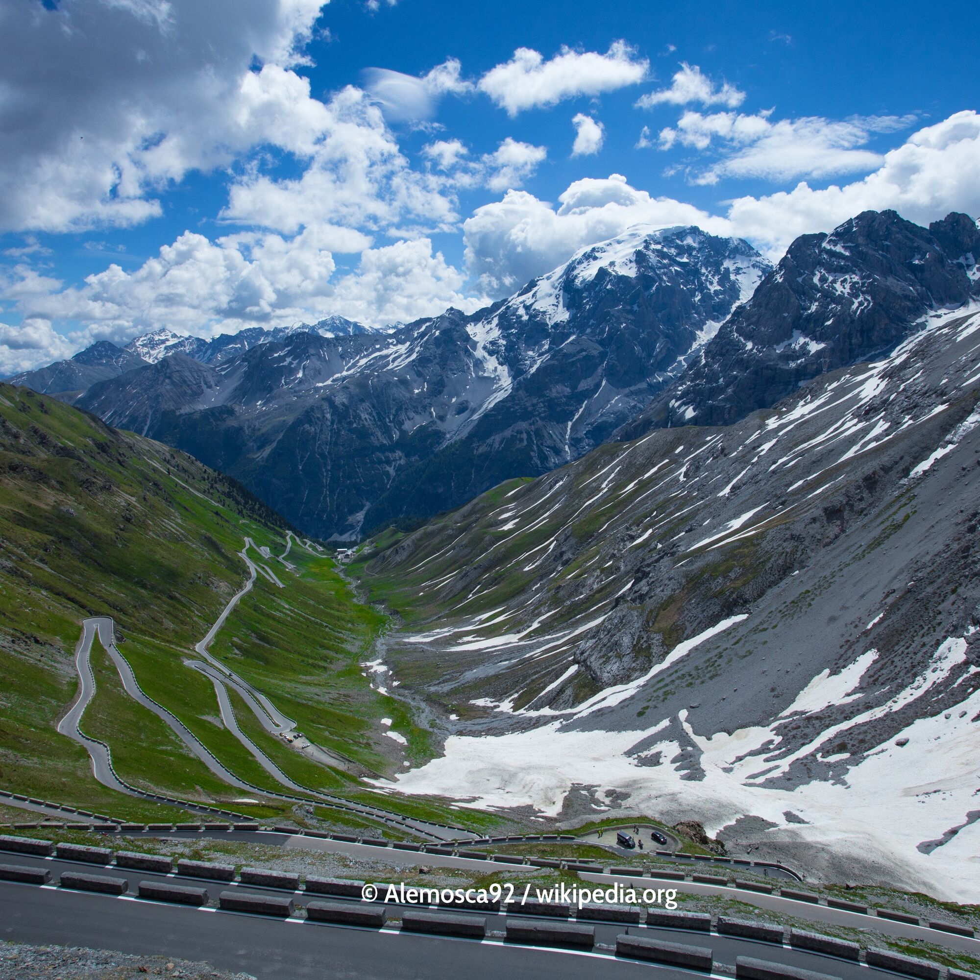

The highest paved mountain pass in Italy is also the number two in the Alps. The connection between South Tyrol and Lombardy runs through the eponymous national park against the spectacular backdrop of the Ortler group. The approximately 50-kilometer-long route features an impressive 87 hairpin bends, 48 from Prad to the summit, 39 descending to Bormio. Shortly after the pass summit, the Umbrail Pass branches off into the Swiss Val Müstair.
Ano
Ano
Motorcycle: ⤠Motorcycle helmet ⤠Motorcycle gloves ⤠Motorcycle boots ⤠Motorcycle jacket and pants
Convertible: ⤠Baseball cap ⤠Sunscreen ⤠Sunglasses ⤠Convertible?!?
Always pay attention to the road surface
From Merano as well as Sterzing via the SS 44 to the pass summit
Bus connections between Merano and Sterzing via the Jaufen Pass are possible.
Parking available at the pass summit
Book suitable accommodation on trip-tirol.com
2
80 hairpin bends, absolute trailer ban, from Trafoi driving ban for vehicles longer than 10.5 m. Bormio side: driving ban for vehicles taller than 3.3 m.
🌄 80 hairpin bends, absolute trailer ban, from Trafoi driving ban for vehicles longer than 10.5 m. Bormio side: driving ban for vehicles taller than 3.3 m.


Webové kamery z prohlídky
Bormio 2000
Piste Stelvio
Bormio 2000
Bormio 2000
Bormio 2000
Bormio 2000
Bormio 2000
Bormio 2000
Bormio 2000
Prad am Stilfserjoch
Prad am Stilfserjoch
Trafoi
Stilfs - Stelvio
Stilfser Joch - Tibet Hütte
Trafoi - Furkelhütte
Bormio Terme
Bormio Terme
Prad
Prad
Piazza Kuerc
Piazza Kuerc
Piazza Kuerc
Piazza Kuerc
Uzza - Valfurva
Montoni
Teleir - Oga
Teleir - Oga
Teleir - Oga
Teleir - Oga
Získejte přehled Vždy živě na místě s více než 9 500 webkamerami. bergfex Jako uživatel Pro si nyní můžete zobrazit odpovídající webové kamery pro mnoho prohlídek v aplikaci prohlídky z. Můžete si tak přímo prohlédnout aktuální podmínky. 
Oblíbené prohlídky v okolí
- 3.9
Von Sulden zur Hinteren Schöntaufspitze
středníTuristika 12.7 km - 3.7
Düsseldorfer Hütte 2721m
středníTuristika 4.14 km - 3.7
Payerhütte 3020m
Turistika 6.98 km - 4.5
Sonnenaufgang auf der Rötelspitze im Nationalpark Stilfserjoch
Turistika 2.02 km - 5.0
Wanderung/Aufstieg zur Payerhütte
světloTuristika 15.9 km - 4.0
Wanderung zum Hinteren Schöneck
světloTuristika 13.2 km - 5.0
Ortler über Meraner Weg (vom Tal/Trafoi)
heavyVysokohorská turistika 11.9 km - 4.0
Tschengelser Hochwand Stelvio, Trentino-Alto Adige
středníVia ferrata 14.3 km - 4.3
Ortler – Normalweg
heavyVysokohorská turistika 7.30 km - 3.5
Watervallen wandeling
světloTuristika 4.95 km
Pěší turistika a stopování


Nenechte si ujít nabídky a inspiraci pro vaši příští dovolenou
Vaše e-mailová adresa byl přidán do poštovního seznamu.





