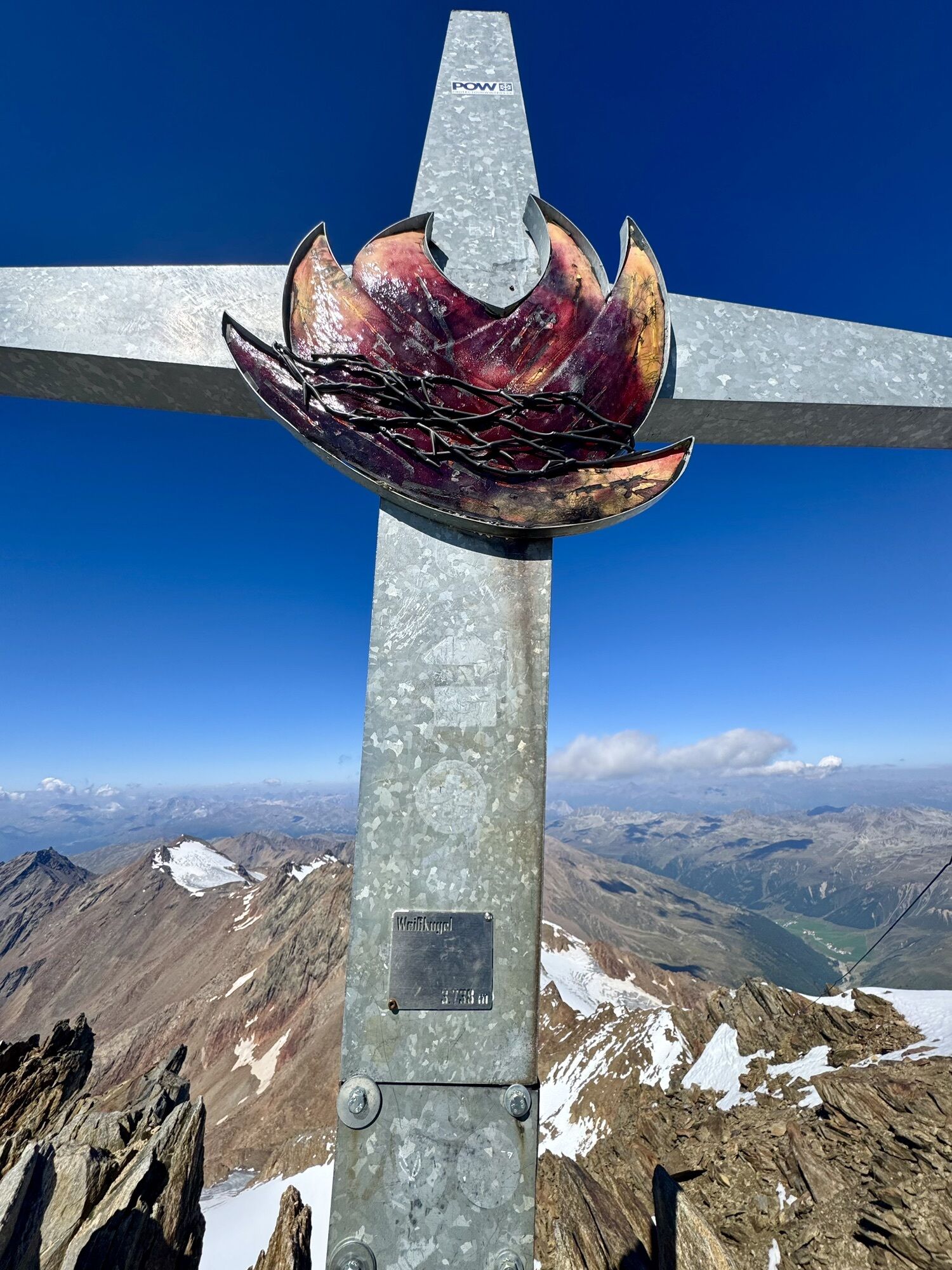
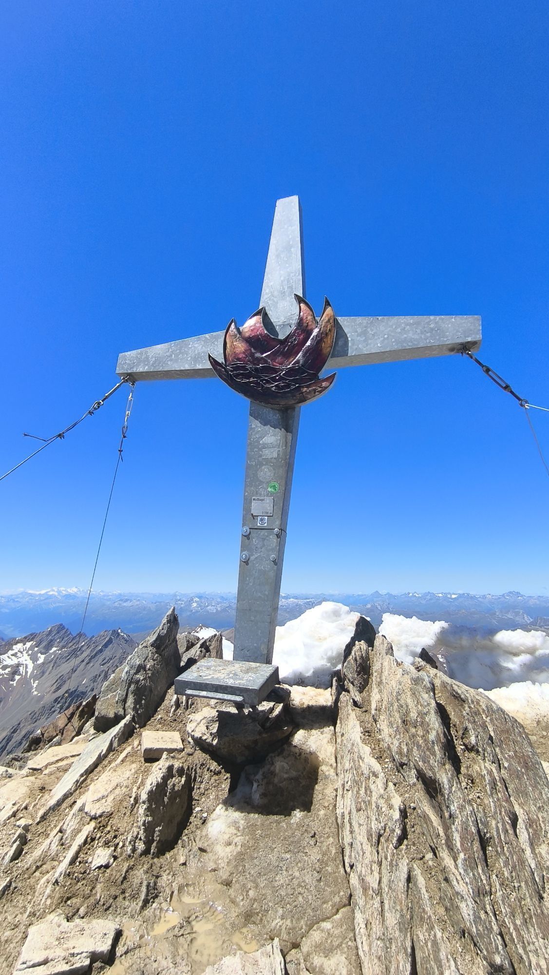
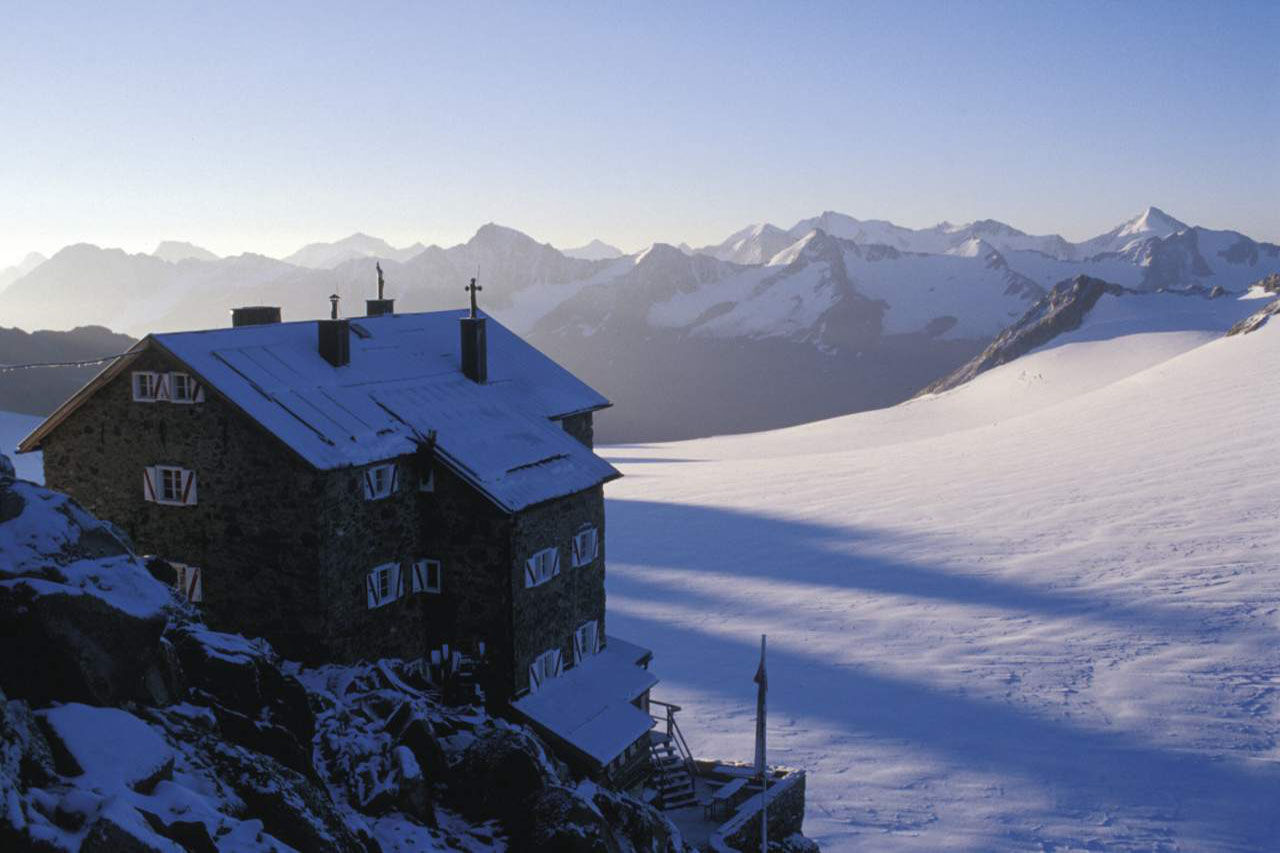
Navigace na stránkách
Pořiďte si tuto prohlídku do mobilního telefonu
Mapa
Weisskugel
heavy
Vysokohorská turistika
8,30 km
Naskenujte QR kód a spusťte navigaci v aplikaci bergfex.
QR Code
Pěší turistika a stopování
Stáhnout pro iOS
Stáhnout pro Android

Weisskugel

heavy
Vysokohorská turistika
Vzdálenost
8,30 km
Doba trvání
05:00 h
Ascent
396 hm
Hladina moře
2.902 - 3.725 m
Stažení skladby
Mapa
Weisskugel
heavy
Vysokohorská turistika
8,30 km

From the Brandenburger House first in a south-westerly direction and later in the south to the Vernaglwand (point: 3,065 m). On partly insured walk down to the Langtaufernferner. Over this glacier-splendid...

Popis
From the Brandenburger House first in a south-westerly direction and later in the south to the Vernaglwand (point: 3,065 m). On partly insured walk down to the Langtaufernferner. Over this glacier-splendid foothill to the Weißkugeljoch and from here steeply over the Felsgrat directly to the summit.Nice is the climb over the magnificent north ridge (sometimes by icing difficult).Easiest descent: over the Hintereisjoch and the Hintereisferner directly to the Hochjoch Hospiz in about 4 h.


Informace o prohlídce

BRANDENBURGER HAUS -> WEISSKUGEL

Technologie
n.a.
Stav
6 / 6
Krajina
6 / 6
Zkušenosti
6 / 6
Nejlepší roční období
Led
Úno
Bře
Dub
Kvě
Čen
Čec
Srp
Zář
Říj
Lis
Pro
Autor
Poskytuje Ötztal
Prohlídku Weisskugel zajišťuje outdooractive.com.
Logo
Sdílet prohlídku
Mapa
Weisskugel
heavy
Vysokohorská turistika
8,30 km
Chyba
Došlo k chybě. Zkuste to prosím znovu.
Informace o trase
Trasa
From the Brandenburger House first in a south-westerly direction and later in the south to the Vernaglwand (point: 3,065 m). On partly insured walk down to the Langtaufernferner. Over this glacier-splendid foothill to the Weißkugeljoch and from here steeply over the Felsgrat directly to the summit.Nice is the climb over the magnificent north ridge (sometimes by icing difficult).Easiest descent: over the Hintereisjoch and the Hintereisferner directly to the Hochjoch Hospiz in about 4 h.


Vybavení
Appropriate equipment such as breathable suitable outdoor clothes for the weather, ankle-high walking boots, wind-, rain- & sun protection, hat, possibly gloves, is for all hikes and tours necessary. Please bring a first-aid box, a mobile phone, a walking map and if there is no hut on the way a snack and enough to drink.


Bezpečnostní pokyny

For high alpine experienced mountaineers that are free from vertigo & surefooted. Excellent physical condition, extensive mountain experience, alpine climbing gear, safety- and orientation guide, good weather conditions recommended. Please pay attention to the current weather report: www.oetztal.com

Informace o příjezdu
Příjezd
The car drive to the Ötztal valley. Situated in Tirol, the Ötztal valley set off in southerly direction and is the longest side valley in the Eastern Alps. The journey with the car leads you through the Inntal valley to the entrance of the valley and further on through the valley. Among the toll motorways you can also use the country roads. A route planner will show you the easiest and most convenient way: https://www.google.at/maps


Veřejná doprava
Enjoy a both comfortable and relaxing train ride to the train station in Ötztal Bahnhof. You get off the train in ÖTZTAL Bahnhof where you change to a public bus or local taxi. The current bus schedule can be found at: http://fahrplan.vvt.at


Parkování
The following parking options are available in the mountaineering village Vent

- In summertime in front of the village (parking machine, only coins or EC card) and at the chairlift (at the ticket office of the mountain railways)

- In wintertime only at the chairlift

Cost: € 5,00 per day/car

Další informace a tipy
Další informace

More details about hiking In Ötztal: www.oetztal.com/wandern 

Tipy

Reservation of the hut sleeping places necessary!

Zatím žádné recenze
Napište recenzi

Recenze pomáhají ostatním uživatelům při výběru dalšího dobrodružství. Hodnoťte prosím pouze prohlídku, nikoli počasí nebo svačinu.

Výběrem jedné z hvězdiček ohodnotíte prohlídku
Špatné turné
Slabé turné
Průměrné turné
Dobrá prohlídka
Vynikající prohlídka
bergfex logoZískejte přehled Vždy živě na místě s více než 9 500 webkamerami. bergfex Jako uživatel Pro si nyní můžete zobrazit odpovídající webové kamery pro mnoho prohlídek v aplikaci prohlídky z. Můžete si tak přímo prohlédnout aktuální podmínky.
Pěší turistika a stopování

Pěší turistika a stopování

ke stažení pro iOSstáhnout pro Android
Pěší turistika a stopování
Více než 550.000 návrhů výletů, podrobné mapy a intuitivní plánovač tras dělají z aplikace nezbytnou výbavu pro všechny milovníky přírody.
bergfex