


Manor House Route
Úroveň obtížnosti: 3
Fotografie našich uživatelů
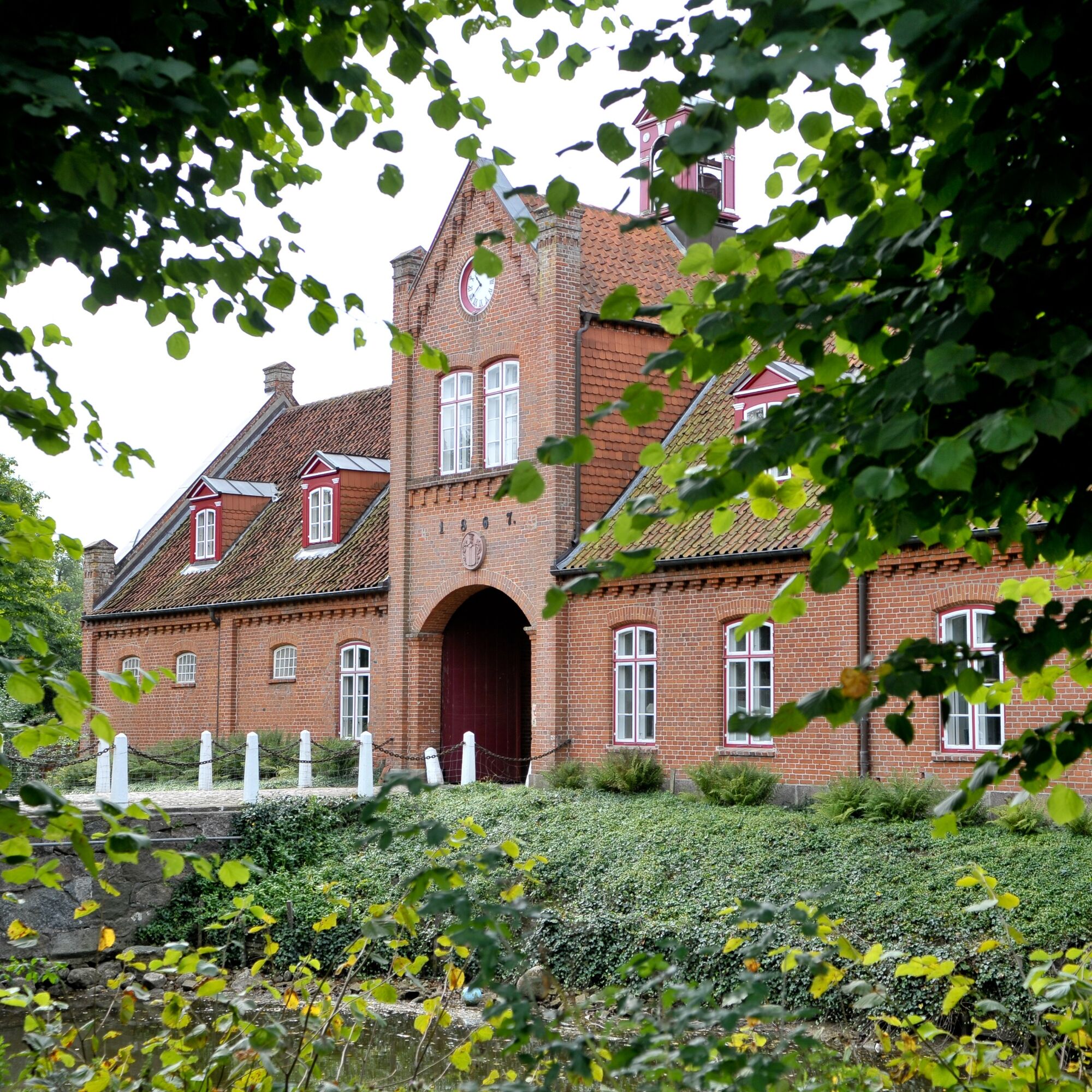
A route that leads you past six different manors, some with English gardens and snow-white facades, others with red brick and surrounding moats.
Start at the church square in Lensahn and ride through the...
A route that leads you past six different manors, some with English gardens and snow-white facades, others with red brick and surrounding moats.
Start at the church square in Lensahn and ride through the Mühlenholz towards the grand ducal residence Güldenstein. Before that, you will pass the Wunderberg (64m). Through Kayhof, the highest point of the route at 99 meters elevation, take a detour to Gut Testorf, founded in 1460, which was the home of Justus Frantz in his early years.
Next is Gut Meischenstorf with its manor house from 1805 and the 5-hectare park with rare trees and shrubs. Slightly further north stands the manor house Fave of the Holck family from the 16th century.
The route back passes Gut Einhaus, where you can spend your holiday in beautiful apartments. Through Harmsdorf, you roll down the main street to take a detour to Gut Petersdorf and the beautiful manor house from 1808.
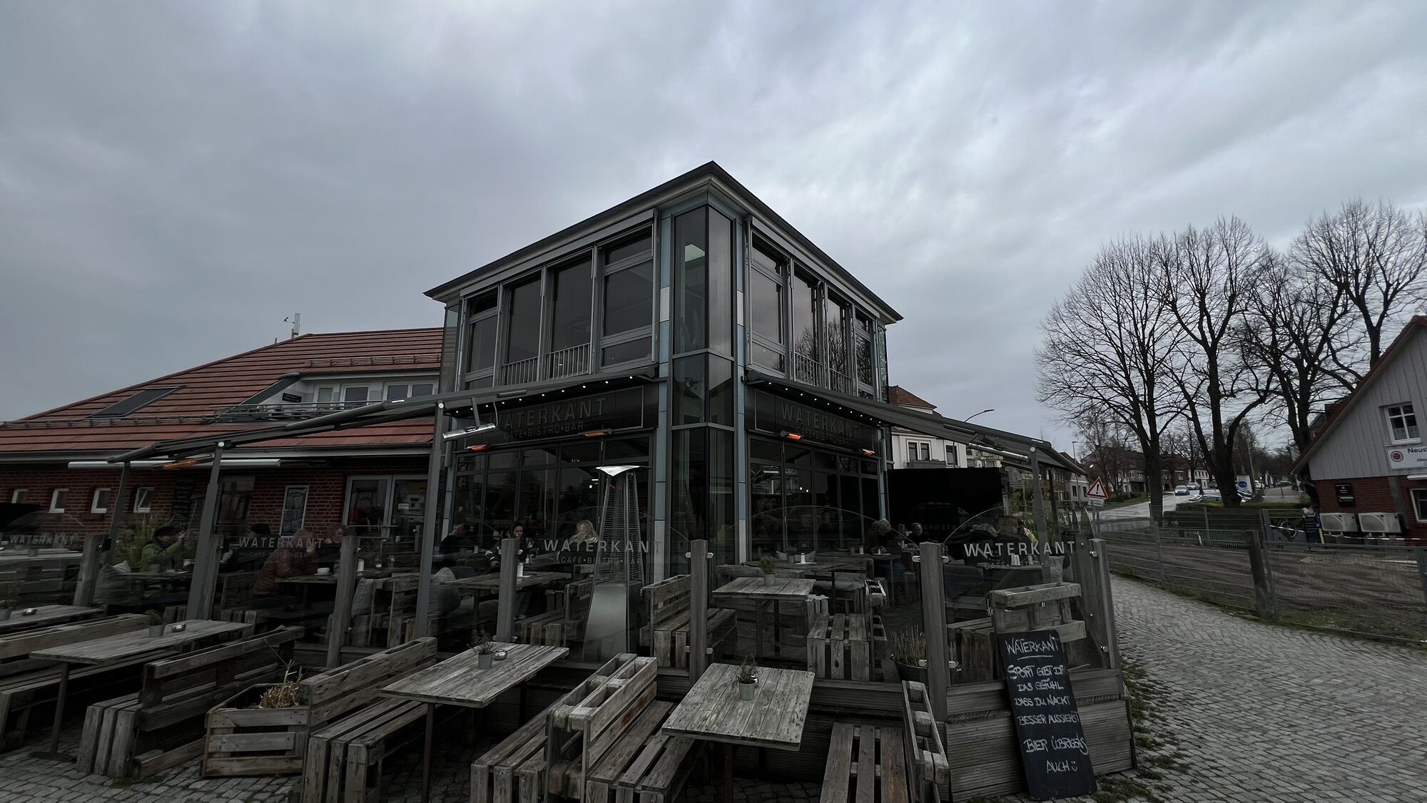
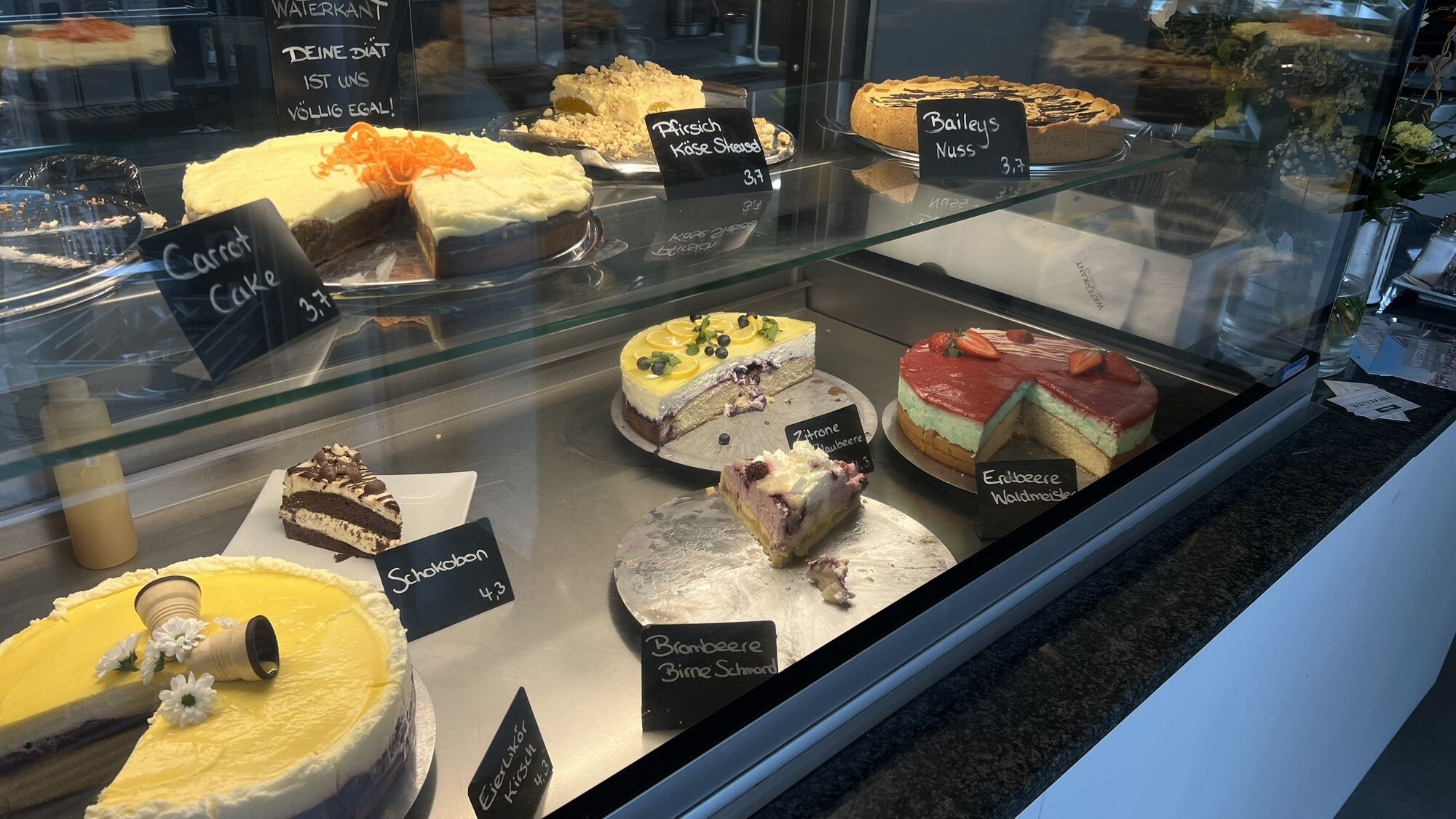
Op de Luhr is the path between tall trees that leads you to Sipsdorf. You turn off towards Moosbruch and Aedeberg to cross the charming Damlos with its many thatched cottages. Via Schwienkuhl you then ride to Kabelhorst to Lunaus Cafe and treat yourself to a large piece of cake. Only a few kilometers more and you'll be back in Lensahn.
We start at the church square in Lensahn heading towards Lensahnerhof. At the fire station, we turn right into the Mühlenholz. Passing Gut Güldenstein and the Scharpenteich towards Kayhof, Nancykate, and Baumkate. We turn left towards Gut Testorf. We turn back and ride to Kreuzkate where we turn left towards Meischenstorf. Then straight ahead to "Farver Burg" and Gut Farve. A short way back and towards Grammdorf, shortly before Johannisdorf we reach our exit to Gut Einhaus. Now steeply uphill to Harmsdorf. We leisurely roll down the hill and then turn left in Johanneshof to cycle to Gut Petersdorf.
Op de Luhr is the name of the path behind the estate and leads us to Sipsdorf. Here we turn right towards Lensahn, but before that we turn off at Moosbruch and ride to Damlos. Following our nose, we continue to Kabelhorst, where Café Lunau awaits us on the left up the hill by the main road.
Rain jacket and provisions
For your own safety, wear a bicycle helmet and bring enough drinks.
Coming from the A1 from Hamburg, take the Lensahn exit. Turn right into town, then at Rossmann turn into Bäderstraße. Here you will find the church with the starting point.
Coming by train from Hamburg-Lübeck to Lensahn station. Continue on Bäderstraße to the town center (Rossmann / town hall).
Turn into Eutiner Straße, where the church and the starting point are located.
Parking is available free of charge at the church square.
3
A route for all who want to take a little journey back in time.
Oblíbené prohlídky v okolí
-
5.0
Megamarsch Ostsee 2024
středníTuristika 51.0 km -
His Tour in the OstseeFerienLand
světloJízda na kole 43.5 km -
Cismar route
heavyTuristika 14.8 km -
Hofcafé-Tour
středníJízda na kole 79.1 km -
Cultural route in the Baltic Sea Holiday Land
středníJízda na kole 58.4 km -
Forest and Culinary Route
středníJízda na kole 21.6 km -
Route around Gut Görtz with a view of the Baltic Sea
středníJízda na kole 55.5 km -
E-Bike-Tour nach Heiligenhafen
středníJízda na kole 45.5 km -
Klostersee route
heavyTuristika 9.30 km -
Large mill pond route
světloTuristika 3.28 km

Pěší turistika a stopování


Nenechte si ujít nabídky a inspiraci pro vaši příští dovolenou
Vaše e-mailová adresa byl přidán do poštovního seznamu.