


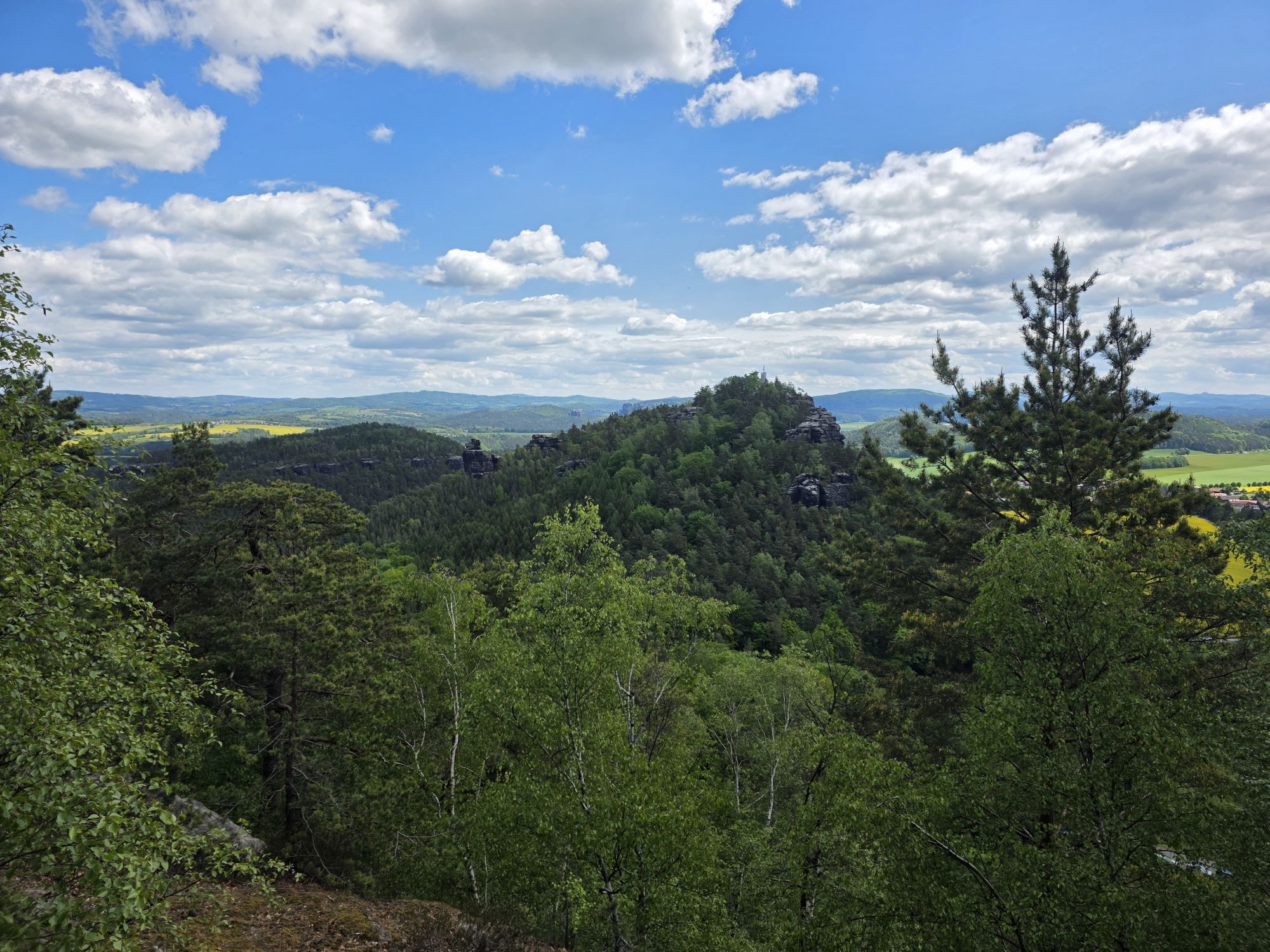
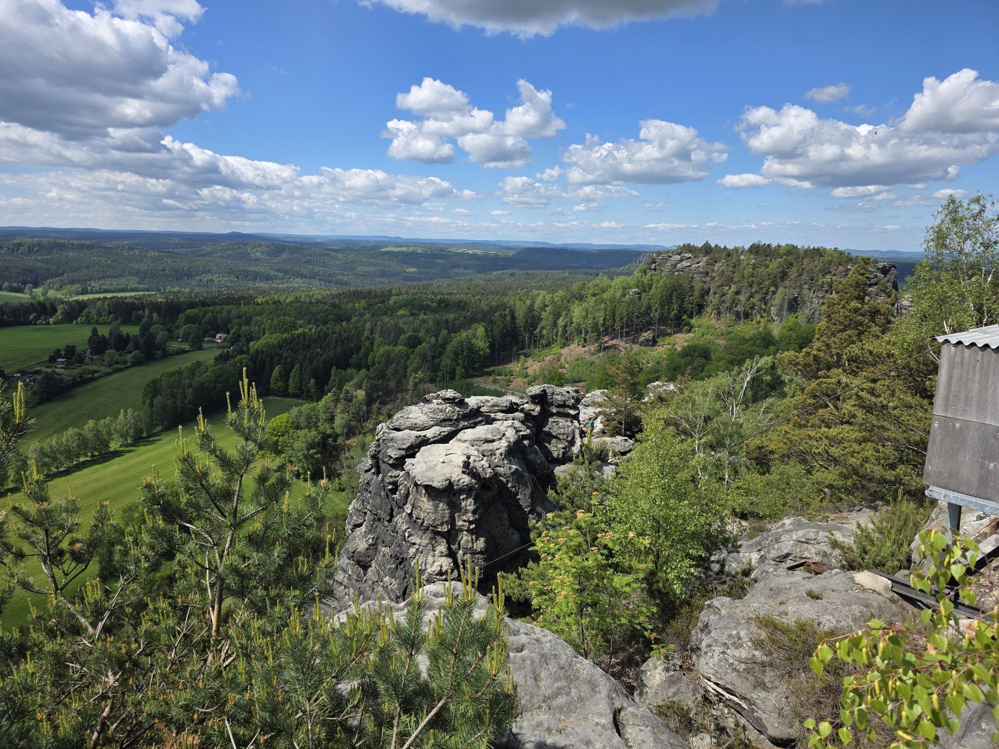
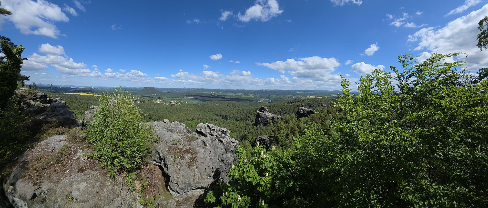
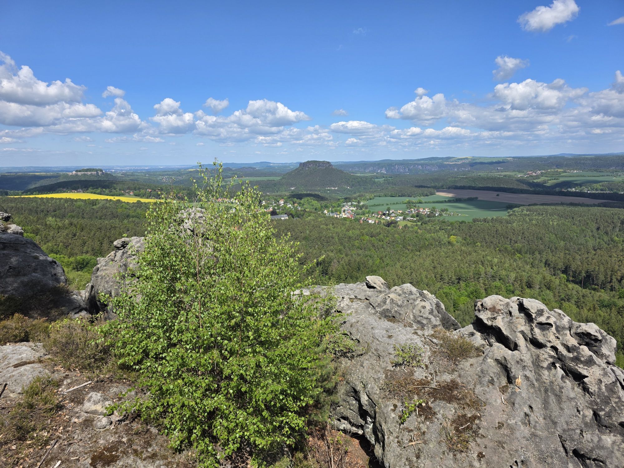
Malerweg, Stage 6: From Schmilka to the spa town of Gohrisch (official version TV Saxon Switzerland)
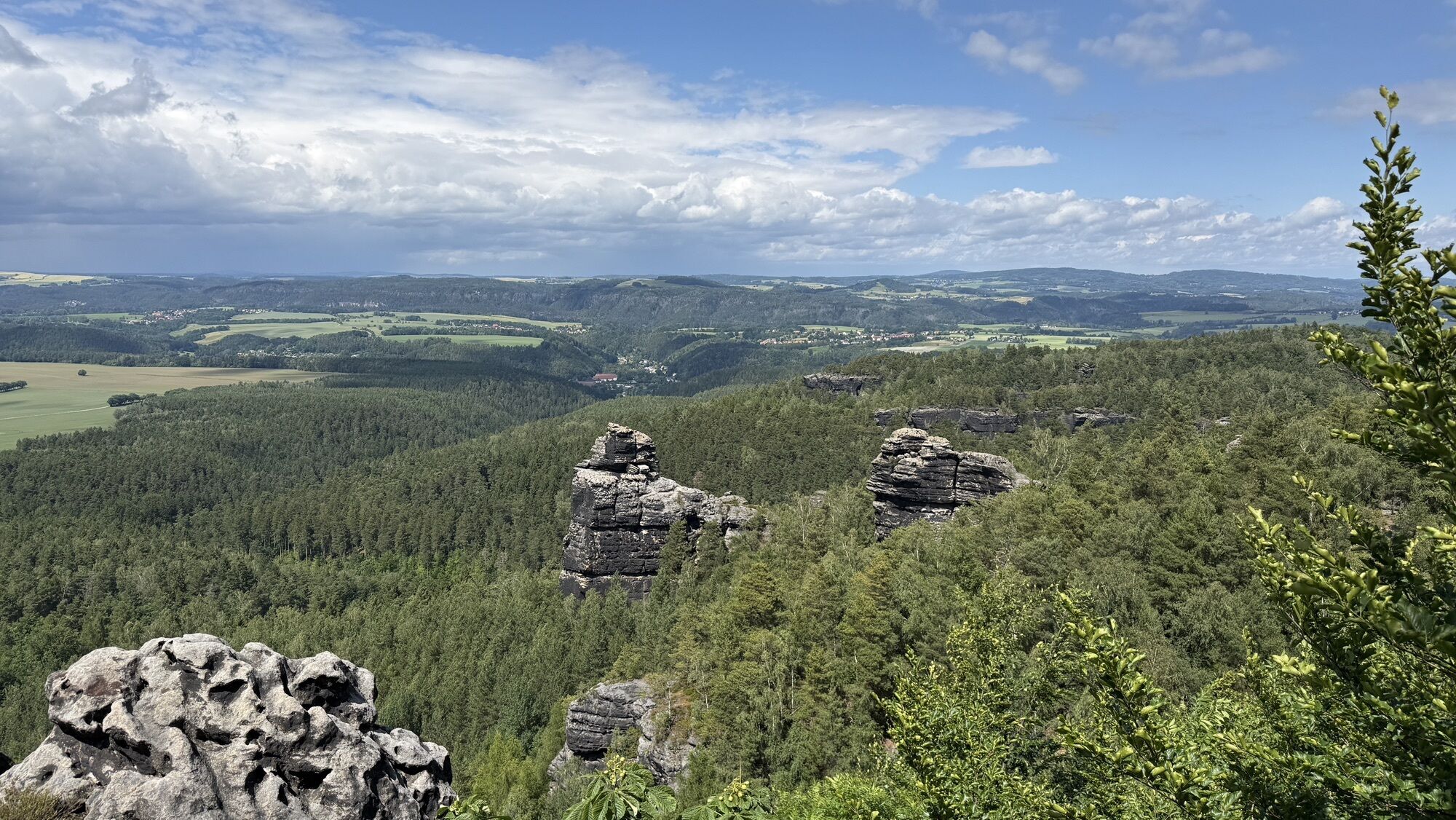
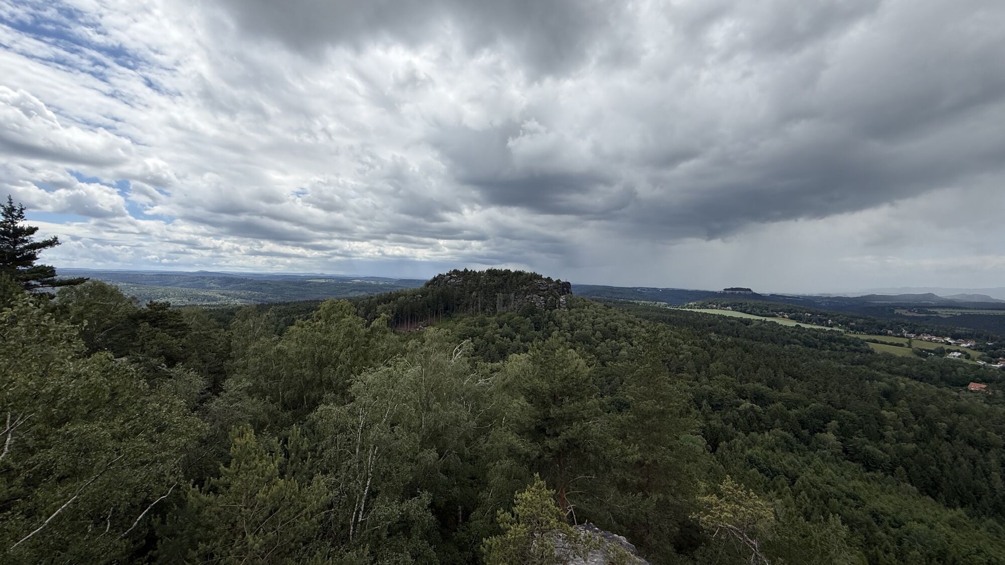
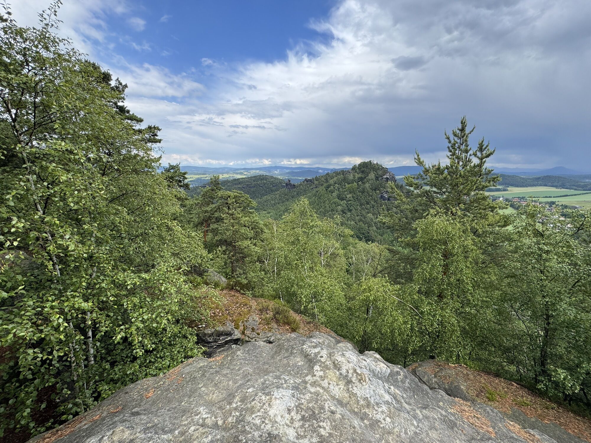
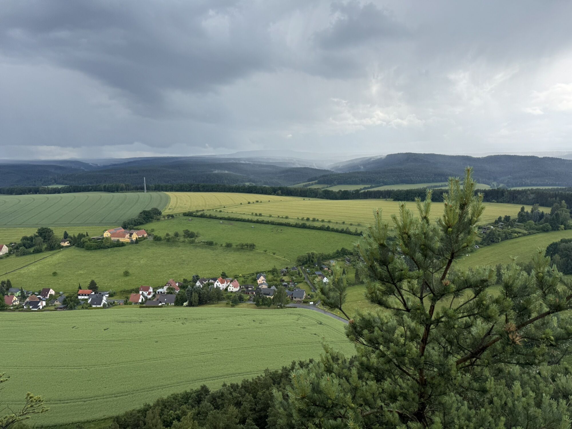
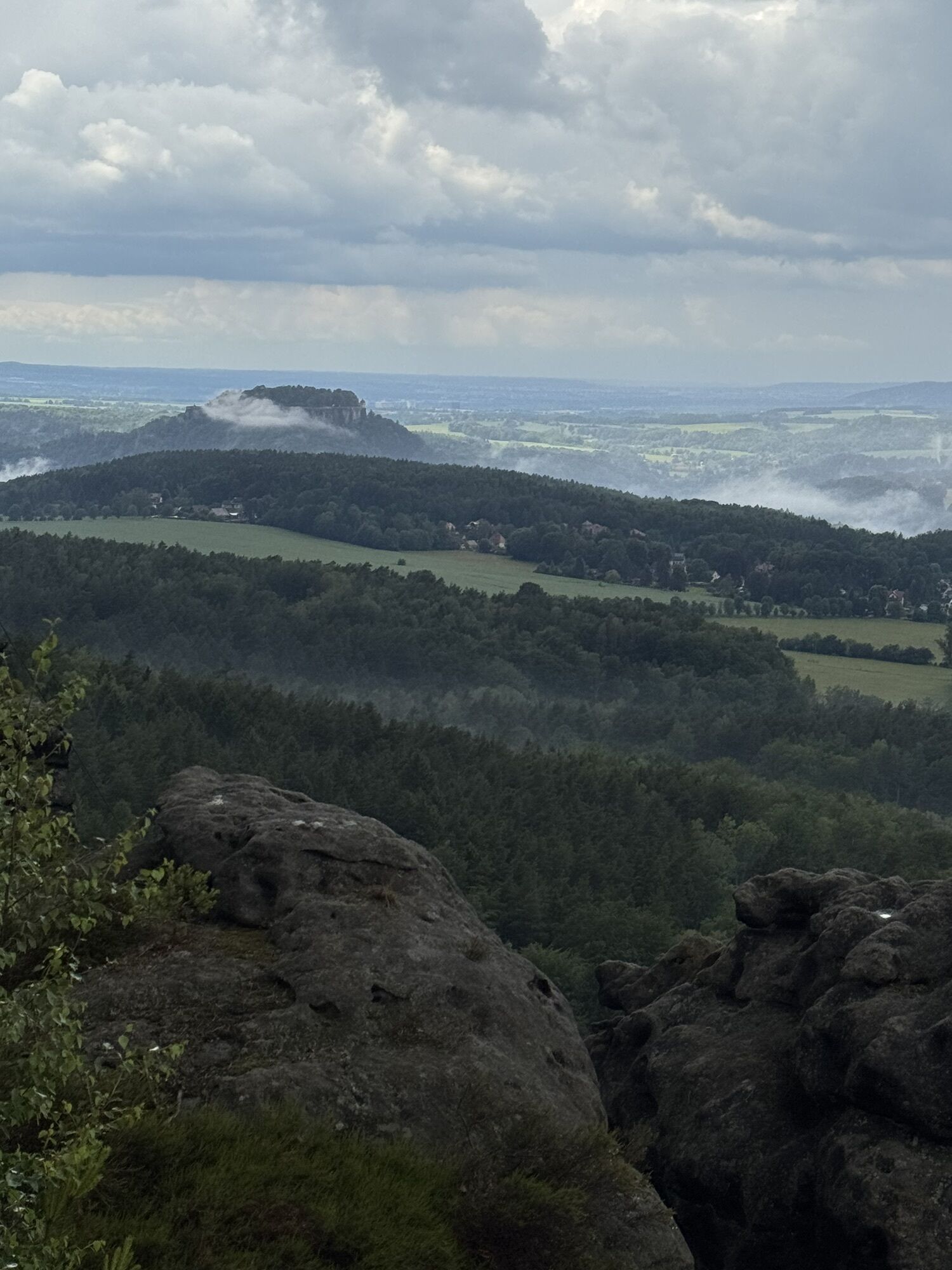
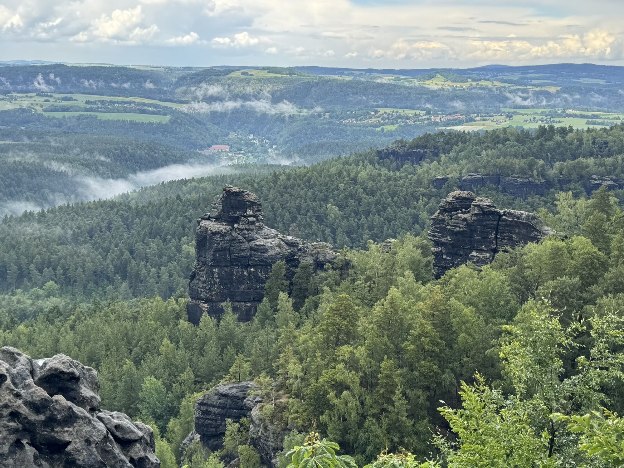
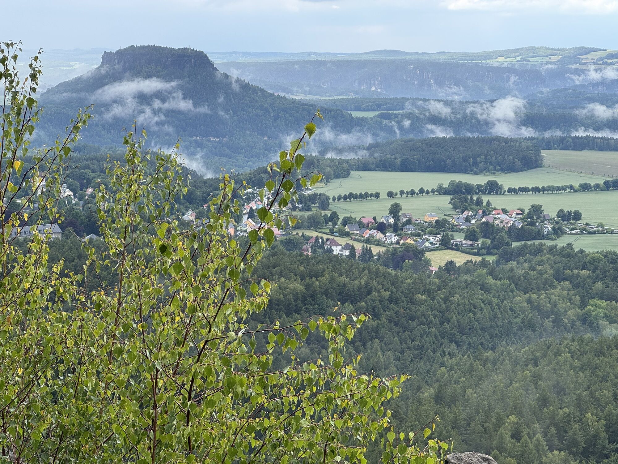
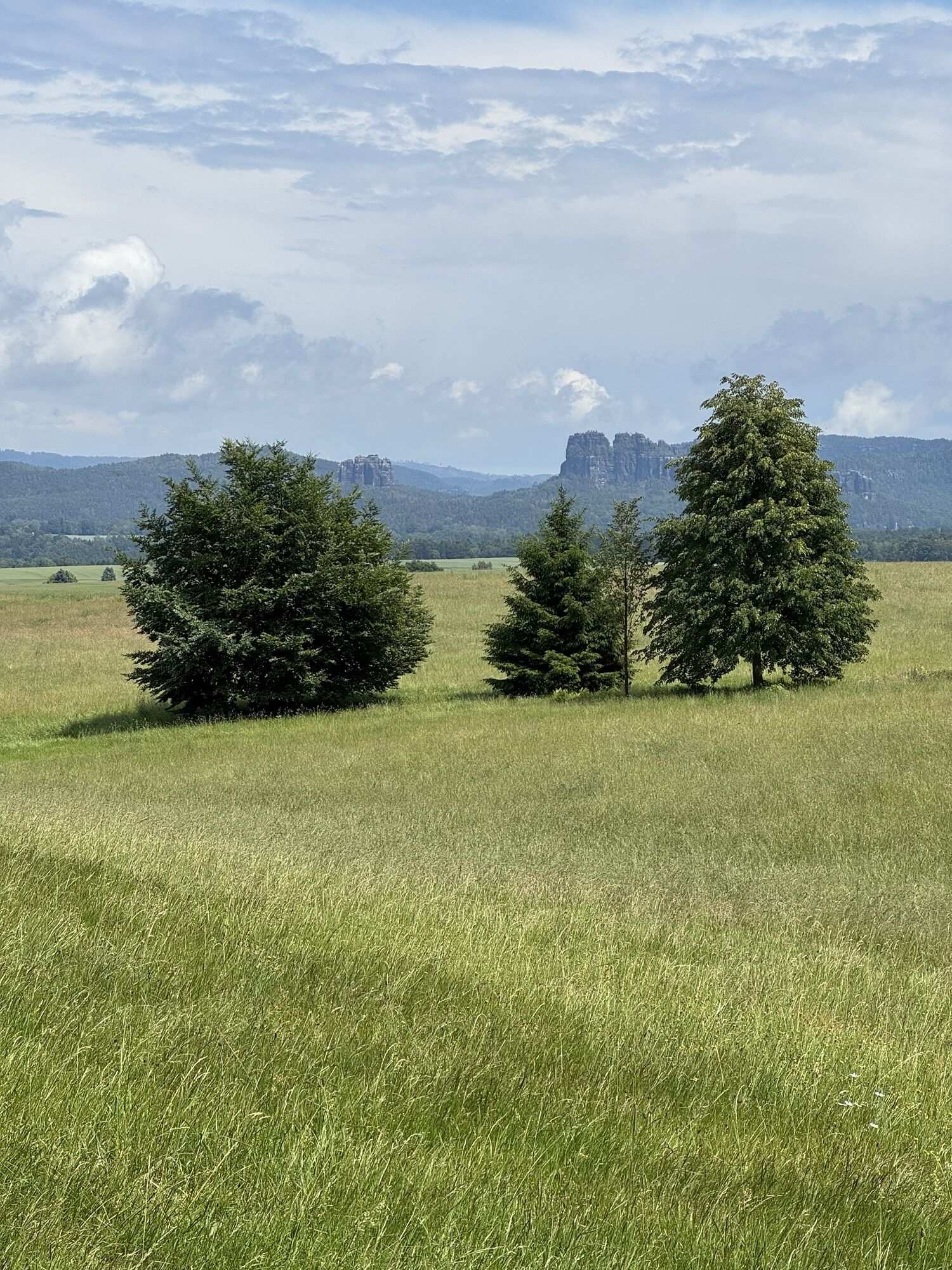
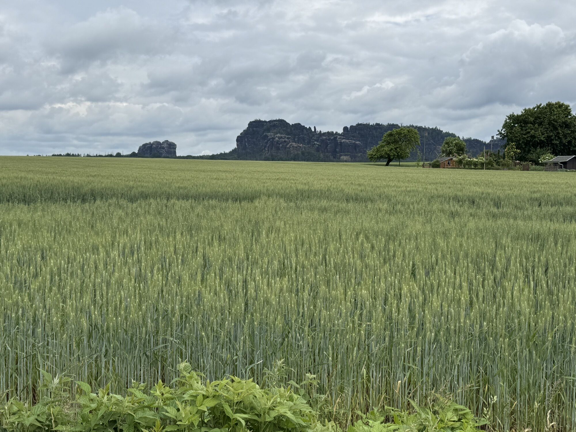
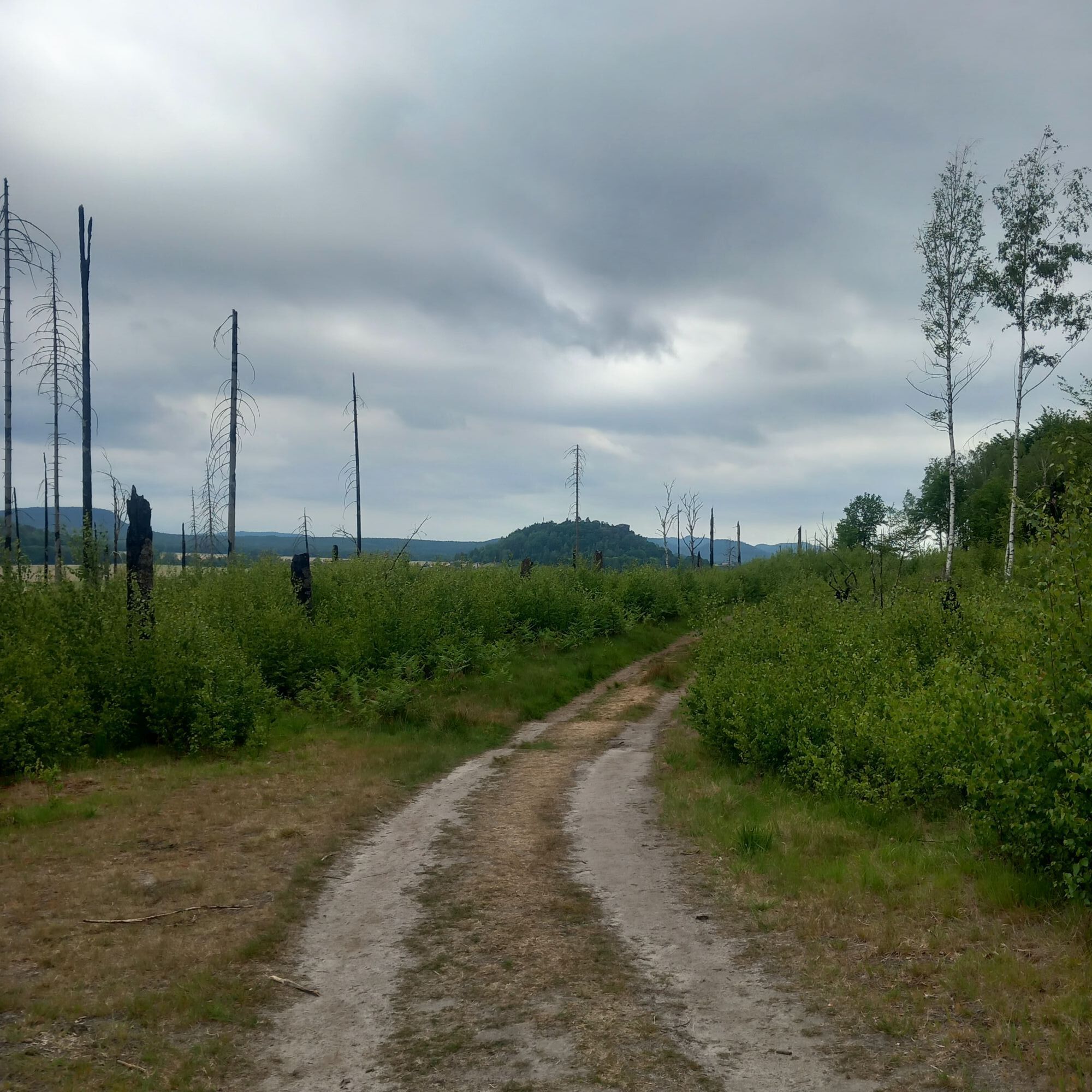
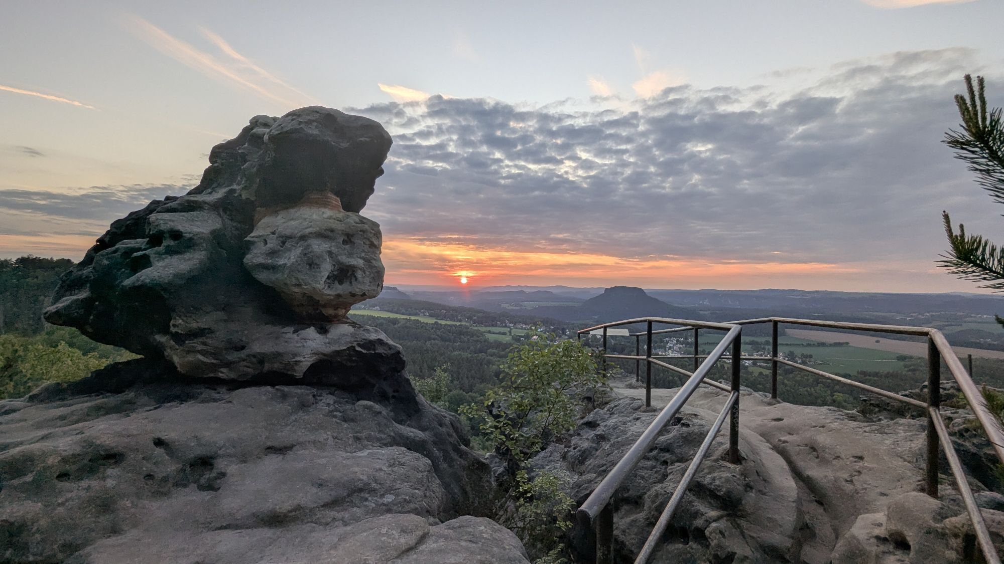
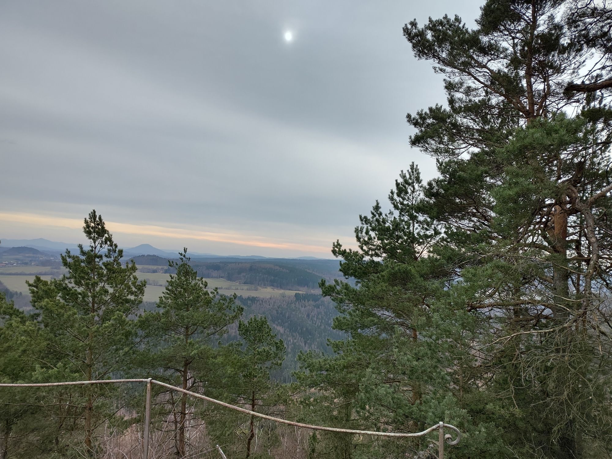
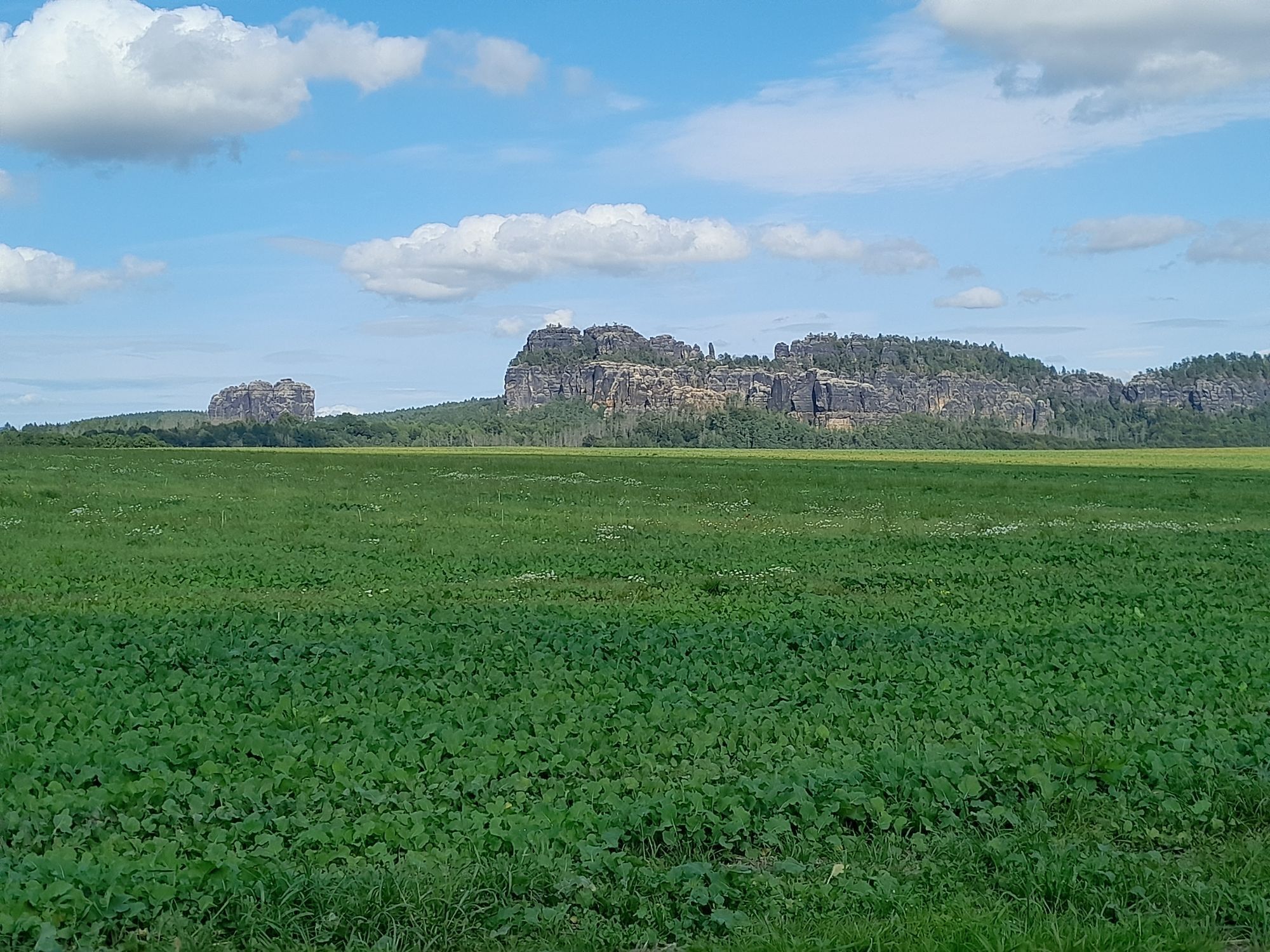
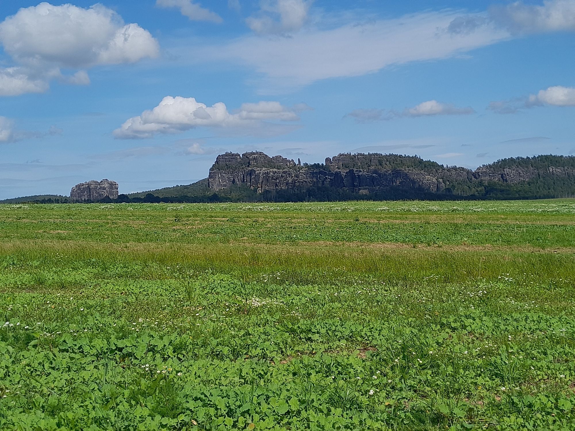
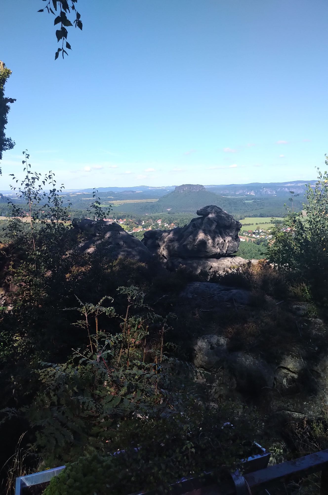
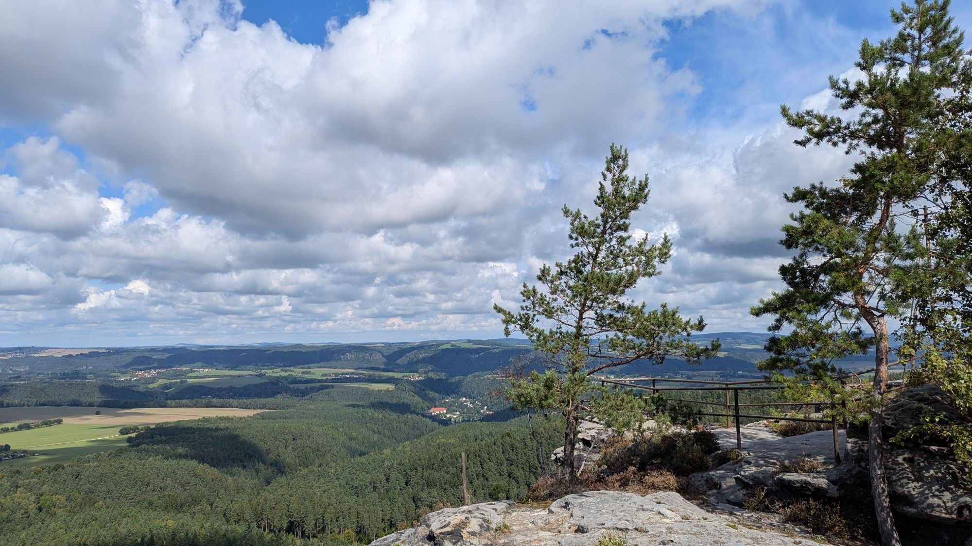
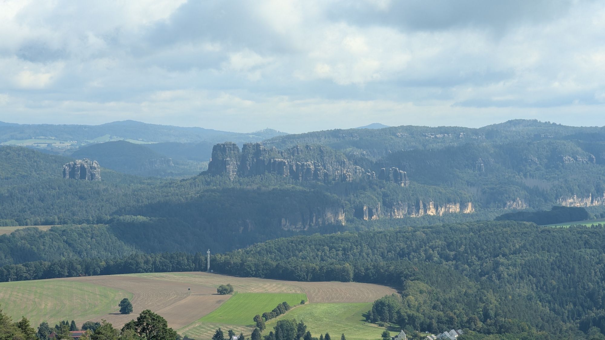

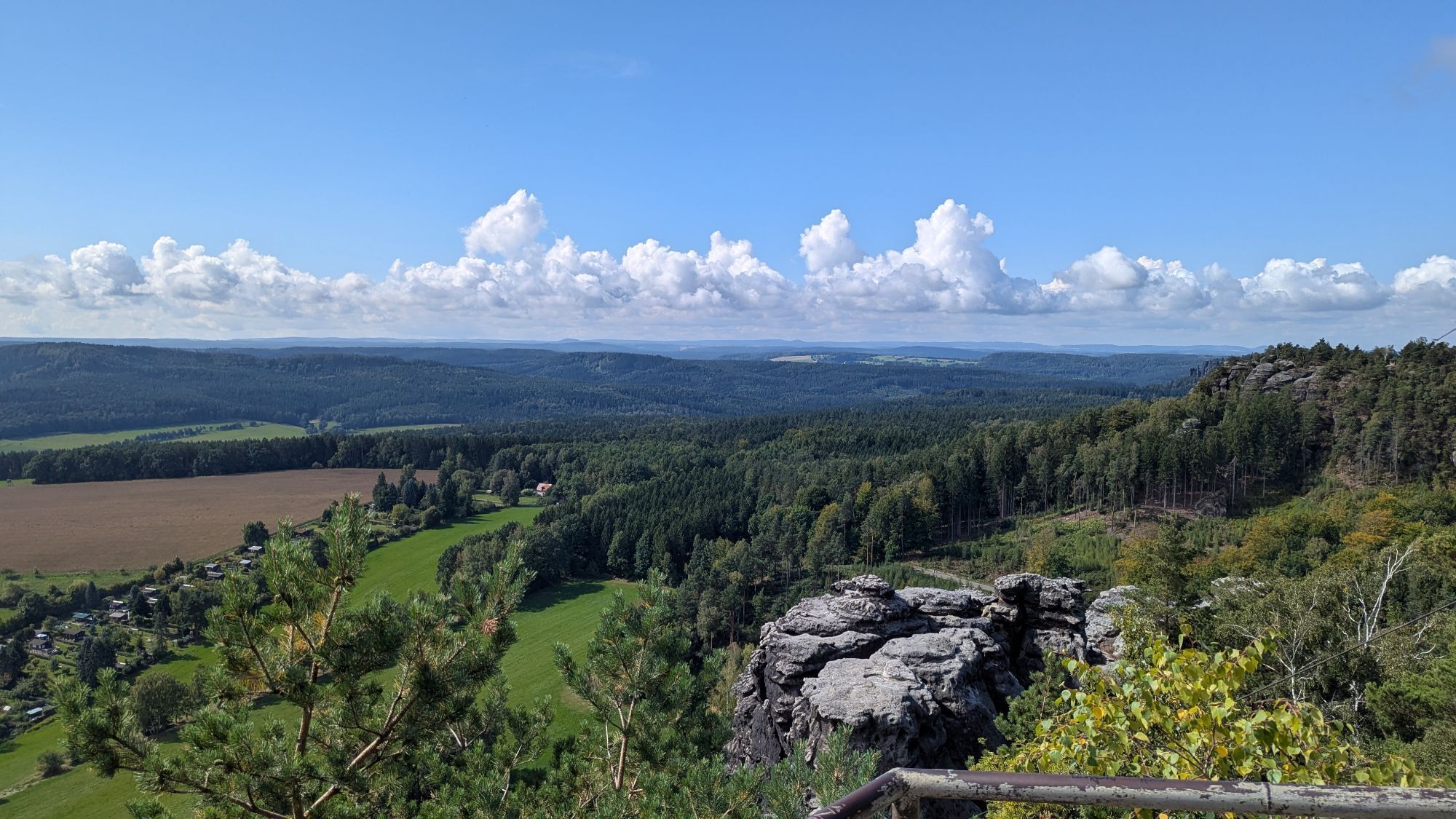
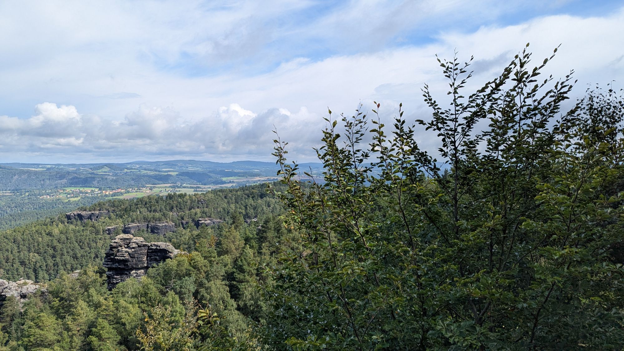
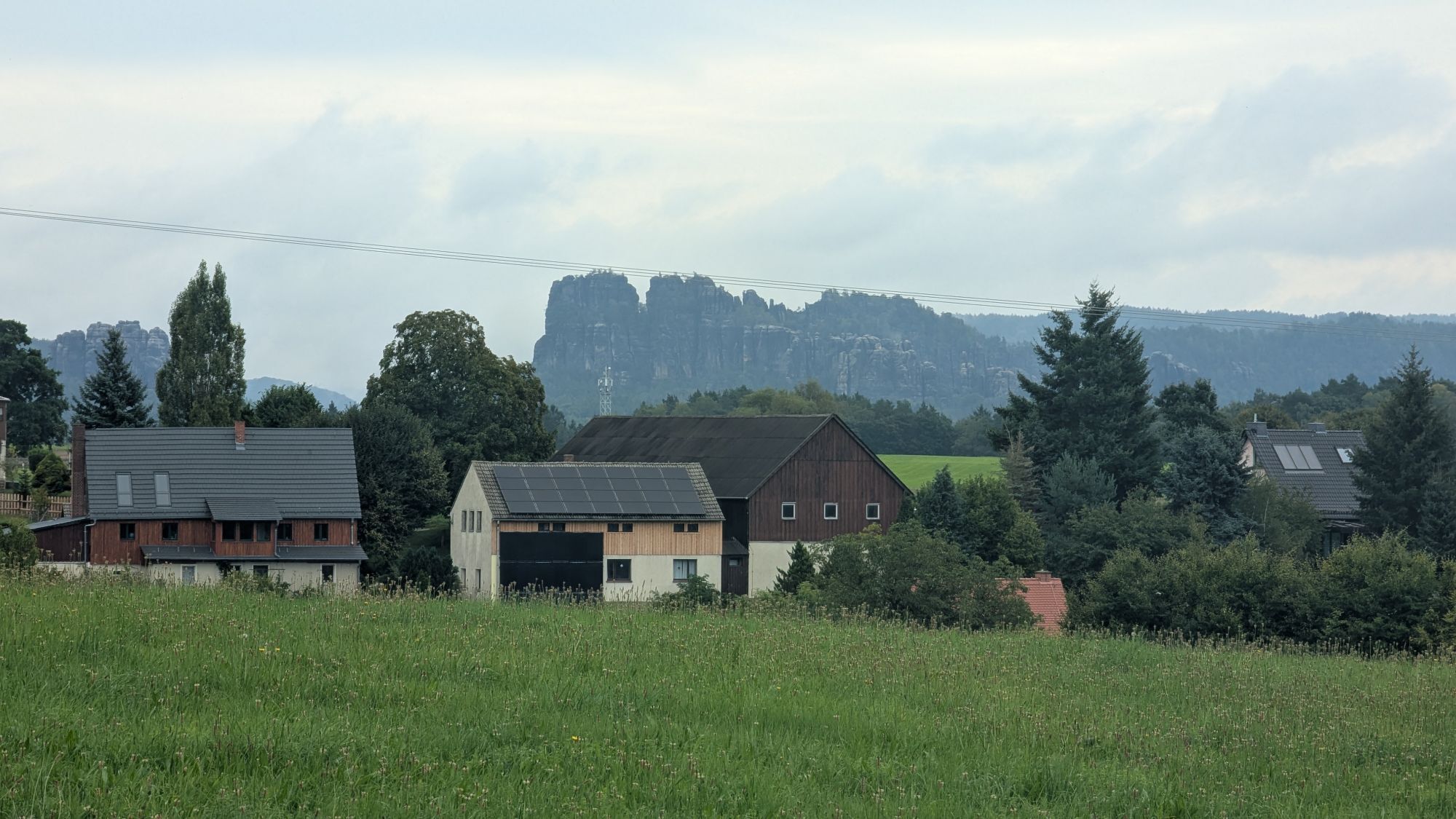


Schmilka - Elbfähre - S-Bahn-Haltepunkt Schmilka-Hirschmühle - Aschersteig - Schöna - Caspar-David-Friedrich-Rundweg - Wolfsberg - Reinhardtsdorf - Krippenberg - Püschelweg - Elysiumweg - Koppelbergsweg...
Schmilka - ElbfaÌhre - S-Bahn-Haltepunkt Schmilka-HirschmuÌhle - Aschersteig - SchoÌna - Caspar-David-Friedrich-Rundweg - Wolfsberg - Reinhardtsdorf - Krippenberg - PuÌschelweg - Elysiumweg - Koppelbergsweg - LiethenmuÌhle - Alter Schulweg - Papststein - Gohrisch (Stein) - Muselweg - Gohrisch
GPS- data updated 2021
Order here: Malerweg Shop
Sturdy shoes required
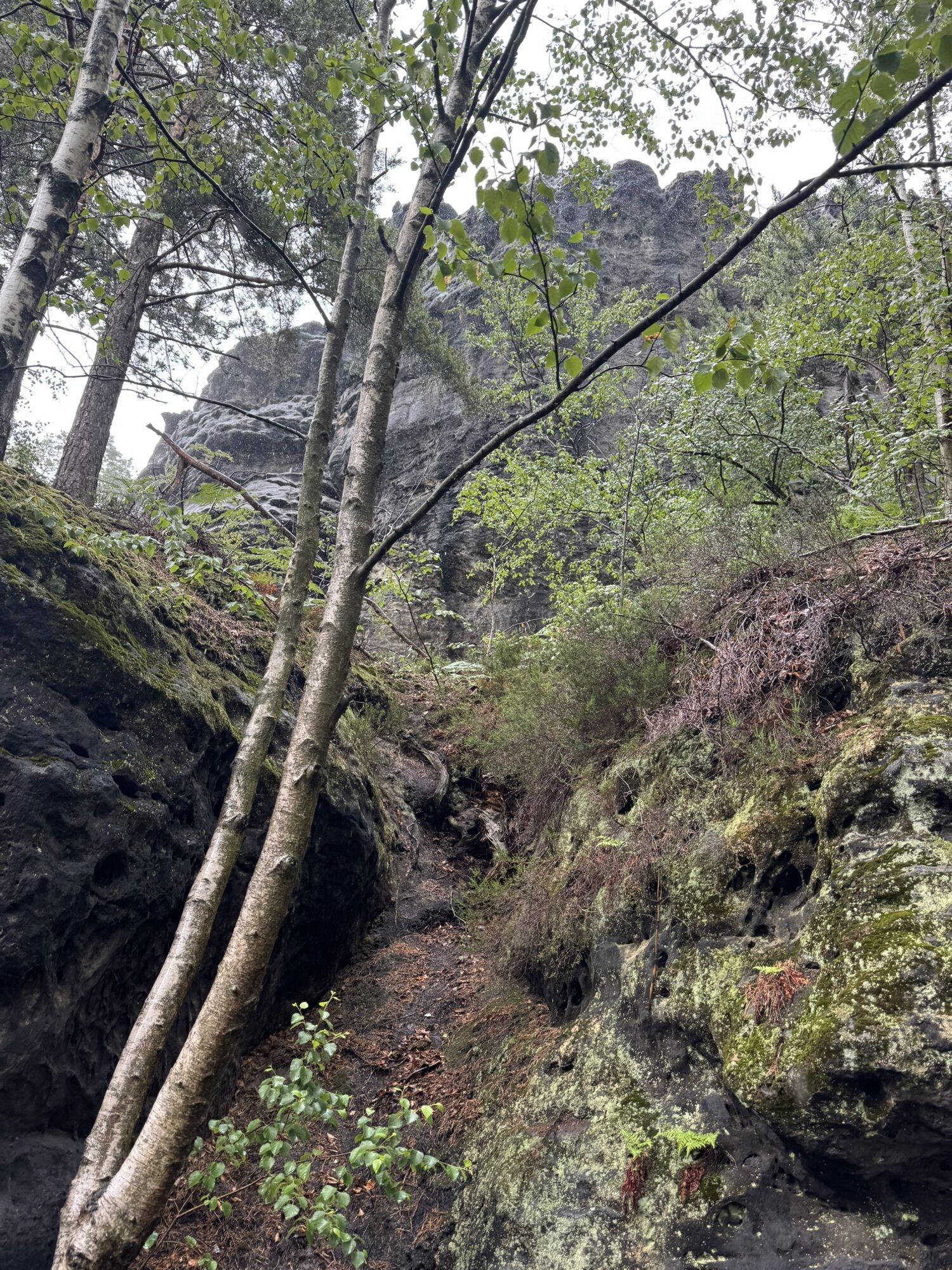
Please note: in the Saxon Switzerland National Park, only marked trails may be used in the core zone! In case of violation, fines may be imposed.
Central location between Dresden and Prague (50 min. from Dresden and 1.5 hrs. from Prague) via A17, exit Pirna or Decin (if coming from Prague), continue via B172 to Bad Schandau to Schmilka. Large parking lot available.
Departure:
Bus lines 244 a (Kleingießhübel - Königstein) and244 b (Kleinhennersdorf - Bad Schandau), bus stop: Gohrisch parking lot
Parking lot - "wood yard" or "ferry".
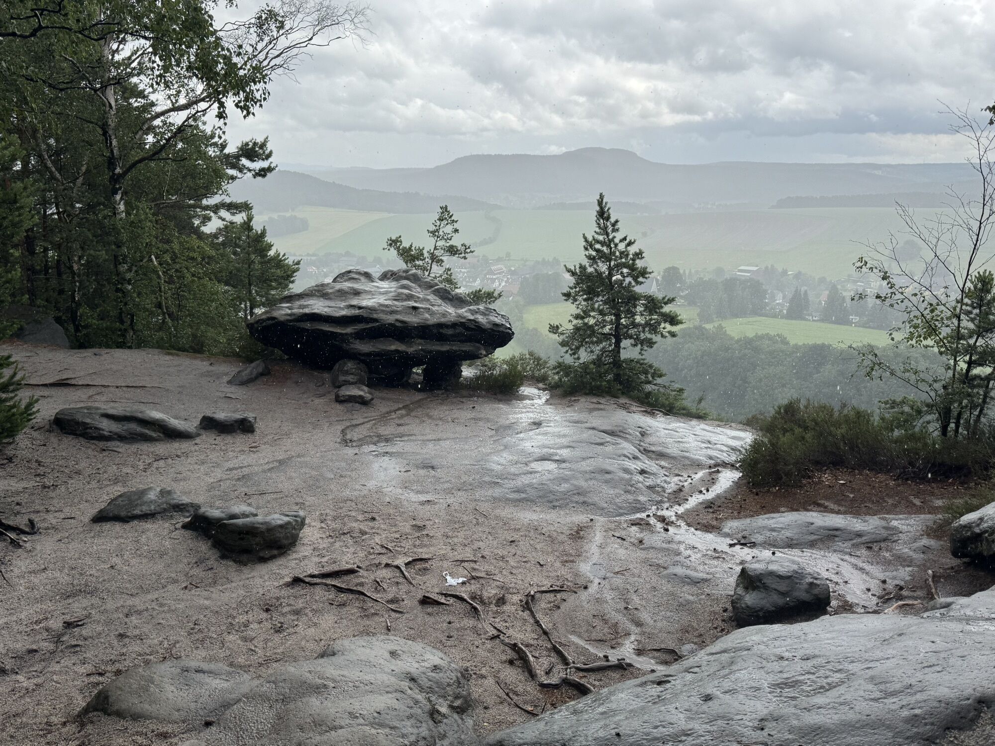
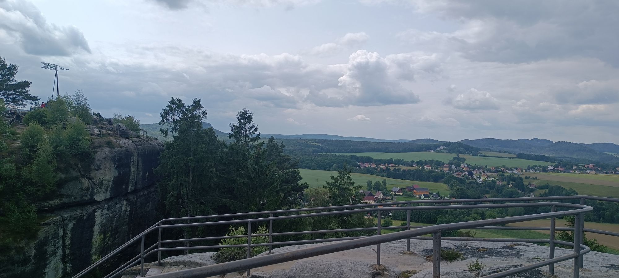
The restaurant on the Wolfsberg is recommended for refreshment before you continue hiking the Malerweg. With Saxon hospitality, you can enjoy wonderful regional cuisine or take a break for a drink with a fantastic view of Saxon Switzerland.

Oblíbené prohlídky v okolí
-
4.7
Rathen / Hockstein / Bastei / Rathen
středníTuristika 14.4 km -
4.6
Von Rathewalde zur Bastei
Turistika 12.8 km -
4.7
Rundwanderung Bastei Schwendenlöcher -Amselsee
světloTuristika 6.21 km -
4.5
Kuhstall, Himmelsleiter und Schneiderloch
středníTuristika 4.06 km -
4.7
Pfaffenstein Sachsen/Deutschland
středníTuristika 3.89 km -
5.0
Basteibrücke
světloTuristika 2.31 km -
5.0
Lilienstein
světloTuristika 3.75 km -
5.0
Prebischtor
středníTuristika 18.9 km -
4.9
entlang der Schrammsteine, Breite Kluft, Affenwand
středníTuristika 11.6 km -
4.4
Kurort Rathen: Große Bastei-Runde
středníZimní turistika 4.75 km
Pěší turistika a stopování


Nenechte si ujít nabídky a inspiraci pro vaši příští dovolenou
Vaše e-mailová adresa byl přidán do poštovního seznamu.