
Gratwanderung auf den Schrammsteinen
heavy
Pořiďte si tuto prohlídku do mobilního telefonu
Gratwanderung auf den Schrammsteinen
heavy
Turistika
7.49
km
Naskenujte QR kód a spusťte navigaci v aplikaci bergfex.


Pěší turistika a stopování





Gratwanderung auf den Schrammsteinen
heavy
Vzdálenost
7.49
km
Doba trvání
02:50
h
Ascent
325
hm
Hladina moře
123 -
405
m

Navigujte po trase v aplikaci
Nainstalujte si aplikaci zdarma a mějte trasu vždy na očích díky GPS navigaci a sledování polohy.
Využijte nyní službu „ bergfex “ v aplikaci
Naskenuj QR kód pomocí fotoaparátu
Jakmile je aplikace nainstalována, obsah se otevře přímo. Pokud aplikaci ještě nemáš, budeš přesměrován na stránku, kde si ji můžeš zdarma stáhnout.
Stažení skladby
Gratwanderung auf den Schrammsteinen
heavy
Turistika
7.49
km
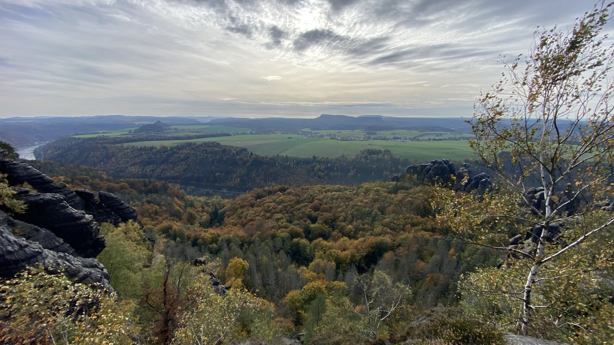
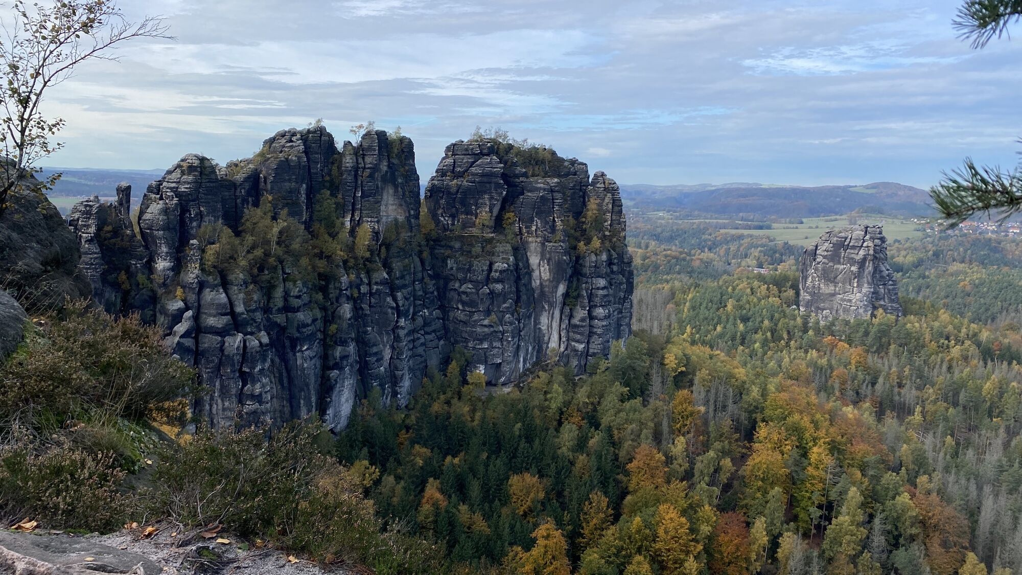
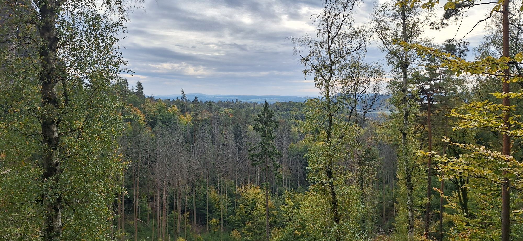
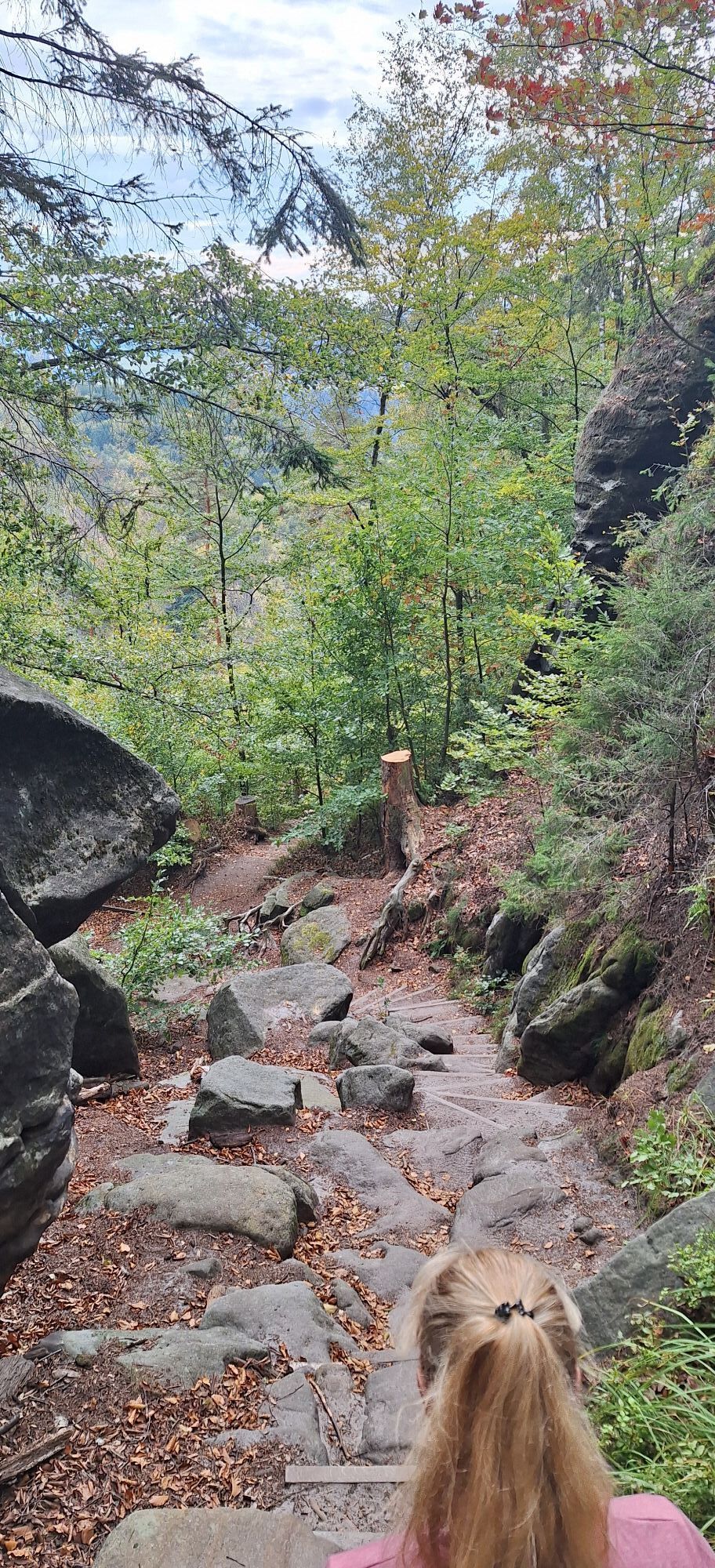
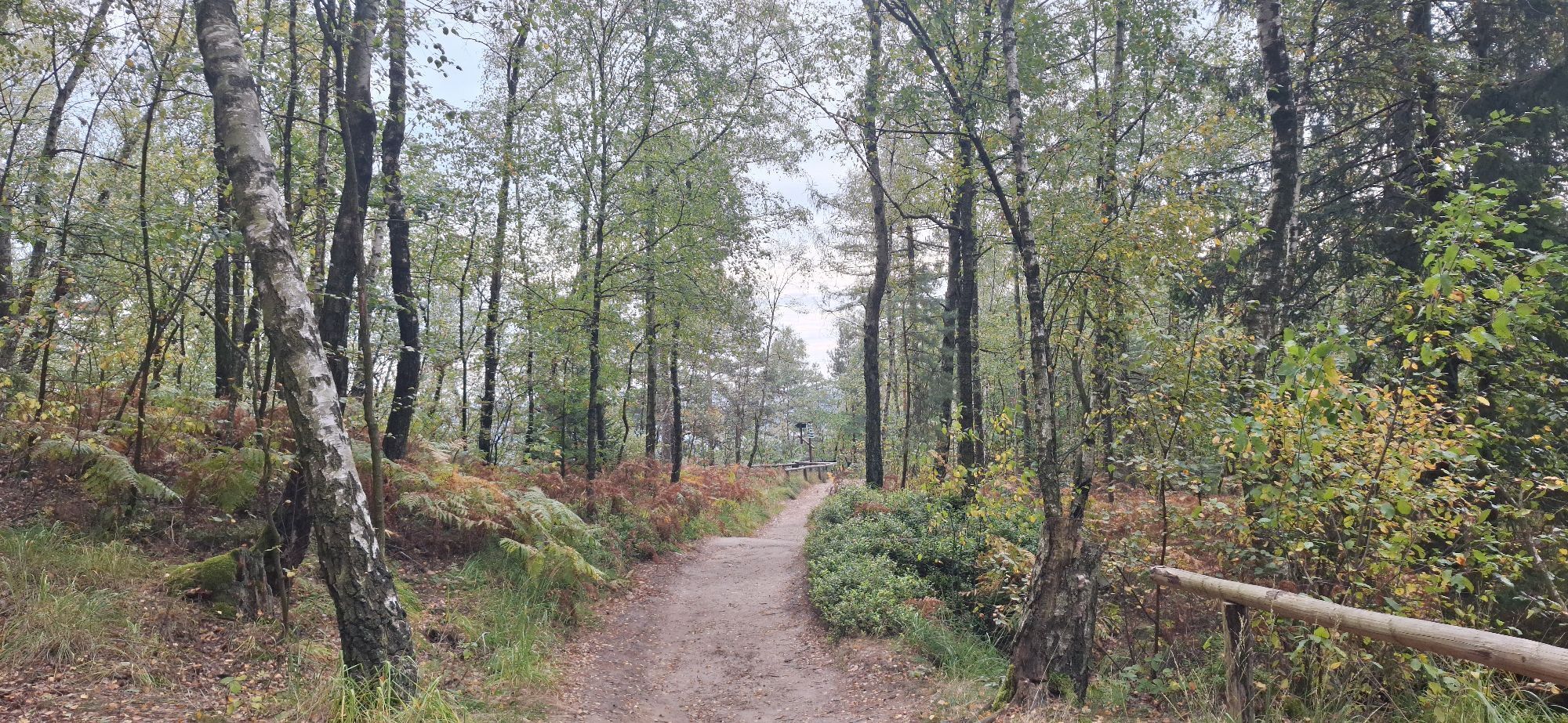
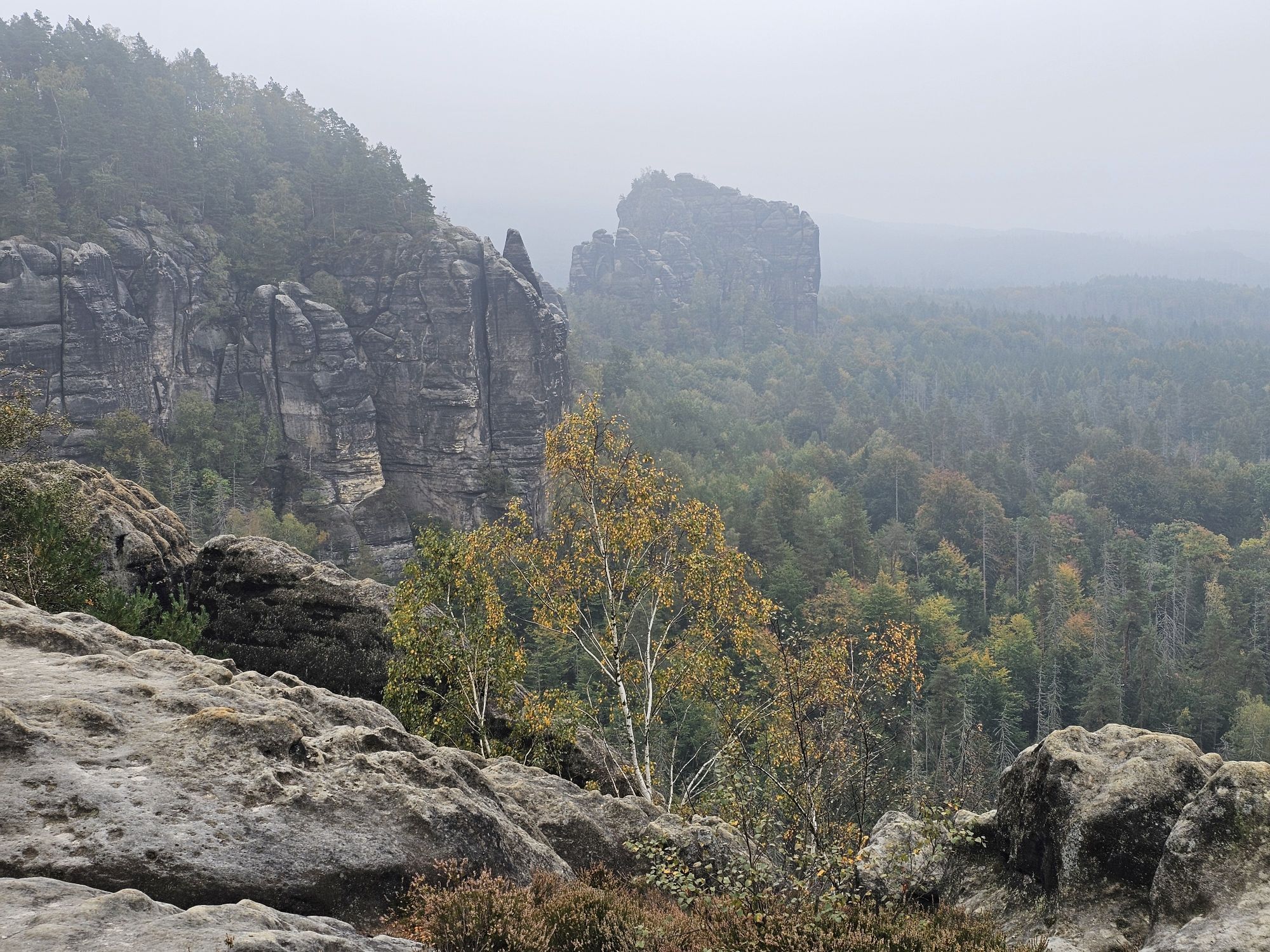
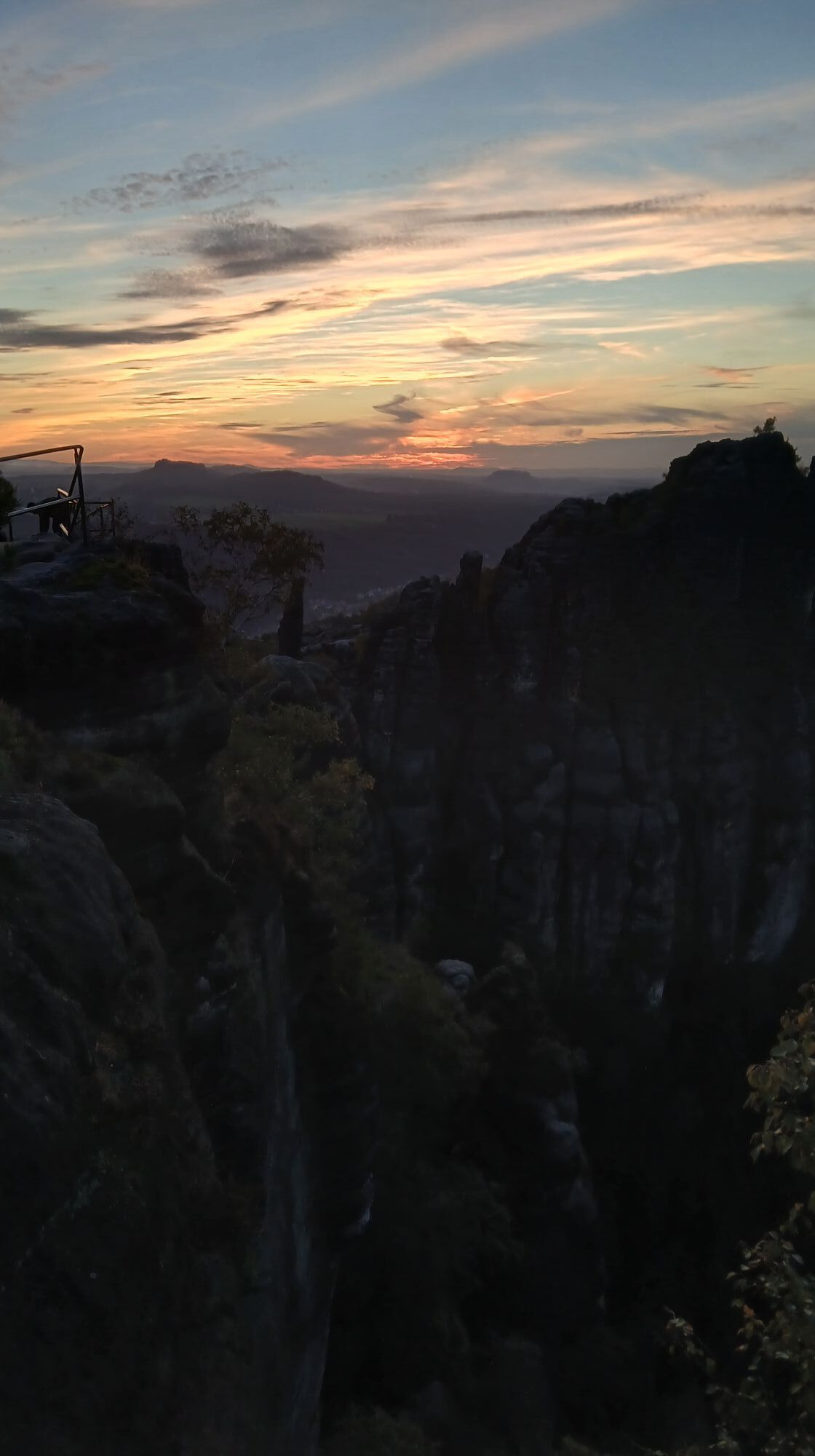
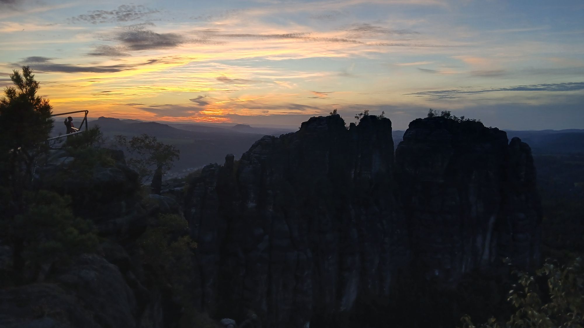
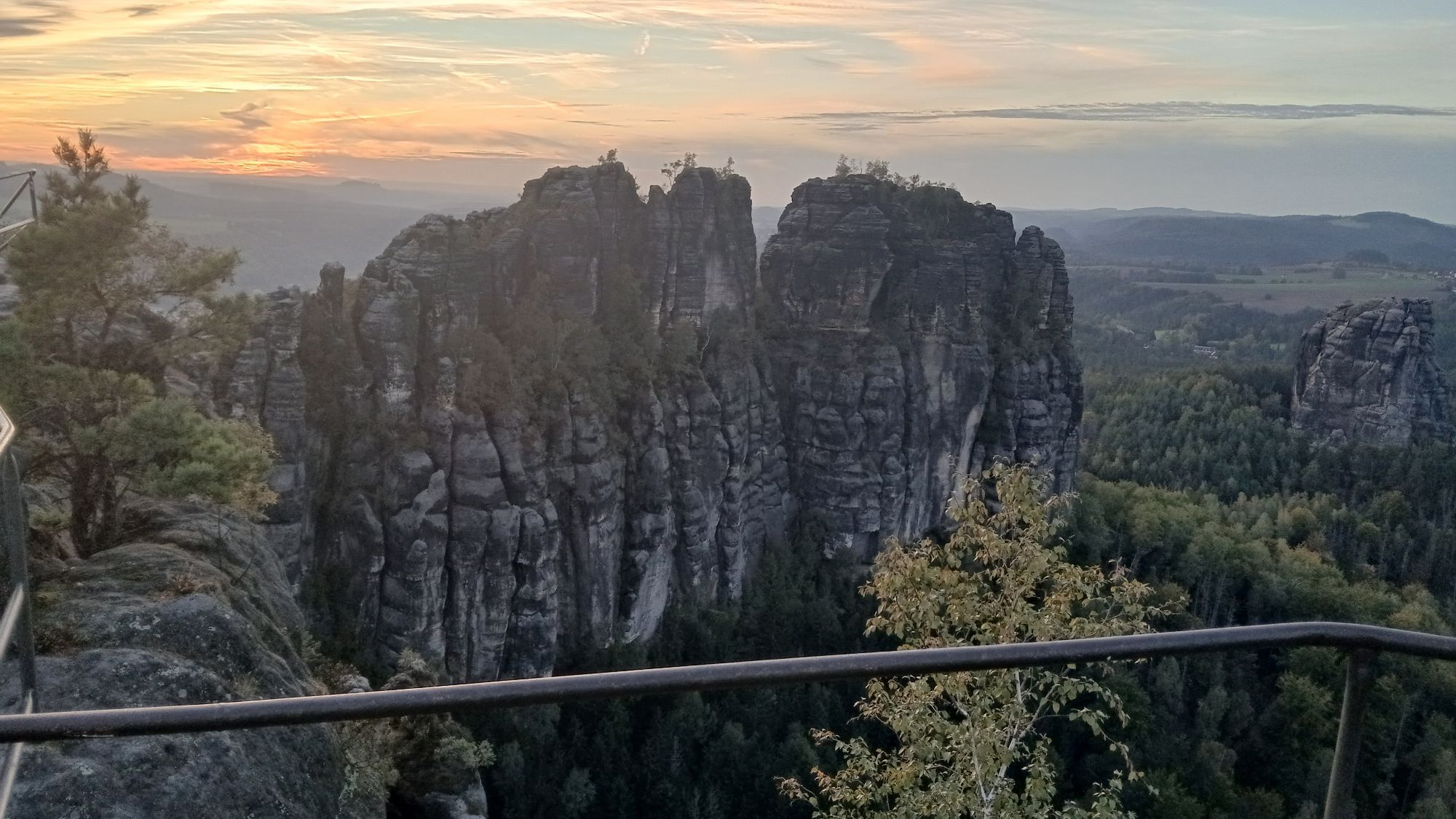
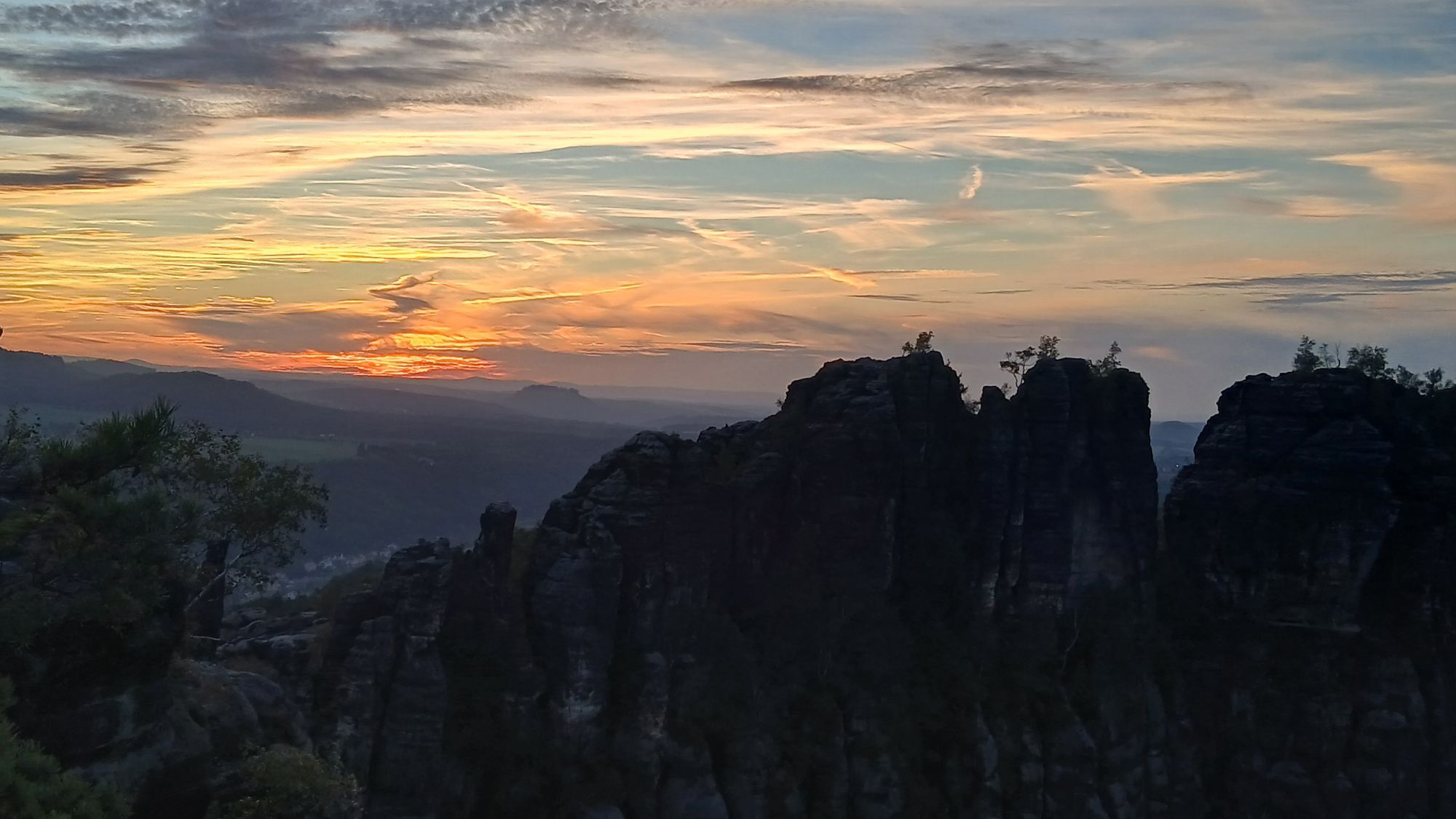
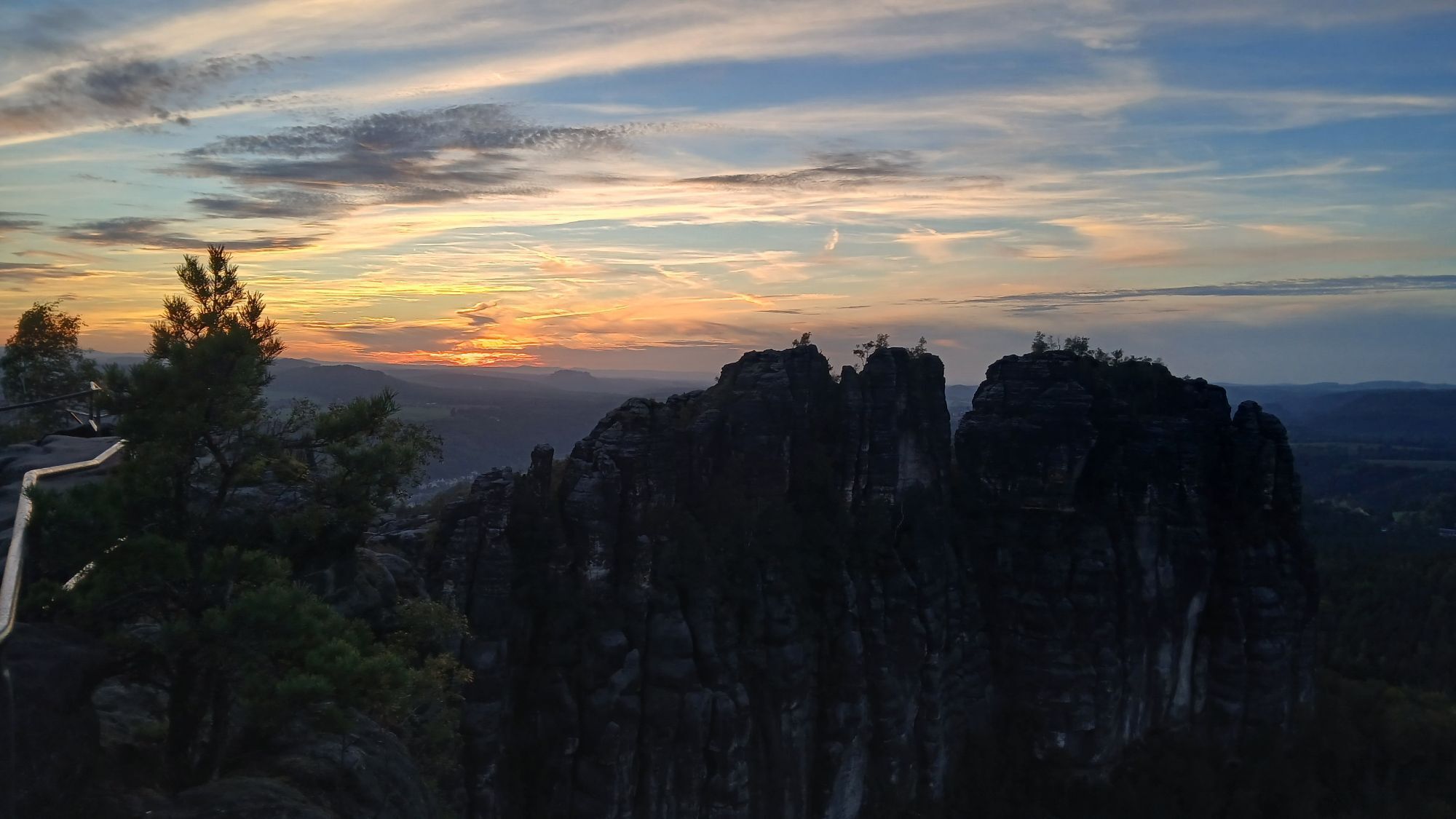
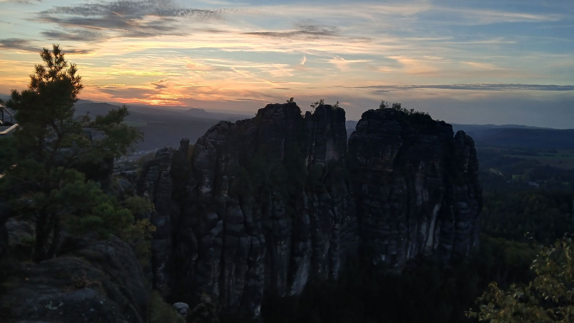
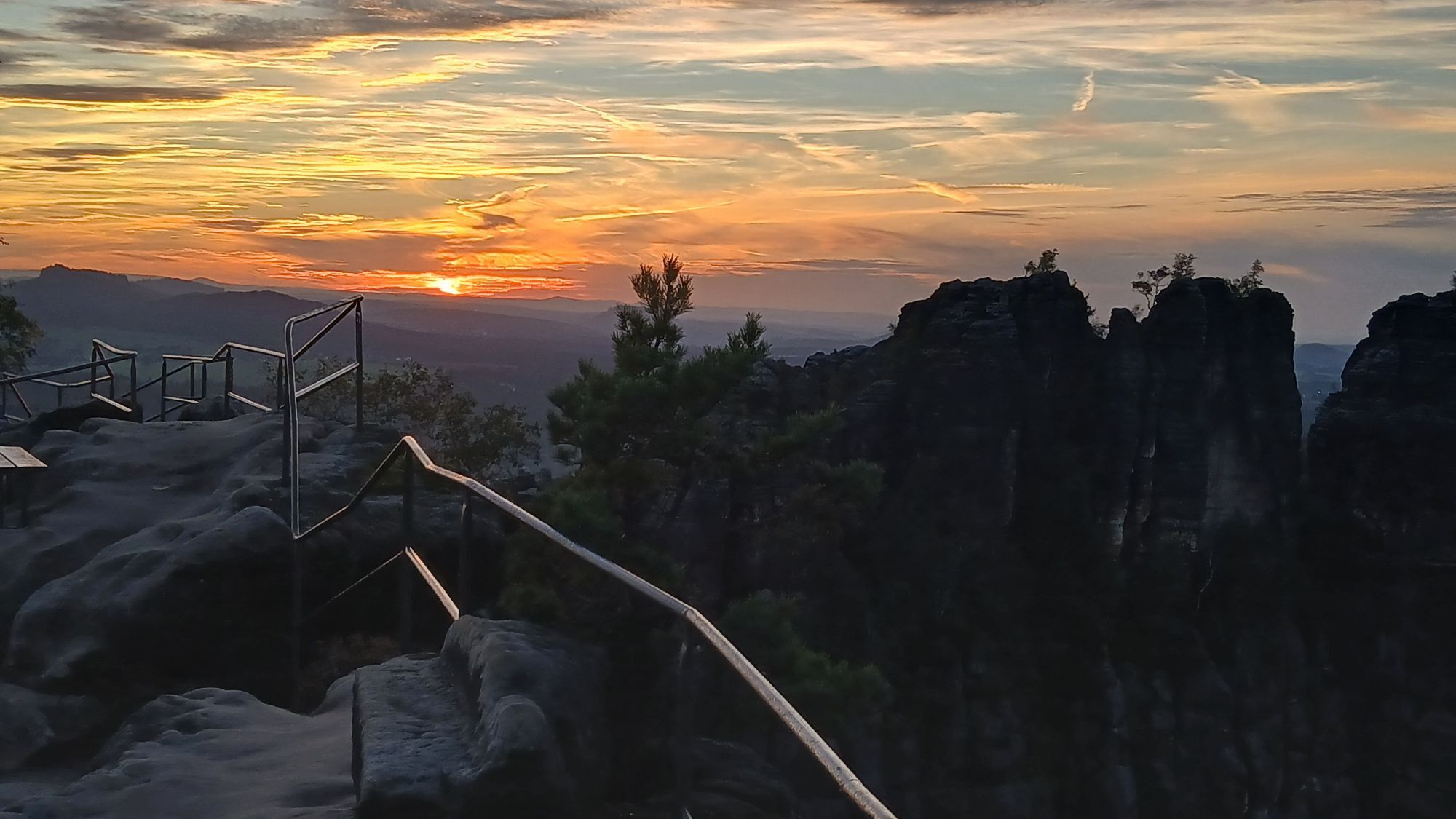
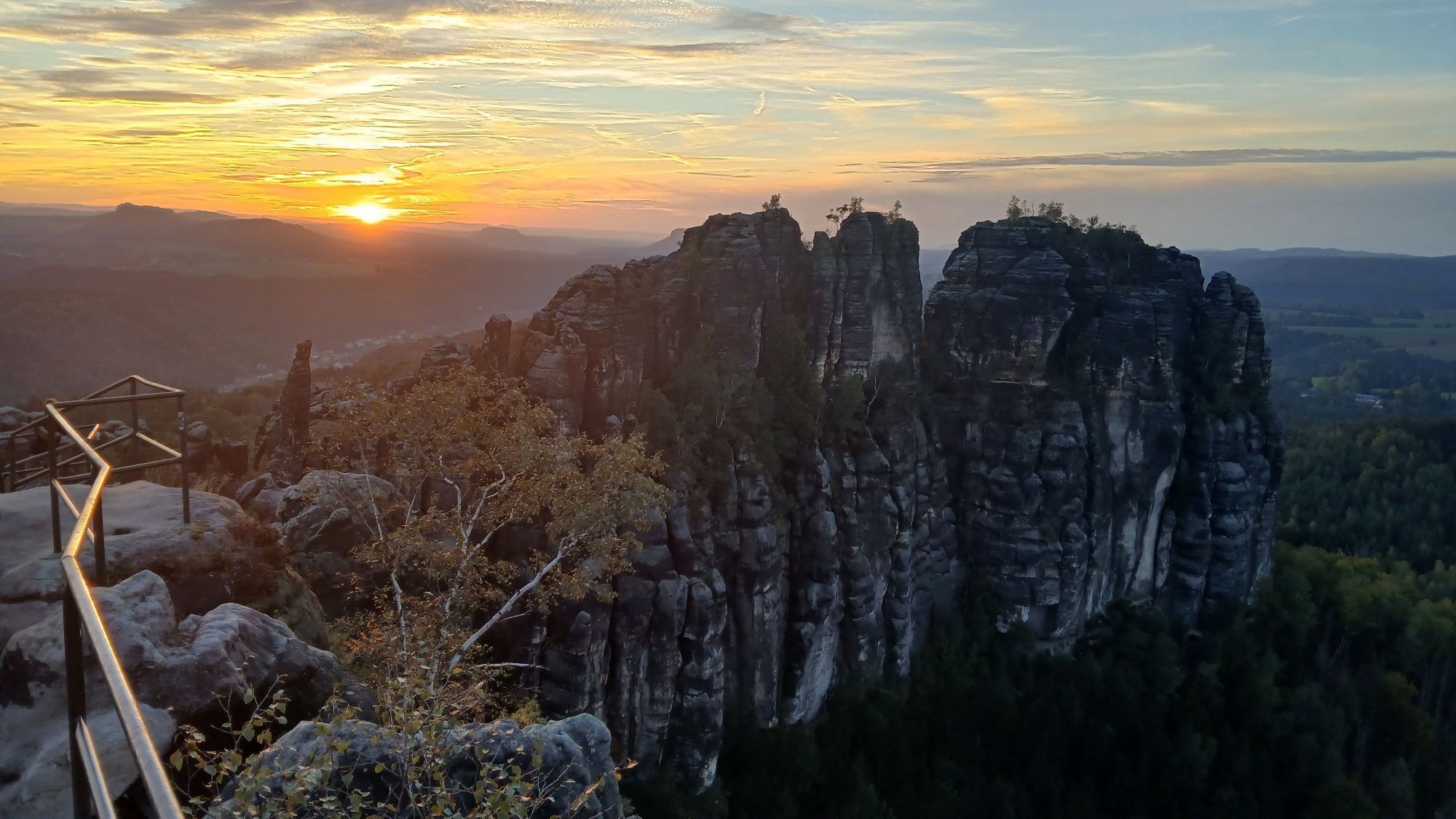
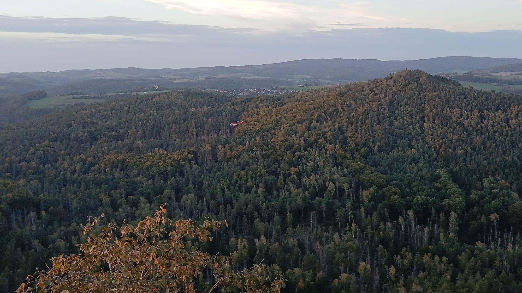
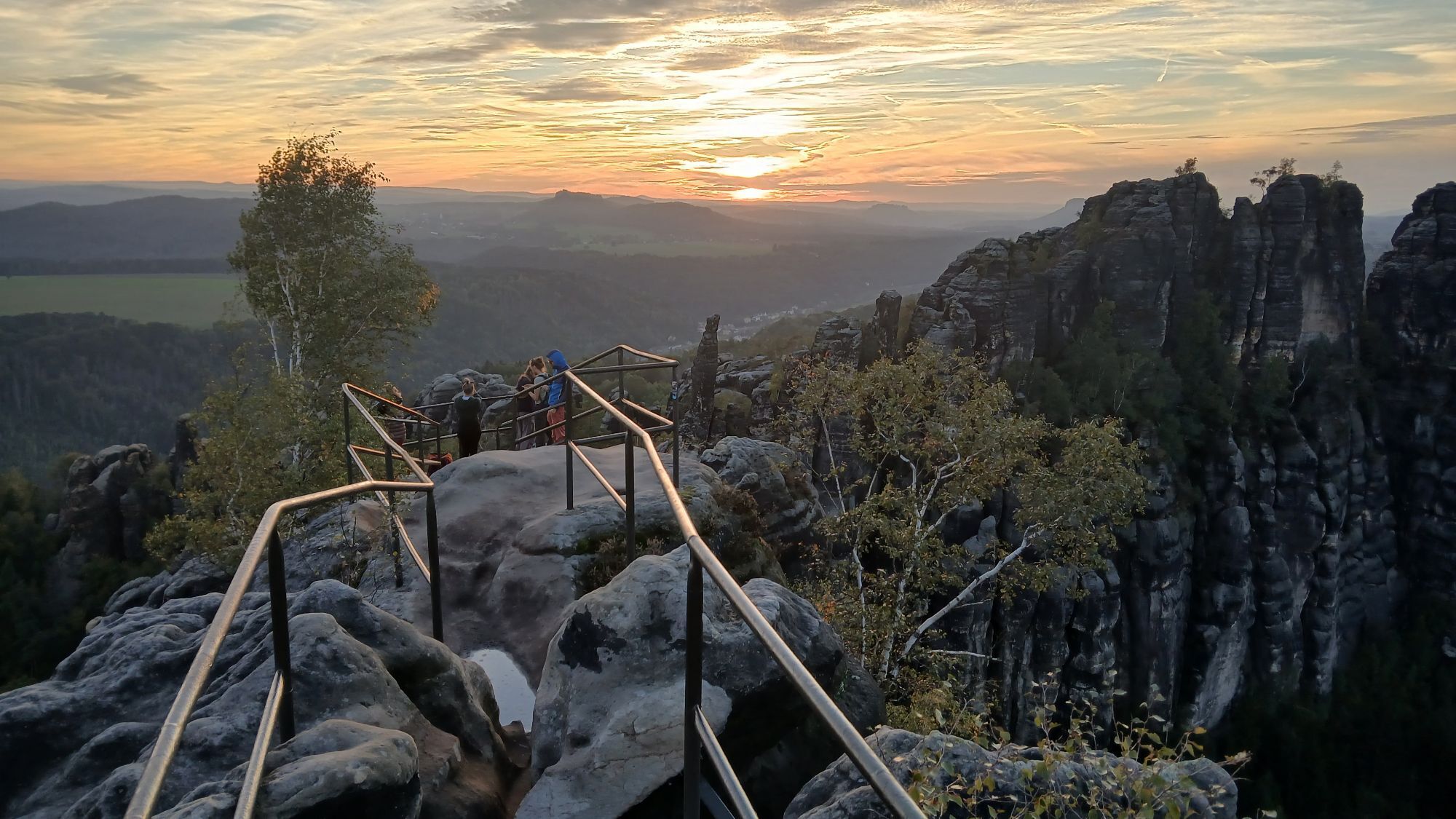
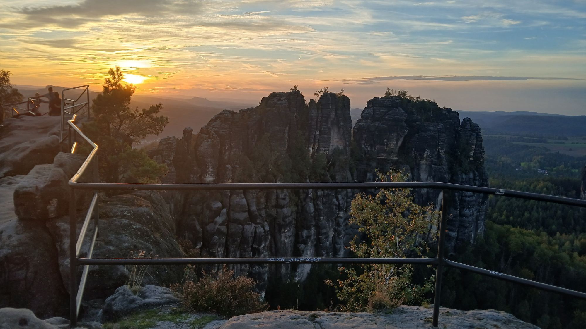
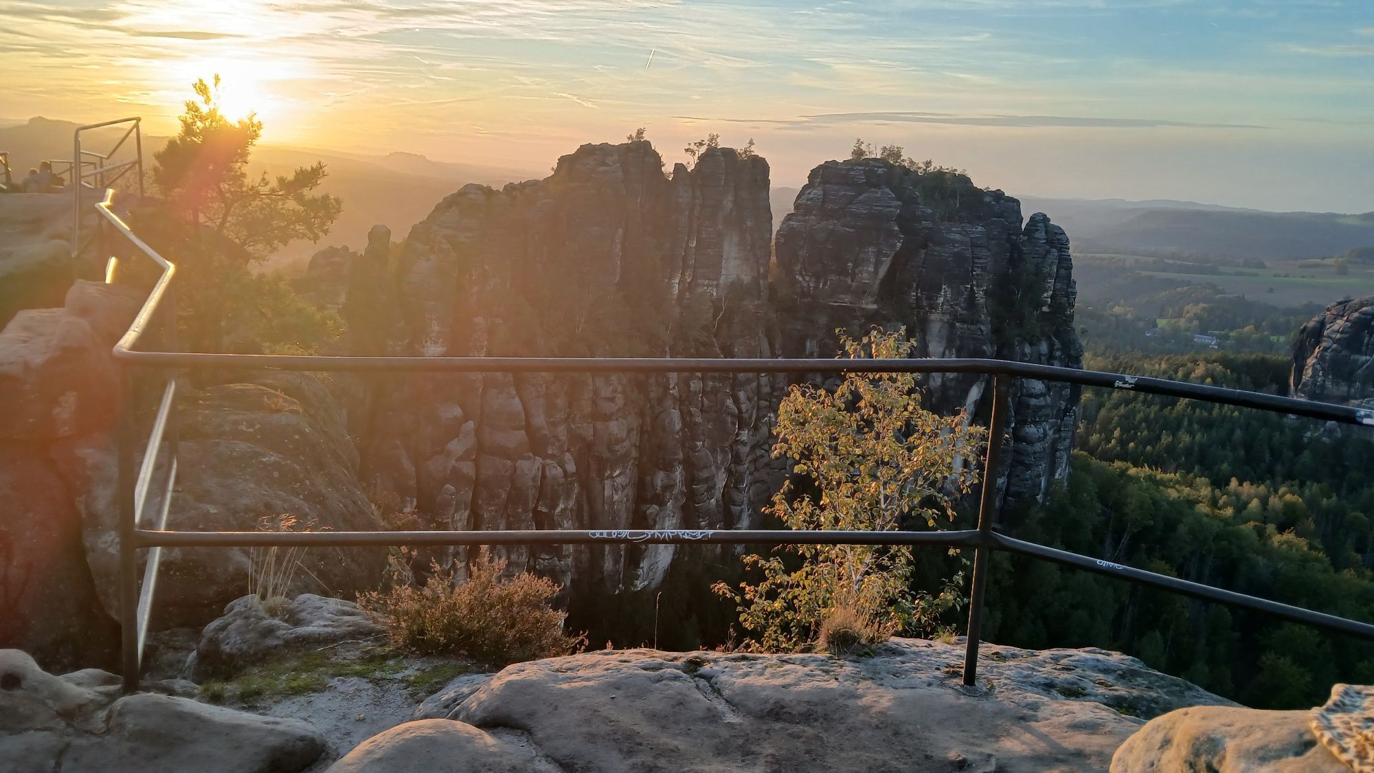
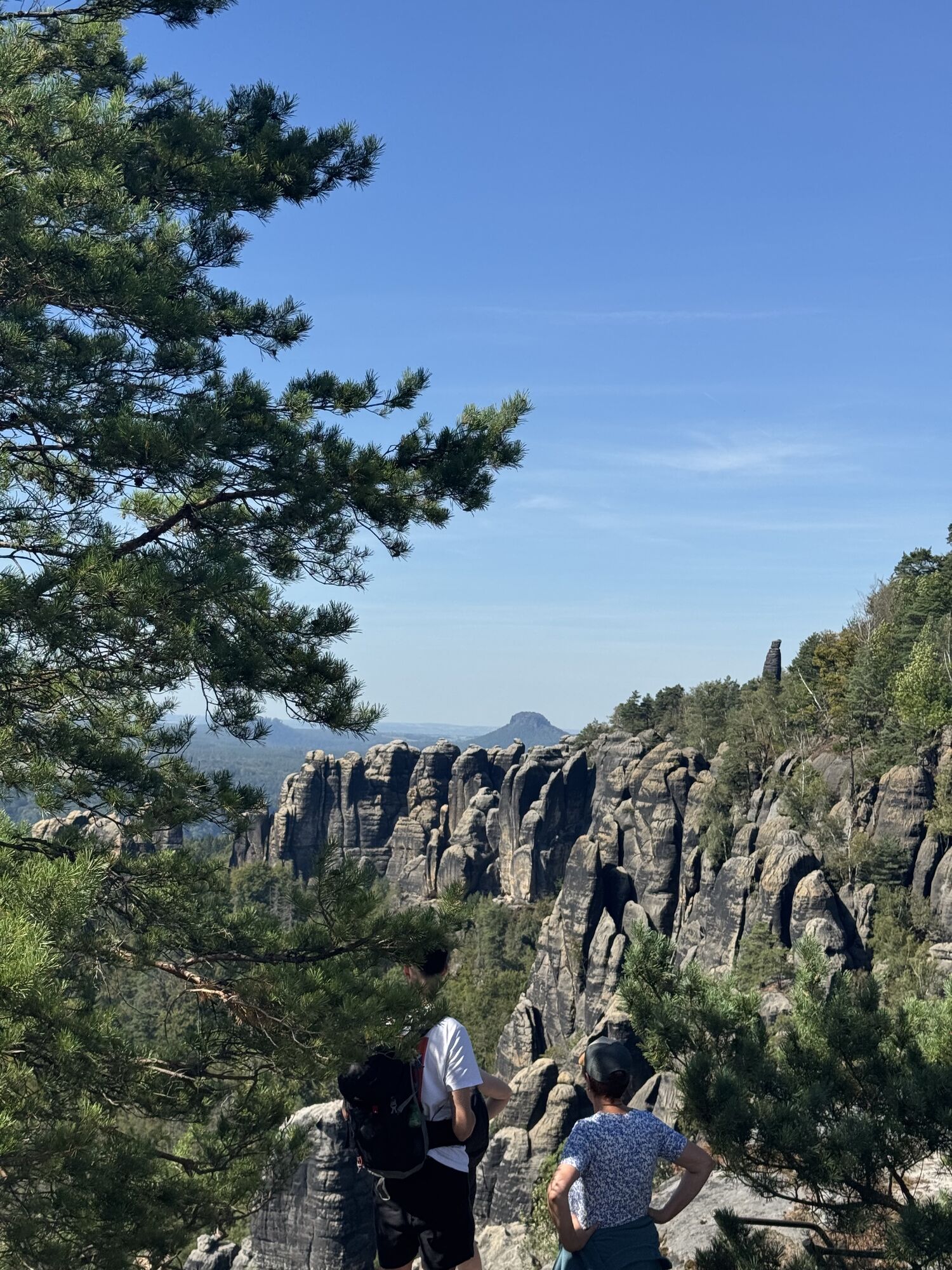
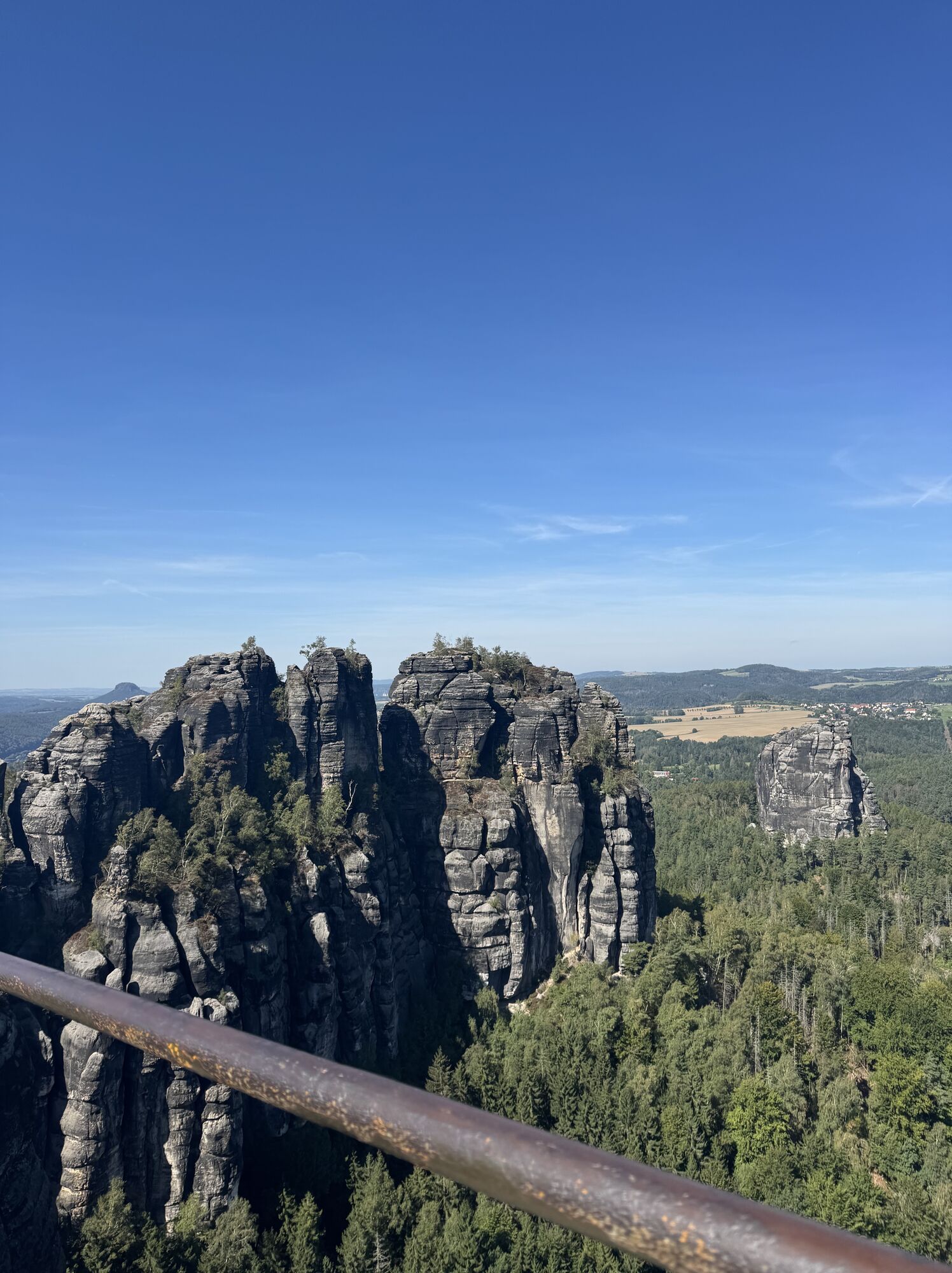
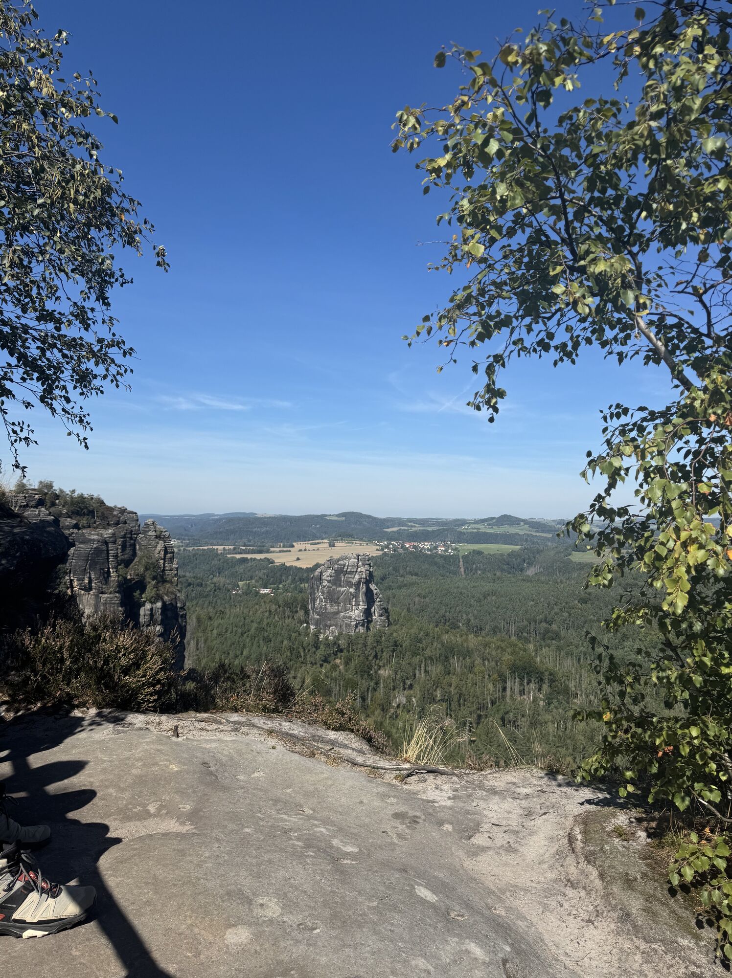
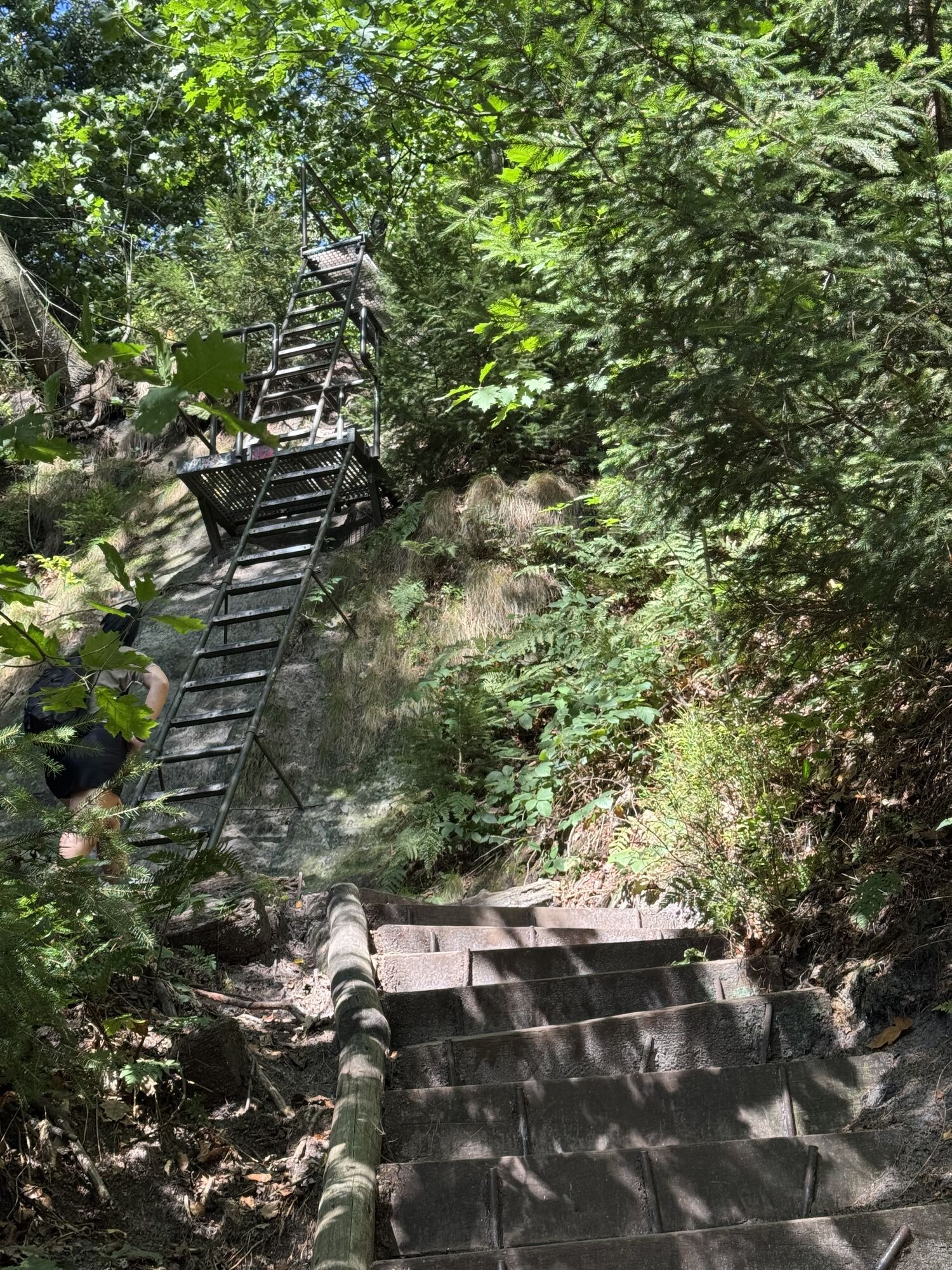
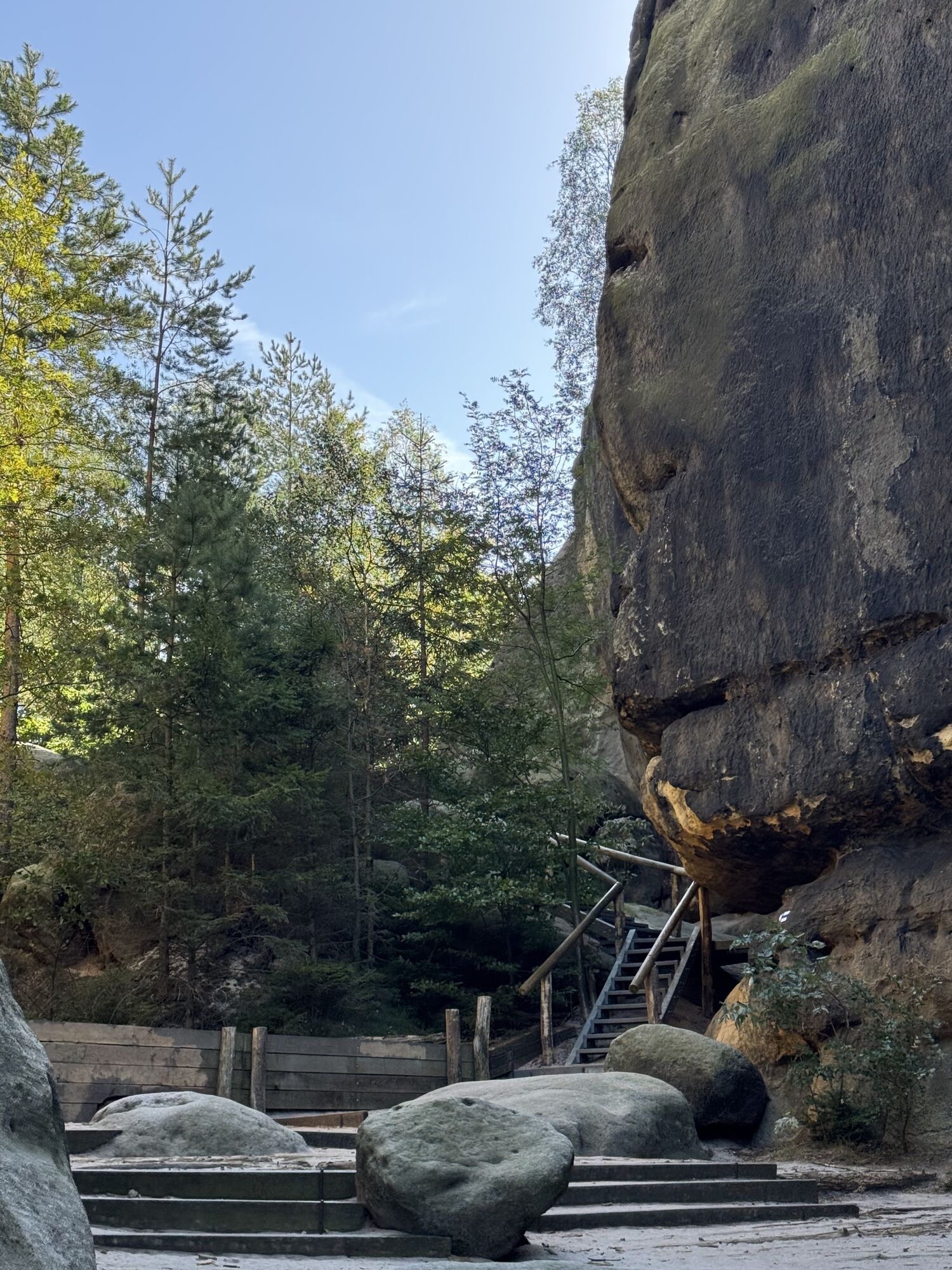
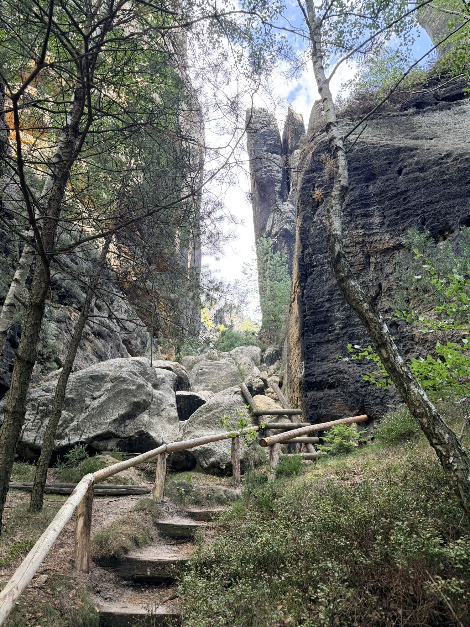
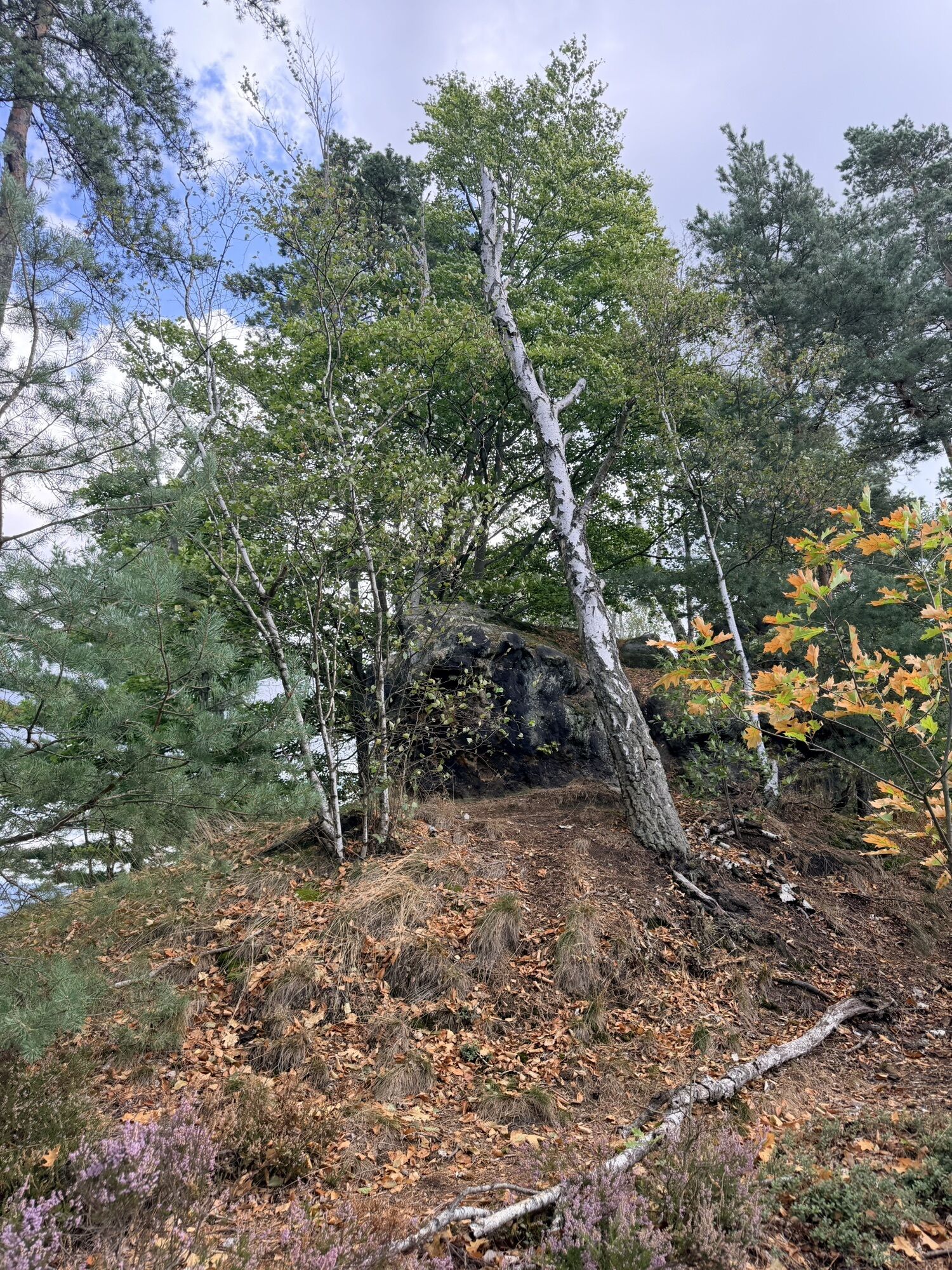
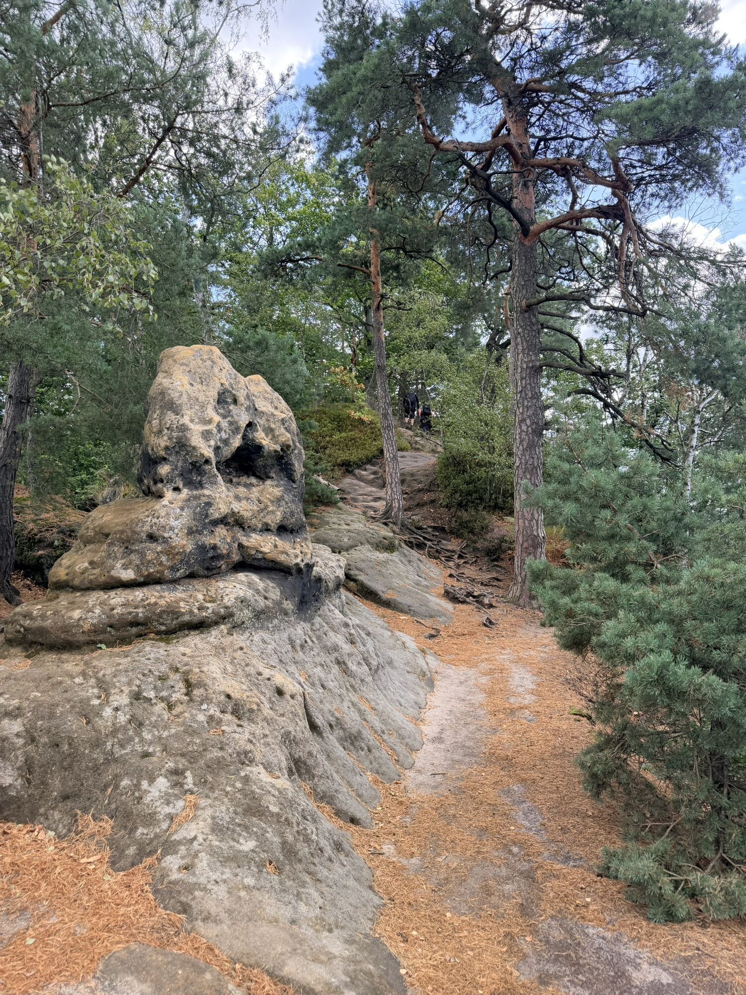
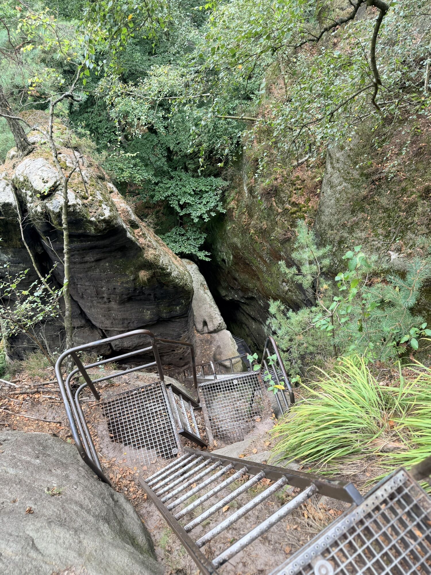
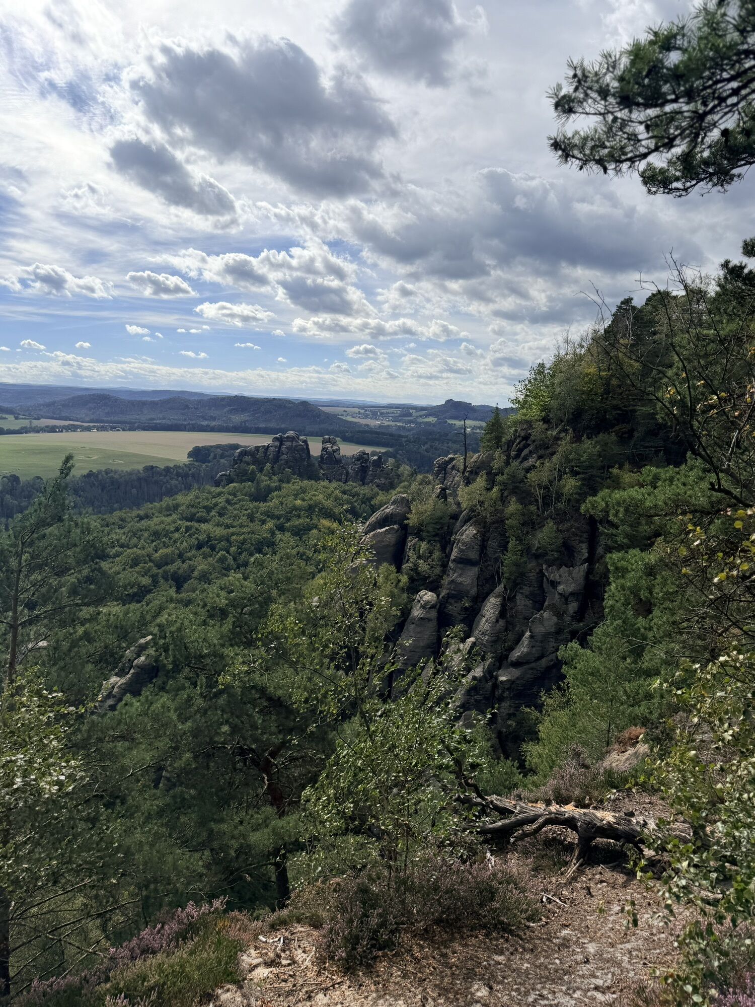
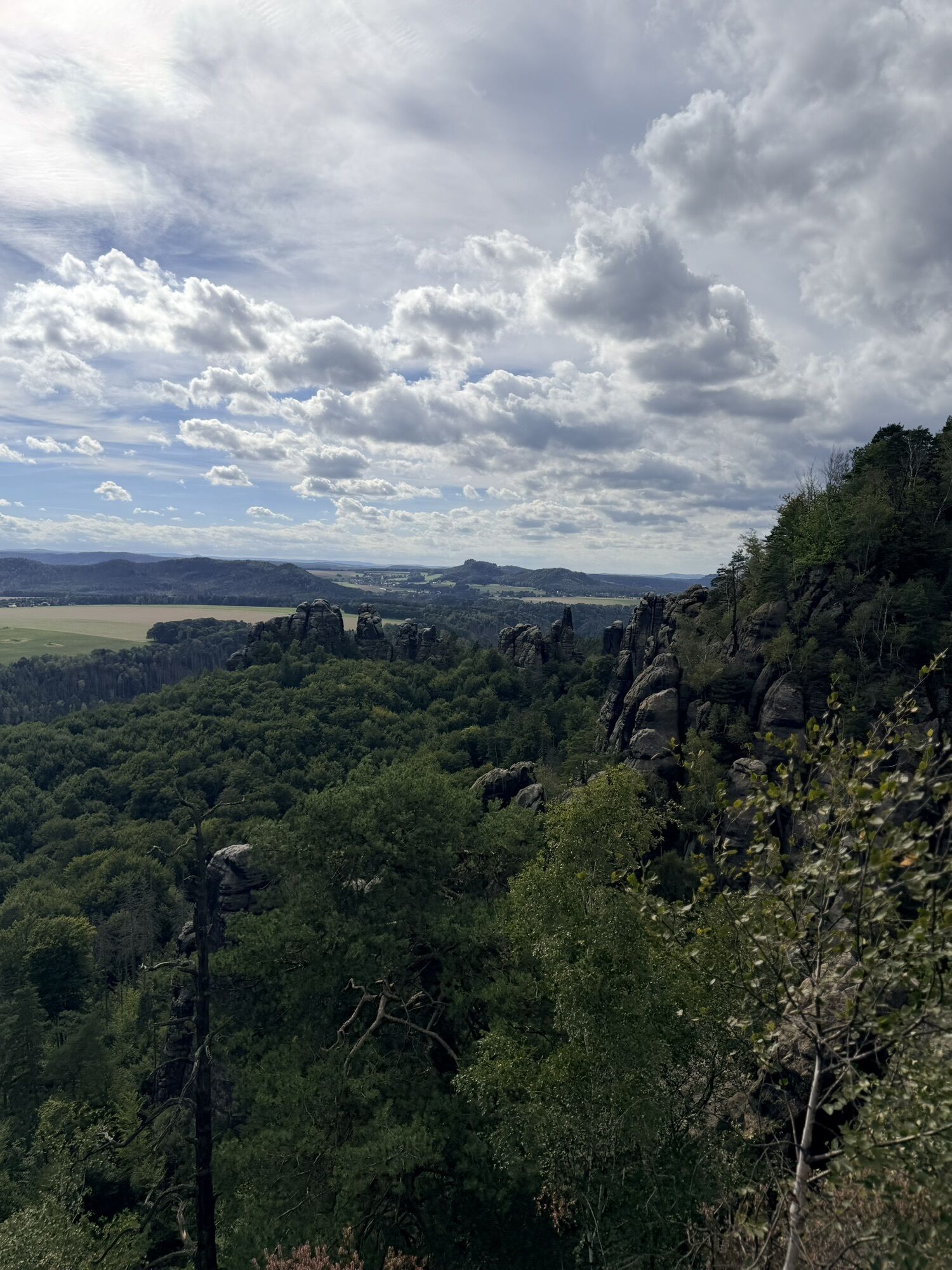
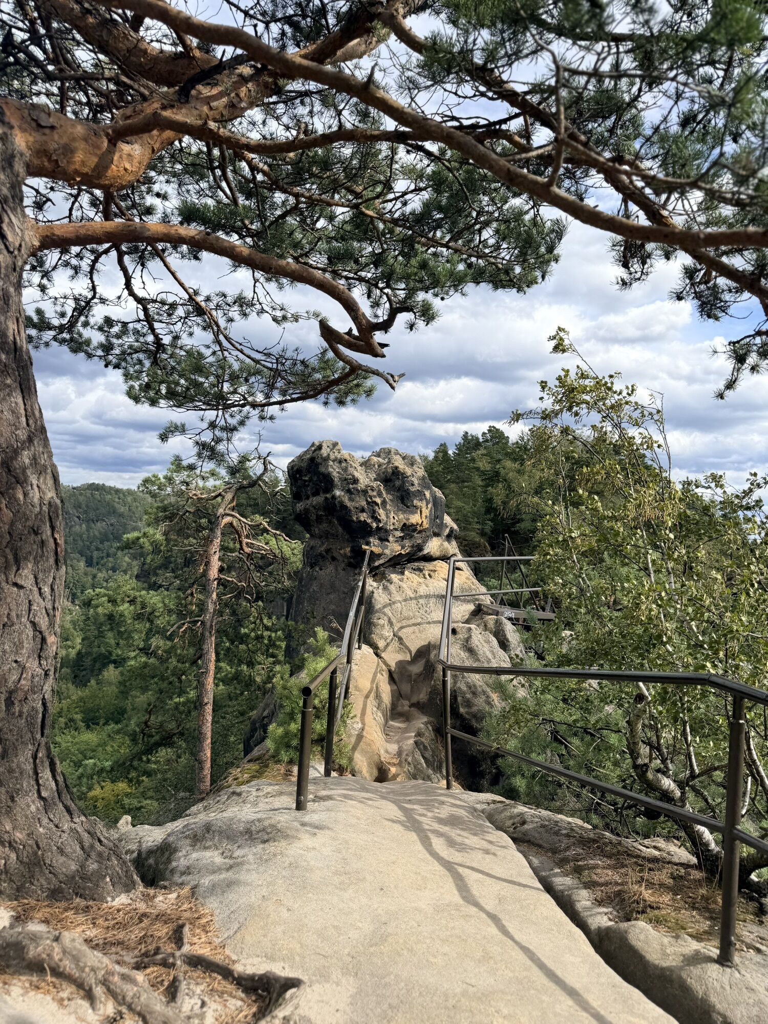
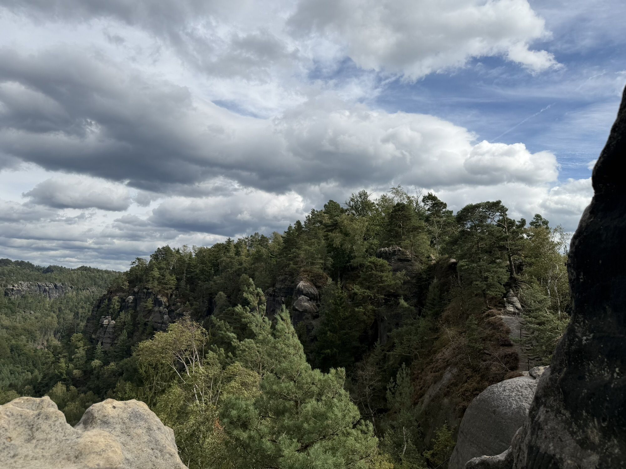
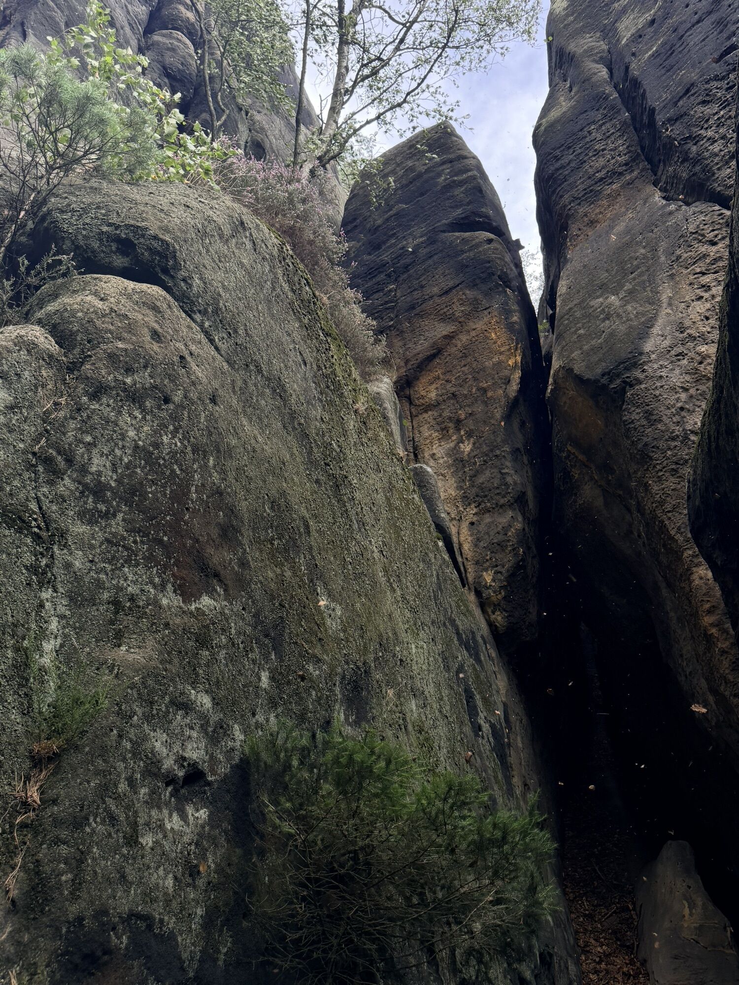
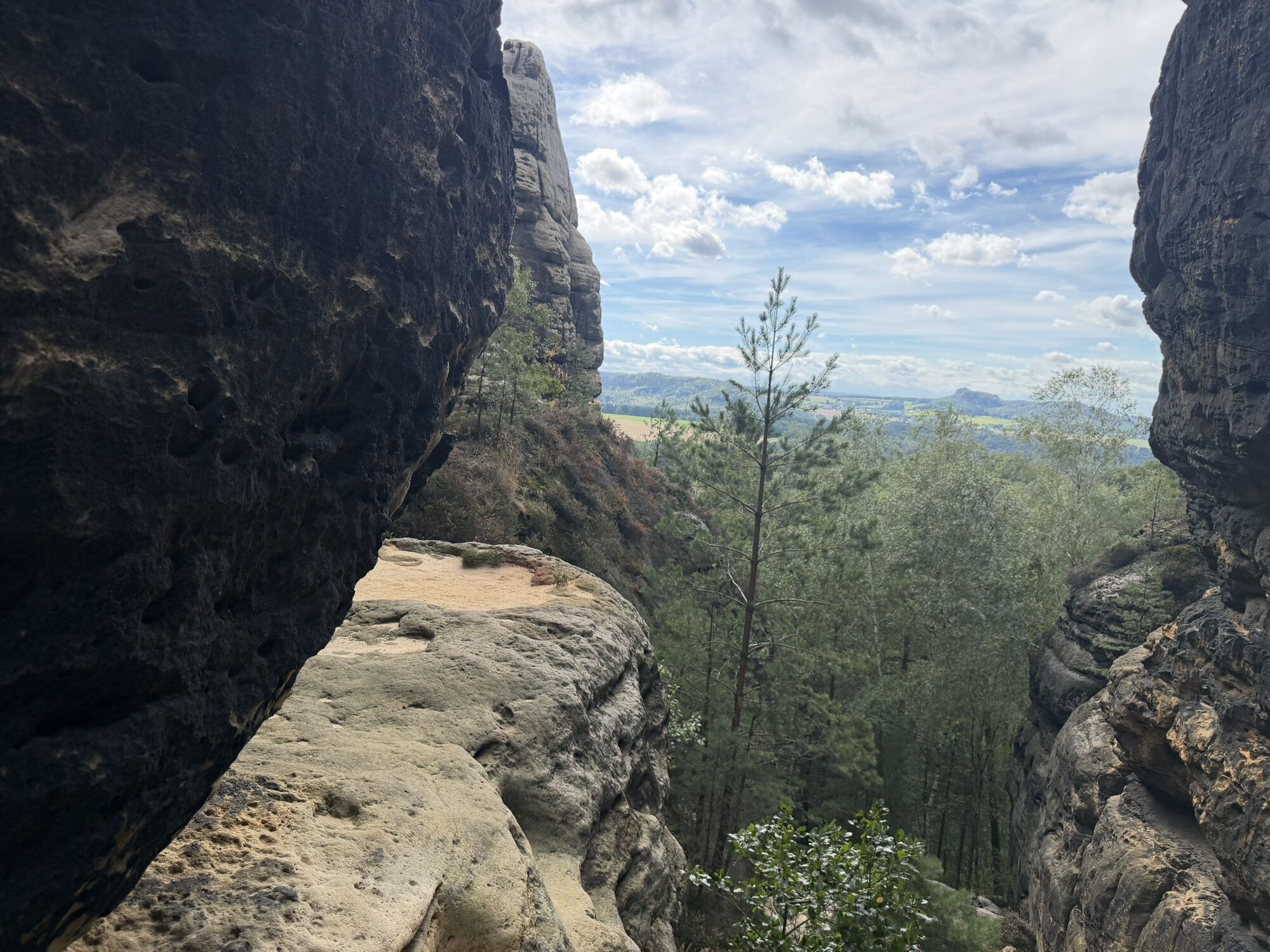
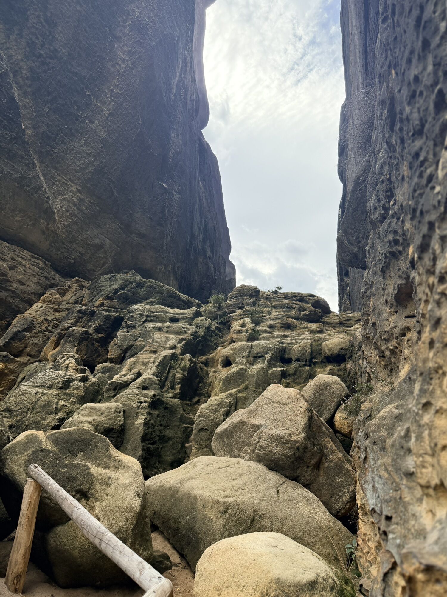
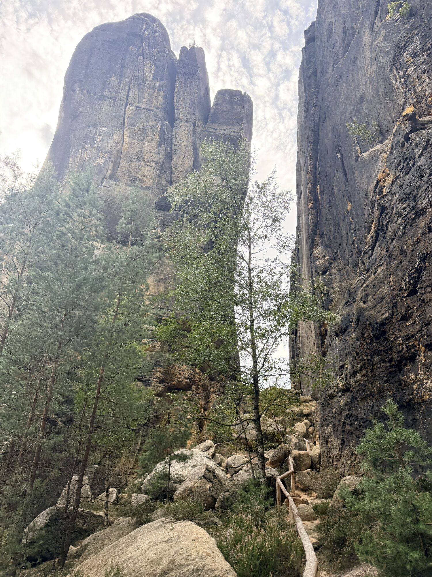
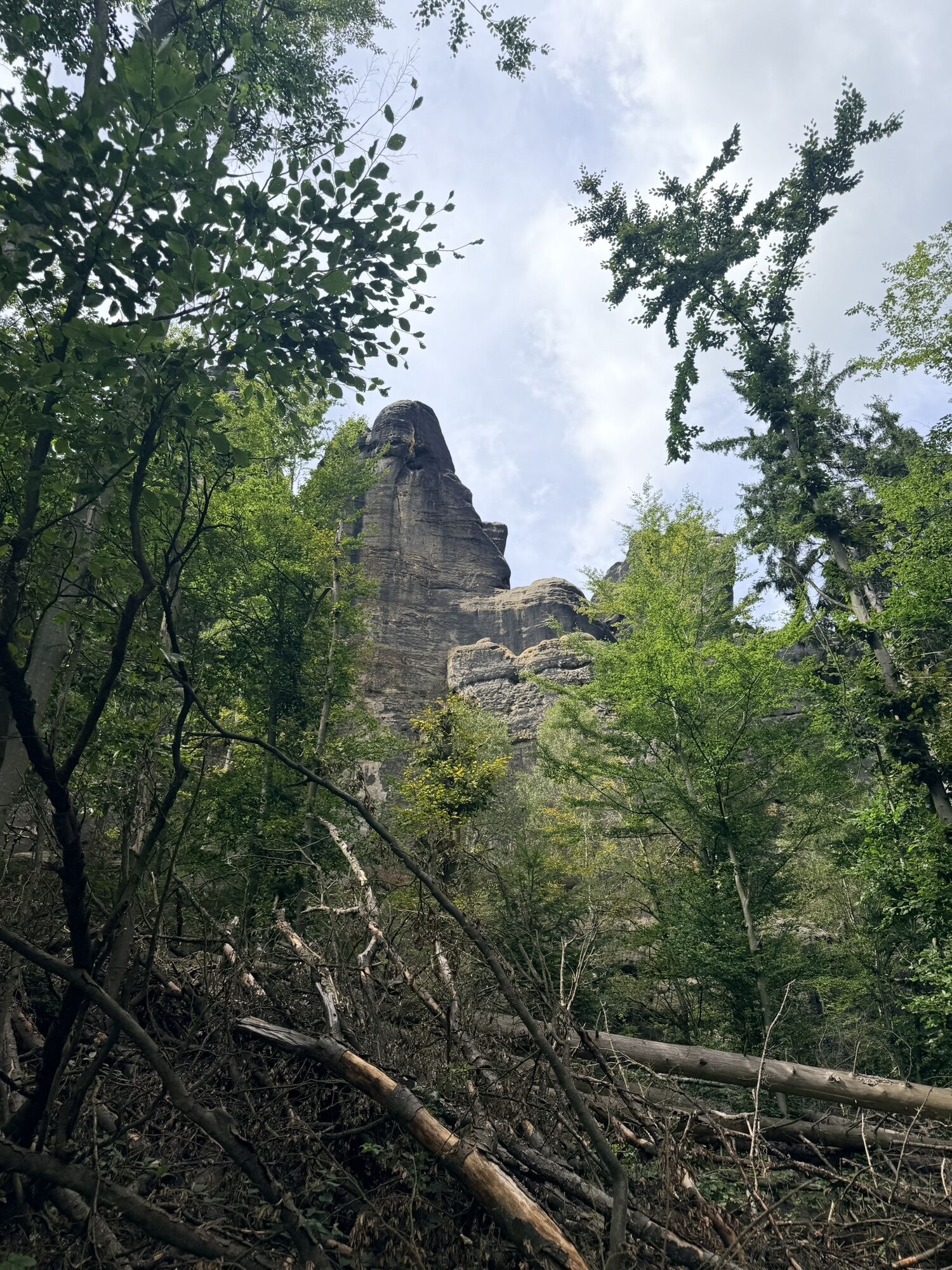
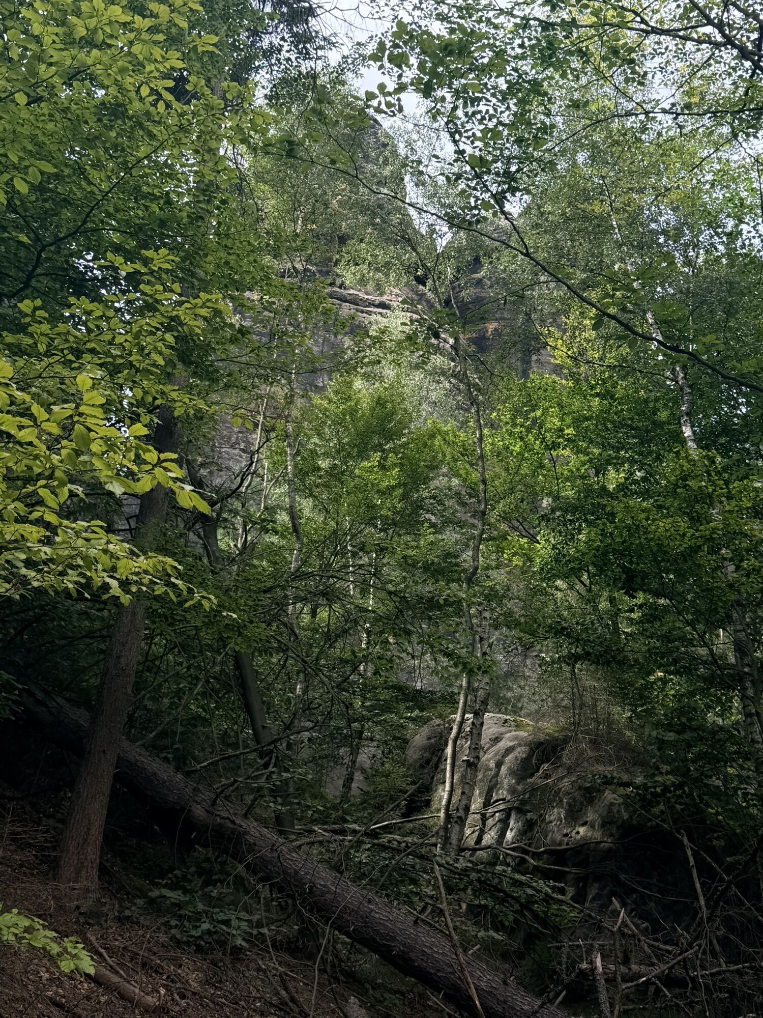
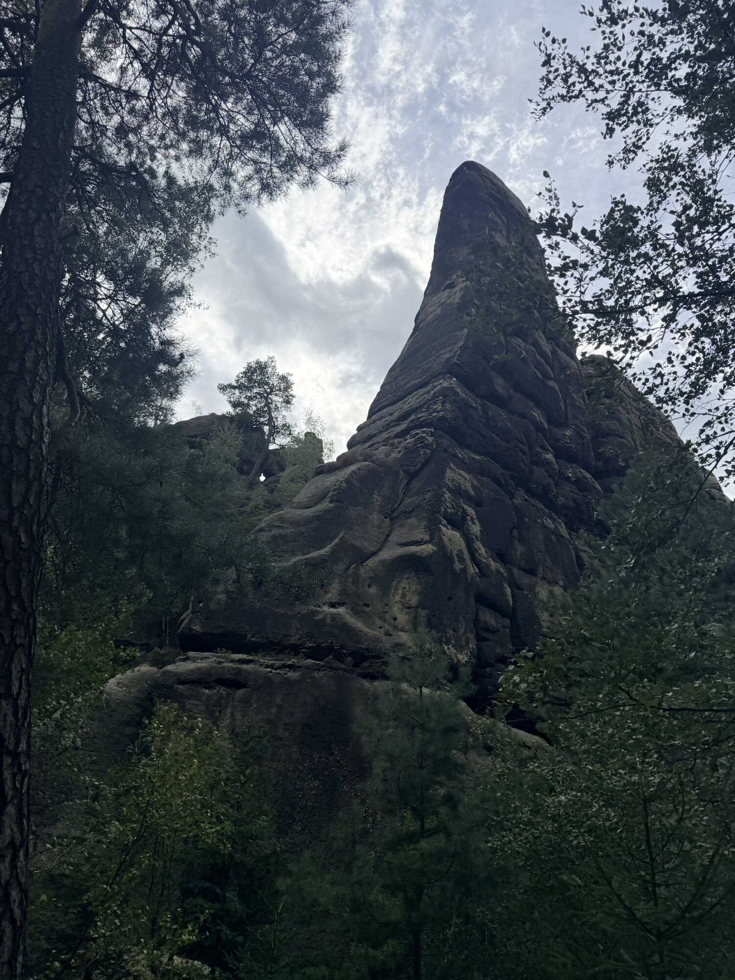
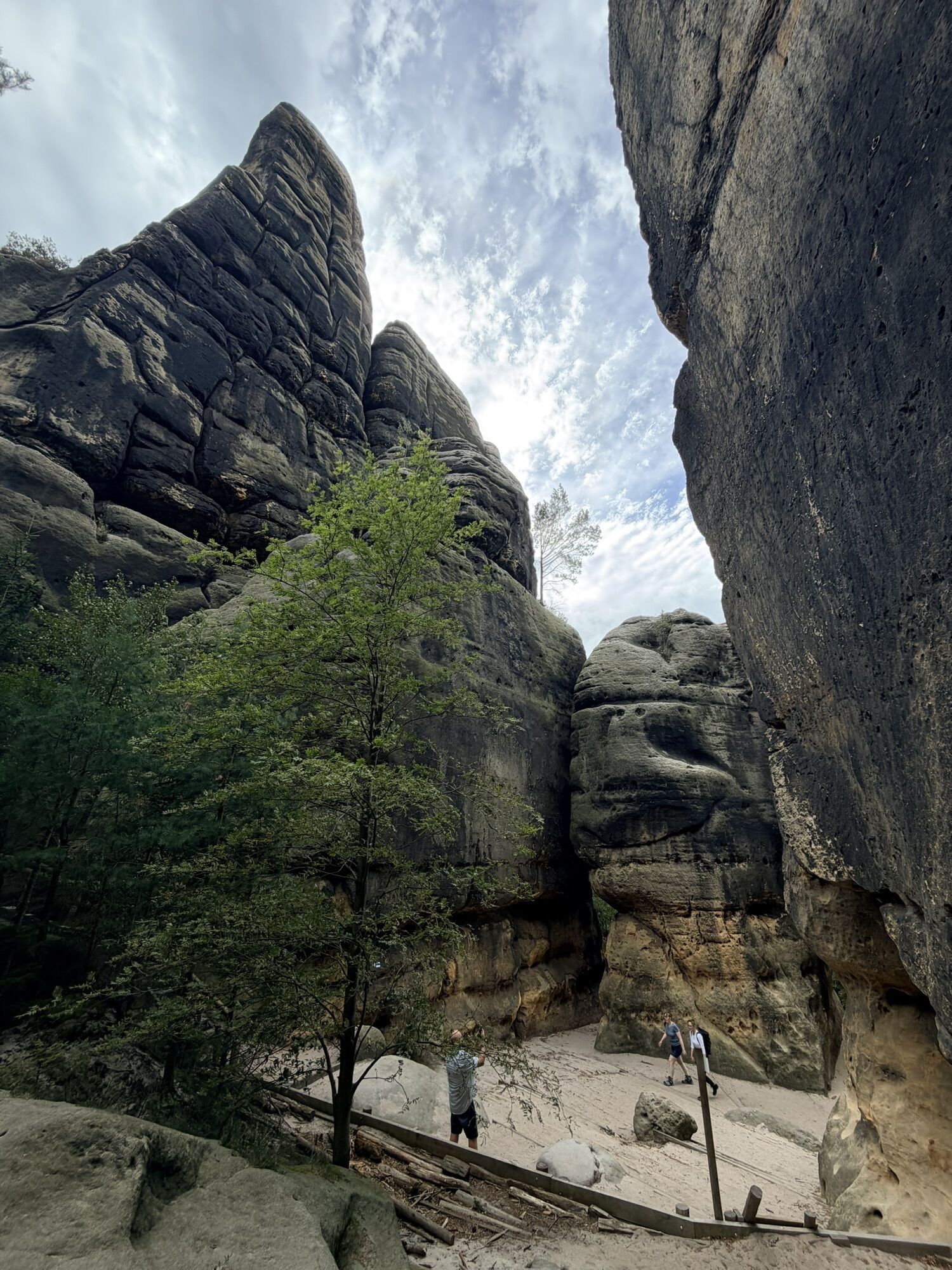
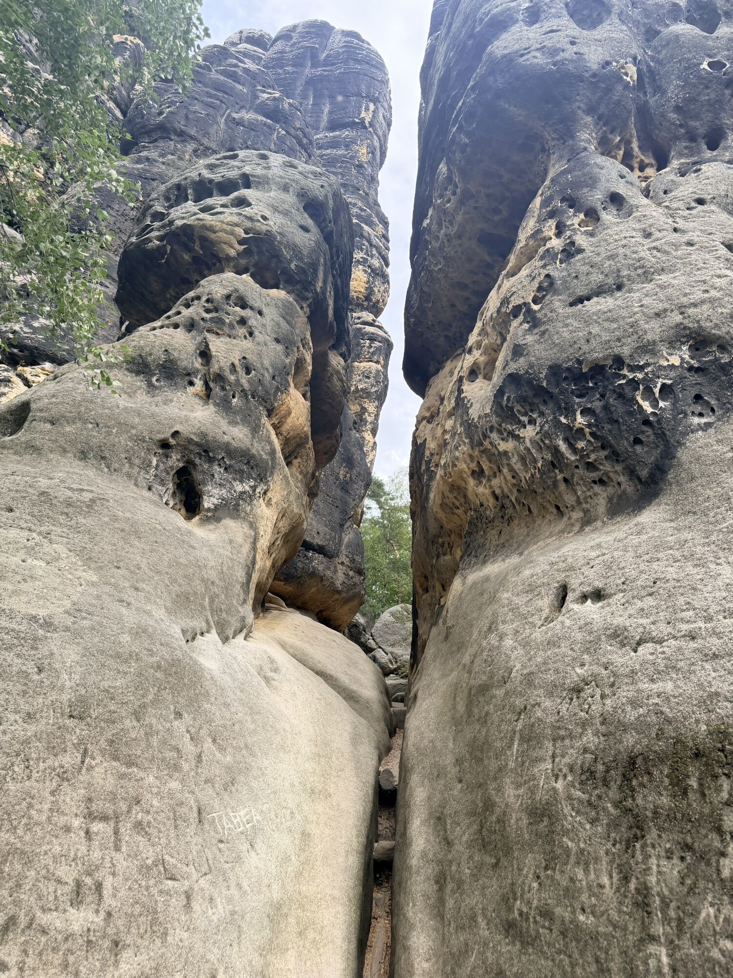
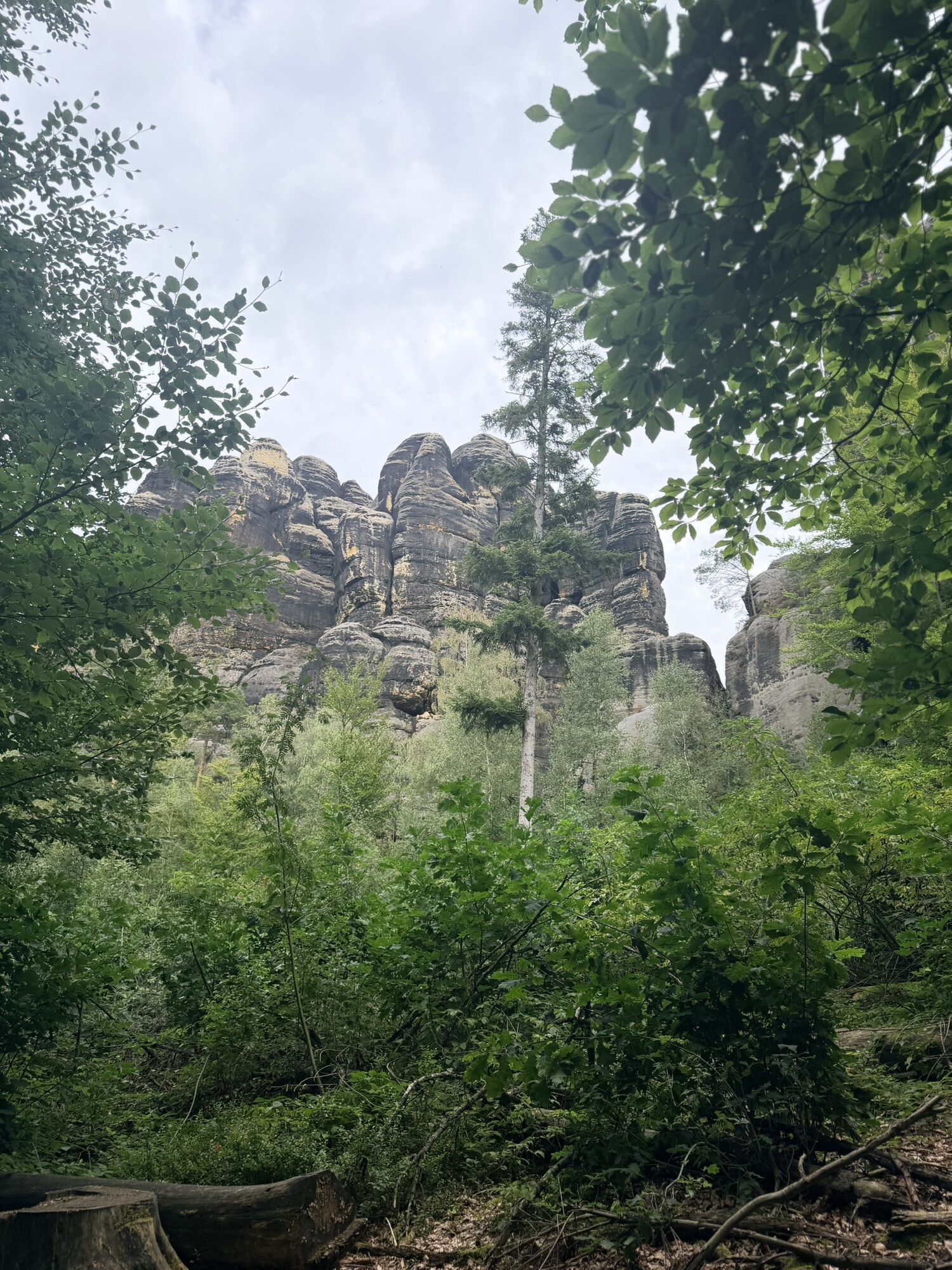
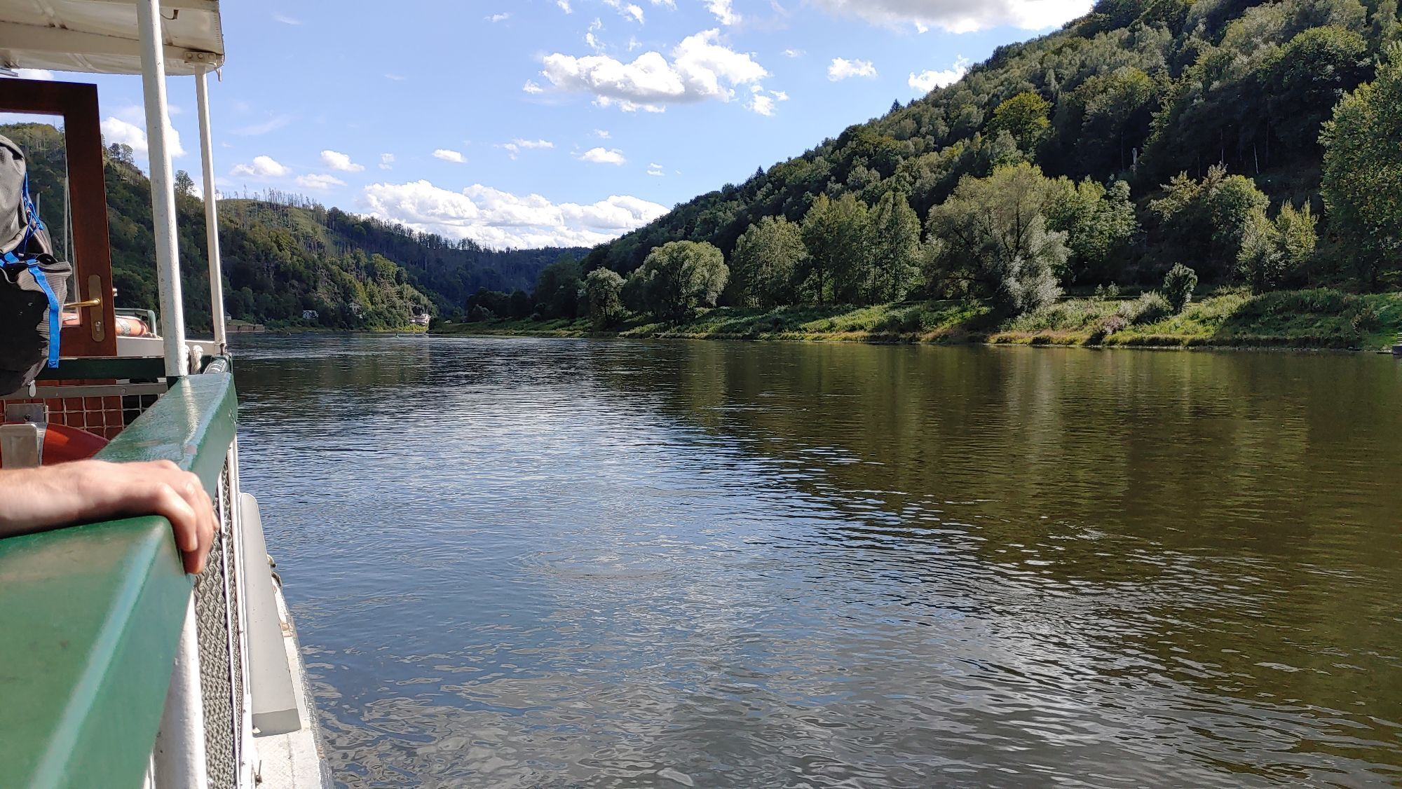
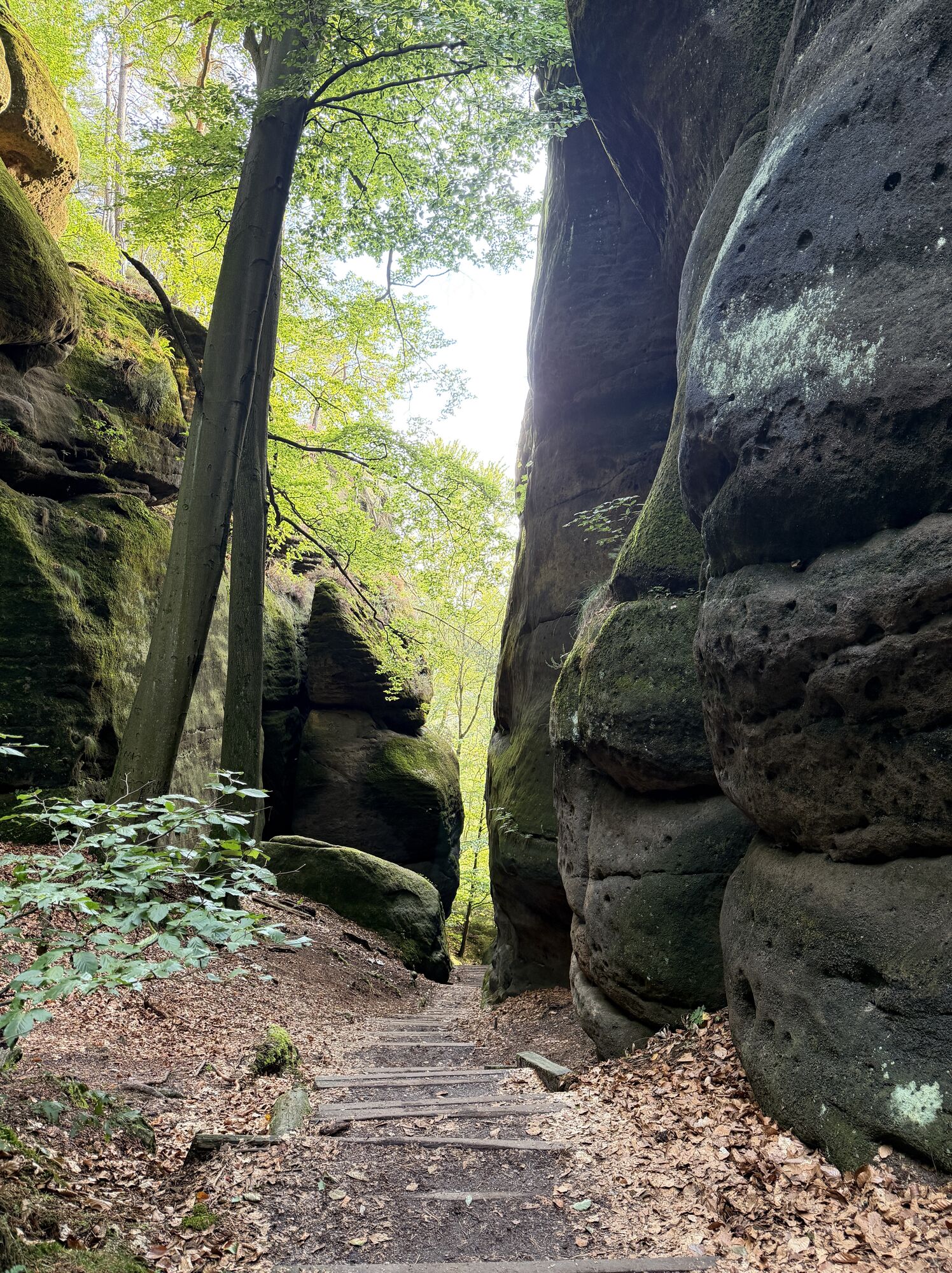
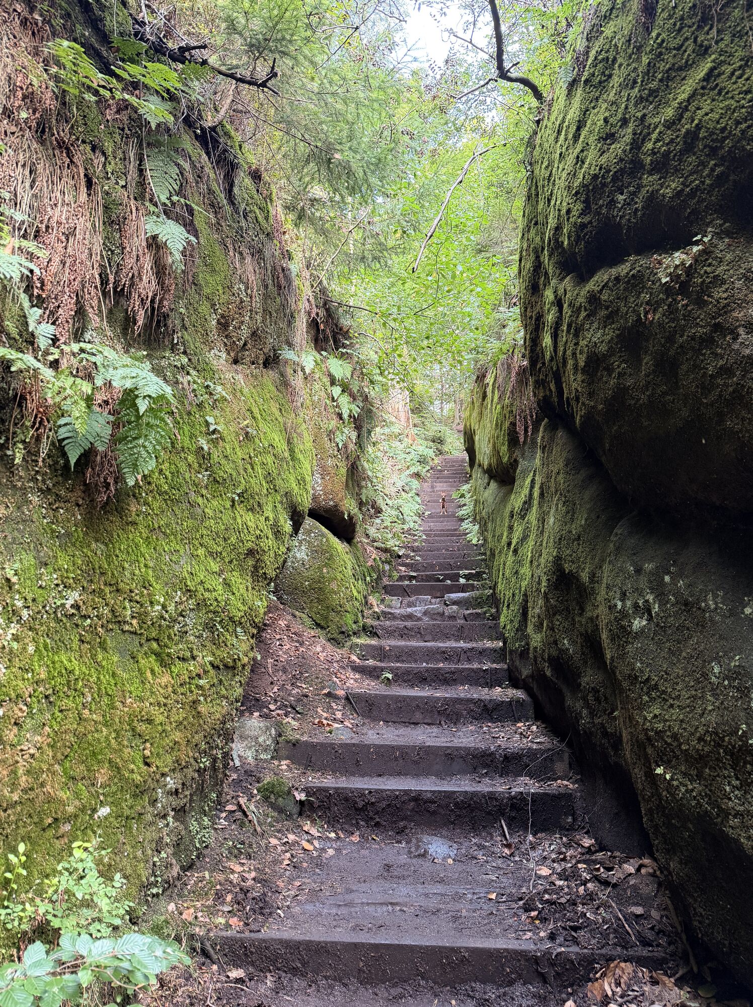
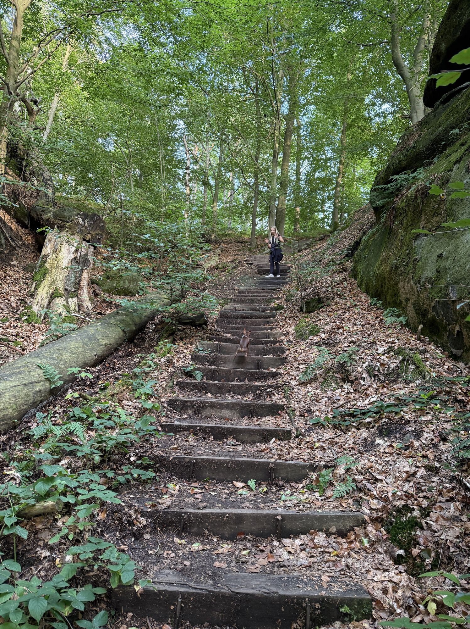
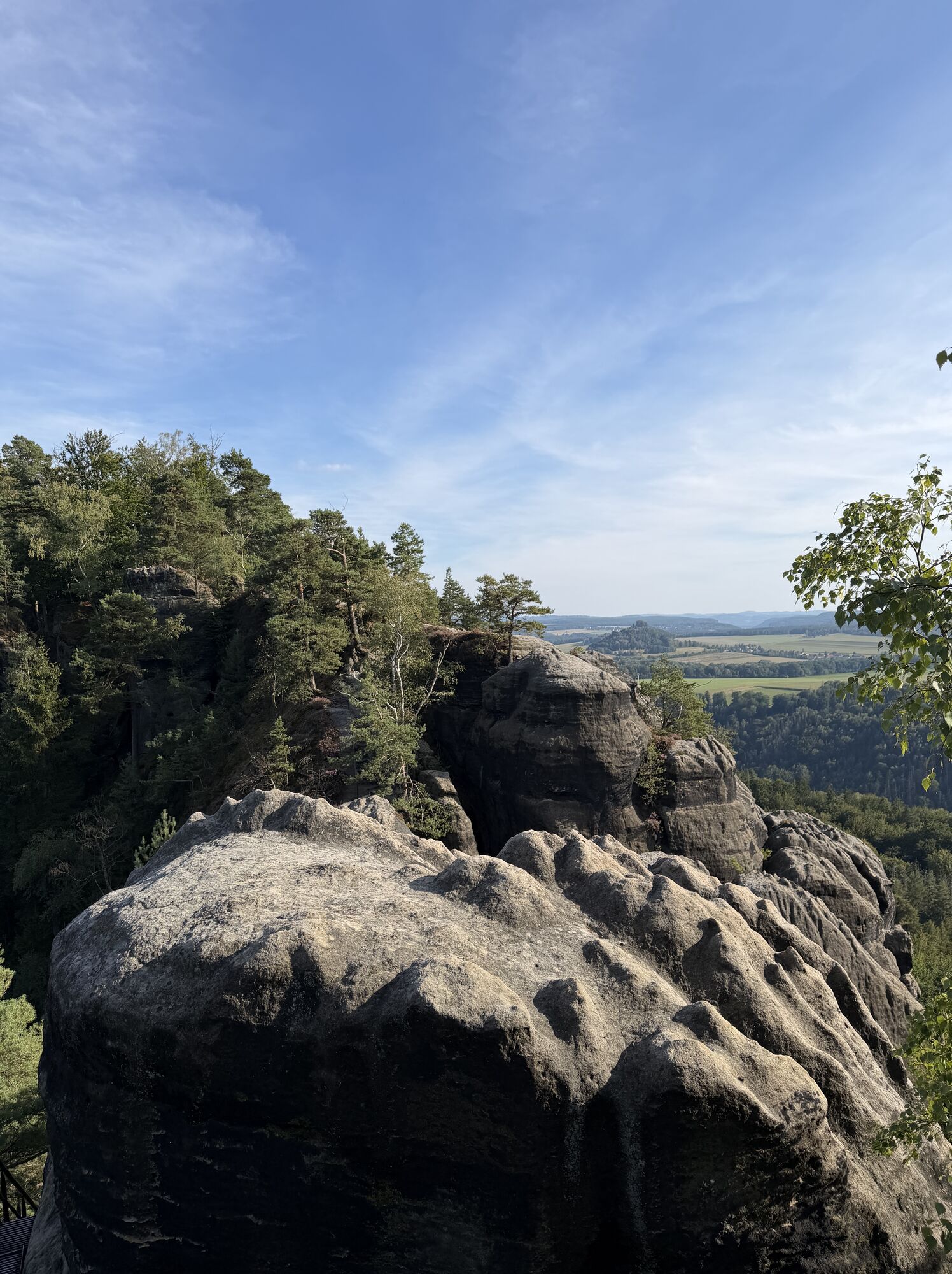
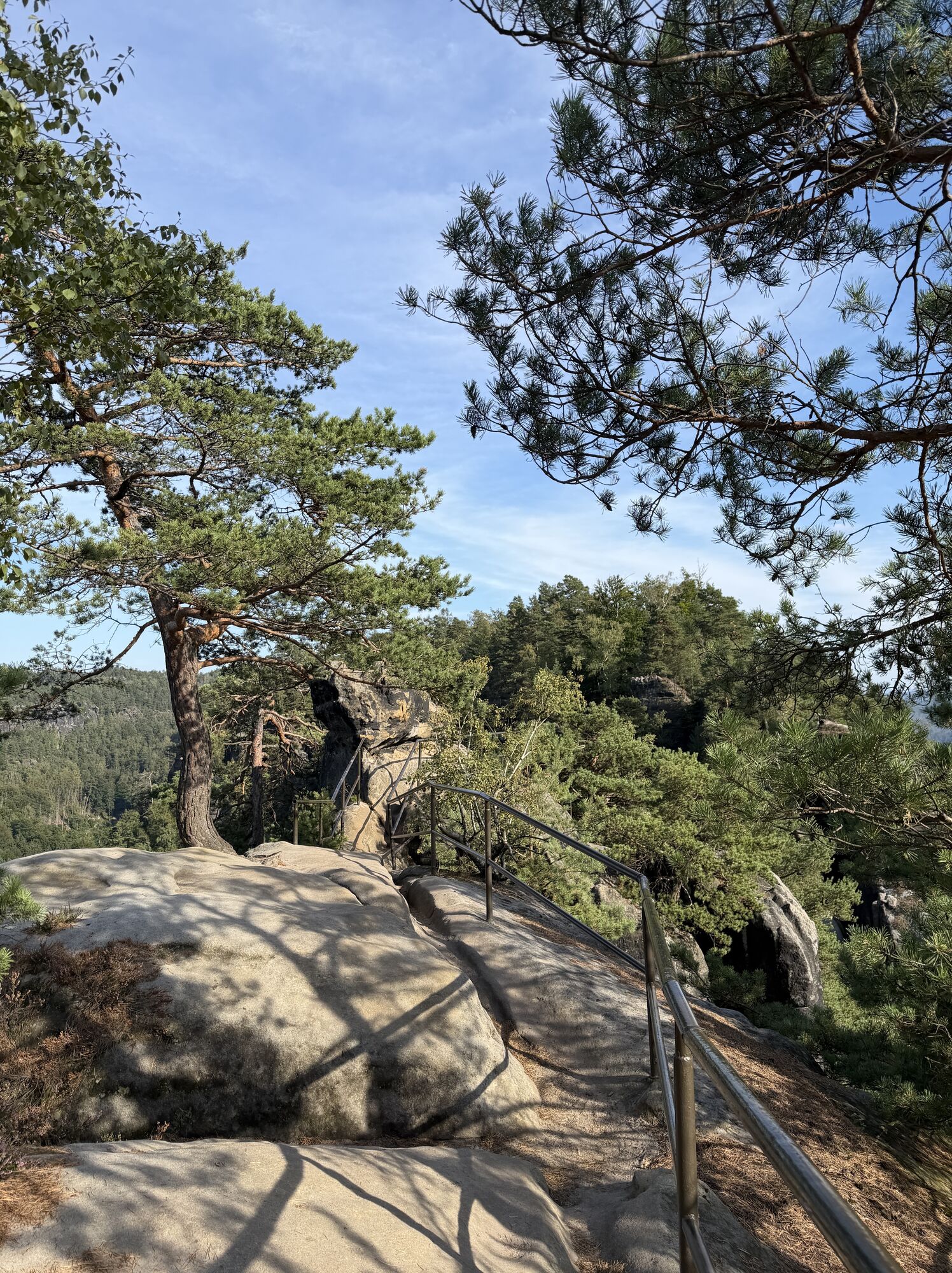
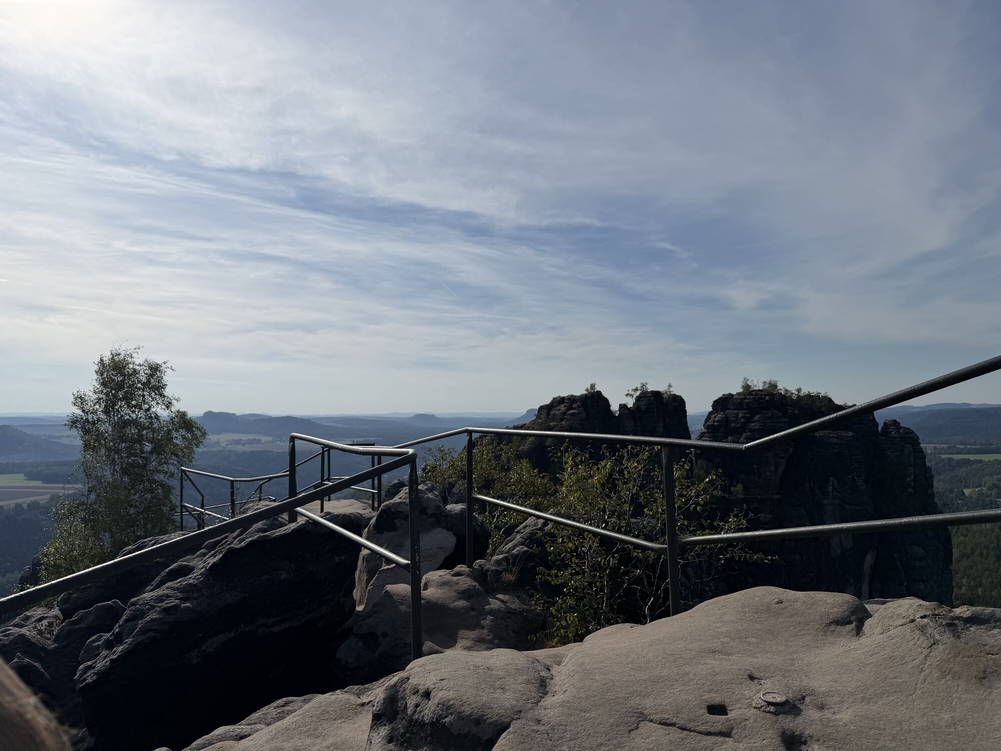
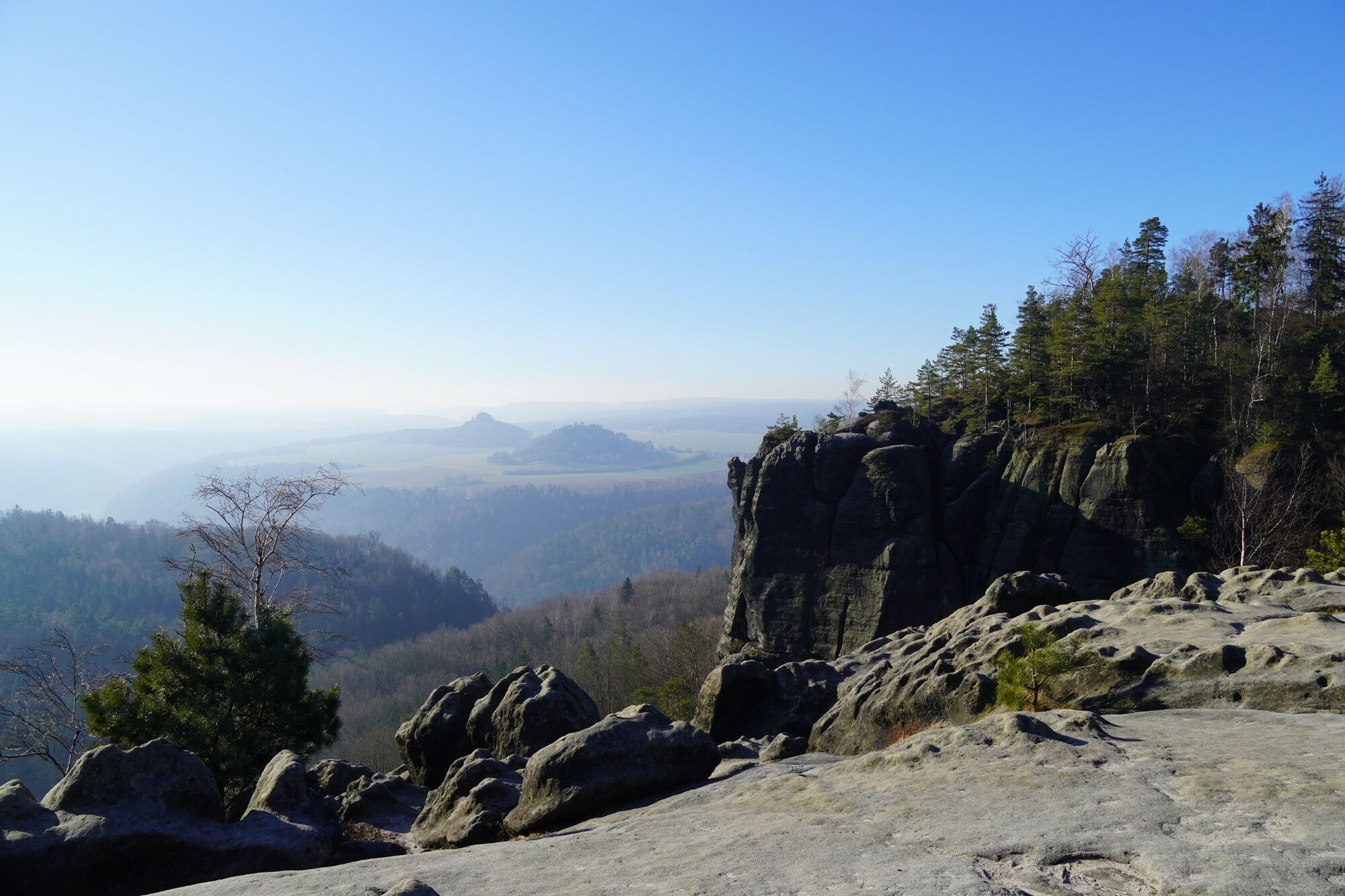
Schmilka – Roßsteigel – Elbleitenweg – Breite Kluft (+ Aussicht) – Gratweg – Schrammsteinaussicht – Jägersteig – Schrammtor – Obrigensteig – Zahnsgrund – Postelwitz
Trasa
Breite-Kluft-Turm
(351 m)
Summit
2.7 km
Mittelturm
(366 m)
Summit
4.6 km
Eunuch
Summit
5.3 km
Gottfried-Bauch-Spitze
(320 m)
Summit
5.9 km
Trasa
Gratwanderung auf den Schrammsteinen
heavy
Turistika
7.49
km
Schmilka
(117 m)
Přístaviště trajektu
0.0 km
Gasthof zur Mühle
(143 m)
Restaurace
0.2 km
Ilmenquelle
(159 m)
Zdroj:
0.4 km
Breite Kluft
(313 m)
Koridor/terén
2.5 km
Breite-Kluft-Turm
(351 m)
Summit
2.7 km
Breite-Kluft-Wand
(349 m)
Summit
2.8 km
Breite-Kluft-Aussicht
(381 m)
Úhel pohledu
3.0 km
Sonnenspitze
Summit
3.7 km
Regenturm
(363 m)
Summit
4.0 km
Schrammsteine
(389 m)
Summit
4.4 km
Sonnenwendkegel
Summit
4.6 km
Mittelturm
(366 m)
Summit
4.6 km
Elbaussicht
(403 m)
Úhel pohledu
4.6 km
Schrammsteinwächter
(397 m)
Summit
4.7 km
Schrammsteinaussicht
(417 m)
Úhel pohledu
4.7 km
Onkel
(360 m)
Summit
4.7 km
Schwager
(346 m)
Summit
4.7 km
Schrammsteine
(385 m)
Summit
4.7 km
Nichte
(345 m)
Summit
4.7 km
Neffe
(374 m)
Summit
4.7 km
Wildschützennadel
(341 m)
Summit
5.3 km
Wildschützenkopf
Summit
5.3 km
Eunuch
Summit
5.3 km
Jungfer
(317 m)
Summit
5.3 km
Mädel
(326 m)
Summit
5.4 km
Wetterhaube
(358 m)
Summit
5.5 km
Schrammsteinnadel
(319 m)
Summit
5.7 km
Schrammsteinkegel
(322 m)
Summit
5.8 km
Östlicher Schrammturm
Summit
5.8 km
Fotografenspitze
(326 m)
Summit
5.8 km
Zackenkrone
Summit
5.9 km
Max und Moritz
(318 m)
Summit
5.9 km
Schrammtorwächter
(357 m)
Summit
5.9 km
Gottfried-Bauch-Spitze
(320 m)
Summit
5.9 km
Schrammtorfreund
Summit
5.9 km
Ostervorturm
(320 m)
Summit
5.9 km
Großes Schrammtor
(319 m)
Koridor/terén
5.9 km
Spitzer Turm
(342 m)
Summit
5.9 km
Südlicher Osterturm
(366 m)
Summit
6.0 km
Viererturm
Summit
6.0 km
Unbenannte Spitze
(344 m)
Summit
6.0 km
Obrigenwand
(250 m)
Summit
7.0 km
Zahnsborn
(156 m)
Zdroj:
7.3 km

Zatím žádné recenze
Webové kamery z prohlídky

Všechny webové kamery na mapě
Nainstaluj si aplikaci zdarma a porovnej si živé záběry z několika míst, než vyrazíš.
Využijte nyní službu „ bergfex “ v aplikaci
Naskenuj QR kód pomocí fotoaparátu
Jakmile je aplikace nainstalována, obsah se otevře přímo. Pokud aplikaci ještě nemáš, budeš přesměrován na stránku, kde si ji můžeš zdarma stáhnout.
Oblíbené prohlídky v okolí
- 4.7
Rathen / Hockstein / Bastei / Rathen
středníTuristika 14.4 km - 4.6
Von Rathewalde zur Bastei
Turistika 12.8 km - 4.7
Rundwanderung Bastei Schwendenlöcher -Amselsee
světloTuristika 6.21 km - 4.6
Kuhstall, Himmelsleiter und Schneiderloch
středníTuristika 4.06 km - 4.7
Pfaffenstein Sachsen/Deutschland
středníTuristika 3.89 km - 5.0
Basteibrücke
světloTuristika 2.31 km - 5.0
Lilienstein
světloTuristika 3.75 km - 4.9
Bad Schandau, Schrammsteinrunde
středníTuristika 11.0 km - 4.8
Prebischtor
středníTuristika 18.9 km - 4.9
entlang der Schrammsteine, Breite Kluft, Affenwand
středníTuristika 11.6 km
Pěší turistika a stopování

Více než 550.000 návrhů výletů, podrobné mapy a intuitivní plánovač tras dělají z aplikace nezbytnou výbavu pro všechny milovníky přírody.

Nenechte si ujít nabídky a inspiraci pro vaši příští dovolenou
Přihlaste se k odběru newsletteru
Chyba
Došlo k chybě. Zkuste to prosím znovu.Děkujeme za vaši registraci
Vaše e-mailová adresa byl přidán do poštovního seznamu.
Zájezdy po celé Evropě
Rakousko Švýcarsko Německo Itálie Slovenia Francie Nizozemsko Belgie Polsko Lichtenštejnsko Česko Slovensko Španělsko Chorvatsko Bosna a Hercegovina Lucembursko Andorra Portugal Iceland United Kingdom Ireland Greece Albania North Macedonia Malta Norway Montenegro Moldova Kosovo Hungary San Marino Romania Estonia Latvia Belarus Cyprus Lithuania Serbia Bulgaria Monaco Denmark Sweden Finland





