


Sebnitz - Kirnitzschtal Cycle Route
Fotografie našich uživatelů
-

 © Holger TurbanVytvořeno dne 29.03.2026
 -
 © Holger TurbanVytvořeno dne 29.03.2026
 -
 © Januar YVytvořeno dne 21.03.2026
 -

 © hochlandfamilieVytvořeno dne 01.03.2026
 -
 © hochlandfamilieVytvořeno dne 01.03.2026
 -
 © steffen preussVytvořeno dne 31.10.2025
 -
 © Jens GebauerVytvořeno dne 02.10.2025
 -
 © Jens GebauerVytvořeno dne 02.10.2025
 -
 © Stephan GroßerVytvořeno dne 07.09.2025
 -
 © Stephan GroßerVytvořeno dne 07.09.2025
 -
 © Stephan GroßerVytvořeno dne 07.09.2025
 -

 © Matje DerksVytvořeno dne 16.06.2025
 -

 © Markus OrtnerVytvořeno dne 24.05.2025
 -
 © Markus OrtnerVytvořeno dne 24.05.2025


This route is signposted with a red dot as part of the right Elbe cycle path network. Sebnitz, the home town of artificial flowers, is the starting point of this varied tour.
The tour starts at the Sebnitz...
This route is signposted with a red dot as part of the right Elbe cycle path network. Sebnitz, the home town of artificial flowers, is the starting point of this varied tour.
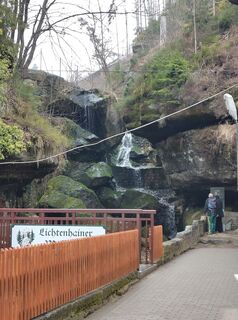
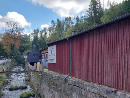
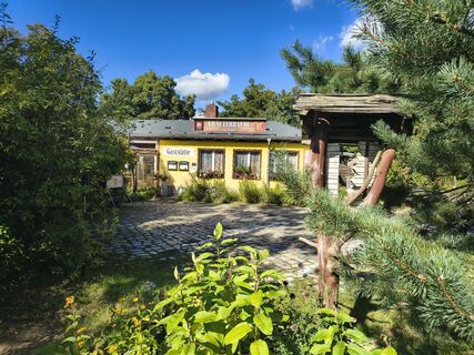
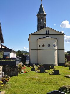
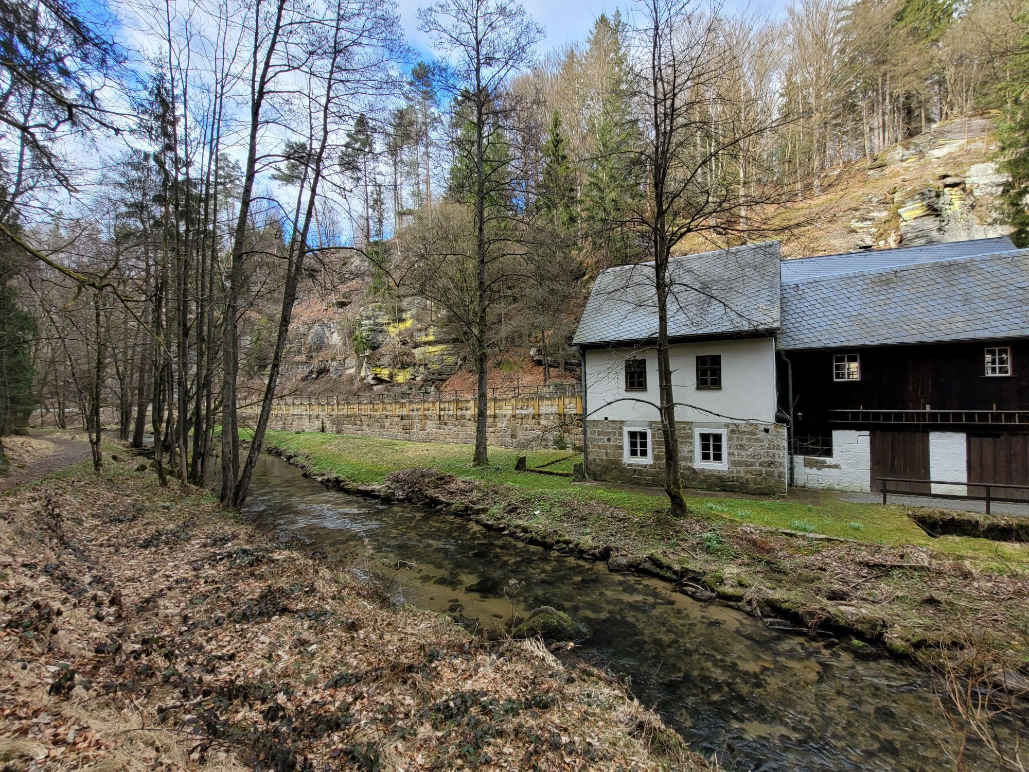
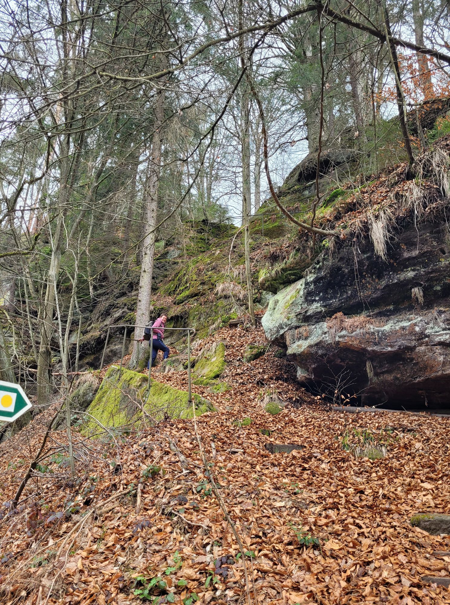
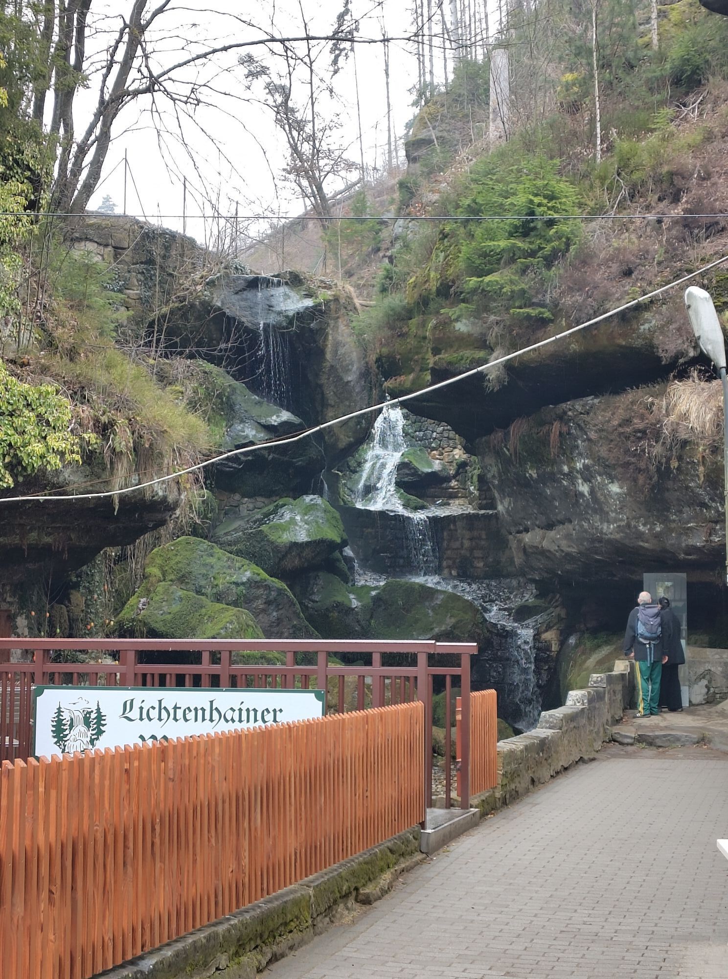
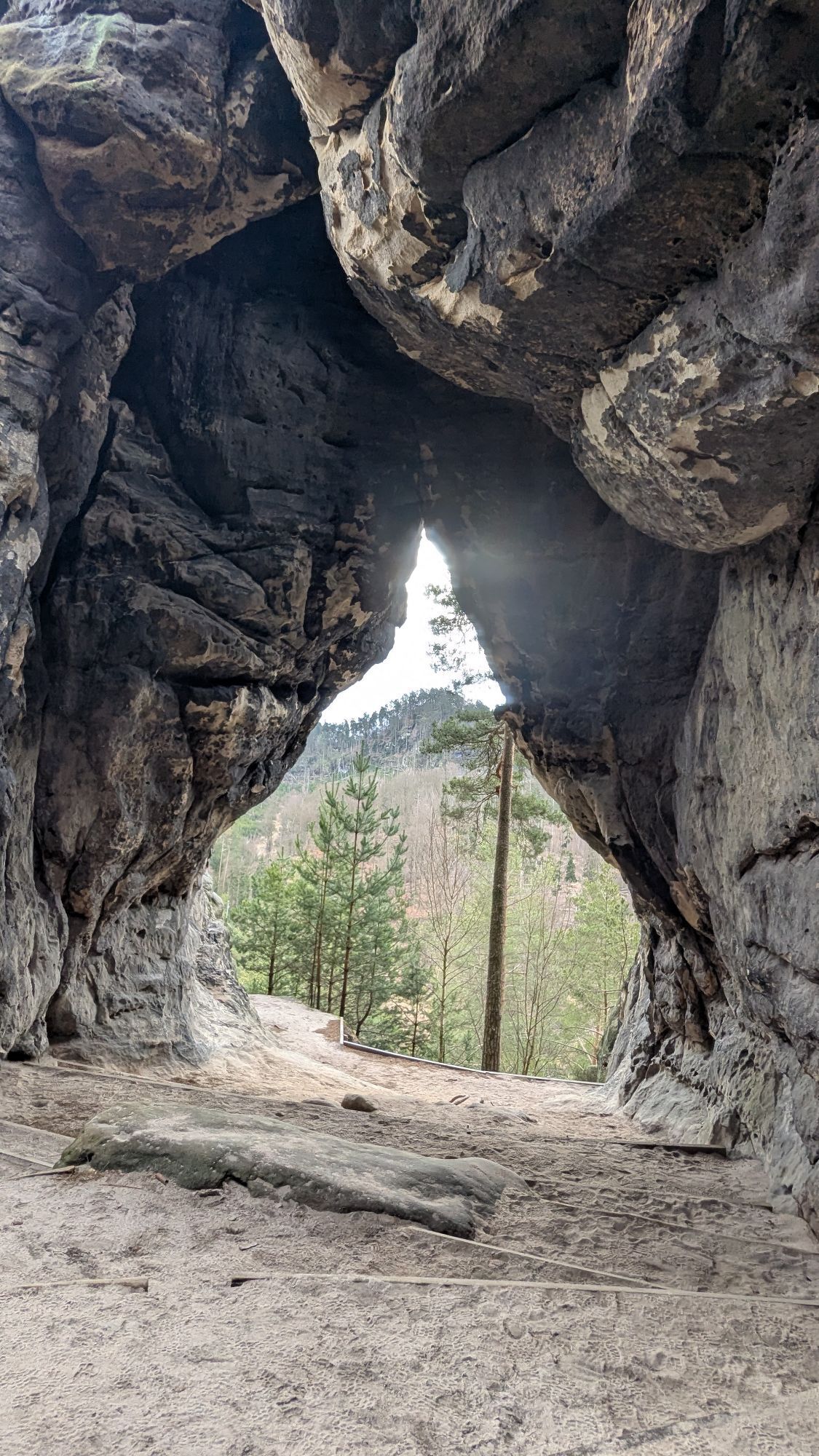
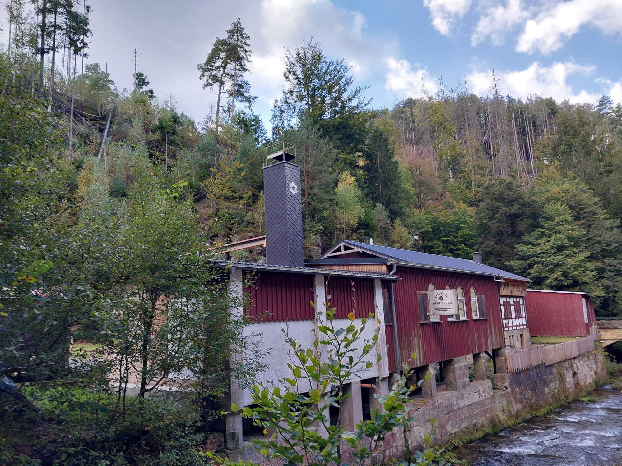
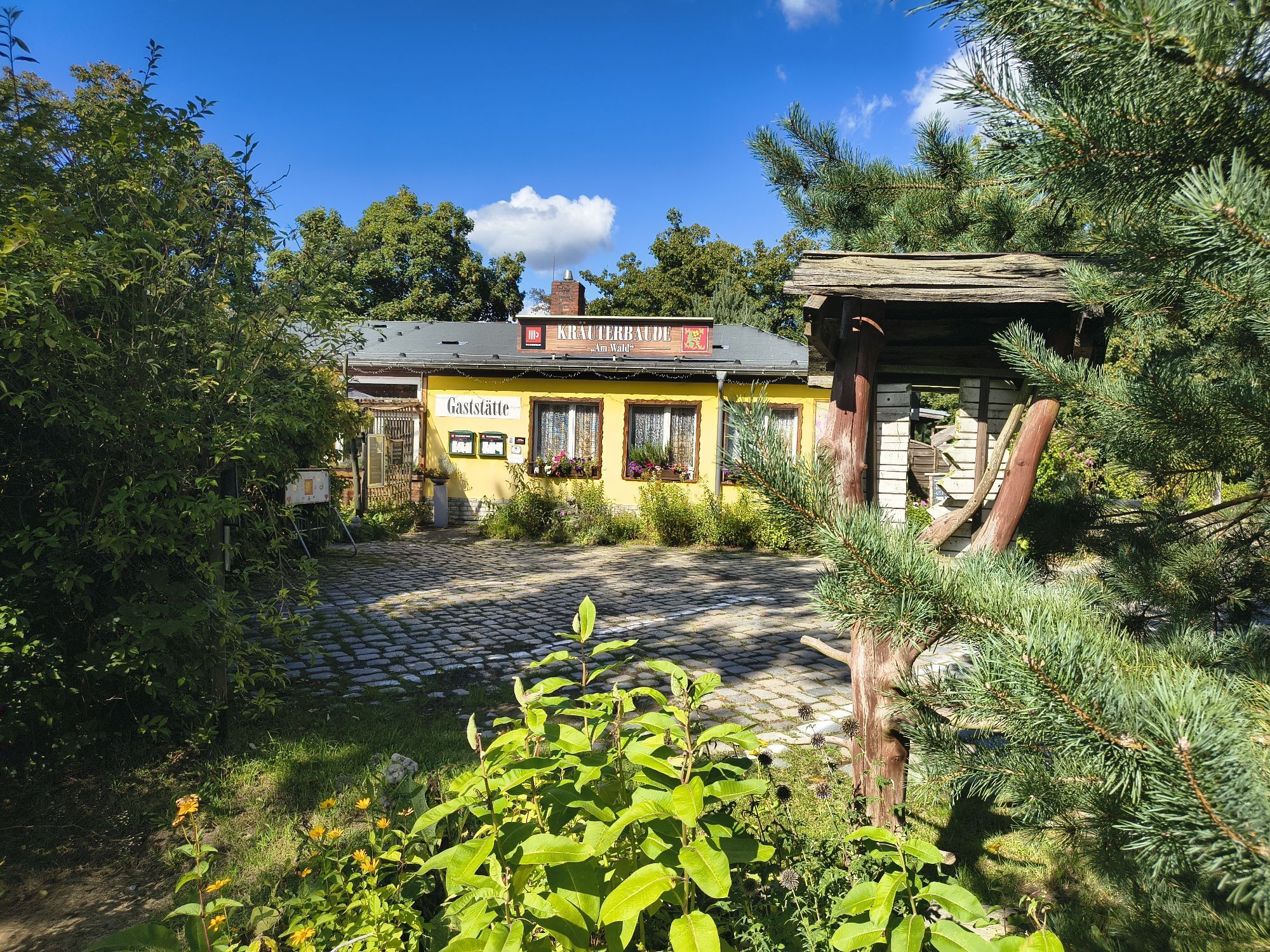
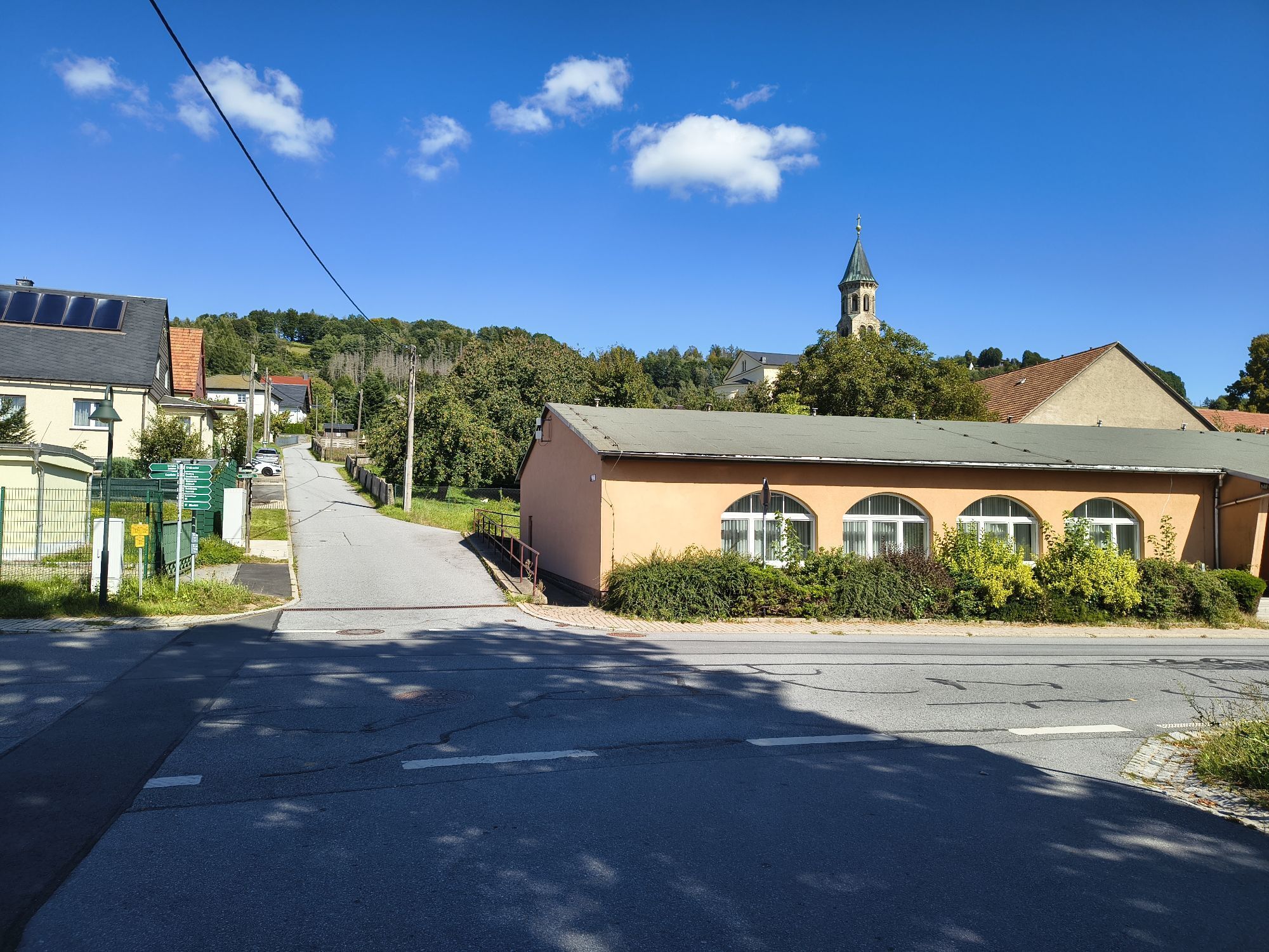
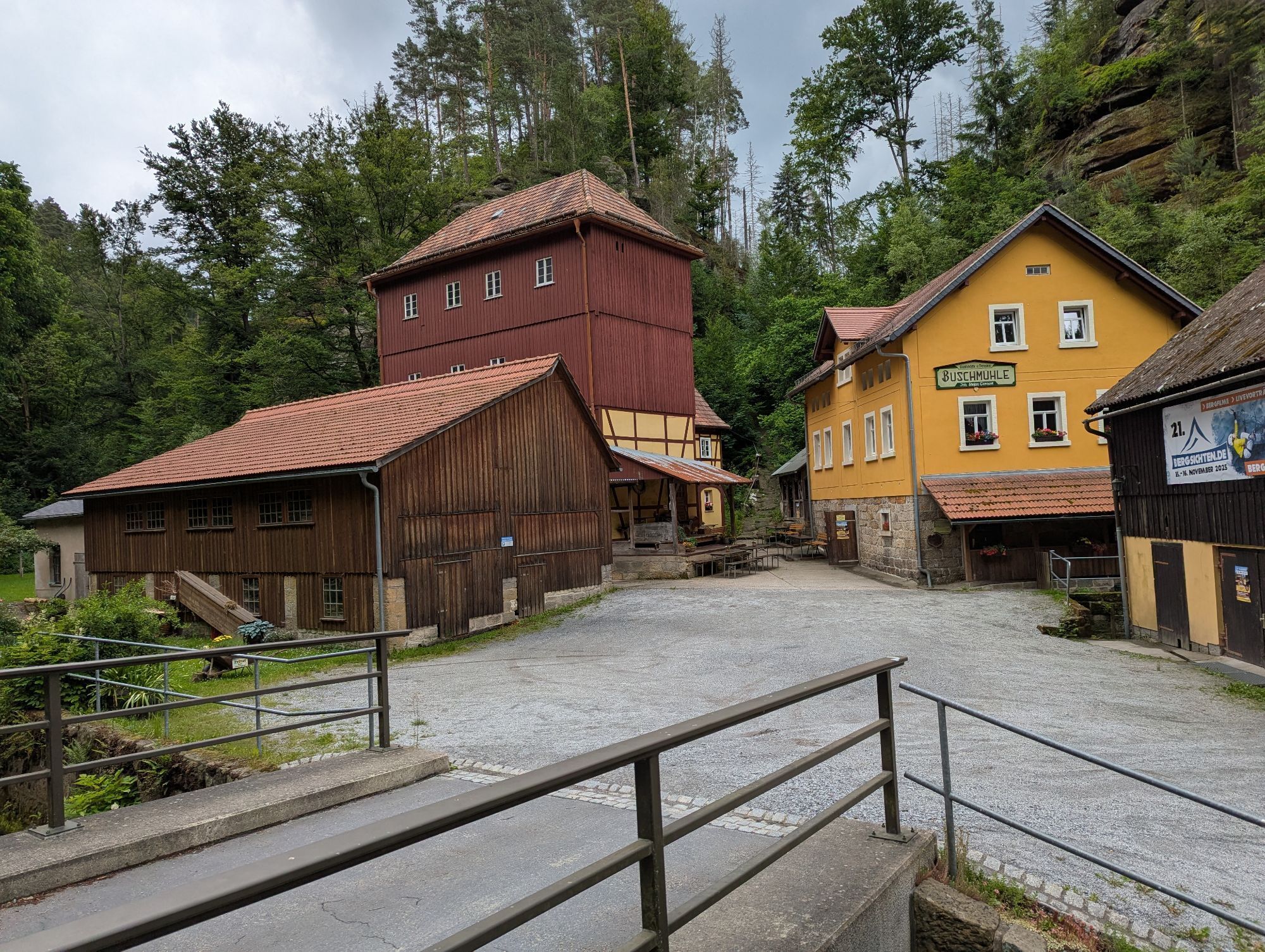
The tour starts at the Sebnitz National Park railway station. From here you go to the market square of Sebnitz. There you turn right into Kirchstraße. After the town church "Peter and Paul" turn left into Pfarrgasse, which you leave shortly afterwards to the right into Friedhofstraße. At the fork in the road, turn into Obergasse, which you follow to the S 165. The first steep ascent awaits you along the Albert-Kunze-Weg and rewards you with a wonderful view at the Hohe Straße junction. Follow the route to Hinterhermsdorf. The route is marked with a red dot on a white background. Along the way, you pass the Richtermühle mill and the Gnauckmühle mill. In addition, you will frequently discover Umgebindehäuser (half-timbered houses) in the villages. Hinterhermsdorf marks the entrance to the Kirnitzsch valley, where you will find more mills (Räumigtmühle, Buschmühle, Neumannmühle, Felsenmühle). Some of them are used for catering, the Neumannmühle alone is still in operation and can be visited. In the Kirnitzsch Valley, a relaxed 10 km descent awaits you to the Lichtenhain Waterfall, a true Kirnitzsch Valley curiosity. How many waterfalls flow at the "push of a button"?Shortly after the waterfall with a sharp right turn, the route leads up to Lichtenhain. In Lichtenhain you follow the valley road, then turn right into the main road and after about 200m turn left into Neue Straße. After a short while you cross the S 154 on the right and follow the Ulbersdorfer Weg to Ulbersdorf. After a winding descent, you reach the Sebnitz valley, where you have the option of taking the Saxon-Bohemian-Semmering Railway to shorten the way back to Sebnitz.
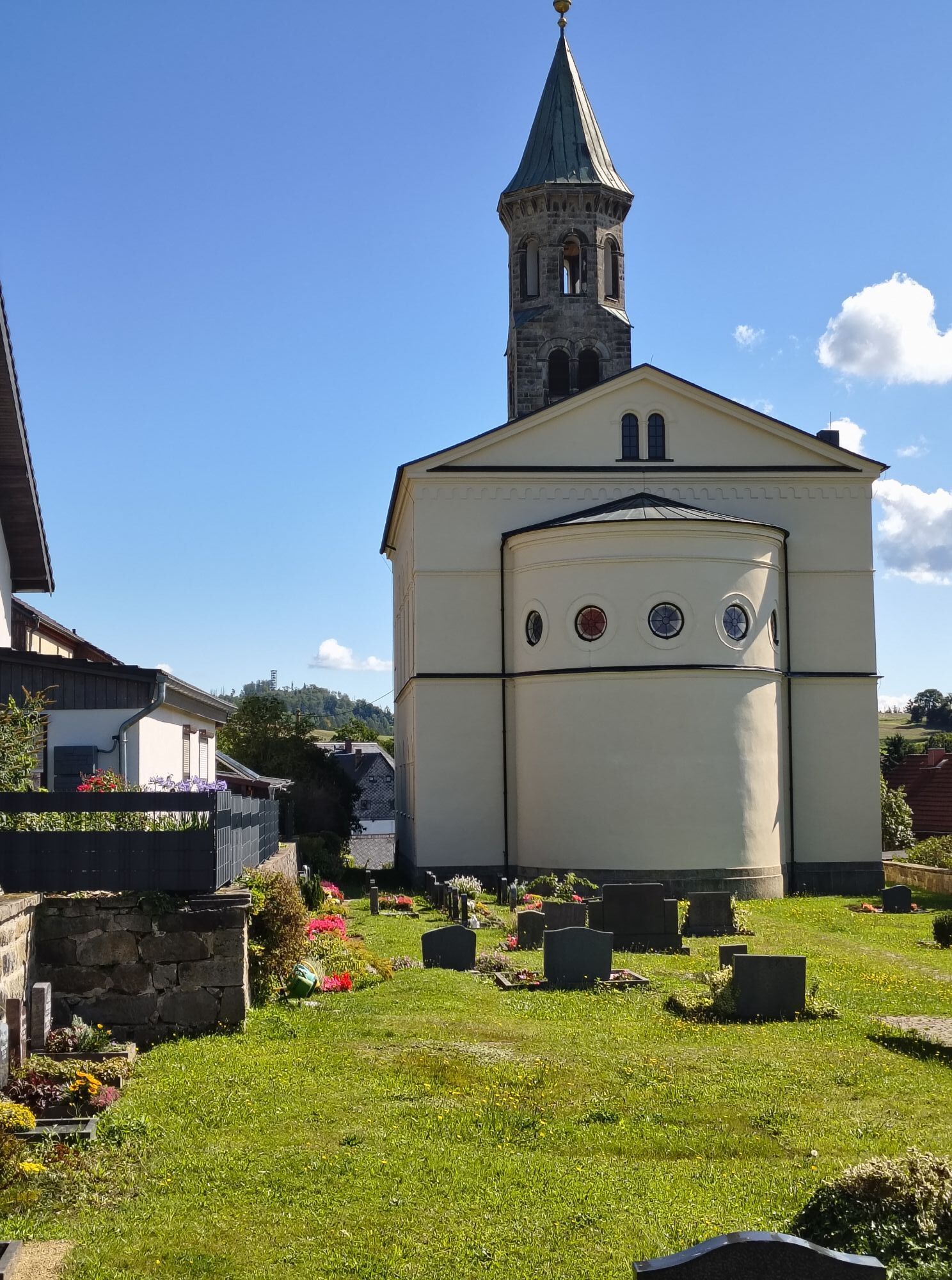
If you want to continue cycling, ride uphill through Ulbersdorf past the church and castle, cross the S 165 and continue towards Krumhermsdorf. The next 500 metres are 18% steep and you reach the highest point of the Tor (416 m) at the top. From here you have a beautiful view towards the Ore Mountains. At the entrance to Krumhermsdorf, the trail continues to the right to Schönbach. To stay on the Sebnitz/Kirnitzschtal circular cycle route, turn right in Schönbach into the "Goldgruben". After passing the railway subway, shortly afterwards you reach the S 165, which you turn left into.At the shopping centre, turn right onto Ulbersdorfer Weg and follow this until you reach the S 154. Follow this road to the left for about 100m until you reach the bridge. There turn right into Hainersdorfer Weg, following the signs for the cycle path. Follow Hainersdorfer Weg and Lessingweg until you reach the bus station. There you turn left towards the roundabout. Take the first exit via Schandauer Straße until you reach the market square again. Follow the same path as at the beginning of the tour to reach the train station.
There are many parking options in Sebnitz.
Webové kamery z prohlídky
Oblíbené prohlídky v okolí
-
4.6
Von Rathewalde zur Bastei
Turistika 12.8 km -
4.7
Rathen / Hockstein / Bastei / Rathen
středníTuristika 14.4 km -
4.9
Rundwanderung Bastei Schwendenlöcher -Amselsee
světloTuristika 6.21 km -
4.5
Kuhstall, Himmelsleiter und Schneiderloch
středníTuristika 4.06 km -
5.0
Basteibrücke
světloTuristika 2.31 km -
4.7
Pfaffenstein Sachsen/Deutschland
středníTuristika 3.89 km -
5.0
Prebischtor
středníTuristika 18.9 km -
5.0
entlang der Schrammsteine, Breite Kluft, Affenwand
středníTuristika 11.6 km -
5.0
Lilienstein
světloTuristika 3.75 km -
5.0
Traumrunde
heavyTuristika 10.3 km
Pěší turistika a stopování


Nenechte si ujít nabídky a inspiraci pro vaši příští dovolenou
Vaše e-mailová adresa byl přidán do poštovního seznamu.