


Spree Cycle Route – From the River’s Source to Local Lakes
Fotografie našich uživatelů
-
 © Ines HeringVytvořeno dne 05.04.2026
 -
 © berg-wandererVytvořeno dne 05.04.2026
 -
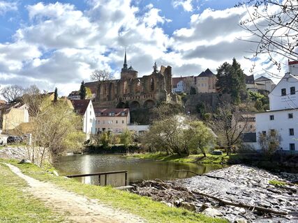
 © berg-wandererVytvořeno dne 29.03.2026
 -
 © berg-wandererVytvořeno dne 29.03.2026
 -
 © berg-wandererVytvořeno dne 29.03.2026
 -
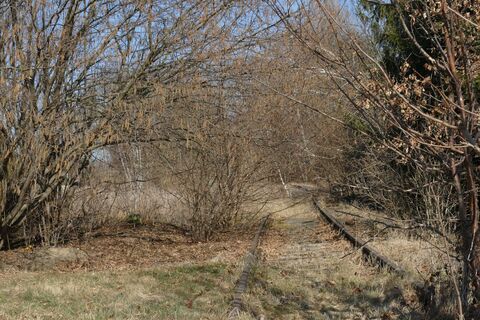 © fleibuVytvořeno dne 09.03.2025
 -
 © fleibuVytvořeno dne 09.03.2025
 -

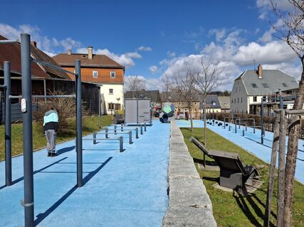
 © nordbergschneckeVytvořeno dne 06.04.2026
 -
 © nordbergschneckeVytvořeno dne 06.04.2026
 -
 © nordbergschneckeVytvořeno dne 06.04.2026
 -
 © nordbergschneckeVytvořeno dne 06.04.2026
 -
 © nordbergschneckeVytvořeno dne 06.04.2026
 -
 © nordbergschneckeVytvořeno dne 05.04.2026
 -

 © hochlandfamilieVytvořeno dne 10.03.2026
 -
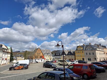
 © Matthias NeidhardtVytvořeno dne 03.10.2025
 -
 © Matthias NeidhardtVytvořeno dne 03.10.2025


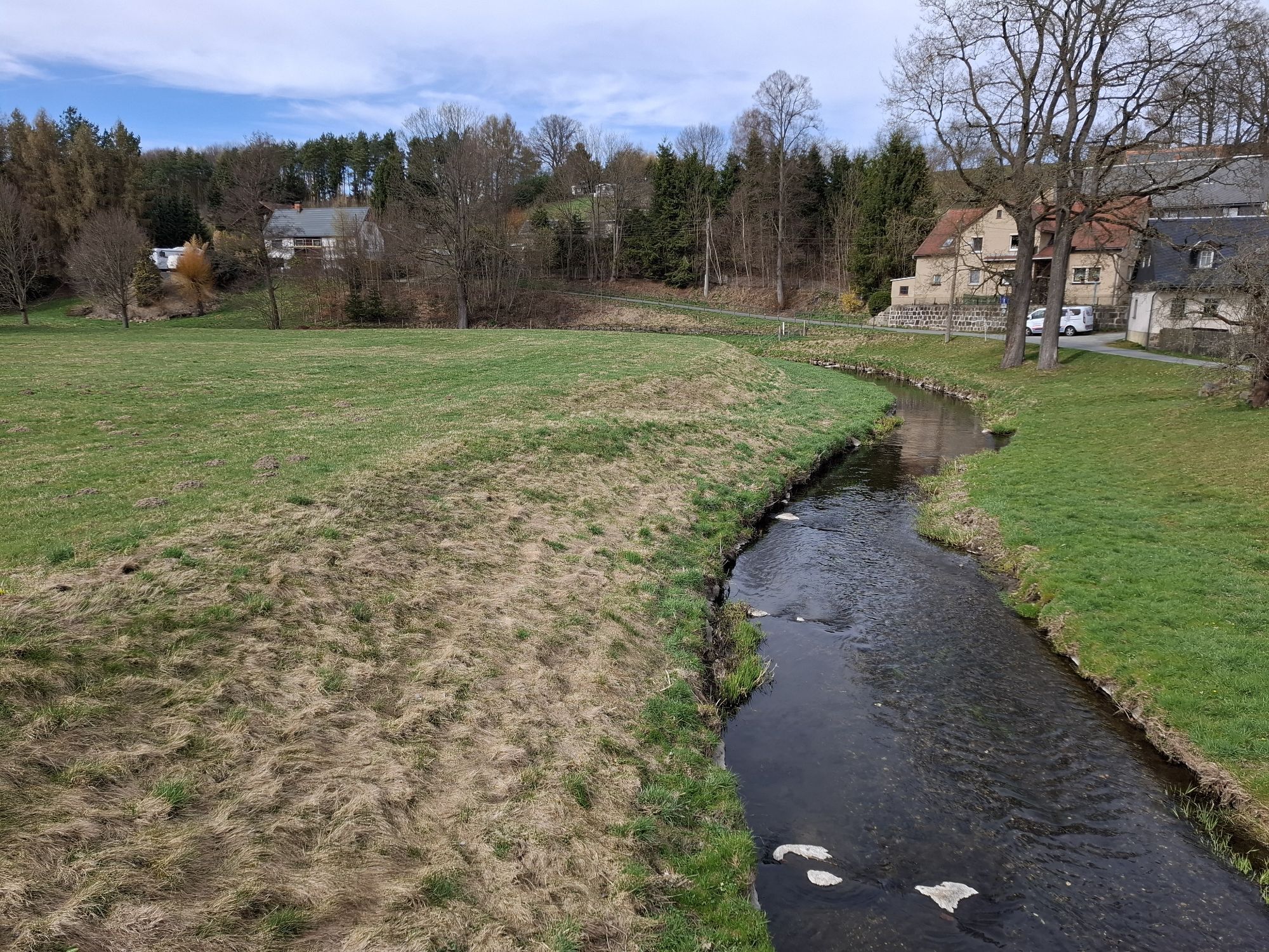
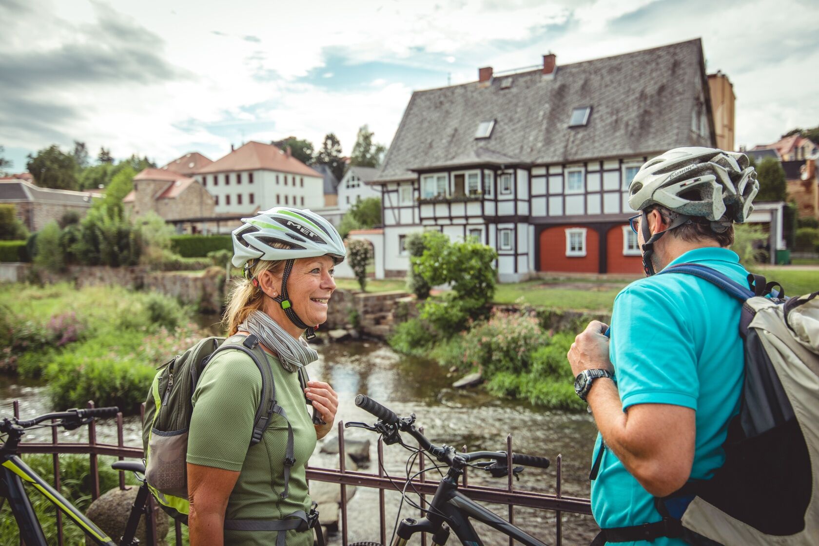
One of the three sources of the Spree is right in the middle of a beech grove in Kottmar, and this is where the Spree Cycle Route starts. The track winds its way through the picturesque hills of the “Lausitzer...
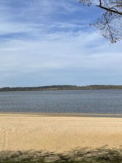
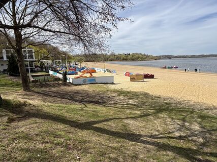
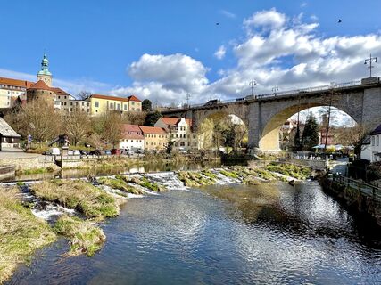
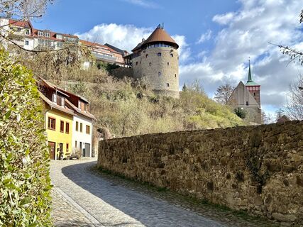
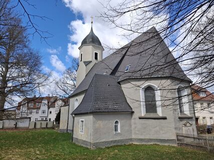
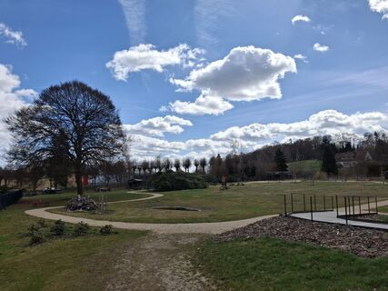
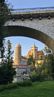
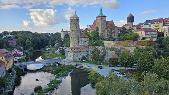
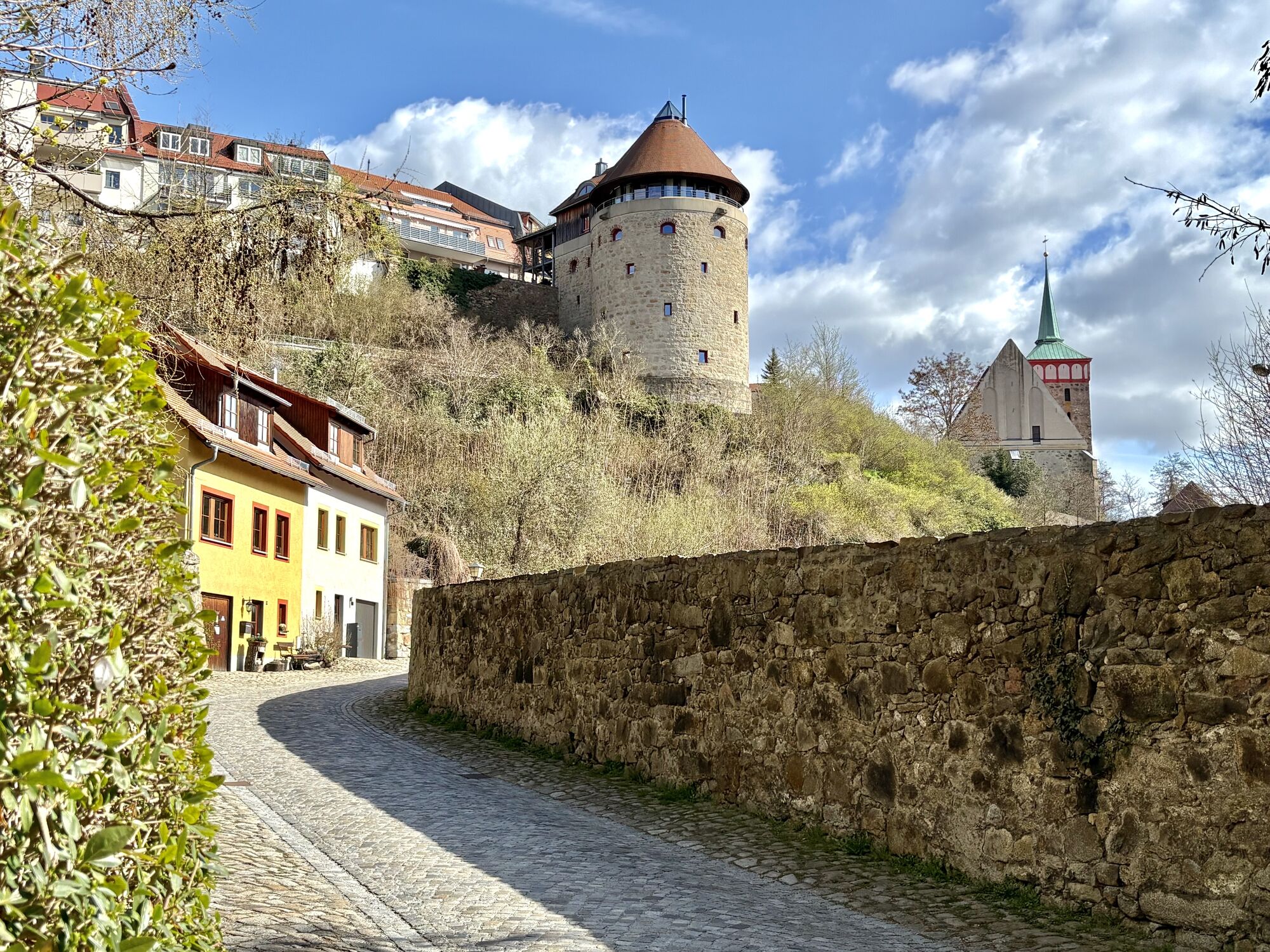
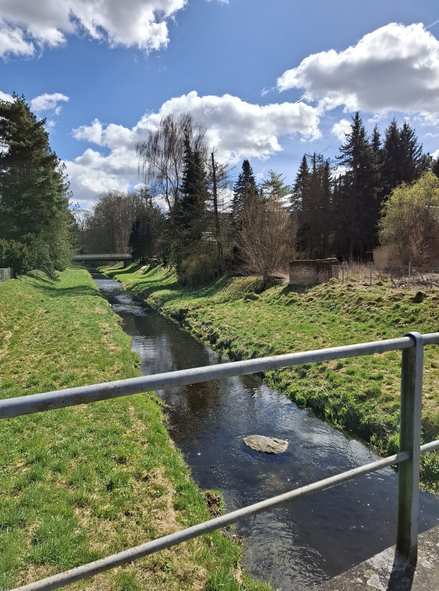
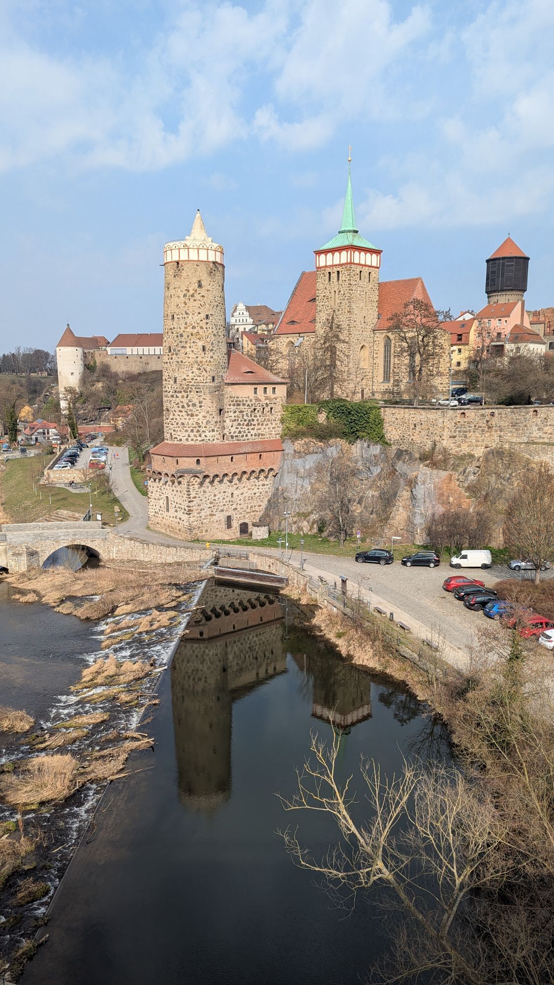
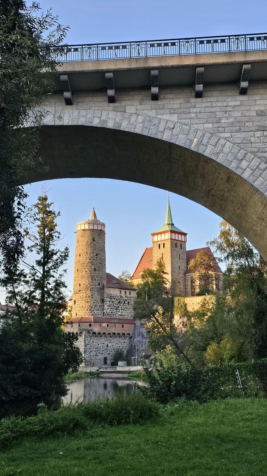
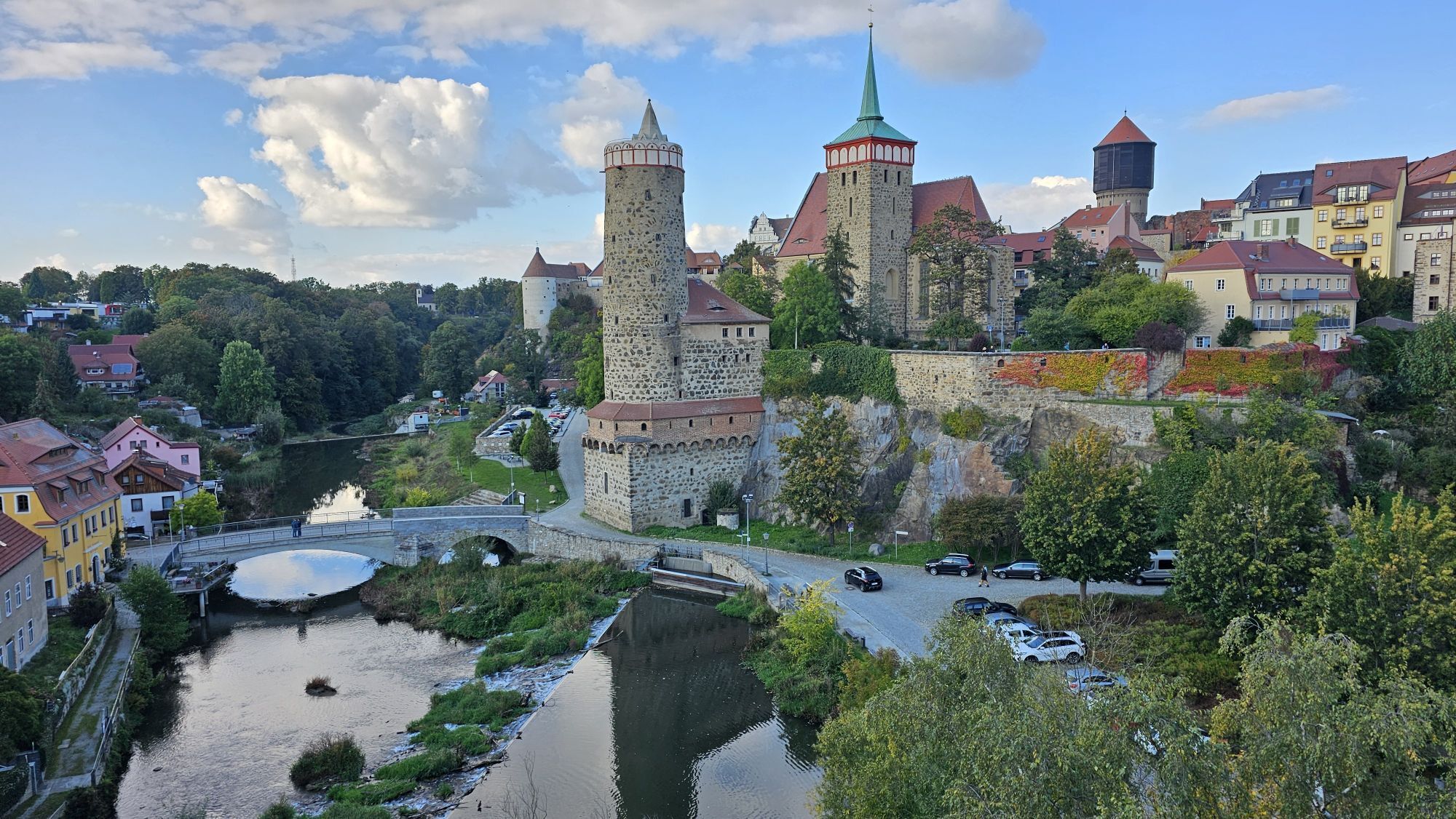
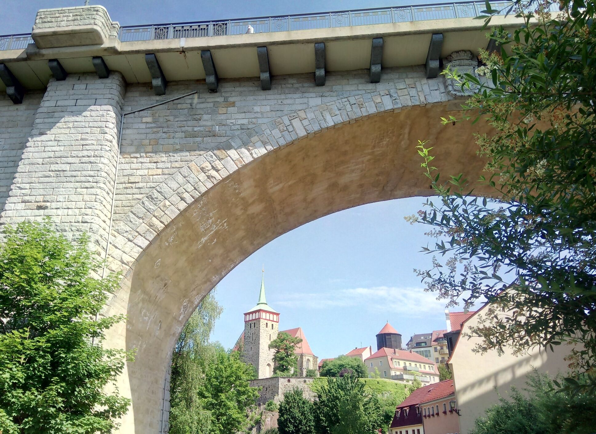
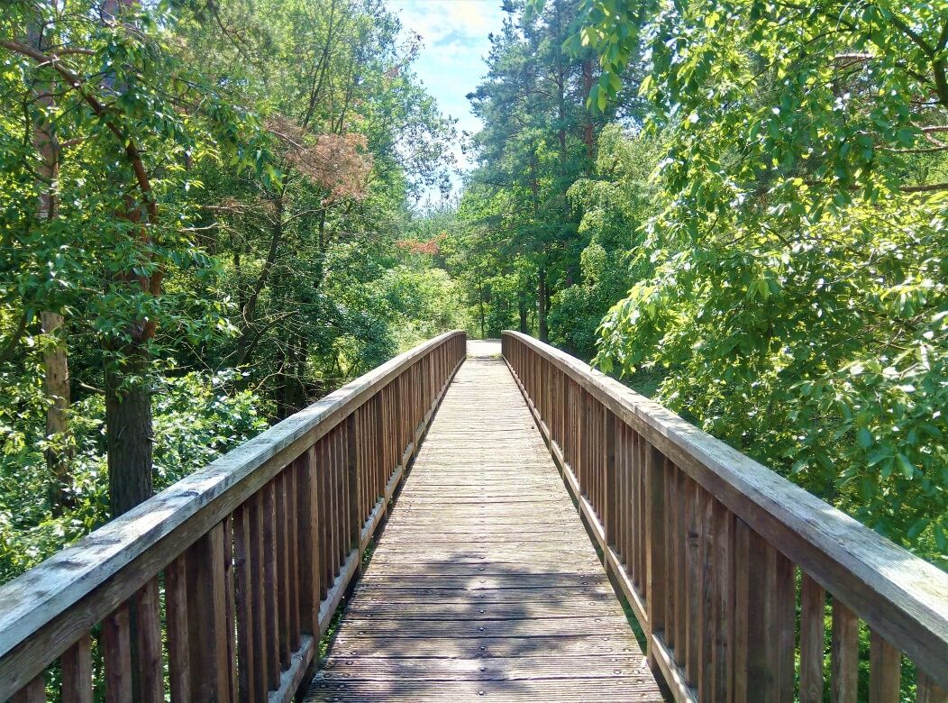
One of the three sources of the Spree is right in the middle of a beech grove in Kottmar, and this is where the Spree Cycle Route starts. The track winds its way through the picturesque hills of the “Lausitzer Bergland“ to the fascinating UNESCO protected heathland and pond landscape of the Oberlausitz (Upper Lusatia) region. After 120 kilometres, the route ends in a lakeland featuring “Bärwalder See“ as a successful example of regenerating a region that used to be dominated by open pit mining. A number of other cycle routes cross the Spree track, offering attractive detours. However, the Spree Cycle Route features enough sights as it is: There’s the region’s traditional architecture to be seen in the Schirgiswalde area, the towers of Bautzen, Bärwald lake for a swim or the blissfully deserted open spaces between the Oberlausitz‘ ponds.
Road-safe (e-) trekking bike, bicycle helmet, saddlebags or trekking bike backpack (approx. 35 liters) with rain cover, comfortable sports shoes, if necessary cycling shoes, weather-adapted and hard-wearing clothing based on the multi-layer principle, if necessary cycling tricots, a change of clothes, cycling gloves Air pump, bicycle tool, sun and rain protection, provisions and drinking water, drinking bottle and suitable holder, first aid kit, pocket knife, mobile phone, if necessary mobile phone holder for the handlebar, headlamp and reflectors, maps, travel documents, Toiletry bag and travel towel, hand washing detergent and clothesline, if necessary hut equipment
Please note the relocation of the Spreeradweg to Bautzen.
Parkplätze am Kottmar:
Parkplatz Spreequelle, Parkplatz an der Hauptstraße
Parkplätze in Bautzen:
Touristenparkplatz Schliebenstraße, Parkplatz Schützenplatz
Parkplatz in Uhyst:
Parkplatz am Bärwalder See (kostenpflichtig)
Parkplatz in Spremberg:
Parkplatz in der Georgenstraße
Plan the Spreeradweg in 2 stages
Webové kamery z prohlídky
Oblíbené prohlídky v okolí
-
Naturerlebnispfad Guttauer Teiche - přirodna wučbna šćežka podłu Hućinjanskich hatow
světloTuristika 5.37 km -
Bautzen - Stadtspiel für Kinder - Oberlausitzer Sechsstädtebund
světloProcházka 2.30 km -
Napoleon.Krabat.Karl XII.
světloTuristika 6.37 km -
Großdubrauer Rundwanderweg
světloTuristika 8.84 km -
Sorbische Impressionen in der Oberlausitz / Serbske impresije w Hornej Łužicy
středníJízda na kole 87.8 km -
Seeadlerrundweg - puć kosćełamaka
světloJízda na kole 88.5 km -
Auf den Spuren des seligen Alojs Andritzki durch Radibor
světloTuristika 1.26 km -
Storchentour
světloJízda na kole 23.5 km -
Schloss Neschwitz-Tour
středníJízda na kole 37.6 km -
Bautzen-Weißenberg-Tour
středníJízda na kole 52.7 km
Pěší turistika a stopování


Nenechte si ujít nabídky a inspiraci pro vaši příští dovolenou
Vaše e-mailová adresa byl přidán do poštovního seznamu.