







Schierker Panorama-Runde

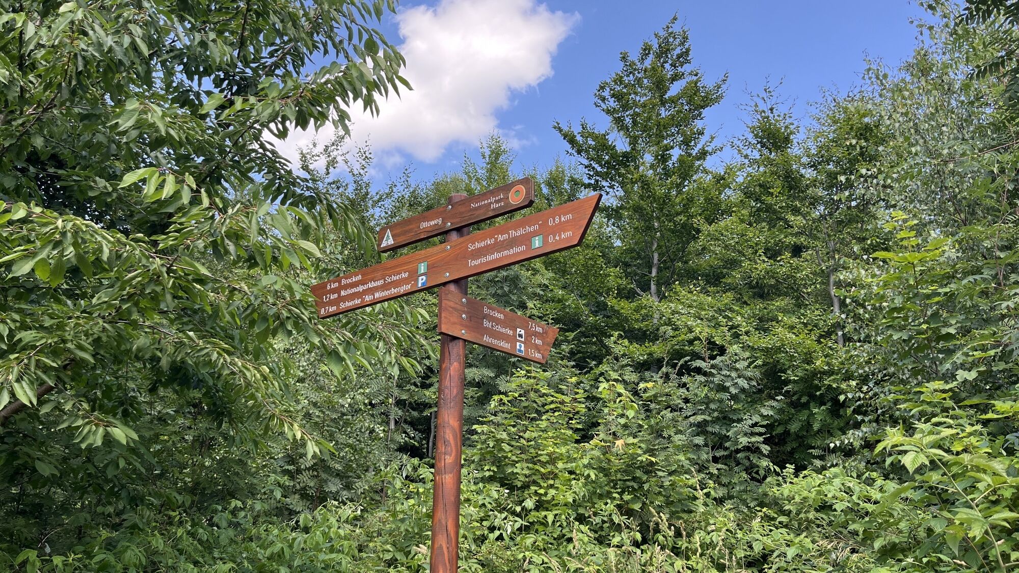
Tourist-Information Schierke - Ottoweg - Brockenscheideck - Bodebrücke - Exzellenzenweg - Barenberg - Schierker Feuerstein Arena - Kurpark - Tourist-Information (Länge ca. 4.2 km)

Kartenmaterial ist in der Wernigerode Tourismus GmbH / Tourist-Information Schierke (Brockenstraße 7 A, 38879 Wernigerode OT Schierke) erhältlich.
Parkhaus "Am Winterbergtor"
Am Winterbergtor Parkplatz für PKW bis 2 Meter Höhe
700 überdachte PKW-Stellflächen, Toiletten
Ladestation für Elektro-Autos
Die Ortsmitte mit der Tourist-Information ist über eine Fußgängerbrücke zu erreichen. Loipeneinstieg und Wandereinstieg (Nationalpark, Brocken) direkt am Parkhaus. Bushaltestelle direkt an der Ein- / Ausfahrt zum Parkhaus.
Webové kamery z prohlídky
-
Wurmberg
-
Schierke Parkhaus
-
Schierke Parkhaus
-
Schierke Parkhaus
-
Schierke Parkhaus
-
Schierke Parkhaus
-
Schierke Parkhaus
-
Schierke Parkhaus
-
Brocken
-
Schierke Feuersteinarena
-
Hexenritt
-
Hexenritt
-
Wasserwelt
-
Ziegengehege
-
Bergstation Wurmbergseilbahn
-
Bergstation Wurmbergseilbahn
-
Webcam vom Schierke Harzresort

Oblíbené prohlídky v okolí
-
4.6
durchs Ilsetal zur Plessenburg
středníTuristika 13.7 km -
4.6
Ilsenburg - Brocken - Ilsenburg
středníTuristika 23.0 km -
4.5
Trail Brocken über Ecklochstieg Schierke
heavyTuristika 12.9 km -
4.6
Schierke / Brocken / Schierke
heavyTuristika 15.2 km -
4.3
Brockentour
světloTuristika 18.8 km -
3.8
vom Oderteich zur Achtermannshöhe
středníTuristika 11.3 km -
4.4
Oderteich
světloTuristika 5.13 km -
4.2
Harzer Wandernadel 41,42 und 40
světloTuristika 10.3 km -
4.8
Wege zum Brocken - ab Oderbrück
středníTuristika 7.71 km -
5.0
von Königskrug zum Wurmberg
středníTuristika 13.6 km
Pěší turistika a stopování


Nenechte si ujít nabídky a inspiraci pro vaši příští dovolenou
Vaše e-mailová adresa byl přidán do poštovního seznamu.





