


Altmark circular route: From Klötze to the Hanseatic city of Salzwedel
The stage from Klötze back to the Hanseatic city of Salzwedel as the last stage really challenges us again. Fortunately, there is so much to see and experience along the way that the time flies by.
When...
The stage from Klötze back to the Hanseatic city of Salzwedel as the last stage really challenges us again. Fortunately, there is so much to see and experience along the way that the time flies by.
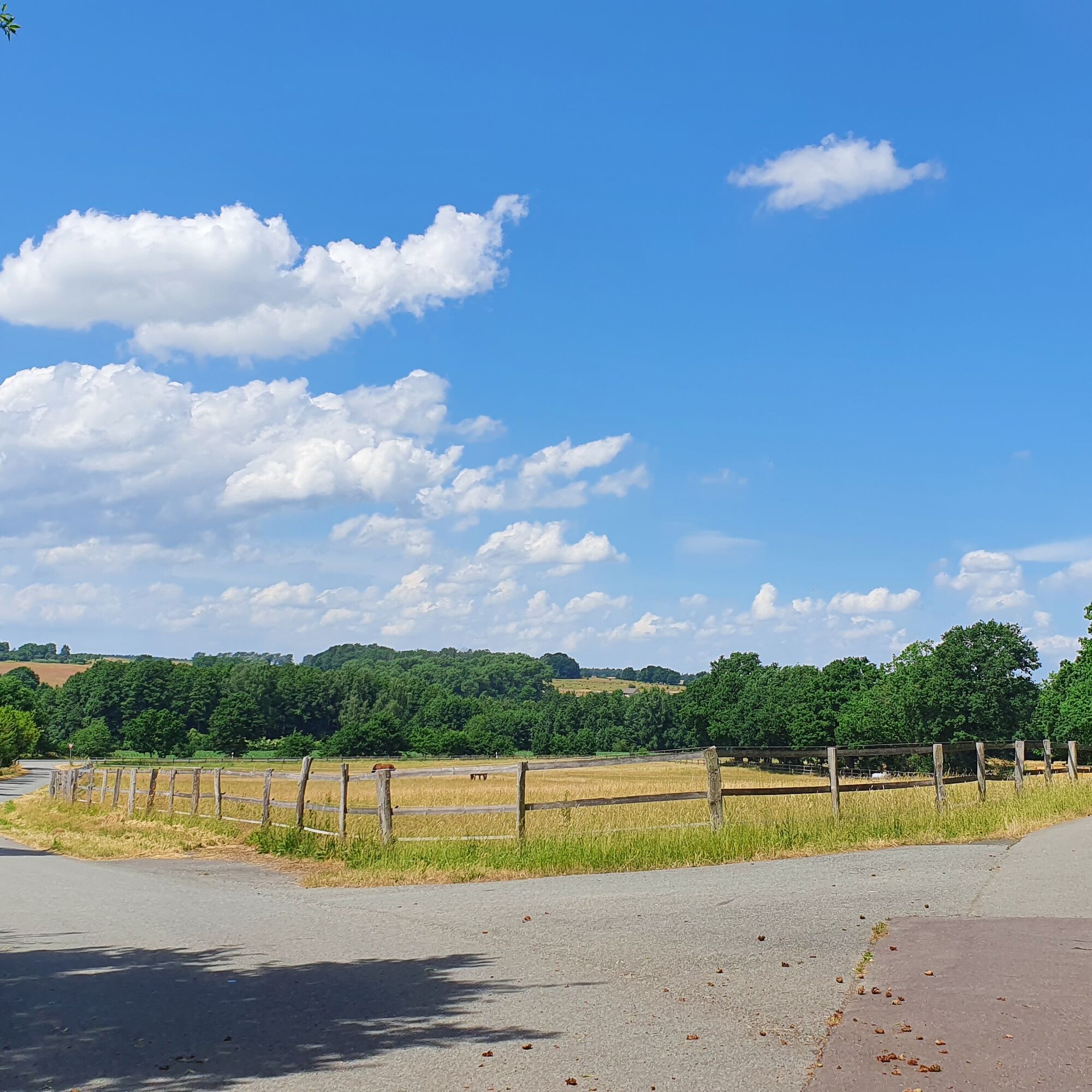
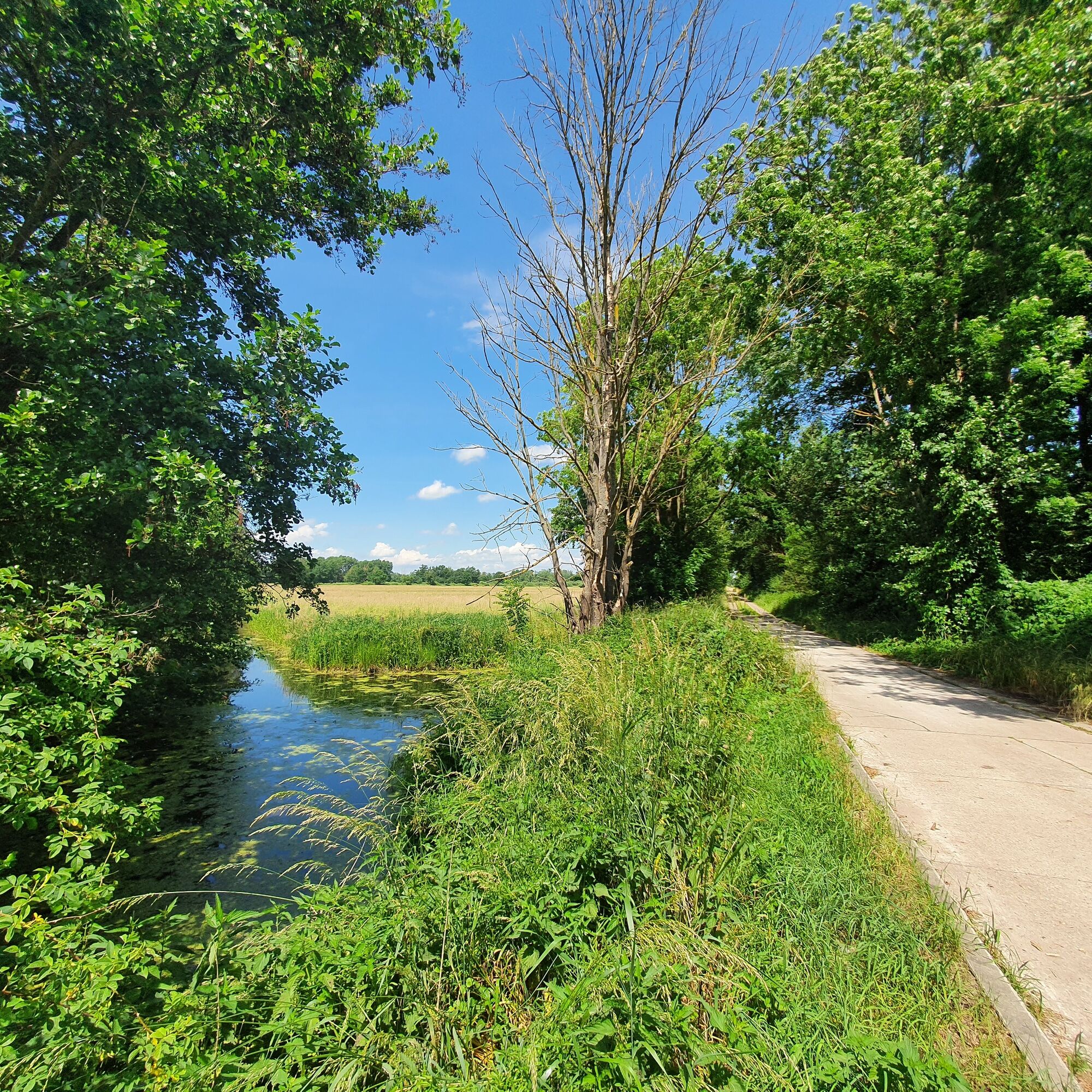
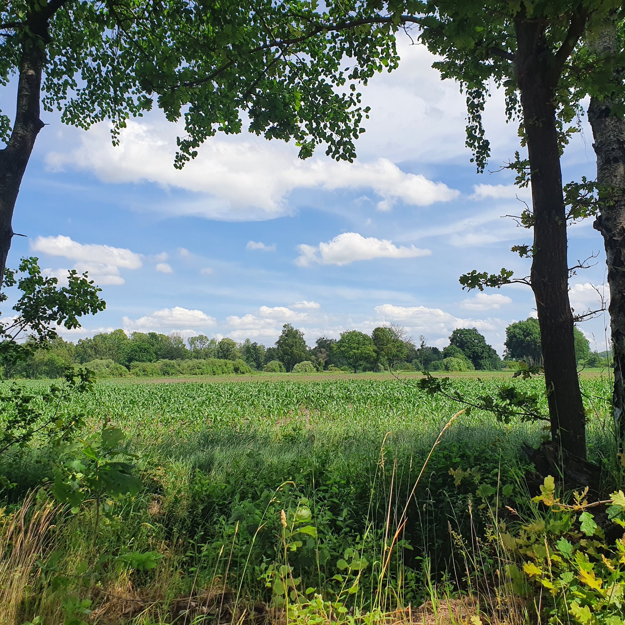
When we leave Klötze, nature dominates at first, as it goes through initially hilly landscape, later towards the Drömling Nature Park, a unique low moor landscape. We marvel at storks, herons and, with a bit of luck, cranes, which gather their food between the cattle and in the ditches.
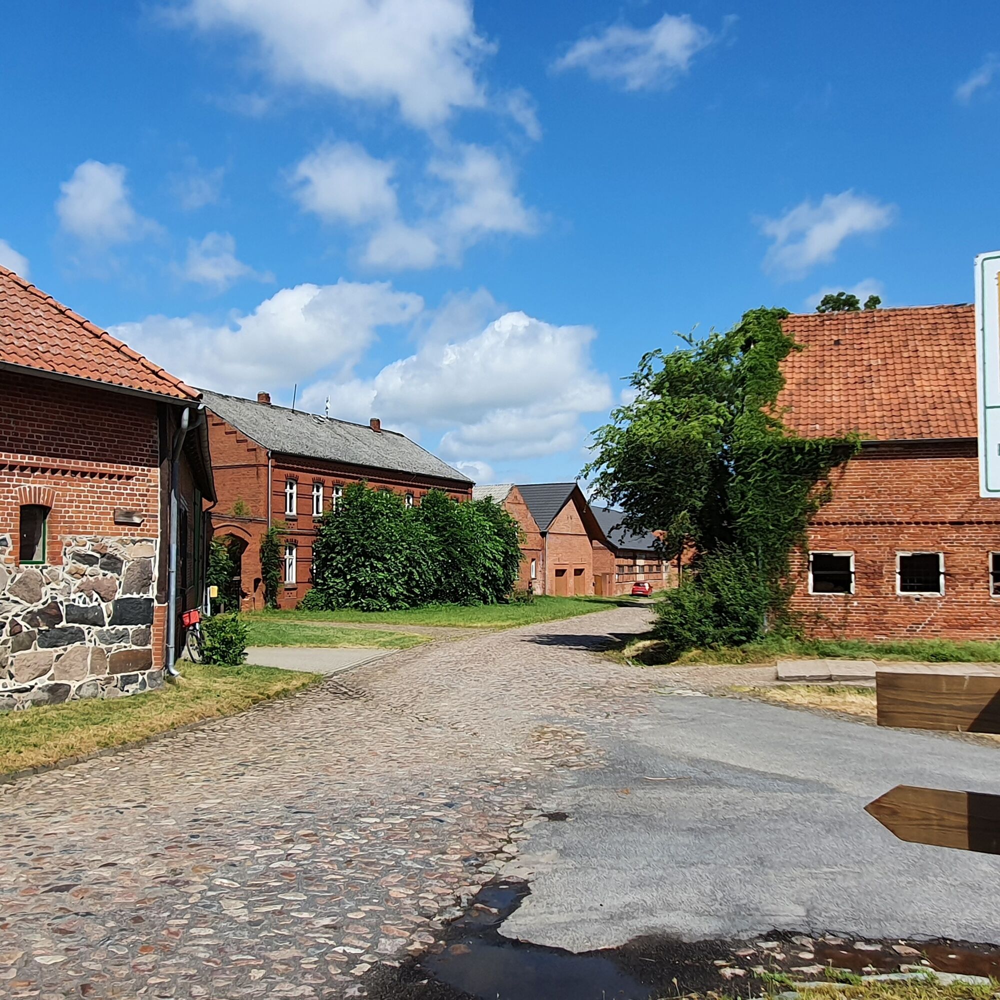
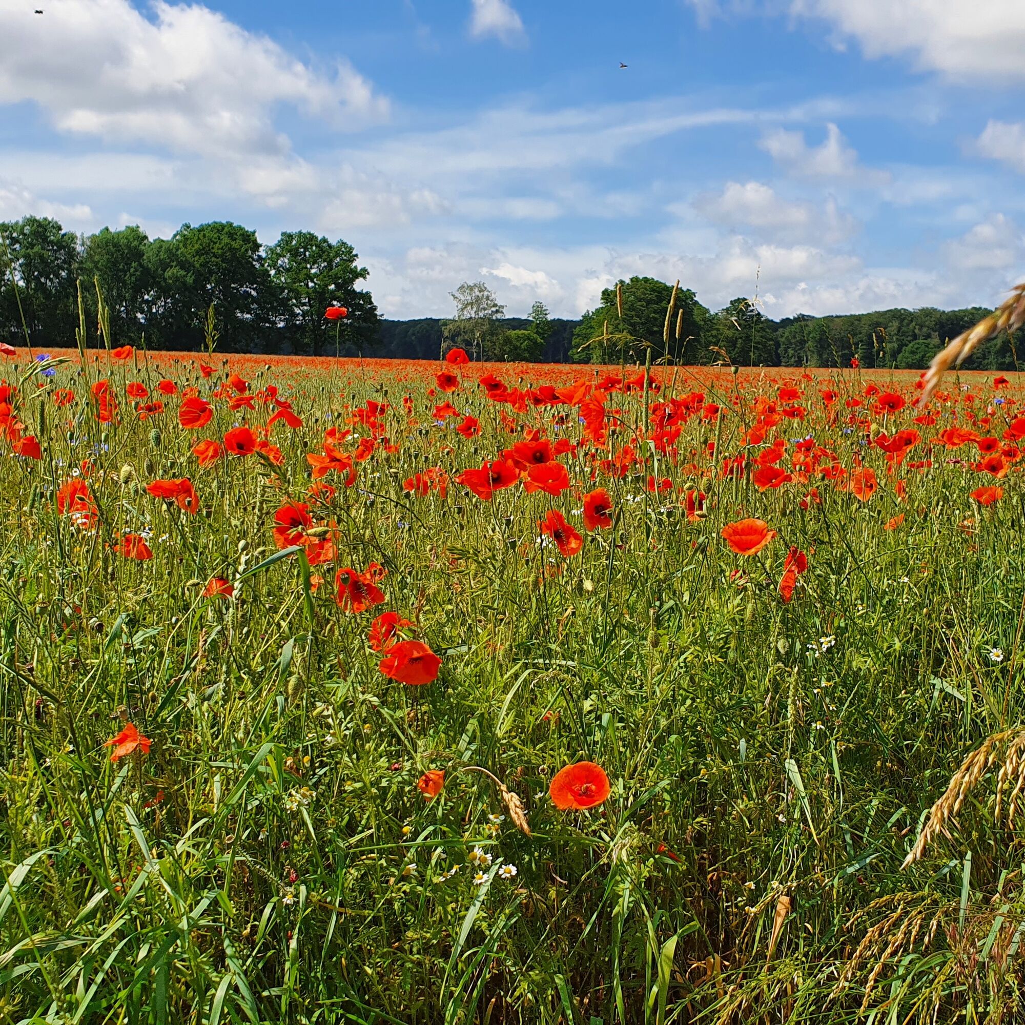
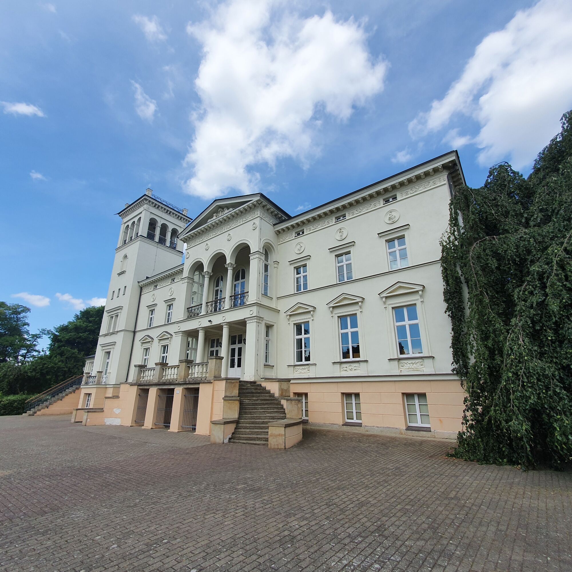
Past Kunrau Castle, the route goes over rolling and bright fields, meadows and large forests through Altmark; in the villages, we find old Romanesque brick churches.
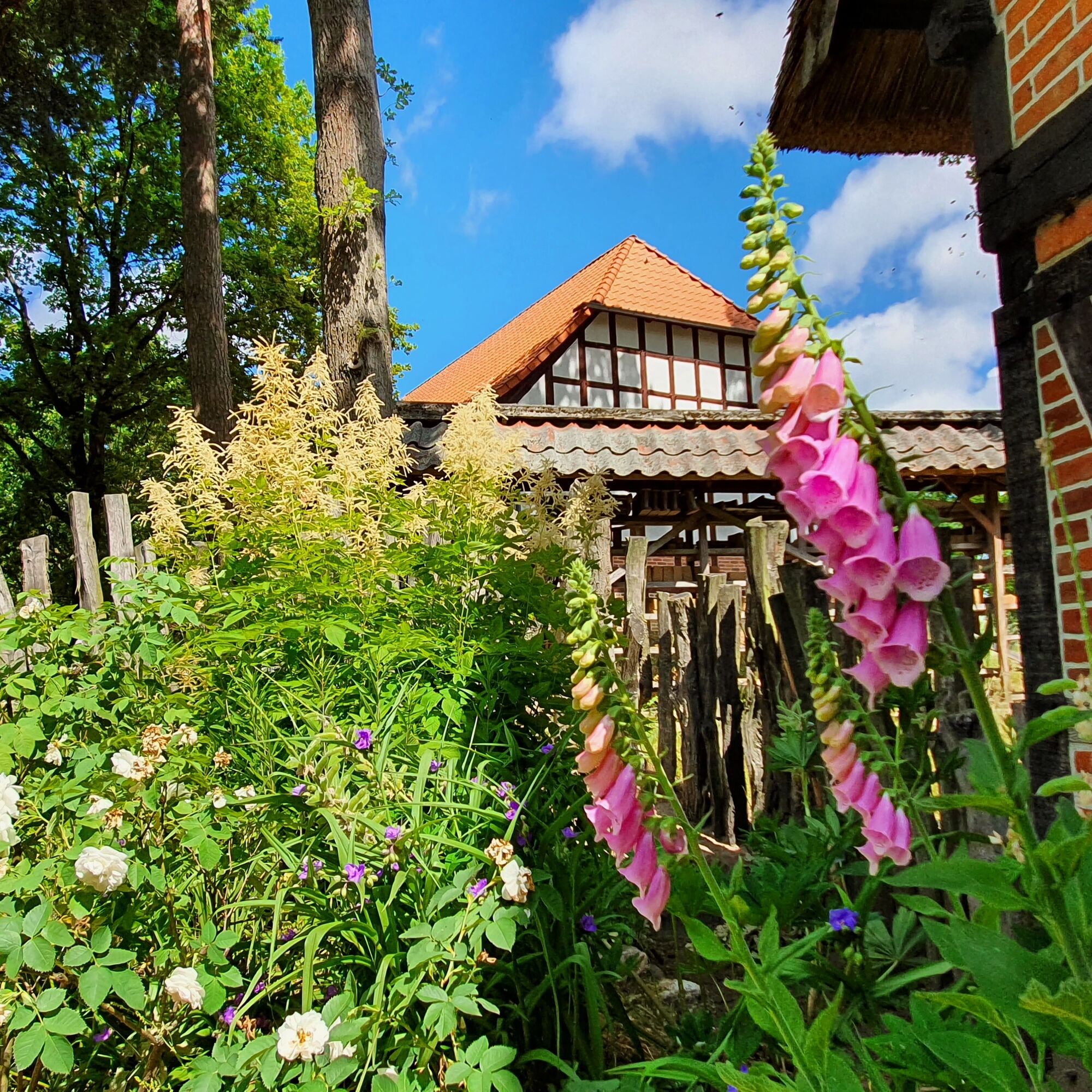
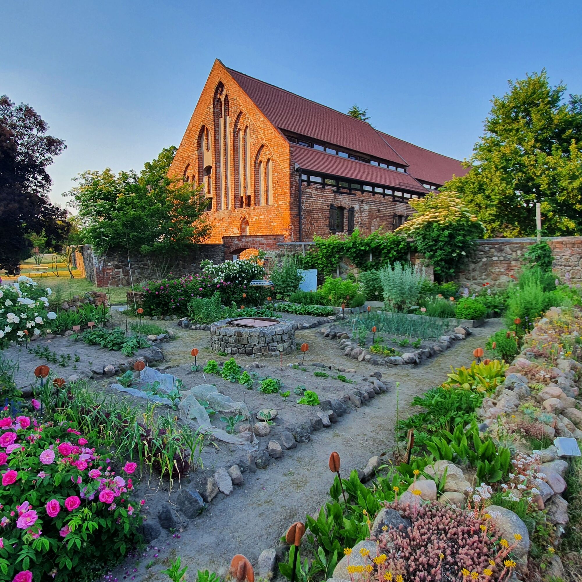
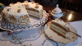
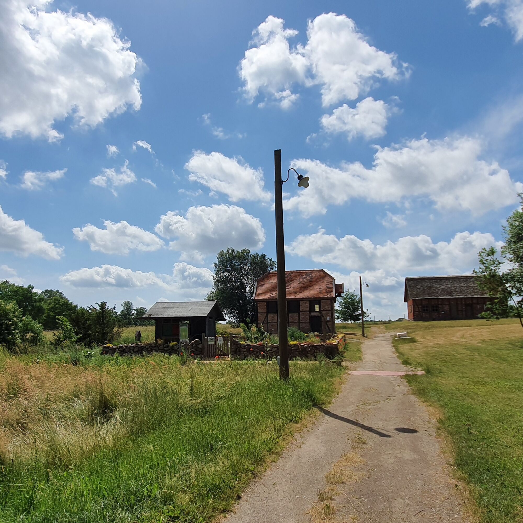
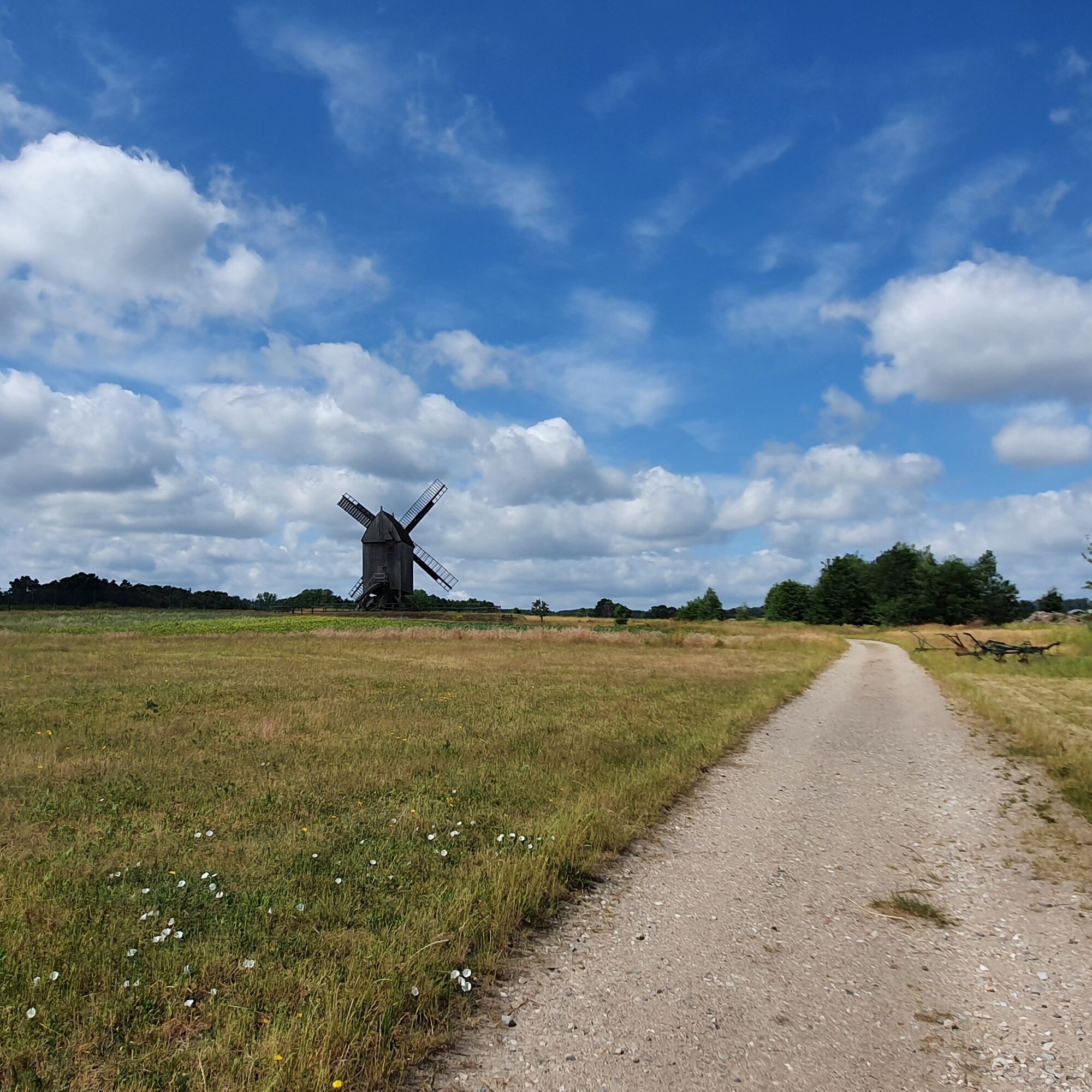
Via Jübar, we reach the peaceful village of Diesdorf, which makes us dismount twice: once to visit the very remarkable open-air museum (with a small café and excellent cake) and a second time to visit the monastery church and the remains of the monastery.
Then continue through small, brick-red villages to Dähre, where we reach flat land again.
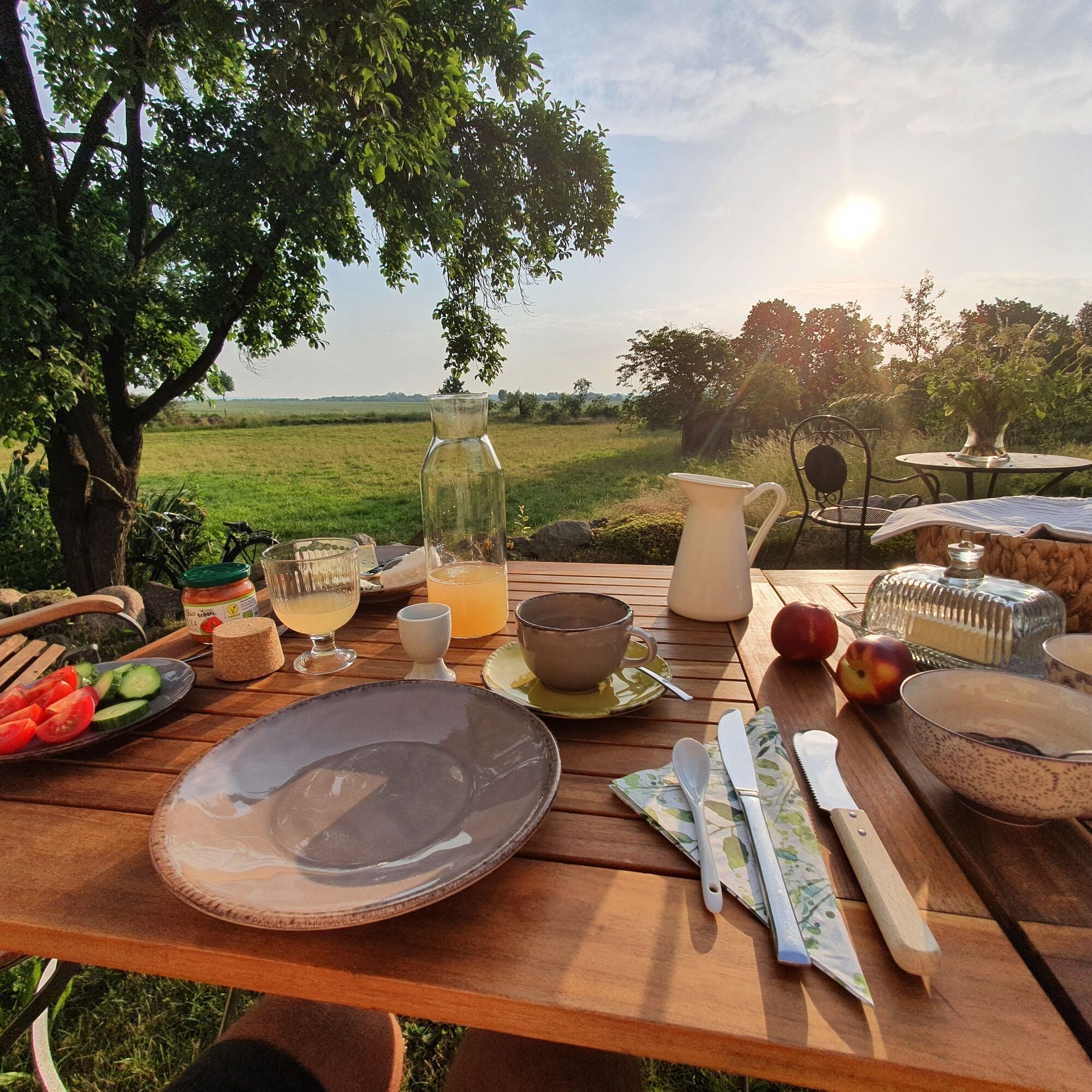
From Dähre, head towards Salzwedel, our tour endpoint. We have earned the Baumkuchen!


The Altmark circular route is also well signposted on this stage.
It goes out of Klötze towards the Drömling Nature Park. Via Trippigleben, we reach the low moors of the Drömling, which we pass through and leave again in Kumrau.
In Kunrau, we follow the path towards Mellin, from here further on to Lübar through large forests. The next goal is Diesdorf, where we reach flat land again. Via Dähre and Wallstawe, we ride to Tylsen.
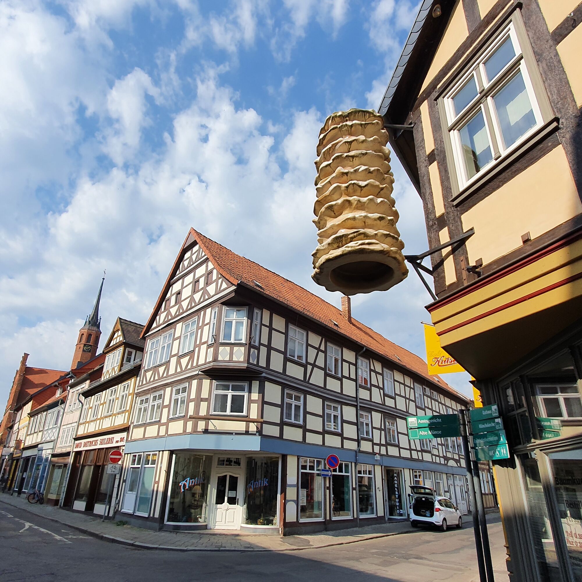
From Tylsen through large fields and small forests into the Hanseatic city of Salzwedel.
Ano
A good bicycle and provisions.
The Altmark circular route is excellently signposted and is safe to ride.
With the Altmark circular route to Klötze.
By bus to Klötze.
The return trip is from the station in Salzwedel.
There are sufficient parking spaces in Klötze, for example at the station.
The stage can also be shortened and interrupted in Diesdorf or Dähre. The hostel at the small vineyard in Dahrendorf is a slight detour but all the more recommendable for it.
Oblíbené prohlídky v okolí
-
Europa-Radweg Eiserner Vorhang Iron Curtain Trail - Am Grünen Band entlang von Gummern bis Oebisfelde
Cyklistika na velkou vzdálenost 164.9 km -
Wildschwein-Tour Klötze
Turistika 12.5 km -
Hike from Border Museum Böckwitz to the Border Trail and Lichtensteinkreuz
středníTuristika 5.34 km -
Grenzerfahrung
středníJízda na kole 196.6 km -
Radroute in der Ohreaue
světloJízda na kole 61.3 km -
Klötzer Moor- und Wald-Tour im Drömling
středníJízda na kole 60.0 km -
Tour 7: Gemalter Glaube: Wandmalereien mit dem Rad entdecken
světloJízda na kole 43.8 km -
Tour 4: Wohnmobil-Kirchen-Trail: Die Mitte der Altmark erobern
středníJízda na kole 67.7 km -
Tour 1: Waldbäder, Großsteingräber und Kirchenidylle: Unsere Familientour
středníJízda na kole 64.8 km -
Rund um Zasenbeck
světloTuristika 10.1 km
Pěší turistika a stopování


Nenechte si ujít nabídky a inspiraci pro vaši příští dovolenou
Vaše e-mailová adresa byl přidán do poštovního seznamu.