


Saale water hiking from Bad Kösen via Naumburg to Weißenfels - Stage 11
Úroveň obtížnosti: 3
Fotografie našich uživatelů

 © Ullrich KlemmVytvořeno dne 26.04.2026
 © Manfred MummeVytvořeno dne 25.04.2026
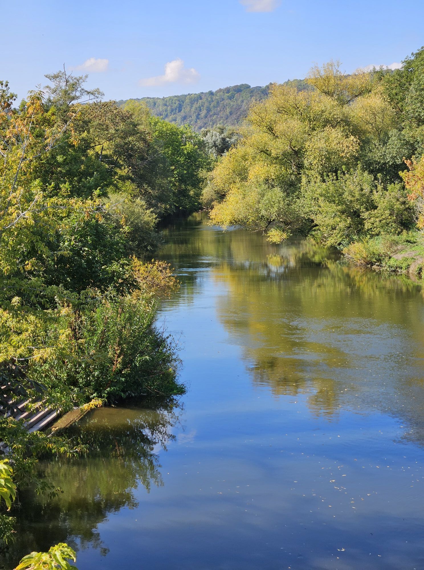
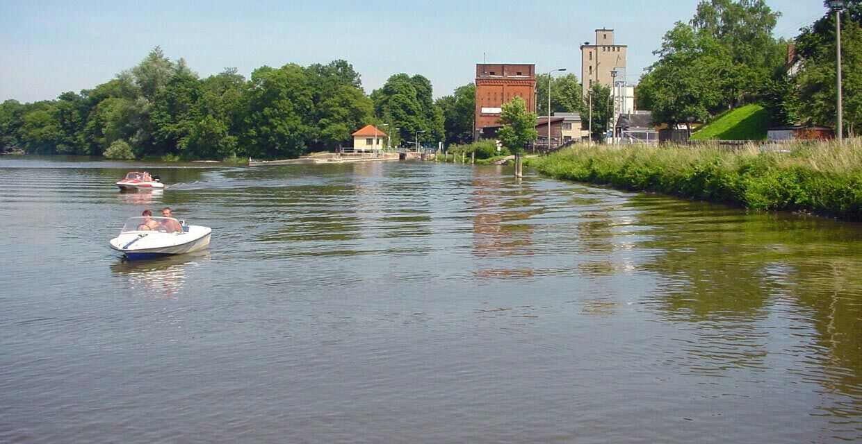
 © Jens Baumann 1Vytvořeno dne 05.10.2025
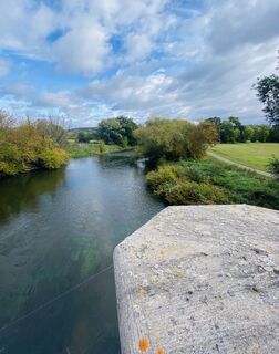 © Jens Baumann 1Vytvořeno dne 05.10.2025
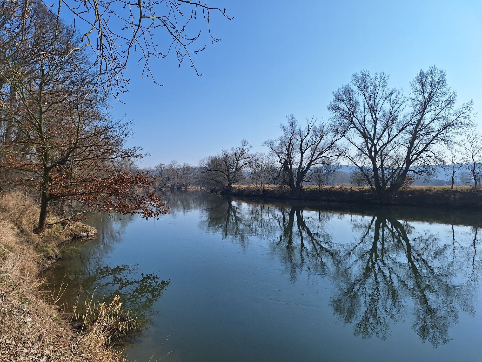
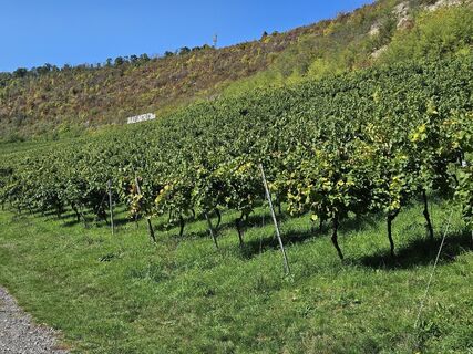 © Manfred MummeVytvořeno dne 30.09.2025
 © Manfred MummeVytvořeno dne 30.09.2025
 © Manfred MummeVytvořeno dne 30.09.2025
 © Odett RáczVytvořeno dne 09.03.2025
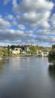
 © Franz Becker .Vytvořeno dne 14.09.2024
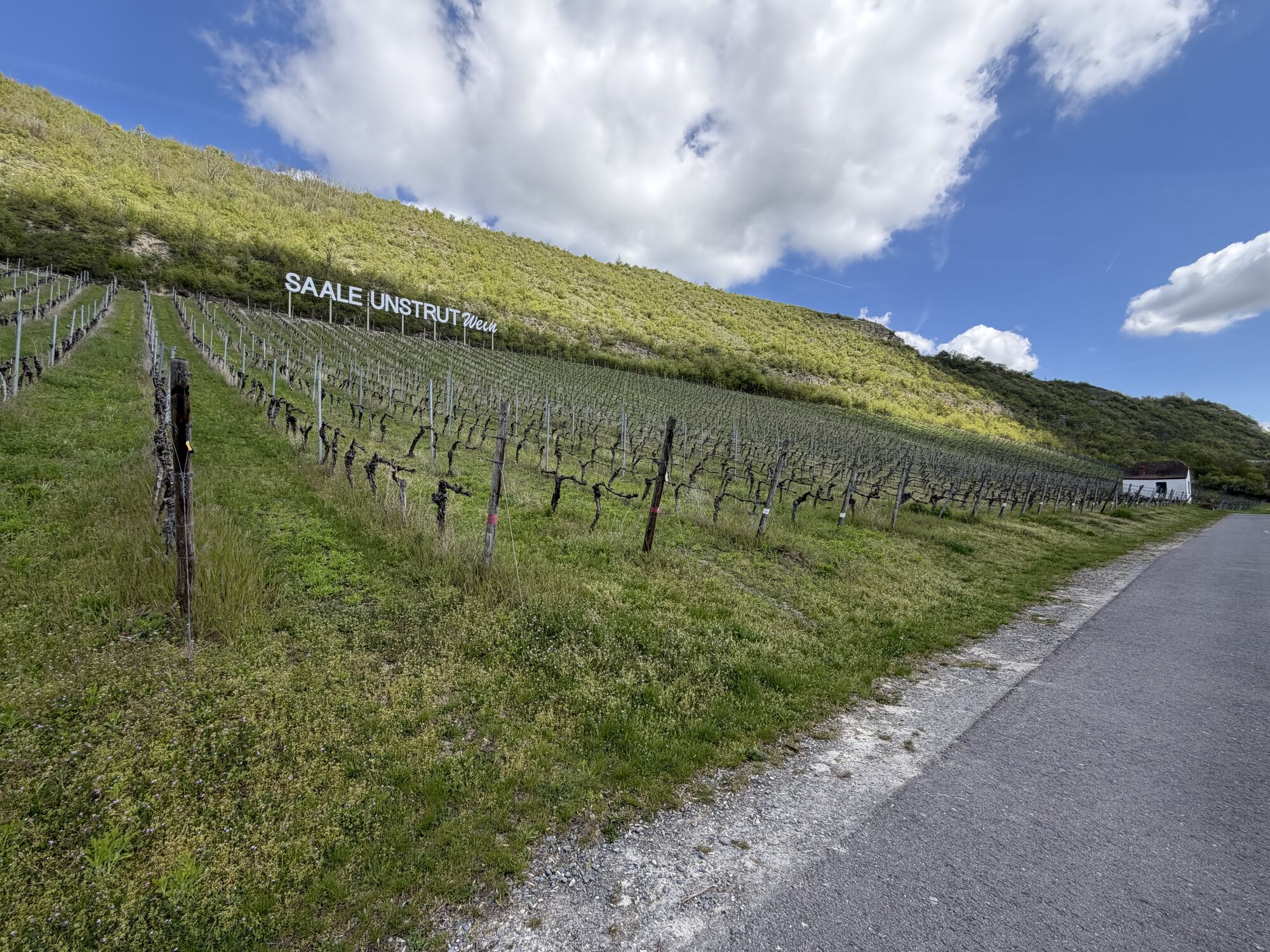


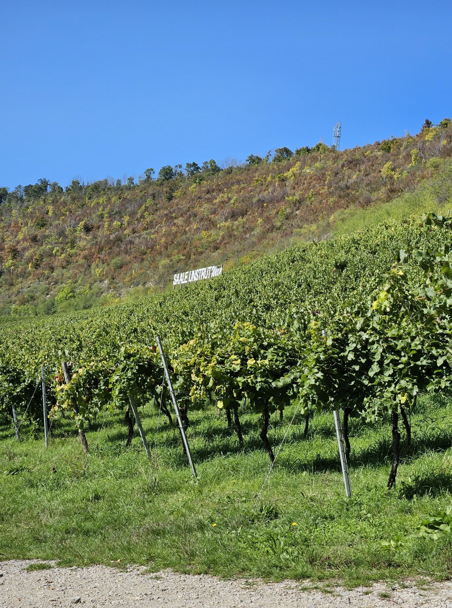
Up to the urban area of Bad Kösen, the vineyards with their imaginatively designed wine houses extend on the left. The monastery of Pforta majestically looks over from the other side of the Saale, whose...
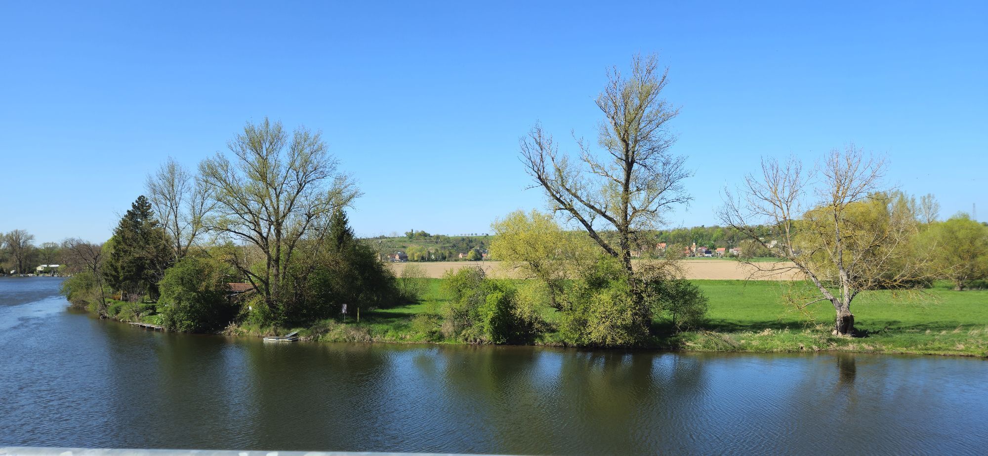
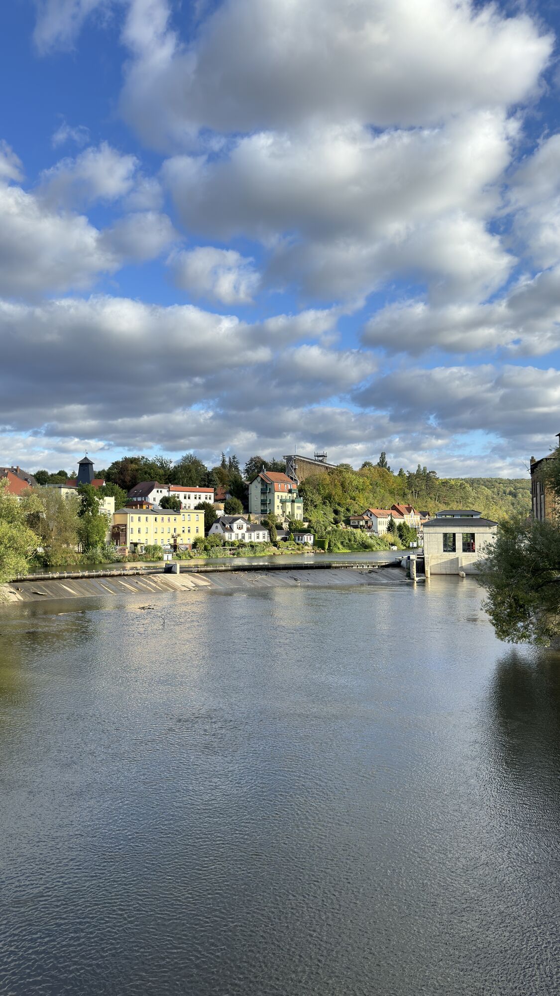
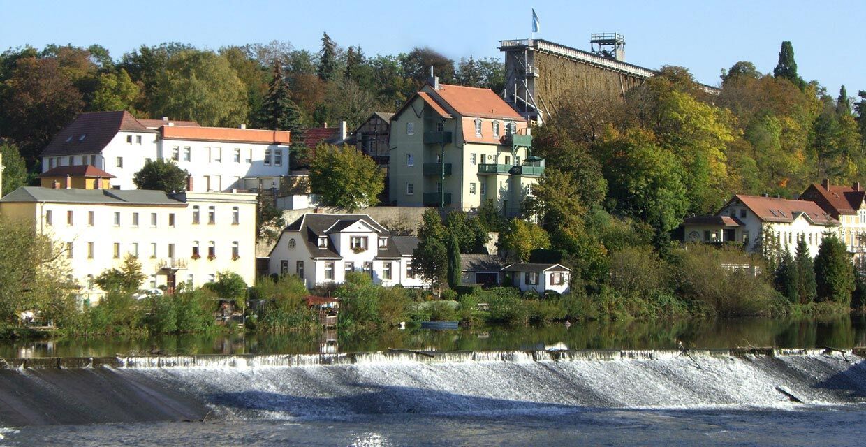
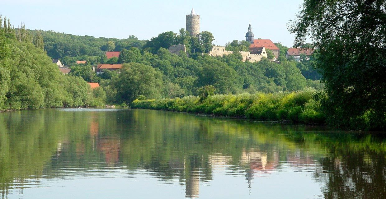
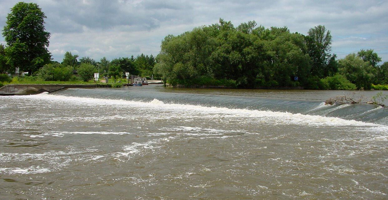
Up to the urban area of Bad Kösen, the vineyards with their imaginatively designed wine houses extend on the left. The monastery of Pforta majestically looks over from the other side of the Saale, whose most striking building is the former monastery church from 1320. The monks had already been cultivating wine around the monastery in the 12th century. The town of Naumburg, located on the right riverbank, with the characteristic silhouette of the cathedral and the Wenceslas church, can only be glimpsed from the water, so you should take a break here. A scenically impressive view is offered by the confluence of the Unstrut into the Saale. Afterwards, the river becomes wider and more leisurely, allowing you to glide past the proud Schönburg - with the canoe station of the DKV - up to the impressive ensemble of buildings of Goseck Castle. Below Goseck, you pass your first lock - Öblitz (closed Tue, Wed), but portage options are available - and finally reach the town of Weißenfels.

Weirs and Locks:
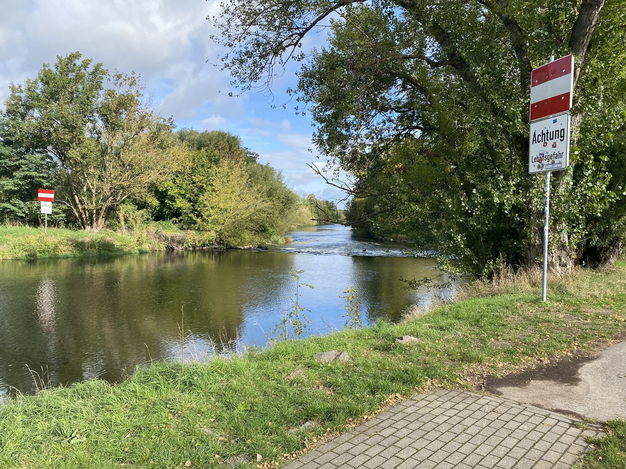
Bad Kösen weir: Iron piles in the weir - navigation forbidden!!! The weir runs parallel to the direction of travel on the left side. After the small passenger ferry, you should navigate close to the right bank into the side arm, to get out at the stairs there, about 50 m portage.
Stone weir in Naumburg (Altenburg weir): exit on the right at the slope, about 50 m portage, pay attention to strong back currents when entering.
Oeblitz lock Weißenfels: entrance on the right bank. The lock has slanted side walls. Stay in the middle while locking. Alternatively, portage about 120 meters, a boat trolley is very helpful.
Tel.: 03443/ 20 02 28
Beuditz lock Weißenfels: entrance to the lock on the right bank. Alternatively, there is a boat passage on the left bank, certainly the better option, it is faster and more fun. Then keep right to reach the next lock shortly afterwards.
Tel.: 03443/ 80 26 40
Brückenmühle lock Weißenfels: entrance right bank, if you used the boat passage, go directly before the weir to the right into the small side arm. Portage about 20 meters past the weir.
Tel.: 03443/ 30 71 55
Directly via the B87 to Bad Kösen
Parking lot "Uferstraße" directly on the Saale
3
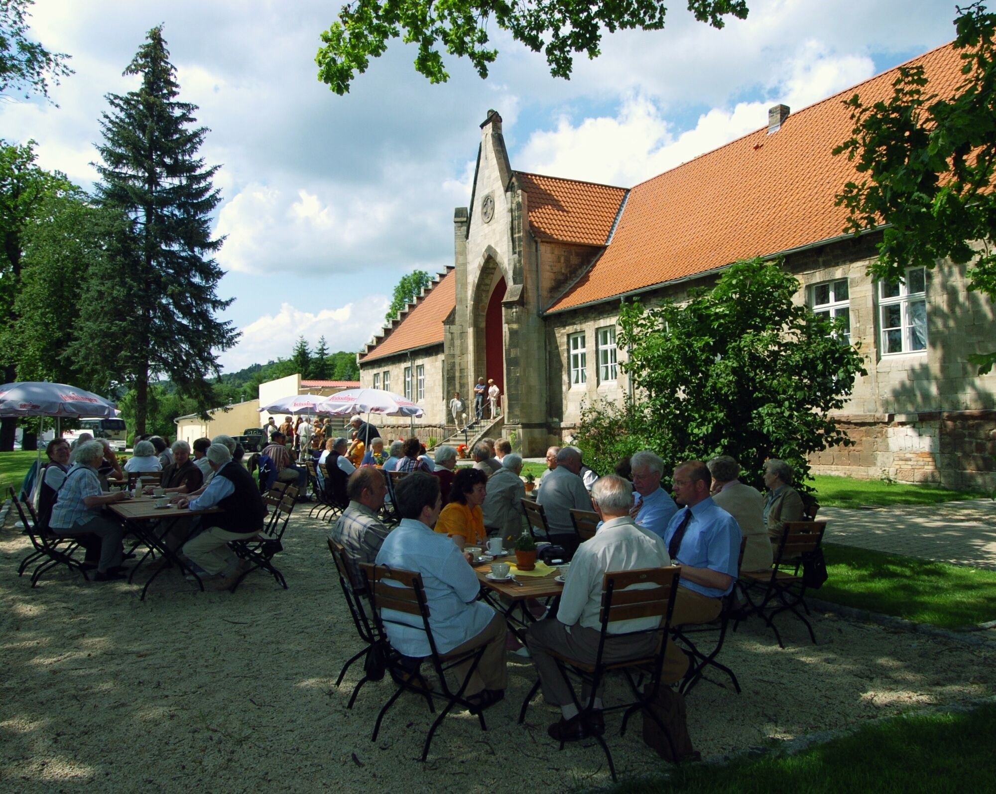
In Schulpforte, you can take a break at the Fischhaus. A boat dock is available.
A visit to the Monastery of Pforta is also possible on foot from here (300 m).
Saale-Unstrut-Tourismus e.V.
Lindenring 34
06618 Naumburg
Tel.: 0 34 45 / 23 37 90
info@saale-unstrut-tourismus.de
www.saale-unstrut-tourismus.de
Tourist information of the city of Naumburg
Markt 6
06618 Naumburg
Tel.: 0 34 45 / 27 31 25
Weißenfelser Land e.V. Tourism Association
Tourist information Weißenfels
Markt 17
06667 Weißenfels
Tel.: 0 34 43 / 30 30 70
Oblíbené prohlídky v okolí
- 5,0
Rundweg Blütengrund
světloTuristika 8,28 km Rundweg Rudelsburg
středníTuristika 8,63 km- 3,0
Saale-Unstrut-Elster Radacht
středníJízda na kole 172,8 km Schweigenberg - Rundweg
středníTuristika 7,36 km- 5,0
Weinmeile
světloTuristika 11,0 km - 5,0
Tote Täler, Naumburg (Saale), Deutschland
světloTuristika 7,78 km - 5,0
Saale - water hiking from Camburg to Naumburg - stage 10
světloKajak / Kánoe 26,3 km - 3,0
Weißenfels - Roßbach - Saaleradweg Weißenfels
světloJízda na kole 47,7 km Zur Rudelsburg
středníMountainbike 52,5 km- 4,0
Naumburg (Saale), Runde nach Schulpforta mit Joe's Home
světloTuristika 8,25 km

Pěší turistika a stopování


Nenechte si ujít nabídky a inspiraci pro vaši příští dovolenou
Vaše e-mailová adresa byl přidán do poštovního seznamu.