






Bad Neuenahr Circular Route No. 3 - Two Towers Route

This hike promises a view of Cologne Cathedral – and twice at that. But not only the magnificent distant views from the observation towers on the Bad Neuenahr Mountain and the Steckenberg are highlights...
This hike promises a view of Cologne Cathedral – and twice at that. But not only the magnificent distant views from the observation towers on the Bad Neuenahr Mountain and the Steckenberg are highlights of this route. The historic wine village of Bachem, a beautiful path along the Ahr, and through the spa park of Bad Neuenahr give this hike variety and relaxation.

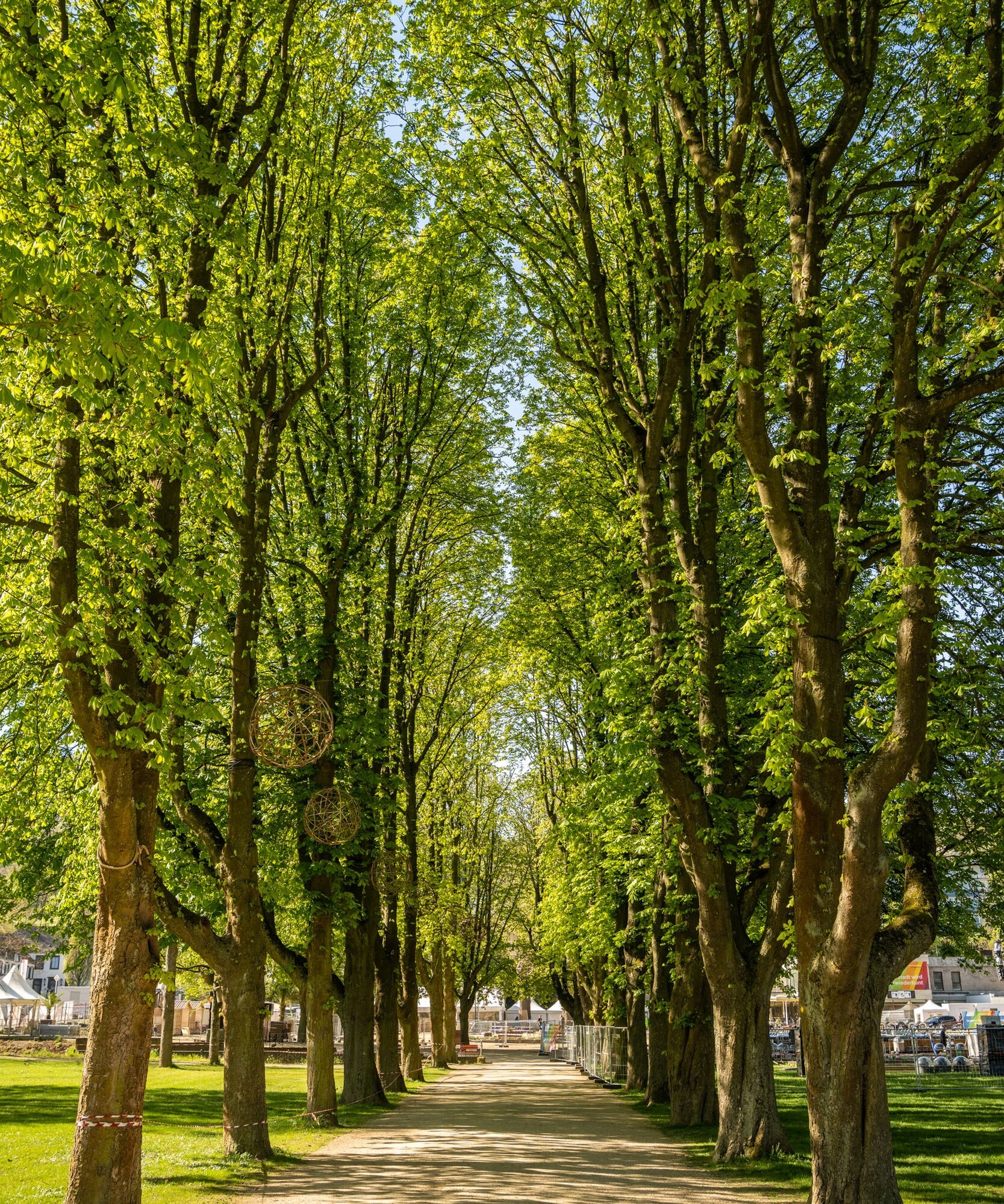
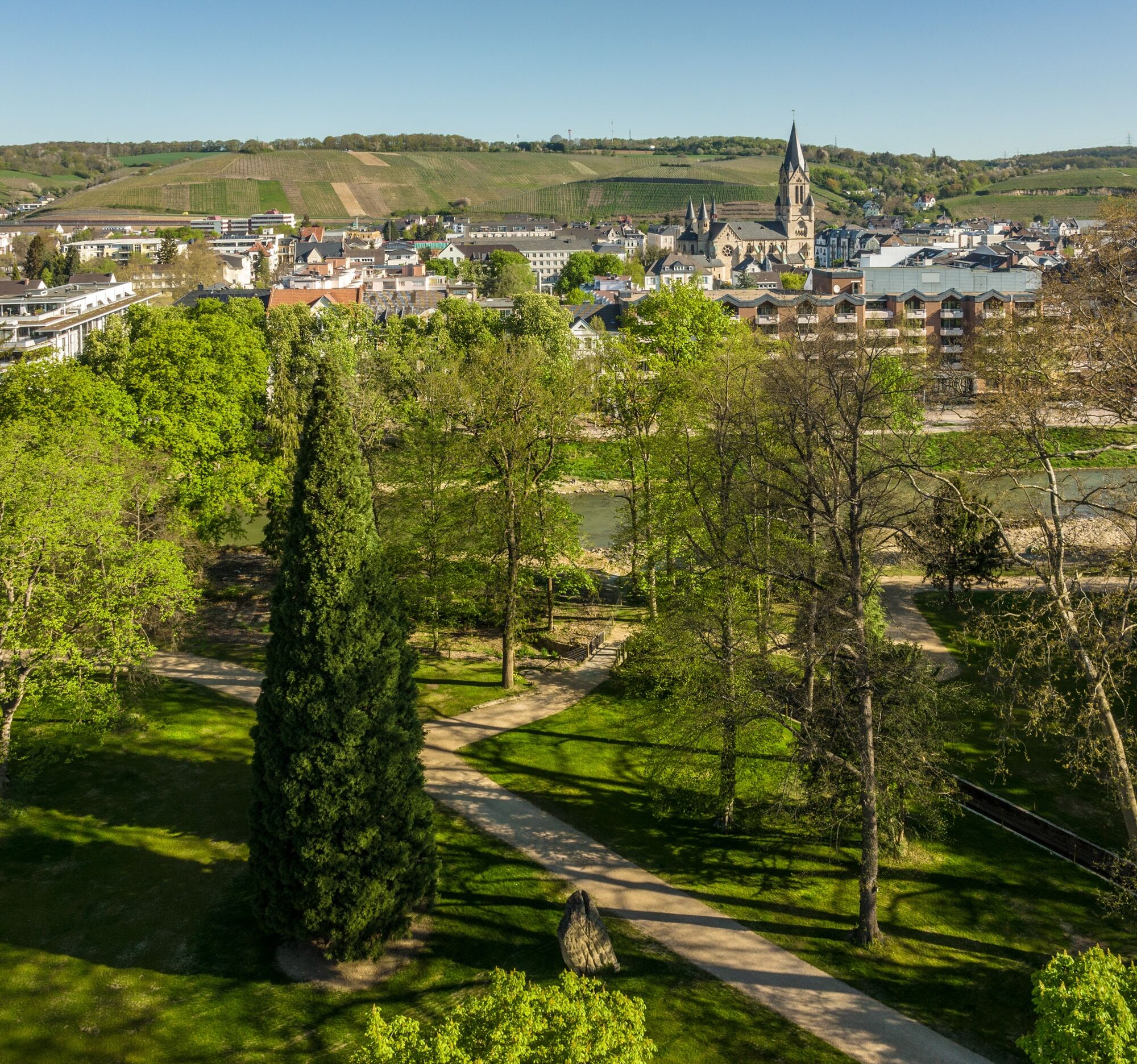
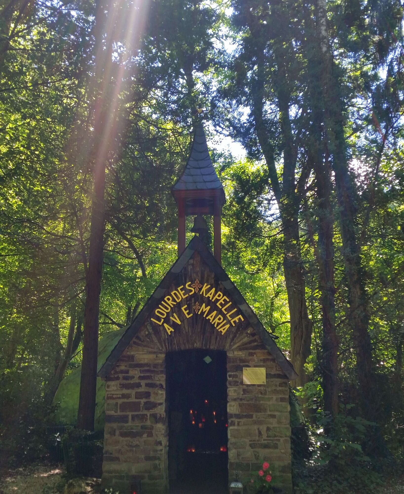
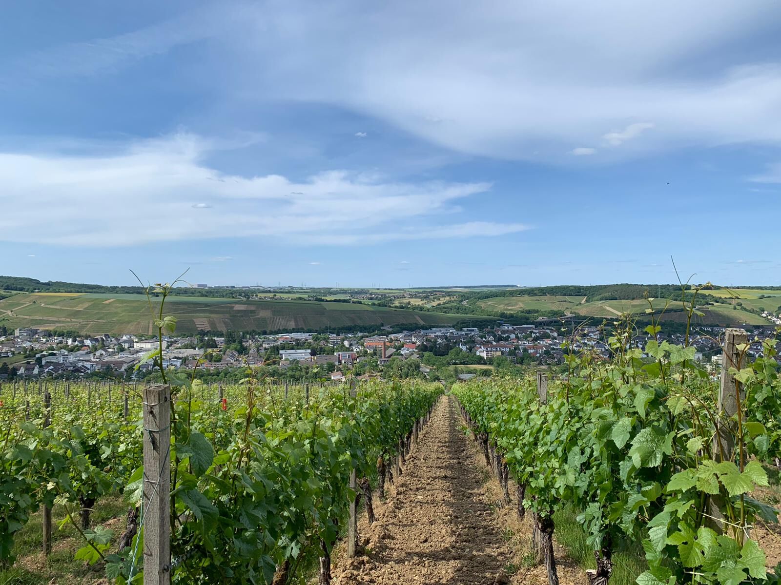
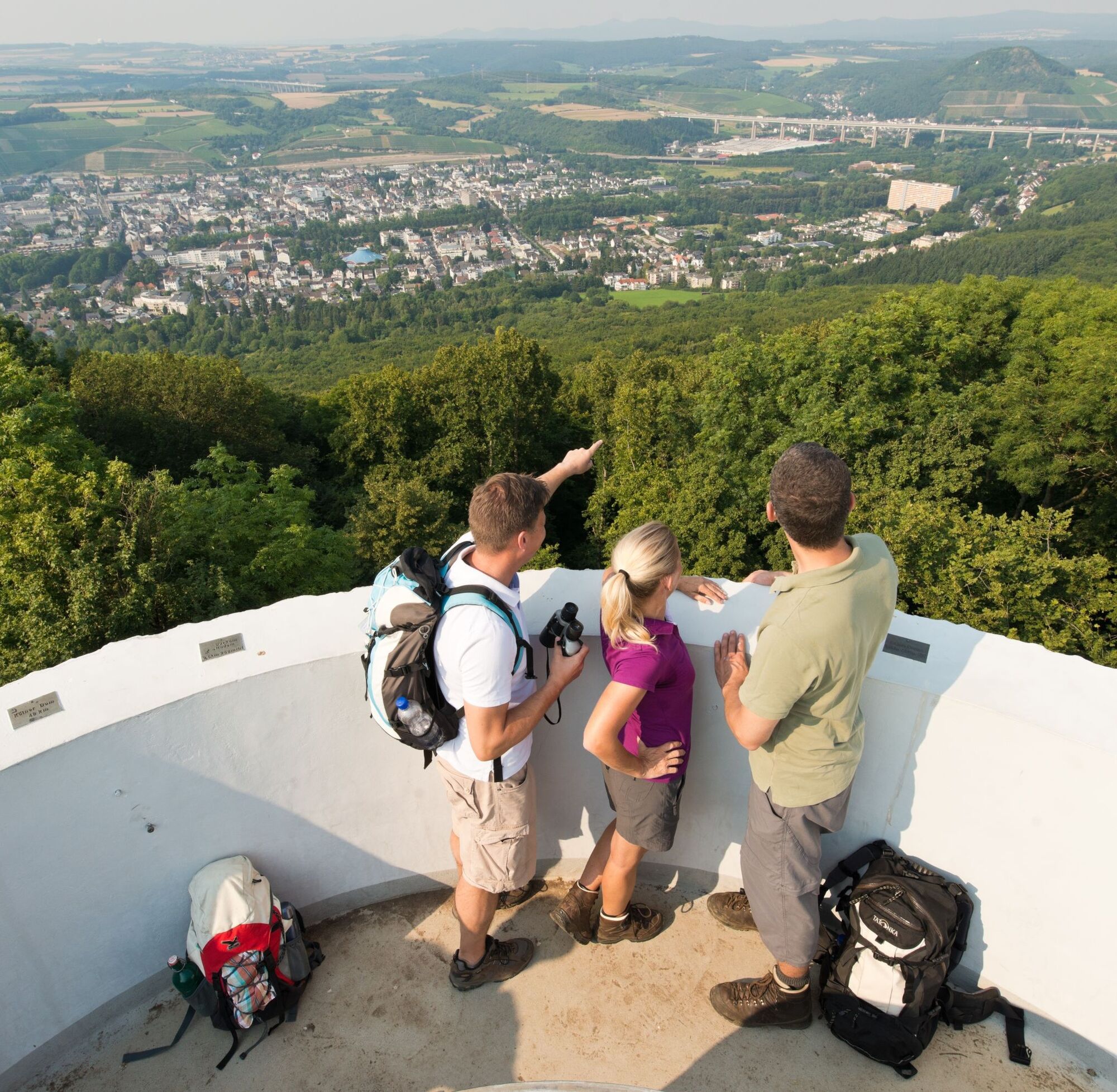
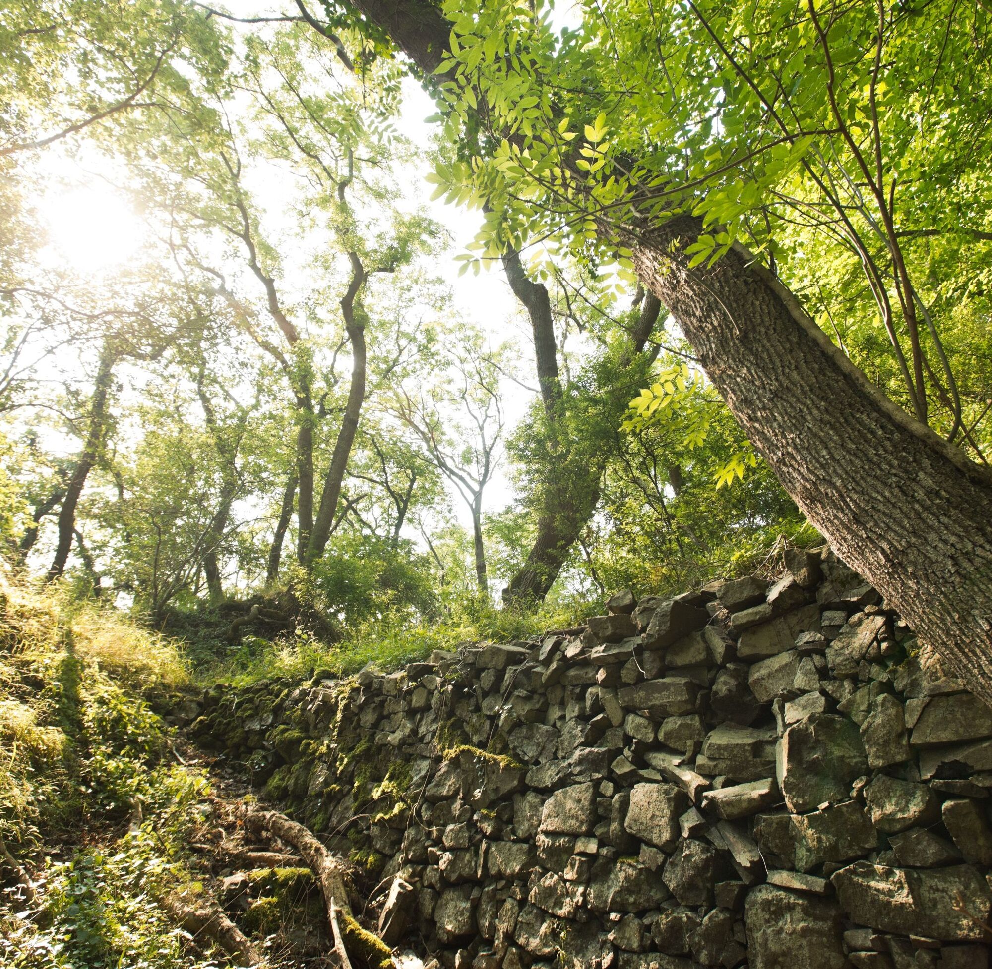

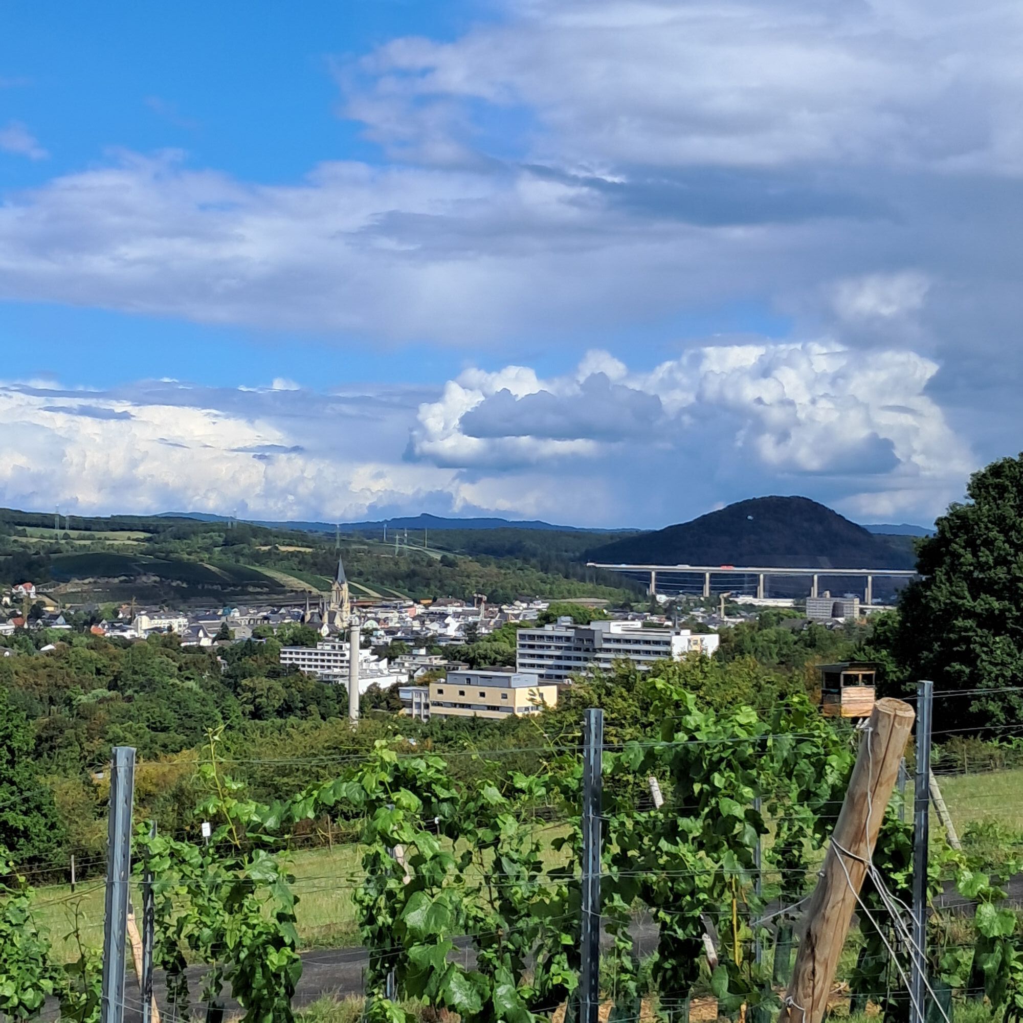
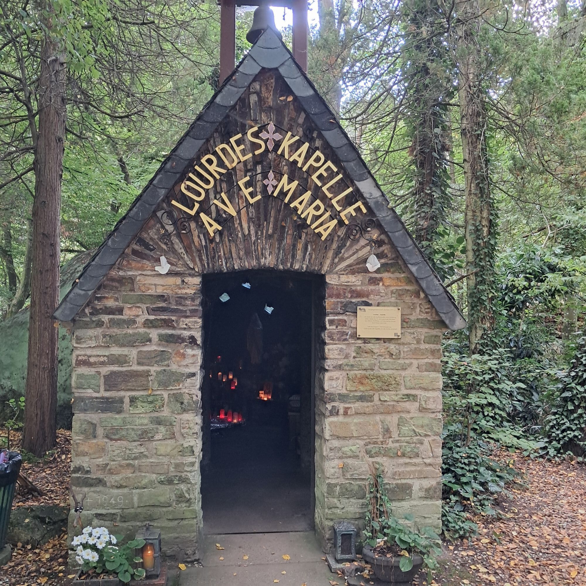
The start and finish of this varied hike is the Lourdes Chapel near Bachem. From the chapel, head towards the small wine village of Bachem, always along the Bachem Creek. Passing meadows, trees, and gardens, the route leads on a shaded path through the valley. Soon, the vineyards appear on the right. At a crossroads, take a small paved road and cross a stream to Himmelsburg Street. Finally, you reach the forest, which you leave again shortly afterwards. Now you stand in the vineyard site "Bachemer Sonnenschein". The route runs parallel for a stretch with the AhrSteig and offers wonderful views over the Frühburgunder village of Bachem to the vineyards of Ahrweiler. You reach the Karlskopf Hut with a nice picnic meadow and barbecue area before descending into the center of Bachem. Passing the "Klön-Ecke" and the small St. Anna Chapel, the path heads towards the Ahr. For the next few kilometers, the route follows the well-kept riverside promenade and reaches the Dahlia Garden and shortly thereafter the spa park of Bad Neuenahr.
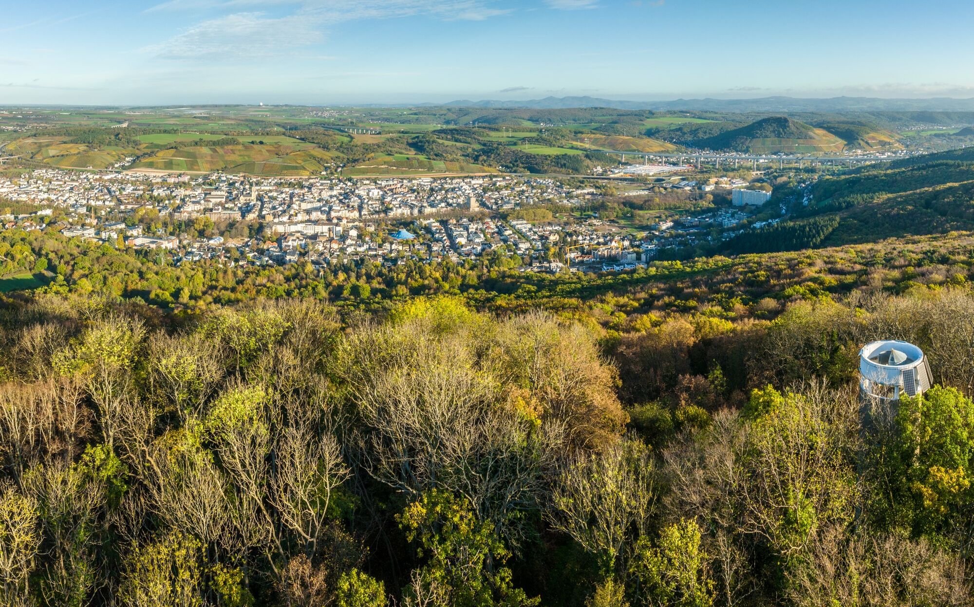
With a view of the thermal bathhouse, the spa park is left behind and the steep climb to Neuenahr Mountain is undertaken. The paved path soon ends and continues into the forest. On wide forest paths and in switchbacks, it goes to the top of the 340-meter-high Neuenahr Mountain with its 15-meter-high observation tower. The view from the tower is gigantic. The panorama ranges from the district town Bad Neuenahr-Ahrweiler over the Siebengebirge to Cologne Cathedral, whose silhouette can be seen on the horizon in good visibility.
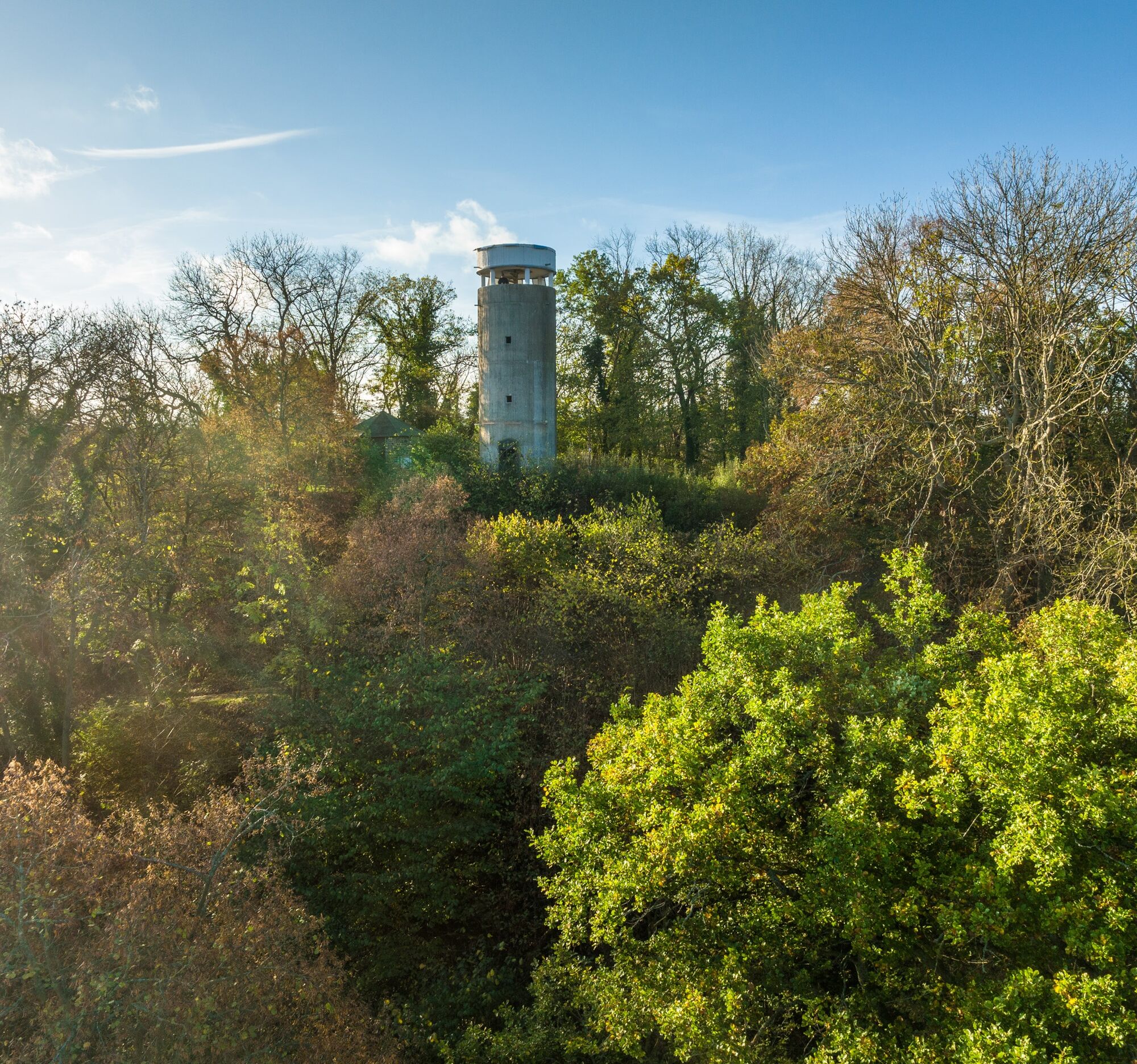
Through the forest, it continues to the second observation platform of this route – the Steckenberg Tower on the 371-meter-high Steckenberg. From here, the spires of Cologne Cathedral as well as Petersberg and Drachenfels in the Siebengebirge also greet you.
Now continue with the final stage of this circular hike. On a forest path, first the Bloser shelter and the Andertal hut are reached and finally also the romantic Lourdes Chapel at the Bachem Creek.
The detailed route description with tips for places to eat, beautiful views, and elevation profiles can be found in the hiking book: "Around Bad Neuenahr-Ahrweiler. The 15 most beautiful hiking trails" from J.P. Bachem Verlag (ISBN 978-3-7616-2844-7).
Sturdy footwear
No special safety instructions are required.
By car coming from the north via the A61 to the Bad Neuenahr-Ahrweiler highway interchange. The short access motorway A 573 leads to Bad Neuenahr, Ahrweiler, and the other districts.
Coming from the south, leave the motorway at the Sinzig / Bad Neuenahr exit and then follow the access motorway A 571 and the bypass road B 266 towards Bad Neuenahr-Ahrweiler.
No direct public transport connection. It is about 2 km to the bus stop at the Ahrweiler youth hostel.



Oblíbené prohlídky v okolí
-
4.4
Andernach - Trasshöhle - Teufelsknochen - Siebengebirgsblick
středníTuristika 12.6 km -
4.7
Steinerberg - Altenahr über Teufelsley und Teufelsloch
středníTuristika 9.30 km -
4.0
Teufelsloch-Höhenwanderung
středníTuristika 7.44 km -
4.7
Round route Bad Neuenahr No. 5 - Through the Ramersbach Forest
středníTuristika 9.31 km -
Weinwanderung Dernau nach Ahrweiler
Turistika 23.4 km -
4.7
Rundwanderung Rech / Steinerberg
středníTuristika 14.2 km -
5.0
Kasbachtal
světloTuristika 10.2 km -
Burg Are - Engelsley Nord - Süd und im Tal zurück
heavyHorská turistika 3.63 km -
5.0
Leichte Rund-Wanderung Dernau / Mayschoß
světloTuristika 5.46 km -
5.0
Ahrschleife Weinbergblicke
Turistika 15.4 km
Pěší turistika a stopování


Nenechte si ujít nabídky a inspiraci pro vaši příští dovolenou
Vaše e-mailová adresa byl přidán do poštovního seznamu.





