







Moselsteig side route Leiermannspfad

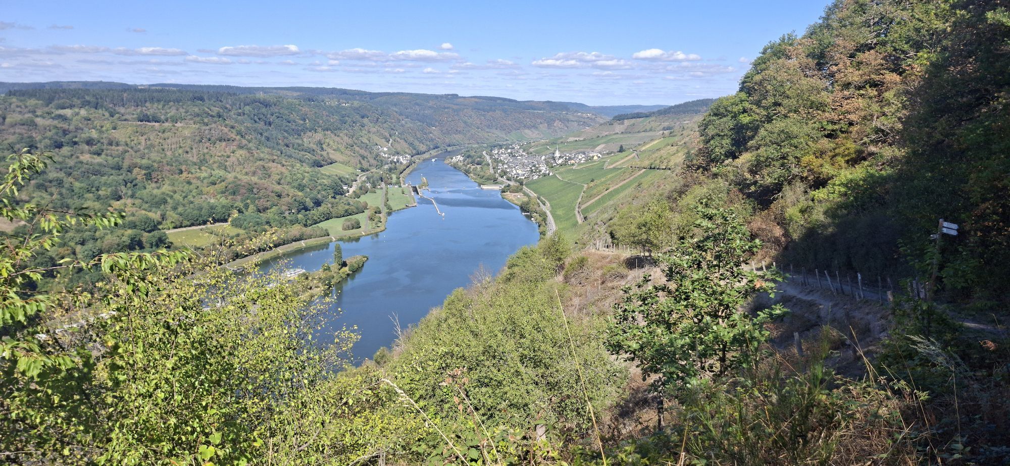
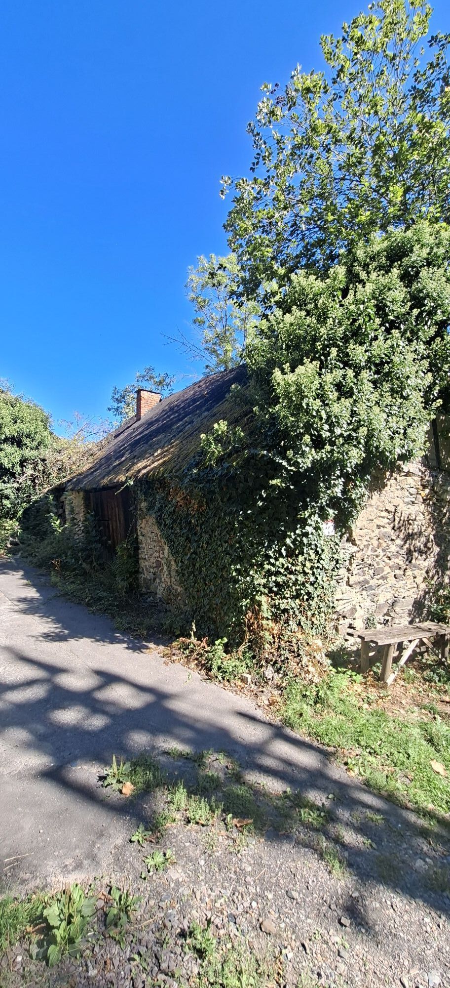
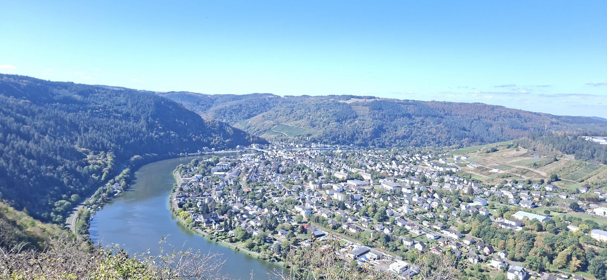
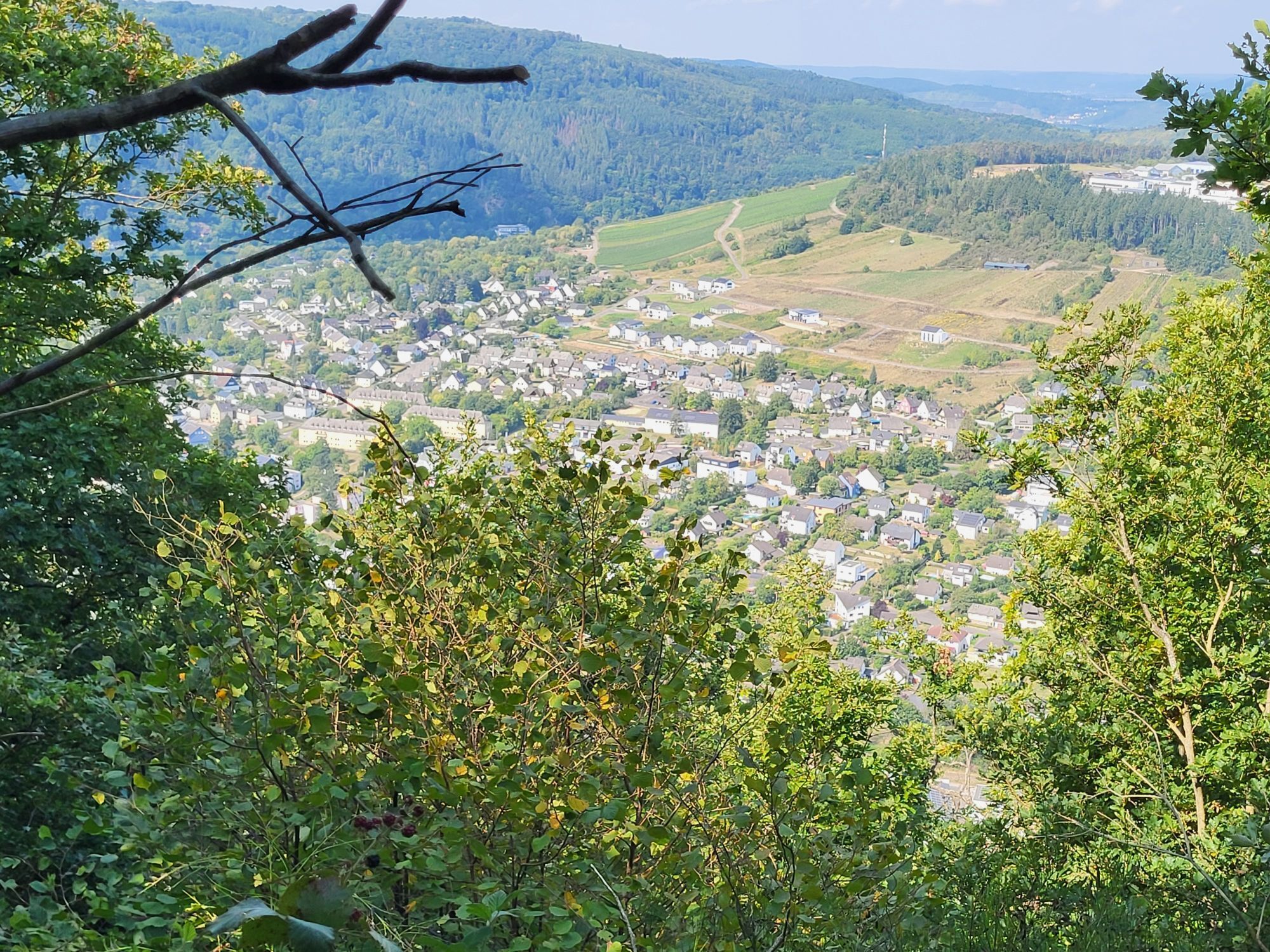
Past old mills through mystical forests to the heights of Starkenburg and over award-winning vineyards leads this legendary side route. Those who believe in legends and tales might even meet the Leiermann...
Past old mills through mystical forests to the heights of Starkenburg and over award-winning vineyards leads this legendary side route. Those who believe in legends and tales might even meet the Leiermann from the Ahringsbach.
After starting in Enkirch, the path first leads slightly downhill into the Ahringsbach valley, past the old monastery church, and into the narrow ravine. You now hike slightly uphill through the valley past the Ahringsmühle to the Starkenburg Mill, from where a detour to the somewhat higher-lying historic Upper Starkenburg Mill is worthwhile. The following steep ascent through the forest leads to Starkenburg with its old, still fully functional bakehouses before you reach the viewpoint "Auf'm Rech" on the edge of the village. The subsequent course of the side route corresponds to that of the Moselsteig – an alpine section leads over the Kirster Ridge with many viewpoints, path sections, rocky trails, and spectacular panoramas before returning to Enkirch with its picturesque half-timbered houses.

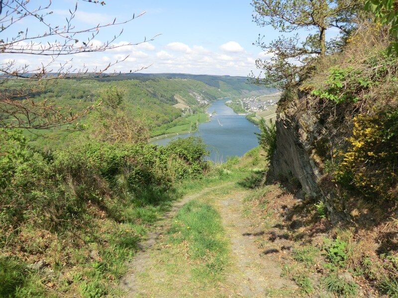
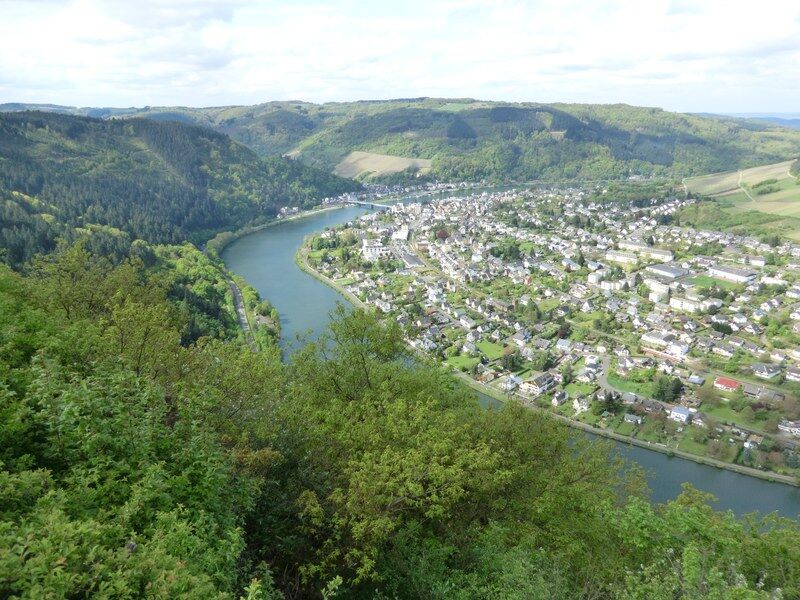
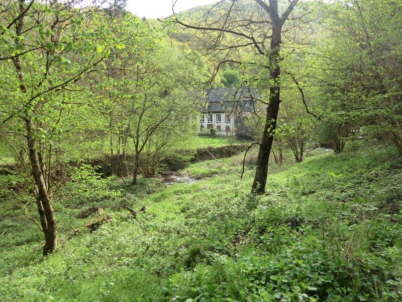
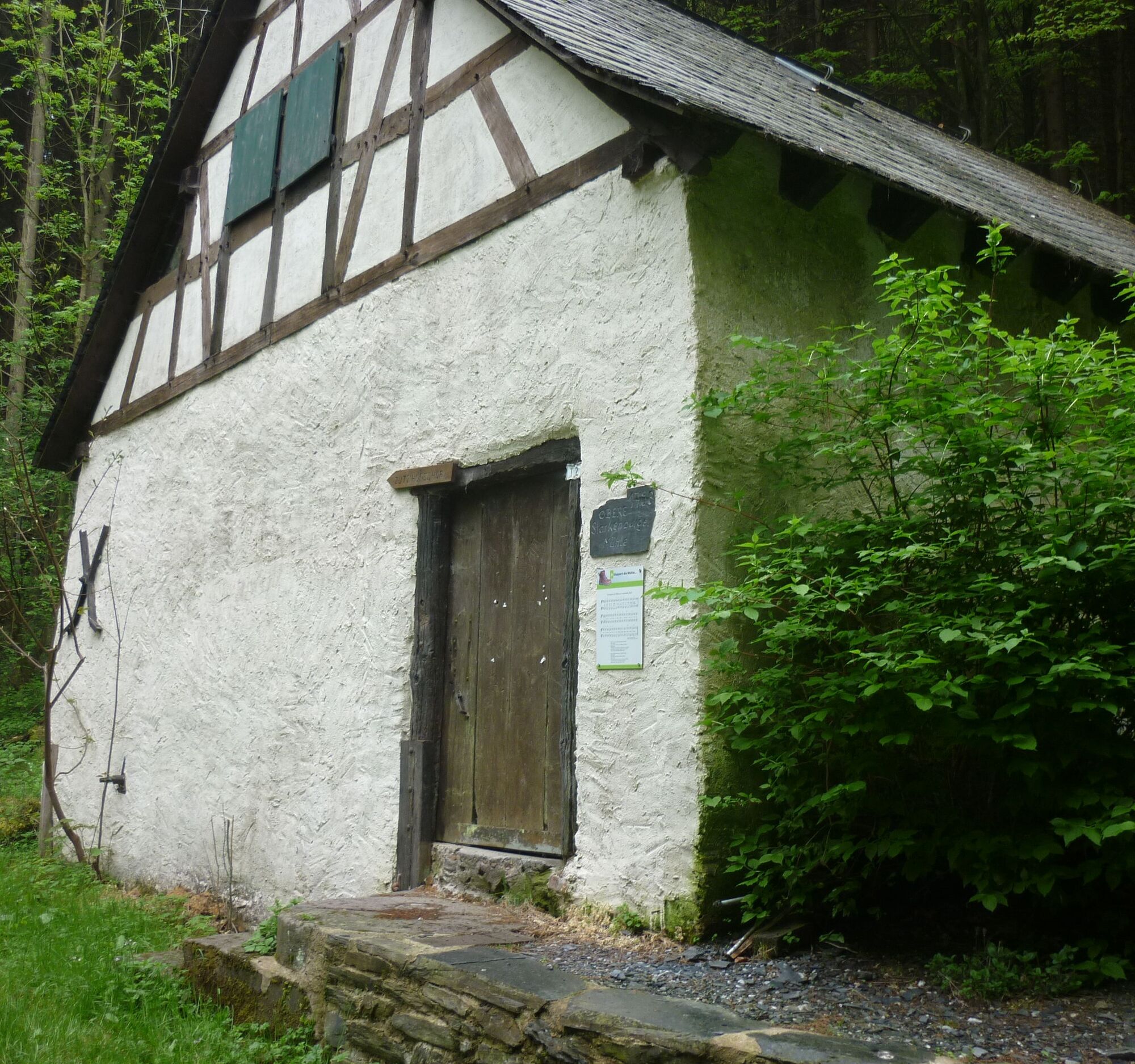
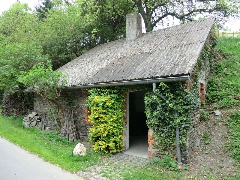
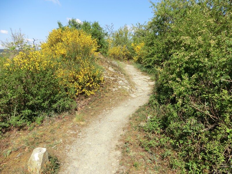
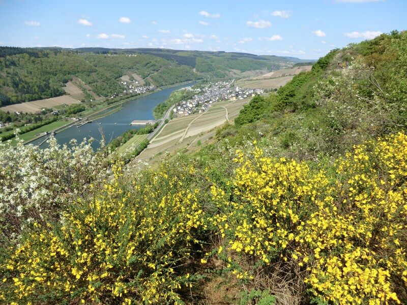
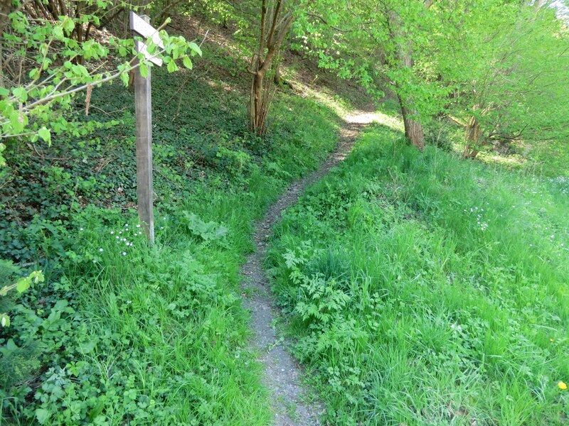
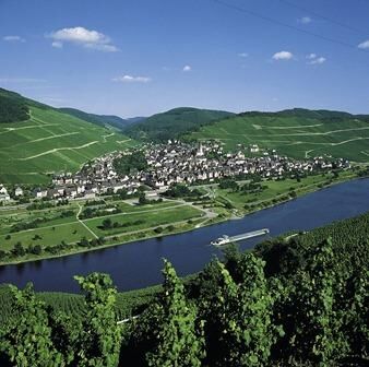
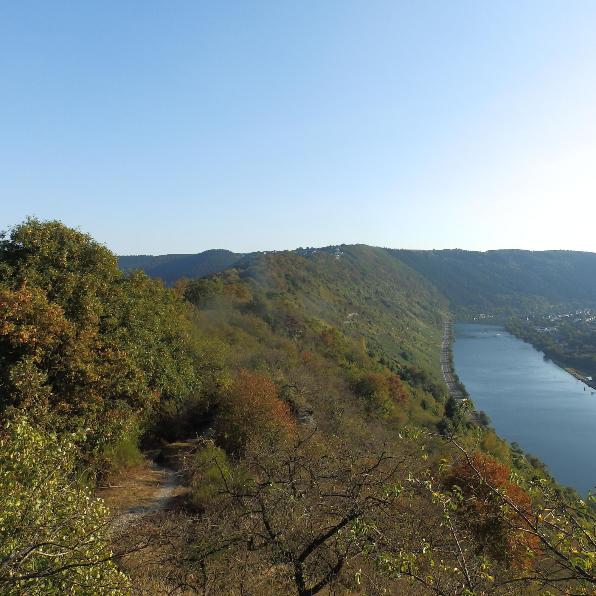
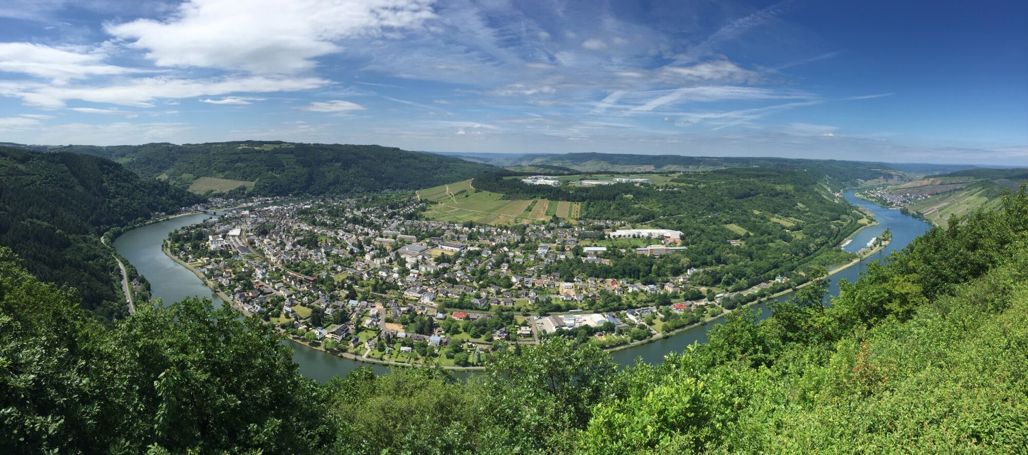
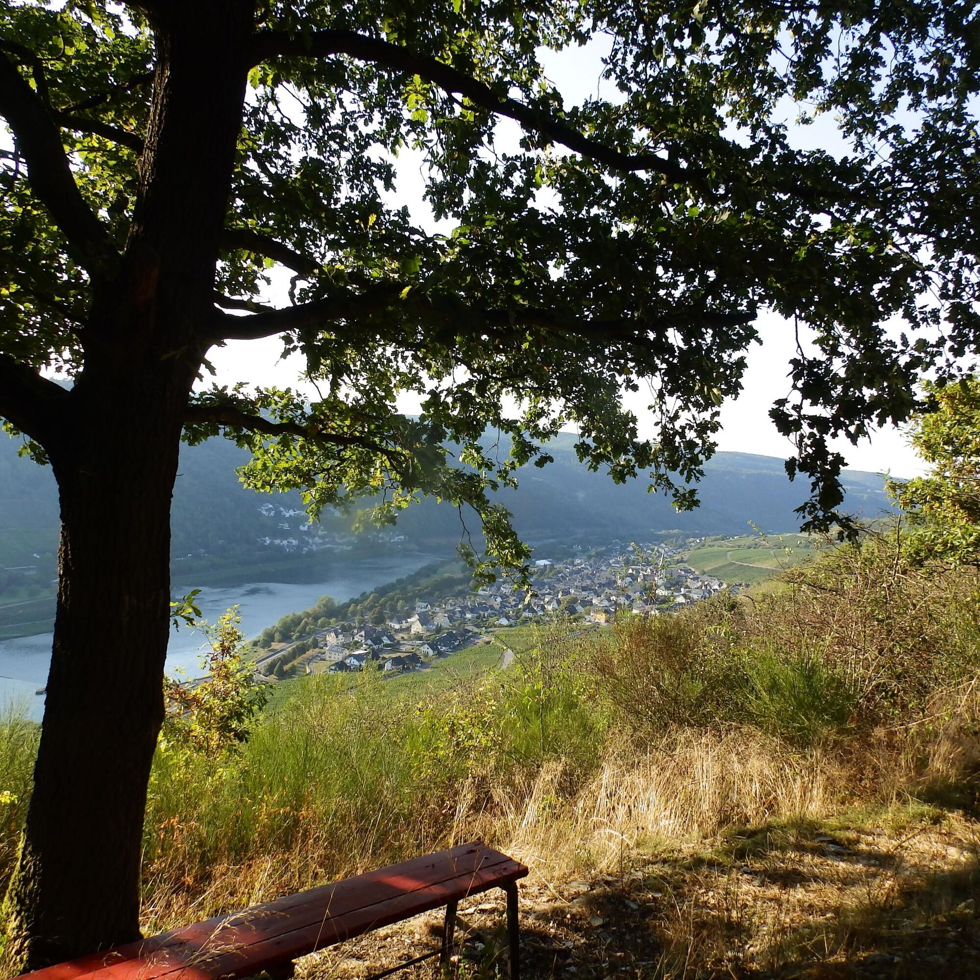

The starting point "Off Schart" in Enkirch offers a picturesque setting for the beginning of the varied route through a side valley of the Mosel and over an airy rocky ridge.
A short cobblestone section leads, accompanied by the Moselsteig, slightly uphill in the village to Sponheimer Straße (L 192). After a few meters, the Moselsteig branches off. If you want to walk the Leiermannspfad clockwise, you continue on a short stretch of the state road. After the last house, a path branches off that leads slightly downhill through the forest to the old monastery church. Unfortunately, the place of worship is closed, but the church also makes an impressive impression from the outside. The monastery church is located at the confluence of the Ahringsbach into the Großbach.
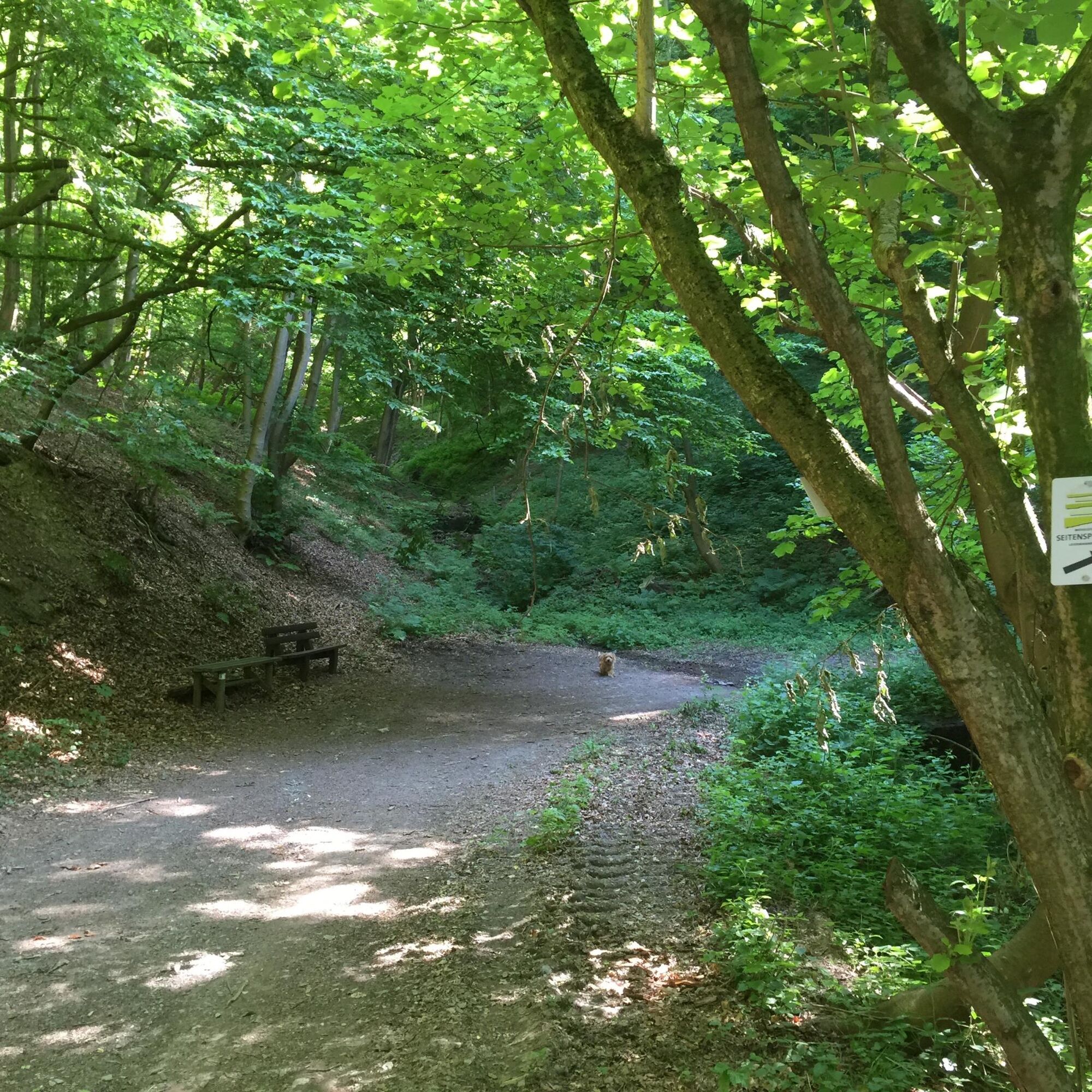
The Leiermannspfad now follows the Ahringsbach to the Upper Starkenburg Mill. Just behind the church, it goes steeply uphill for a few hundred meters. The following approx. 3 km in the valley also ascend, but the incline is no steeper than that of the Ahringsbach, which the path constantly accompanies. Along the way, you pass the Ahringsmühle, which, like most mills in the Ahringsbach valley, lies in a deep sleep. At the next mill, the Starkenburg Mill, there is the possibility to make a short detour (0.4 km for the route there and 0.4 km back) to the Upper Starkenburg Mill. The detour is worthwhile not only because of the historic building but also because there is a beautiful rest area there.
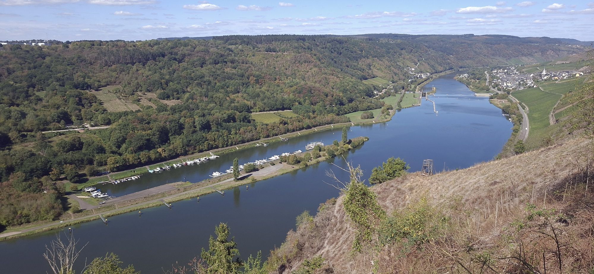
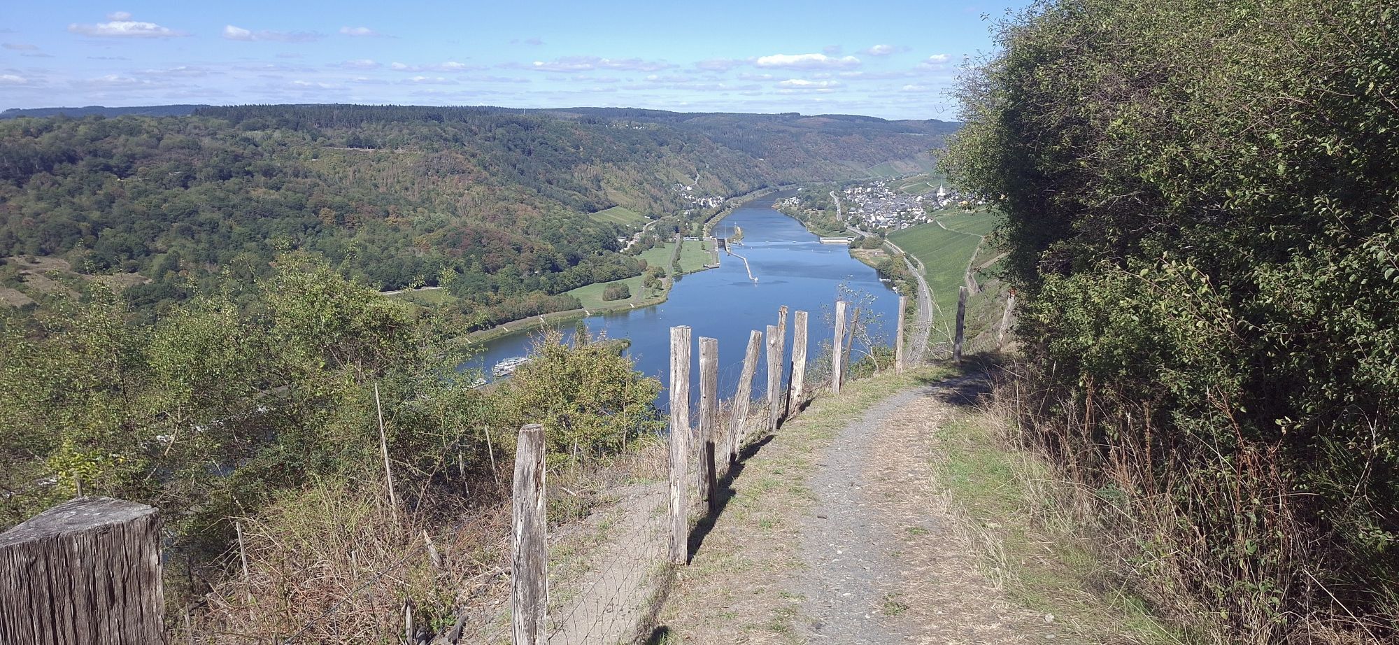
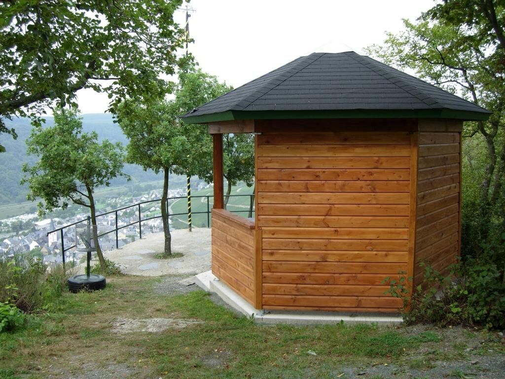
Back at the Starkenburg Mill on the Leiermannspfad, you now have a steep, approx. 1 km-long climb through the forest ahead of you. When you arrive in Starkenburg, the ascent is not yet finished, but the historic buildings (e.g., the two bakehouses) in the village definitely deserve a stop and thus a break. There is also an opportunity to refresh here. At the edge of the village, you reach the highest point of the Leiermannspfad, the pavilion "Auf'm Rech." From here, you probably have the most beautiful view of the Traben-Trarbach Mosel loop.
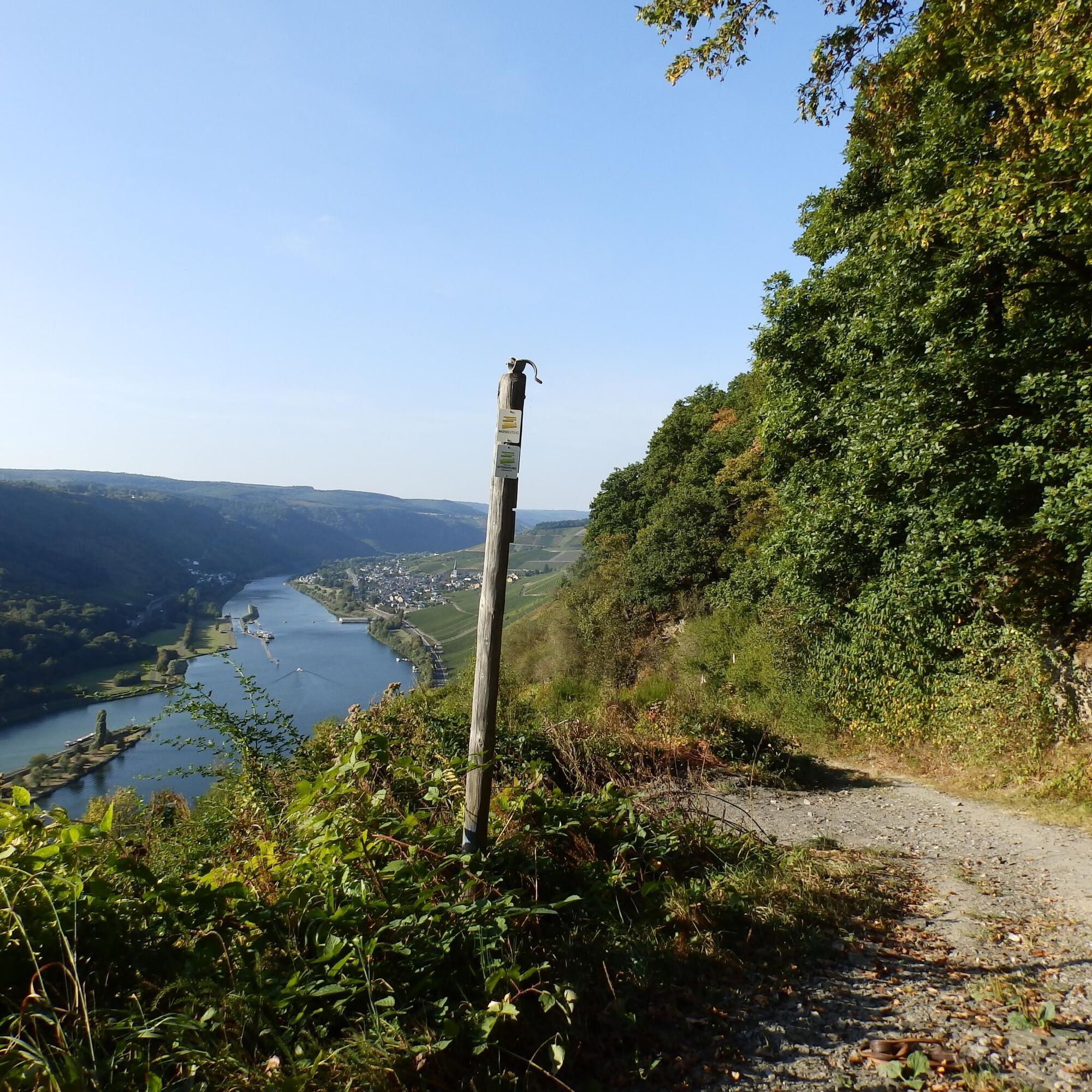
Directly below the pavilion, the path meets the Moselsteig, which the Leiermannspfad follows back to Enkirch. Near the edge of the village, it goes on an almost flat path through the low oak forest. Soon you reach the former school gym area, which offers a great view of the Mosel, this time downstream towards Enkirch.
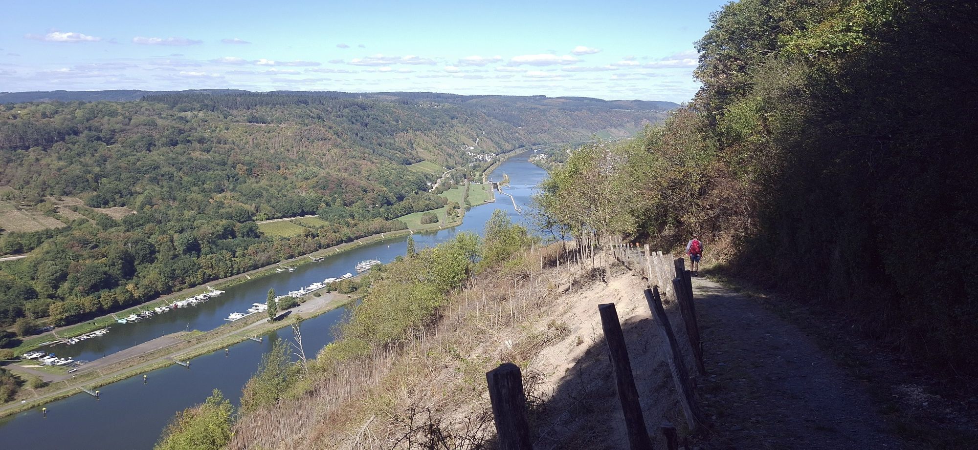
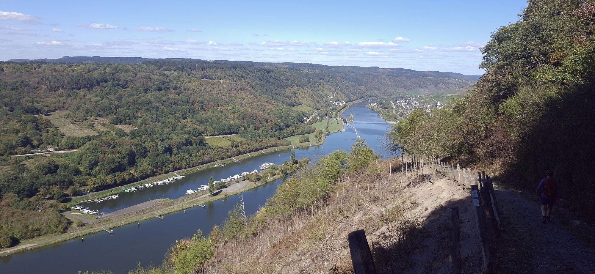
Then a short distance leads downhill through the village, past the mostly open Pilgrim Church. The Leiermannspfad and Moselsteig leave Starkenburg and continue downhill into the upper slope of the Ahringsbach valley. The descent is only short. It goes steeply to the L 192, which is crossed directly. From here, the path goes steadily downhill to Enkirch, interrupted only by a few intermediate ascents. The path, which often runs as a rocky trail over the ridge, repeatedly offers great views of the Mosel. Here on the Kirster Ridge, the Leiermannspfad has an almost alpine character. Several rest areas and shelters (including the pavilion Rottenblick) can be used for a break (always with a view of the Mosel) before the Leiermannspfad returns to Enkirch (Sponheimer Straße) via a stairway. The starting point "Off Schart" is now just a few steps away.
Ano
The path is well walkable in hiking boots.
Enkirch: B 53 between Traben-Trarbach and Zell
Starkenburg: via L 192 from Enkirch
Enkirch, bus line 333, stop B 53 of the line Traben-Trarbach-Bullay
Distance to the starting point "Off Schart" approx. 0.8 km
Enkirch: large parking lot between B 53 and Mosel riverbank (near motorhome parking)
Starkenburg: parking lot at the community center in Burenstraße
Ano
Ano
Mosellandtouristik GmbH
Kordelweg 1, 54470 Bernkastel-Kues; Telephone: 06531/97330
Moselregion Traben-Trarbach Kröv
Bahnstraße 22, 56841 Traben-Trarbach; Tel.: 06541-8184572
In hot weather, a picnic at the rest area of the Upper Starkenburg Mill is recommended. There you sit close to the water, surrounded by shade-giving trees.




Oblíbené prohlídky v okolí
- 5.0
Moselsteig stage 11: Bernkastel-Kues - Ürzig
střednídálková pěší trasa 17.1 km - 5.0
Moselsteig Detour Graf Georg Johannes route
středníTuristika 14.1 km - 4.2
Moselsteig stage 14: Reil – Zell (Mosel)
světlodálková pěší trasa 12.4 km Moselsteig (entire route). Your way to experience more.
střednídálková pěší trasa 348.8 km- 4.5
Moselsteig stage 12: Ürzig – Traben-Trarbach
střednídálková pěší trasa 15.1 km - 4.0
Mosel cycle path (entire route): From Perl to Koblenz
heavyCyklistika na velkou vzdálenost 247.9 km - 5.0
Traben-Trarbach - Bernkastel en terug
středníTuristika 17.2 km - 5.0
Moselsteig stage 13: Traben-Trarbach – Reil
střednídálková pěší trasa 15.3 km - 5.0
Moselsteig stage 15: Zell (Mosel) – Neef
heavydálková pěší trasa 19.9 km - 3.8
Alf - Kanonenbahn - Prinzenkopfturm
světloTuristika 8.65 km
Pěší turistika a stopování


Nenechte si ujít nabídky a inspiraci pro vaši příští dovolenou
Vaše e-mailová adresa byl přidán do poštovního seznamu.





